Elevation of Camella La Hacienda, Teresa, Rizal, Philippines
Location: Philippines > Calabarzon > Rizal > Teresa > Bagumbayan >
Longitude: 121.224668
Latitude: 14.5508741
Elevation: 69m / 226feet
Barometric Pressure: 0KPa
Related Photos:

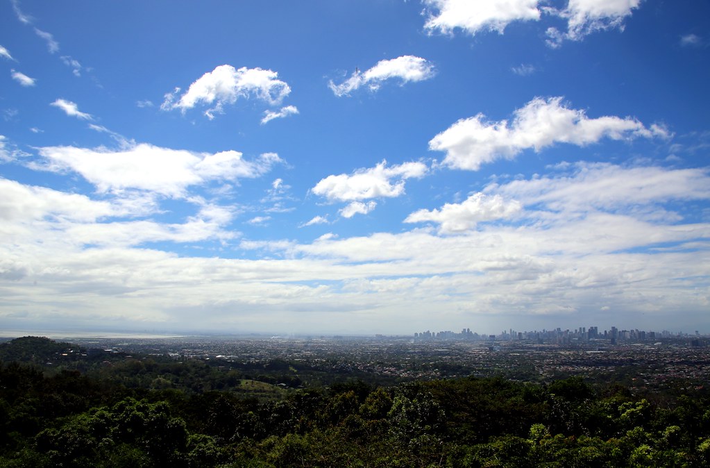
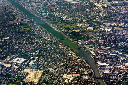
Manila (from Antipolo)

Urban mountain
Daranak Falls

Backyard View
Over Rizal Province

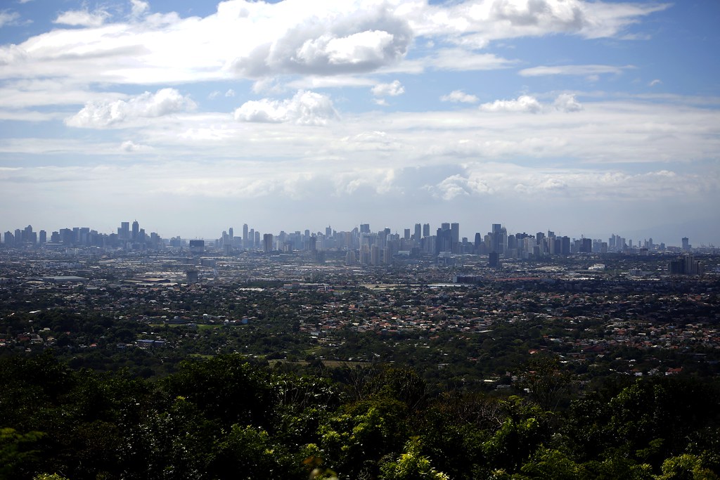
Manila (from Antipolo)
Up To Antipolo #7

Up To Antipolo #4

Up To Antipolo
Up To Antipolo #5

Mangahan Floodway
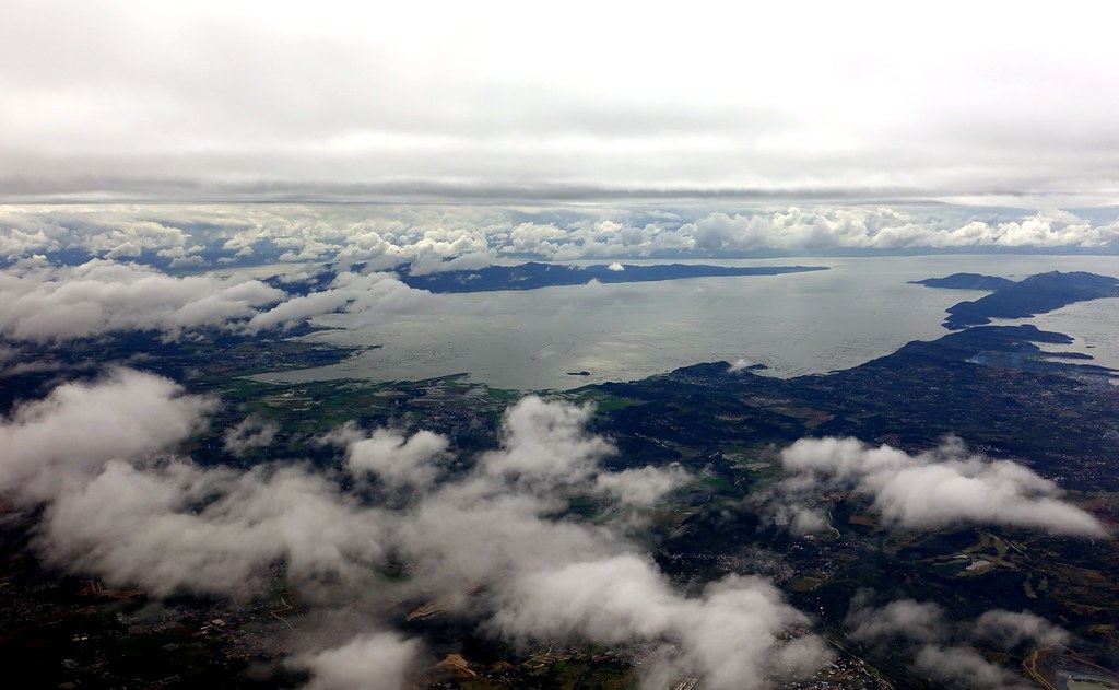
Aerial View of the Philippines

Up To Antipolo #2

Whatta view

Aerial View of the Philippines

Timberland Heights

Aerial View of the Philippines
Aerial View of the Philippines

Aerial View of the Philippines

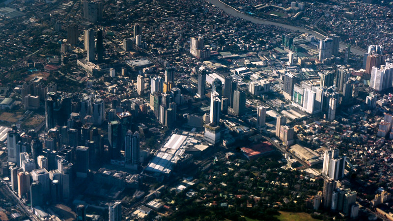
A Glimpse of the Metro (1746)
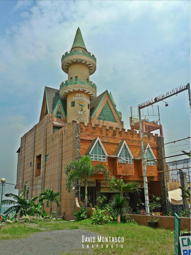
Sunset View Castle

For Whom the Bells Fall

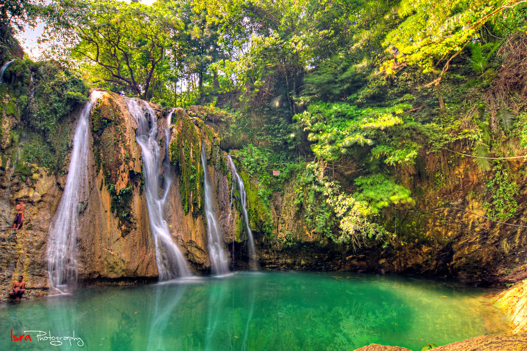
Running Water

Waterfall Season

"A rainbow is a promise"

Plant some food
Nov18.2016

jan.27.1

dec6.2016
3801.

DJI_0118 sunset

nov17.2016

july.27.2

Riding Past Sunset

Buildings, Houses and Rice Fields.

july.27.1

29/52 "oblivion love"

feb1.2017
june14.2

jun29.2
Topographic Map of Camella La Hacienda, Teresa, Rizal, Philippines
Find elevation by address:

Places near Camella La Hacienda, Teresa, Rizal, Philippines:
Bria La Hacienda
Bagumbayan
Camella La Montagna
Bloomfield Teresa
Teresa
Barangay San Gabriel
Unnamed Road
Dalig Barangay Hall
Bagumbayan
Teresa
Pantay - Buhangin Road
Pantay - Buhangin Road
Pantay - Buhangin Road
Pantay - Buhangin Road
Manna Estate
Manna East Teresa
Zigzag Antipolo City
Rizal View Park Subdivision
San Jose
Es Villa Homes
Recent Searches:
- Elevation of Window Rock, Colfax County, New Mexico, 87714, USA
- Elevation of 4807, Rosecroft Street, Kempsville Gardens, Virginia Beach, Virginia, 23464, USA
- Elevation map of Matawinie, Quebec, Canada
- Elevation of Sainte-Émélie-de-l'Énergie, Matawinie, Quebec, Canada
- Elevation of Rue du Pont, Sainte-Émélie-de-l'Énergie, Matawinie, Quebec, J0K2K0, Canada
- Elevation of 8, Rue de Bécancour, Blainville, Thérèse-De Blainville, Quebec, J7B1N2, Canada
- Elevation of Wilmot Court North, 163, University Avenue West, Northdale, Waterloo, Region of Waterloo, Ontario, N2L6B6, Canada
- Elevation map of Panamá Province, Panama
- Elevation of Balboa, Panamá Province, Panama
- Elevation of San Miguel, Balboa, Panamá Province, Panama
- Elevation of Isla Gibraleón, San Miguel, Balboa, Panamá Province, Panama
- Elevation of 4655, Krischke Road, Schulenburg, Fayette County, Texas, 78956, USA
- Elevation of Carnegie Avenue, Downtown Cleveland, Cleveland, Cuyahoga County, Ohio, 44115, USA
- Elevation of Walhonding, Coshocton County, Ohio, USA
- Elevation of Clifton Down, Clifton, Bristol, City of Bristol, England, BS8 3HU, United Kingdom
- Elevation map of Auvergne-Rhône-Alpes, France
- Elevation map of Upper Savoy, Auvergne-Rhône-Alpes, France
- Elevation of Chamonix-Mont-Blanc, Upper Savoy, Auvergne-Rhône-Alpes, France
- Elevation of 908, Northwood Drive, Bridge Field, Chesapeake, Virginia, 23322, USA
- Elevation map of Nagano Prefecture, Japan