Elevation of Primitive Ridge Rd, West Blocton, AL, USA
Location: United States > Alabama > Bibb County > West Blocton >
Longitude: -87.129116
Latitude: 33.1000996
Elevation: 162m / 531feet
Barometric Pressure: 99KPa
Elevation Map:
Satellite Map:
Related Photos:

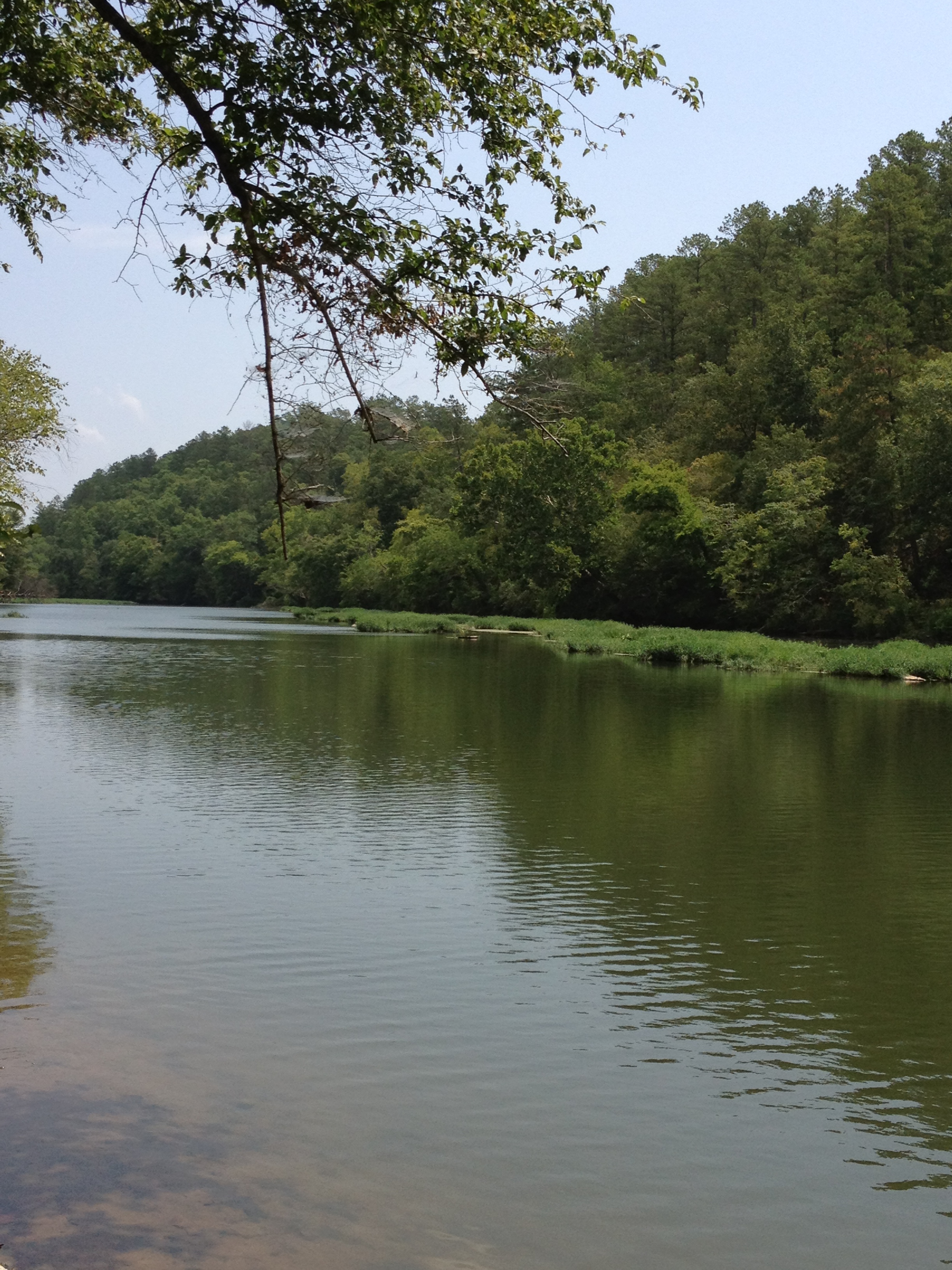
Cahaba River near Halfmile Shoals, Bibb County, AL

December 22, 2013
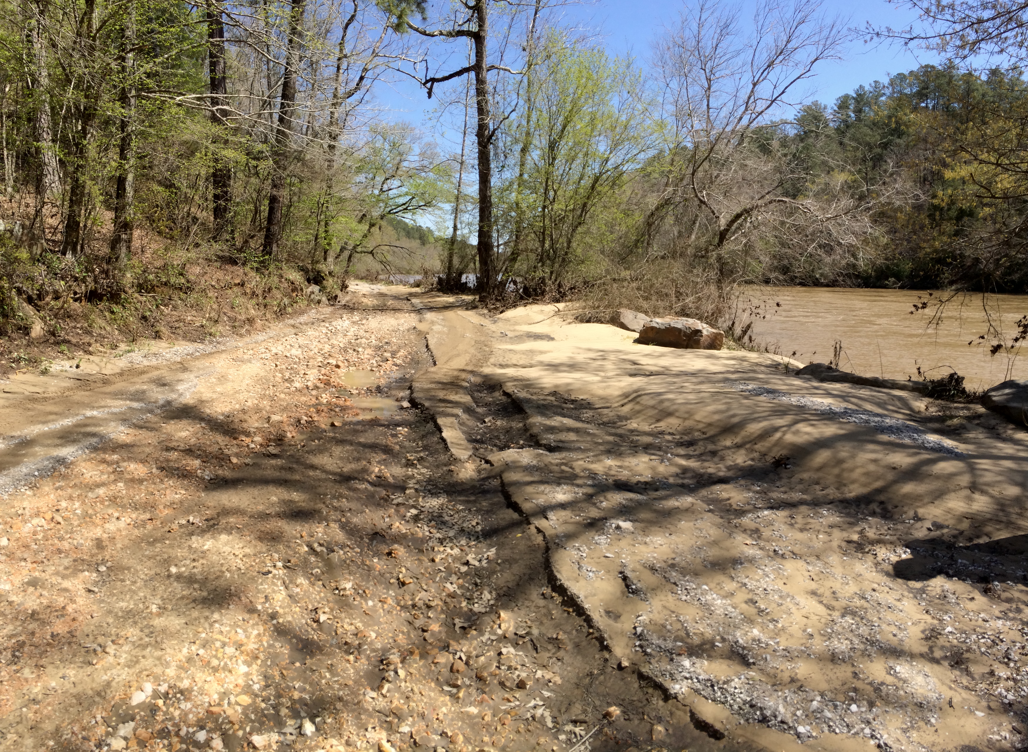
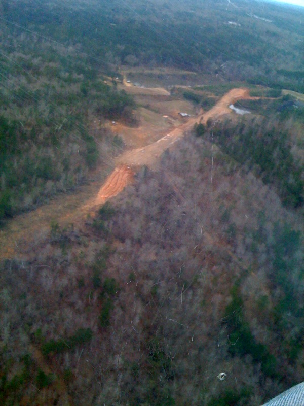
Cahaba River Road erosion
Cahaba River National Wildlife Refuge
Cahaba River National Wildlife Refuge - 2

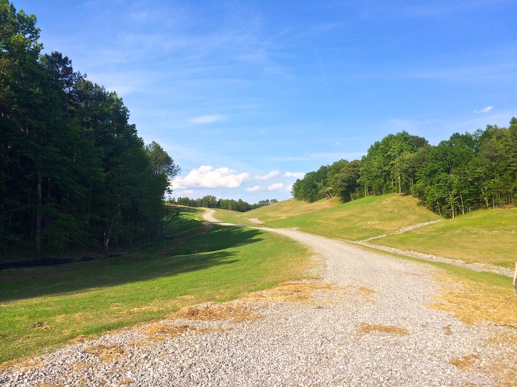
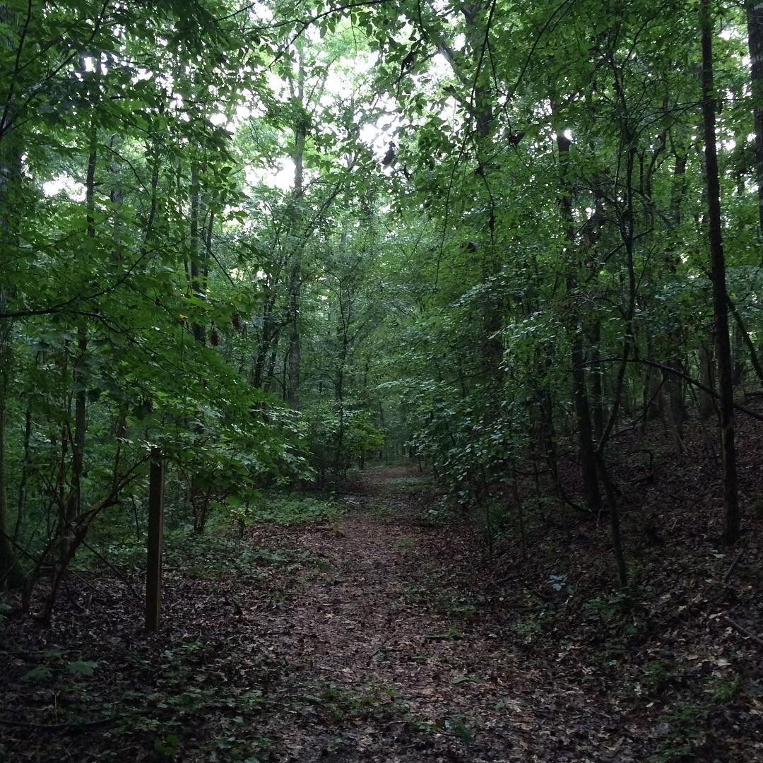
MBUSI Off Road Track
Living Rivers: A Retreat on the Cahaba
Had to take off somewhere...
Piper II high-wall mine reclamation
Cahaba River National Wildlife Refuge - 1
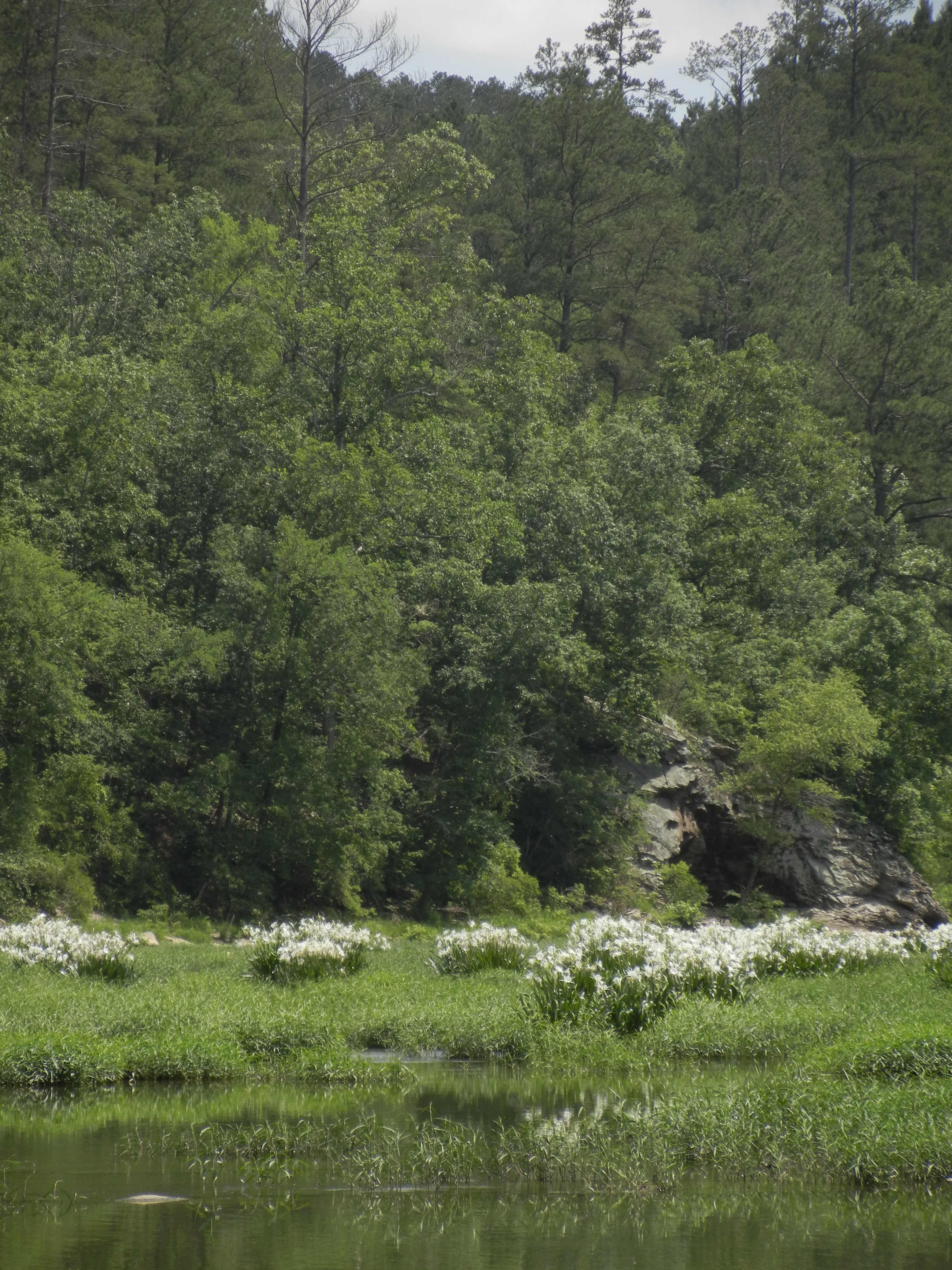
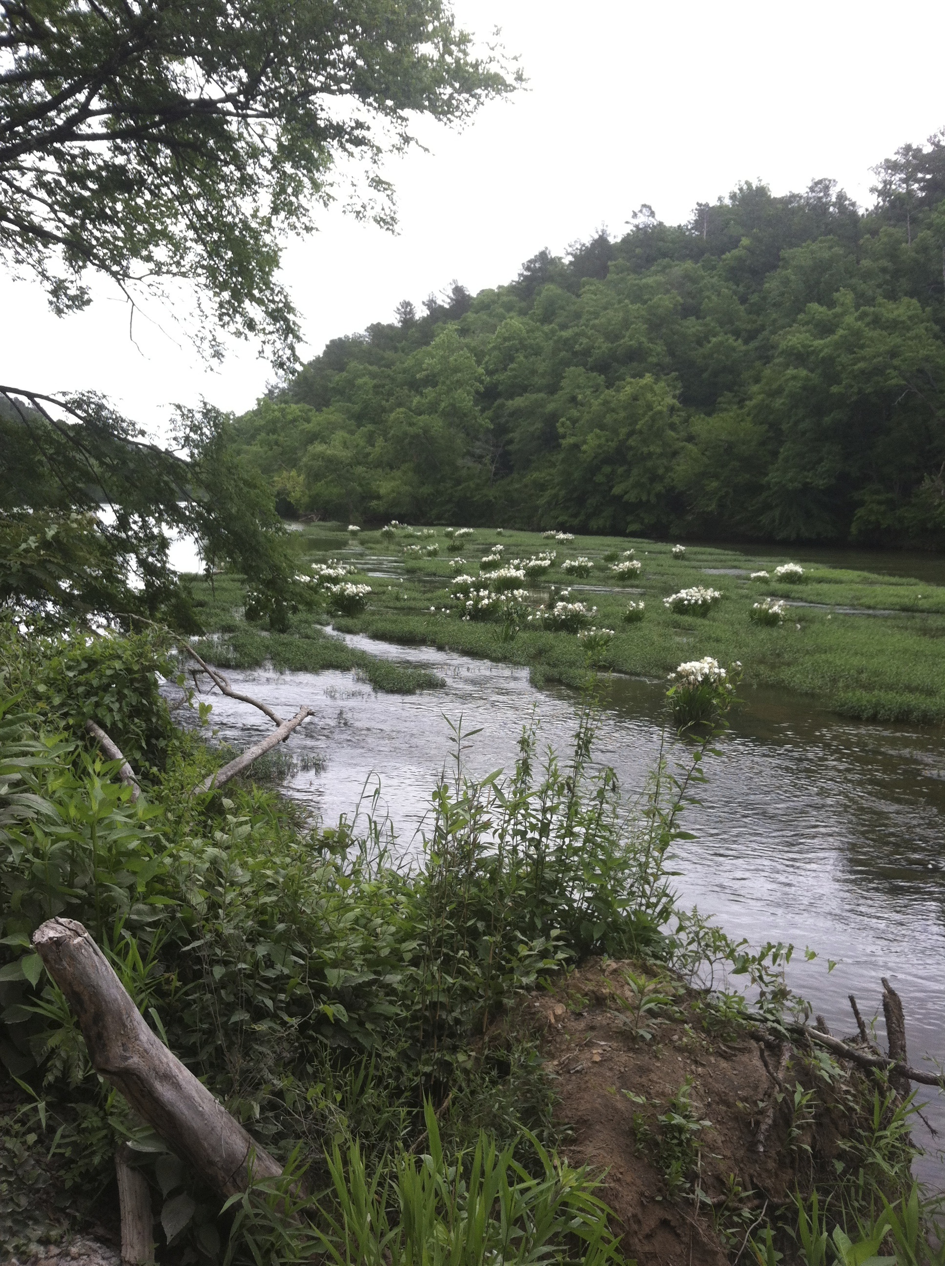
Lilies at Cahaba
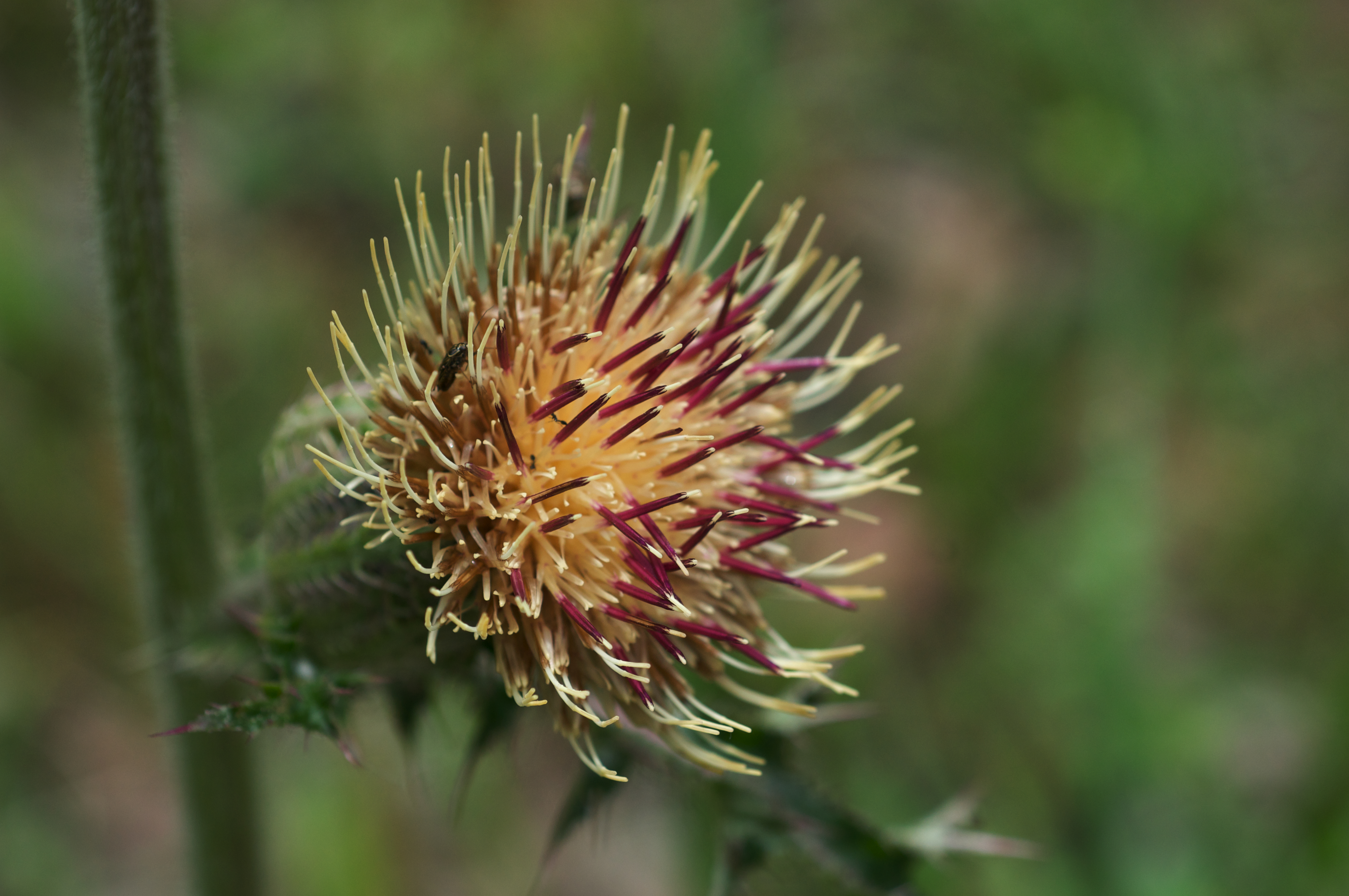
Cirsium horridulum var. horridulum
the love and hard work the #LivingRiverRetreat folks are giving to preserve this area is definitely evident and deeply appreciated. we thoroughly enjoyed the short and sweet hike on #RailroadTrail along with the plant and tree ID education we soaked up al
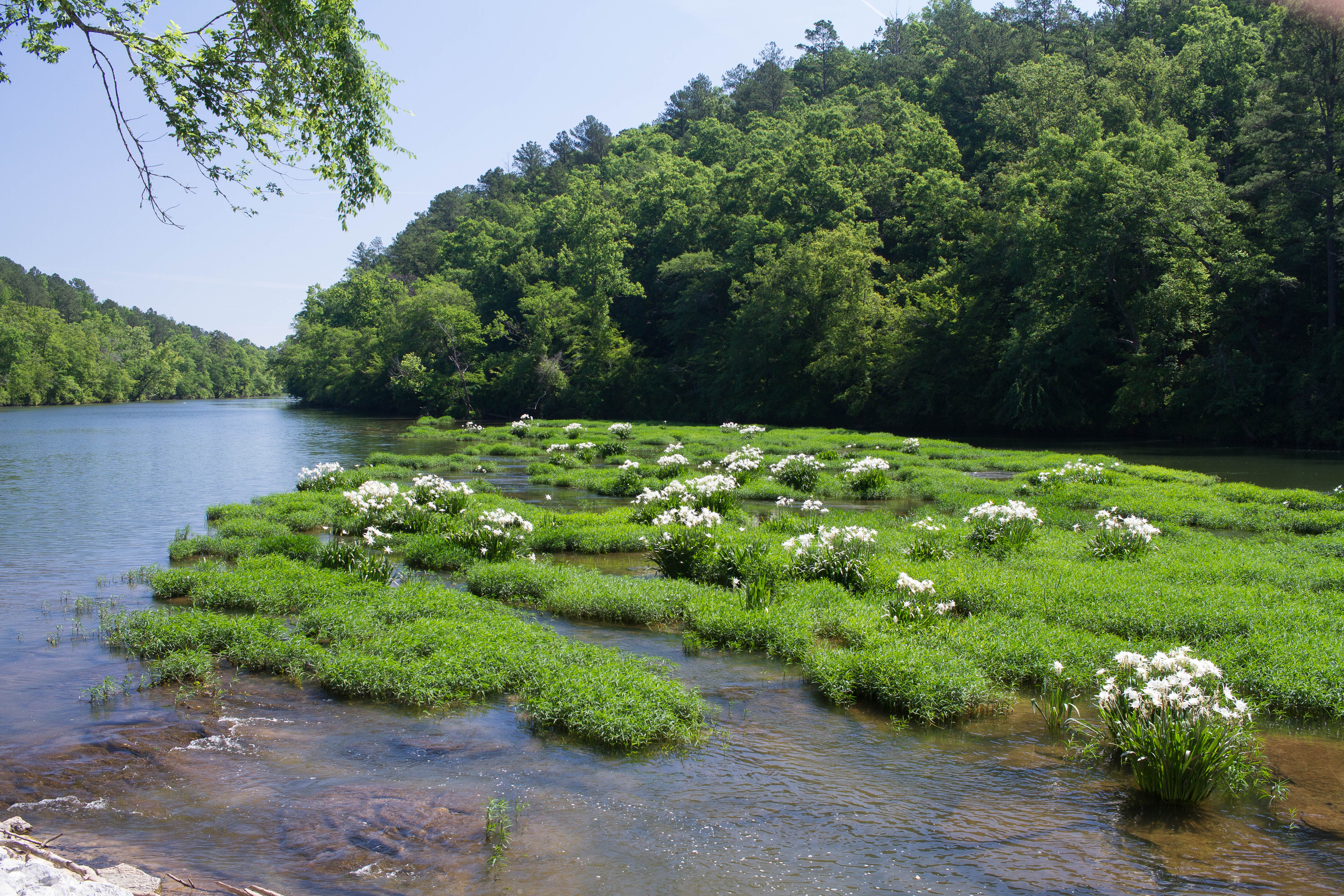
Cahaba River Lillies
Topographic Map of Primitive Ridge Rd, West Blocton, AL, USA
Find elevation by address:

Places near Primitive Ridge Rd, West Blocton, AL, USA:
West Blocton
Old Hwy 5, West Blocton, AL, USA
Smith Hill Rd, West Blocton, AL, USA
Co Rd 21, West Blocton, AL, USA
Bishop Ridge Rd, West Blocton, AL, USA
Woodstock
Woodstock Estates, Woodstock, AL, USA
AL-5, Woodstock, AL, USA
Bishop Ridge, West Blocton, AL, USA
Co Rd 47, Centreville, AL, USA
Cathedral Ln, McCalla, AL, USA
Bibb County
US-11, McCalla, AL, USA
Centreville
90 Shelby County Rd, Montevallo, AL, USA
Mc Calla
Brent
12764 Oak Forest Dr
Belcher Dr, Lake View, AL, USA
Lake View
Recent Searches:
- Elevation of Corso Fratelli Cairoli, 35, Macerata MC, Italy
- Elevation of Tallevast Rd, Sarasota, FL, USA
- Elevation of 4th St E, Sonoma, CA, USA
- Elevation of Black Hollow Rd, Pennsdale, PA, USA
- Elevation of Oakland Ave, Williamsport, PA, USA
- Elevation of Pedrógão Grande, Portugal
- Elevation of Klee Dr, Martinsburg, WV, USA
- Elevation of Via Roma, Pieranica CR, Italy
- Elevation of Tavkvetili Mountain, Georgia
- Elevation of Hartfords Bluff Cir, Mt Pleasant, SC, USA