Elevation of 90 Shelby County Rd, Montevallo, AL, USA
Location: United States > Alabama > Shelby County > Montevallo >
Longitude: -86.986953
Latitude: 33.178151
Elevation: 138m / 453feet
Barometric Pressure: 100KPa
Elevation Map:
Satellite Map:
Related Photos:

Better Days

lady view
Forest Sunset

The Long Flight Home Alt View

girls view

Anatomy of a Dark Machine

16mm-Zenitar

Buddy - Modified
Post Storm Experiment
Blood-wet Womb / Nearing the End

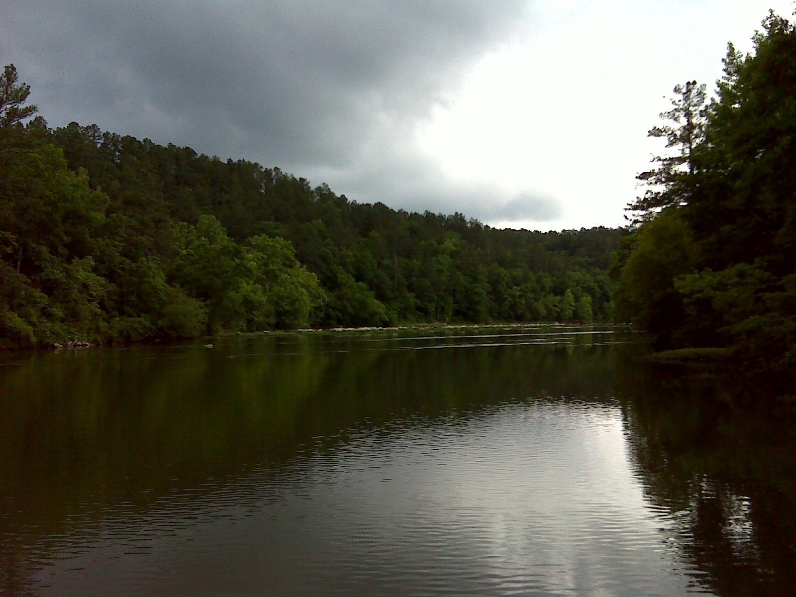
Cahaba River near Halfmile Shoals, Bibb County, AL

Upper Harrowing-on-the-Void

Red Rose/Red Filter

Tiny Flower of the Ground Ivy Plant

Day of the Dead Setup

Pond - The Fish 1 to 1 crop

Tower minifig POV

GRAPHIC NOVEL DISPLAY (back corner view)

Luna Moth

GRAPHIC NOVEL DISPLAY (front table corner view)
View from the Bench

Presidents House Univ of Montevallo
Grist Mill Dam - Tannehill Ironworks Historical State Park

The October Daisies Have Returned
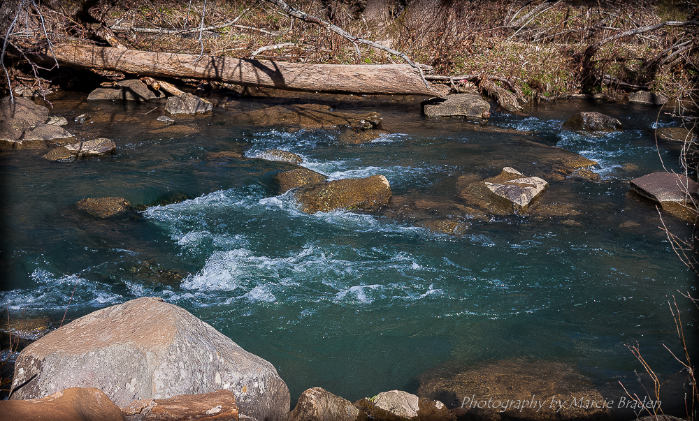
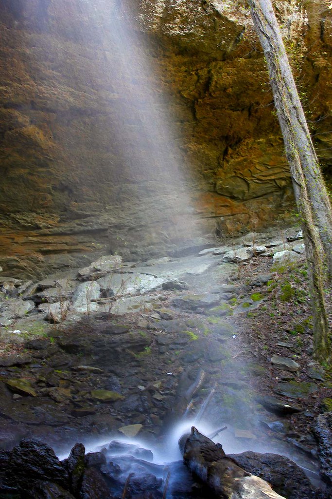
Wet Rocks
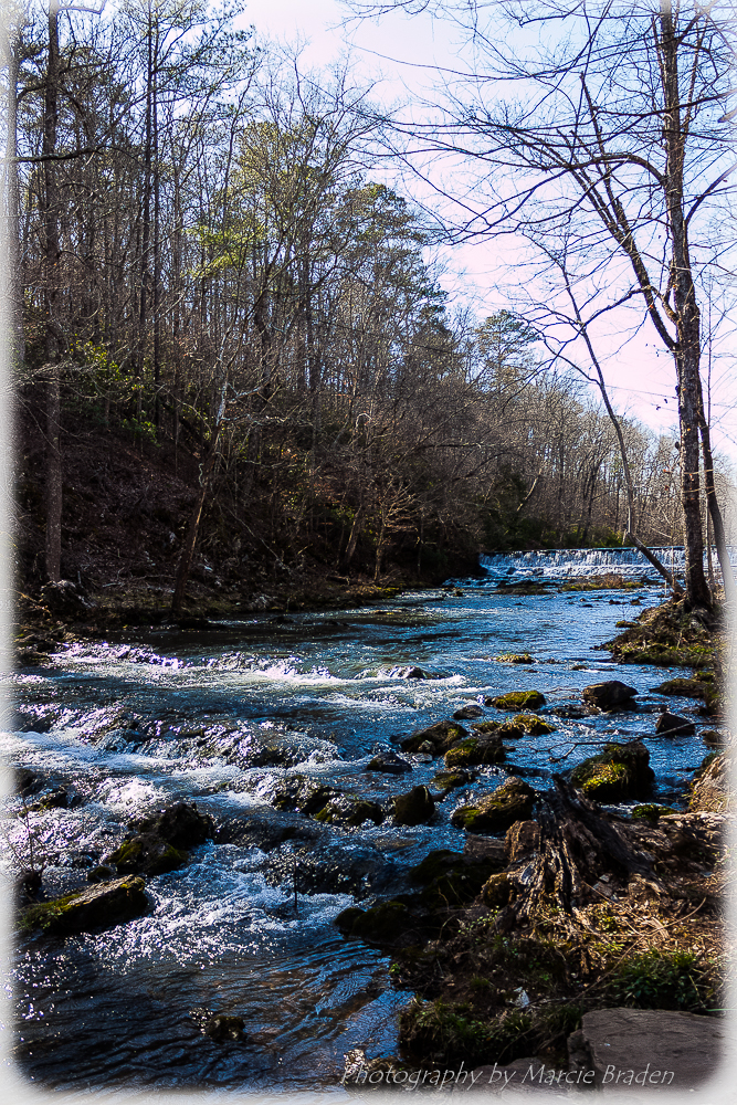
Roupes Creek - Tannehill Ironworks Historical State Park
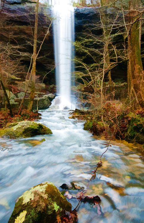
High Rock Falls - Topazed
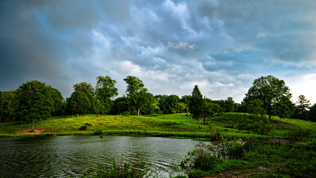
Farmers Pond Helena, Alabama
Wet Filter
Cahaba River National Wildlife Refuge - 2
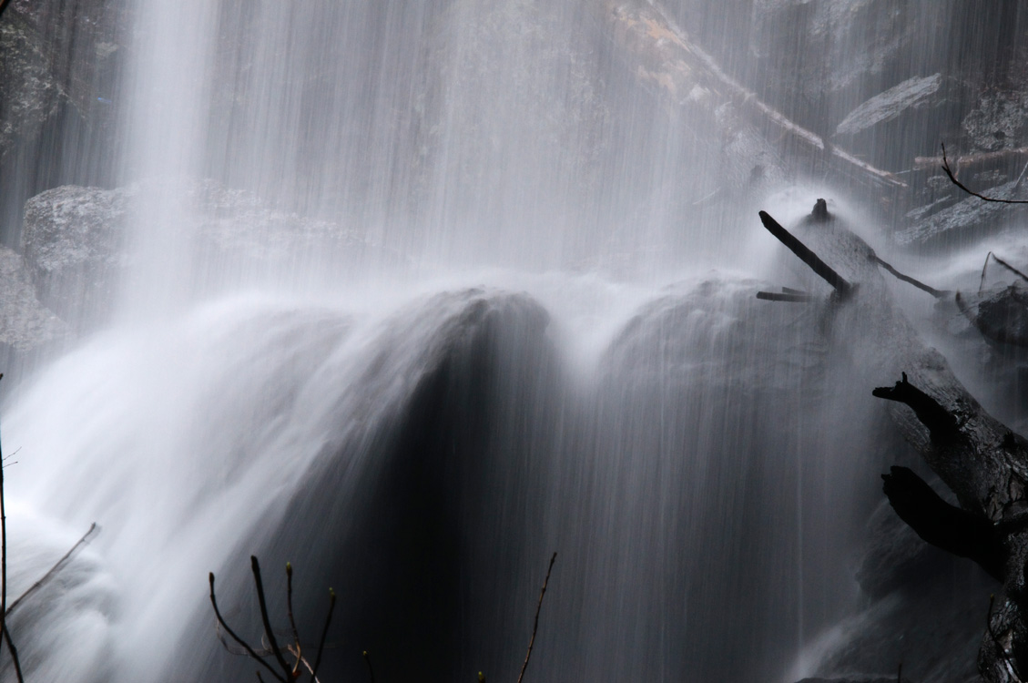
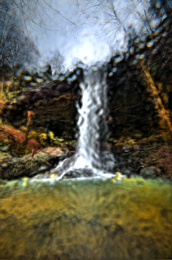
Falling Rock Falls
Tannehill State Park
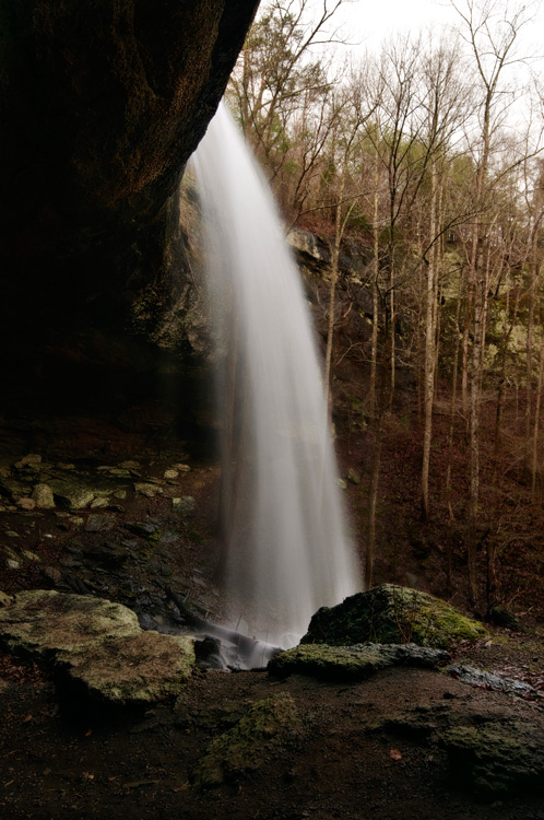
Falling Rock Falls
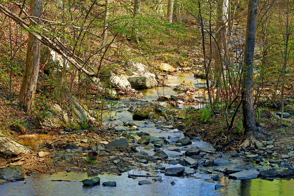
Eddings Creek
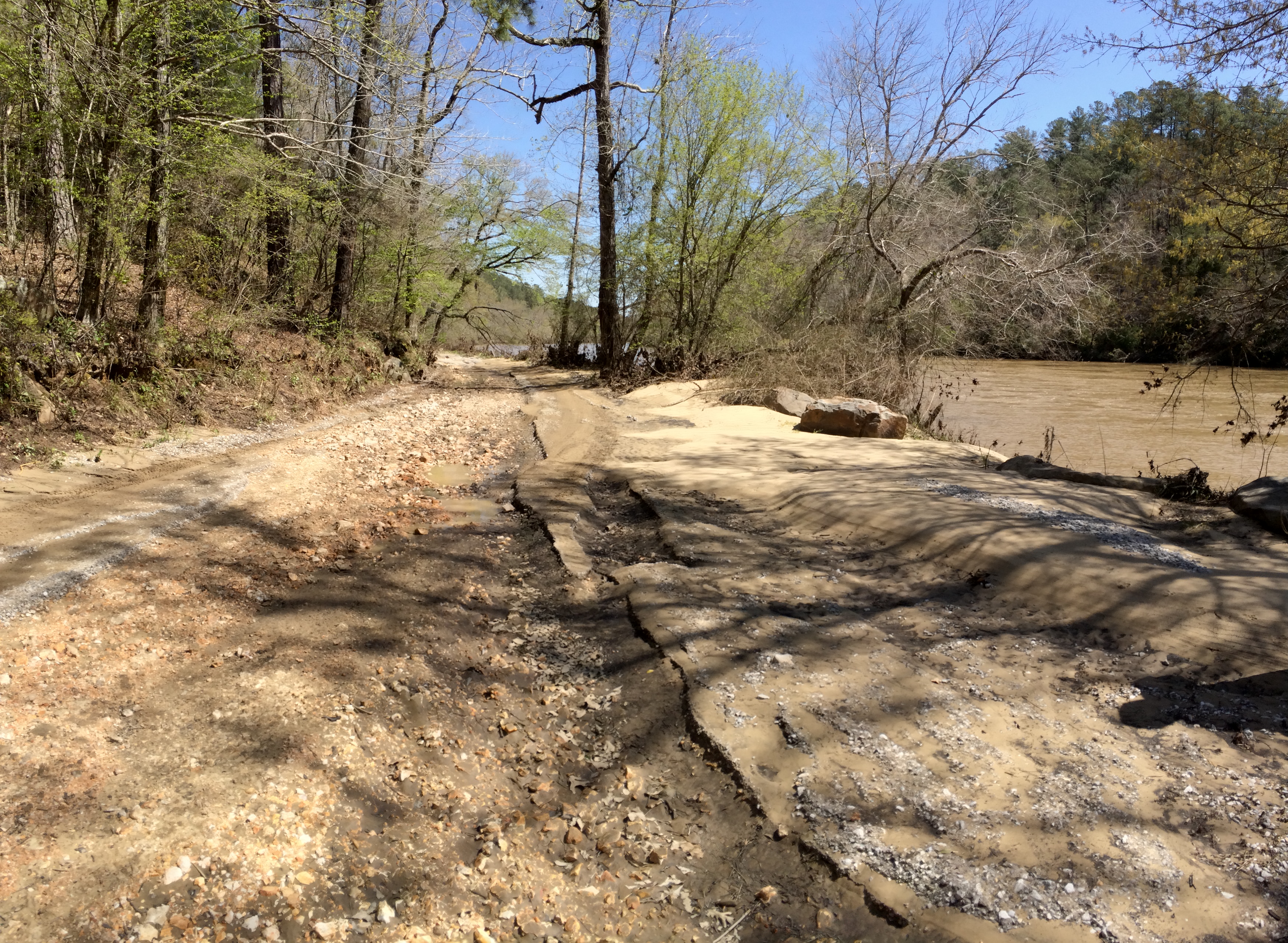
Cahaba River Road erosion
Cahaba River National Wildlife Refuge
Falling Rock Falls
Living Rivers: A Retreat on the Cahaba
Had to take off somewhere...
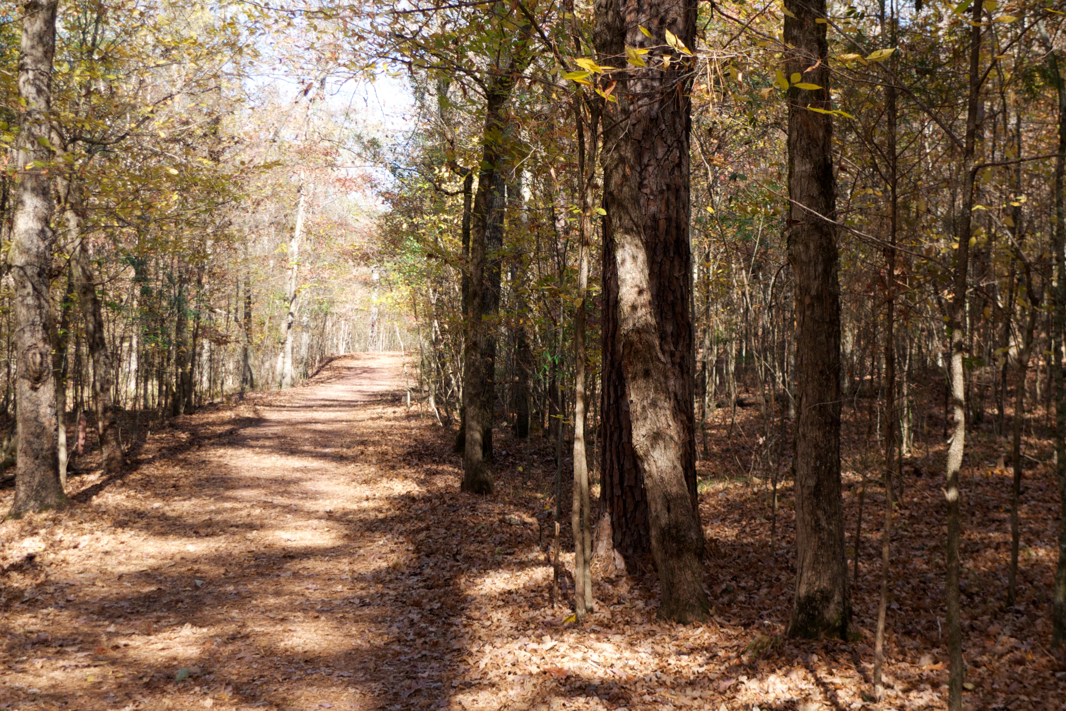
Montevallo, Al
Topographic Map of 90 Shelby County Rd, Montevallo, AL, USA
Find elevation by address:

Places near 90 Shelby County Rd, Montevallo, AL, USA:
Redbird Rd, Birmingham, AL, USA
Bishop Ridge Rd, West Blocton, AL, USA
Bishop Ridge, West Blocton, AL, USA
8486 Shoreside Ln
2057 Long Leaf Lake Dr
Co Rd 21, West Blocton, AL, USA
Co Rd 93, Helena, AL, USA
Camelia Ln, Maylene, AL, USA
311 Quail Ridge Ct
Bice Cir, Montevallo, AL, USA
1759 Garden Trail
Mc Calla
Canoles Dr, Bessemer, AL, USA
Chestnut Ln, Helena, AL, USA
Kimbrell Cutoff Rd, McCalla, AL, USA
Maylene
Smith Hill Rd, West Blocton, AL, USA
Co Rd 91, Helena, AL, USA
Lindsey Drive
Lindsey Drive
Recent Searches:
- Elevation of Corso Fratelli Cairoli, 35, Macerata MC, Italy
- Elevation of Tallevast Rd, Sarasota, FL, USA
- Elevation of 4th St E, Sonoma, CA, USA
- Elevation of Black Hollow Rd, Pennsdale, PA, USA
- Elevation of Oakland Ave, Williamsport, PA, USA
- Elevation of Pedrógão Grande, Portugal
- Elevation of Klee Dr, Martinsburg, WV, USA
- Elevation of Via Roma, Pieranica CR, Italy
- Elevation of Tavkvetili Mountain, Georgia
- Elevation of Hartfords Bluff Cir, Mt Pleasant, SC, USA