Elevation of Lindsey Drive, Lindsey Dr, Bessemer, AL, USA
Location: United States > Alabama > Jefferson County > Bessemer >

Longitude: -86.954447

Latitude: 33.306937

Elevation: 153m / 502feet

Barometric Pressure: 99KPa

Elevation Map:

elevation map of Lindsey Drive, Lindsey Dr, Bessemer, AL, USA

Satellite Map:

Satellite map of Lindsey Drive, Lindsey Dr, Bessemer, AL, USA

Related Photos:

wood texture wagon log sundown shingles alabama shed tannehillstatepark skeletalmess nwbama steveminor
Better Days
equirectangular
Post Storm Experiment
diesel crescent southern locomotive sr sou emd eunit aunit sixaxle cabunit coveredwagone8e8atraintrainstrain enginerailroadrailwaybessemeralabamasouthern
SOU 6902 & 4 more
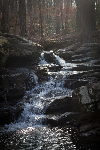
water creek waterfall rocks streem hooveralabama mossrockpreserve
Moss Rock Waterfall
16mm zenitar russianlens
16mm-Zenitar
alabama birmingham
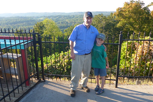
Me and Jacob on Shades Crest
miriamgrace miriamgracegunnells gunnells newborn infant baby cute cuddly sleeping asleep dad daddy hospital shelbybaptistmedicalcenter david daddysgirl passedout dreaming
mother's view
alabama birmingham
Me and Jacob on Shades Crest
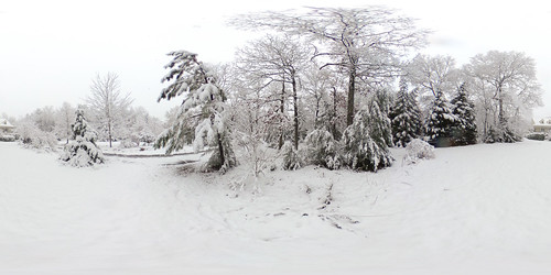
equirectangular
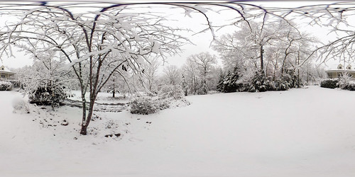
Another view of our Dec 8 snowfall
fish pond coy
Pond - The Fish 1 to 1 crop
sun venus venustransit
Venus Transit
younglove megan cameron mossrockpreserve janicewagnon jwagnonphotography heritage2011
Man Woman Wild
scenicviews stateofalabama alabasteralabama shelbycountyalabama oldbostonroad rolla049 alabamaalabaster navajohillsneighborhood formatfilm35mmnegative alabamacountyshelby cameracanonae1program2067283 year1982pictures
Scenic View / P1982-1225a049-31
equirectangular
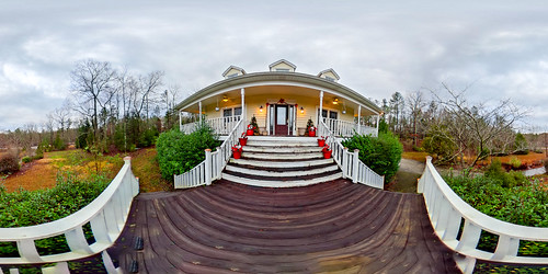
House after storm
equirectangular
House after storm
alabama birmingham
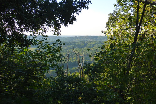
View from Shades Crest
trees lake nature
Lunch Time View
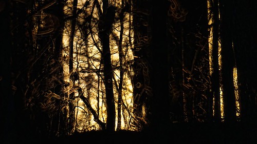
sunset forest woods 500mm topaz delos adjust d300
Forest Sunset
Chase Lake
fish pond coy
Pond - Aerial View 02
lake creek dam alabama helena bhamref 1915 davidson wading 2010 buckcreek shelbycounty oldtownhelena buckcreekpark lakedavidson jul2010
Davidson Dam
landscape sunset clouds colors trees nature canon usa
Sunset Saga!
skiescloudsadfimagesflyingatmosphere
In the air.
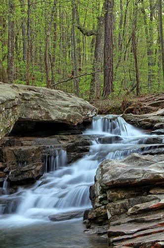
waterfall alabama hoover explored mossrock
Moss Rock Waterfall
longexposure rock waterfall al birmingham stream rapids boulders hoover preserve hdr mossrock mossrockpreserve easyhdr
Moss Rock Preserve
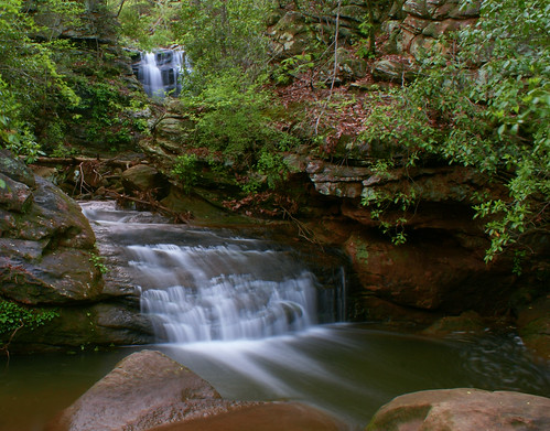
longexposure trees water waterfall rocks alabama hoover hooveralabama mossrockpreserve citrit
High Falls at Moss Rock
longexposure water creek waterfall al birmingham rocks stream alabama hike preserve mossrock mossrockpreserve
Moss Rock Preserve
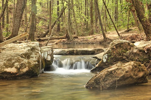
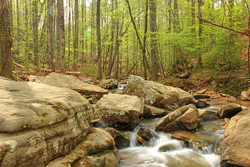
longexposure trees rock spring al birmingham stream rapids boulders hoover preserve mossrock mossrockpreserve
Moss Rock Preserve
longexposure trees rock spring al birmingham stream rapids boulders hoover preserve mossrock mossrockpreserve
Moss Rock Preserve
equirectangular
Front Garden and House
rock waterfall al birmingham stream rapids boulders hoover preserve hdr mossrock mossrockpreserve easyhdr
Moss Rock Preserve
longexposure water creek waterfall al birmingham rocks stream alabama hike preserve mossrock mossrockpreserve
Moss Rock Preserve
red mountain abandoned facade birmingham 10 urbandecay alabama mineshaft redding redmountain urbanexploring 1880 urbex no10 miningcamp wenonah ishkooda
Redding Mine - Wenonah
red mountain abandoned facade birmingham 10 urbandecay alabama mineshaft redding redmountain urbanexploring 1880 urbex no10 miningcamp wenonah ishkooda
Redding Mine - Wenonah
longexposure trees rock spring al birmingham stream rapids boulders hoover preserve mossrock mossrockpreserve
Moss Rock Preserve
Grist Mill Dam - Tannehill Ironworks Historical State Park
storm field pond day alabama helena farmer topaz delos adjust d300 spicify
Farmers Pond Helena, Alabama
alabama waterfalls tunnelfalls mossrock
Moss Rock Preserve
equirectangular
Driveway and House R0010256