Elevation of Lindsey Drive, Lindsey Dr, Bessemer, AL, USA
Location: United States > Alabama > Jefferson County > Bessemer >
Longitude: -86.954447
Latitude: 33.306937
Elevation: 153m / 502feet
Barometric Pressure: 99KPa
Elevation Map:
Satellite Map:
Related Photos:

Better Days

Post Storm Experiment

SOU 6902 & 4 more

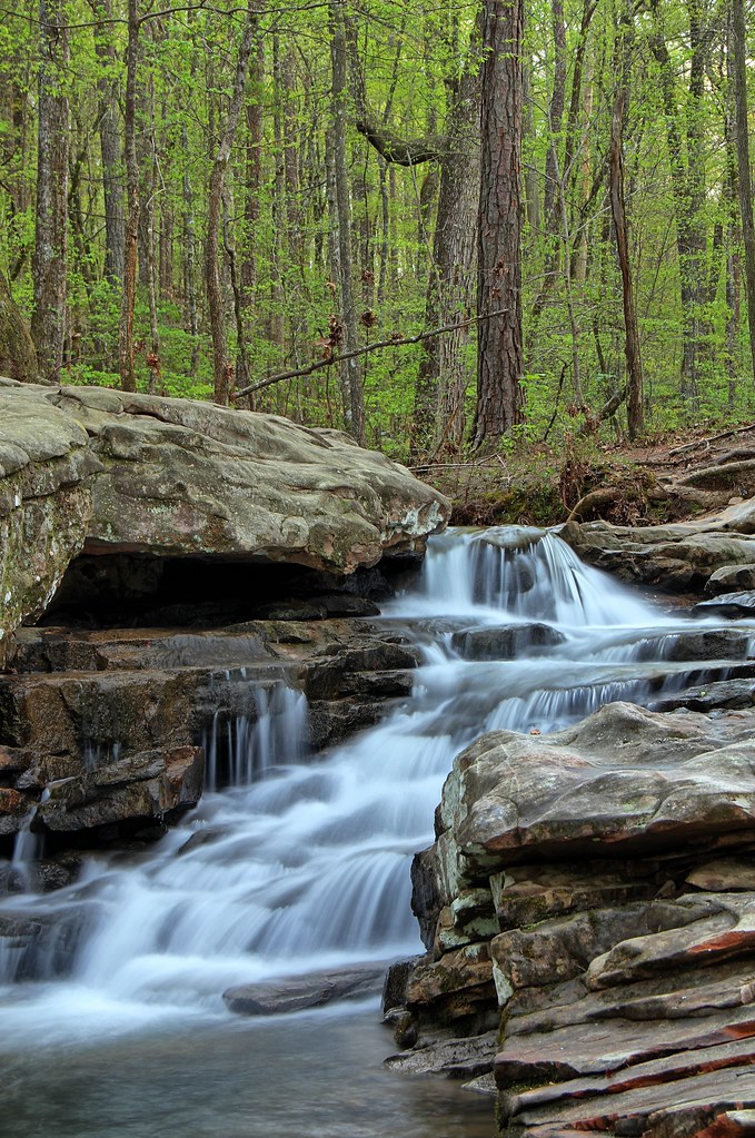
Moss Rock Waterfall

16mm-Zenitar

Me and Jacob on Shades Crest

mother's view

Me and Jacob on Shades Crest

Another view of our Dec 8 snowfall

Pond - The Fish 1 to 1 crop

Venus Transit

Man Woman Wild

Scenic View / P1982-1225a049-31

House after storm

House after storm
View from Shades Crest

Lunch Time View

Forest Sunset

Chase Lake

Pond - Aerial View 02
Davidson Dam

Sunset Saga!

In the air.

Moss Rock Waterfall

Moss Rock Preserve
High Falls at Moss Rock

Moss Rock Preserve
Moss Rock Preserve

Moss Rock Preserve

Front Garden and House

Moss Rock Preserve
Moss Rock Preserve

Redding Mine - Wenonah
Redding Mine - Wenonah

Moss Rock Preserve

Grist Mill Dam - Tannehill Ironworks Historical State Park

Farmers Pond Helena, Alabama

Moss Rock Preserve

Driveway and House R0010256
Topographic Map of Lindsey Drive, Lindsey Dr, Bessemer, AL, USA
Find elevation by address:

Places near Lindsey Drive, Lindsey Dr, Bessemer, AL, USA:
Lindsey Drive
Lindsey Drive
7030 Dickey Springs Rd
2057 Long Leaf Lake Dr
Canoles Dr, Bessemer, AL, USA
Pocahontas Rd, Bessemer, AL, USA
8486 Shoreside Ln
Co Rd 93, Helena, AL, USA
Chestnut Ln, Helena, AL, USA
1731 Oak Park Ln
311 Quail Ridge Ct
5212 Meadow Ridge Trail
Morgan Rd, Bessemer, AL, USA
Karen St, Bessemer, AL, USA
Bell Hill Rd, Bessemer, AL, USA
5970 Greenwood Pkwy
Potter Rd, Bessemer, AL, USA
2085 Russet Woods Trail
McCalla Rd, Bessemer, AL, USA
3657 Pine Ln
Recent Searches:
- Elevation of Corso Fratelli Cairoli, 35, Macerata MC, Italy
- Elevation of Tallevast Rd, Sarasota, FL, USA
- Elevation of 4th St E, Sonoma, CA, USA
- Elevation of Black Hollow Rd, Pennsdale, PA, USA
- Elevation of Oakland Ave, Williamsport, PA, USA
- Elevation of Pedrógão Grande, Portugal
- Elevation of Klee Dr, Martinsburg, WV, USA
- Elevation of Via Roma, Pieranica CR, Italy
- Elevation of Tavkvetili Mountain, Georgia
- Elevation of Hartfords Bluff Cir, Mt Pleasant, SC, USA