Elevation of Prestonsburg, KY, USA
Location: United States > Kentucky > Floyd County >
Longitude: -82.771548
Latitude: 37.6656527
Elevation: 192m / 630feet
Barometric Pressure: 99KPa
Elevation Map:
Satellite Map:
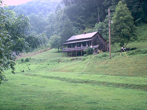
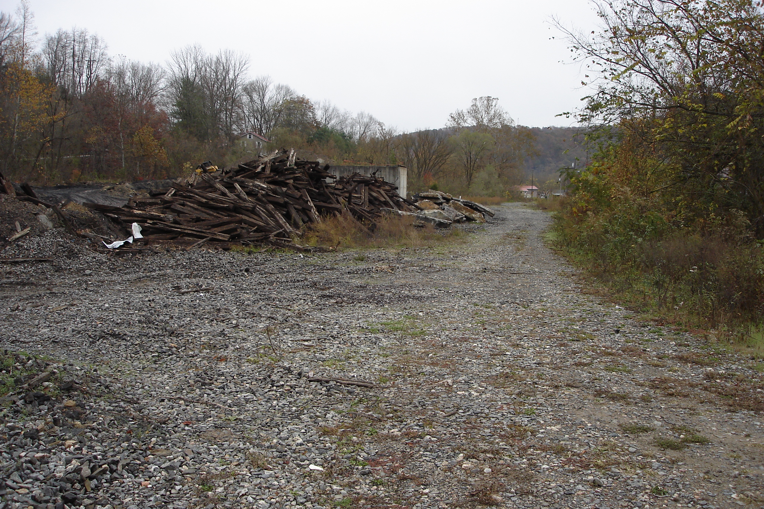
Related Photos:
IMG_9591_2_3_tonemapped_2-Edit.jpg

IMG_1477_8_9_tonemapped-Edit.jpg

Fall at Dewey Lake

Bald Cypresses
an inside job

_DSC3337.jpg

Sunday Morning Coal Train
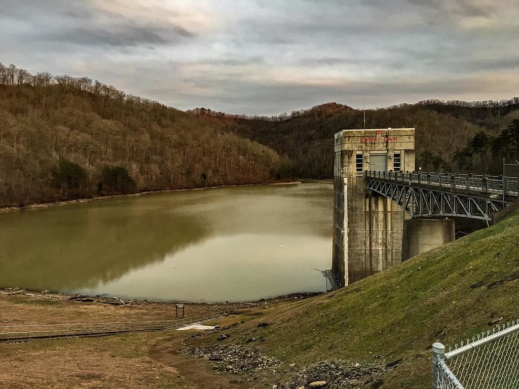
Dewey Dam

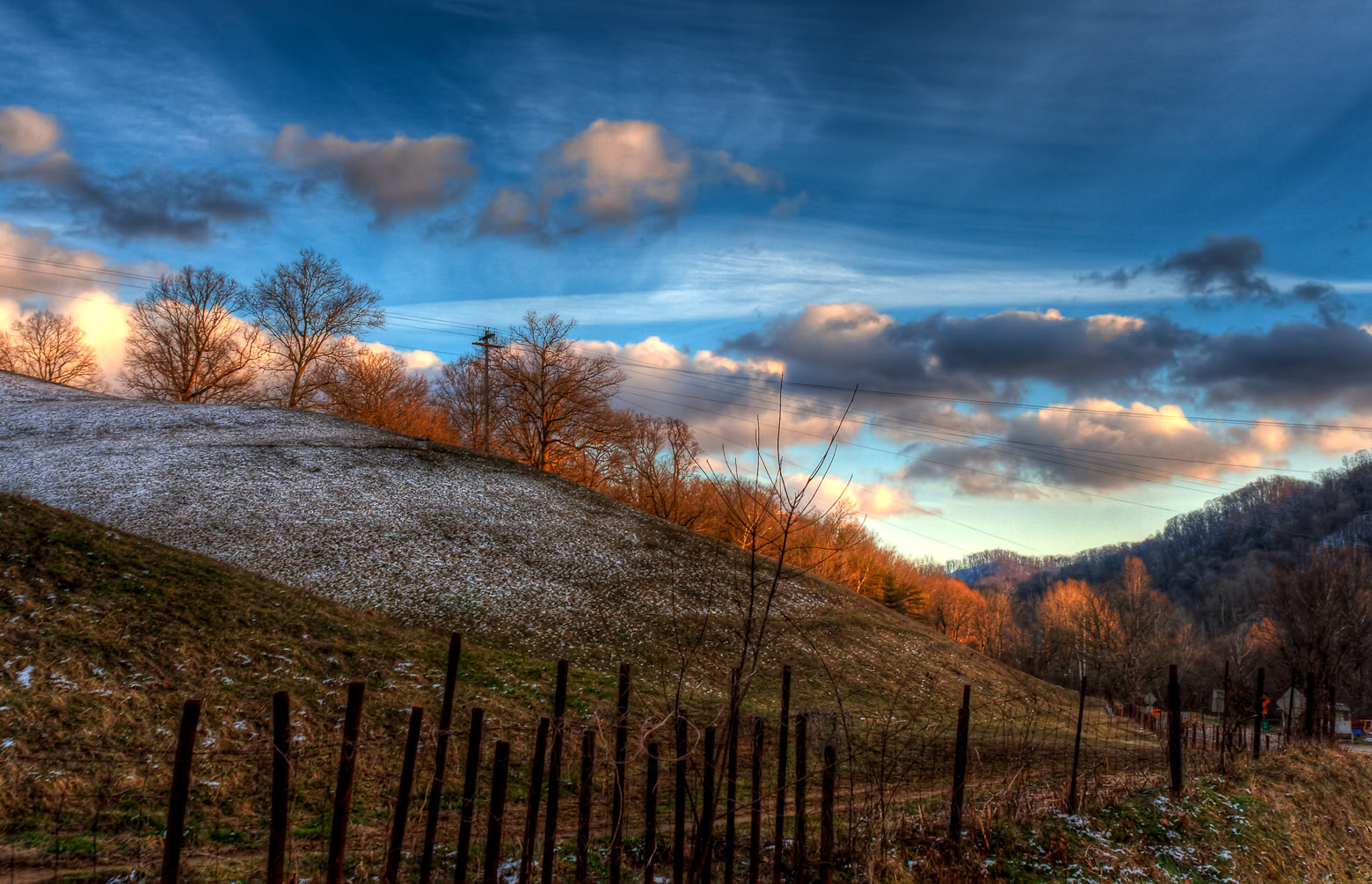
Mountain Sunrise
010-b

Marina 2
coal leaves

Bridge 547-09
Battle of Middle Creek
Youthworks 2005 065
Youthworks 2005 066

Cypress in Fall

_DSC4276.jpg

_DSC4010.jpg

_DSC3862.jpg
Loretta's Birthplace

Butcher Hollow
Dawkins Line MP 0.4 - Hagerhill - DSC00942
Topographic Map of Prestonsburg, KY, USA
Find elevation by address:

Places in Prestonsburg, KY, USA:
Kizer Rd, Prestonsburg, KY, USA
Old Middle Creek Rd, Prestonsburg, KY, USA
Jack Arnett Branch, Prestonsburg, KY, USA
S Lake Dr, Prestonsburg, KY, USA
32 R B Dr, Prestonsburg, KY, USA
Jenny Wiley State Park Road
Bridge
Places near Prestonsburg, KY, USA:
696 Mays Branch Rd
S Lake Dr, Prestonsburg, KY, USA
Kizer Rd, Prestonsburg, KY, USA
Jenny Wiley State Park Road
Allen-banner Road
Allen-banner Road
Allen City
Bridge
KY-, Allen City, KY, USA
Jack Arnett Branch, Prestonsburg, KY, USA
River Bottom Rd, Martin, KY, USA
Martin
Dinwood Rd, Martin, KY, USA
Caney Fork Rd, Martin, KY, USA
164 Cloverfield Branch
State Hwy, David, KY, USA
KY-, Martin, KY, USA
Webb Hollow Rd, Van Lear, KY, USA
Floyd County
US-23, Ivel, KY, USA
Recent Searches:
- Elevation of Corso Fratelli Cairoli, 35, Macerata MC, Italy
- Elevation of Tallevast Rd, Sarasota, FL, USA
- Elevation of 4th St E, Sonoma, CA, USA
- Elevation of Black Hollow Rd, Pennsdale, PA, USA
- Elevation of Oakland Ave, Williamsport, PA, USA
- Elevation of Pedrógão Grande, Portugal
- Elevation of Klee Dr, Martinsburg, WV, USA
- Elevation of Via Roma, Pieranica CR, Italy
- Elevation of Tavkvetili Mountain, Georgia
- Elevation of Hartfords Bluff Cir, Mt Pleasant, SC, USA