Elevation of Kizer Rd, Prestonsburg, KY, USA
Location: United States > Kentucky > Floyd County > Prestonsburg >
Longitude: -82.747816
Latitude: 37.6338442
Elevation: 202m / 663feet
Barometric Pressure: 99KPa
Elevation Map:
Satellite Map:
Related Photos:

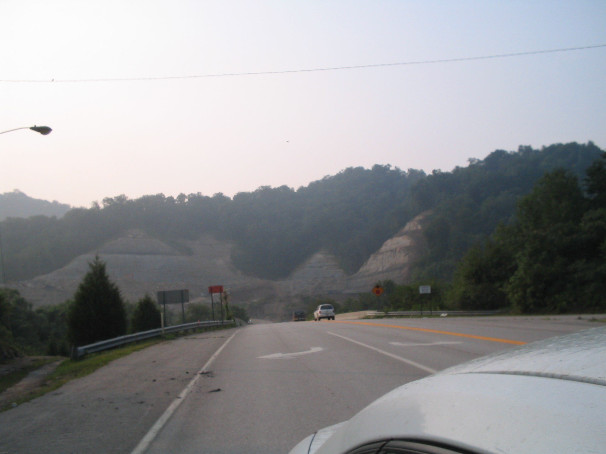
IMG_1477_8_9_tonemapped-Edit.jpg

IMG_9591_2_3_tonemapped_2-Edit.jpg

Fall at Dewey Lake
Youthworks 2005 066

Bald Cypresses

an inside job

_DSC3337.jpg

Sunday Morning Coal Train
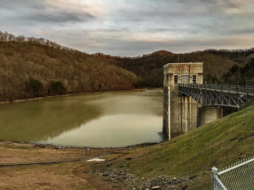
Dewey Dam

Mountain Sunrise
010-b

Marina 2

coal leaves

Bridge 547-09
Battle of Middle Creek
Youthworks 2005 065

Cypress in Fall
Topographic Map of Kizer Rd, Prestonsburg, KY, USA
Find elevation by address:

Places near Kizer Rd, Prestonsburg, KY, USA:
Allen-banner Road
Allen-banner Road
Allen City
S Lake Dr, Prestonsburg, KY, USA
KY-, Allen City, KY, USA
Prestonsburg
696 Mays Branch Rd
River Bottom Rd, Martin, KY, USA
Martin
Dinwood Rd, Martin, KY, USA
KY-, Martin, KY, USA
Jenny Wiley State Park Road
US-23, Ivel, KY, USA
Ivel
Floyd County
Bridge
Caney Fork Rd, Martin, KY, USA
Printer
164 Cloverfield Branch
German Bridge Campground
Recent Searches:
- Elevation of Corso Fratelli Cairoli, 35, Macerata MC, Italy
- Elevation of Tallevast Rd, Sarasota, FL, USA
- Elevation of 4th St E, Sonoma, CA, USA
- Elevation of Black Hollow Rd, Pennsdale, PA, USA
- Elevation of Oakland Ave, Williamsport, PA, USA
- Elevation of Pedrógão Grande, Portugal
- Elevation of Klee Dr, Martinsburg, WV, USA
- Elevation of Via Roma, Pieranica CR, Italy
- Elevation of Tavkvetili Mountain, Georgia
- Elevation of Hartfords Bluff Cir, Mt Pleasant, SC, USA