Elevation of Prairie St, Adair, IL, USA
Location: United States > Illinois > Mcdonough County > New Salem Township > Adair >
Longitude: -90.497338
Latitude: 40.4191103
Elevation: 197m / 646feet
Barometric Pressure: 99KPa
Elevation Map:
Satellite Map:
Related Photos:
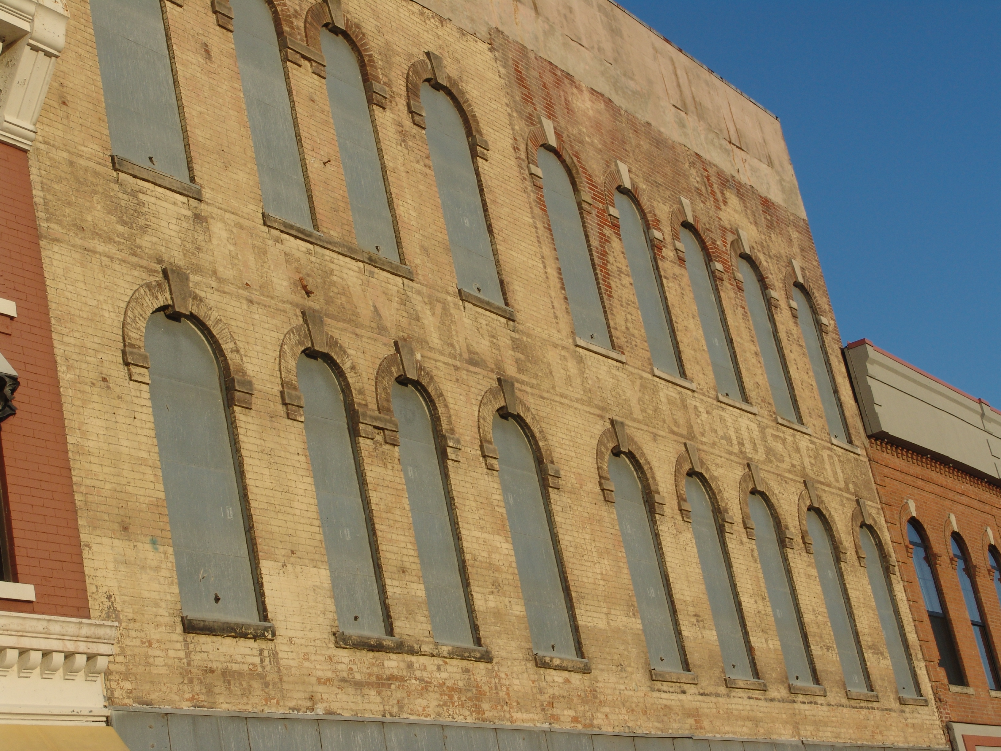
The Wyne Dry Goods Co., Macomb, IL

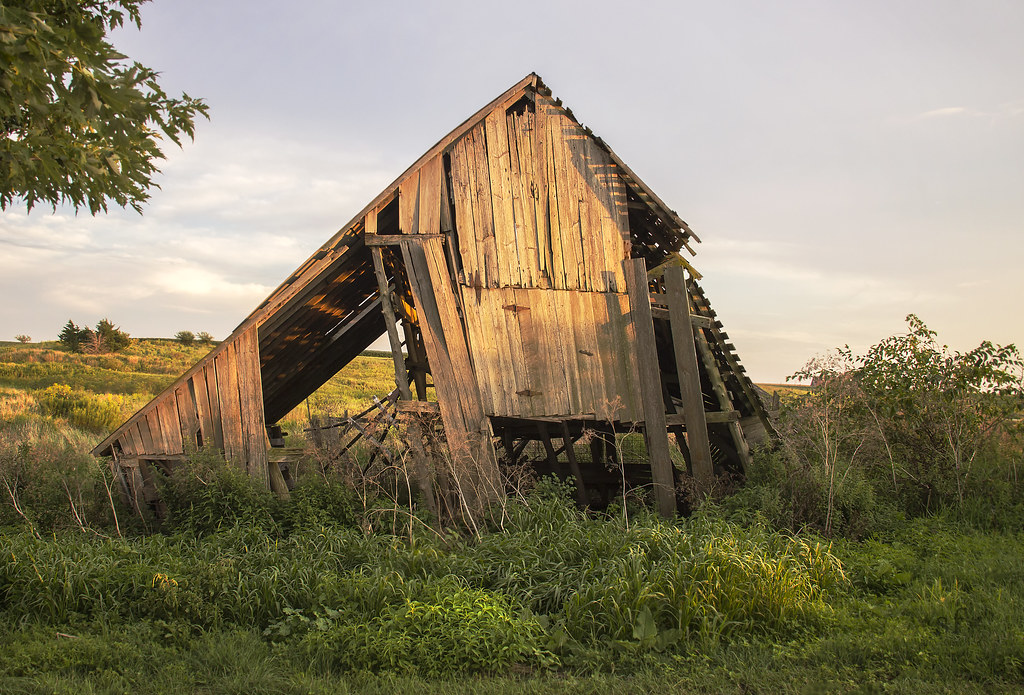
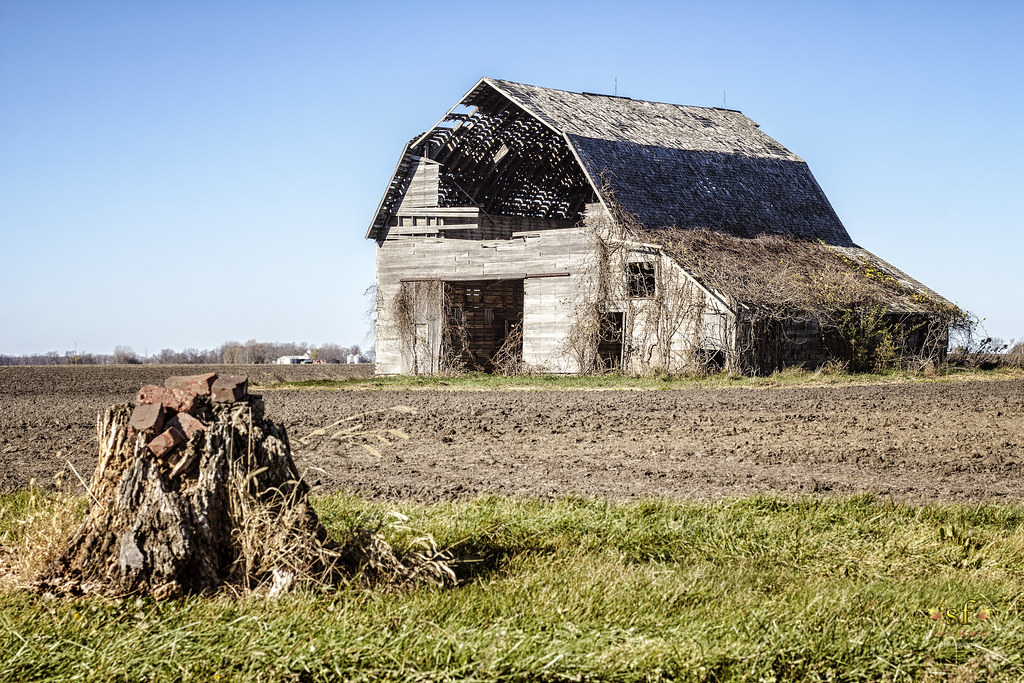
Weathering the Test of Time
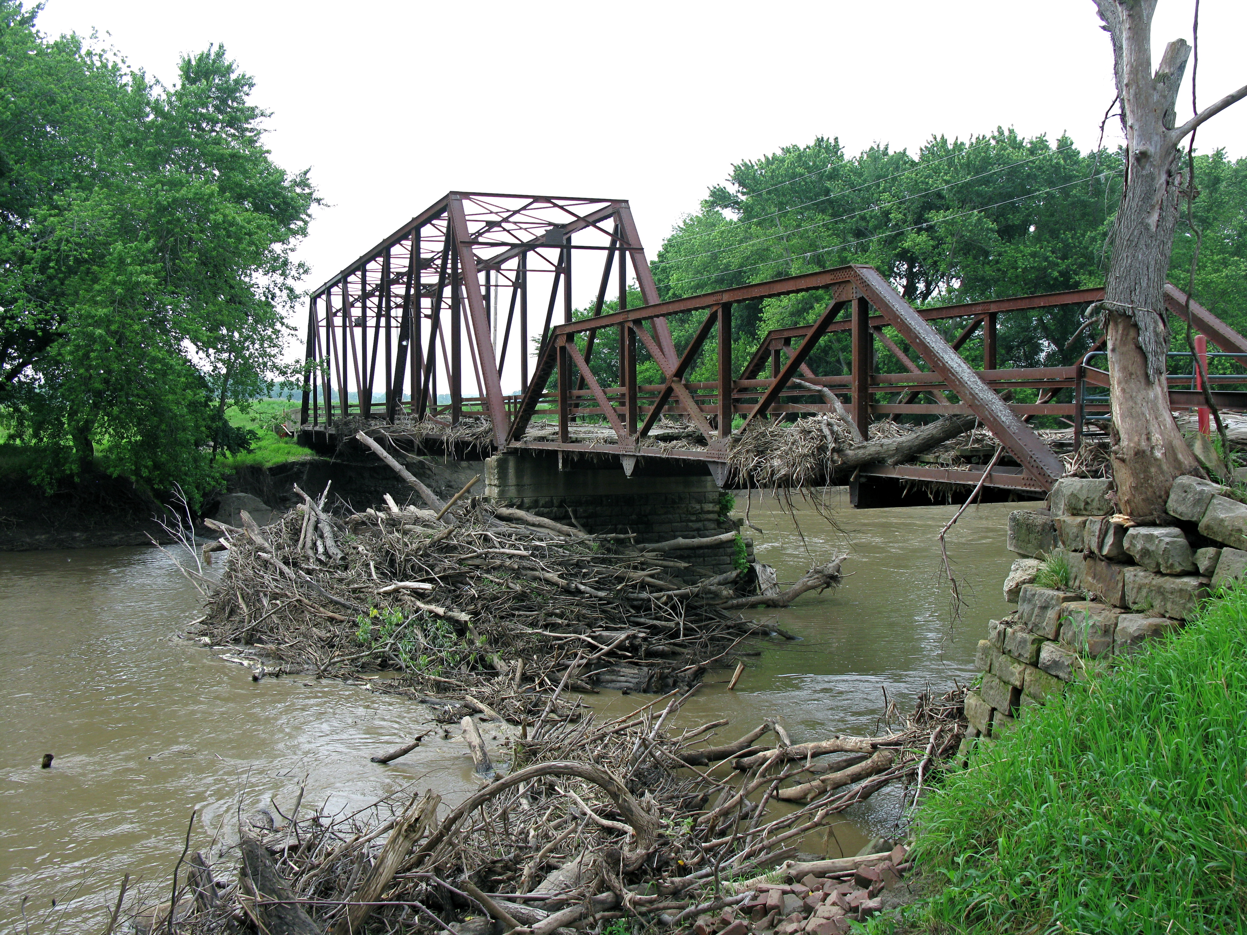
No Refuge from the Storms
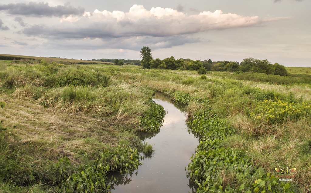
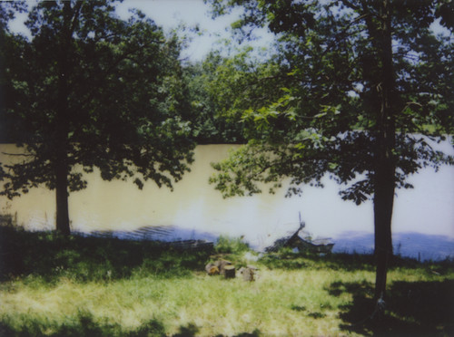
The Creek
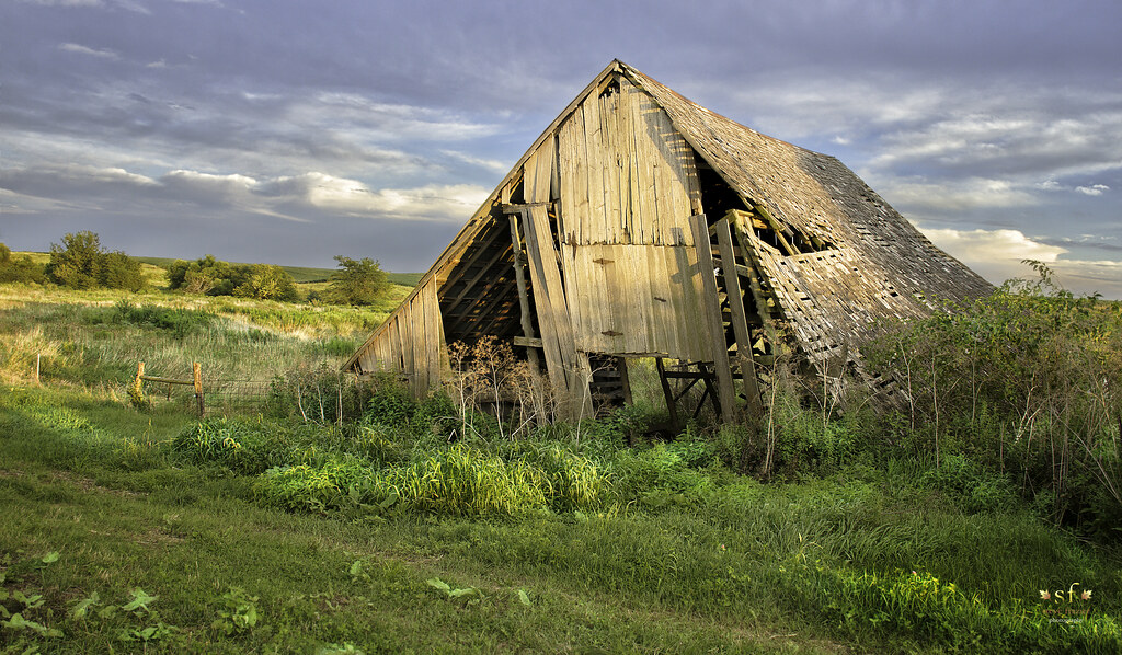
Fading From the Landscape
Bushnell Panorama

Macomb No. 3
Seville IL Spoon River Highway bridge viewed from the TP&W bridge
Ipava Graveyard
IMG_8029 The Old Bernadotte Bridge (1910). Roadway view.
IMG_8032 The Old Bernadotte Bridge (1910). View from the right bank.
our view
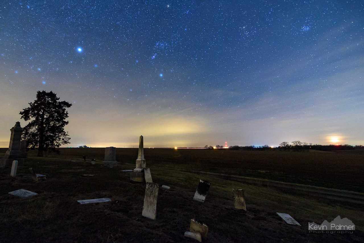
The Forgotten Dead

The Dead of Night

Action hero
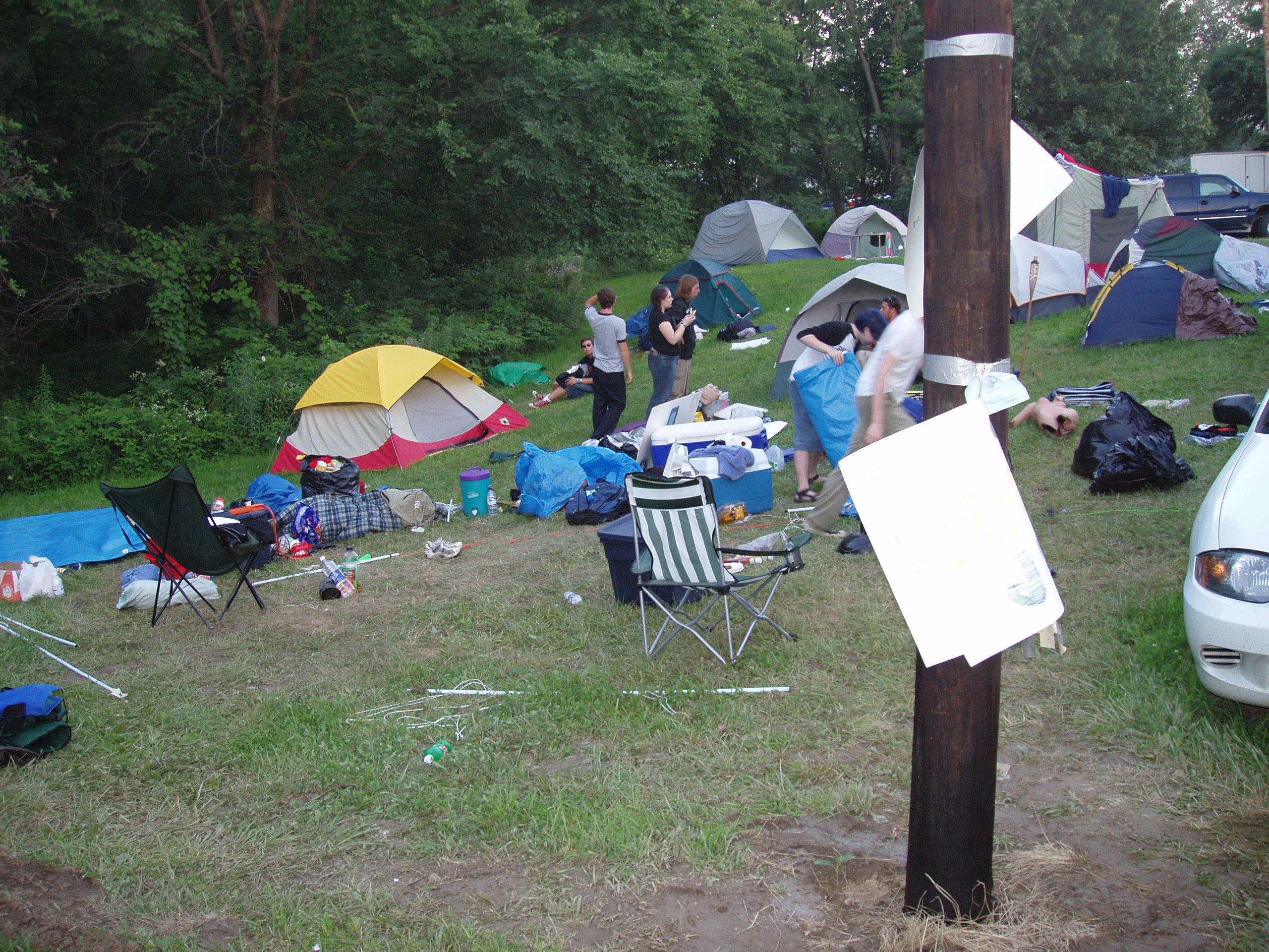
Tearing down Camp Frenzy
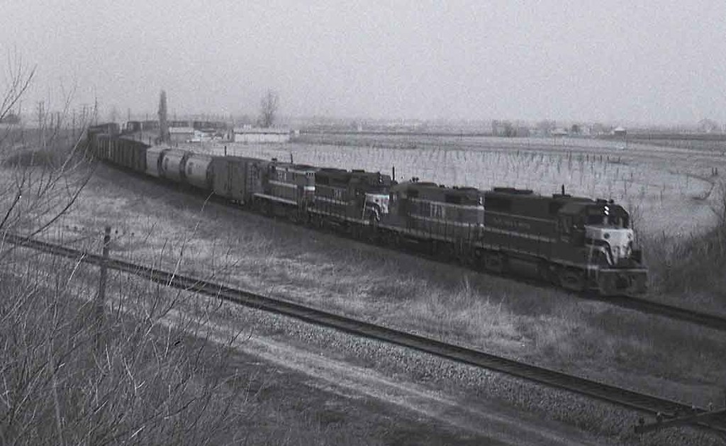
TP&W #902 Bushnell, Illinois 1971 #1
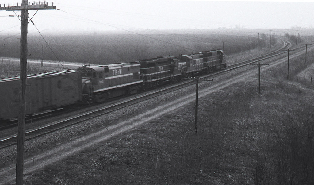
TP&W #902 Bushnell, Illinois 1971 #2
Ghosts on the Landscape

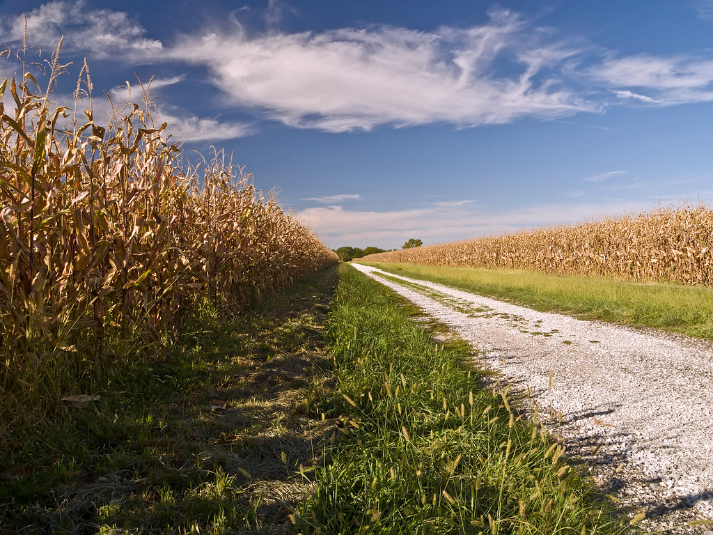
Farmlands Around Bernadotte
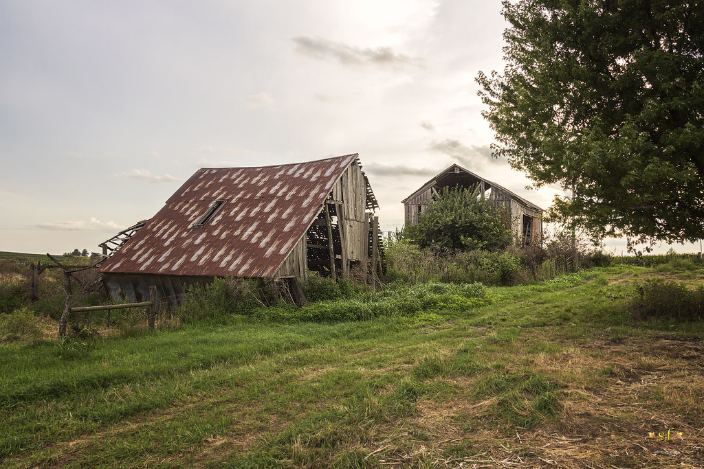
Old Weathered Barns
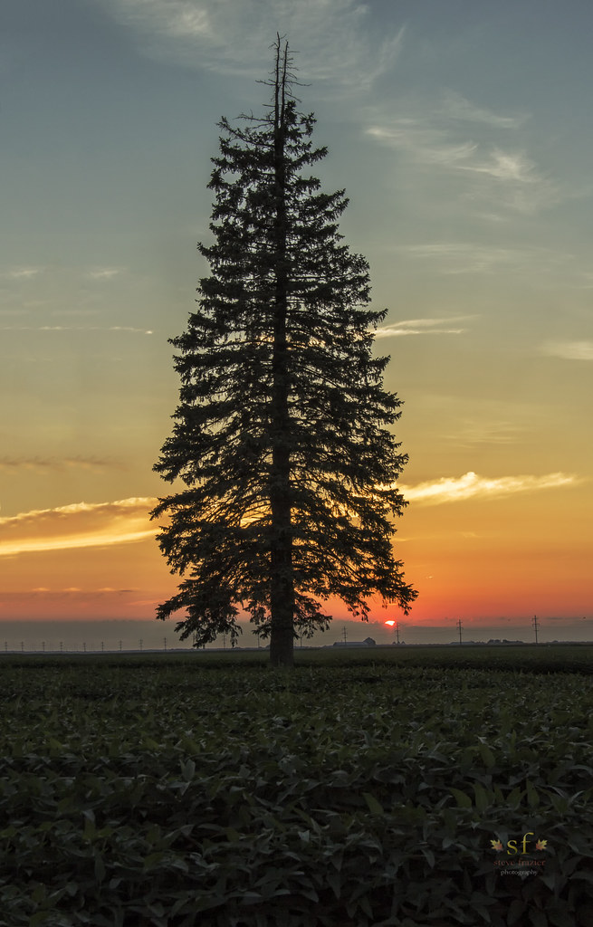
Lone Tree in the Field
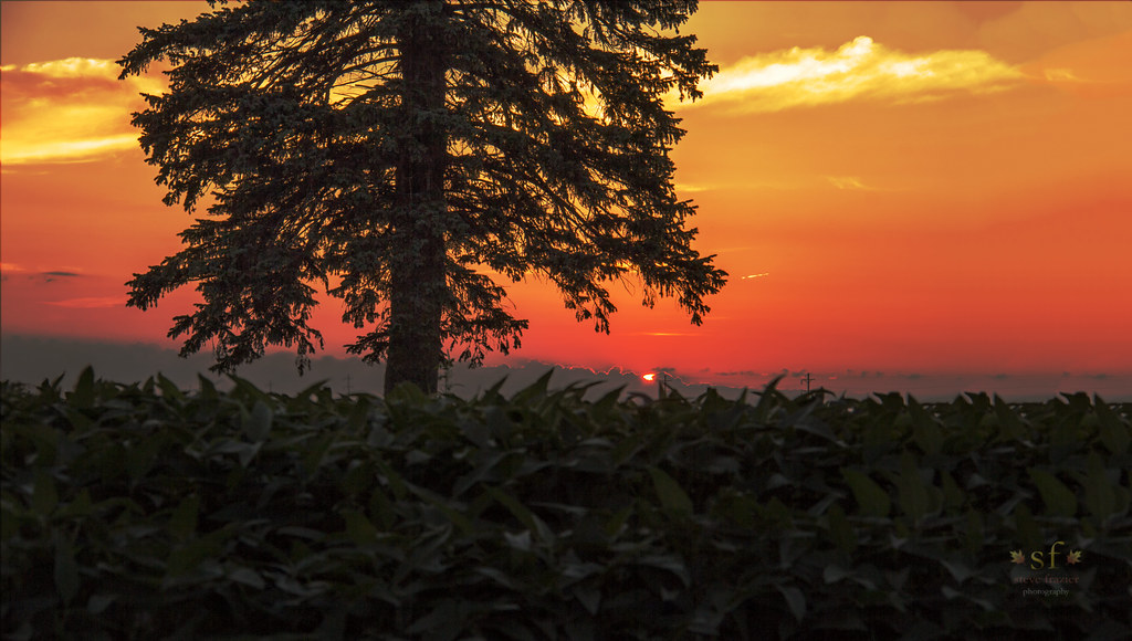
Just Enough Light
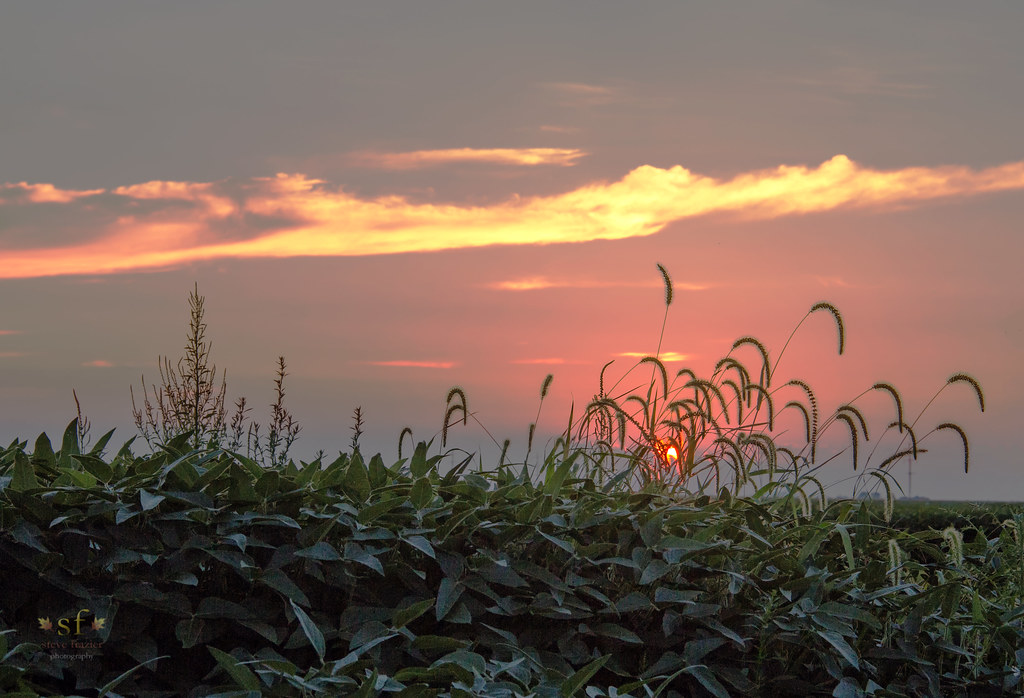
Somewhere... Out There

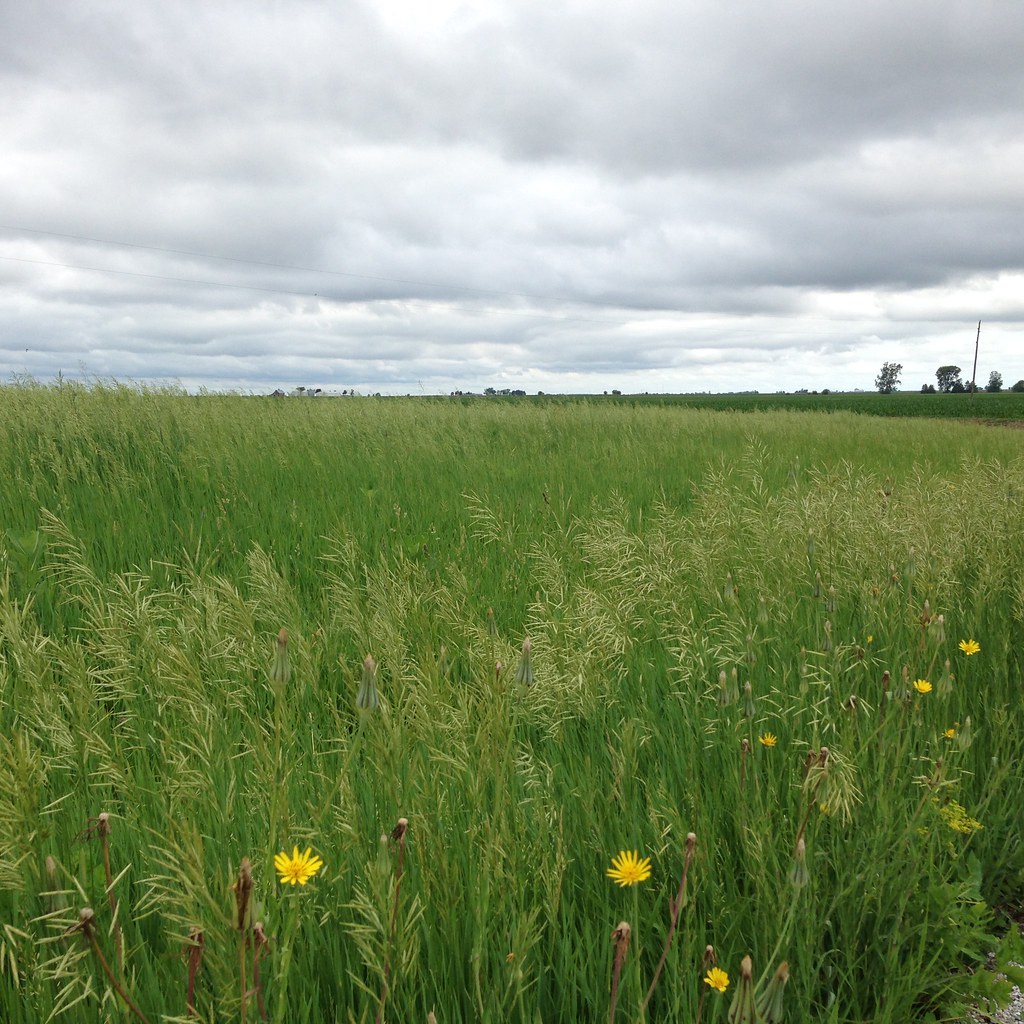
Wind through grass

Phase 1 - Mama Linda's
McDonough County, Illinois

McDonough County, Illinois
McDonough County, Illinois
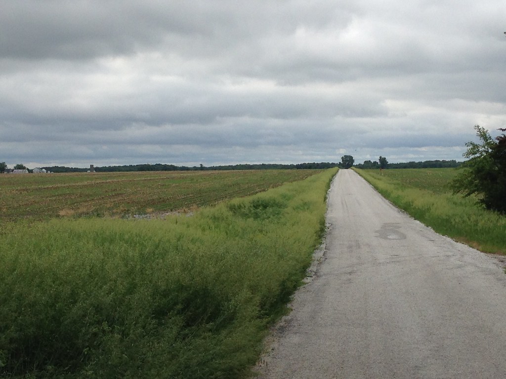
Corn Field Road (2007)
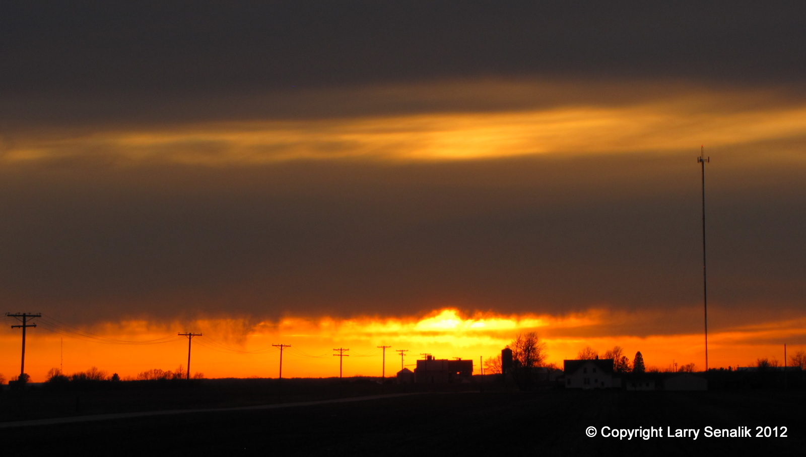
Sunset #1 - March 17, 2012

Landscape Version 1

Fuck baseball well little kids baseball
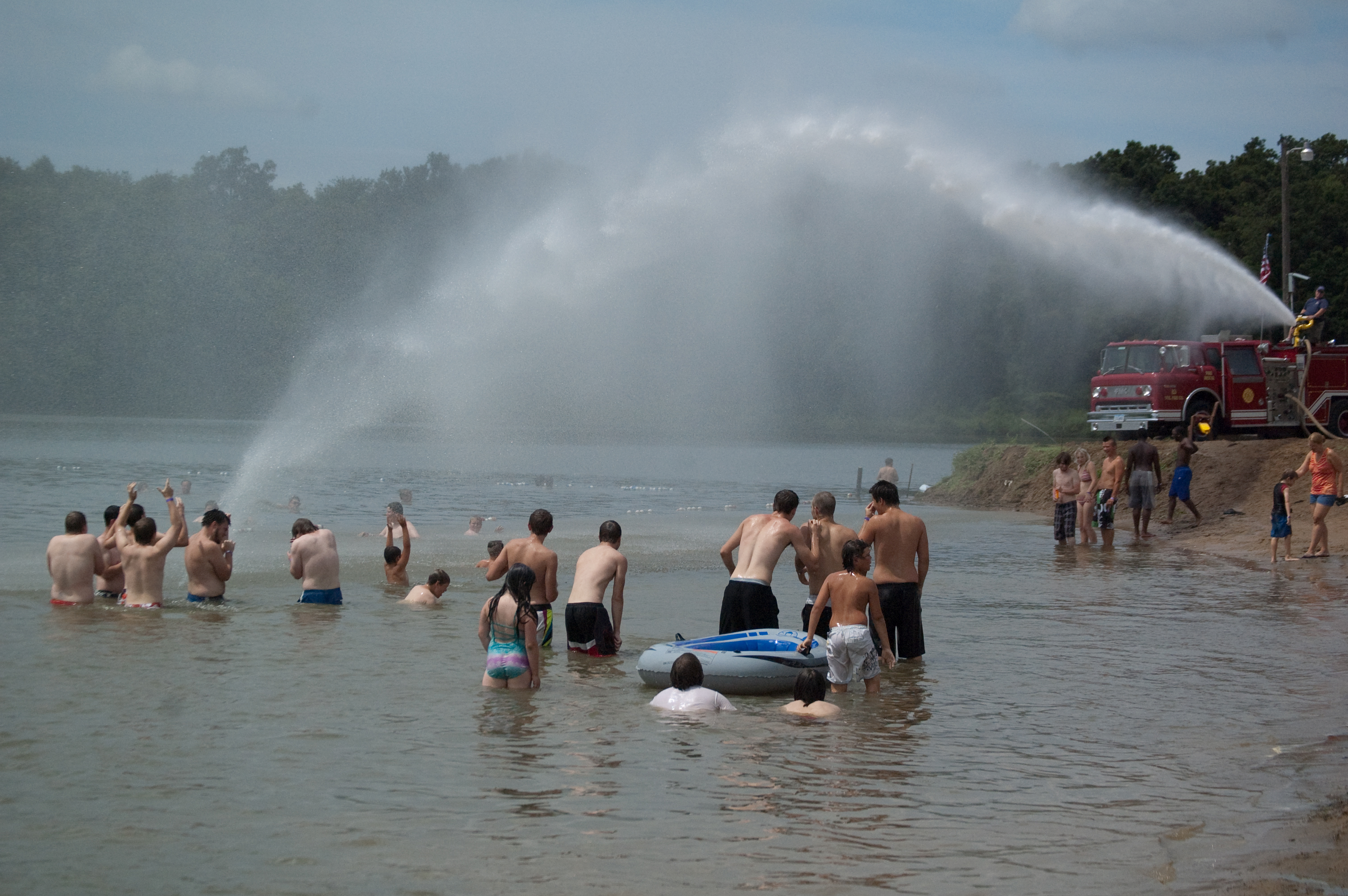
Firetruck Fun on the Beach

John Herrin

Festival Director
Topographic Map of Prairie St, Adair, IL, USA
Find elevation by address:

Places near Prairie St, Adair, IL, USA:
Adair
New Salem Township
East Bryan Road
Harris Township
Marietta
E Main St, Bushnell, IL, USA
Bushnell
707 N Washington St
Industry
E Main St, Industry, IL, USA
18005 Il-9
Bushnell Township
Industry Township
900 E Jefferson St
Macomb City Township
2 West Side Square
2 West Side Square
Macomb
Westen Investments
1406 N Randolph St
Recent Searches:
- Elevation of Corso Fratelli Cairoli, 35, Macerata MC, Italy
- Elevation of Tallevast Rd, Sarasota, FL, USA
- Elevation of 4th St E, Sonoma, CA, USA
- Elevation of Black Hollow Rd, Pennsdale, PA, USA
- Elevation of Oakland Ave, Williamsport, PA, USA
- Elevation of Pedrógão Grande, Portugal
- Elevation of Klee Dr, Martinsburg, WV, USA
- Elevation of Via Roma, Pieranica CR, Italy
- Elevation of Tavkvetili Mountain, Georgia
- Elevation of Hartfords Bluff Cir, Mt Pleasant, SC, USA