Elevation of Adair, IL, USA
Location: United States > Illinois > Mcdonough County > New Salem Township >
Longitude: -90.496794
Latitude: 40.4189309
Elevation: 196m / 643feet
Barometric Pressure: 99KPa
Elevation Map:
Satellite Map:
Related Photos:
Bushnell Panorama

Macomb No. 3
Seville IL Spoon River Highway bridge viewed from the TP&W bridge
Ipava Graveyard
IMG_8029 The Old Bernadotte Bridge (1910). Roadway view.
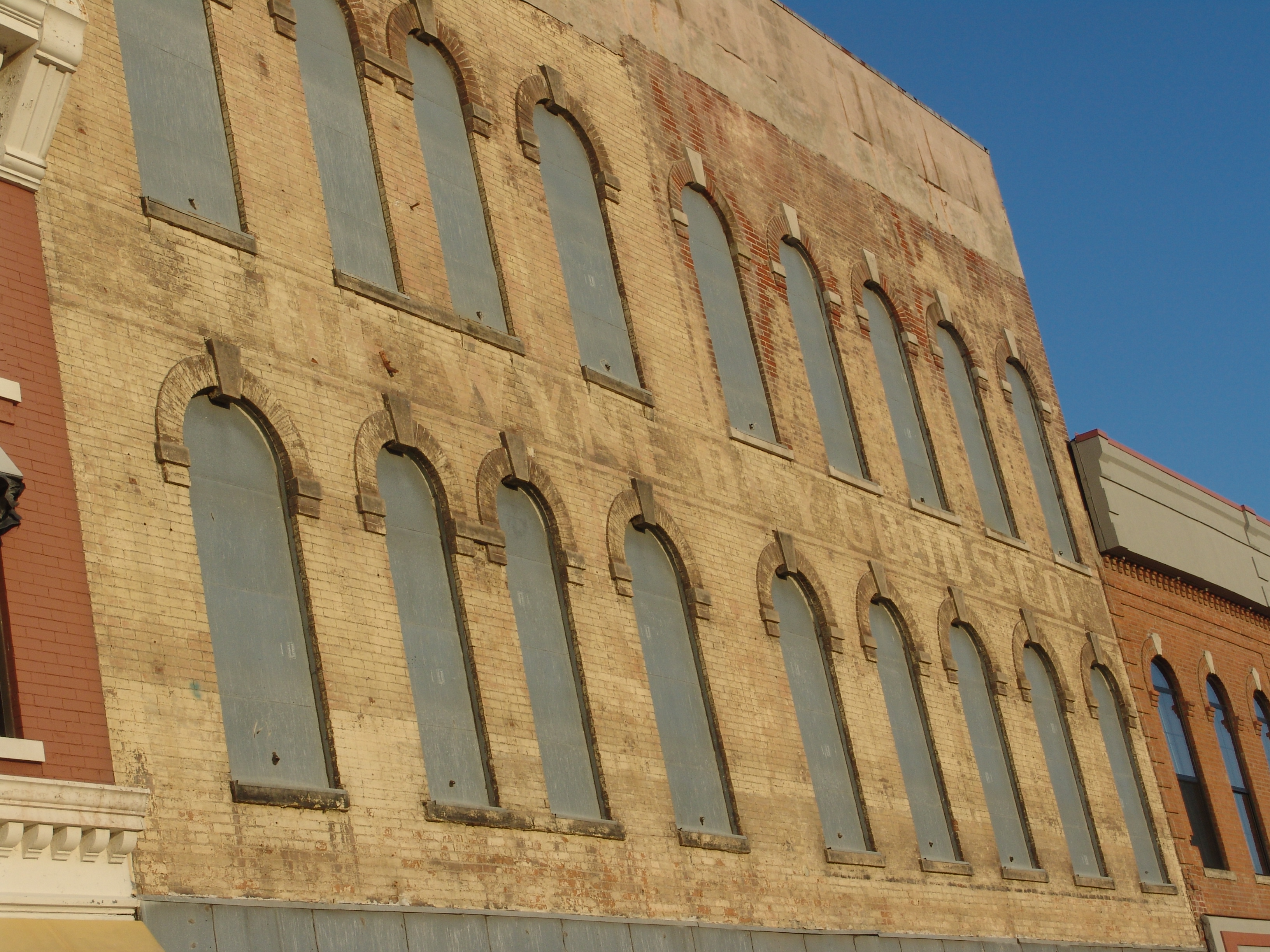
The Wyne Dry Goods Co., Macomb, IL
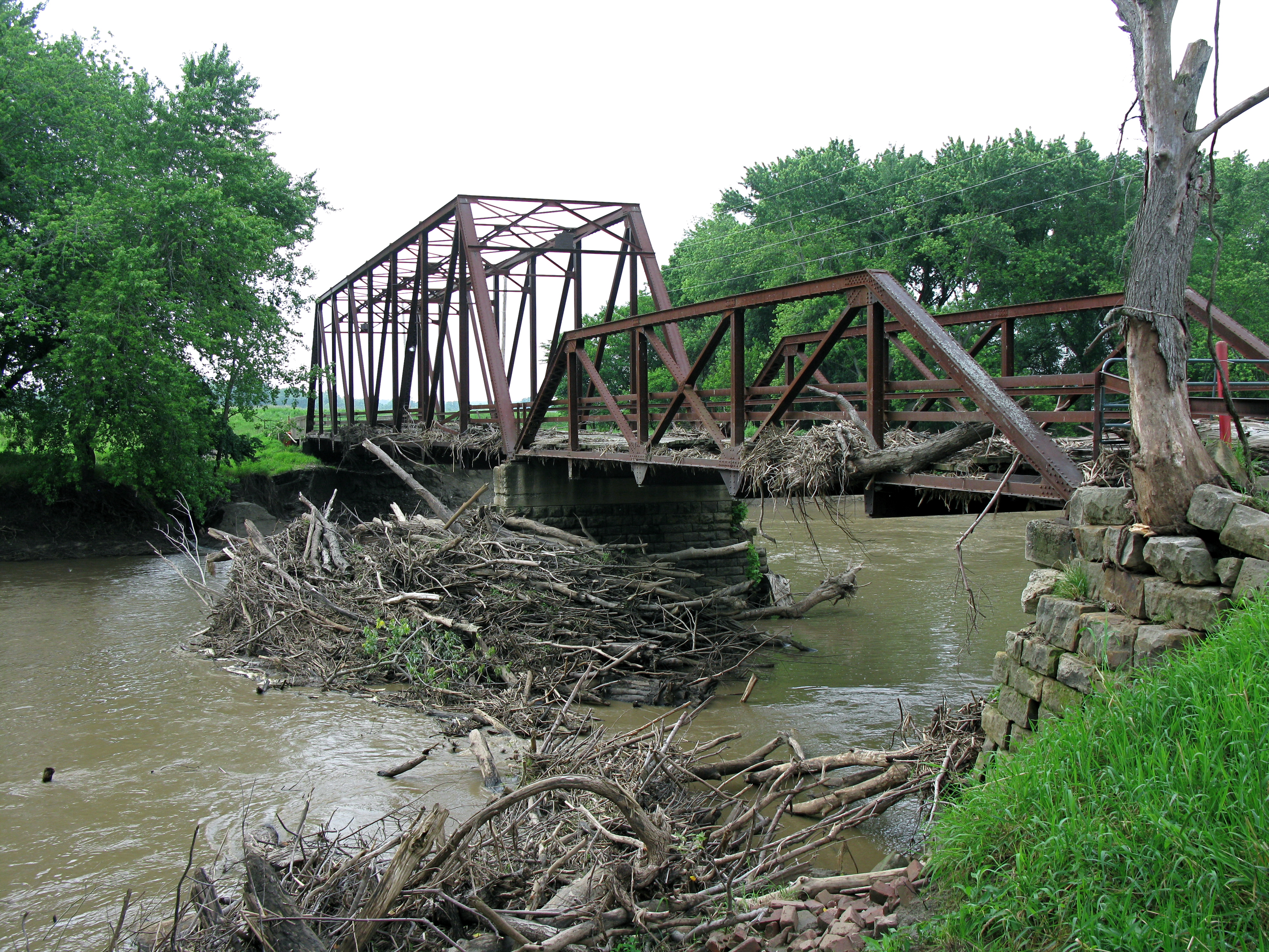
IMG_8032 The Old Bernadotte Bridge (1910). View from the right bank.
our view
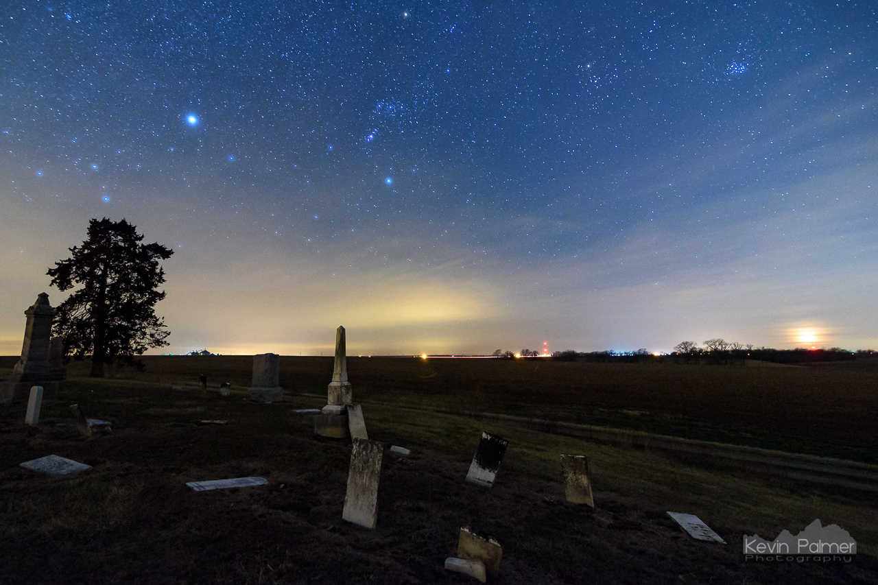
The Forgotten Dead
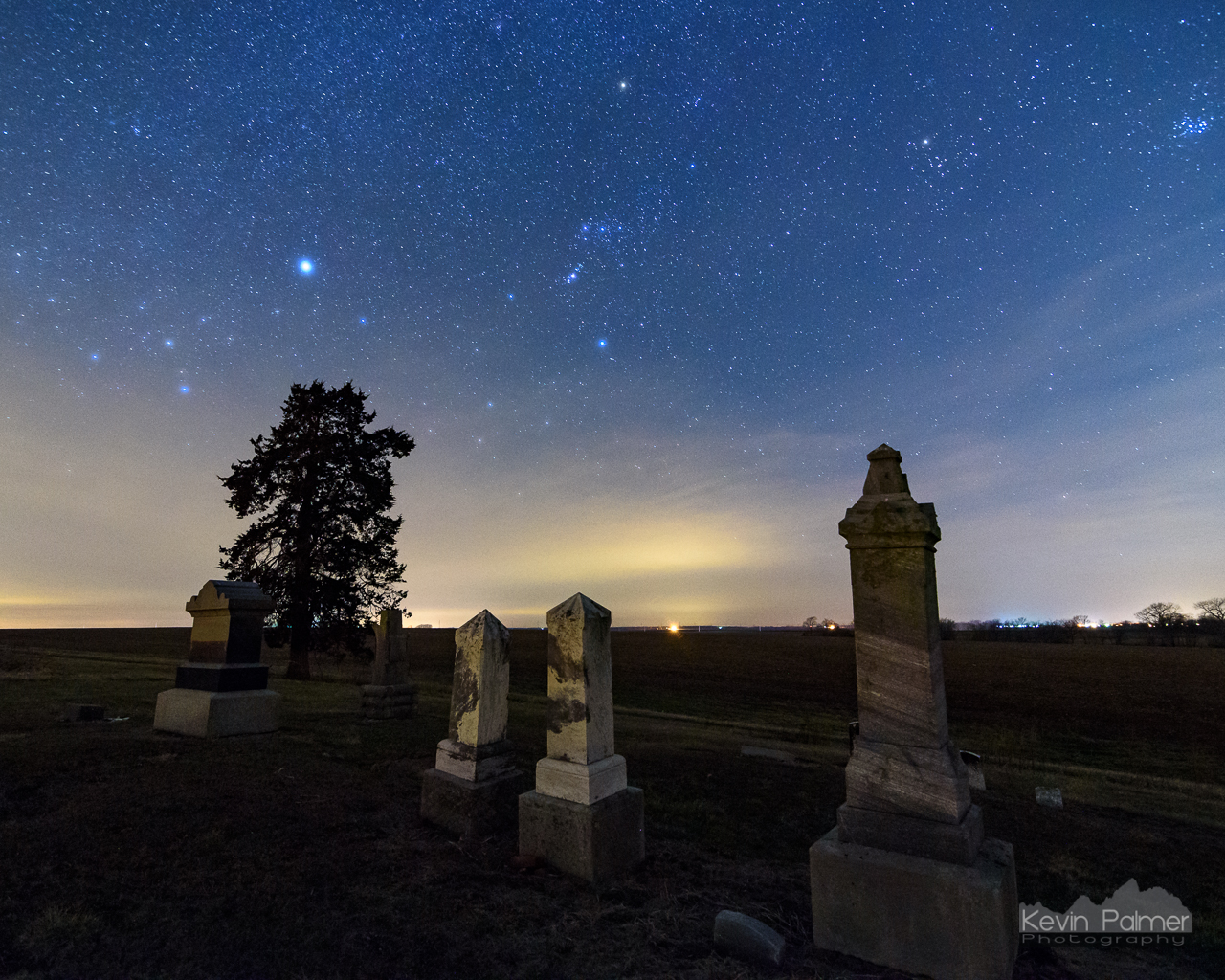
The Dead of Night

Action hero
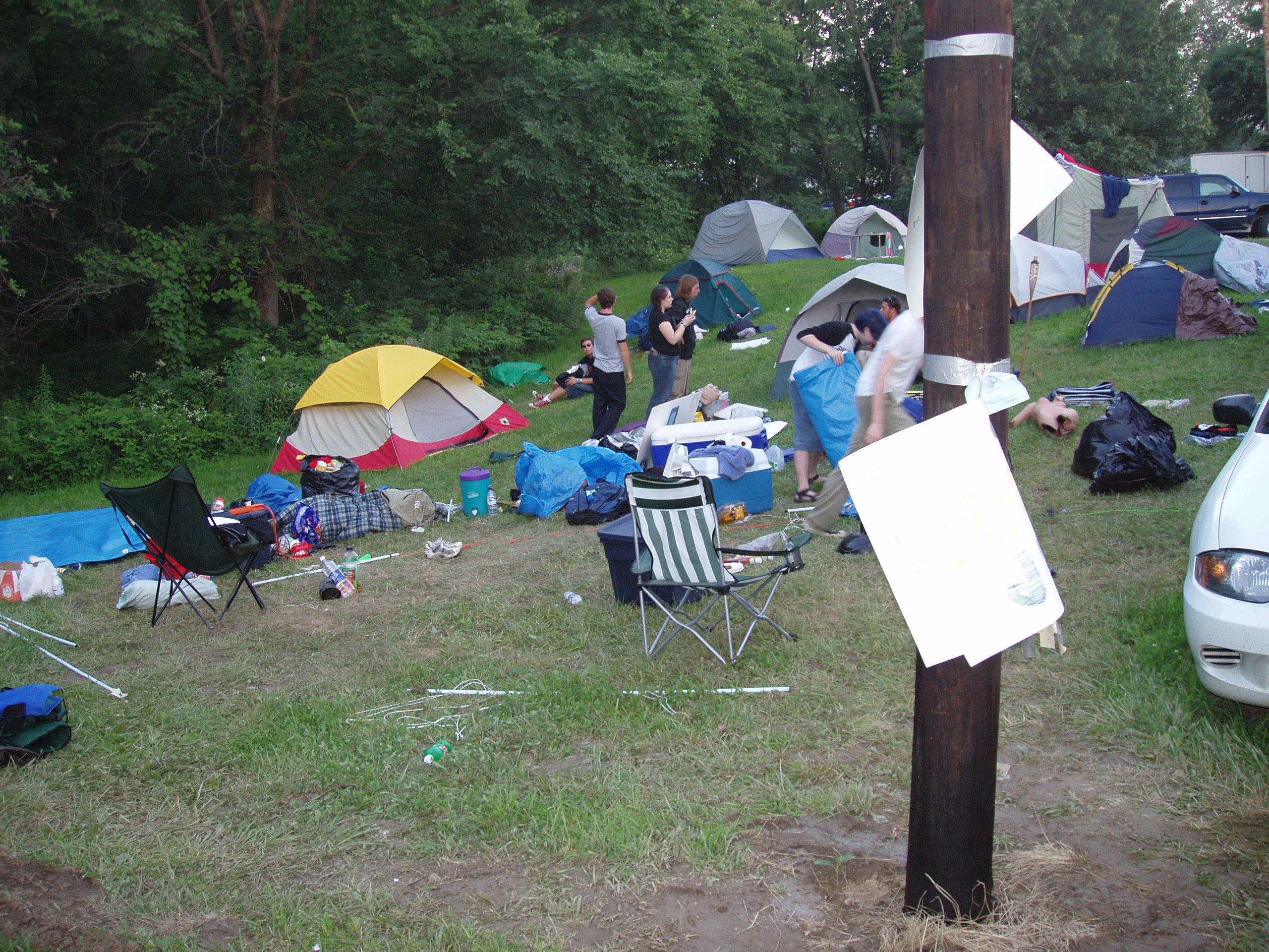
Tearing down Camp Frenzy

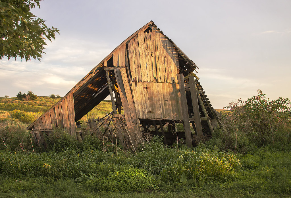
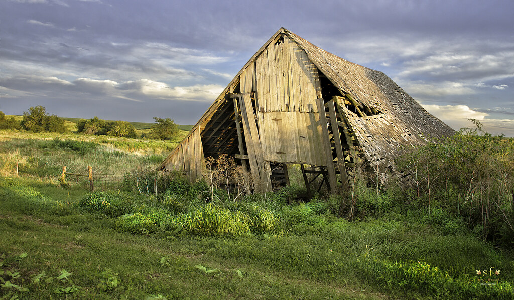
Weathering the Test of Time
No Refuge from the Storms
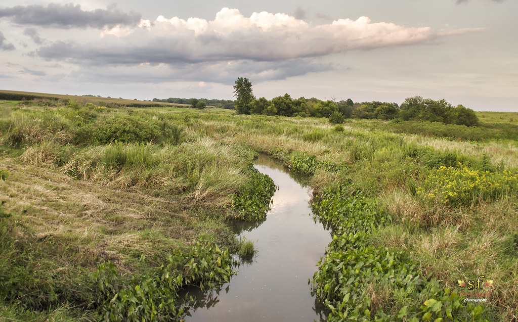
The Creek
Fading From the Landscape
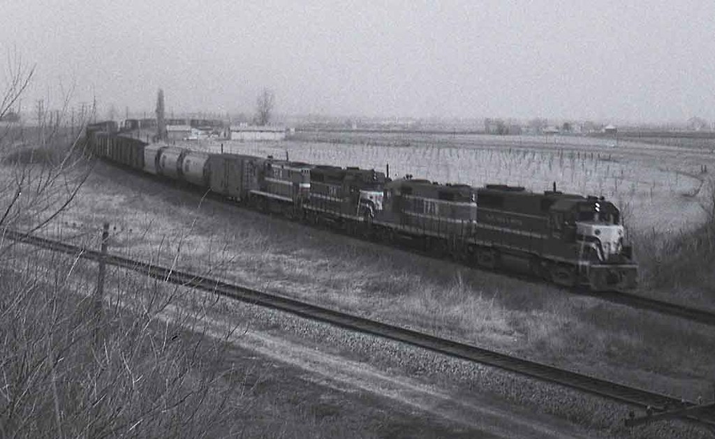
TP&W #902 Bushnell, Illinois 1971 #1
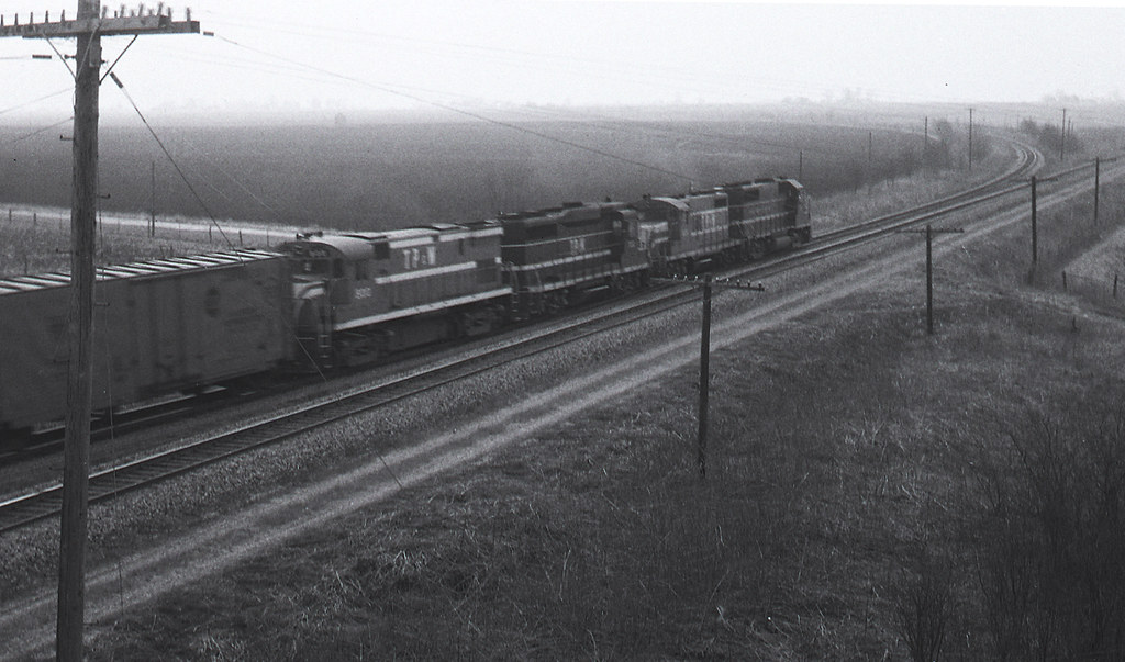
TP&W #902 Bushnell, Illinois 1971 #2

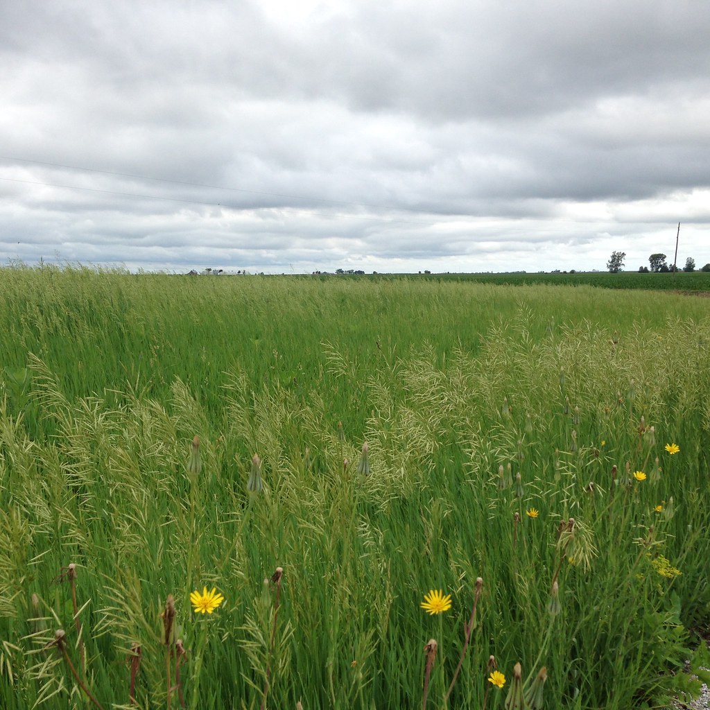
Wind through grass

Phase 1 - Mama Linda's
McDonough County, Illinois

McDonough County, Illinois
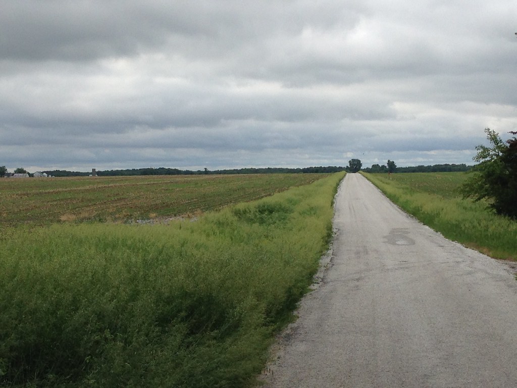
McDonough County, Illinois
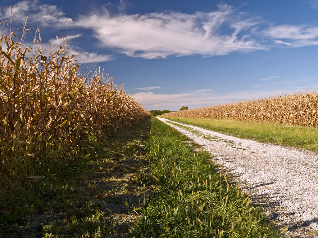
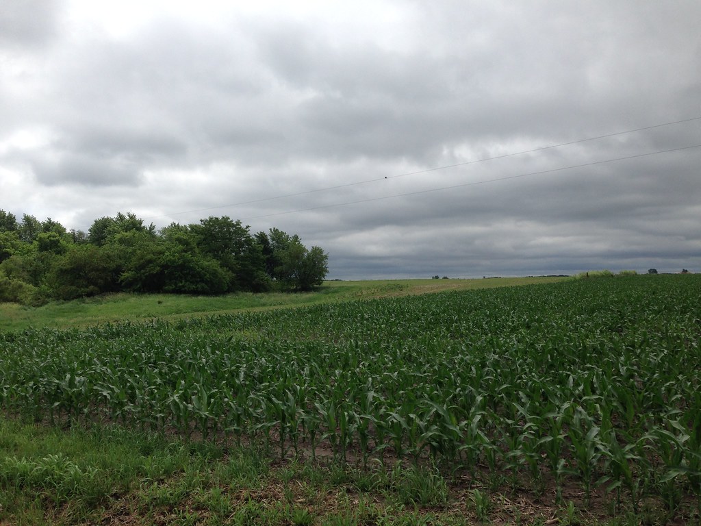
Corn Field Road (2007)
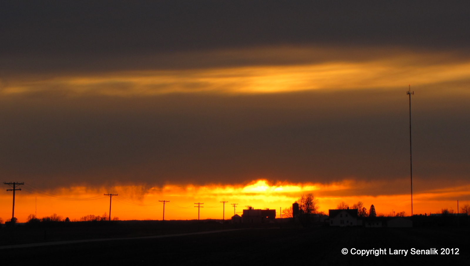
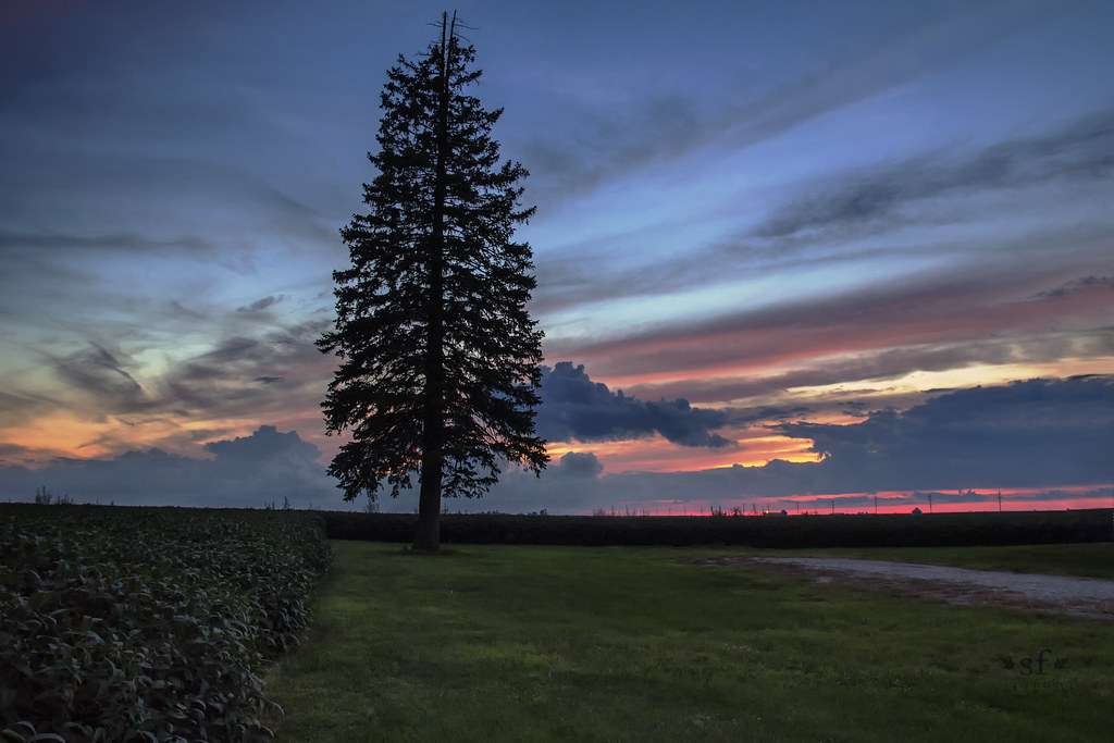
Sunset #1 - March 17, 2012

Landscape Version 1
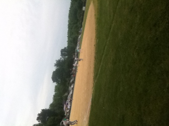
Fuck baseball well little kids baseball
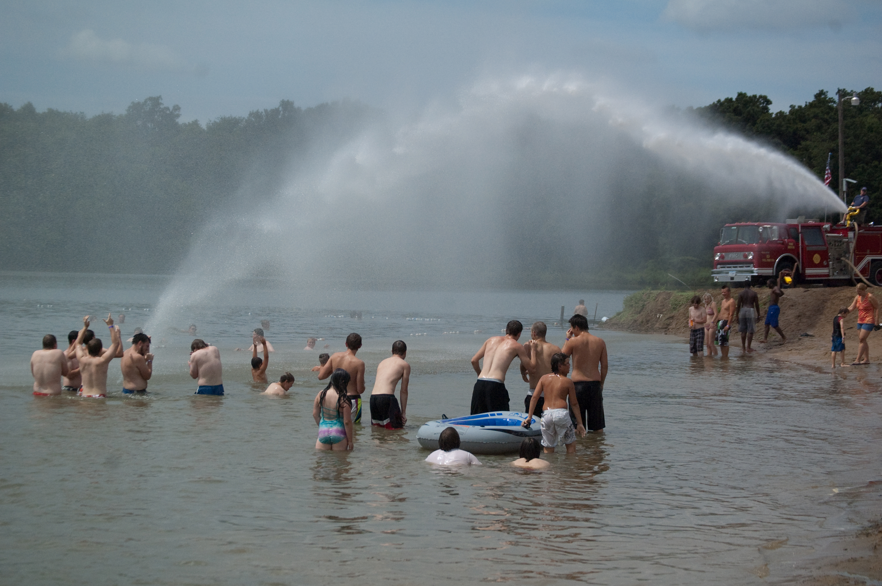
Firetruck Fun on the Beach

John Herrin

Festival Director
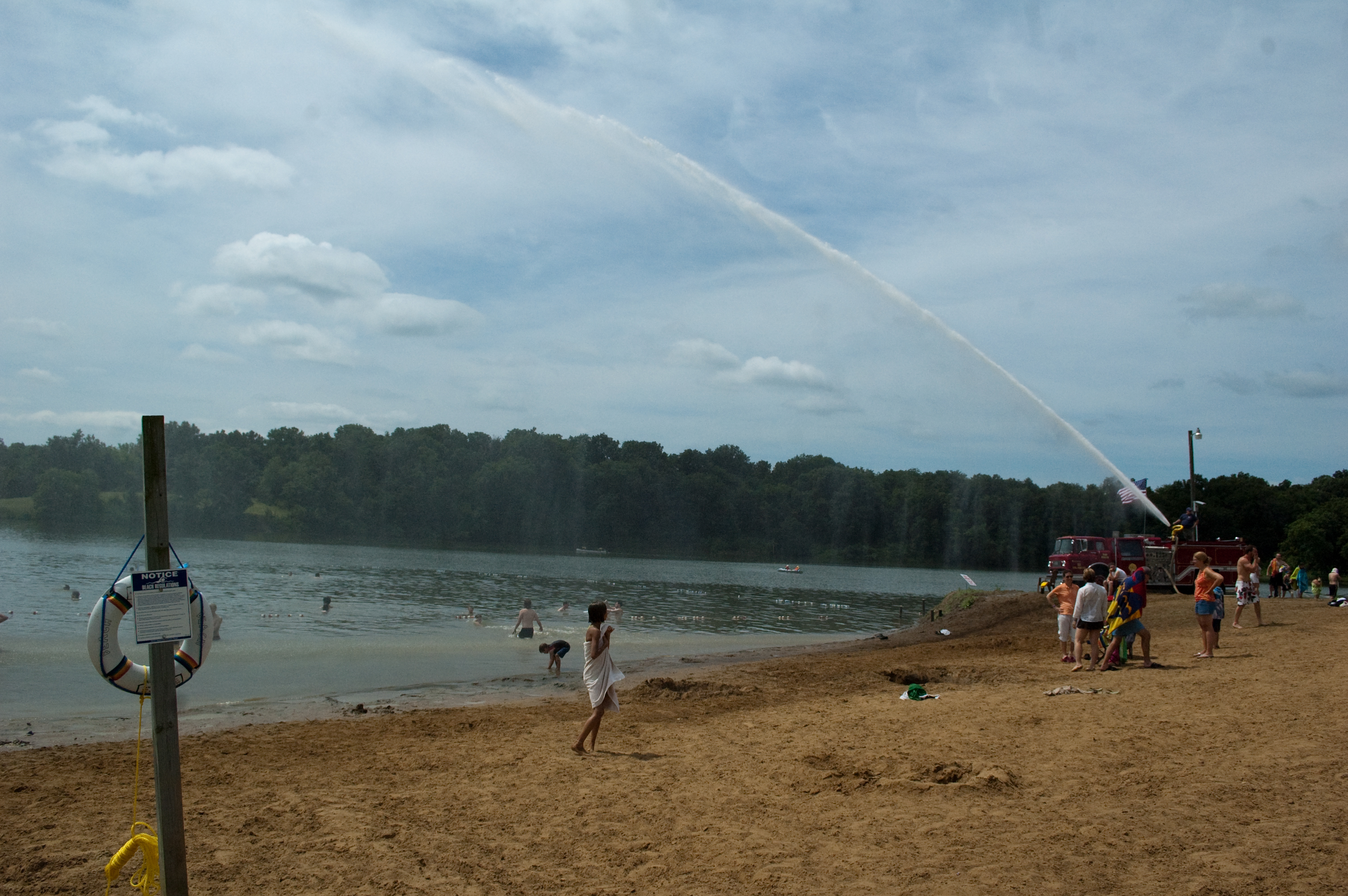
Firetruck Fun on the Beach
McDonough County, Illinois

McDonough County, Illinois
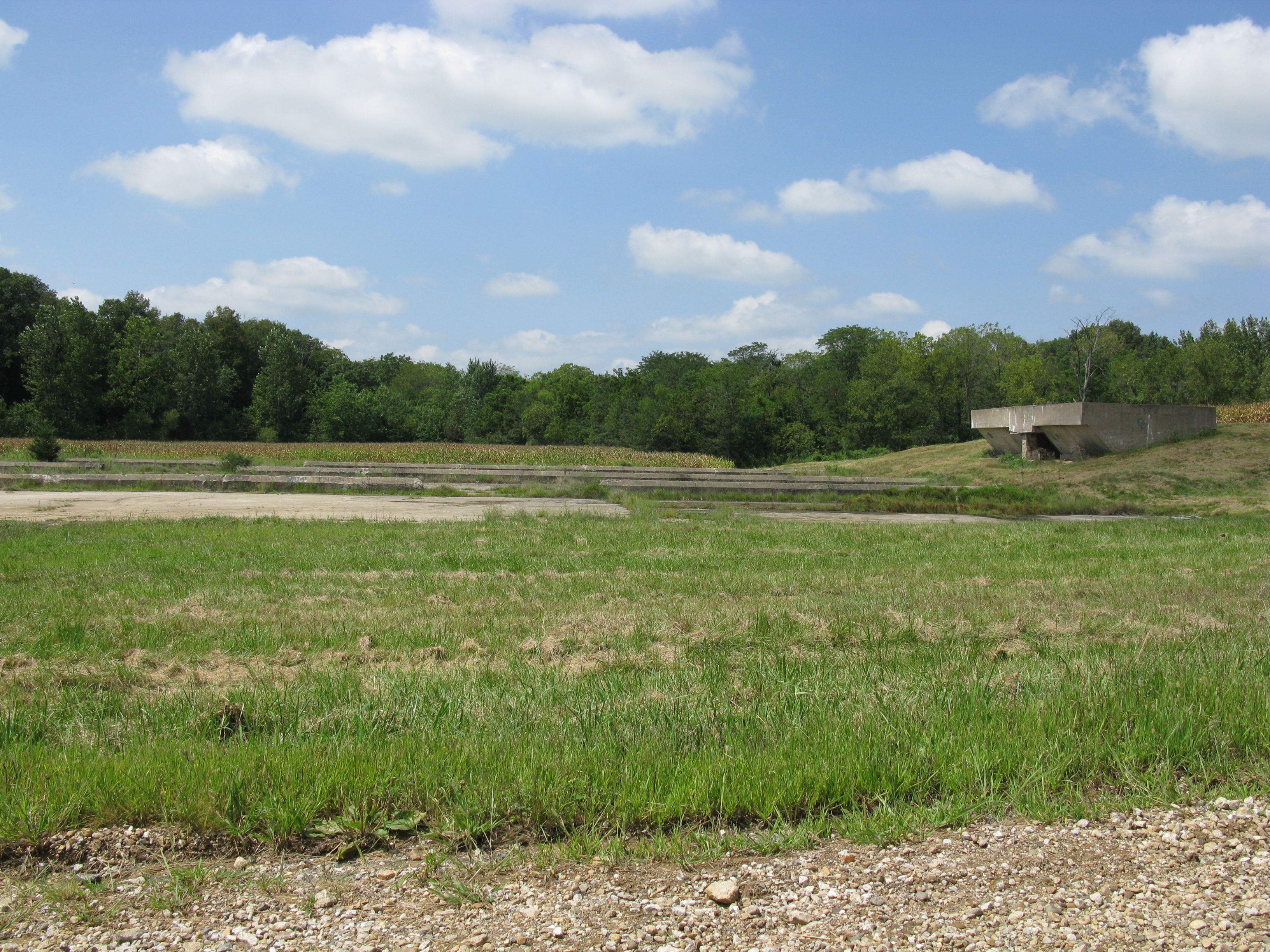
Camp Ellis remains
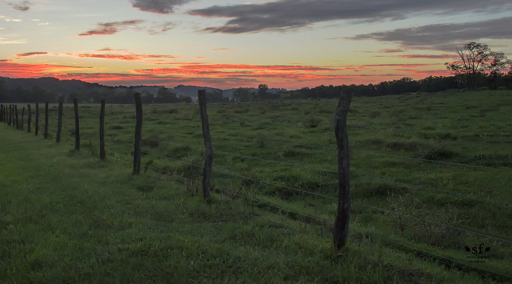
Sunset on a Cattle Ranch Near Bernadotte

Cattle Ranch

Bernadotte Sunset
Contemplating the Blue Hour
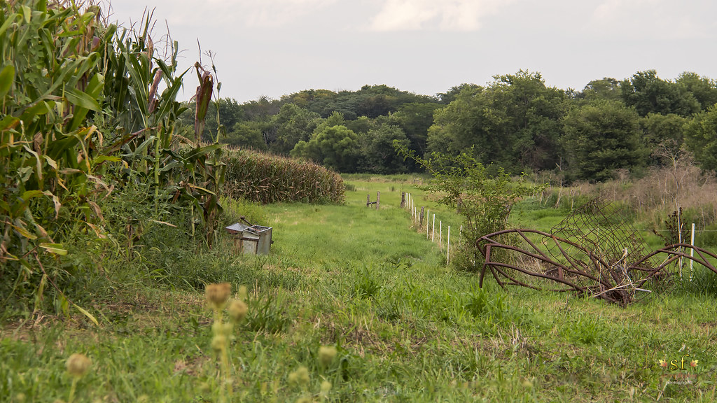
The Crop's Edge
Topographic Map of Adair, IL, USA
Find elevation by address:

Places in Adair, IL, USA:
Places near Adair, IL, USA:
Prairie St, Adair, IL, USA
New Salem Township
East Bryan Road
Harris Township
Marietta
E Main St, Bushnell, IL, USA
Bushnell
707 N Washington St
Industry
E Main St, Industry, IL, USA
18005 Il-9
Bushnell Township
Industry Township
900 E Jefferson St
Macomb City Township
2 West Side Square
2 West Side Square
Macomb
Westen Investments
1406 N Randolph St
Recent Searches:
- Elevation of Corso Fratelli Cairoli, 35, Macerata MC, Italy
- Elevation of Tallevast Rd, Sarasota, FL, USA
- Elevation of 4th St E, Sonoma, CA, USA
- Elevation of Black Hollow Rd, Pennsdale, PA, USA
- Elevation of Oakland Ave, Williamsport, PA, USA
- Elevation of Pedrógão Grande, Portugal
- Elevation of Klee Dr, Martinsburg, WV, USA
- Elevation of Via Roma, Pieranica CR, Italy
- Elevation of Tavkvetili Mountain, Georgia
- Elevation of Hartfords Bluff Cir, Mt Pleasant, SC, USA