Elevation of Prague-East District, Czech Republic
Location: Czech Republic > Central Bohemian Region >
Longitude: 14.7924472
Latitude: 49.9389307
Elevation: 431m / 1414feet
Barometric Pressure: 96KPa
Elevation Map:
Satellite Map:
Related Photos:
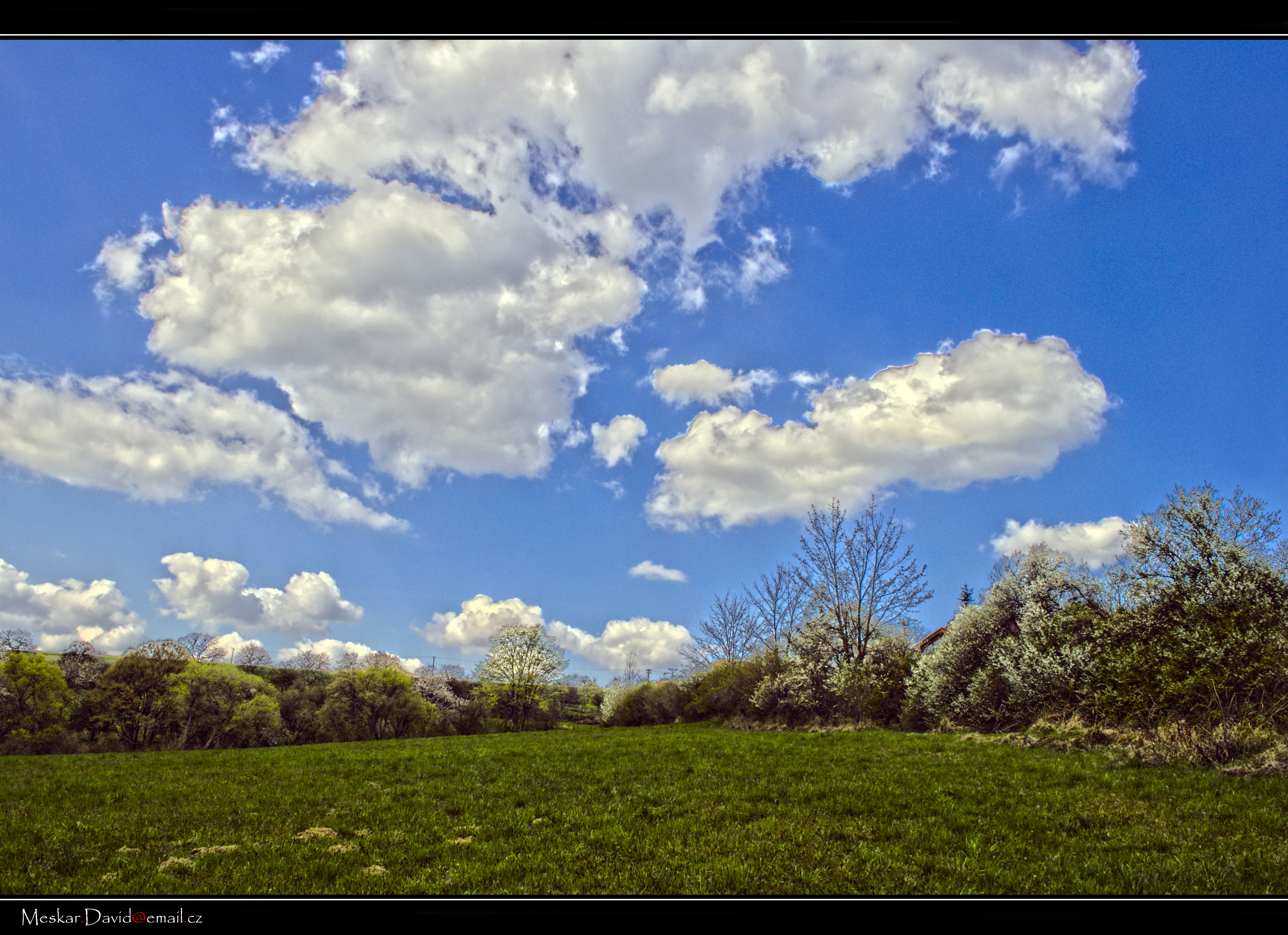
Open House view towards woods.jpg
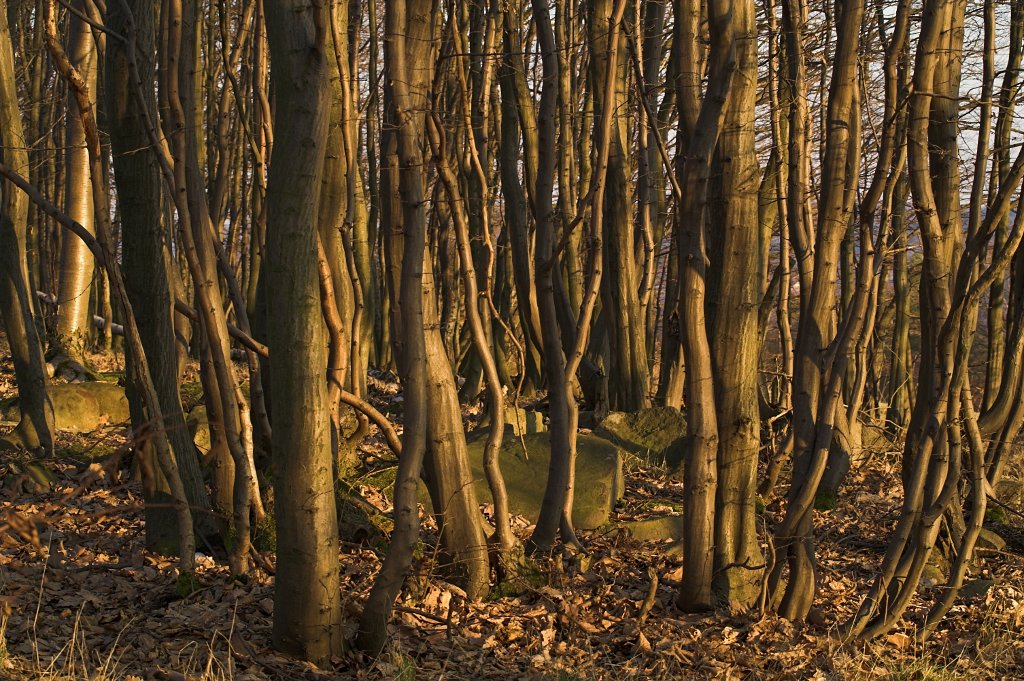
Natural Density II
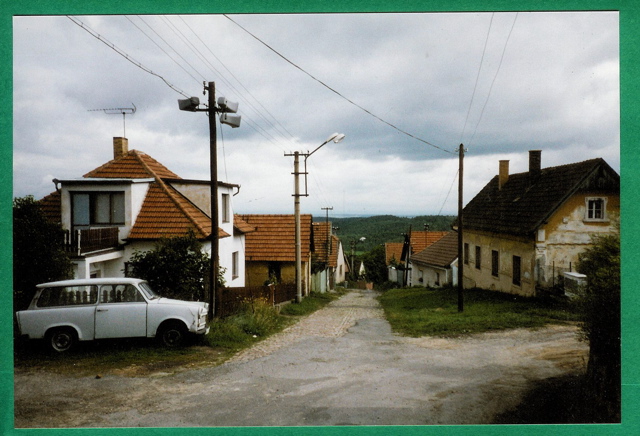
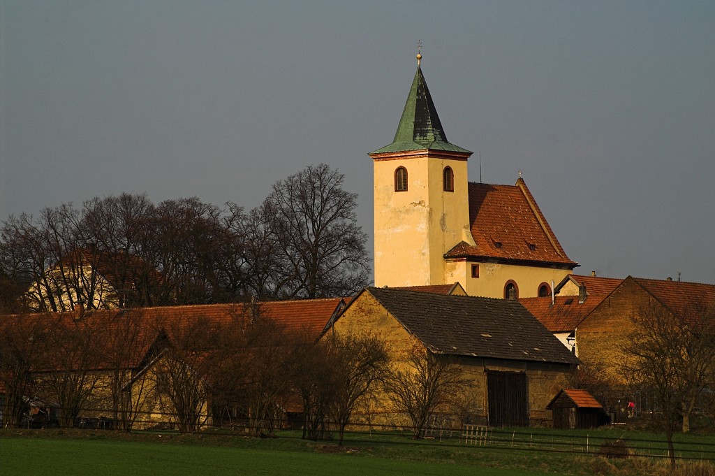
Rataje, Czech Republic 11-24-12
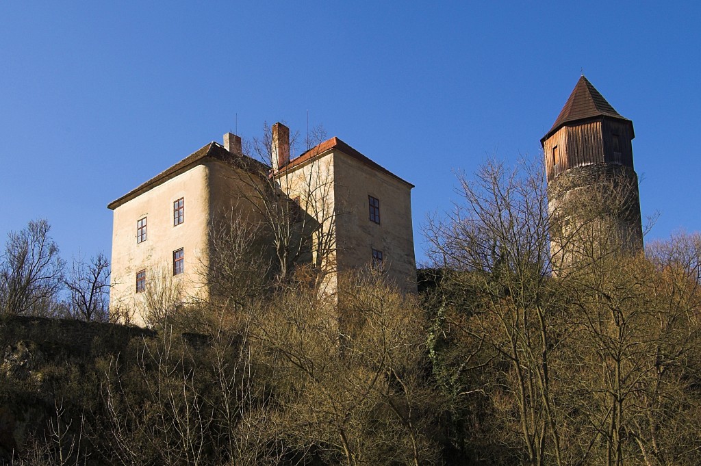
Pirkštejn
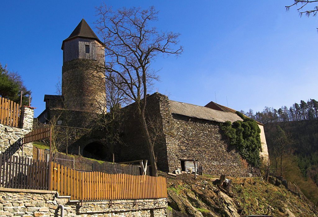
Pirkštejn

BABKA, Brdy

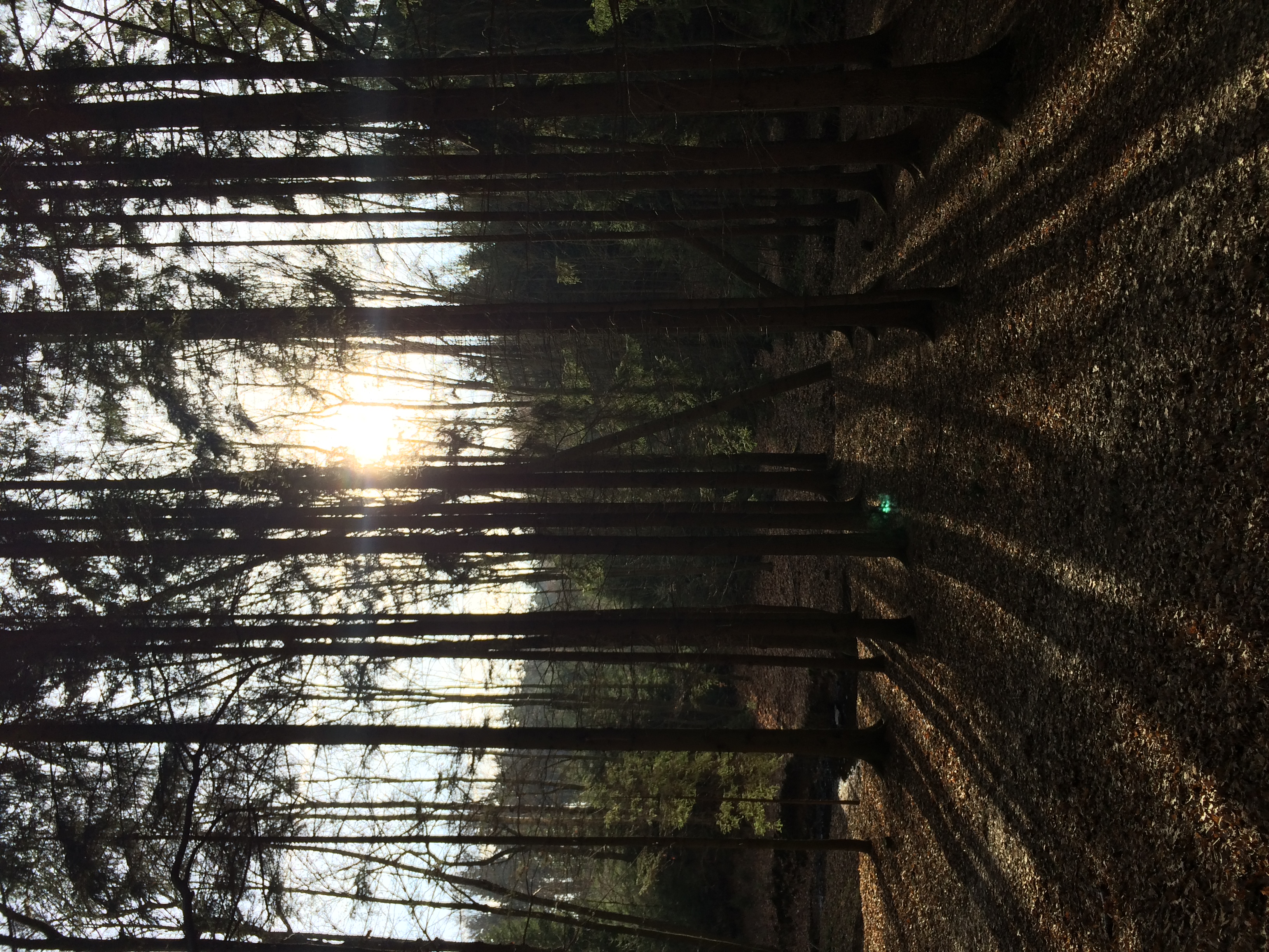
Sunlight Behind The Clouds

Autumn Evening
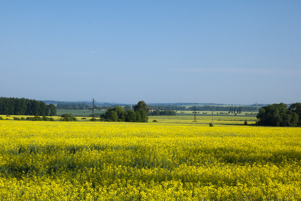
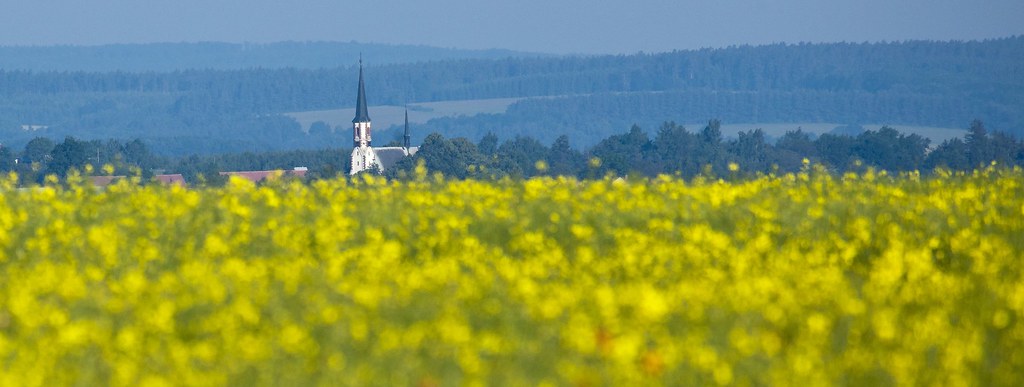
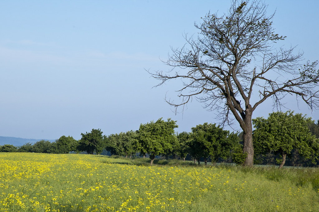
Rataje 5-29-2011

Boulder stones / Bludné balvany
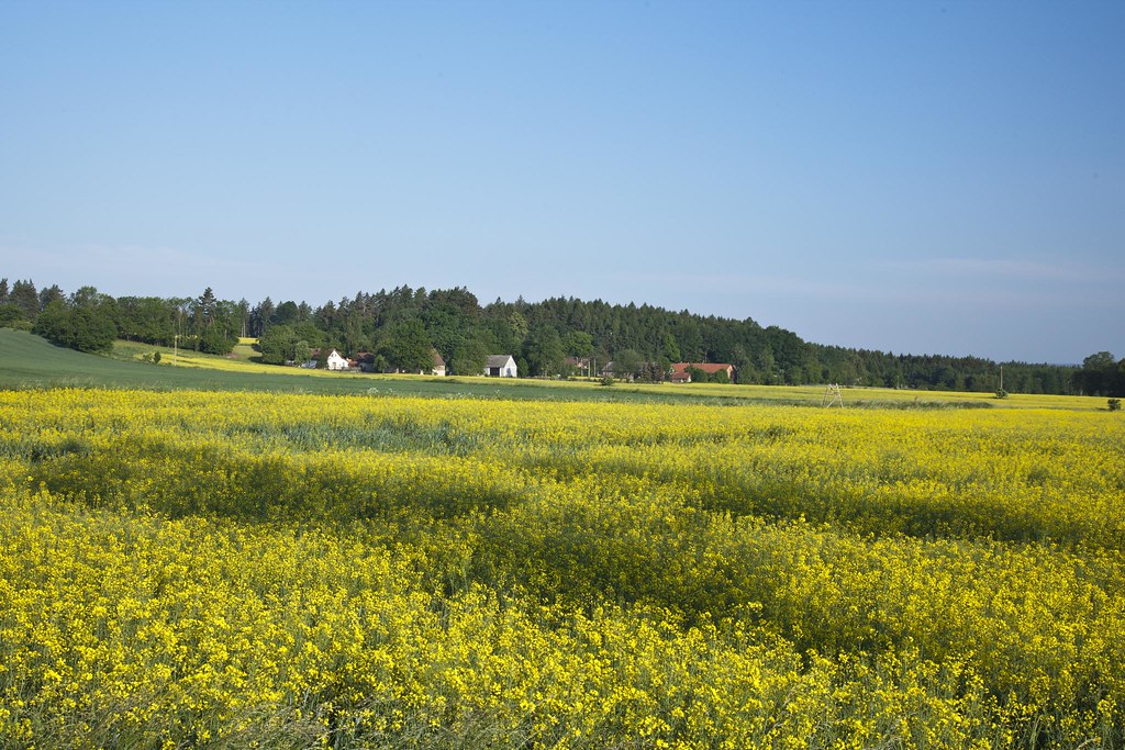
Rataje 5-29-2011
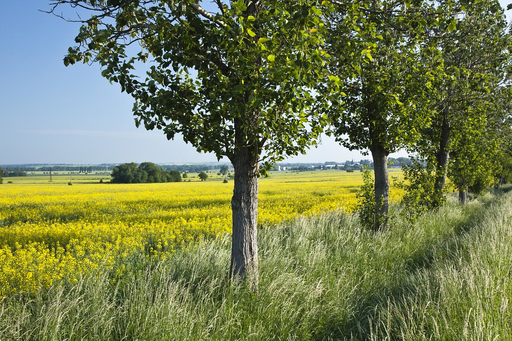
Rataje 5-29-2011
Rataje 5-29-2011
Rataje 5-29-2011
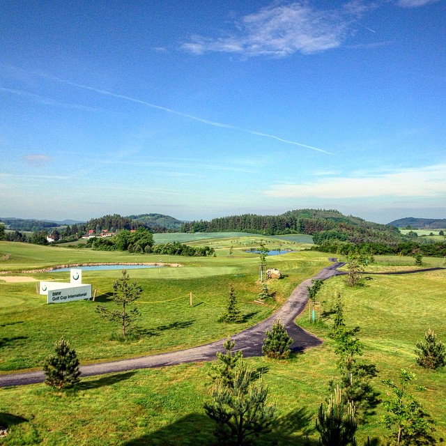
#jednagolfova
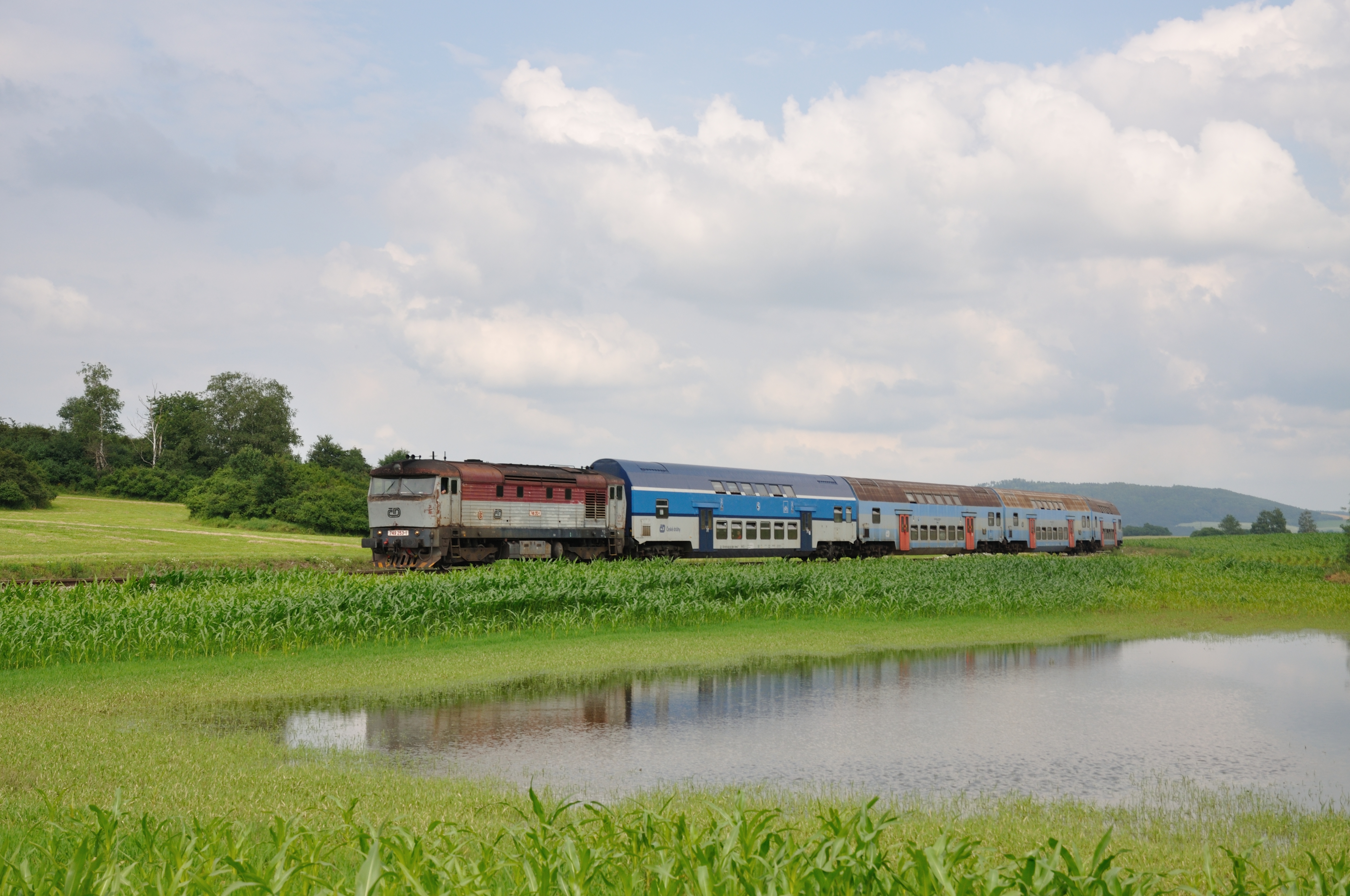
CD 749 253 met Os, Pecerady, 06-07-2013

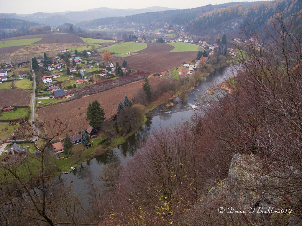
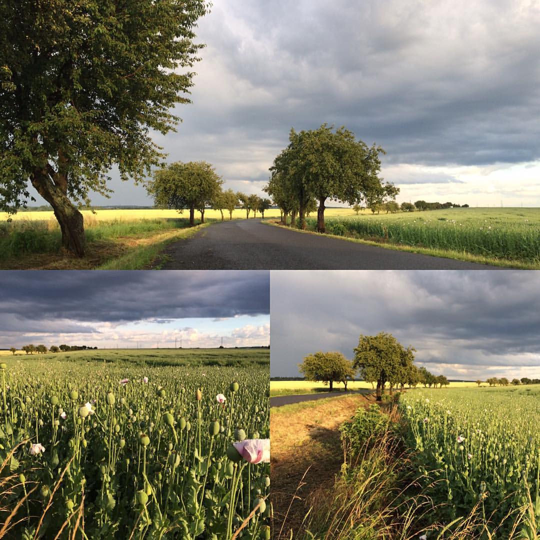
Driving home in Central Bohemia yesterday morning

Patient waiting for his surgical operation
Klokočná
Říčany
Dnešních 7, 5 km večerního běhu po bouřce. #running #beh #bourka #storm #evening #road

Hříbky ;-)
dsc_5264.jpg

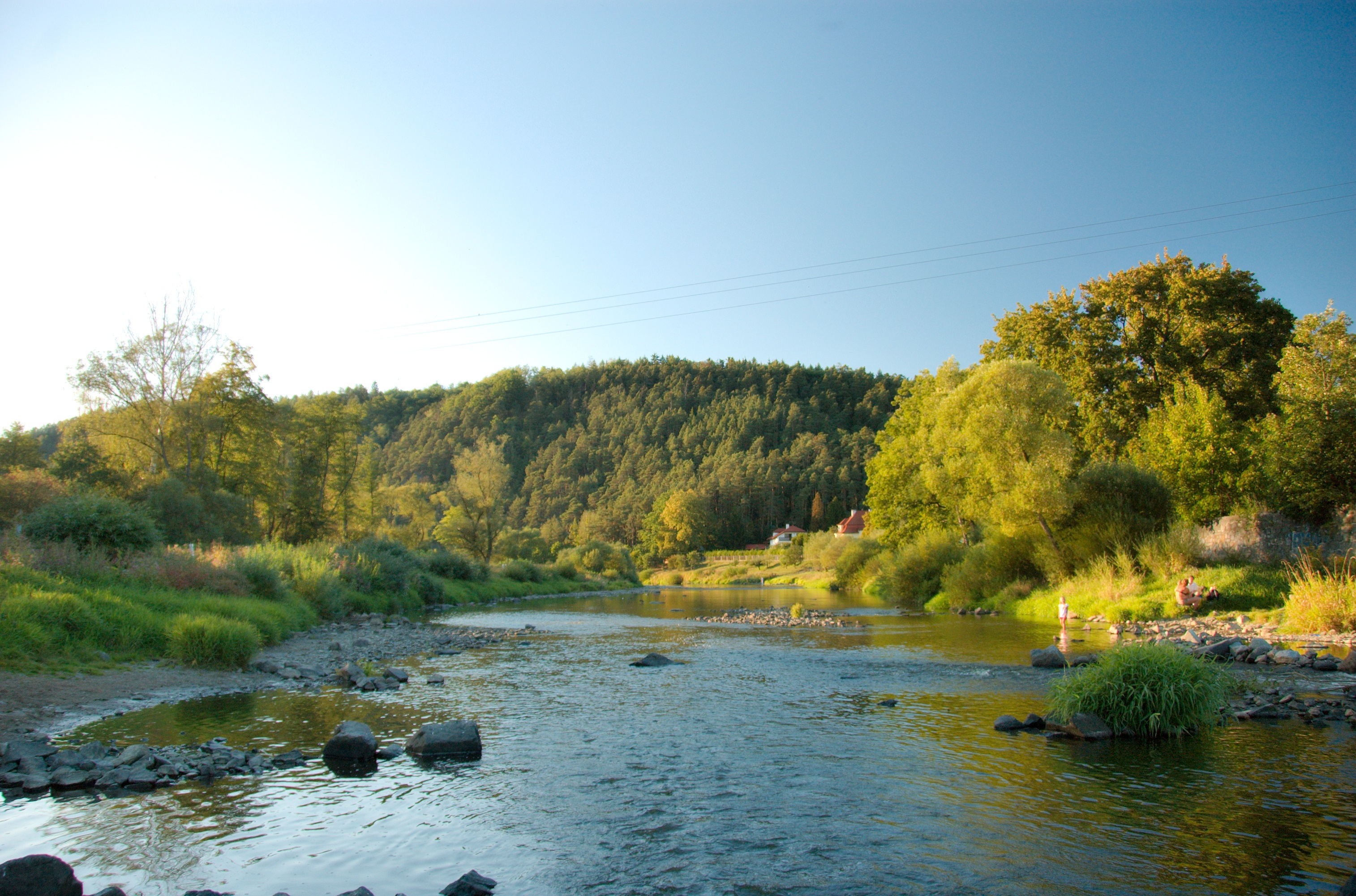
1985 Weir
Hrusice III
Topographic Map of Prague-East District, Czech Republic
Find elevation by address:

Places in Prague-East District, Czech Republic:
Places near Prague-East District, Czech Republic:
Černé Voděrady
Voděradské Bučiny
Ondřejov Observatory
Ondřejov
Nad Vysokou
Sportovní 62, 62 Mukařov, Czech Republic
Mukařov
Vranov
Mačovice 14, 22 Vranov, Czech Republic
Mačovice
Vitice
Central Bohemian Region
Divišov
Lipany 4, 63 Vitice, Czech Republic
Lipany
Struhařov
Vyšehořovice
Prague 21
Myslíč 18, 01 Struhařov, Czech Republic
Myslíč
Recent Searches:
- Elevation of Corso Fratelli Cairoli, 35, Macerata MC, Italy
- Elevation of Tallevast Rd, Sarasota, FL, USA
- Elevation of 4th St E, Sonoma, CA, USA
- Elevation of Black Hollow Rd, Pennsdale, PA, USA
- Elevation of Oakland Ave, Williamsport, PA, USA
- Elevation of Pedrógão Grande, Portugal
- Elevation of Klee Dr, Martinsburg, WV, USA
- Elevation of Via Roma, Pieranica CR, Italy
- Elevation of Tavkvetili Mountain, Georgia
- Elevation of Hartfords Bluff Cir, Mt Pleasant, SC, USA