Elevation of Myslíč 18, 01 Struhařov, Czech Republic
Location: Czech Republic > Central Bohemian Region > Benešov District > Struhařov > Myslíč >
Longitude: 14.7245991
Latitude: 49.7668227
Elevation: 378m / 1240feet
Barometric Pressure: 97KPa
Elevation Map:
Satellite Map:
Related Photos:
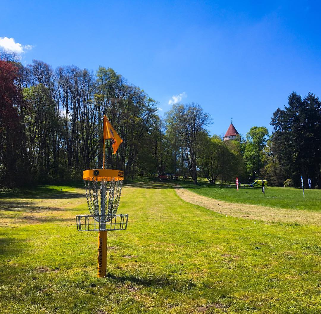
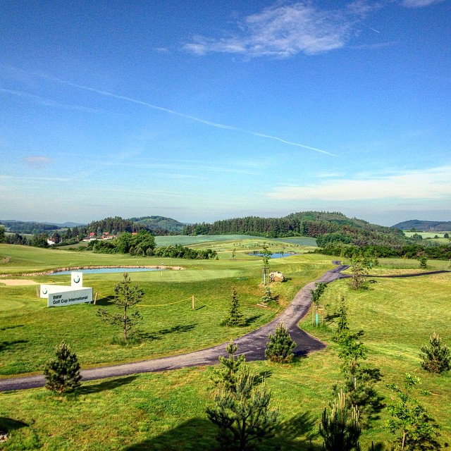
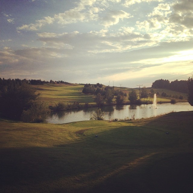
Here's the epic view looking back on the basket and fairway of Hole #1 at the Konopiste Castle on the Franz Ferdinand DiscGolfPark! #DiscGolf #KonopisteOpen #DGWT #DiscGolfWorldTour #CzechRepublic

Benesov View
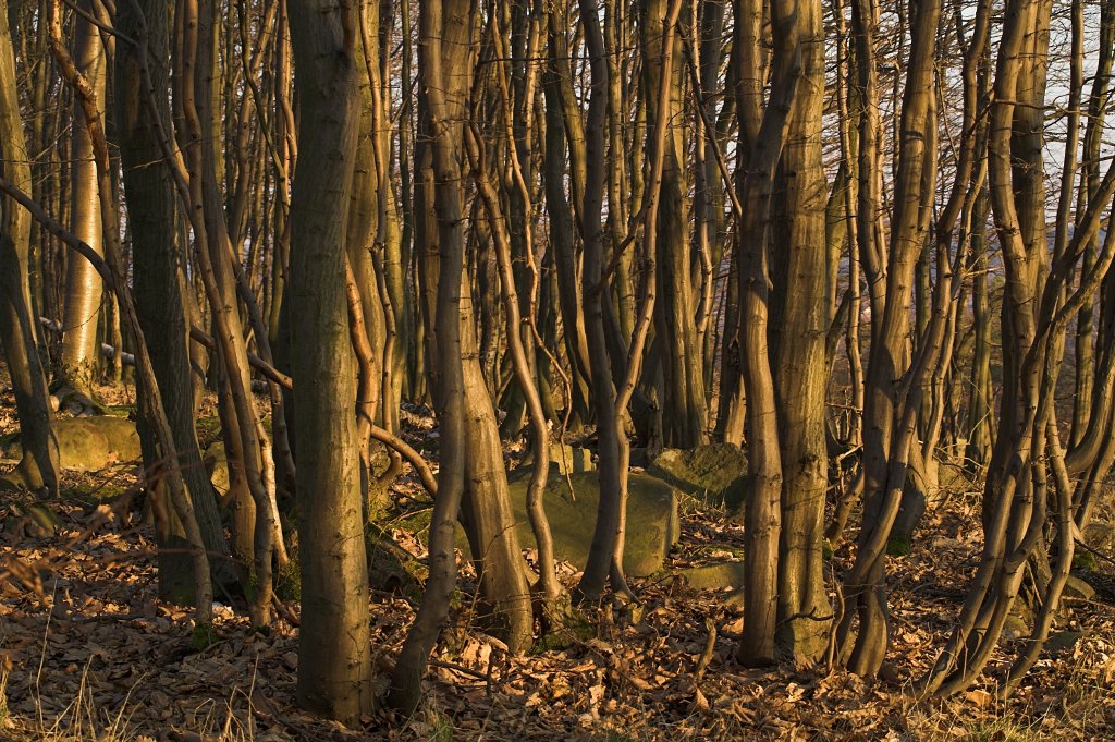
Natural Density II

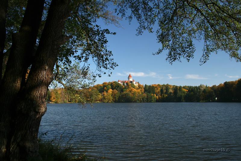
View from castle in Český Šternberg
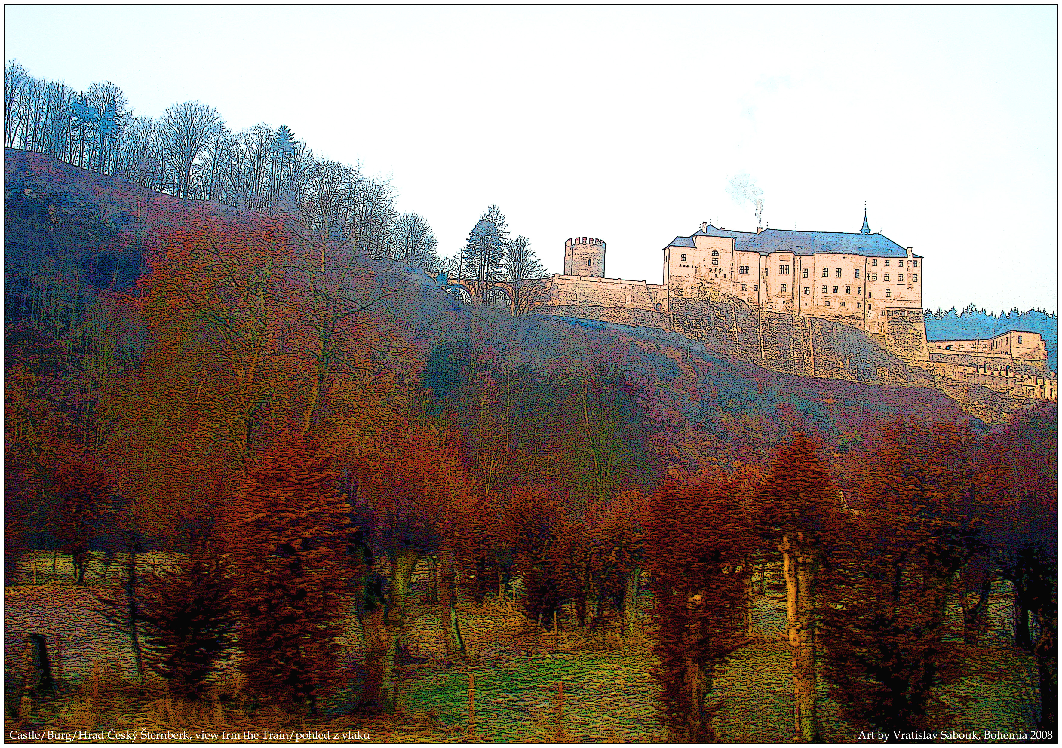
Castle/ Burg/ Hrad Cesky Sternberk, pohled z jedouciho vlaku/ view from the Train
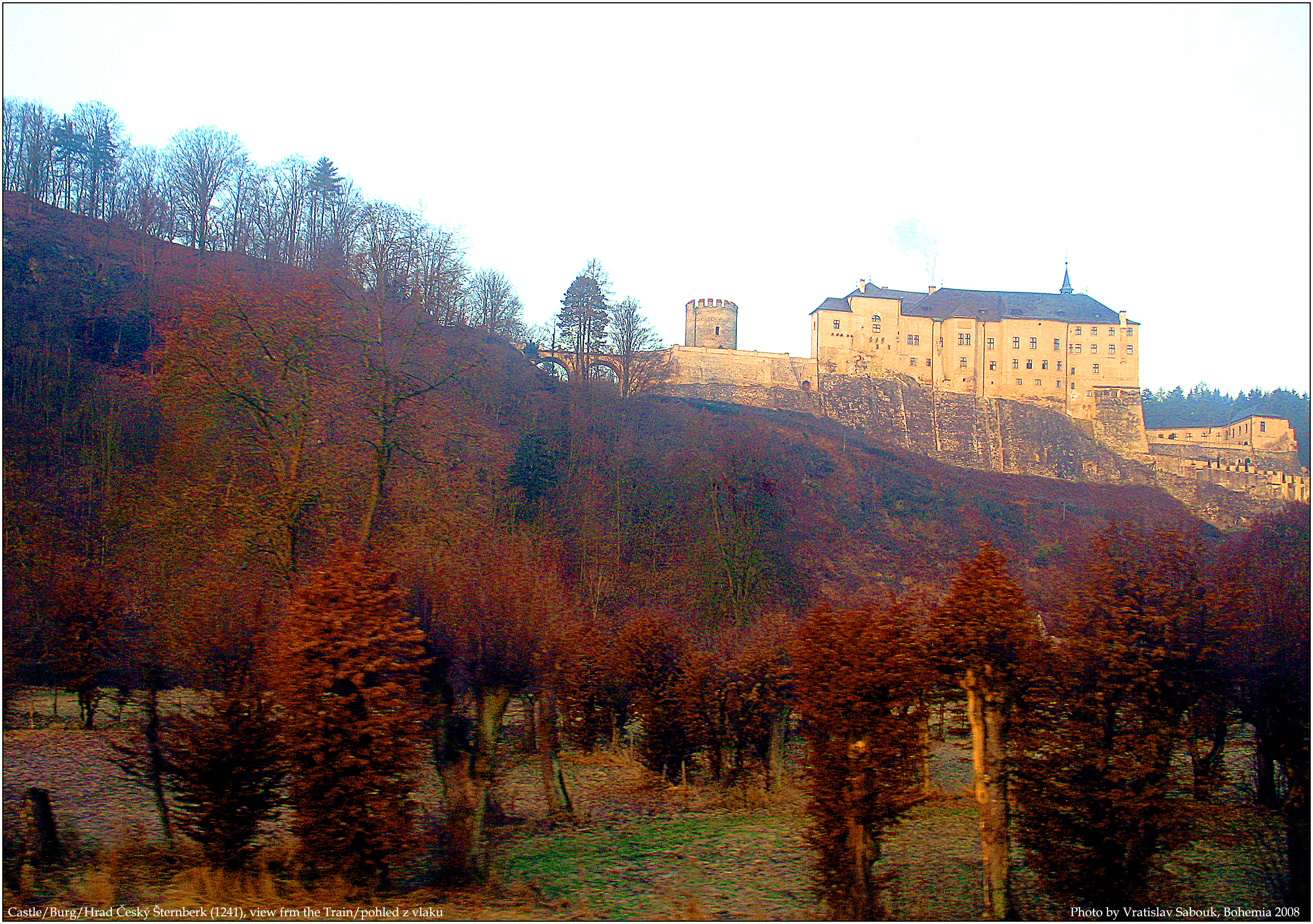
Castle/ Burg/ Hrad Cesky Sternberk, view from the moving Train / pohled z jedouciho vlaku
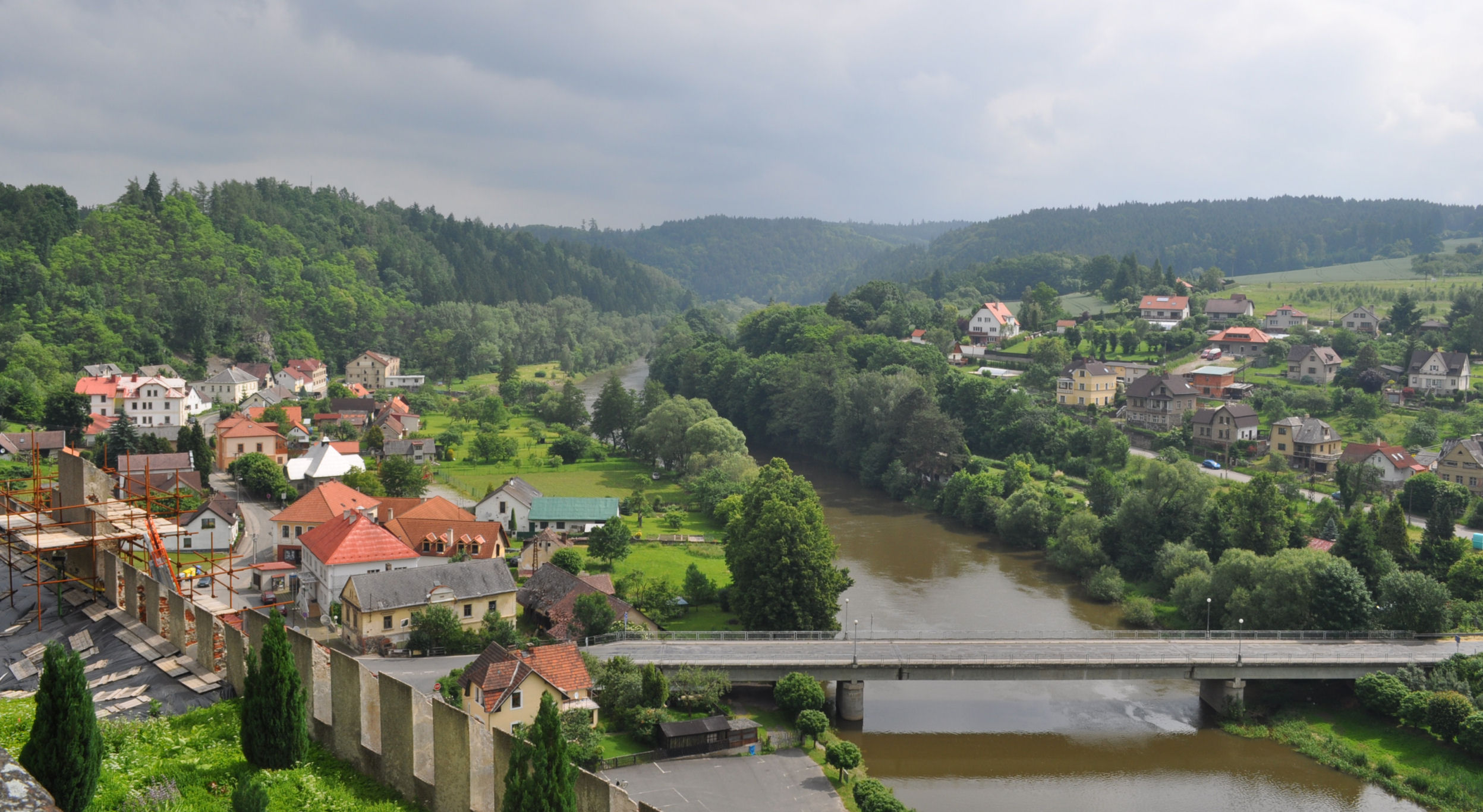
view from Castle Sternberg
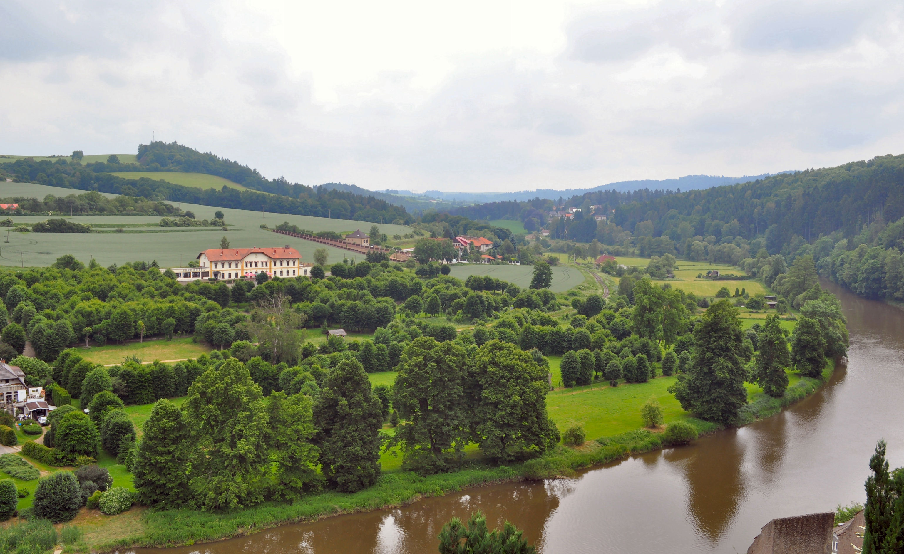
view from Castle Sternberg 3
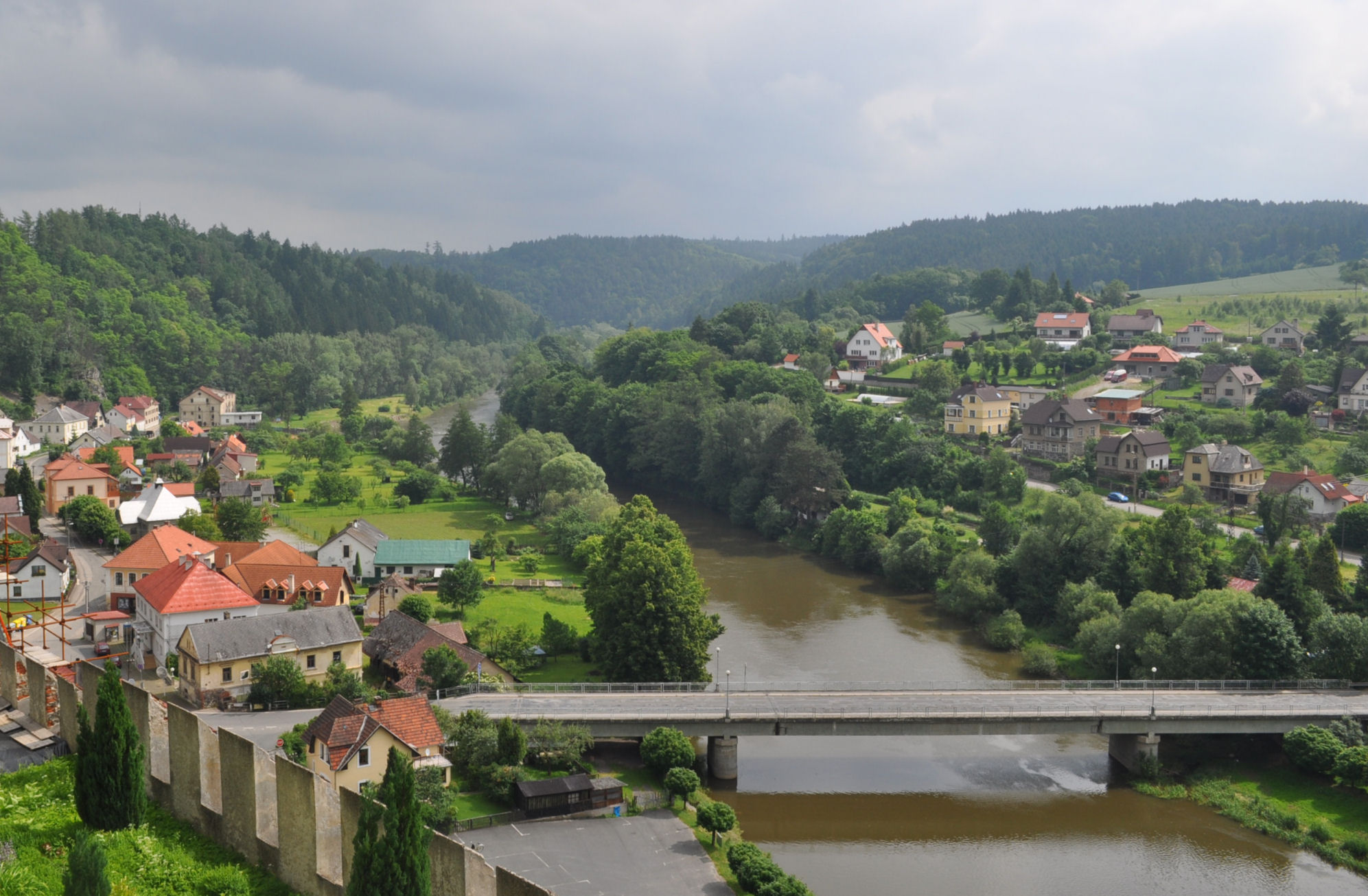
view from Castle Sternberg 2

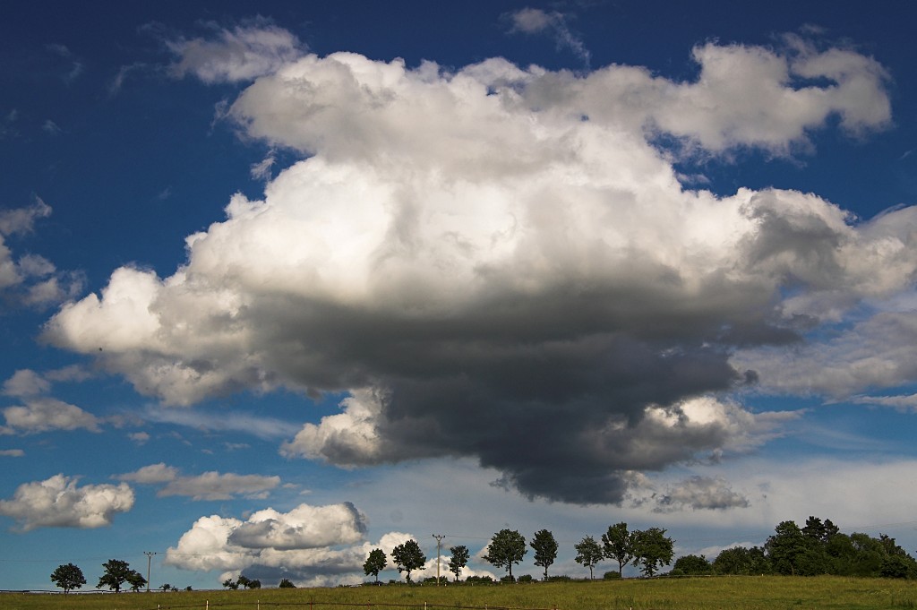
The Old Church and the Storm

But one is broken
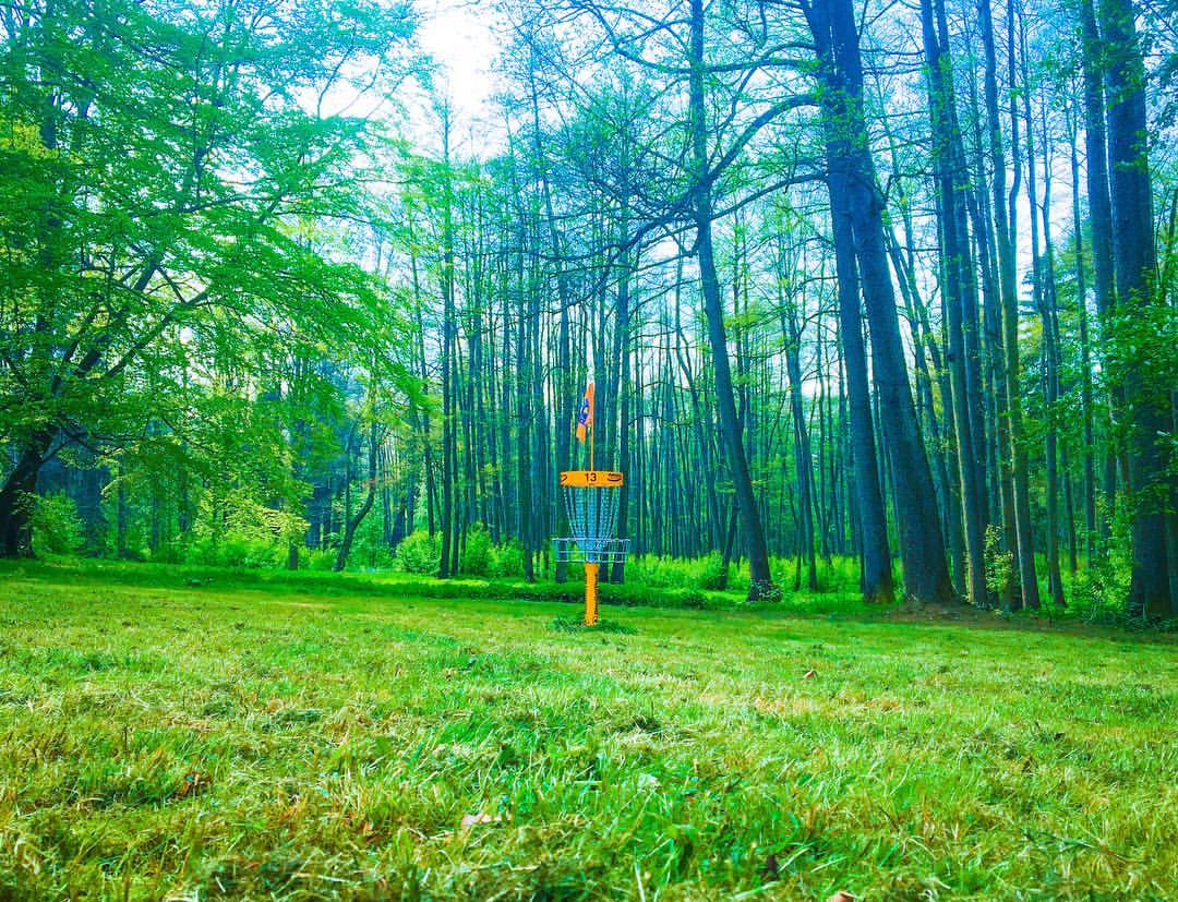
These bright yellow DiscGolfPark Baskets seem to glow in the lush green wilderness! #DiscGolf #Konopiště #CzechRepublic #DGWT #DiscGolfWorldTour
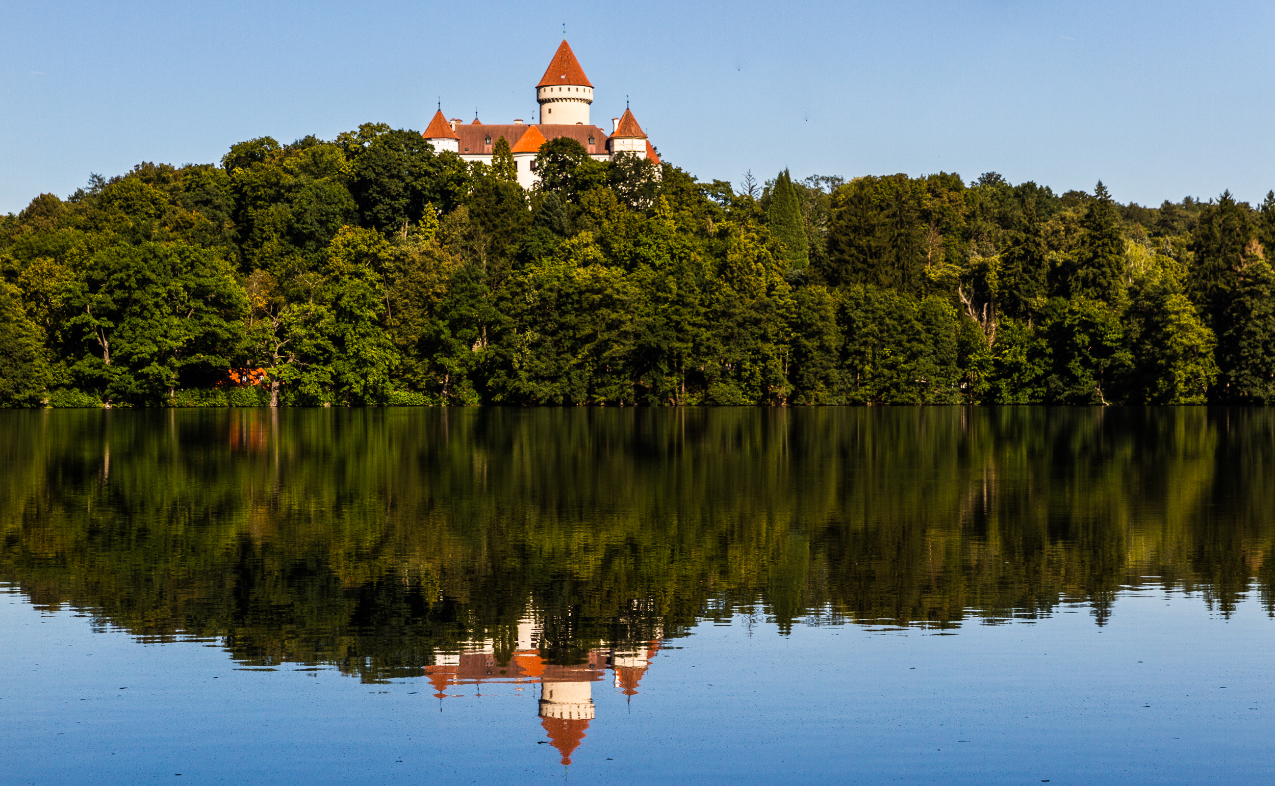
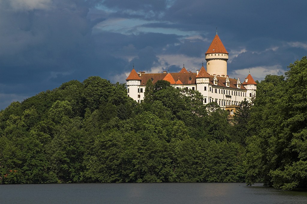
Konopiště Castle

Abandoned factory
Hrusice III
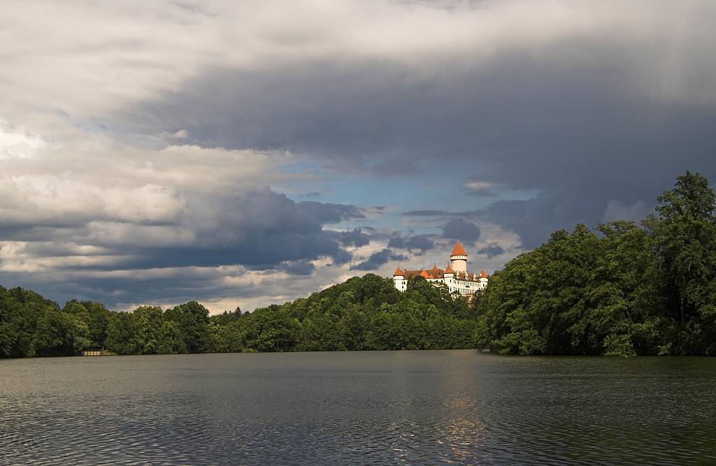
Konopiste after a storm
Konopiste II
#jednagolfova
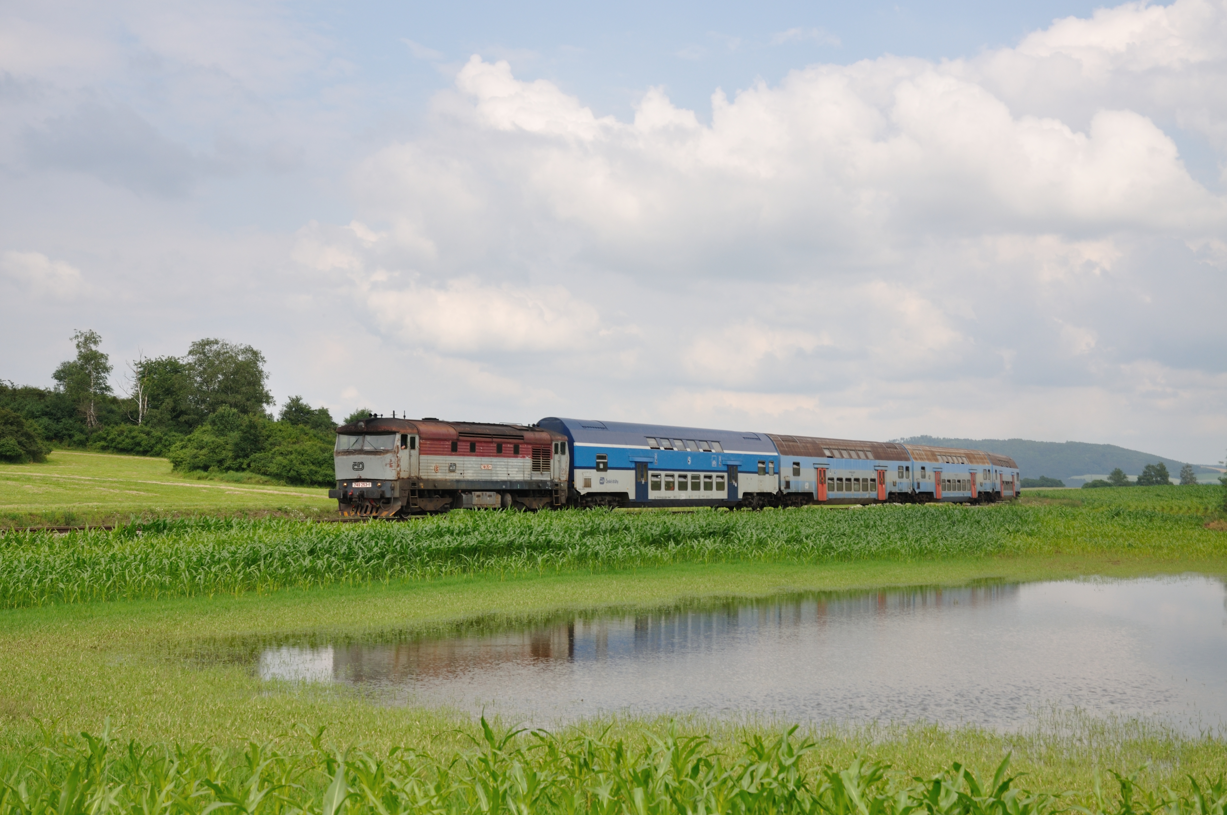
CD 749 253 met Os, Pecerady, 06-07-2013
Djinn of Aladdin's Lamp

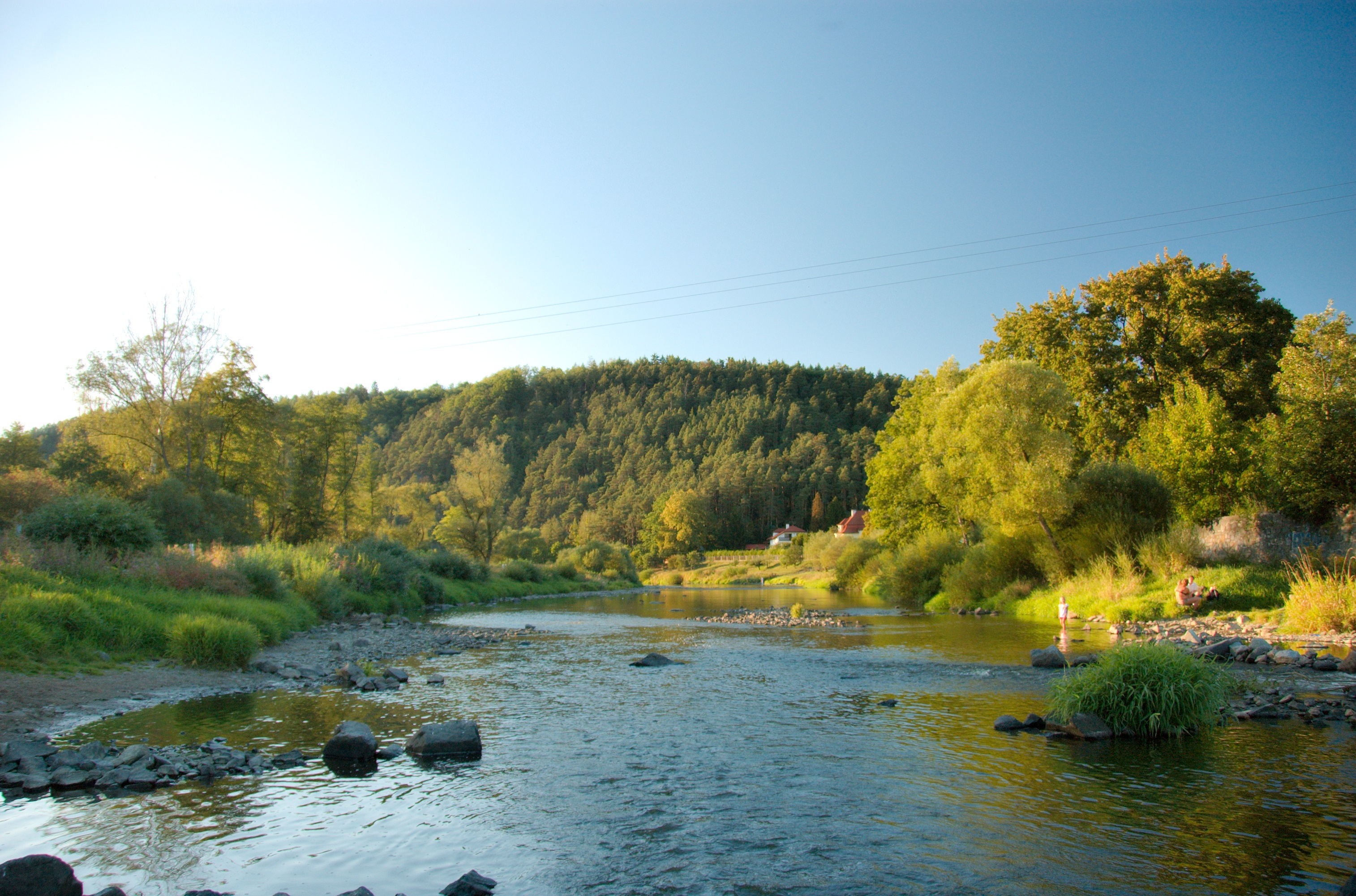
Driving home in Central Bohemia yesterday morning

Jedna golfová
Autumnal walk
Jedna golfová
dsc_5264.jpg

Český Šternberk

749.253, Poříčí nad Sázavou-Svárov, 6. 7. 2013
dsc_5263.jpg
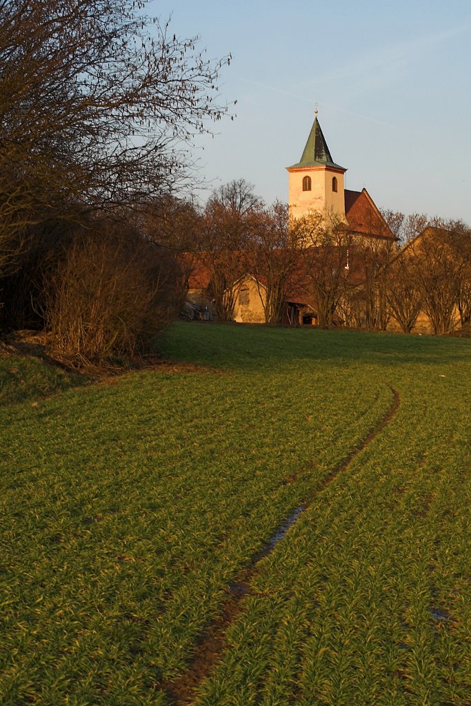
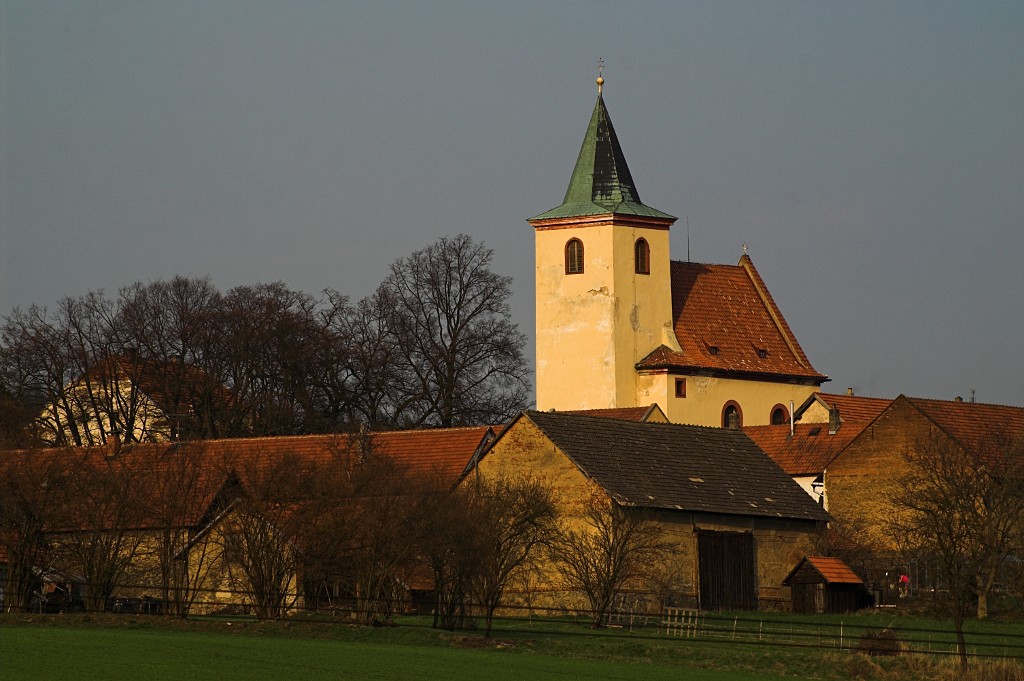
St. Wenceslas Church in Hrusice
Topographic Map of Myslíč 18, 01 Struhařov, Czech Republic
Find elevation by address:

Places near Myslíč 18, 01 Struhařov, Czech Republic:
Myslíč
Hliňánky
Hliňánky 1, 01 Struhařov, Czech Republic
Struhařov
Benešov
Postupice
The Konopiste Castle
Benešov District
Mačovice
Mačovice 14, 22 Vranov, Czech Republic
Vranov
Ratměřice
Javor
Javor 1, 01 Votice, Czech Republic
Ondřejov
Divišov
Ondřejov Observatory
Votice
Beztahov
Beztahov 7, 01 Votice, Czech Republic
Recent Searches:
- Elevation of Corso Fratelli Cairoli, 35, Macerata MC, Italy
- Elevation of Tallevast Rd, Sarasota, FL, USA
- Elevation of 4th St E, Sonoma, CA, USA
- Elevation of Black Hollow Rd, Pennsdale, PA, USA
- Elevation of Oakland Ave, Williamsport, PA, USA
- Elevation of Pedrógão Grande, Portugal
- Elevation of Klee Dr, Martinsburg, WV, USA
- Elevation of Via Roma, Pieranica CR, Italy
- Elevation of Tavkvetili Mountain, Georgia
- Elevation of Hartfords Bluff Cir, Mt Pleasant, SC, USA