Elevation of Pradera Road, Pradera Rd, Odessa, TX, USA

Location: United States > Texas > Ector County > Odessa >

Longitude: -102.37010

Latitude: 31.9482197

Elevation: 913m / 2995feet

Barometric Pressure: 91KPa

Elevation Map:

elevation map of Pradera Road, Pradera Rd, Odessa, TX, USA

Satellite Map:

Satellite map of Pradera Road, Pradera Rd, Odessa, TX, USA

Related Photos:

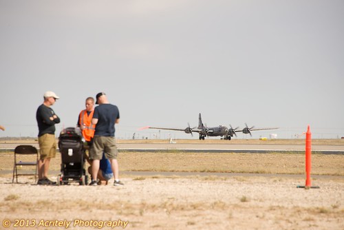
usa texas tx airplanes caf midland airsho2013
B-29 Taxi before takeoff
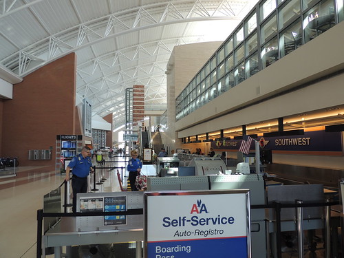
sanfrancisco trip yahoo flickr meetup
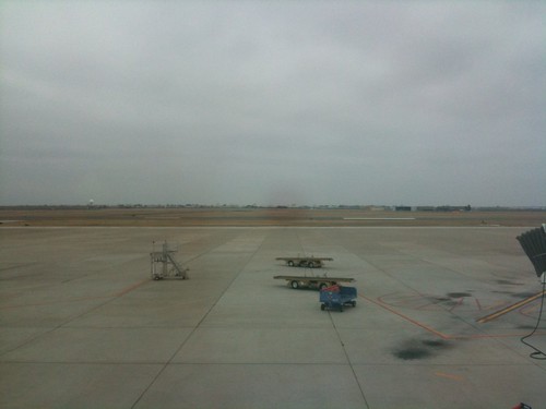
Long view of the rather modest-sized MIdland terminal
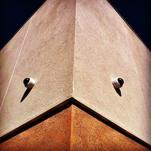
square squareformat mayfair iphoneography instagramapp uploaded:by=instagram foursquare:venue=4f704d49e4b07ec45520db7b
Startling view looking up at the security cameras. Almost amphibious and somewhat alien.
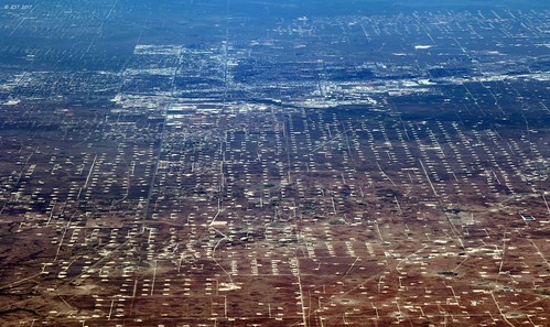
aerial aerialview city commercialflight ectorcounty flight houstontolosangeles iahtolax midlandbasin odessa oilfields oilwells permianbasin texas united unitedairlines vacation vacationdestination windowseat zeesstof
Odessa, TX
texas midland midlandcounty city aerial view
Midland, Texas
texas midland midlandcounty aerial city view
View of Midland
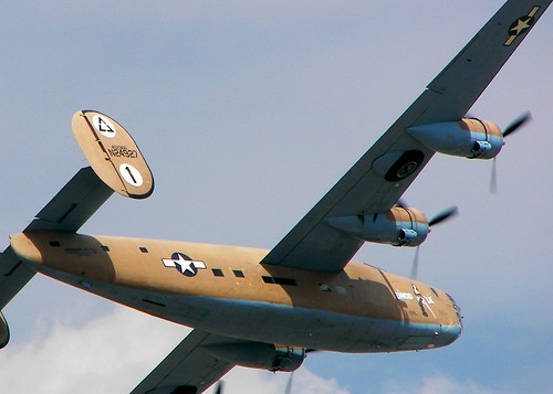
october texas force tx air 2006 diamond airshow consolidated lil caf liberator midland b24 commemorative airsho lb30 am927
"Diamond Lil"
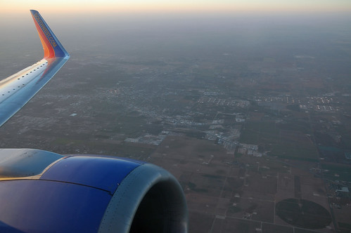
texas midland midlandcounty aerial view southwest airlines 737 boeing737
Departing Midland
texas midland midlandcounty windmill aerial
Wind Farms
usmc fighter military jet olympus marines e3 maf harrier jumpjet militaryaviation av8b midlandtx marinecorpsaviation 1260mm midlandodessaairport
Harrier - Dorsal View
square squareformat earlybird iphoneography instagramapp uploaded:by=instagram
Gonna try the old "needle in the neck trick" to see if I can stop the pain in my left arm. Seeing it from the patient's point-of-view.
square squareformat iphoneography instagramapp uploaded:by=instagram
View from the top of Mt. Locke. #igtexas #FtDavis
texas airshow 2007 commemorativeairforcemidland
B-17
Nice Day
Odessa, July 2018
square squareformat hefe iphoneography instagramapp uploaded:by=instagram foursquare:venue=4db7efadf7b15ca52cded357
Switching. Through the trees.
square squareformat iphoneography instagramapp uploaded:by=instagram
Here is the final image. #photosbyrichard #NightSky #night #stars #star #west #texas #westtexas #sunset @weatherchannel @ilovetexasphoto @instagramtexas
square squareformat mayfair iphoneography instagramapp uploaded:by=instagram foursquare:venue=4ccf604e3e63721e7ef597cc
Buffalo Wallow #odessa #texas
square squareformat mayfair iphoneography instagramapp uploaded:by=instagram foursquare:venue=4db7efadf7b15ca52cded357
Along the tracks. Odessa TX
valencia square squareformat iphoneography instagramapp uploaded:by=instagram
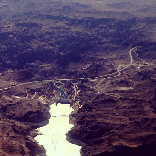
Lake Mead in the foreground. Hoover dam and the highway bypass bridge in the distance. #iphone #southwest #airplaneshot
square squareformat iphoneography instagramapp uploaded:by=instagram
What do you #think about this @adventuregirltx ? It is #freezing but the #landscape is #beautiful! #TioRV #TravelMyPlanet
Odessa, TX Stonehenge
uploaded:by=flickrmobile flickriosapp:filter=nofilter
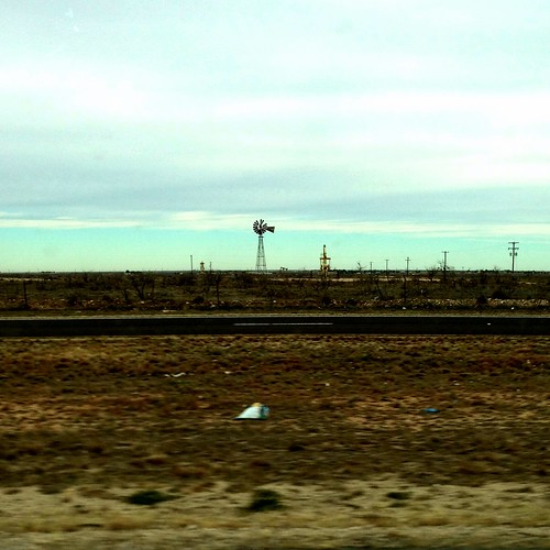
Pumpjack and windmill
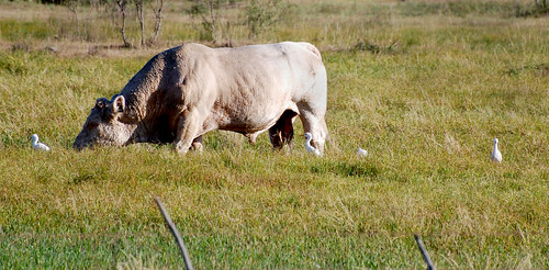
insect cow westtexas egret aroundcampus nikond40x
the entourage
park brown green field grass texas desert
West Texas Green Space
What a day to fly.
square squareformat iphoneography instagramapp uploaded:by=instagram
Dec 1, 2014 Odessa Tx. 1800 hrs
square squareformat iphoneography instagramapp uploaded:by=instagram
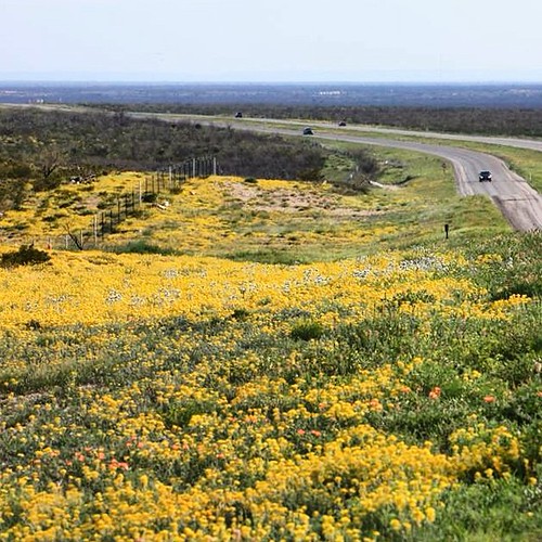
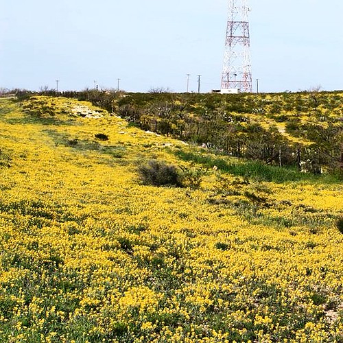
Spring blooms along the highways of West Texas.
square squareformat iphoneography instagramapp uploaded:by=instagram
Spring is yellow in West Texas. #igtexas #iphone #spring
square squareformat iphoneography instagramapp uploaded:by=instagram
That moment when you've waited months to do a vertical landscape and the moon is a no show. #photosbyrichard