Elevation of Poweshiek County, IA, USA
Location: United States > Iowa >
Longitude: -92.539603
Latitude: 41.6530119
Elevation: 271m / 889feet
Barometric Pressure: 98KPa
Elevation Map:
Satellite Map:
Related Photos:
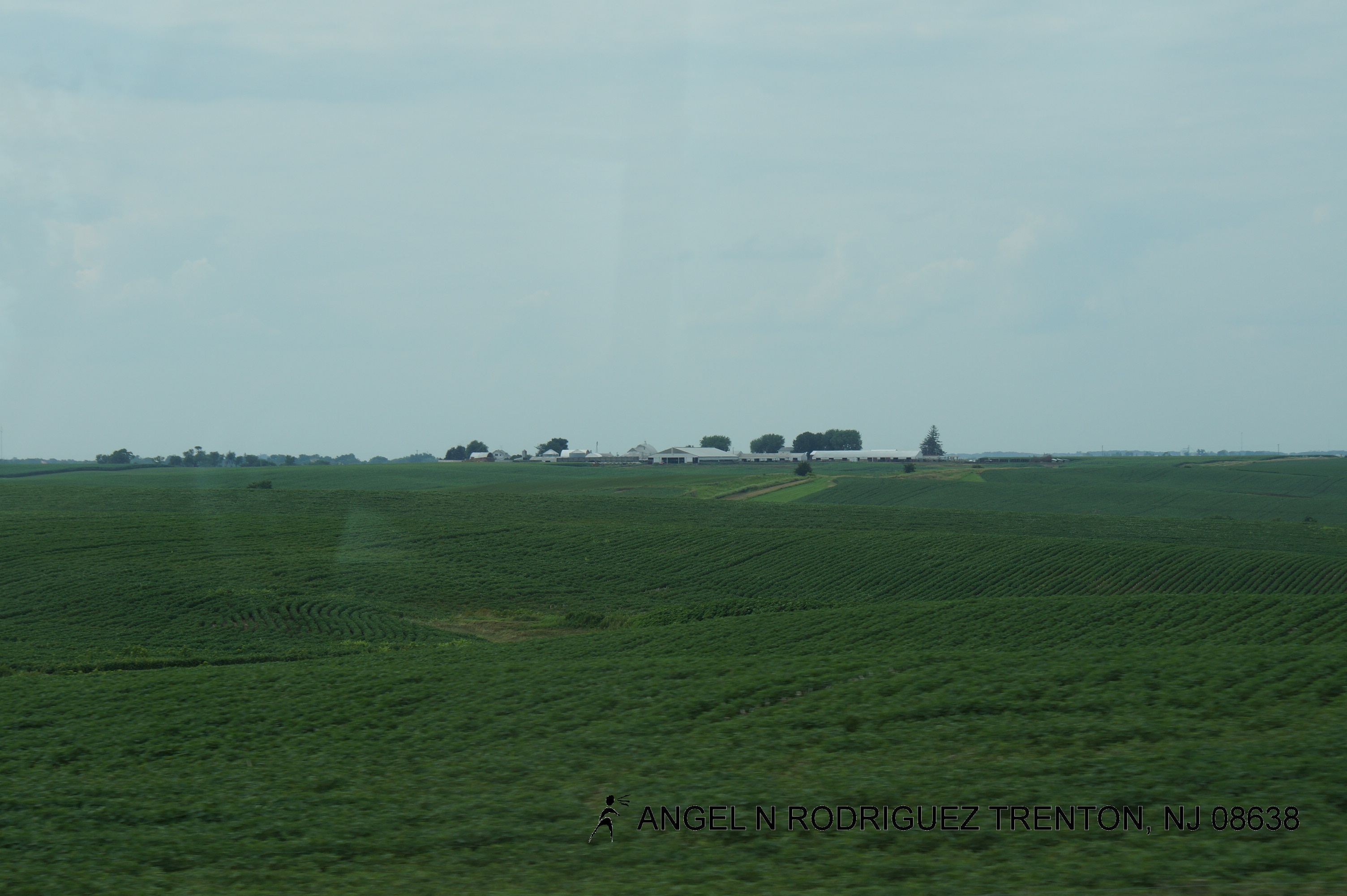
Mile 189
351: letting go

Day 552: Stars & Streaks
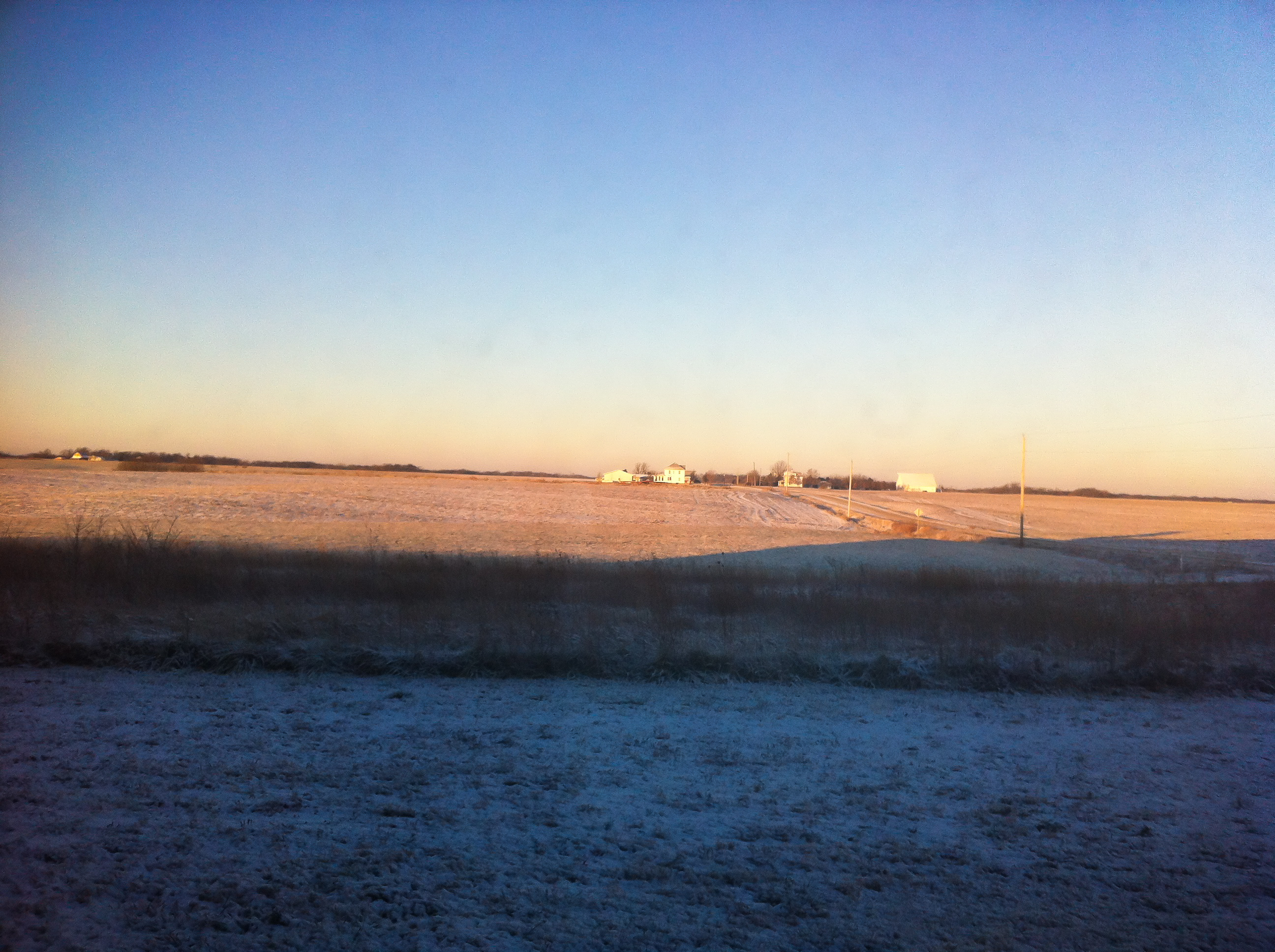
midwestern twilight
HLV at Montezuma Baseball Field 6-15-15 19
Road Trip - Grinell Iowa

Storm Front
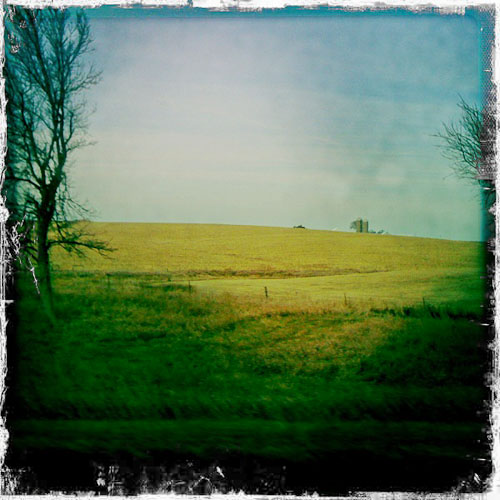
Road Trip - Iowa I-80
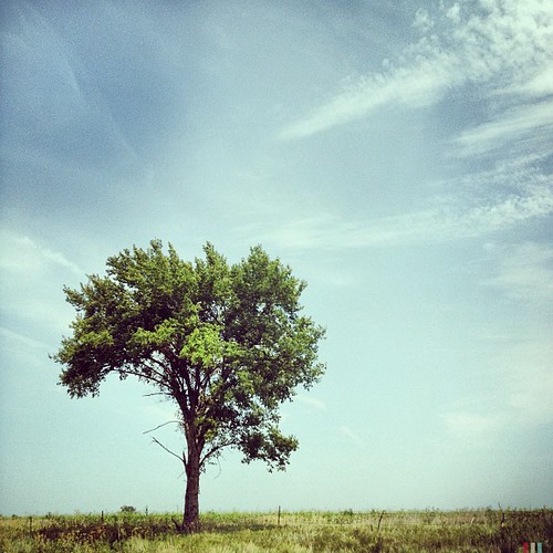
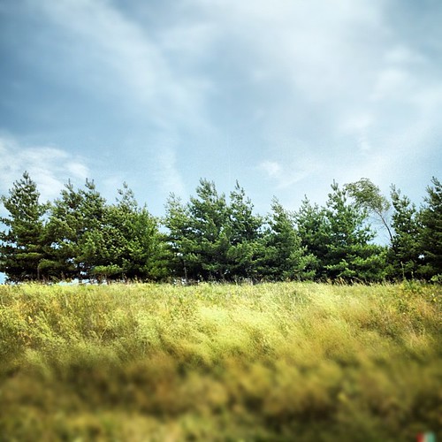
#tree #iowa #igdaily #instagood #instamood #instamatic #instagroove #photooftheday #bestoftheday #picoftheday #roadtrip #midwest #landscape
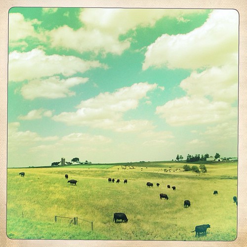
Cattle Life #iowa #farm #cow #landscape #igdaily #instapic #instagood #instamood #iphone #photooftheday #globalnomads
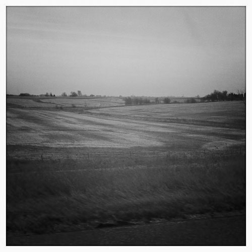
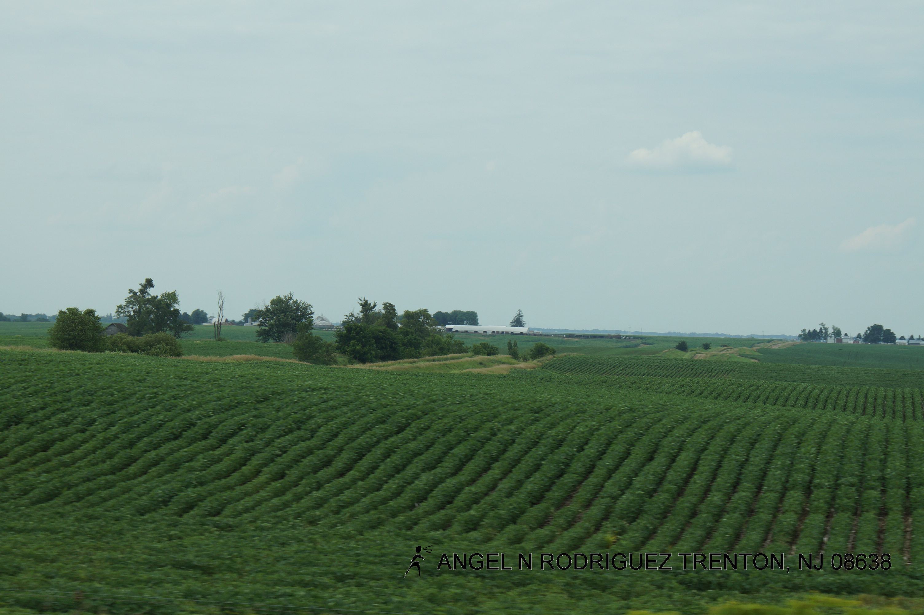
Midwest Textures #iowa #midwest #igdaily #instagood #instamood #instamatic #instagroove #photooftheday #bestoftheday #statigram #iphone #roadtrip
12-02-11_Altheas-iPhone_016
DSC_4527.jpg

DSC_4507.jpg
Roadtex pictures
Roadtex pictures
Topographic Map of Poweshiek County, IA, USA
Find elevation by address:

Places in Poweshiek County, IA, USA:
Places near Poweshiek County, IA, USA:
Pleasant
N Front St, Montezuma, IA, USA
Bear Creek
764 470th Ave
241 Jackson St
Brooklyn
Broadway St, Barnes City, IA, USA
Barnes City
Deep River
Main St, Deep River, IA, USA
Pleasant Grove
Deep River
Grinnell
Jacob Krumm Nature Preserve
1st St, Lynnville, IA, USA
Lynnville
Lynn Grove
Clay St, Grinnell, IA, USA
Hartford
Chelsea
Recent Searches:
- Elevation of Corso Fratelli Cairoli, 35, Macerata MC, Italy
- Elevation of Tallevast Rd, Sarasota, FL, USA
- Elevation of 4th St E, Sonoma, CA, USA
- Elevation of Black Hollow Rd, Pennsdale, PA, USA
- Elevation of Oakland Ave, Williamsport, PA, USA
- Elevation of Pedrógão Grande, Portugal
- Elevation of Klee Dr, Martinsburg, WV, USA
- Elevation of Via Roma, Pieranica CR, Italy
- Elevation of Tavkvetili Mountain, Georgia
- Elevation of Hartfords Bluff Cir, Mt Pleasant, SC, USA