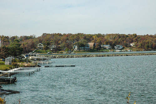
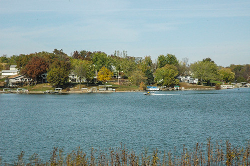
Elevation of Barnes City, IA, USA
Location: United States > Iowa > Mahaska County > Pleasant Grove >
Longitude: -92.468241
Latitude: 41.5083371
Elevation: 279m / 915feet
Barometric Pressure: 98KPa
Related Photos:
Topographic Map of Barnes City, IA, USA
Find elevation by address:

Places in Barnes City, IA, USA:
Places near Barnes City, IA, USA:
Broadway St, Barnes City, IA, USA
Pleasant Grove
N Front St, Montezuma, IA, USA
Deep River
Deep River
Main St, Deep River, IA, USA
What Cheer
East Briney Street, What Cheer, IA, USA
Poweshiek County
Pleasant
Washington
764 470th Ave
Bear Creek
241 Jackson St
Brooklyn
Adams
Keomah Village
Dayton
379-377
S Irons St, Keswick, IA, USA
Recent Searches:
- Elevation of Corso Fratelli Cairoli, 35, Macerata MC, Italy
- Elevation of Tallevast Rd, Sarasota, FL, USA
- Elevation of 4th St E, Sonoma, CA, USA
- Elevation of Black Hollow Rd, Pennsdale, PA, USA
- Elevation of Oakland Ave, Williamsport, PA, USA
- Elevation of Pedrógão Grande, Portugal
- Elevation of Klee Dr, Martinsburg, WV, USA
- Elevation of Via Roma, Pieranica CR, Italy
- Elevation of Tavkvetili Mountain, Georgia
- Elevation of Hartfords Bluff Cir, Mt Pleasant, SC, USA
