Elevation of Potomak Trail, Winchester, VA, USA
Location: United States > Virginia > Winchester >
Longitude: -78.344772
Latitude: 39.183659
Elevation: 310m / 1017feet
Barometric Pressure: 98KPa
Elevation Map:
Satellite Map:
Related Photos:
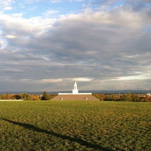
ELEVATED SCENERY
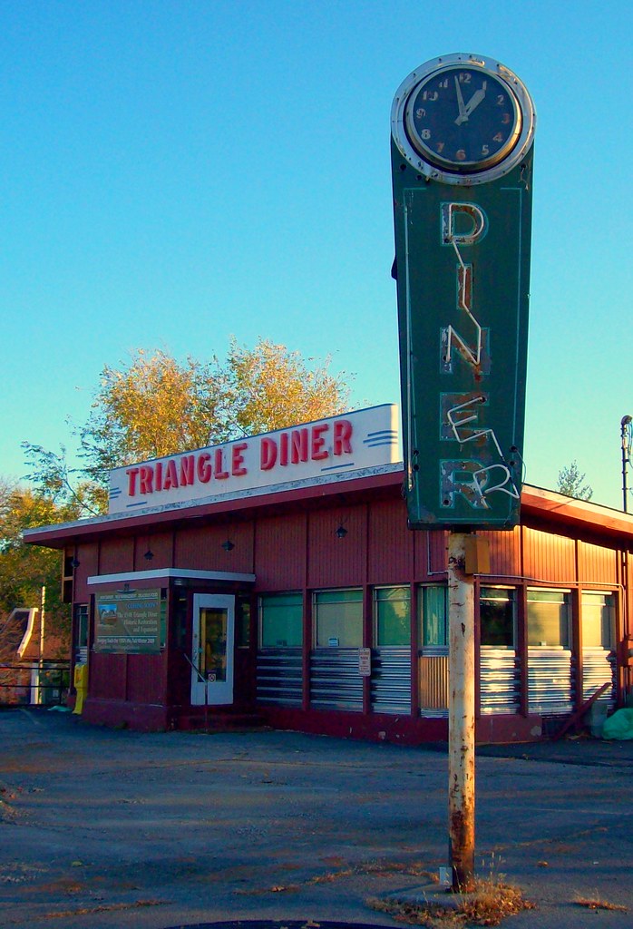
Triangle Diner

INDIAN HOLLOW

Over 800 views! Thanks everyone
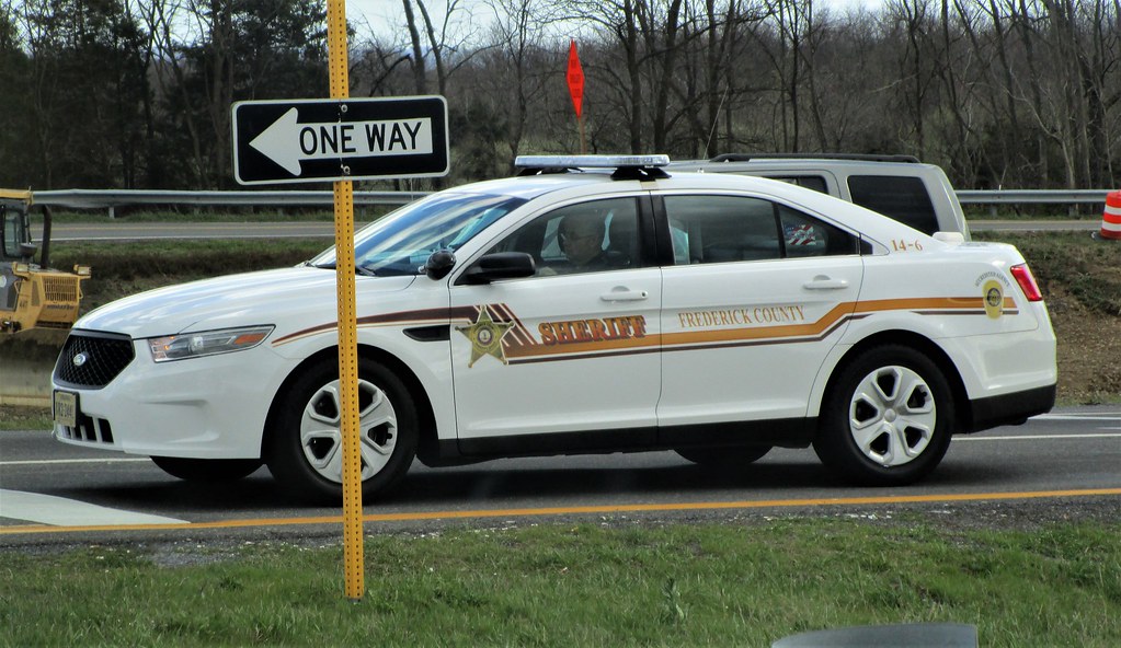
Frederick County Sheriff's Office 2014 Ford Police Interceptor Sedan
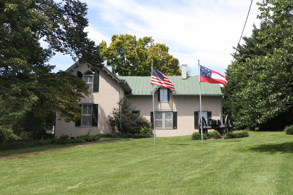
Stonewall Jackson's Headquarters Museum
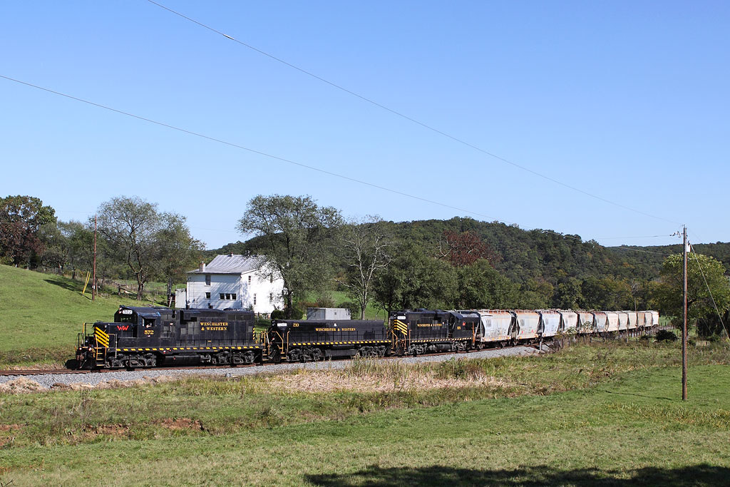
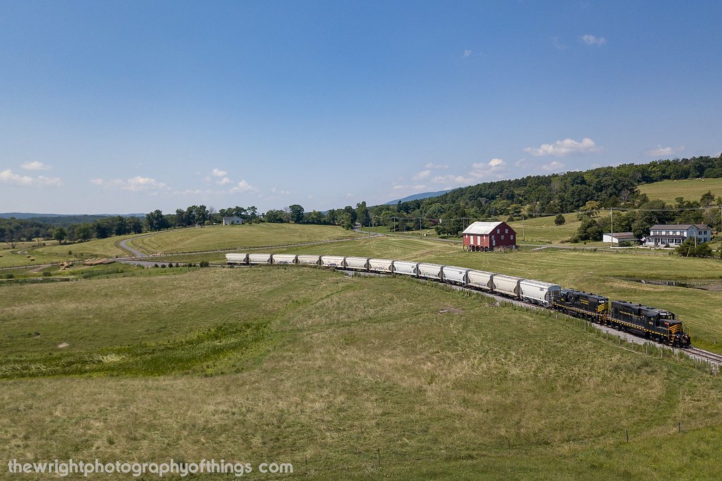
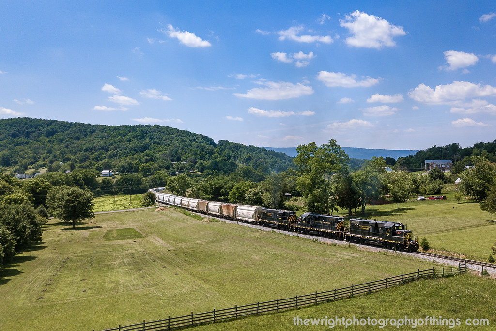
Winchester & Western WB Sand Man, Indian Hollow, VA
House at Duncan Park
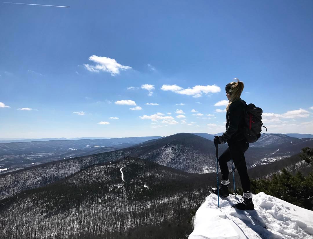
We weren't expecting the waist-deep snow-drifts... neither were my shoes, but this view made it worth the pain.???? (debatably)
FRONT YARD VIEW

Fisheye view of Winchester, Virginia

Kernstown Battlefield - View from Pritchard's Hill
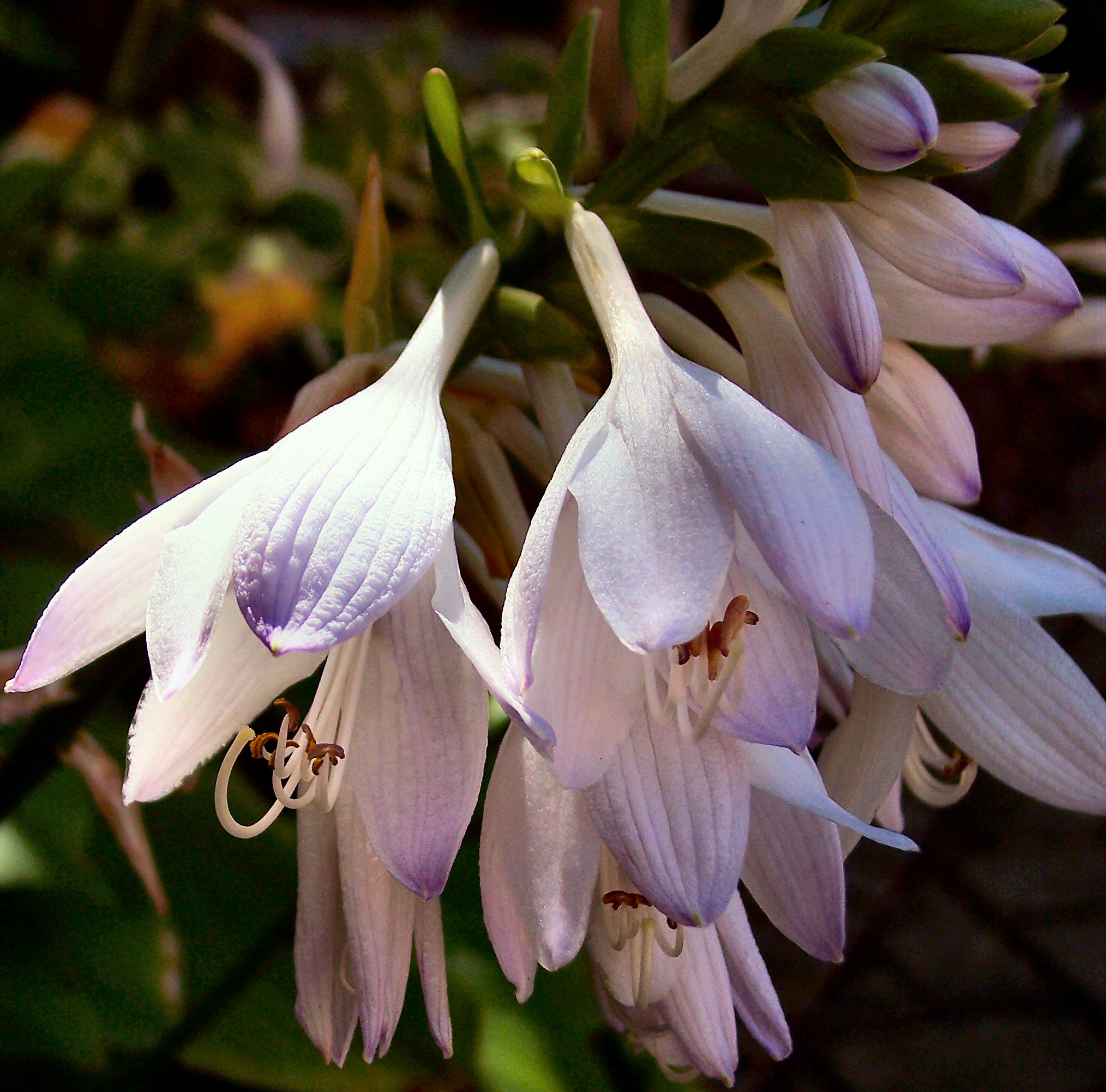
Flower of the Hosta

Yellow Kitchen

Old Frederick County (VA) Courthouse, Back View

Daisies III

All Fried Out
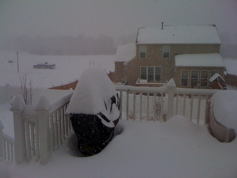
View out the backdoor: Snowmaggedeon!

Taking in the view from the #frontporch of the #oldredstore in #caponsprings

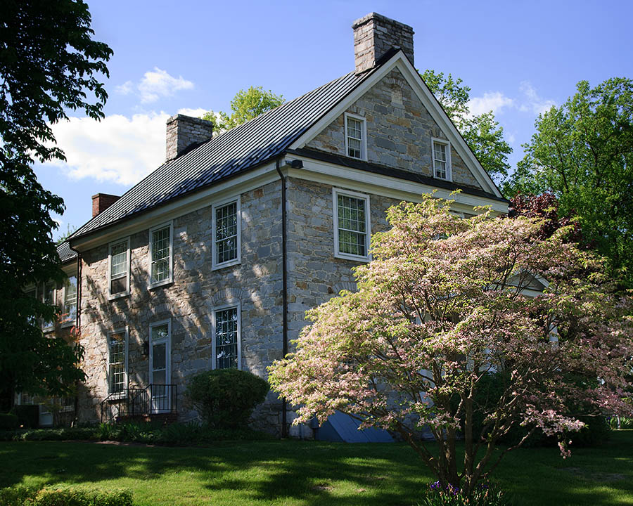
The house
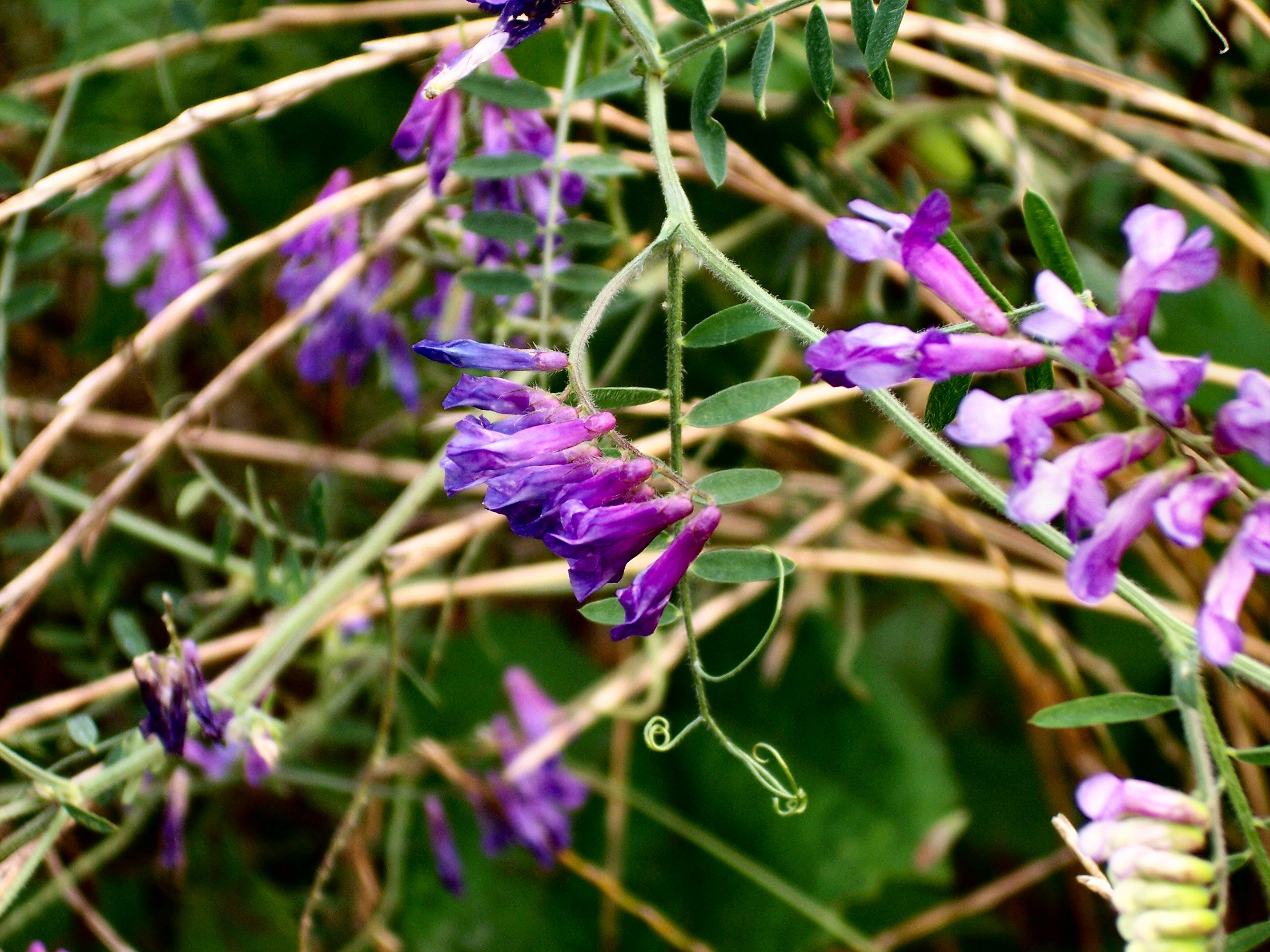
Purple Wild Flowers
VIRGINIA HIGHLANDS
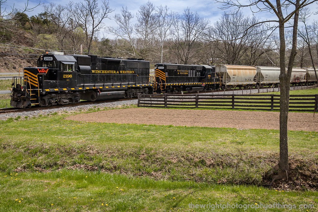
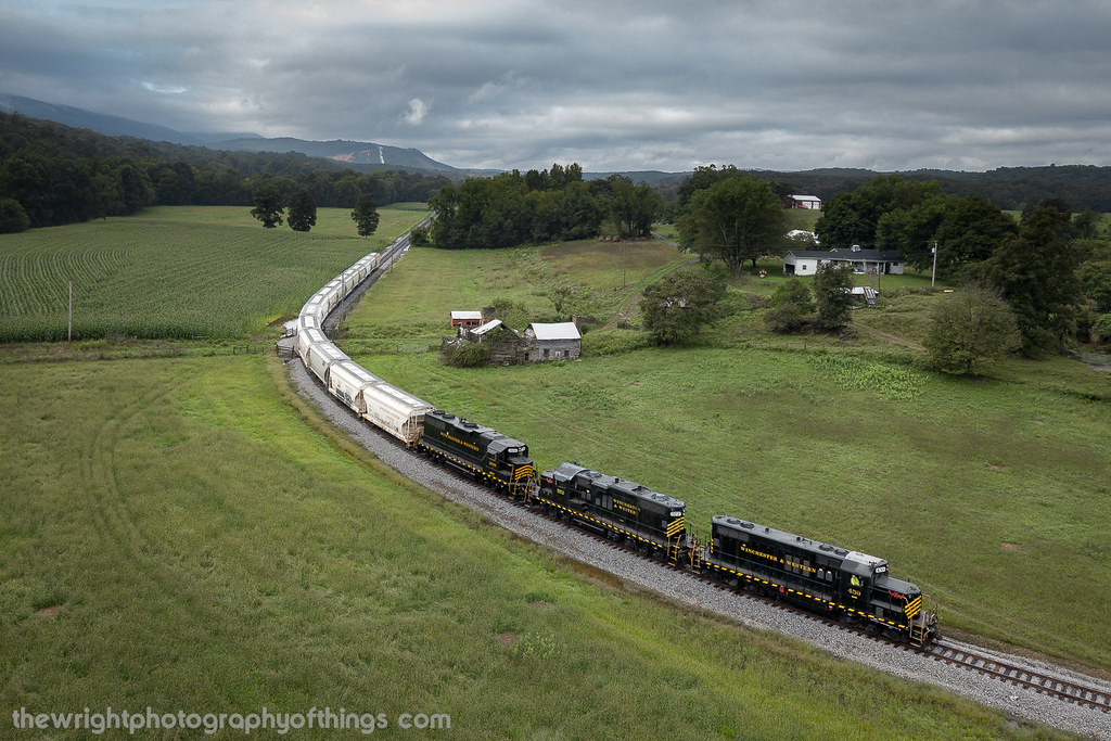
INDIAN HOLLOW

GIVING ALL THEY GOT
FILTERED HEIGHTS
Sunrise over NSSA
INTO THE SUN

Fort Loudon
UP ROUND HILL

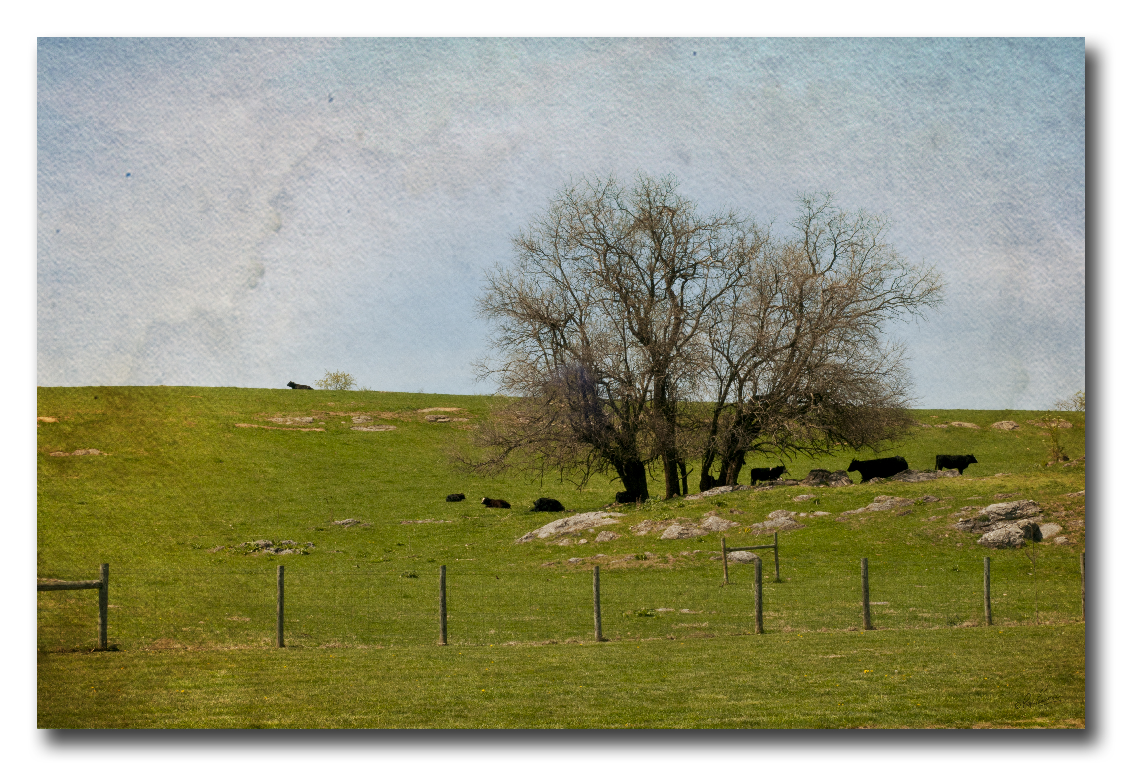
VALLEY FARMLAND

Spring fed race at the Museum of the Shenandoah Valley
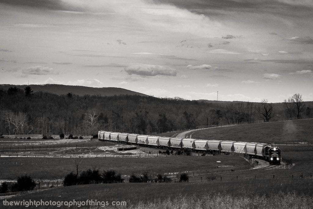
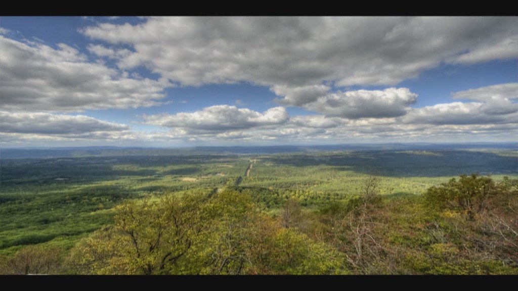
UP THE VALLEY (EXPLORED 9/15/18)
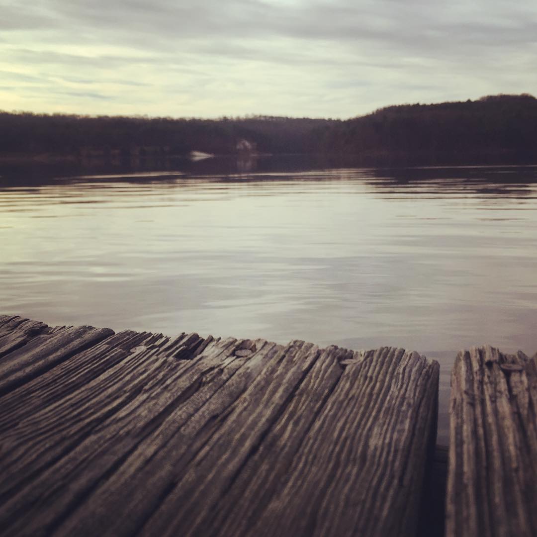
Dock #crossjunction #virginia
2010-10-04
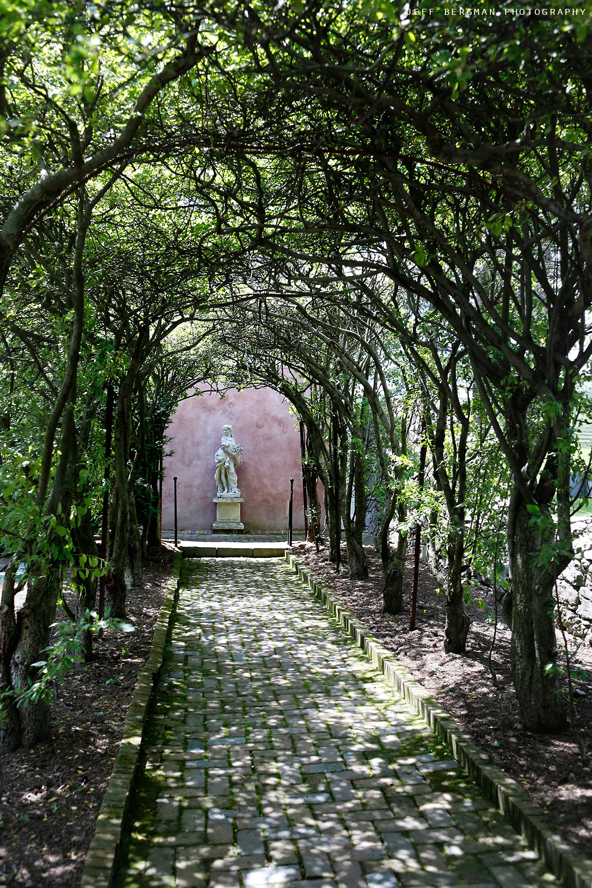
Glen Burnie Gardens - Pleached Alee

GAP RUN
The cove camp grounds
The cove camp grounds
Pastoral scene with texture
My favorite view in town. #handley #highschool #shadow #evening #latergram #winchester #virginia
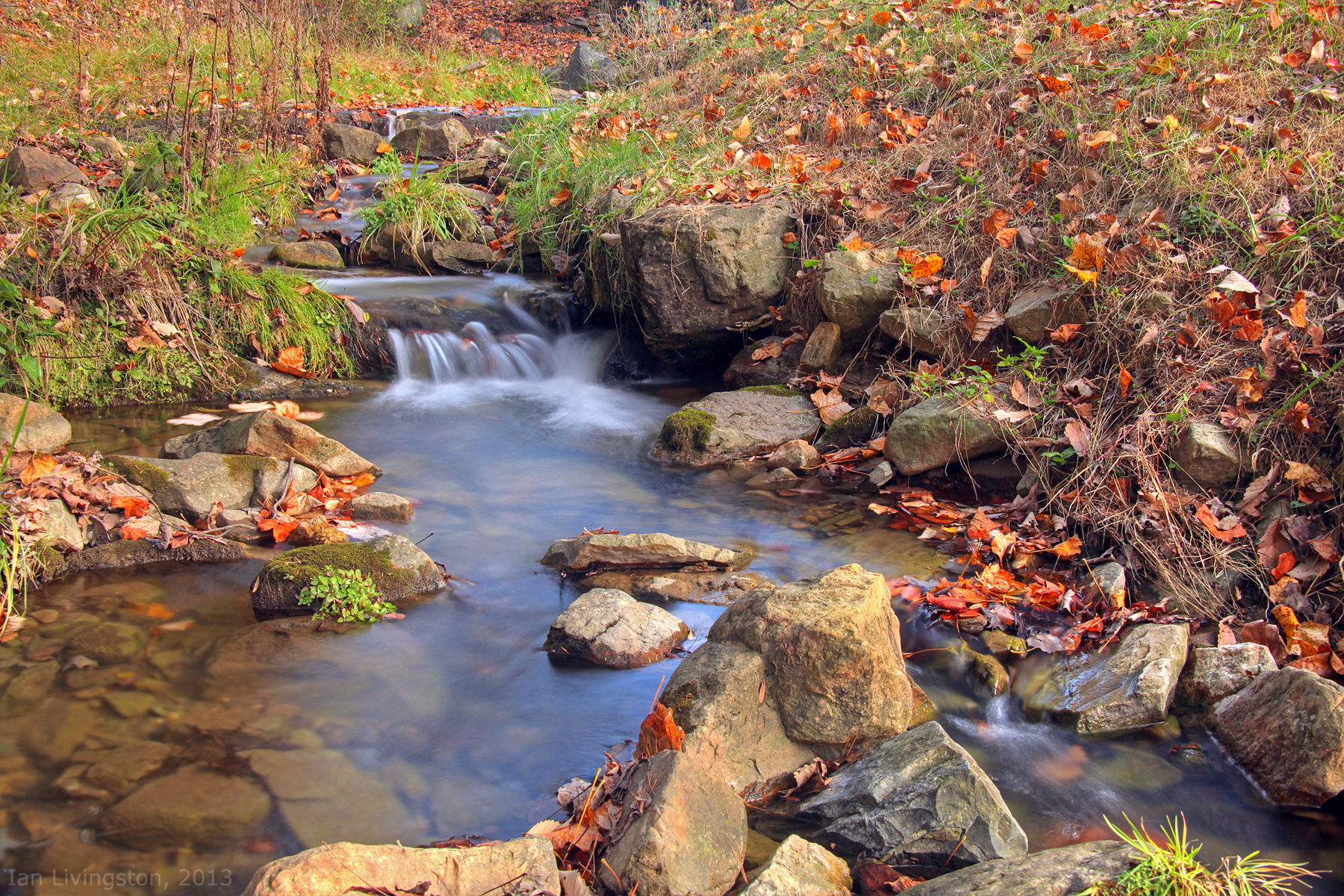
Fall at the creek within Capon Springs and Farms
Topographic Map of Potomak Trail, Winchester, VA, USA
Find elevation by address:

Places near Potomak Trail, Winchester, VA, USA:
Back Mountain Road
Back Creek
Budwood Trail
3266 Back Mountain Rd
Greenway Ct, Winchester, VA, USA
Wardensville Grade, Winchester, VA, USA
650 Gough Rd
650 Gough Rd
639 Cardinal Dr
Valley View Trail
1580 Wardensville Grade
236 Delmas Trail
236 Delmas Trail
236 Delmas Trail
4689 Cedar Creek Grade
Wardensville Grade, Winchester, VA, USA
527 Mcdonald Ln
502 Indian Rock Rd
Middle Rd, Middletown, VA, USA
184 C W Cir
Recent Searches:
- Elevation of Corso Fratelli Cairoli, 35, Macerata MC, Italy
- Elevation of Tallevast Rd, Sarasota, FL, USA
- Elevation of 4th St E, Sonoma, CA, USA
- Elevation of Black Hollow Rd, Pennsdale, PA, USA
- Elevation of Oakland Ave, Williamsport, PA, USA
- Elevation of Pedrógão Grande, Portugal
- Elevation of Klee Dr, Martinsburg, WV, USA
- Elevation of Via Roma, Pieranica CR, Italy
- Elevation of Tavkvetili Mountain, Georgia
- Elevation of Hartfords Bluff Cir, Mt Pleasant, SC, USA