Elevation of Porvenir, Costa Rica
Location: Costa Rica > Alajuela > San Carlos >
Longitude: -84.426457
Latitude: 10.2893351
Elevation: 1006m / 3301feet
Barometric Pressure: 90KPa
Elevation Map:
Satellite Map:
Related Photos:
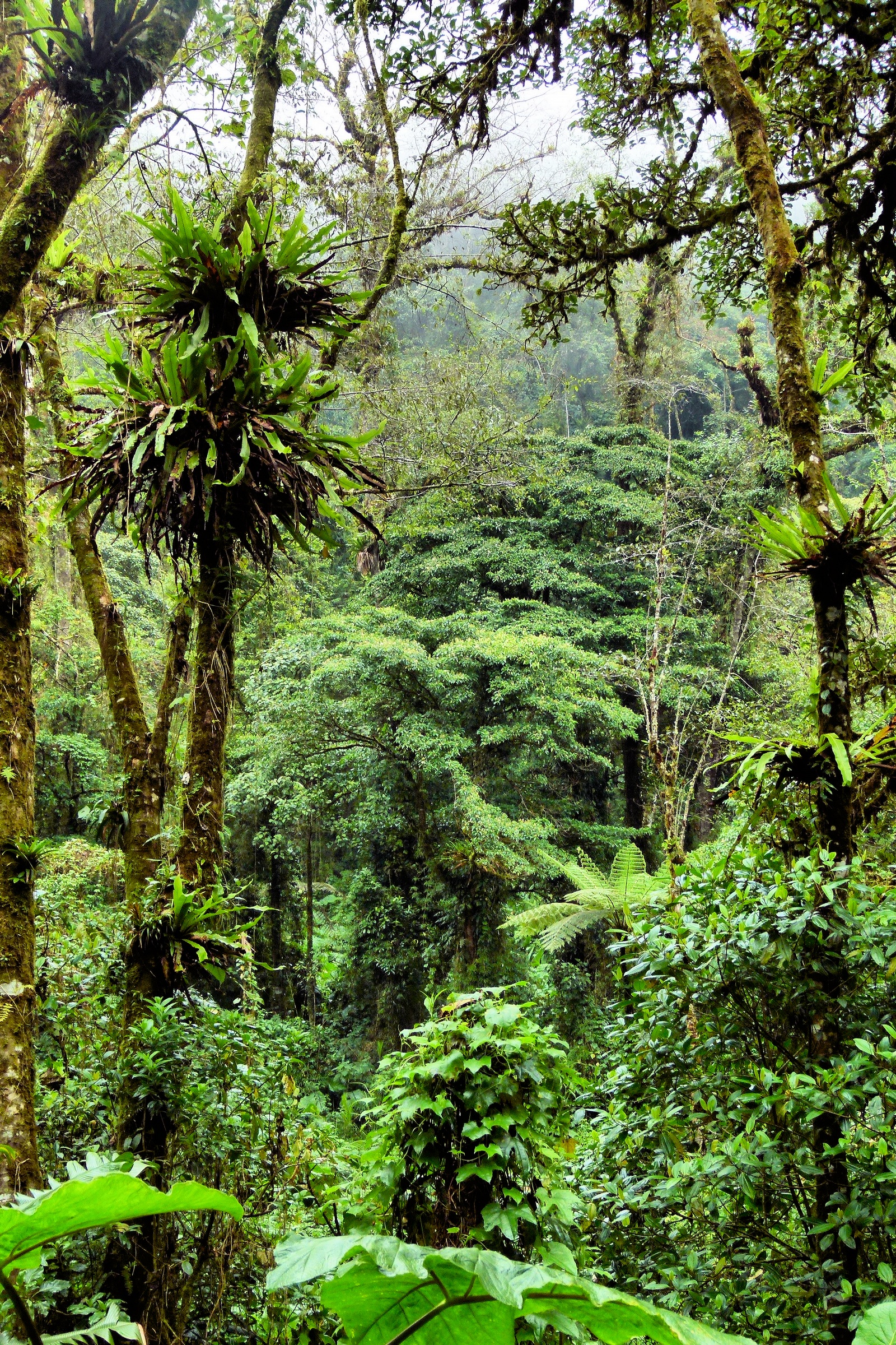
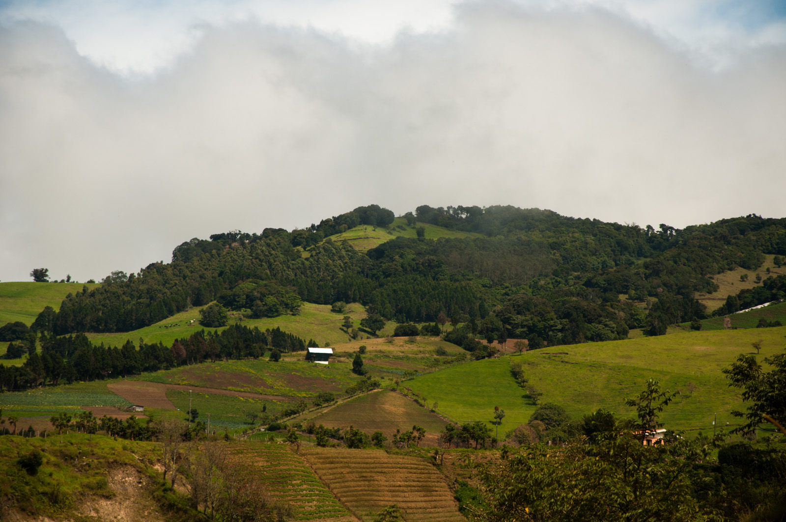
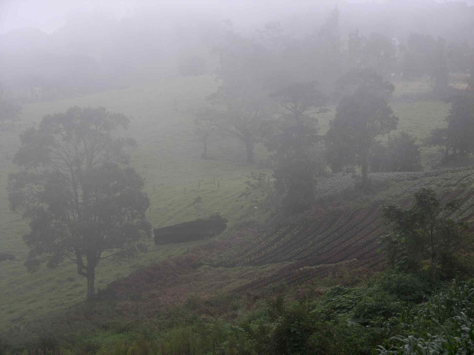
Cloud forest view
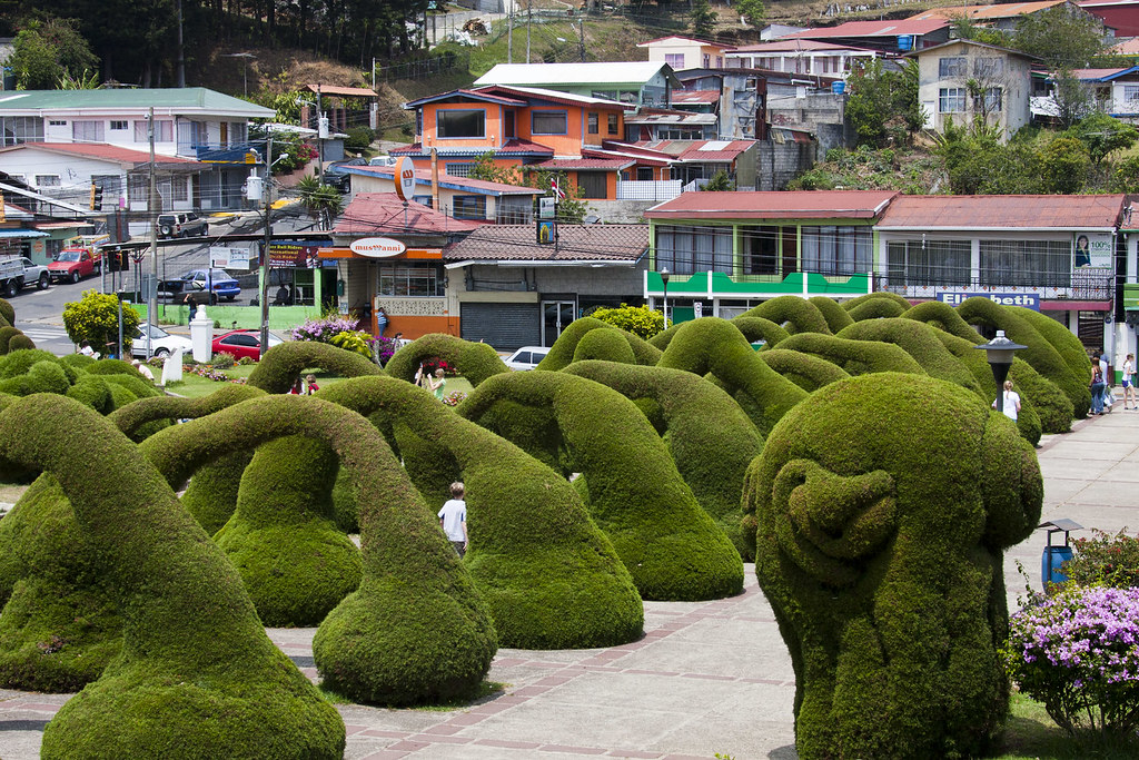
Topiary Arches (2) in Zarcero, Costa Rica (published)

View from our cloud Forrest resort. That's Arenal wayyyy in the back.

Vacas con vista

Zarcero Church
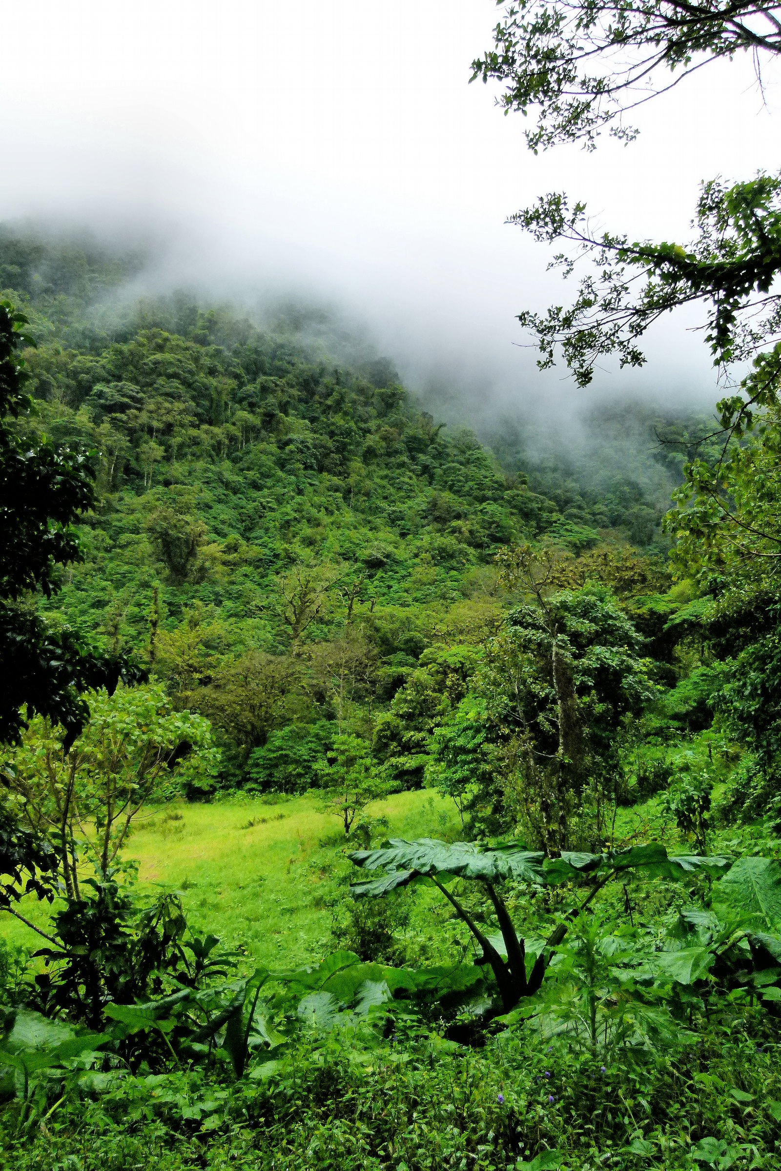
Cloud forest view

Cloud forest view

One last view of the Chapel

View from the chapel

A view over the edge
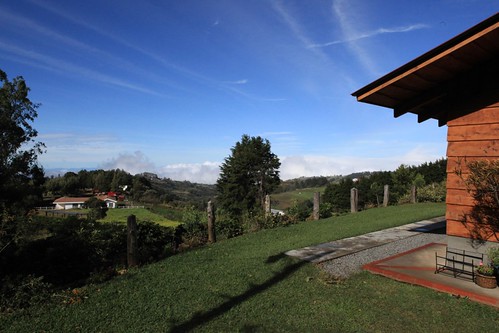
View in the morning from the cabinas near Helsar del Zarcero, Costa Rica
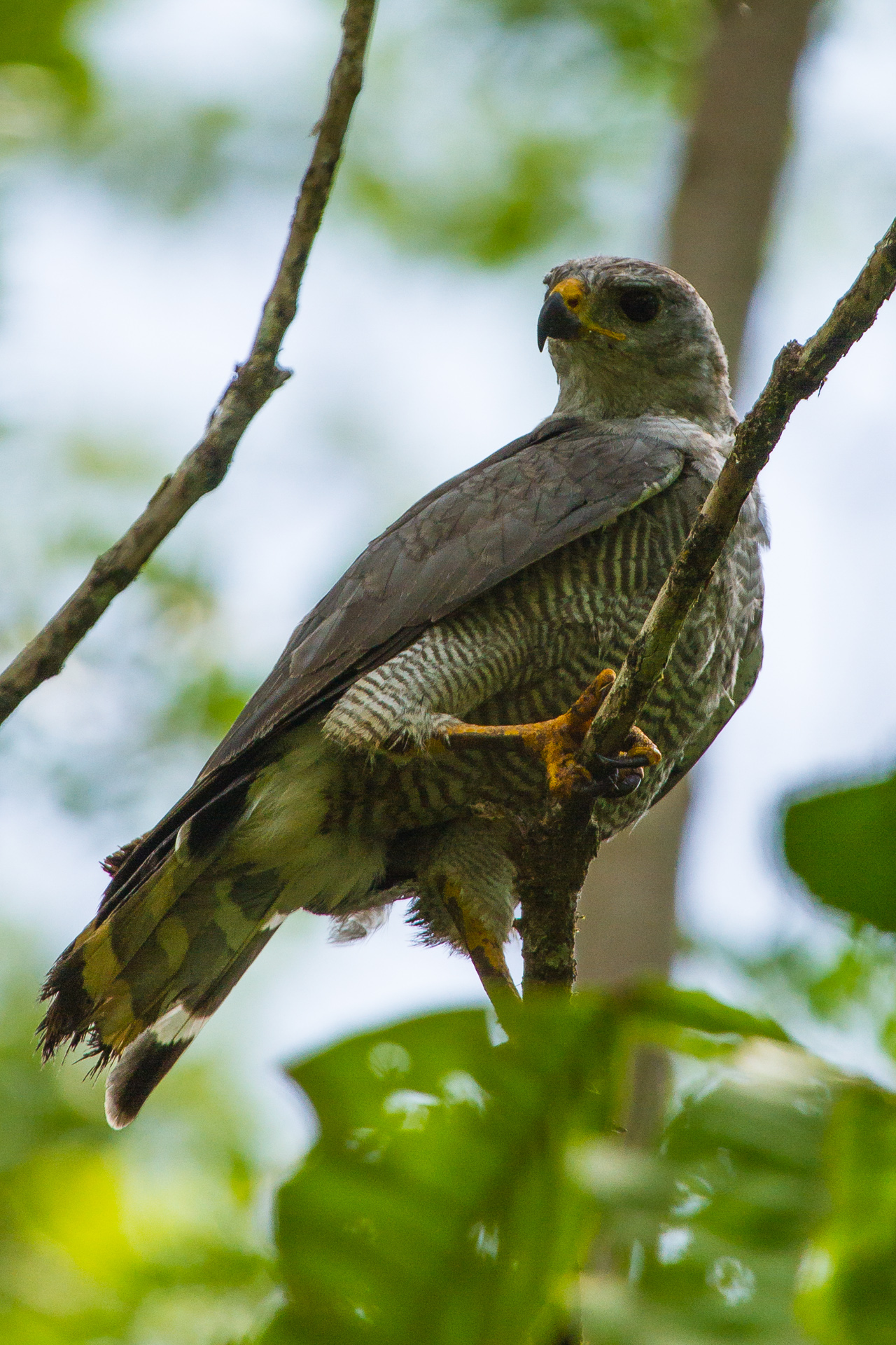
Grey Hawk, Costa Rica
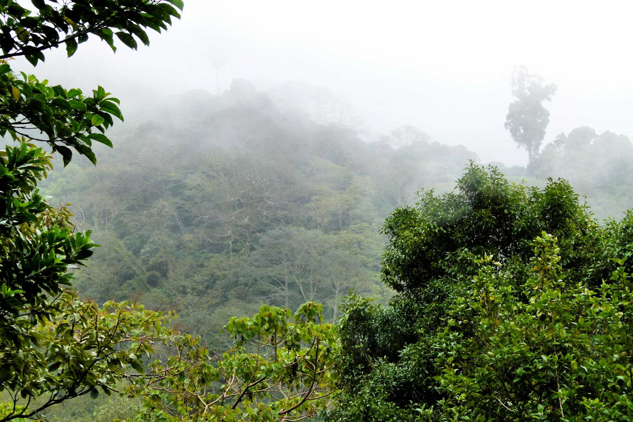
Cloud forest view

The road at night
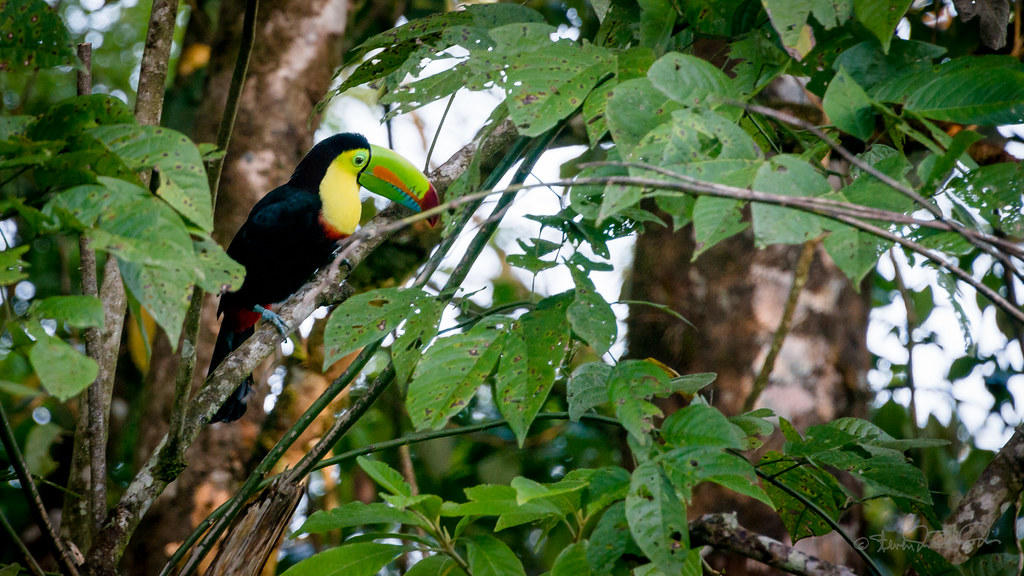
Keel-billed Tucan
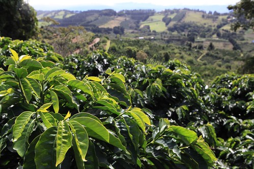
Catuai coffee and valley view at Claudio Salazar farm, Zarcero

On the second platform
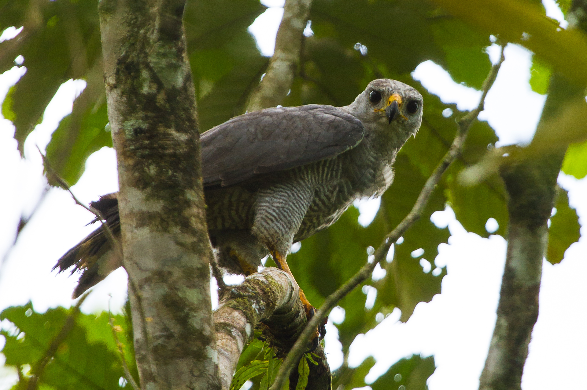
Grey Hawk II, Costa Rica

Magenta-throated Woodstar
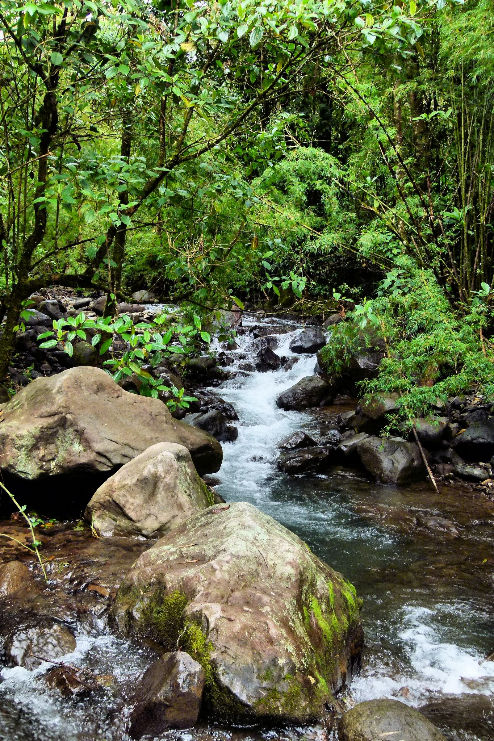
River through the reserve
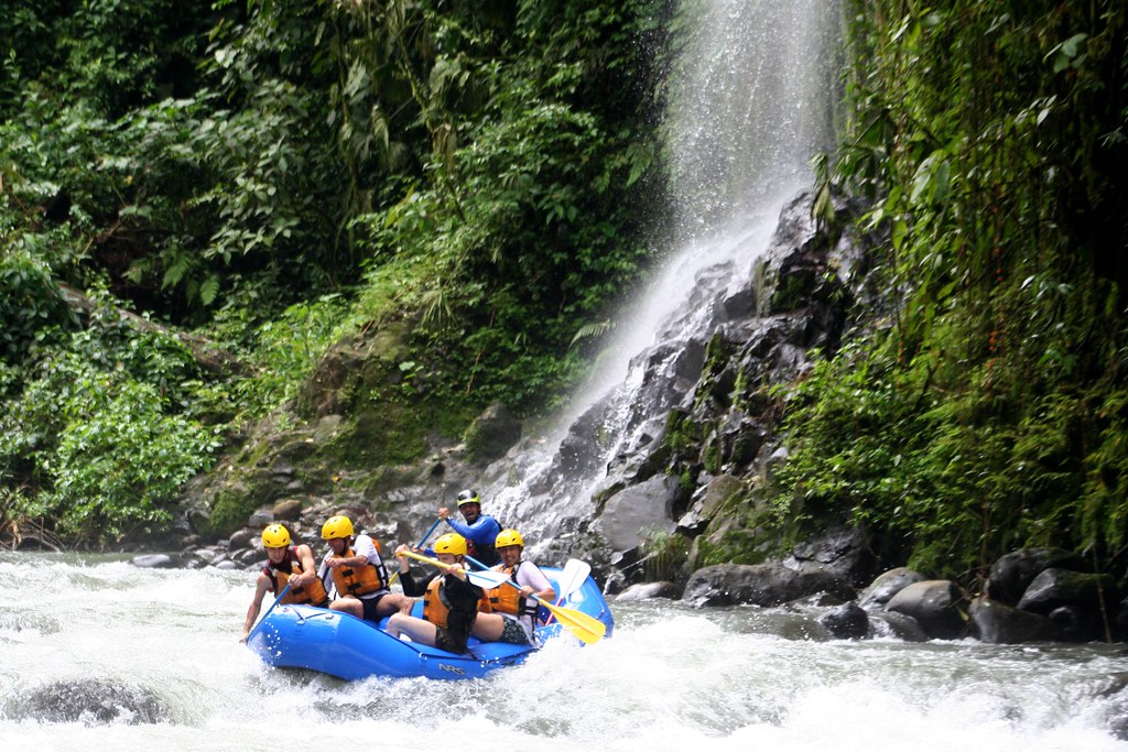
Alto Balsa white waters rafting
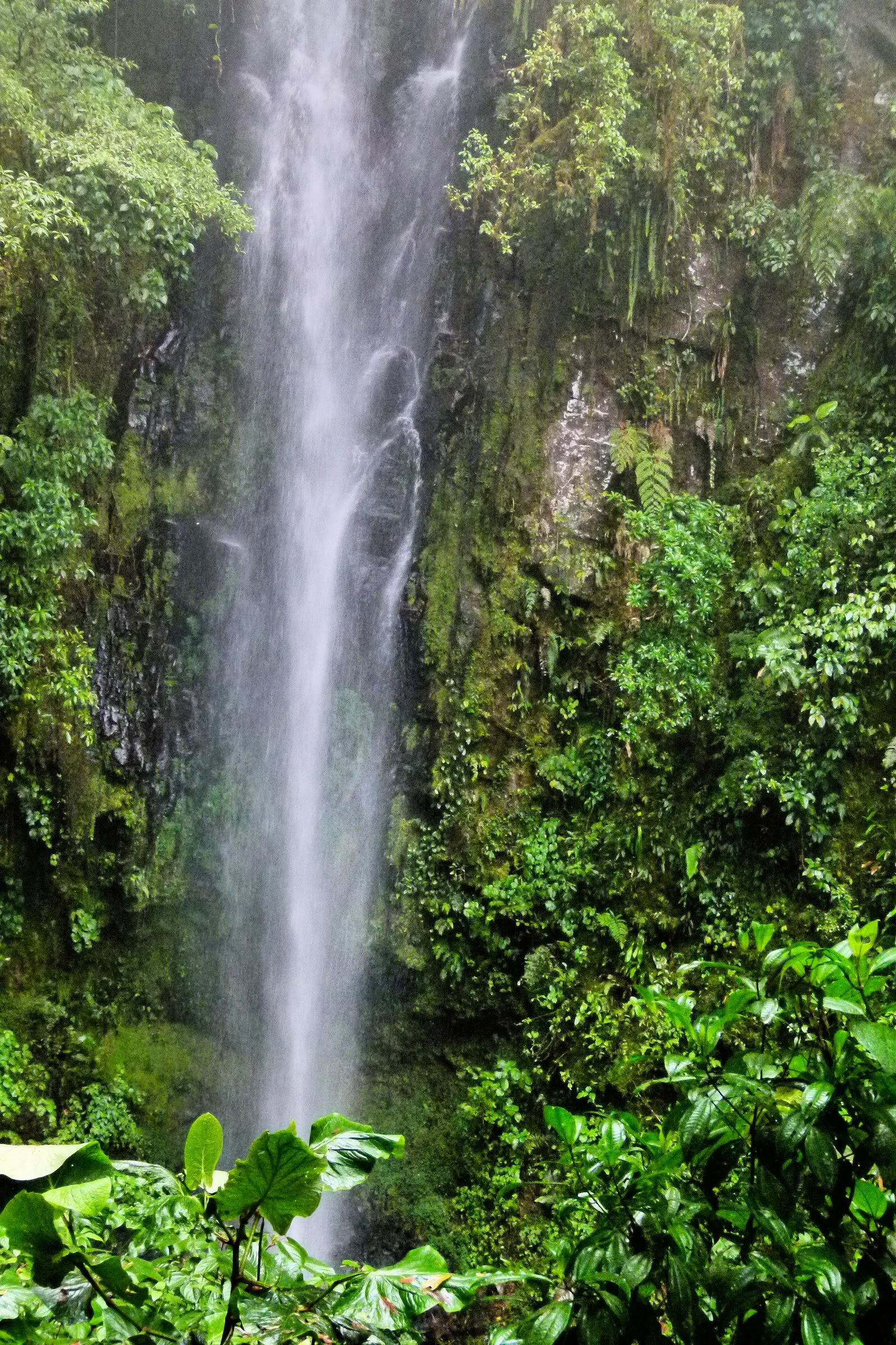
Waterfall on the reserve
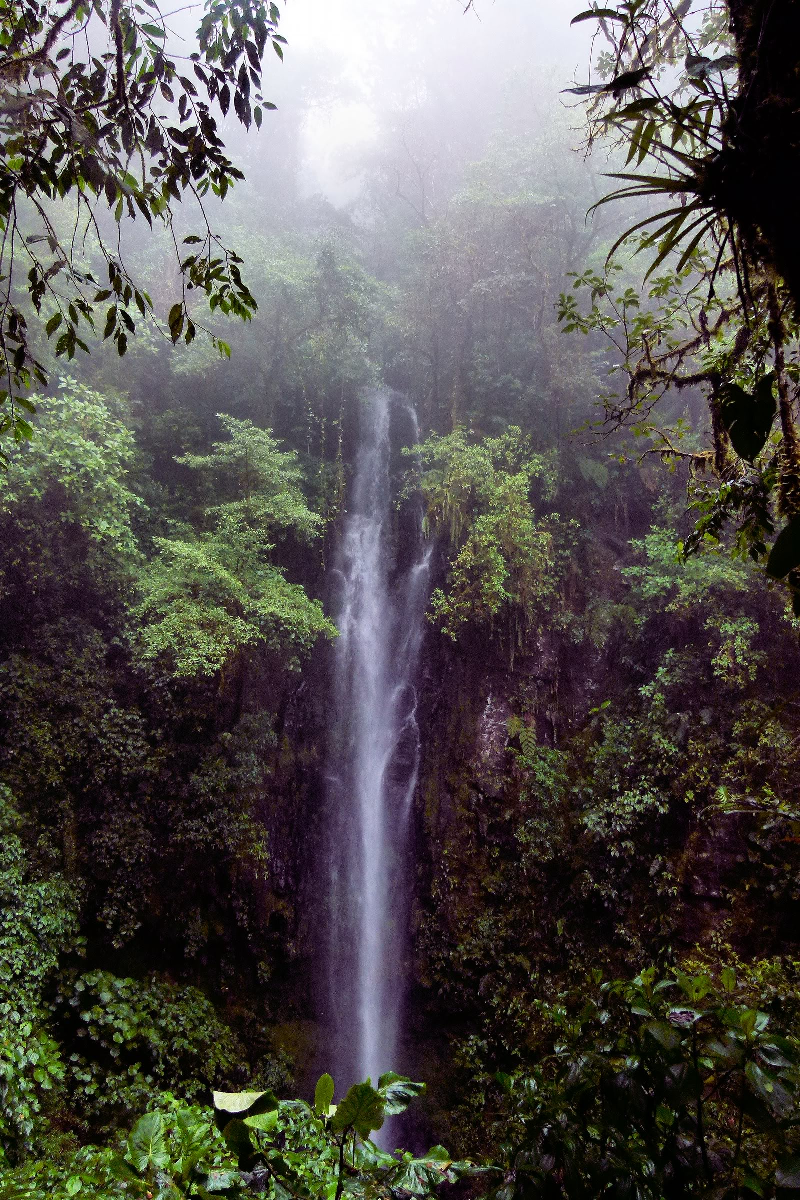
Waterfall on the reserve

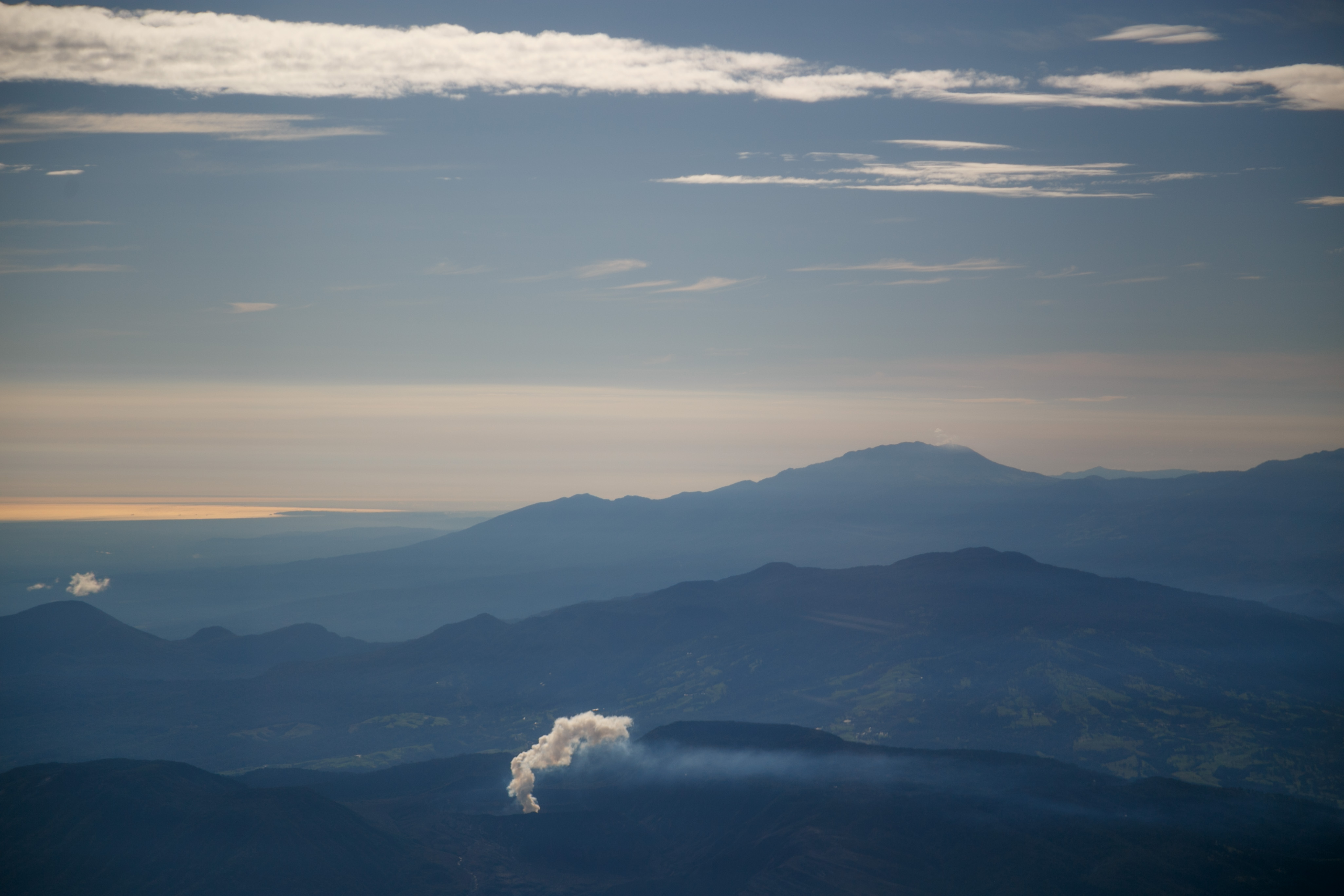
Volcán Arenal

Great Kiskadee

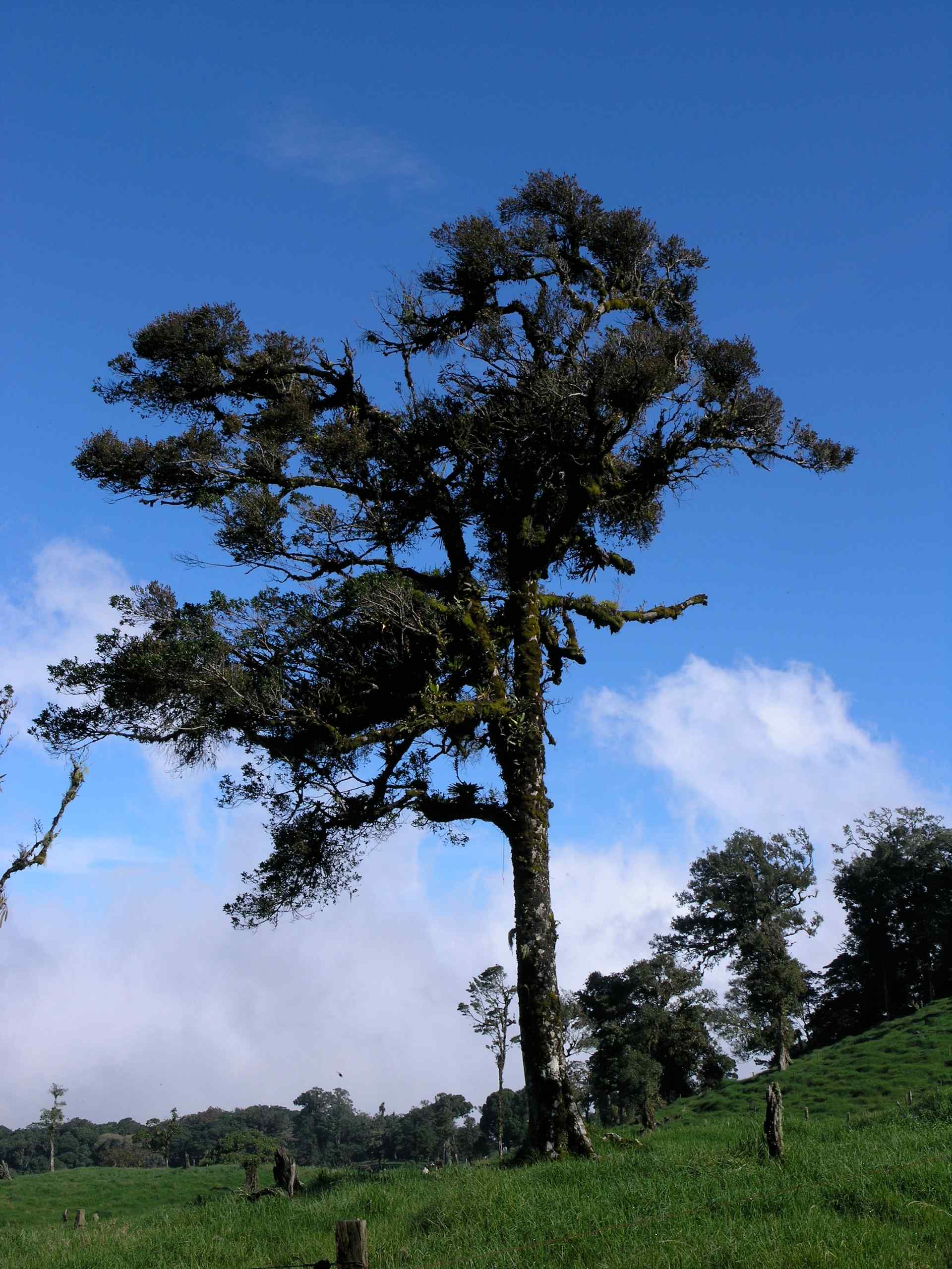
Costa Rican scene

Land of Green
Lone House
Costa Rica

Simply Beautiful
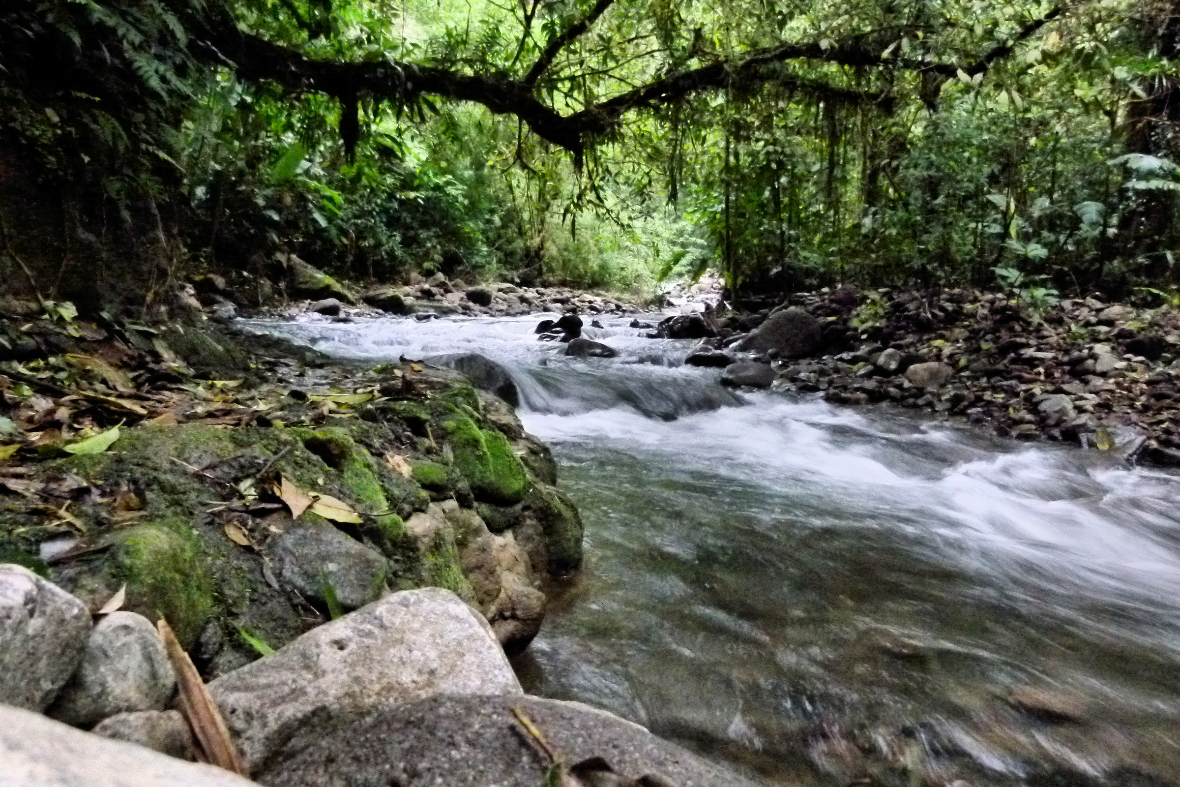
River through the reserve
Cerca de San Vicente, cerca de Ciudad Quezada, Alajuela, Costa Rica
What's left - Lo que se queda; Alajuela, Costa Rica

Tropical Alder Trees

Little Orange Fruit Full Of Seeds
Topographic Map of Porvenir, Costa Rica
Find elevation by address:

Places in Porvenir, Costa Rica:
Places near Porvenir, Costa Rica:
Puente Río Peje
Quesada
San Vicente Hideaway
Alfaro Ruiz
Barrio San Juan
Provincia de Alajuela, San Carlos, Costa Rica
Provincia de Alajuela, San Carlos, Costa Rica
La Marina
Alajuela
Villa Blanca Cloud Forest Resort And Nature Reserve
Alfaro Ruiz
Librería Zarcero
Naranjo
Volio
El Invu San Isidro
Escuela Bajo La Paz
Piedades Norte
Savegre Mountain Hotel Hotel
San Ramón
Centro Comunidad Cristiana, Bajo Tejares
Recent Searches:
- Elevation of Corso Fratelli Cairoli, 35, Macerata MC, Italy
- Elevation of Tallevast Rd, Sarasota, FL, USA
- Elevation of 4th St E, Sonoma, CA, USA
- Elevation of Black Hollow Rd, Pennsdale, PA, USA
- Elevation of Oakland Ave, Williamsport, PA, USA
- Elevation of Pedrógão Grande, Portugal
- Elevation of Klee Dr, Martinsburg, WV, USA
- Elevation of Via Roma, Pieranica CR, Italy
- Elevation of Tavkvetili Mountain, Georgia
- Elevation of Hartfords Bluff Cir, Mt Pleasant, SC, USA