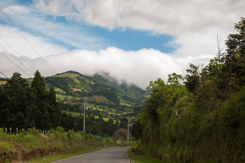
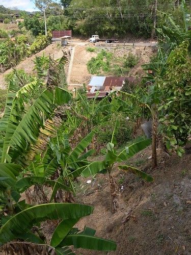
Elevation of Piedades Norte, Provincia de Alajuela, Piedades Nte, Costa Rica
Location: Costa Rica > Alajuela >
Longitude: -84.5104212
Latitude: 10.1344107
Elevation: 1099m / 3606feet
Barometric Pressure: 0KPa
Related Photos:
Topographic Map of Piedades Norte, Provincia de Alajuela, Piedades Nte, Costa Rica
Find elevation by address:

Places near Piedades Norte, Provincia de Alajuela, Piedades Nte, Costa Rica:
Piedades Sur
Escuela Bajo La Paz
Ruta Nacional Treciaria 742
3fpp+wp4
Volio
Los Alpes - Regenwaldlodge
El Invu
San Ramon
Hotel San Ramon
Centro Comunidad Cristiana, Bajo Tejares
Bajo Tejar
Vista Valverde Pacific View Rentals
Magallanes
San Ramón
Palmares
Librería Zarcero
Zaragoza
Alfaro Ruiz
Naranjo De Alajuela
Naranjo
Recent Searches:
- Elevation map of Greenland, Greenland
- Elevation of Sullivan Hill, New York, New York, 10002, USA
- Elevation of Morehead Road, Withrow Downs, Charlotte, Mecklenburg County, North Carolina, 28262, USA
- Elevation of 2800, Morehead Road, Withrow Downs, Charlotte, Mecklenburg County, North Carolina, 28262, USA
- Elevation of Yangbi Yi Autonomous County, Yunnan, China
- Elevation of Pingpo, Yangbi Yi Autonomous County, Yunnan, China
- Elevation of Mount Malong, Pingpo, Yangbi Yi Autonomous County, Yunnan, China
- Elevation map of Yongping County, Yunnan, China
- Elevation of North 8th Street, Palatka, Putnam County, Florida, 32177, USA
- Elevation of 107, Big Apple Road, East Palatka, Putnam County, Florida, 32131, USA
- Elevation of Jiezi, Chongzhou City, Sichuan, China
- Elevation of Chongzhou City, Sichuan, China
- Elevation of Huaiyuan, Chongzhou City, Sichuan, China
- Elevation of Qingxia, Chengdu, Sichuan, China
- Elevation of Corso Fratelli Cairoli, 35, Macerata MC, Italy
- Elevation of Tallevast Rd, Sarasota, FL, USA
- Elevation of 4th St E, Sonoma, CA, USA
- Elevation of Black Hollow Rd, Pennsdale, PA, USA
- Elevation of Oakland Ave, Williamsport, PA, USA
- Elevation of Pedrógão Grande, Portugal
