Elevation of Port Rd, Pine Bluff, AR, USA
Location: United States > Arkansas > Jefferson County >
Longitude: -91.947804
Latitude: 34.2507901
Elevation: 65m / 213feet
Barometric Pressure: 101KPa
Elevation Map:
Satellite Map:
Related Photos:

Eagle Call

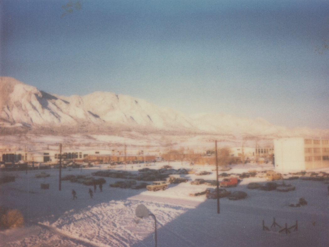
Hotel Pines
Pine Bluff Hangar Queens Meet The New Boy (Explore)
Pine Bluff Hangar Queens
Pine Bluff Hangar Queens And The New Kid
Pine Bluff Hangar Queens

Sunset at St. Marie's

Follow The Path

Golden Awaking

夕阳月色
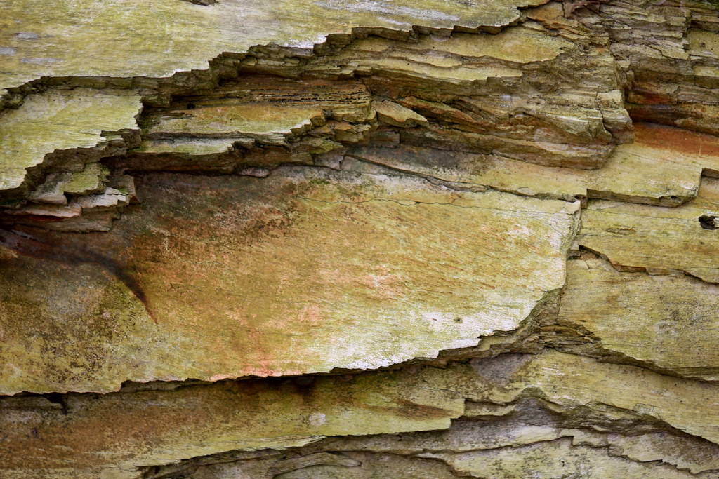
Ancient Textures

White Hall Sky

Pine Bluff Sky

Bartholomew Reflections
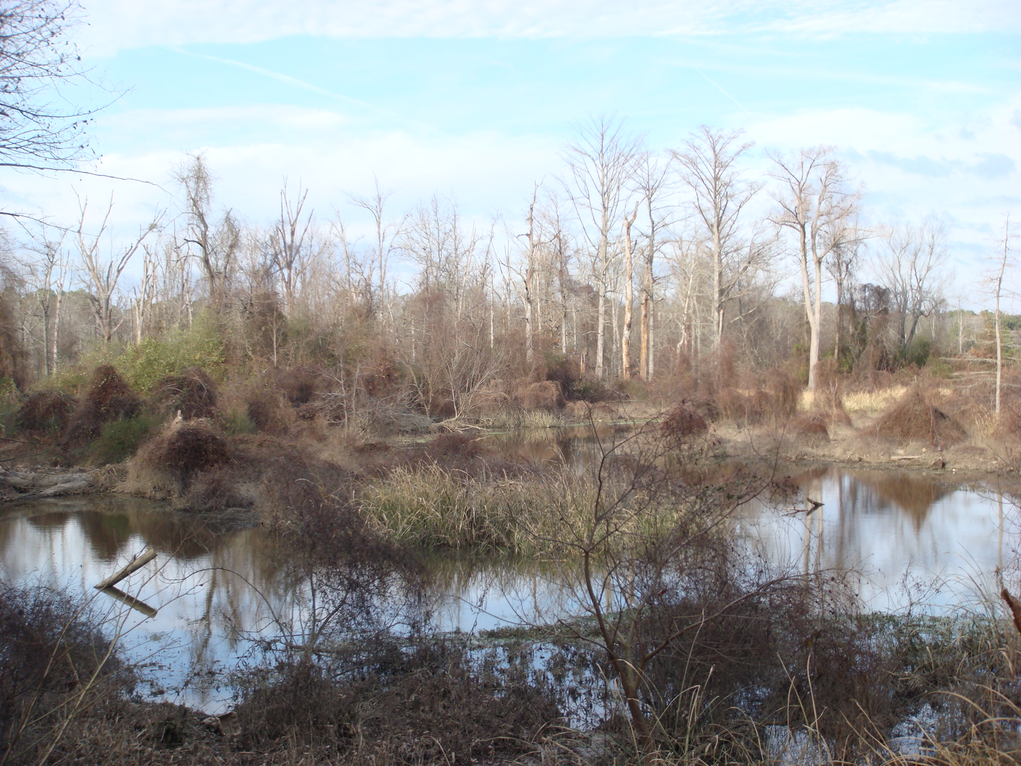
The Bayou
Untitled 100
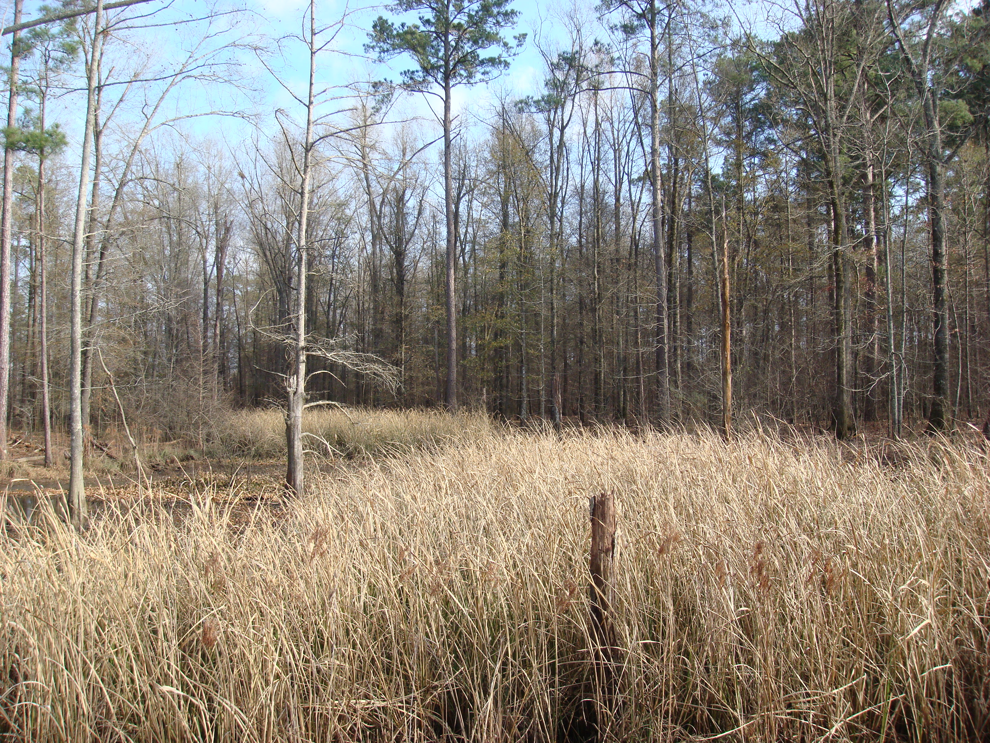
grass in the Bayou

A&A Ramp Pano
A Little pond
Topographic Map of Port Rd, Pine Bluff, AR, USA
Find elevation by address:

Places near Port Rd, Pine Bluff, AR, USA:
Jefferson County
Riverside Drive
Lowe's Home Improvement
Pine Bluff Convention Center
Pine Bluff
2800 S Ohio St
Martha Mitchell Expressway
Victoria Township
Vaugine Township
3000 S Olive St
Stratton Dr, Pine Bluff, AR, USA
US-65, Pine Bluff, AR, USA
3900 S Olive St
4100 Us-63 Bus
4500 S Olive St
4800 Us-63 Bus
Super 1 Foods
5000 Us-63 Bus
5000 Us-63 Bus
2914 S Catalpa St
Recent Searches:
- Elevation of Corso Fratelli Cairoli, 35, Macerata MC, Italy
- Elevation of Tallevast Rd, Sarasota, FL, USA
- Elevation of 4th St E, Sonoma, CA, USA
- Elevation of Black Hollow Rd, Pennsdale, PA, USA
- Elevation of Oakland Ave, Williamsport, PA, USA
- Elevation of Pedrógão Grande, Portugal
- Elevation of Klee Dr, Martinsburg, WV, USA
- Elevation of Via Roma, Pieranica CR, Italy
- Elevation of Tavkvetili Mountain, Georgia
- Elevation of Hartfords Bluff Cir, Mt Pleasant, SC, USA