Elevation of Port Elizabeth, South Africa
Location: South Africa > Eastern Cape > Port Elizabeth > Port Elizabeth >
Longitude: 25.5207358
Latitude: -33.7139247
Elevation: 88m / 289feet
Barometric Pressure: 0KPa
Related Photos:

#photoshoot with Luzaan! #sunset paired with the XF 56mm F1.2 Model: @luzaanpreston Photographer: @mardeemaree Camera & Equipment: @fujifilm_sa #boho #goldenhour #floralcrown #profileshot #landscape #iseedouble #fujiforlife #model #fashion
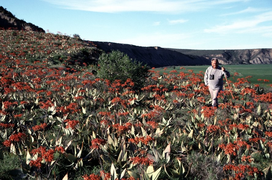
4502 Bill Branch and flowers
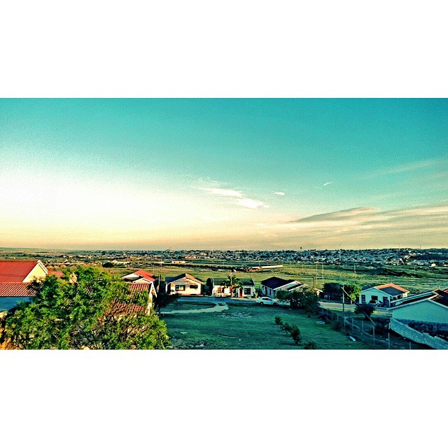
Welcome 2015. You're looking good.
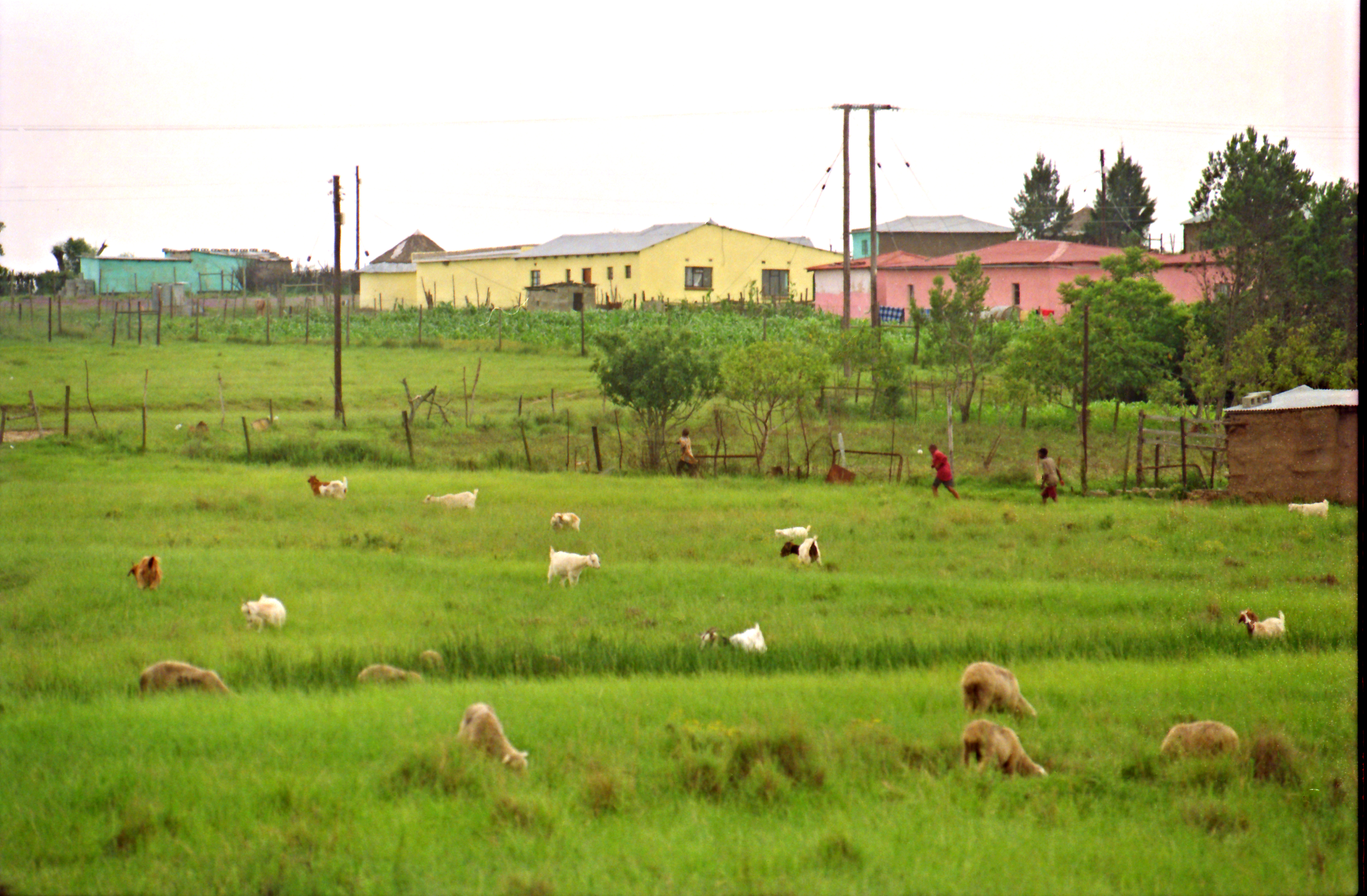
Motherwell Eastern Cape South Africa Port Elizabeth Area Dec 1998 003
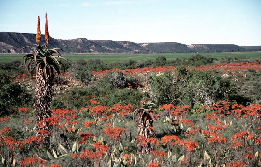
4501 Field of flowers
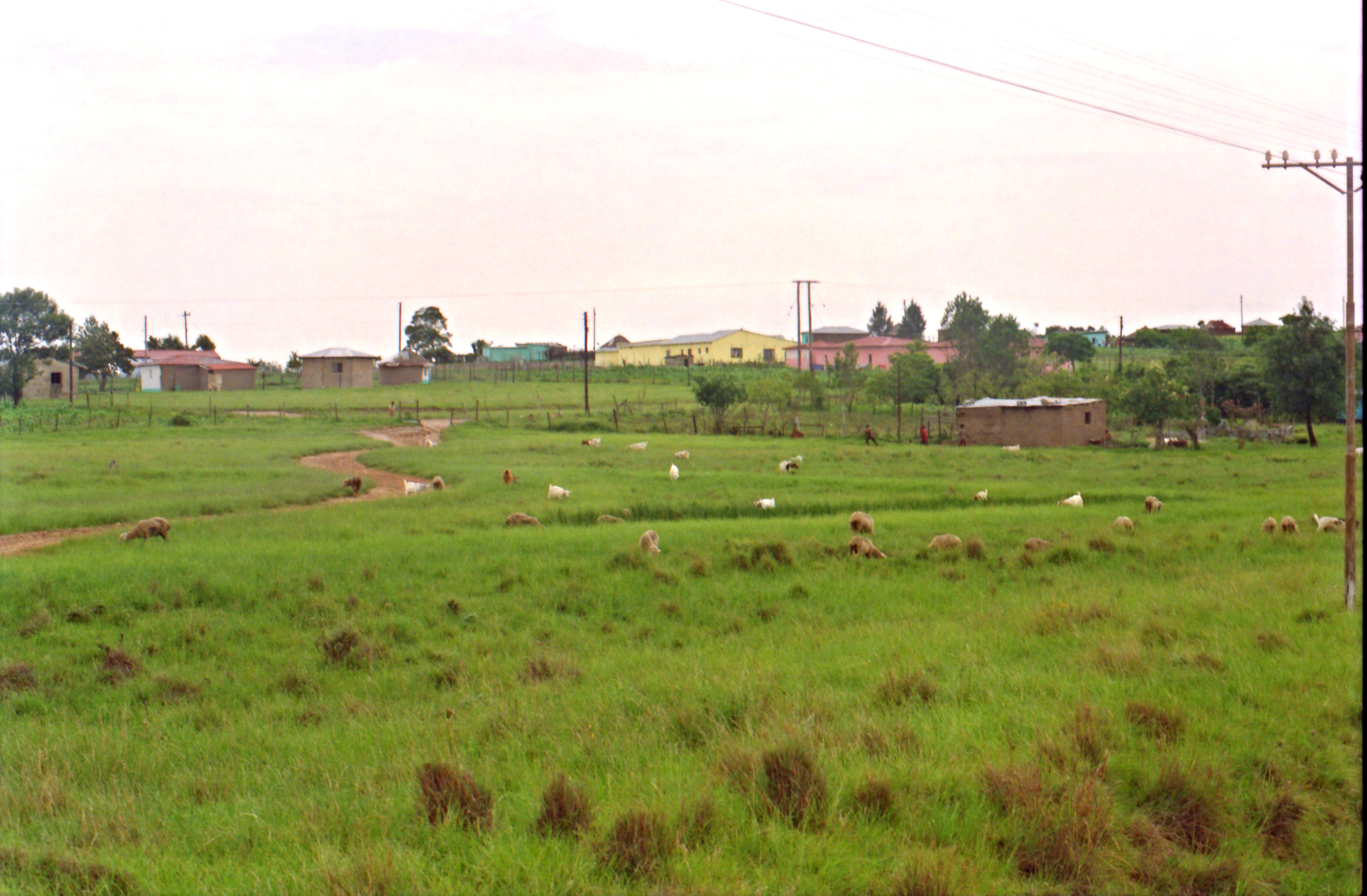
Motherwell Eastern Cape South Africa Port Elizabeth Area Dec 1998 002
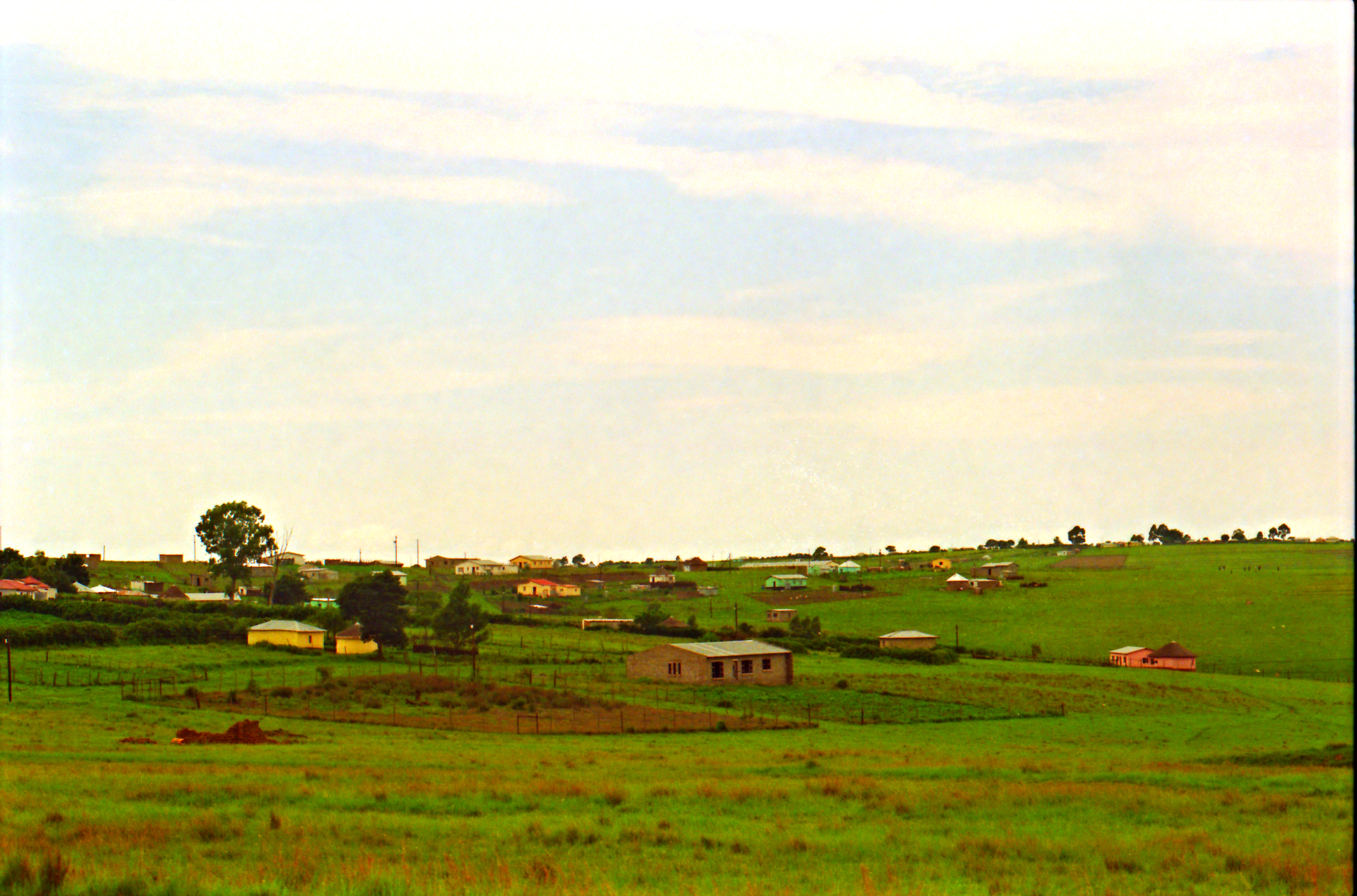
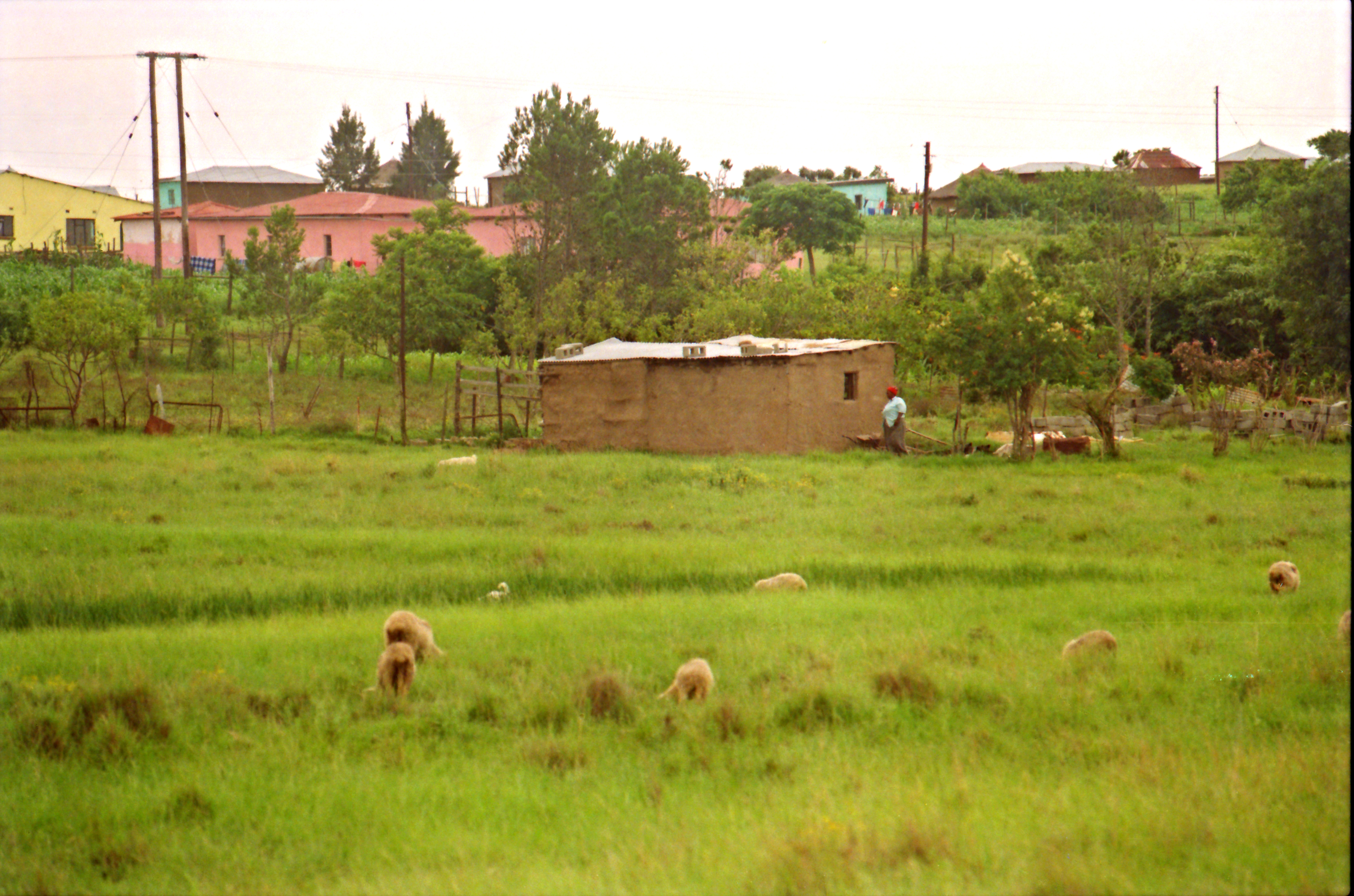
Motherwell Eastern Cape South Africa Port Elizabeth Area Dec 1998 001
Motherwell Eastern Cape South Africa Port Elizabeth Area Dec 1998 004
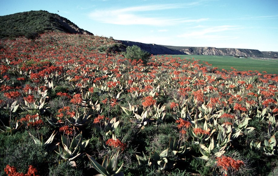
4454 Flowers Port Elizabeth

Quinsley Drift (2)
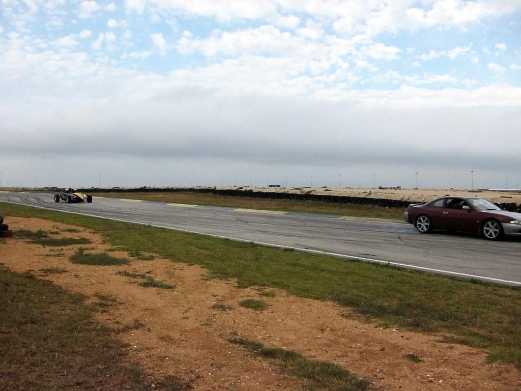
Ariel Atom and 200sx
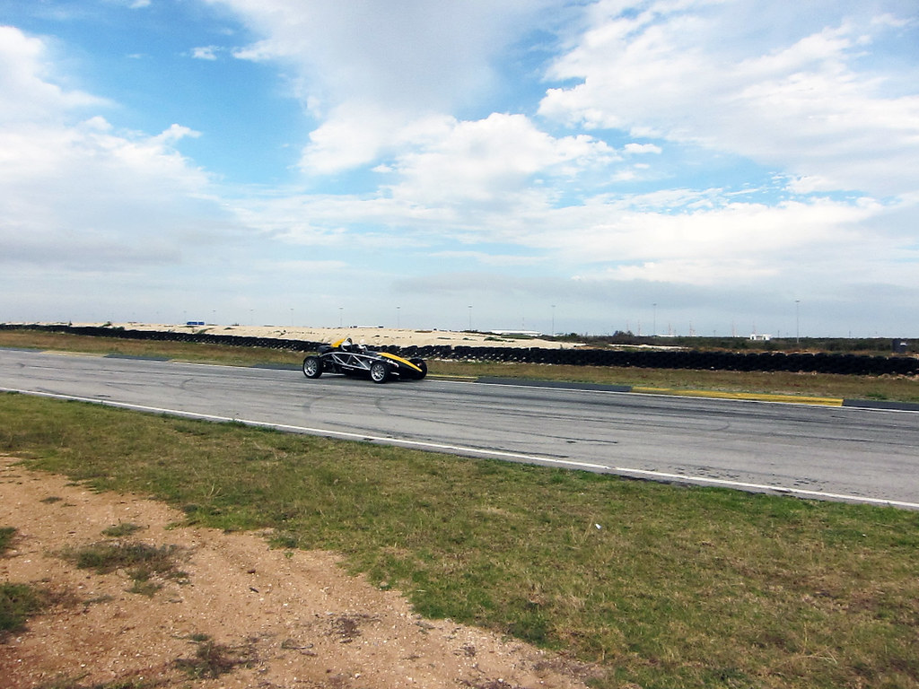
Ariel Atom
Chaucer Feb 2011 150
Topographic Map of Port Elizabeth, South Africa
Find elevation by address:

Places in Port Elizabeth, South Africa:
Farms Port Elizabeth
Malabar
Wells Estate
Faurecia Interior Systems South Africa (pty) Ltd
Lear Corporation
Overbaakens
Kabega Park
Bridge Street Brewery
37 Eastbourne Rd
Humerail Bed And Breakfast
Superspar Waterfront
Spar Tops - Waterfront
Hunters Retreat
Victoria Park Drive
Summerstrand
Fairview
New Brighton
Glenhurd
Newton Park
Linkside
North End
Baakens Street
Werk_
Places near Port Elizabeth, South Africa:
Port Elizabeth
Port Elizabeth
Kirkwood
Frontier Safaris Game Farm
Makana Local Municipality
Somerset East
Grahamstown
Recent Searches:
- Elevation of Pasing, Munich, Bavaria, 81241, Germany
- Elevation of 24, Auburn Bay Crescent SE, Auburn Bay, Calgary, Alberta, T3M 0A6, Canada
- Elevation of Denver, 2314, Arapahoe Street, Five Points, Denver, Colorado, 80205, USA
- Elevation of Community of the Beatitudes, 2924, West 43rd Avenue, Sunnyside, Denver, Colorado, 80211, USA
- Elevation map of Litang County, Sichuan, China
- Elevation map of Madoi County, Qinghai, China
- Elevation of 3314, Ohio State Route 114, Payne, Paulding County, Ohio, 45880, USA
- Elevation of Sarahills Drive, Saratoga, Santa Clara County, California, 95070, USA
- Elevation of Town of Bombay, Franklin County, New York, USA
- Elevation of 9, Convent Lane, Center Moriches, Suffolk County, New York, 11934, USA
- Elevation of Saint Angelas Convent, 9, Convent Lane, Center Moriches, Suffolk County, New York, 11934, USA
- Elevation of 131st Street Southwest, Mukilteo, Snohomish County, Washington, 98275, USA
- Elevation of 304, Harrison Road, Naples, Cumberland County, Maine, 04055, USA
- Elevation of 2362, Timber Ridge Road, Harrisburg, Cabarrus County, North Carolina, 28075, USA
- Elevation of Ridge Road, Marshalltown, Marshall County, Iowa, 50158, USA
- Elevation of 2459, Misty Shadows Drive, Pigeon Forge, Sevier County, Tennessee, 37862, USA
- Elevation of 8043, Brightwater Way, Spring Hill, Williamson County, Tennessee, 37179, USA
- Elevation of Starkweather Road, San Luis, Costilla County, Colorado, 81152, USA
- Elevation of 5277, Woodside Drive, Baton Rouge, East Baton Rouge Parish, Louisiana, 70808, USA
- Elevation of 1139, Curtin Street, Shepherd Park Plaza, Houston, Harris County, Texas, 77018, USA