Elevation of Pololcingo, Gro., Mexico
Location: Mexico > Guerrero > Huitzuco De Los Figueroa >
Longitude: -99.366667
Latitude: 18.2166669
Elevation: 1237m / 4058feet
Barometric Pressure: 87KPa
Elevation Map:
Satellite Map:
Related Photos:
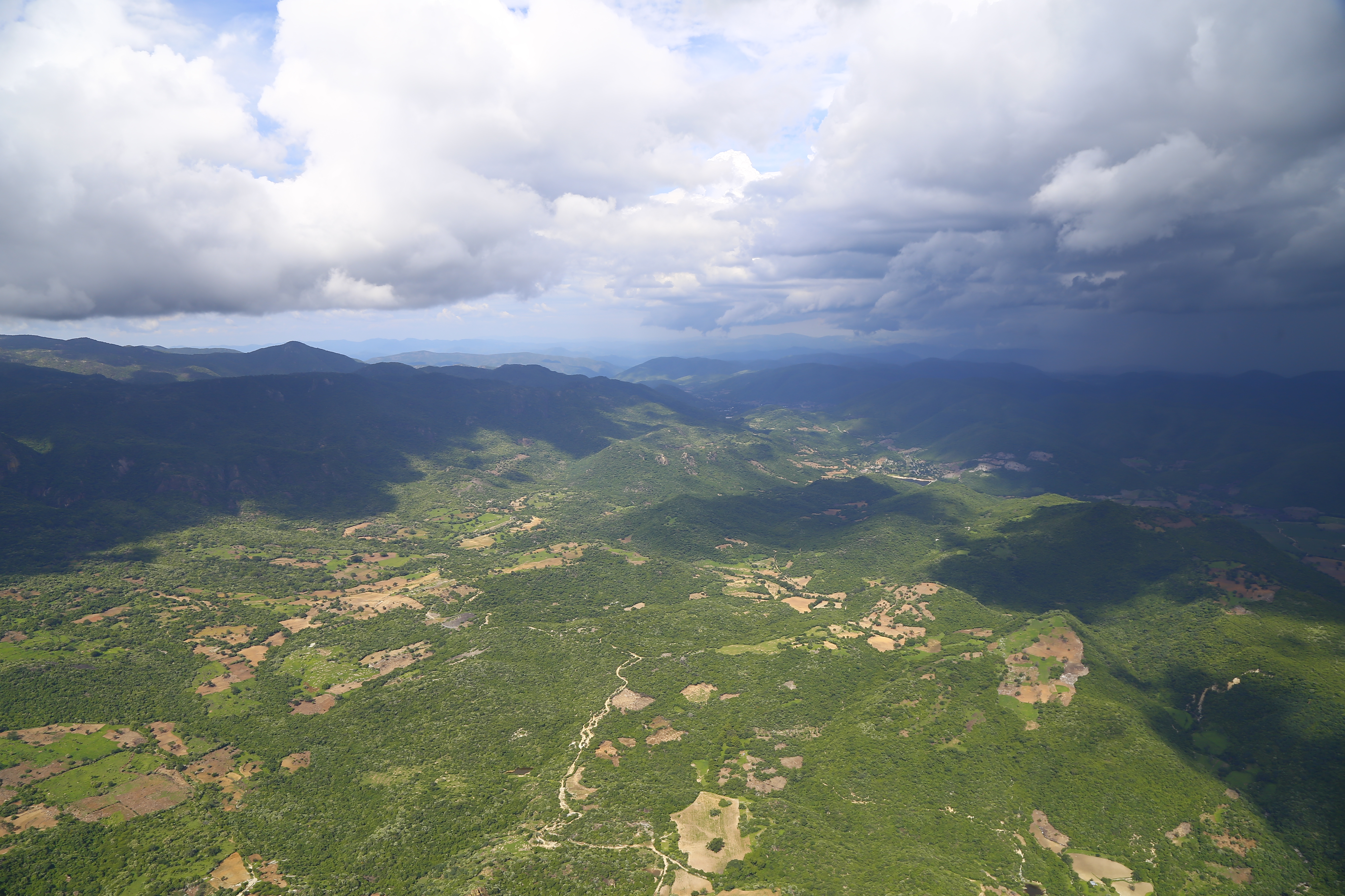
Aerofoto
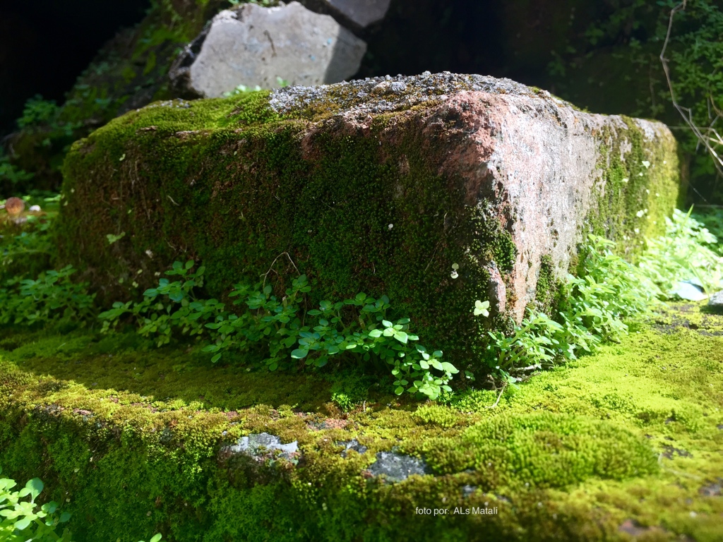
Ciudad Musgo
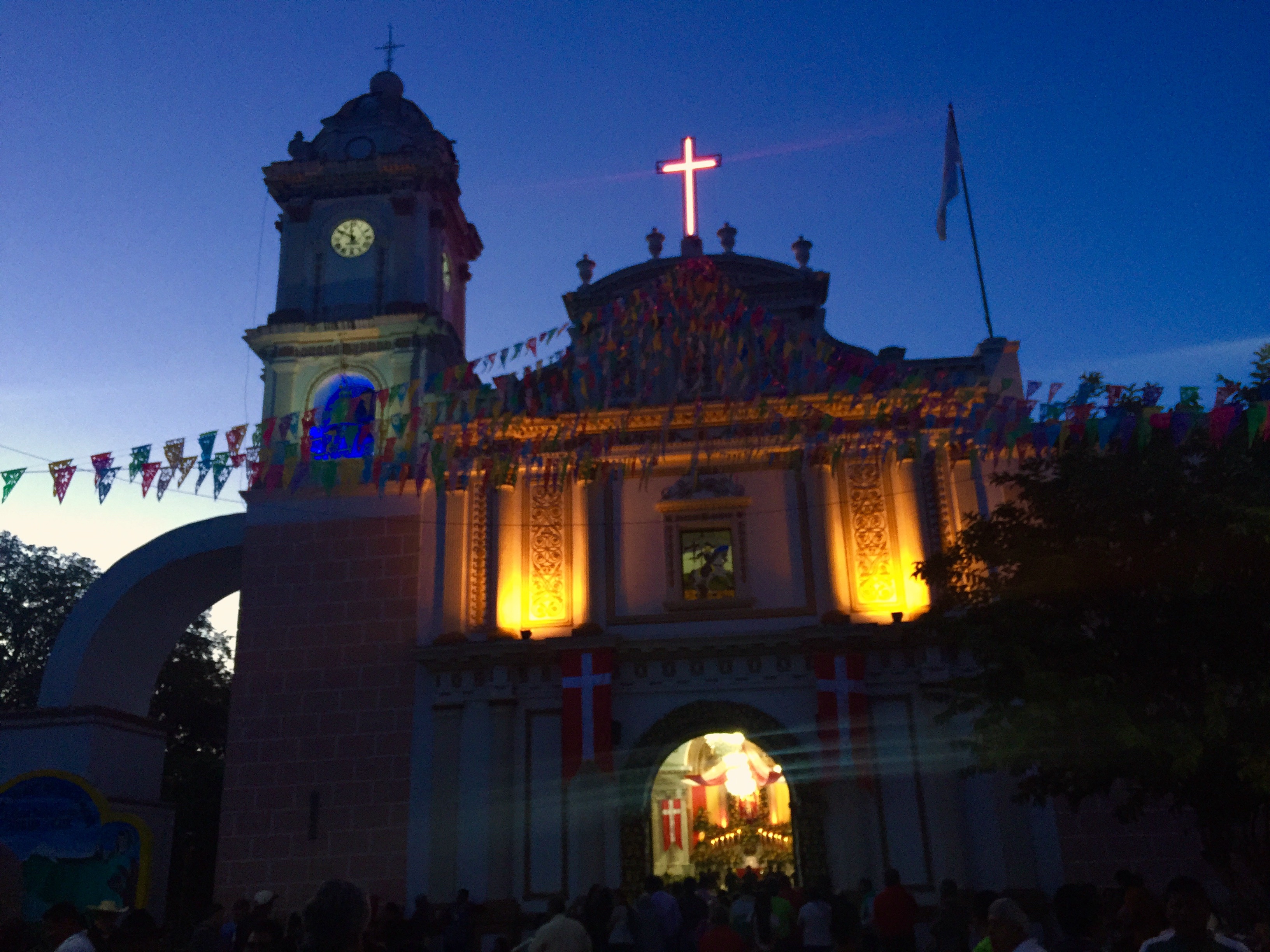
Iglesia de Santiago Apóstol #Mexico #DF

Picnic forzoso.
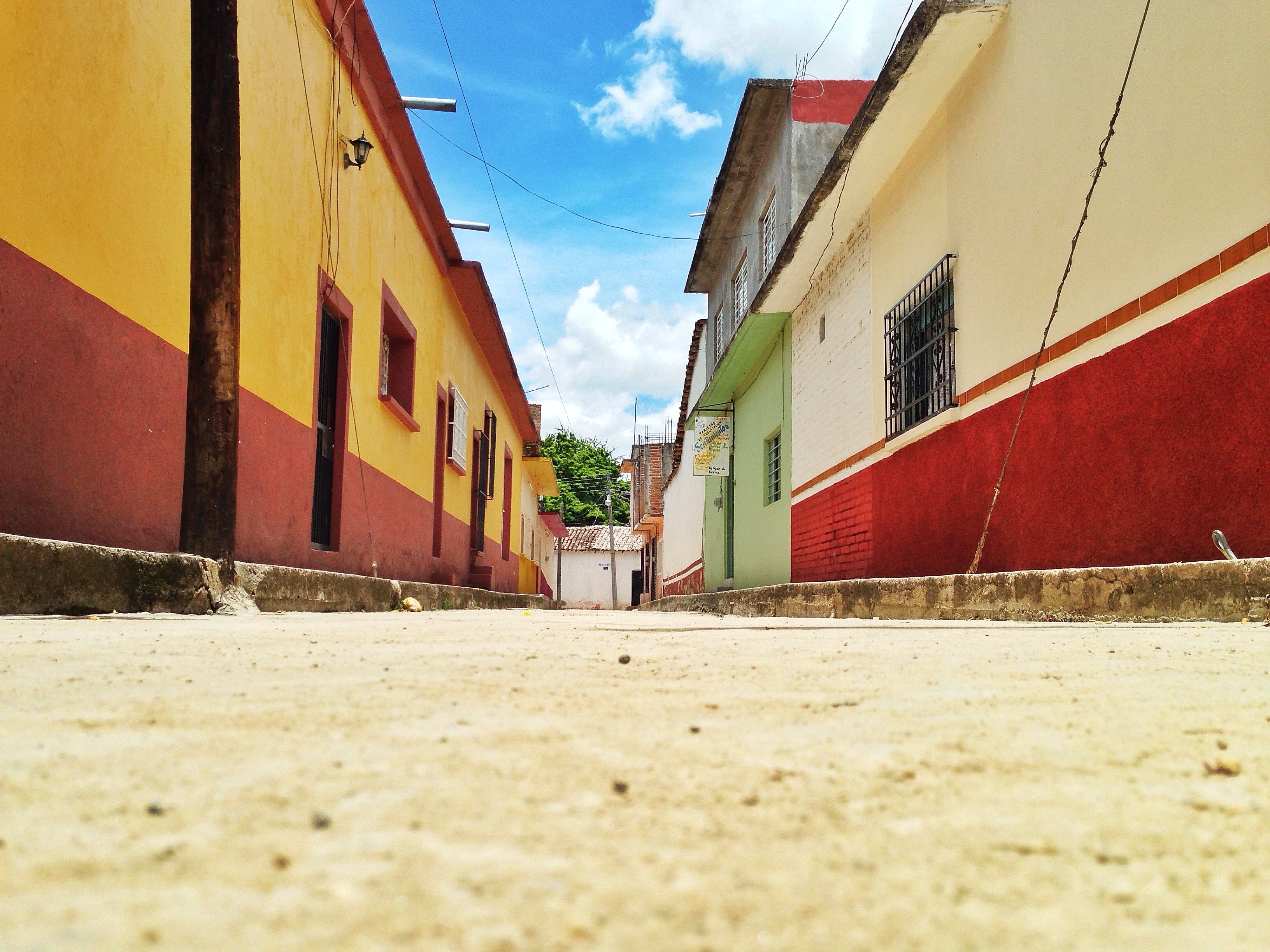
Calle La ley, Huitzuco, Guerrero, México

Quebranta huesos ó águila
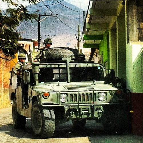
Feliz Navidad
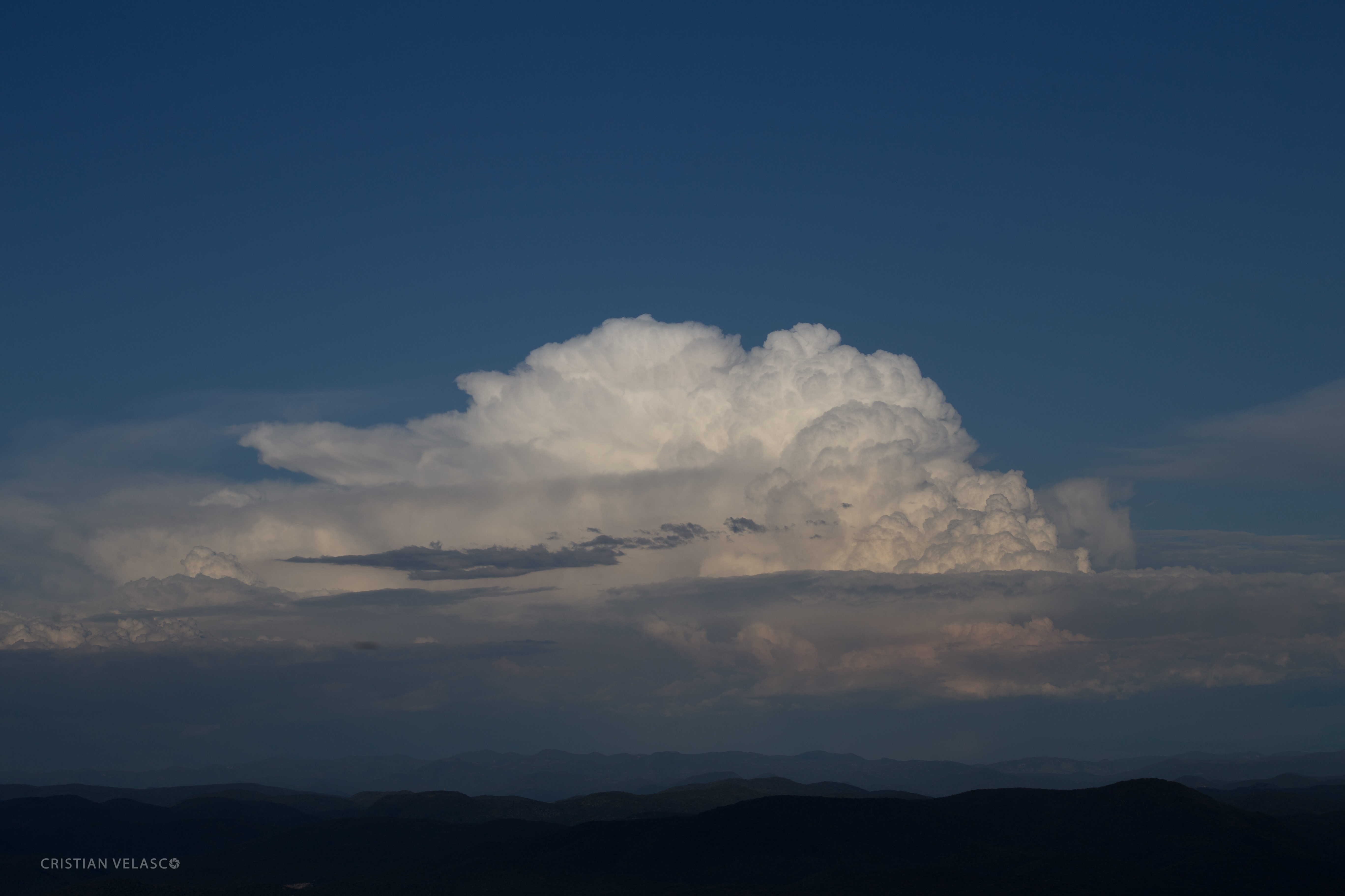
Desde el aire
Topographic Map of Pololcingo, Gro., Mexico
Find elevation by address:

Places near Pololcingo, Gro., Mexico:
Constitución 8, Acayahualco, Gro., Mexico
Atenango Del Río
Calle Miguel Hidalgo, Cocula, Gro., Mexico
Rayón 4, Barrio de los Dolores, De los Dolores, Gro., Mexico
Copalillo
Barrio De Los Dolores
Xixila
Chilapa De Álvarez
Chilapa De Álvarez
Tierra Caliente
Villa Montaña
Jose Lopez Portillo
Chilpancingo
Chilpancingo
Petaquillas
Centro
Olinalá
Morelos 6, Centro, Ejido del Centro, Gro., Mexico
Olinalá
Guerrero
Recent Searches:
- Elevation of Corso Fratelli Cairoli, 35, Macerata MC, Italy
- Elevation of Tallevast Rd, Sarasota, FL, USA
- Elevation of 4th St E, Sonoma, CA, USA
- Elevation of Black Hollow Rd, Pennsdale, PA, USA
- Elevation of Oakland Ave, Williamsport, PA, USA
- Elevation of Pedrógão Grande, Portugal
- Elevation of Klee Dr, Martinsburg, WV, USA
- Elevation of Via Roma, Pieranica CR, Italy
- Elevation of Tavkvetili Mountain, Georgia
- Elevation of Hartfords Bluff Cir, Mt Pleasant, SC, USA