Elevation of Chilpancingo, Guerrero, Mexico
Location: Mexico > Guerrero > Chilpancingo >
Longitude: -99.500632
Latitude: 17.5515346
Elevation: 1265m / 4150feet
Barometric Pressure: 87KPa
Elevation Map:
Satellite Map:
Related Photos:

Chinelo


Tepoltzis, Guerrero

#porlacarretera

#mexico & the #sky :) @herrerafluis

Uno de mis más grandes motivos...

Autopista del sol
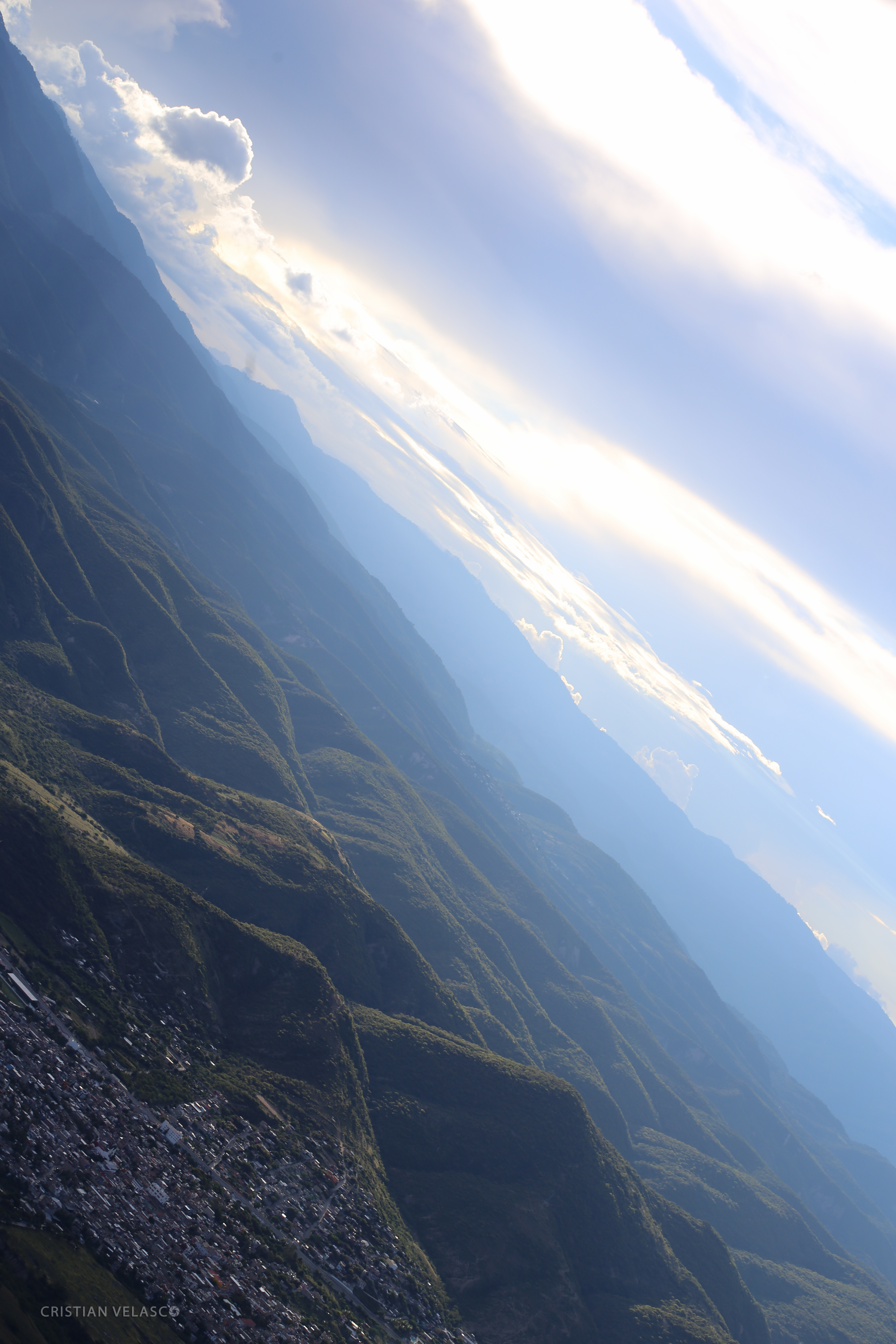
Desde el aire
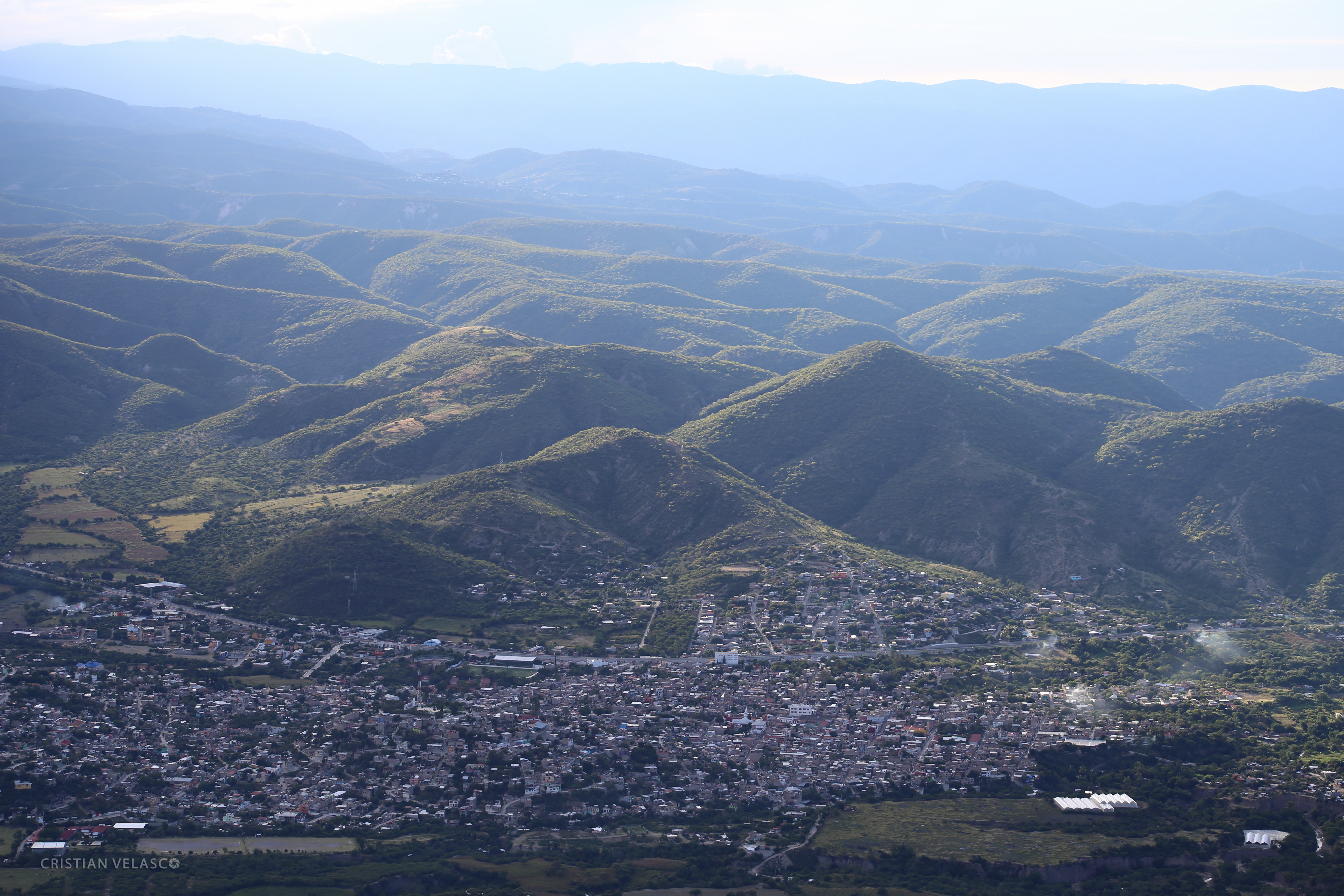
Desde el aire
Topographic Map of Chilpancingo, Guerrero, Mexico
Find elevation by address:

Places in Chilpancingo, Guerrero, Mexico:
Places near Chilpancingo, Guerrero, Mexico:
Chilpancingo
Jose Lopez Portillo
Villa Montaña
Tierra Caliente
Petaquillas
Guerrero
Chilapa De Álvarez
Chilapa De Álvarez
Chilpancingo de los Bravo - Acapulco, Xaltianguis, Gro., Mexico
Tierra Colorada
Juan R. Escudero
Solapa
Xaltianguis
Kilómetro 30
Chilpancingo De Los Bravo - Acapulco
Barrio De Los Dolores
Rayón 4, Barrio de los Dolores, De los Dolores, Gro., Mexico
Copalillo
Chilpancingo de los Bravo - Acapulco, El Treinta, Gro., Mexico
Constitución 8, Acayahualco, Gro., Mexico
Recent Searches:
- Elevation of Corso Fratelli Cairoli, 35, Macerata MC, Italy
- Elevation of Tallevast Rd, Sarasota, FL, USA
- Elevation of 4th St E, Sonoma, CA, USA
- Elevation of Black Hollow Rd, Pennsdale, PA, USA
- Elevation of Oakland Ave, Williamsport, PA, USA
- Elevation of Pedrógão Grande, Portugal
- Elevation of Klee Dr, Martinsburg, WV, USA
- Elevation of Via Roma, Pieranica CR, Italy
- Elevation of Tavkvetili Mountain, Georgia
- Elevation of Hartfords Bluff Cir, Mt Pleasant, SC, USA