Elevation of Poderio Dr, Ramona, CA, USA
Location: United States > California > San Diego County > Ramona > San Diego Country Estates >
Longitude: -116.78285
Latitude: 33.006439
Elevation: 461m / 1512feet
Barometric Pressure: 96KPa
Elevation Map:
Satellite Map:
Related Photos:

Prairie Falcon with wings spread

About to Get Hammered

Mountain View Community Church (Thomas Built Buses)

EEK! A mouse!

Owl Encounter

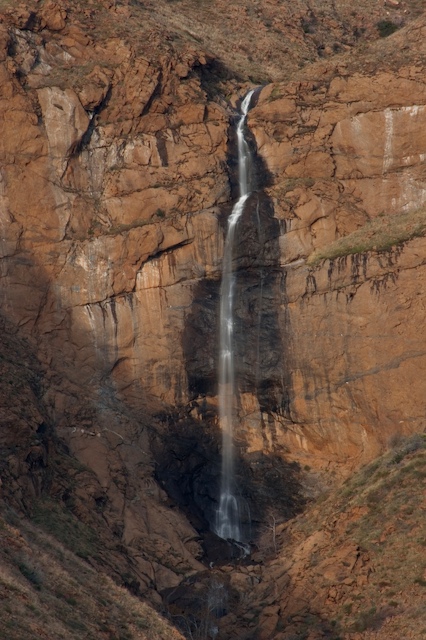
Cedar Creek Falls
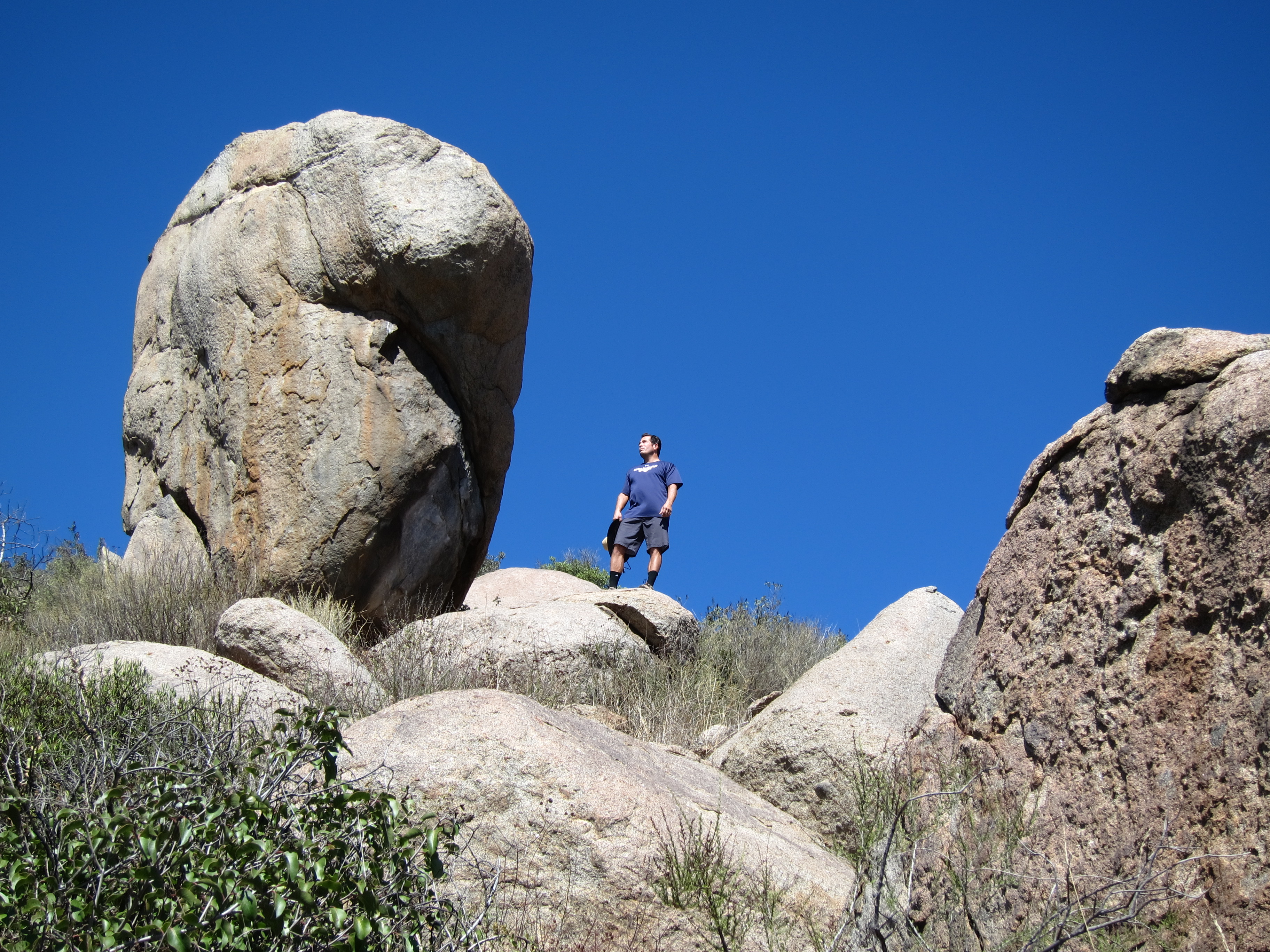
Standing Rock

October morning.

Bugs in Sun 2

Magic Mushrooms
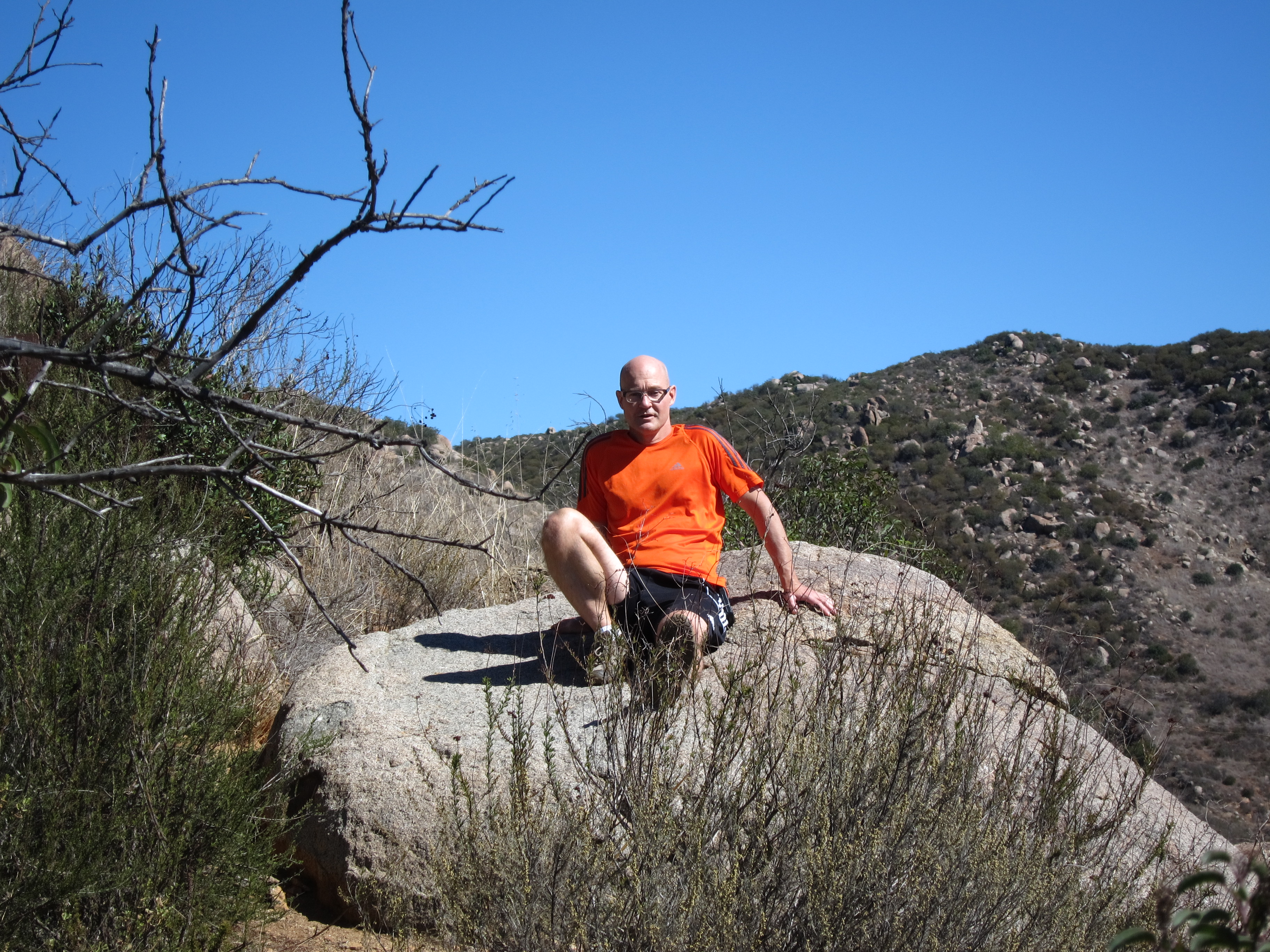
Sitting on a Boulder
View point on CA highway 79, between Santa Ysabel and Julian

Tree Arch From a Different Angle

Lewis' Woodpecker (13244) eBird rarity
Santa Ysabel View 1

Lewis' Woodpecker (13240) eBird rarity

131: American Kestrel, Falco sparverius
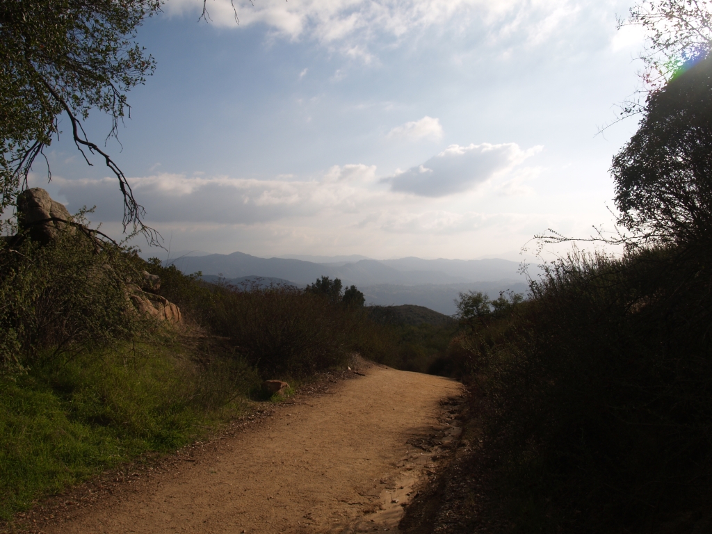
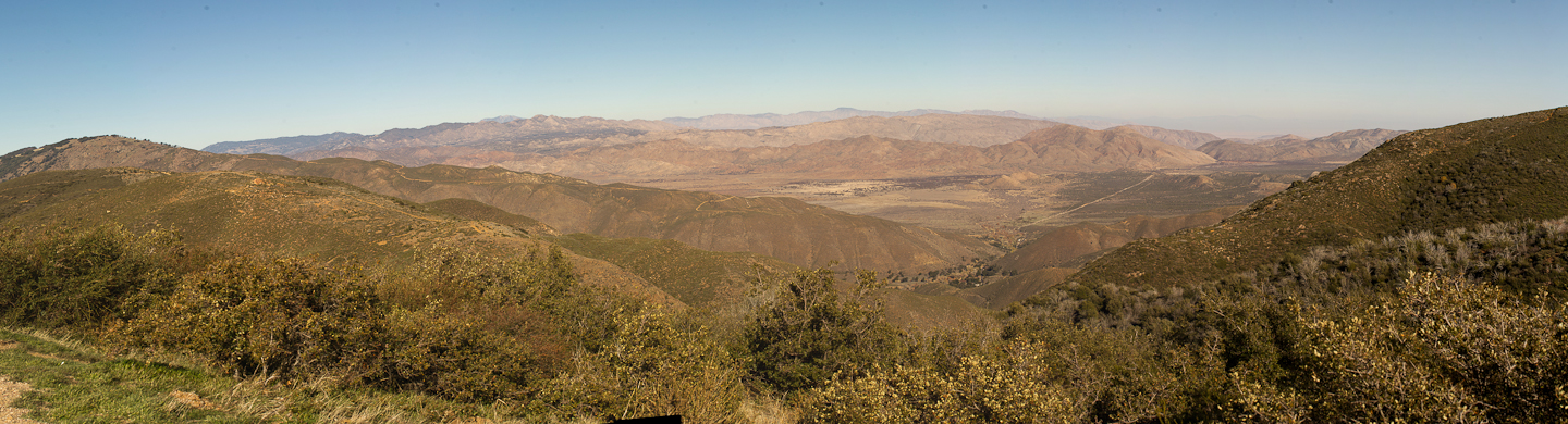
244 A peaceful view south from the El Cajon Mountain Trail
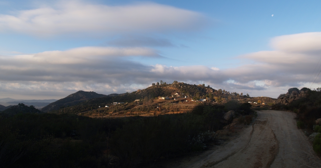
003 View back along Blue Sky Ranch Road on the El Cajon Mountain Trail
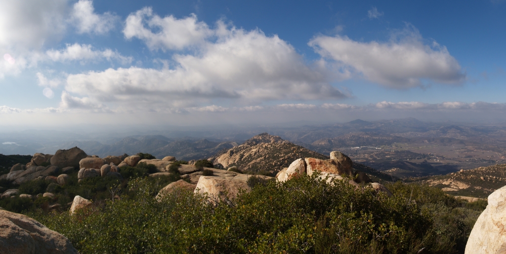
193 Panorama view west from the summit of El Cajon Mountain

Sky view

Moonrise. Full moon rises above Ramona.
Magic Hour at Mildred Falls
Sutherland Dam-0029

Sutherland Dam-0063
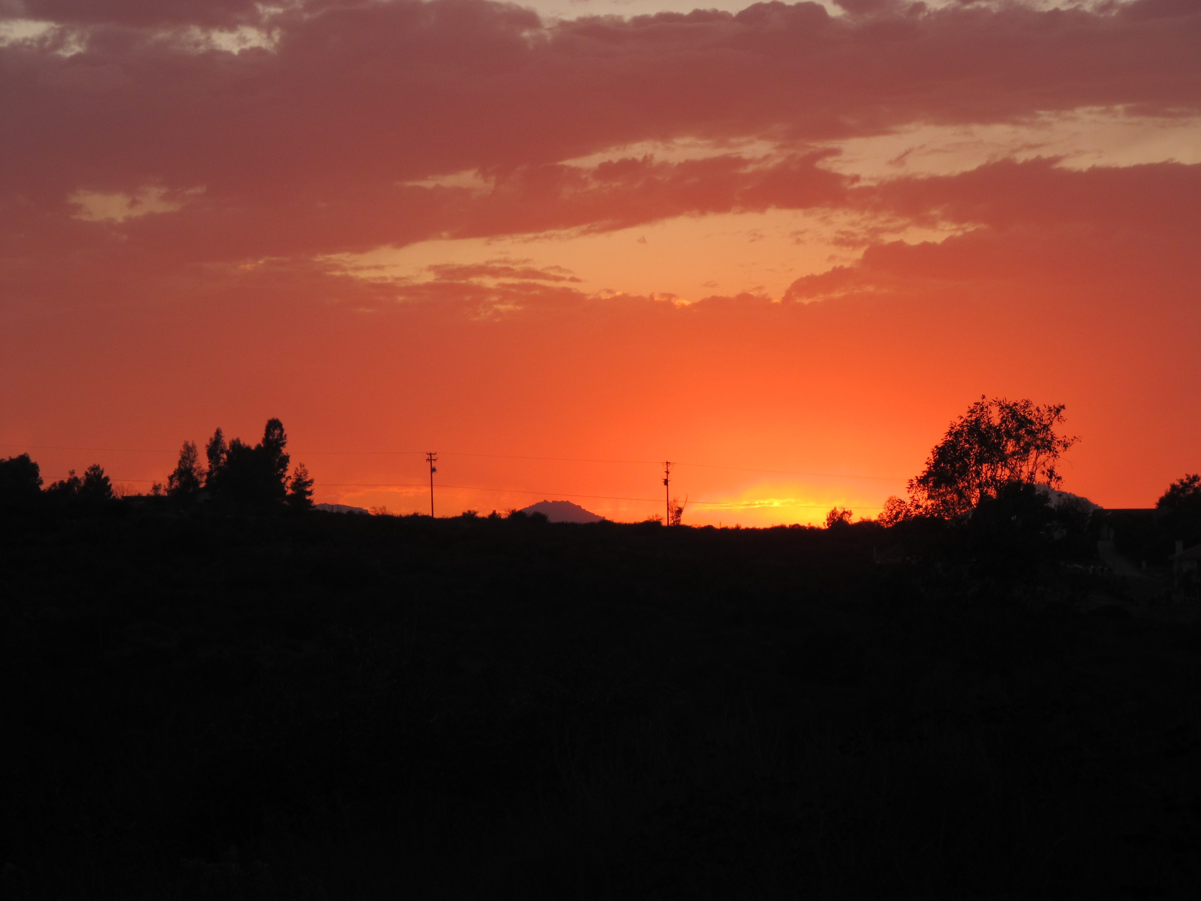
September Sunset
#RoadTripUSA #discoveramerica #California

El Capitan, Yosemite, California

Cleveland National Forest 014
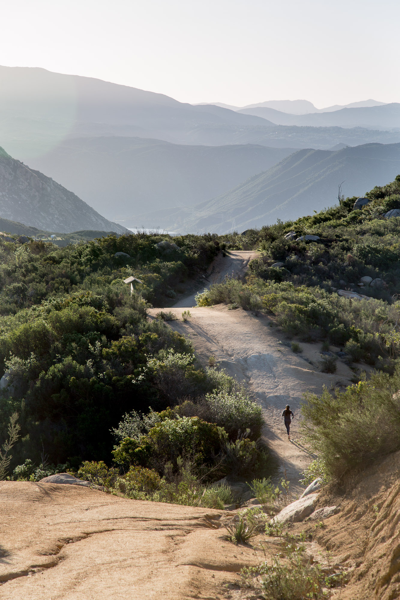
Early morning trail run on El Cajon Mountain

Morning and the sprinklers
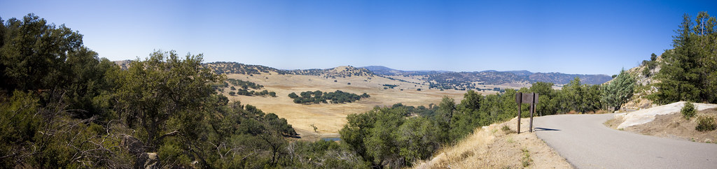
San Pasqual Valley Panorama
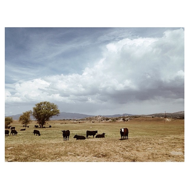
Ranch country

Lunch at Cedar Creek Falls
Highway pt2

2014.12.23: went hiking around eastern San Diego! Beautiful hike! Much fun! Much exercise!
Bails of Hay
Topographic Map of Poderio Dr, Ramona, CA, USA
Find elevation by address:

Places near Poderio Dr, Ramona, CA, USA:
San Diego Country Estates
Kerri Lane
15765 Zeigler Ct
Watt Road
Matlin Road
San Vicente Resort And Golf Course
16753 Wikiup Rd
24451 Rutherford Rd
Shoen Ln, Ramona, CA, USA
15528 Calistoga Dr
23609 Scarbery Way
23509 Green Glen Rd
24011 Starlight Mountain Rd
635 Old Julian Hwy
218 Shandy Ln
3184 Ketuull Uunyaa Way
532 Creelman Ln
Shandy Lane
Keyes Road
1378 Ashley Rd
Recent Searches:
- Elevation of Corso Fratelli Cairoli, 35, Macerata MC, Italy
- Elevation of Tallevast Rd, Sarasota, FL, USA
- Elevation of 4th St E, Sonoma, CA, USA
- Elevation of Black Hollow Rd, Pennsdale, PA, USA
- Elevation of Oakland Ave, Williamsport, PA, USA
- Elevation of Pedrógão Grande, Portugal
- Elevation of Klee Dr, Martinsburg, WV, USA
- Elevation of Via Roma, Pieranica CR, Italy
- Elevation of Tavkvetili Mountain, Georgia
- Elevation of Hartfords Bluff Cir, Mt Pleasant, SC, USA