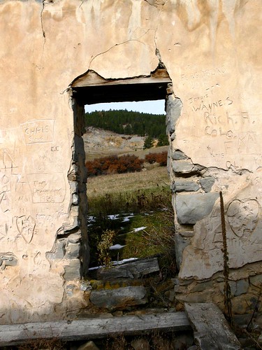
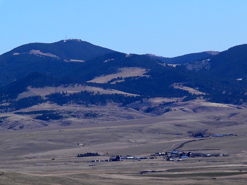
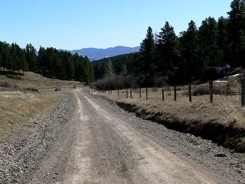
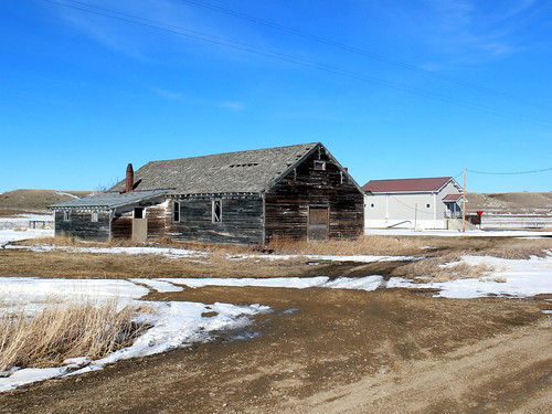
Elevation of Plum Creek Rd, Lewistown, MT, USA
Location: United States > Montana > Fergus County > Lewistown >
Longitude: -109.58797
Latitude: 47.383887
Elevation: 1049m / 3442feet
Barometric Pressure: 89KPa
Related Photos:
Topographic Map of Plum Creek Rd, Lewistown, MT, USA
Find elevation by address:

Places near Plum Creek Rd, Lewistown, MT, USA:
Fergus County
Hanover Rd, Lewistown, MT, USA
2nd Ave S, Winifred, MT, USA
Winifred
1514 Vixen Ln
2nd St NW, Lewistown, MT, USA
423 W Montana St
102 W Broadway St
102 W Broadway St
West Washington Street
408 Ne Main St
464 Rifle Range Rd
Lewistown
1001 Casino Creek Dr
7412 Maiden Rd
52 Rocky Mountain Ln
91026 Us-87
Lewistown, MT, USA
630 Skaggs Rd
Forest Grove Road
Recent Searches:
- Elevation of Corso Fratelli Cairoli, 35, Macerata MC, Italy
- Elevation of Tallevast Rd, Sarasota, FL, USA
- Elevation of 4th St E, Sonoma, CA, USA
- Elevation of Black Hollow Rd, Pennsdale, PA, USA
- Elevation of Oakland Ave, Williamsport, PA, USA
- Elevation of Pedrógão Grande, Portugal
- Elevation of Klee Dr, Martinsburg, WV, USA
- Elevation of Via Roma, Pieranica CR, Italy
- Elevation of Tavkvetili Mountain, Georgia
- Elevation of Hartfords Bluff Cir, Mt Pleasant, SC, USA


