Elevation of Pleasant Street, Pleasant St, Barre, MA, USA
Location: United States > Massachusetts > Worcester County > Barre Town > Barre >
Longitude: -72.124961
Latitude: 42.4512042
Elevation: 358m / 1175feet
Barometric Pressure: 97KPa
Elevation Map:
Satellite Map:
Related Photos:
Aqueduct Pond - Hardwick
Playing with the Galaxy
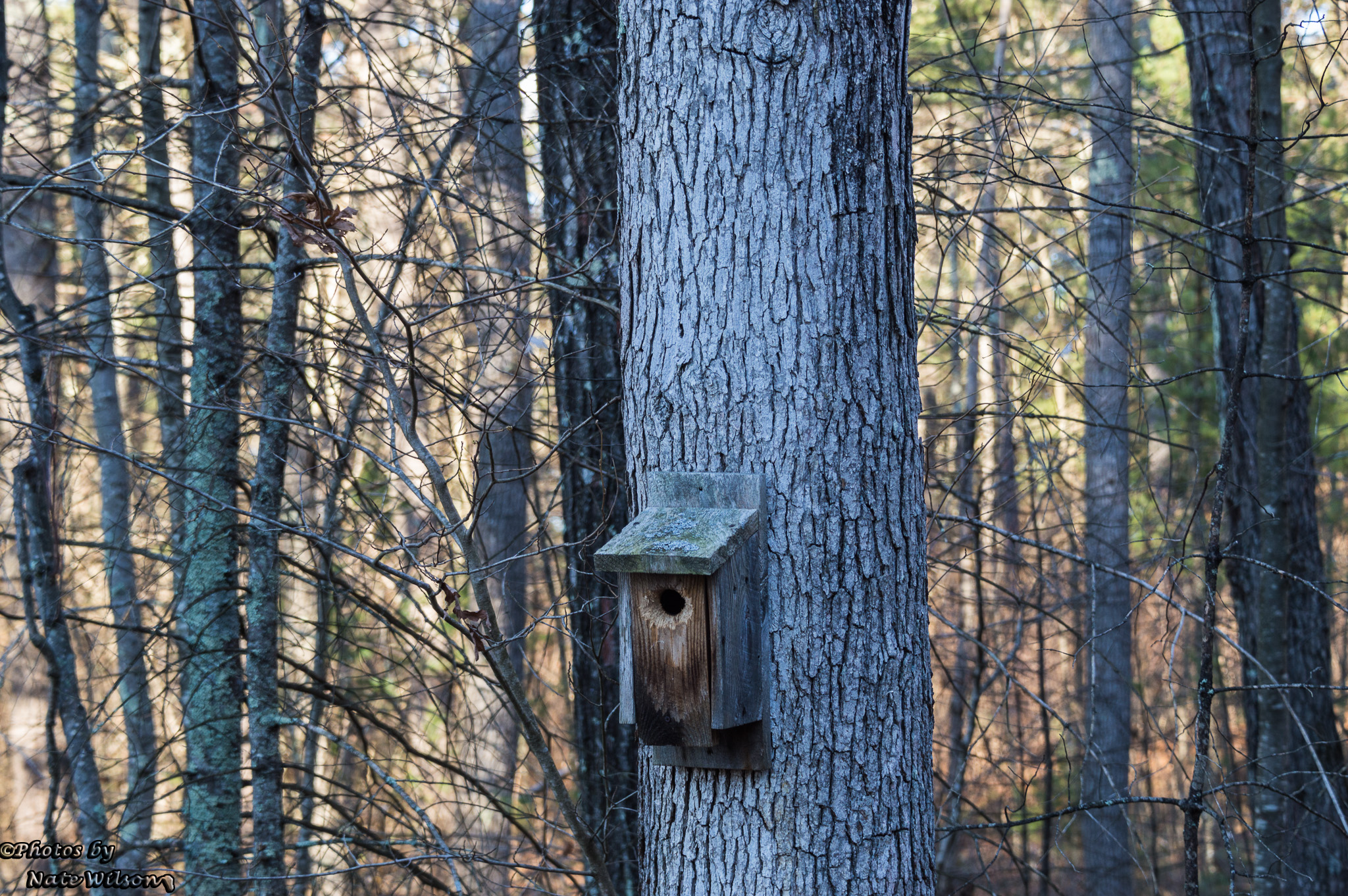
Ghost Window
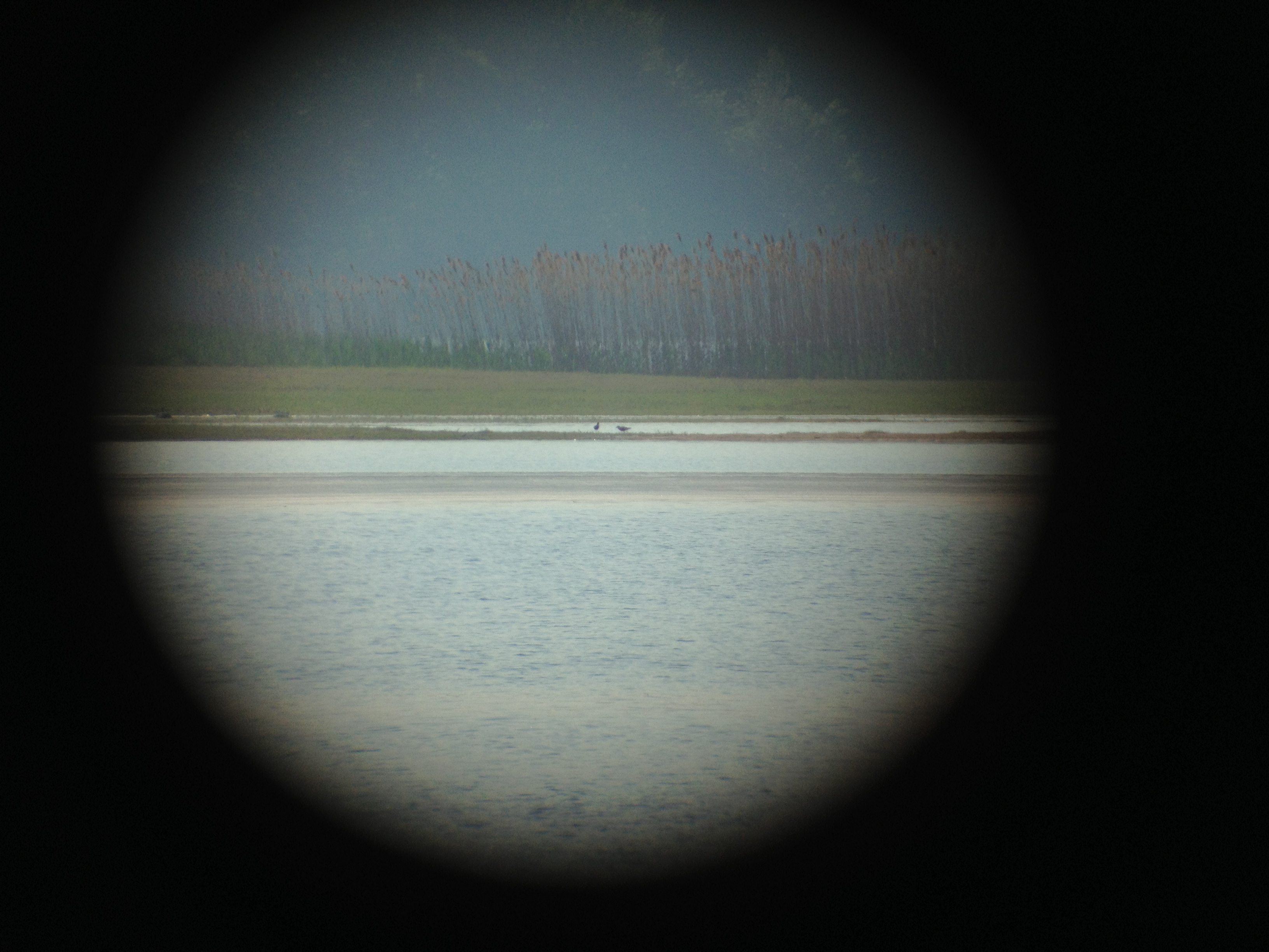
Black bellied Plovers with Dunlin
Black bellied Plovers
Winter Pasture
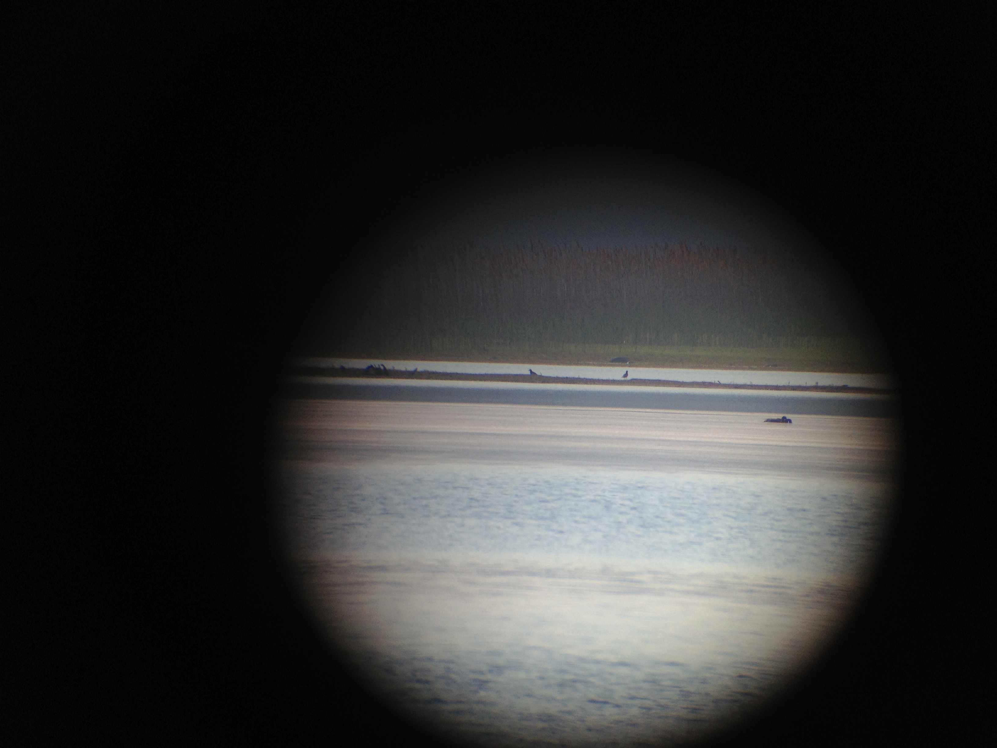
Black bellied Plovers
Black bellied Plovers with Dunlin

005/365 - Blurry Orion
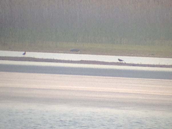
Black bellied Plovers
Black bellied Plovers

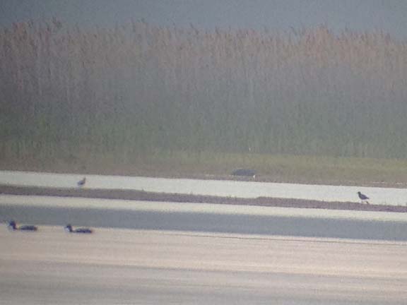
Black bellied Plovers

Black bellied Plovers
Black bellied Plovers
Black bellied Plovers
Black bellied Plovers
Black bellied Plovers
Black bellied Plovers

A Christmas Tree from the point of view of a two-year-old

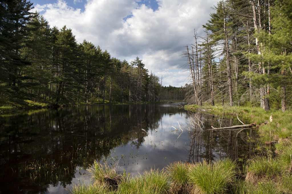
061(bt) Beaver lodge on Pottapaug Pond inlet
Rattlesnake Hill, New Salem
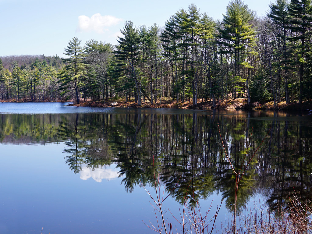
Harvard Pond, Western Massachusetts
Crossing waters

Harvard Pond #2
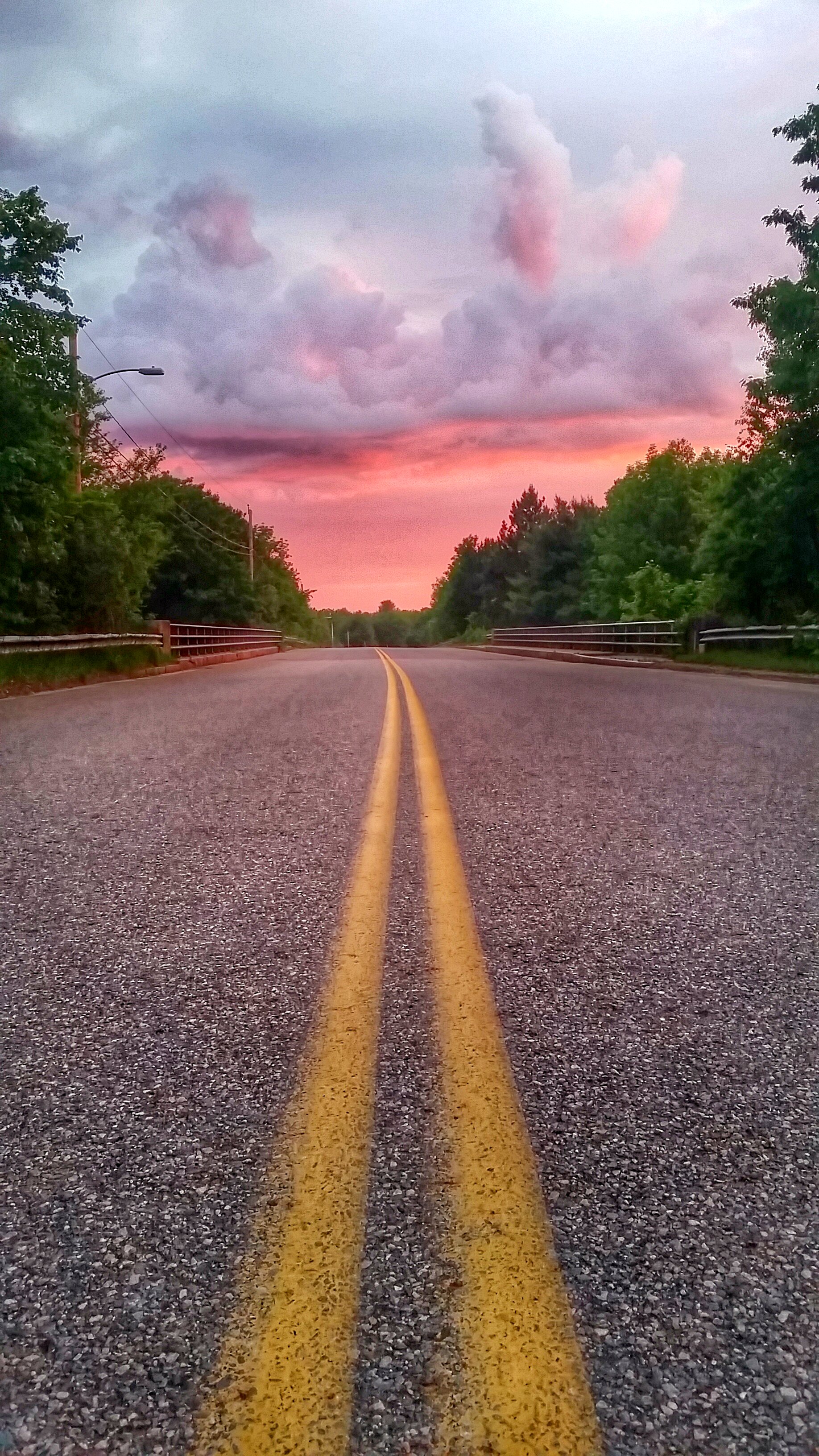
Road to Sunrise

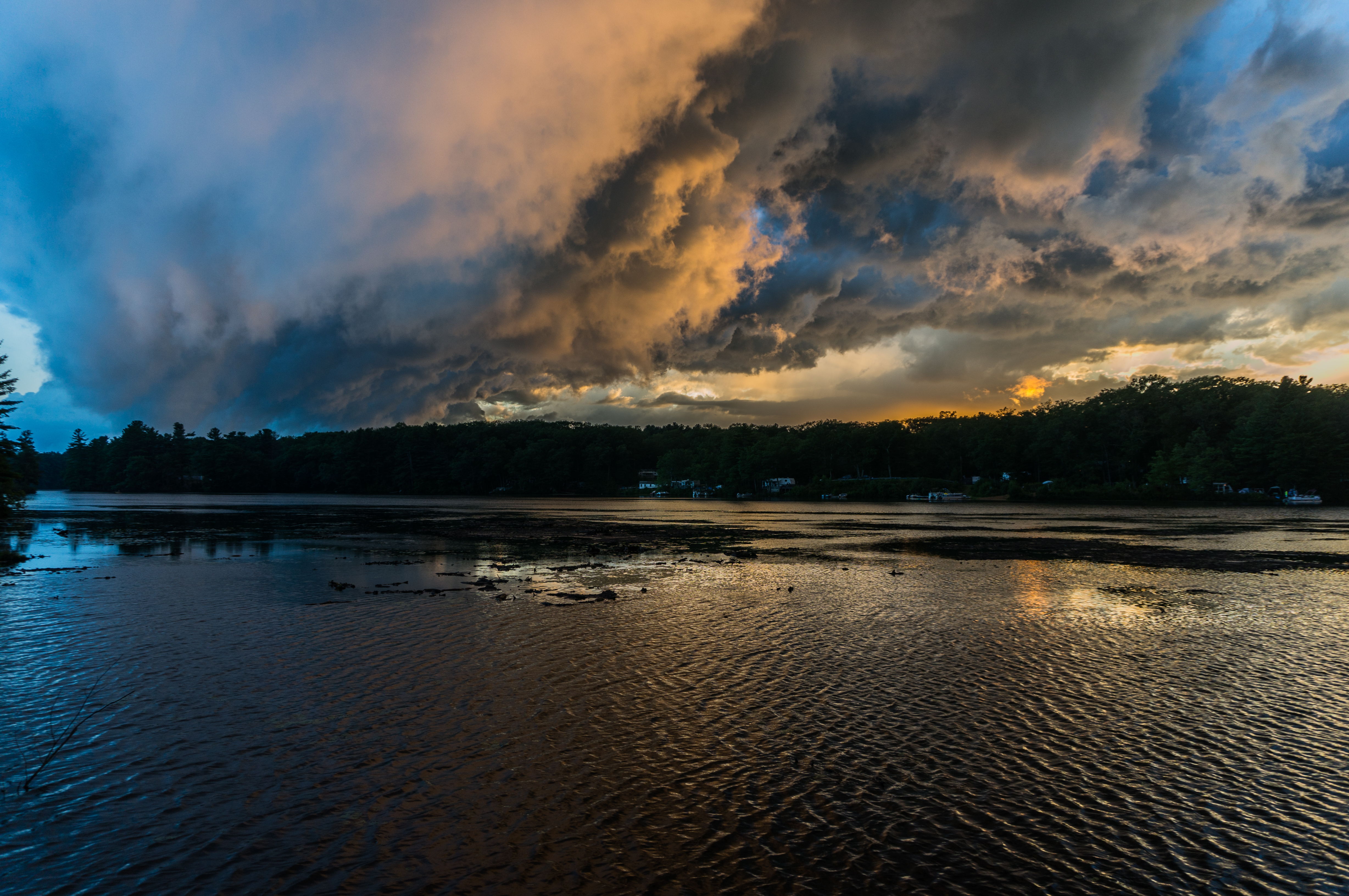
Gods Above!
DSC_4617.jpg

Yellow Shed
20170805-DSC02007-1

Late Summer Garden
2009-07-04 11.41.35

IMG_3207_remove line
IMG_2511.JPG
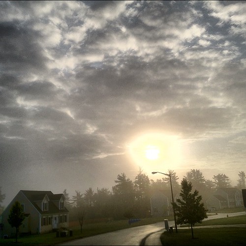
A hazy start to hump day

Ruby-throated Hummingbird
Rail Trail, Rutland State Forest, MA

Good Night
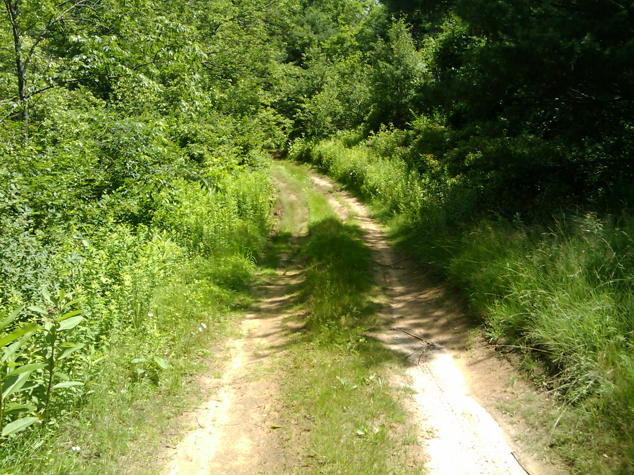
Road Less Traveled

The other shore

Quabbin Reservoir

Patrill Hollow Railroad Crossing

Another decent iPhone shot
Topographic Map of Pleasant Street, Pleasant St, Barre, MA, USA
Find elevation by address:

Places near Pleasant Street, Pleasant St, Barre, MA, USA:
Barre Town
Stone Cow Brewery
Nourse Ln, Barre, MA, USA
41 Hall Rd
670 Old Petersham Rd
88 Jackson Ln
47 Newton St
112 Gilbert Rd
417 Old Petersham Rd
Barre
Barre
1020 Williamsville Rd
267 East St
525 Old Dana Rd
800 South St
36 Thompson Rd
23 Barre Rd
348 Nichols Rd
Petersham
Carter Pond Rd, Petersham, MA, USA
Recent Searches:
- Elevation of Corso Fratelli Cairoli, 35, Macerata MC, Italy
- Elevation of Tallevast Rd, Sarasota, FL, USA
- Elevation of 4th St E, Sonoma, CA, USA
- Elevation of Black Hollow Rd, Pennsdale, PA, USA
- Elevation of Oakland Ave, Williamsport, PA, USA
- Elevation of Pedrógão Grande, Portugal
- Elevation of Klee Dr, Martinsburg, WV, USA
- Elevation of Via Roma, Pieranica CR, Italy
- Elevation of Tavkvetili Mountain, Georgia
- Elevation of Hartfords Bluff Cir, Mt Pleasant, SC, USA