Elevation of Pleasant Rd, Fort Mill, SC, USA
Location: United States > South Carolina > York County > Fort Mill >

Longitude: -80.947555

Latitude: 35.0960076

Elevation: 191m / 627feet

Barometric Pressure: 99KPa

Elevation Map:

elevation map of Pleasant Rd, Fort Mill, SC, USA
Satellite Map:

Satellite map of Pleasant Rd, Fort Mill, SC, USA
Related Photos:

mygearandme mygearandmepremium
Guiding Light
ngc mygearandme mygearandmepremium mygearandmebronze blinkagain
Receding Waterline
ngc creativemindsphotography mygearandme mygearandmepremium mygearandmebronze mygearandmesilver mygearandmegold blinkagain photographyforrecreationeliteclub inspiringcreativeminds
Afternoon Flight
ngc creativemindsphotography bestcapturesaoi elitegalleryaoi inspiringcreativeminds
Hope - Explored
Bench With a View
Passion Flower
creativemindsphotography bestcapturesaoi mygearandme inspiringcreativeminds
I-77
Rainbow in the Clouds - Explored
photography march spirit southcarolina fortmill 2013 spiritofphotography nikonflickraward highcontastlight annspringsclose
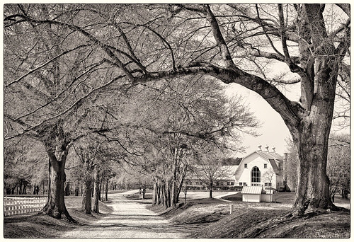
Farm through Trees
slicesoftime mygearandme inspiringcreativeminds
Beauty on the Banks
nc chopper nikon charlotte interior aircraft northcarolina helicopter boeing hdr topaz ch46 photomatix seaknight d700 carolinasaviationmuseum topazadjust
Boeing CH-46 Sea Knight Interior
thanksgiving girl circle hole charlotte alexandra round playset
Alexandra in a Hole
herowinner
Foggy Lake Wylie
terracotta windowlighting clayvase lowcontrastlight
Clay Vase
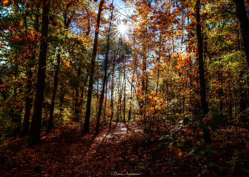
trees sun forest shadows artistic southcarolina textured mygearandme mygearandmepremium sonyslta57
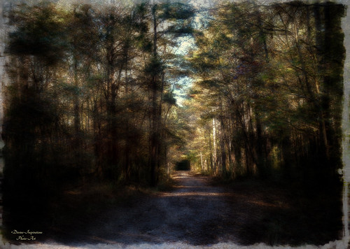
Into the Unknown
autumn trees sun lake fall water bench shade hdr
Under the Shade Tree
mygearandme mygearandmepremium mygearandmebronze mygearandmesilver mygearandmegold mygearandmeplatinum mygearandmediamond
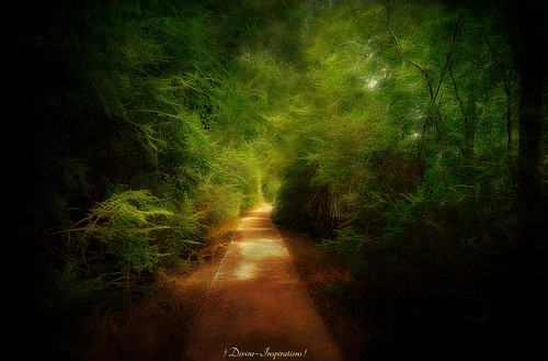
From Darkness To Light
creativemindsphotography mygearandme mygearandmepremium mygearandmebronze mygearandmesilver inspiringcreativeminds
Riverwalk on the Catawba River
Golf Carts Only
Stormy Skies
creativemindsphotography mygearandme mygearandmepremium mygearandmebronze mygearandmesilver blinkagain inspiringcreativeminds
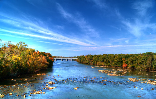
Bridge Over Shallow Water
mygearandme mygearandmepremium mygearandmebronze mygearandmesilver mygearandmegold mygearandmeplatinum mygearandmediamond
The Wonders of Nature
Secret Entrance
sunrise southcarolina northcarolina lakewylie mcdowellstatepark 10162010
Lake Wylie 10-16-2010 12
longexposure sunset skyline landscape nc charlotte tonten
The Queen City
Nation Ford Road
animal bird charlotte landscape mecklenburgcounty nature northcarolina redwingedblackbird sixmilecreekwetland spring wildlife waxhaw unitedstates us
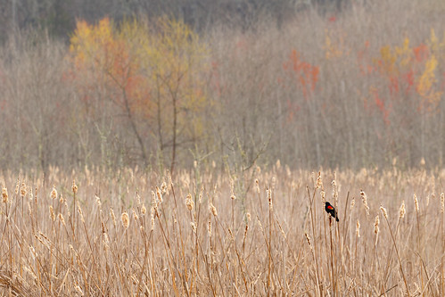
A Spring Scene at the Marsh
charlotte usa sugarcreekdirtway northamerica northcarolina dirtway unitedstatesofamerica mecklenburgcounty nc unitedstates us
You are Here
arrowpointblvdlake
Arrowpoint Blvd Lake 039
Country Road Sunrise
square squareformat iphoneography instagramapp uploaded:by=instagram foursquare:venue=5085caf1e4b0b1ead2d29c94
#outdoorphotography #fall #forest #nature #mcdowellnaturepreserve #greatoutdoors #Sony #sonya6000 #sonyalpha #sonyimages???? #mirrorless #justgoshoot #Minolta #manualfocus
flickrbronzetrophygroup
The Migration
Haigler stream
golf nc charlotte carmelcountryclub golfclubcountryclub
Hole#5 Green South "Carmel Country Club"
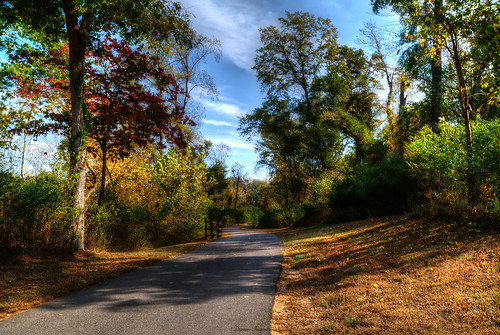
trees winter sky usa sc leaves woods shadows close path alice southcarolina dirt trail greenway spings fortmill nikonafsnikkor1635mmf4gedvr
The path ahead
Afternoon Sun