Elevation of Plattsburg Rd, Noxapater, MS, USA
Location: United States > Mississippi > Winston County > Noxapater >
Longitude: -89.192288
Latitude: 32.9446056
Elevation: 169m / 554feet
Barometric Pressure: 99KPa
Elevation Map:
Satellite Map:
Related Photos:
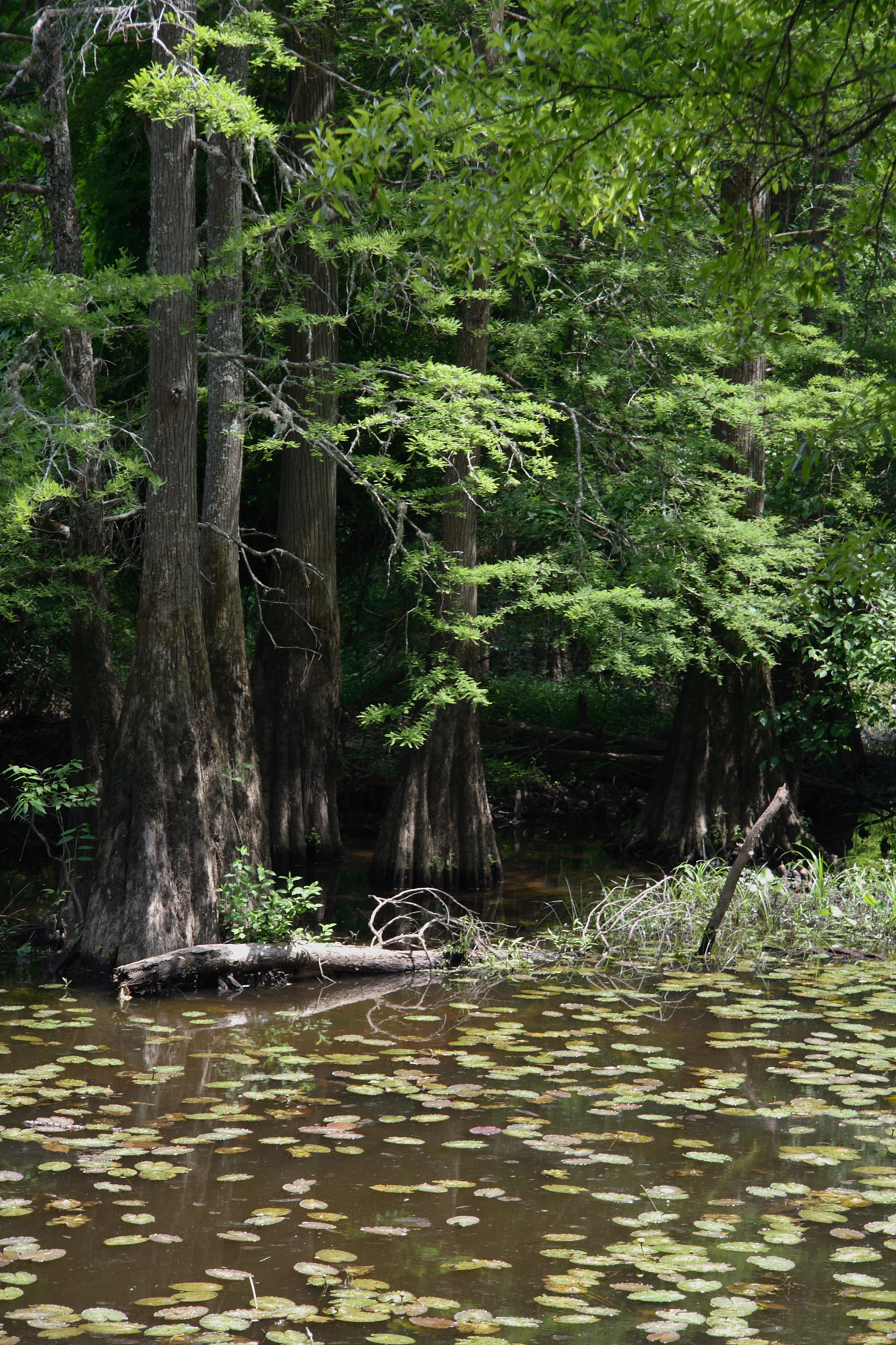
Burnside Park
Burnside Park

vorfreude.

Star Trails - #0141-0198
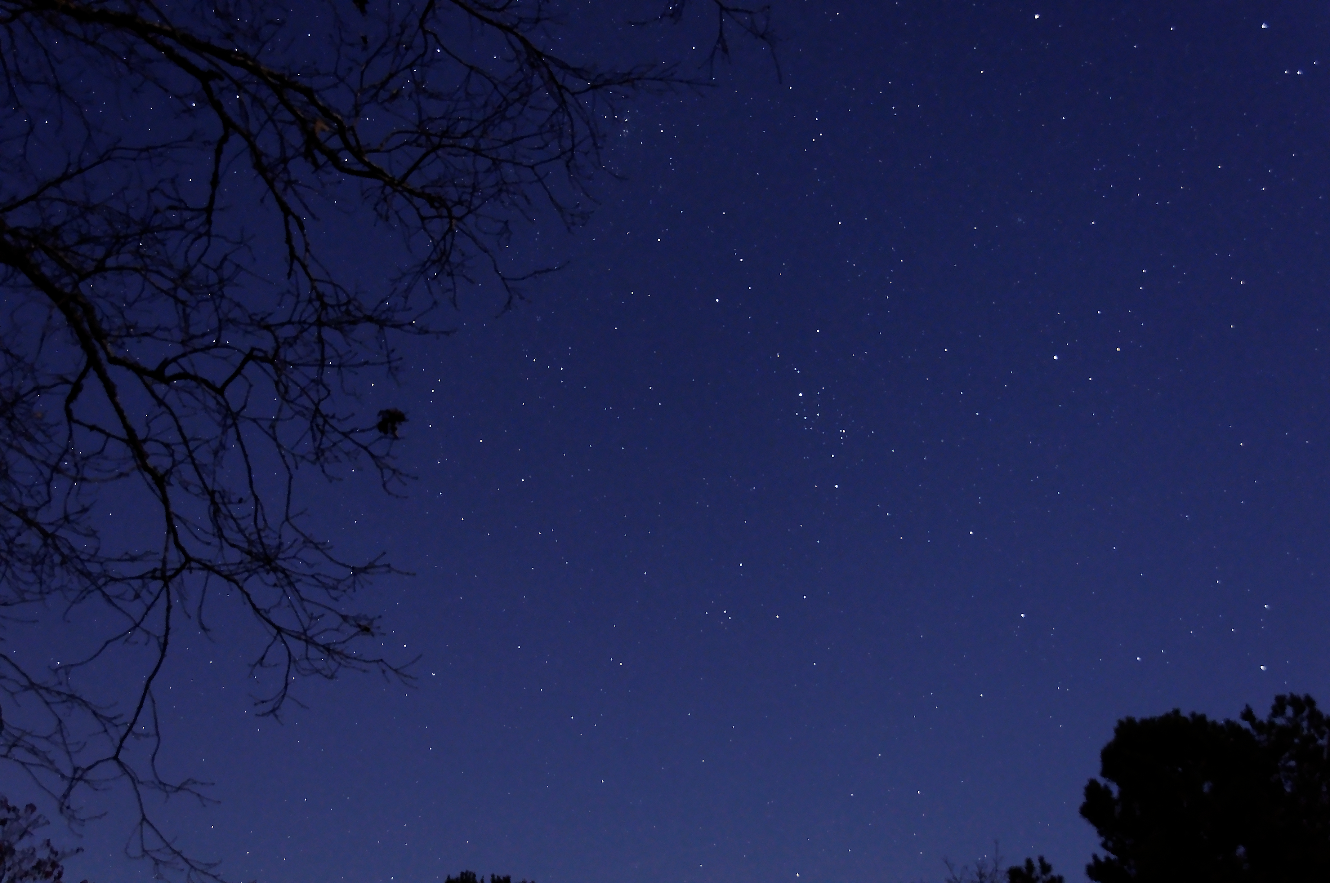
The Stars at Night - #9613
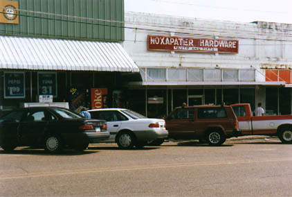
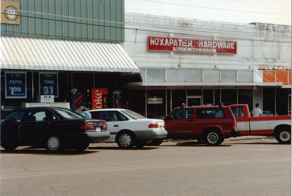
Noxapater, MS
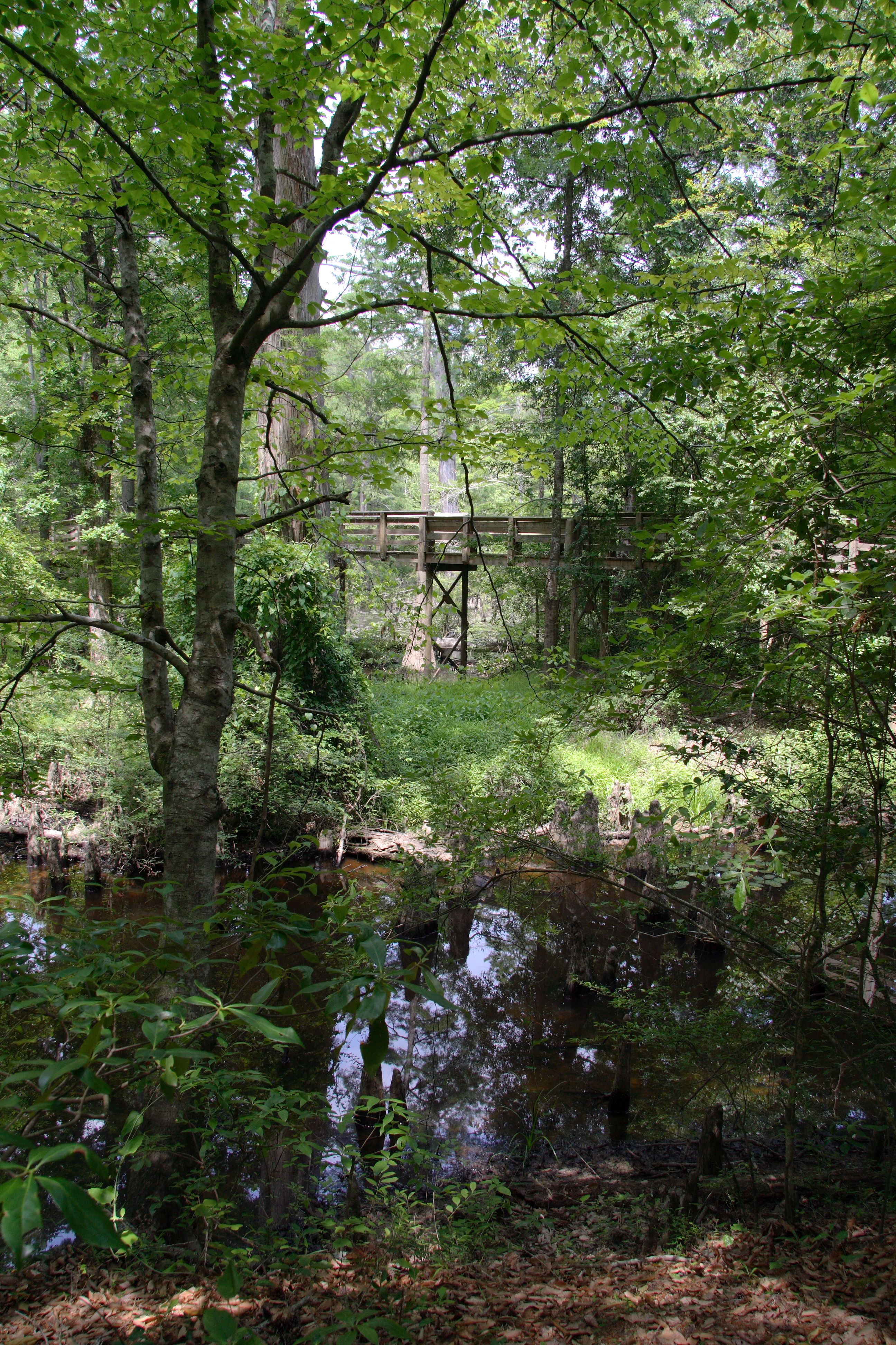
Cypress Roots - #9813
50 States: Mississippi
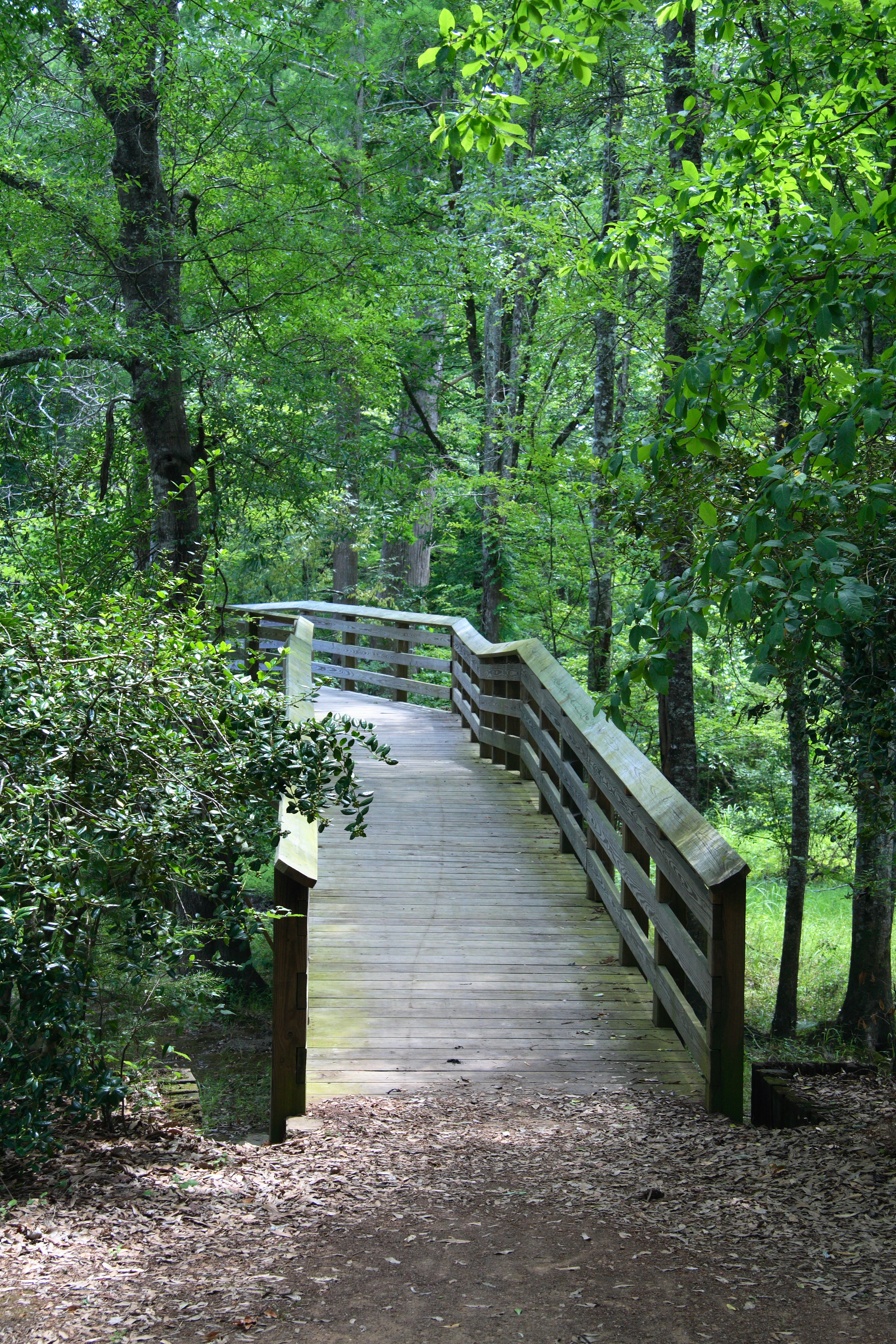
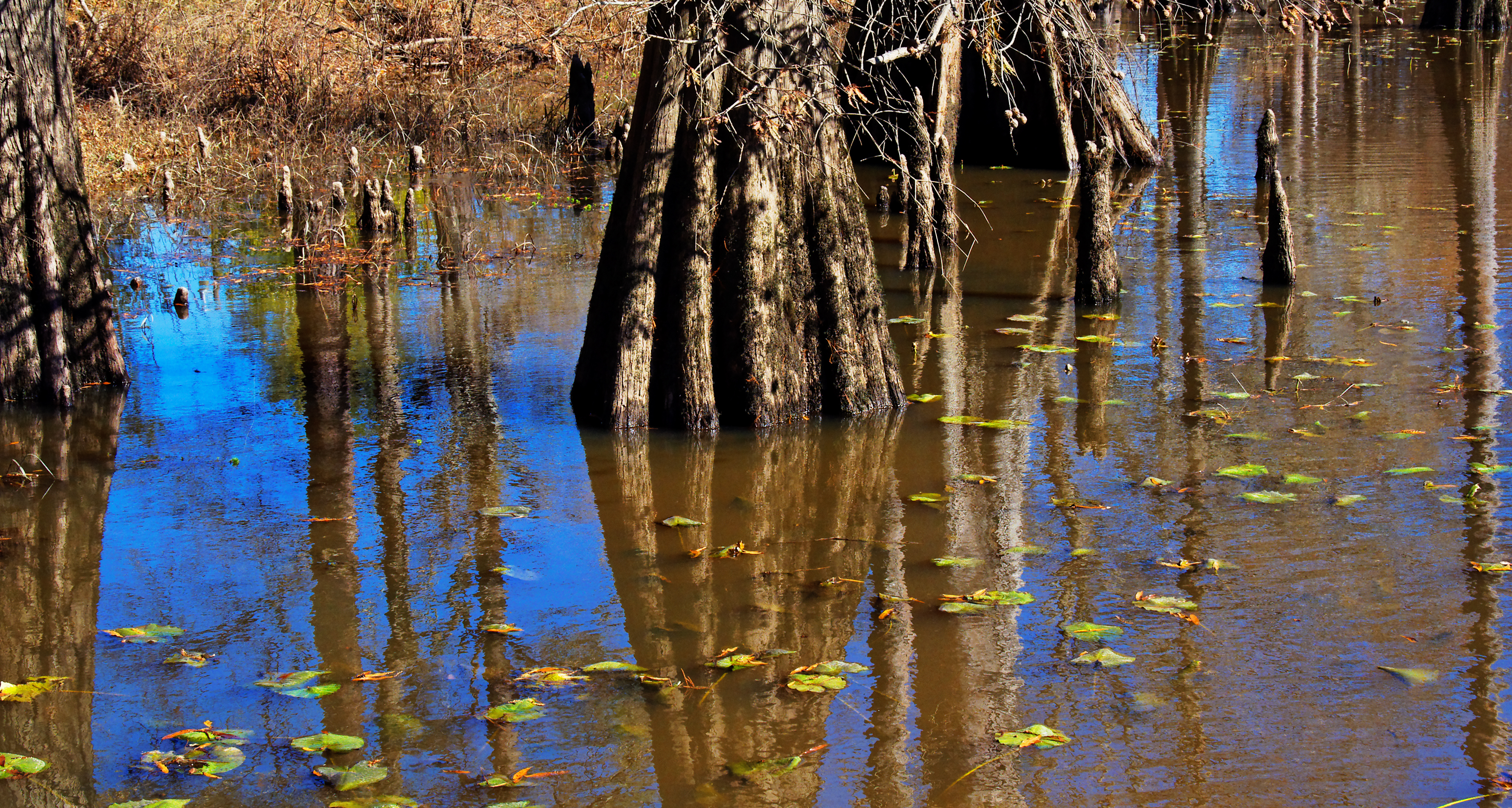
Burnside Lake
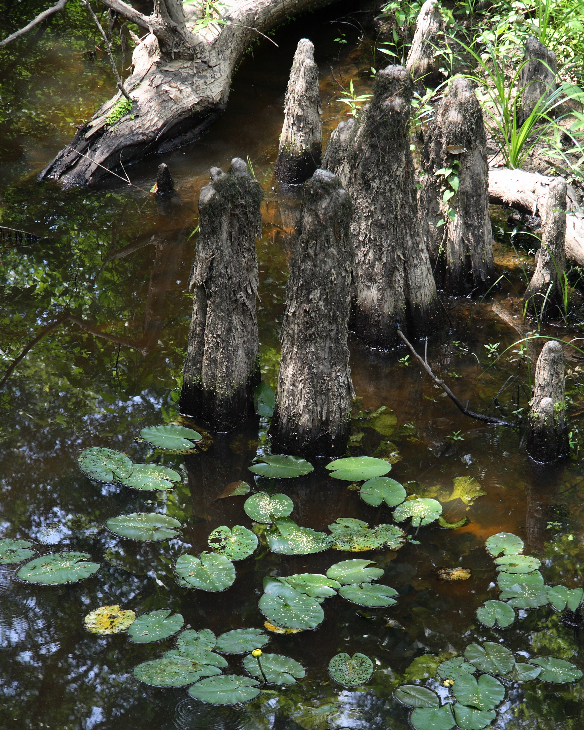
Cypress knees

Dappled ground

Dappled sky
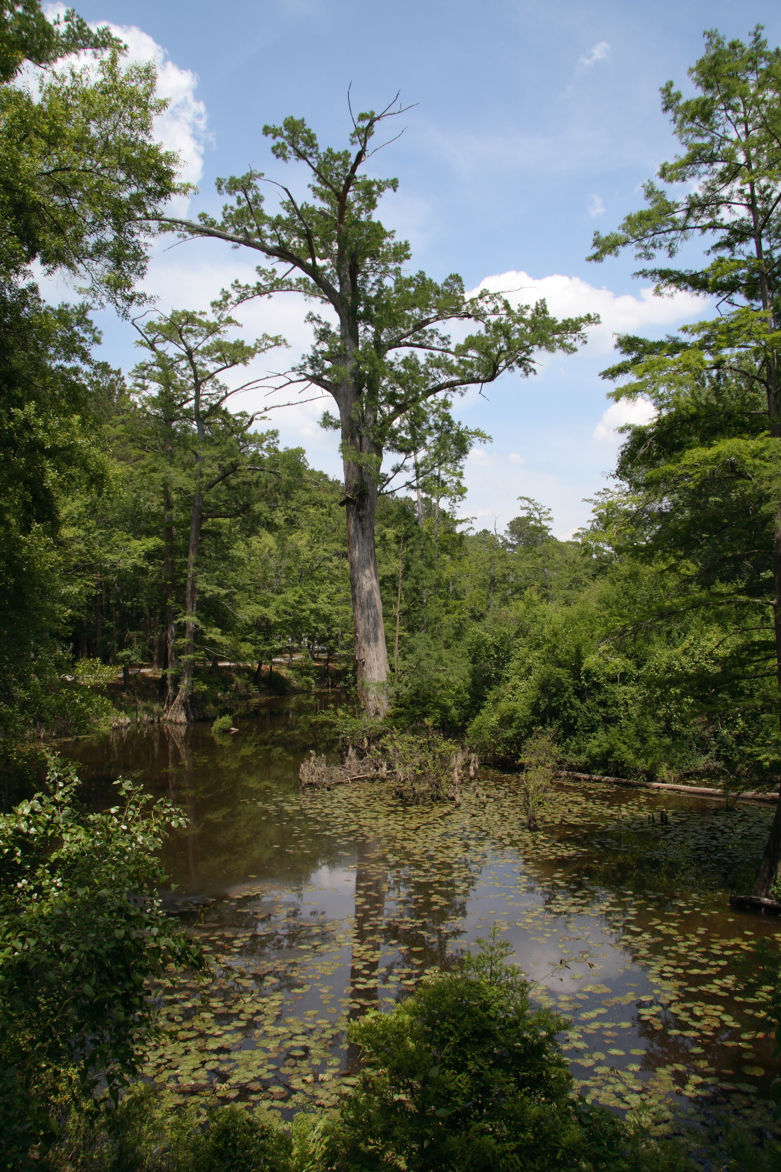
Burnside Lake
Topographic Map of Plattsburg Rd, Noxapater, MS, USA
Find elevation by address:

Places near Plattsburg Rd, Noxapater, MS, USA:
Choctaw
Noxapater
Neshoba County
Golden Moon Casino Resort
Philadelphia
Co Rd, Philadelphia, MS, USA
Miller Rd, Carthage, MS, USA
Co Rd, Philadelphia, MS, USA
Fentress-Panhandle Rd, McCool, MS, USA
MS-15, Philadelphia, MS, USA
Louisville
Jerry's Flowers & Gifts
Highpoint-Weir Rd, Louisville, MS, USA
Coosa Rd, Carthage, MS, USA
Mills Ln, Carthage, MS, USA
Ethel, MS, USA
MS-16, Carthage, MS, USA
Winston County
MS-, McCool, MS, USA
Mccool
Recent Searches:
- Elevation of Corso Fratelli Cairoli, 35, Macerata MC, Italy
- Elevation of Tallevast Rd, Sarasota, FL, USA
- Elevation of 4th St E, Sonoma, CA, USA
- Elevation of Black Hollow Rd, Pennsdale, PA, USA
- Elevation of Oakland Ave, Williamsport, PA, USA
- Elevation of Pedrógão Grande, Portugal
- Elevation of Klee Dr, Martinsburg, WV, USA
- Elevation of Via Roma, Pieranica CR, Italy
- Elevation of Tavkvetili Mountain, Georgia
- Elevation of Hartfords Bluff Cir, Mt Pleasant, SC, USA