Elevation of Mills Ln, Carthage, MS, USA
Location: United States > Mississippi > Leake County > Carthage >
Longitude: -89.447351
Latitude: 32.909686
Elevation: 144m / 472feet
Barometric Pressure: 100KPa
Elevation Map:
Satellite Map:
Related Photos:
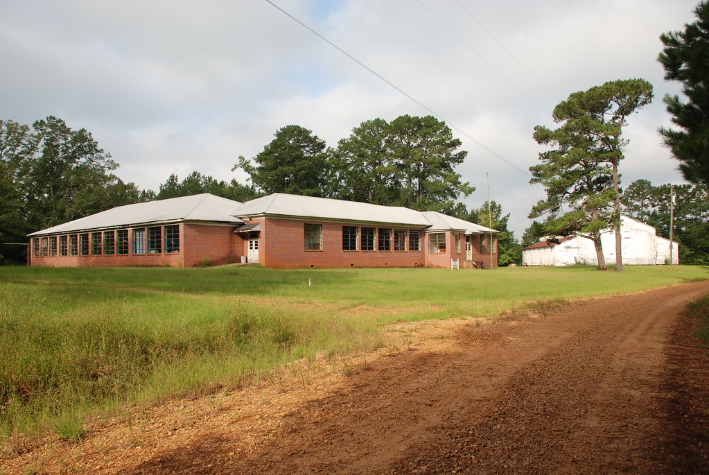
Zama School, Attala County
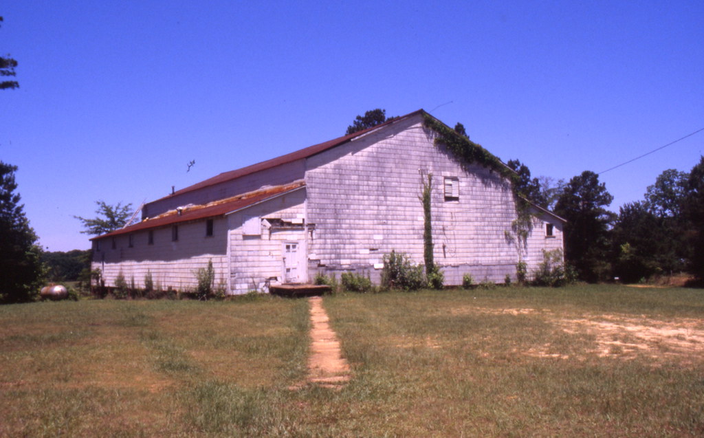
Zama Gym

Mississippi 281
Mississippi 169

My Rose Garden
Topographic Map of Mills Ln, Carthage, MS, USA
Find elevation by address:

Places near Mills Ln, Carthage, MS, USA:
Coosa Rd, Carthage, MS, USA
Hopoca Rd, Carthage, MS, USA
Leake County
MS-16, Carthage, MS, USA
Miller Rd, Carthage, MS, USA
Old Camp Rd, Carthage, MS, USA
Natchez St, Kosciusko, MS, USA
Ethel, MS, USA
Carthage
5770 Ms-429
Kosciusko
Attala Co-op
First United Methodist Church Kosciusko
Co Rd, Philadelphia, MS, USA
Kelly Town Rd, Carthage, MS, USA
Hwy 16 W, Carthage, MS, USA
Pleasant Hill Rd, Carthage, MS, USA
Williamsville Rd, Kosciusko, MS, USA
Plattsburg Rd, Noxapater, MS, USA
MS-43, Kosciusko, MS, USA
Recent Searches:
- Elevation of Corso Fratelli Cairoli, 35, Macerata MC, Italy
- Elevation of Tallevast Rd, Sarasota, FL, USA
- Elevation of 4th St E, Sonoma, CA, USA
- Elevation of Black Hollow Rd, Pennsdale, PA, USA
- Elevation of Oakland Ave, Williamsport, PA, USA
- Elevation of Pedrógão Grande, Portugal
- Elevation of Klee Dr, Martinsburg, WV, USA
- Elevation of Via Roma, Pieranica CR, Italy
- Elevation of Tavkvetili Mountain, Georgia
- Elevation of Hartfords Bluff Cir, Mt Pleasant, SC, USA