Elevation of Pirachiwadi, Maharashtra, India
Location: India > Maharashtra > Kolhapur >
Longitude: 74.1871149
Latitude: 16.4654985
Elevation: 681m / 2234feet
Barometric Pressure: 93KPa
Elevation Map:
Satellite Map:
Related Photos:

5170

5171

5131
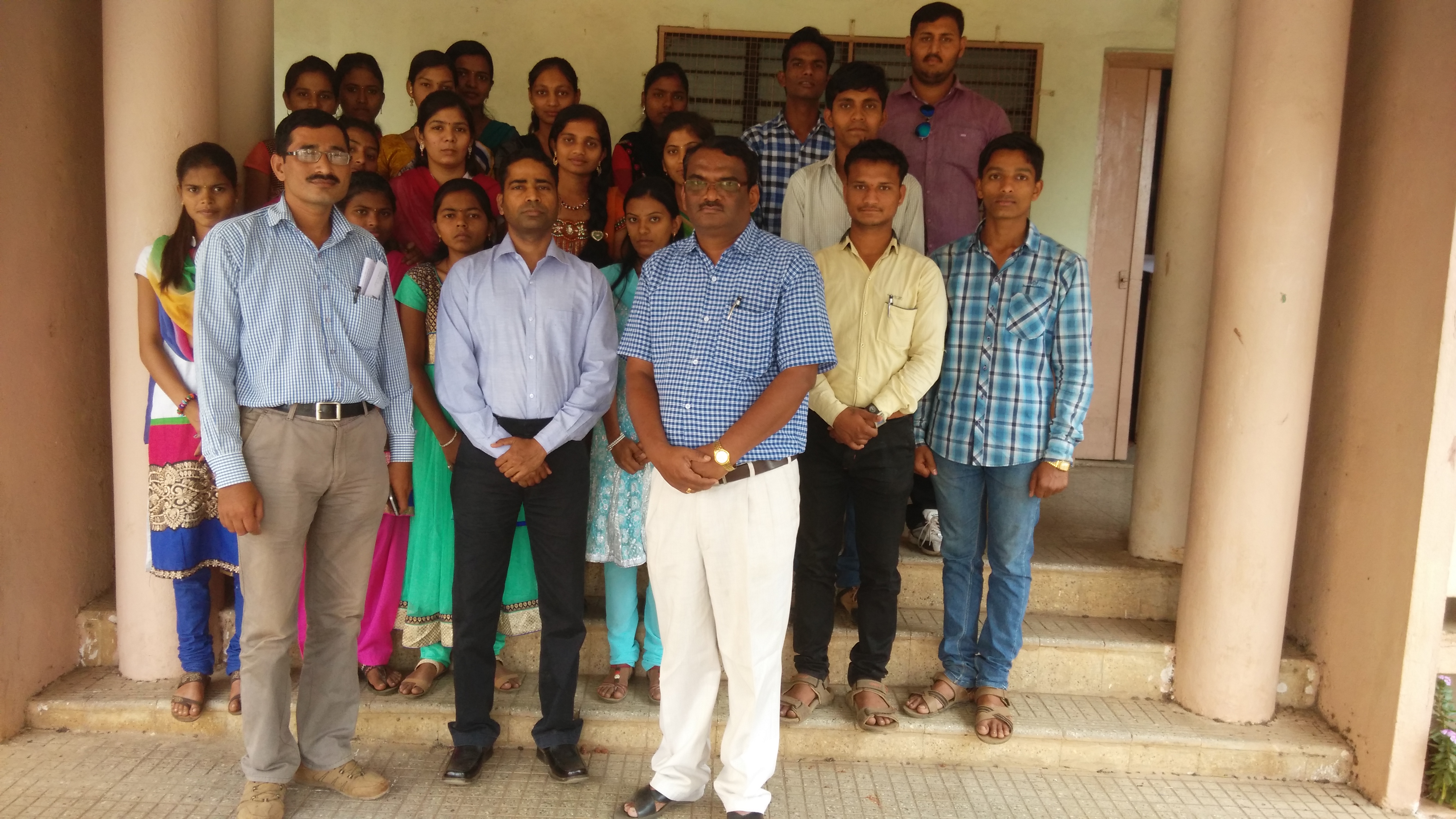
Lecture on National Science Day at Bidri, kagal, Kolhapur for Sr. & Jr college student & teachers. All Lectures since 26-02-2016 are organised by Marathi Vidnyan Parishad, Gadhinglaj

Lecture on National Science Day at Bidri, kagal, Kolhapur for Sr. & Jr college student & teachers. All Lectures since 26-02-2016 are organised by Marathi Vidnyan Parishad, Gadhinglaj

Lecture on National Science Day at Bidri, kagal, Kolhapur for Sr. & Jr college student & teachers. All Lectures since 26-02-2016 are organised by Marathi Vidnyan Parishad, Gadhinglaj

Hotel Cook

Making Flat Bread India

Papaya Tree India

the village river
Topographic Map of Pirachiwadi, Maharashtra, India
Find elevation by address:

Places near Pirachiwadi, Maharashtra, India:
Savarde Buduruk
S T Stand, Savarde Khurd
Savarde Bk.
Savarde Kh.
Sake
Kurni
Kenavade
Kembali
Malage Khurd
Surupali
Yamage
Sonage Post Office
Shendur
Malwadi
Doulatwadi
Bastawade
Mhakave
Benikre
Koulage
Hamidwada
Recent Searches:
- Elevation of Corso Fratelli Cairoli, 35, Macerata MC, Italy
- Elevation of Tallevast Rd, Sarasota, FL, USA
- Elevation of 4th St E, Sonoma, CA, USA
- Elevation of Black Hollow Rd, Pennsdale, PA, USA
- Elevation of Oakland Ave, Williamsport, PA, USA
- Elevation of Pedrógão Grande, Portugal
- Elevation of Klee Dr, Martinsburg, WV, USA
- Elevation of Via Roma, Pieranica CR, Italy
- Elevation of Tavkvetili Mountain, Georgia
- Elevation of Hartfords Bluff Cir, Mt Pleasant, SC, USA