Elevation of Pioneer Volcano Road & Ohls Road, Pioneer Volcano Rd & Ohls Rd, California, USA
Location: United States > California > Alpine County > Pioneer >
Longitude: -120.61175
Latitude: 38.4202879
Elevation: 757m / 2484feet
Barometric Pressure: 93KPa
Elevation Map:
Satellite Map:
Related Photos:

Miwok Ceremonial Roundhouse, 6 of 6

Indian Grinding Rock

Panorama from the Mokelumne Hill Airstrip

Rainy view of our 2004 30' Classic Airstream

Jackson Butte from Mokelumne Hill
Black Chasm Cavern

Jackson, California

Miwok Ceremonial Roundhouse, 4 of 6

Miwok Ceremonial Roundhouse, 5 of 6
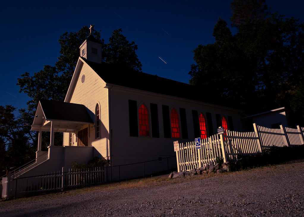
St. Bernard's Church

Miwok Ceremonial Roundhouse, 2 of 6
This is the view from my grandpa's front porch. I wouldn't mind waking up to this every morning. #photooftheday

Nice Mountain View 1
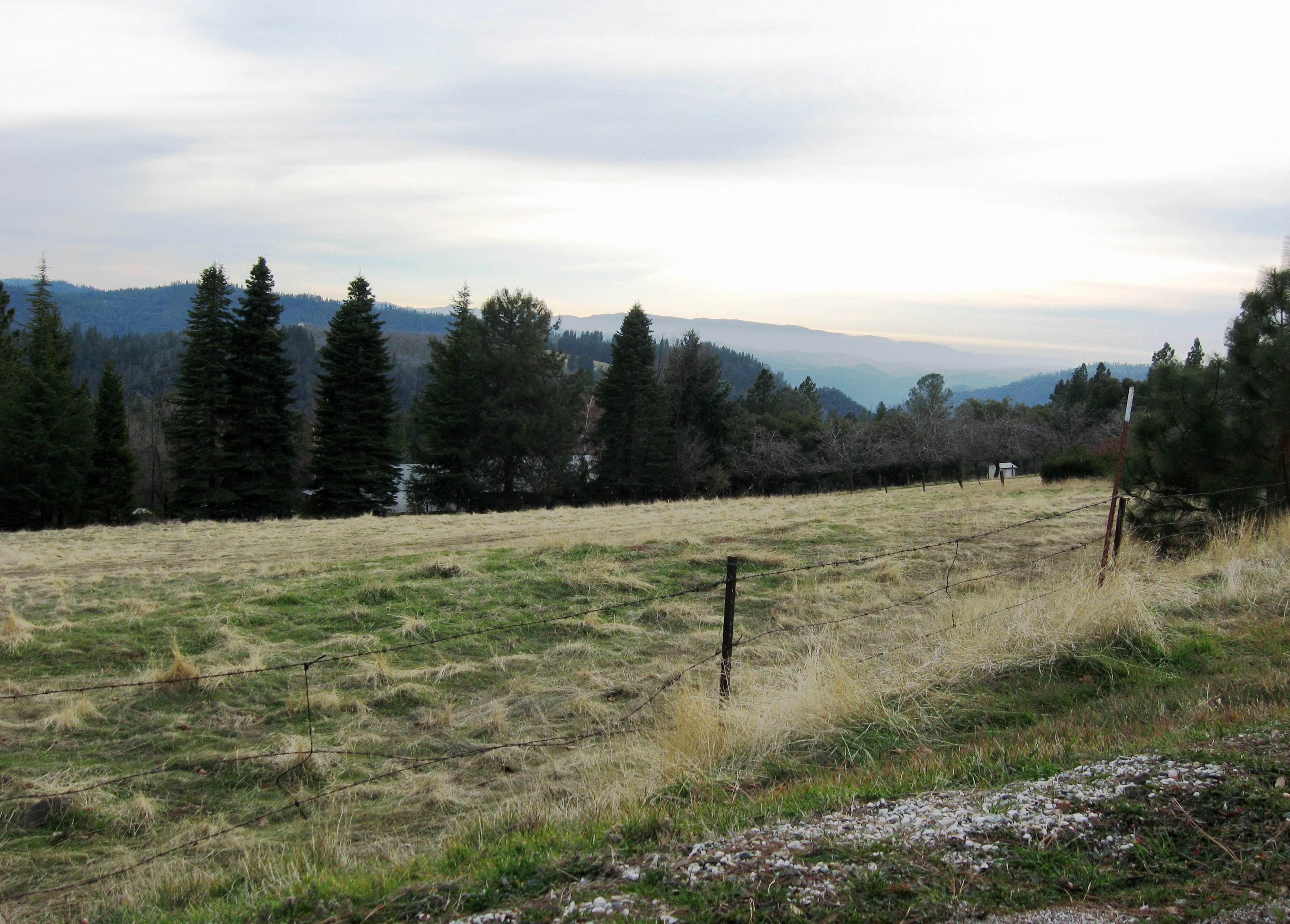
Nice View 3

Nice View 2

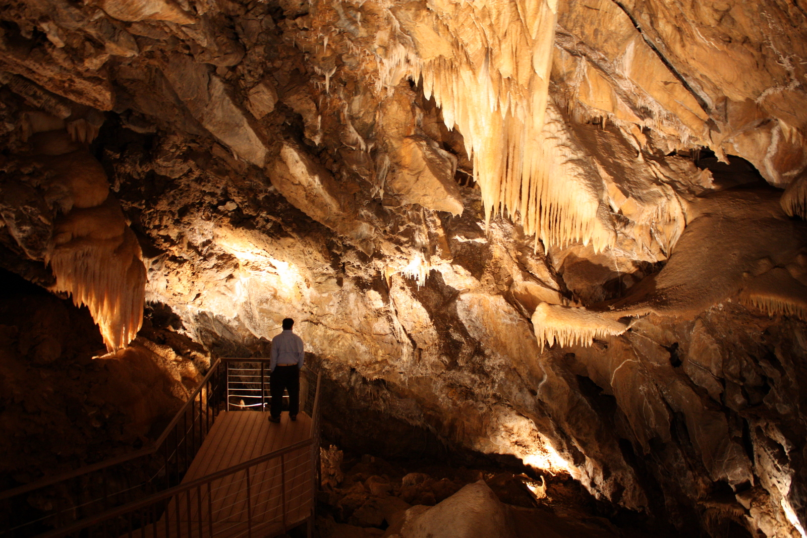
Stalactites in Black Chasm Cavern, Volcano, California

Black Chasm Caverns

Black Chasm Cavern

Black Chasm Caverns

Black Chasm Caverns

Black Chasm Caverns

Tabeaud Lake

u’macha (bark house)

Driven, Winery

cloud & glass

chaw’se

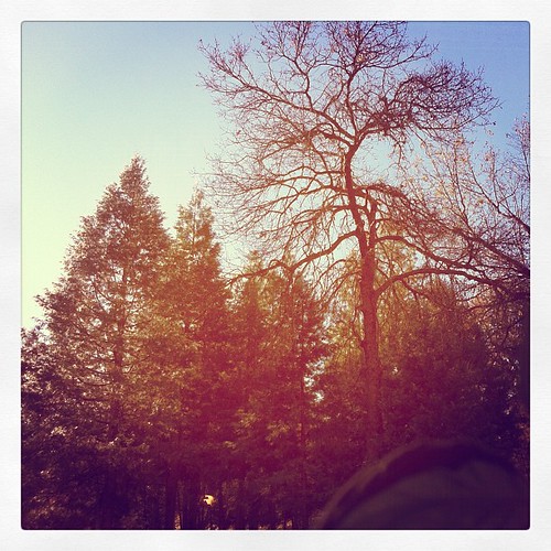
The Veins of an Oak at Sunset - Sutter Creek, CA

Blooming hills
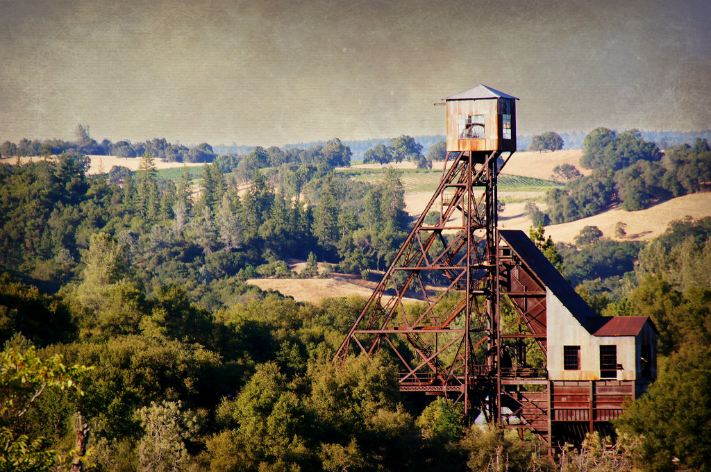
Kennedy Goldmine Headframe

Odd Fellows Hall, Mokelumne Hill
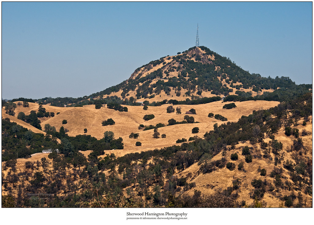
Jackson Butte from Mokelumne Hill Airstrip (2)

Black Chasm Cave Tour

Drapery Stalactites
Topographic Map of Pioneer Volcano Road & Ohls Road, Pioneer Volcano Rd & Ohls Rd, California, USA
Find elevation by address:

Places near Pioneer Volcano Road & Ohls Road, Pioneer Volcano Rd & Ohls Rd, California, USA:
22549 Madrone Dr
22529 Madrone Dr
Pioneer Volcano Road & California 88
Pioneer Volcano Road & Diamond View Drive
Pioneer Volcano Road & Diamond View Drive
Amador Automotive
California 88 & California 26
Sierra Yard Supply & Equipment
California 88 & Alaire Lane
Red Corral Mini Mart
Pioneer Volcano Road & Gold Dust Road
14855 Diamond View Dr
22745 Red Corral Rd
13985 Rolling Hills Ct
15235 Pioneer Volcano Rd
23070 Alaire Ln
15385 Quartz Rd
23141 Alaire Ln
22301 Volcano Hills Rd
Church At The Cross
Recent Searches:
- Elevation of Corso Fratelli Cairoli, 35, Macerata MC, Italy
- Elevation of Tallevast Rd, Sarasota, FL, USA
- Elevation of 4th St E, Sonoma, CA, USA
- Elevation of Black Hollow Rd, Pennsdale, PA, USA
- Elevation of Oakland Ave, Williamsport, PA, USA
- Elevation of Pedrógão Grande, Portugal
- Elevation of Klee Dr, Martinsburg, WV, USA
- Elevation of Via Roma, Pieranica CR, Italy
- Elevation of Tavkvetili Mountain, Georgia
- Elevation of Hartfords Bluff Cir, Mt Pleasant, SC, USA