Elevation of Pinkney Church Rd, Fremont, NC, USA
Location: United States > North Carolina > Wayne County >
Longitude: -78.06556
Latitude: 35.524745
Elevation: 45m / 148feet
Barometric Pressure: 101KPa
Elevation Map:
Satellite Map:
Related Photos:

Pine View Motel, Kenly, NC

Pine View Motel, Kenly, NC
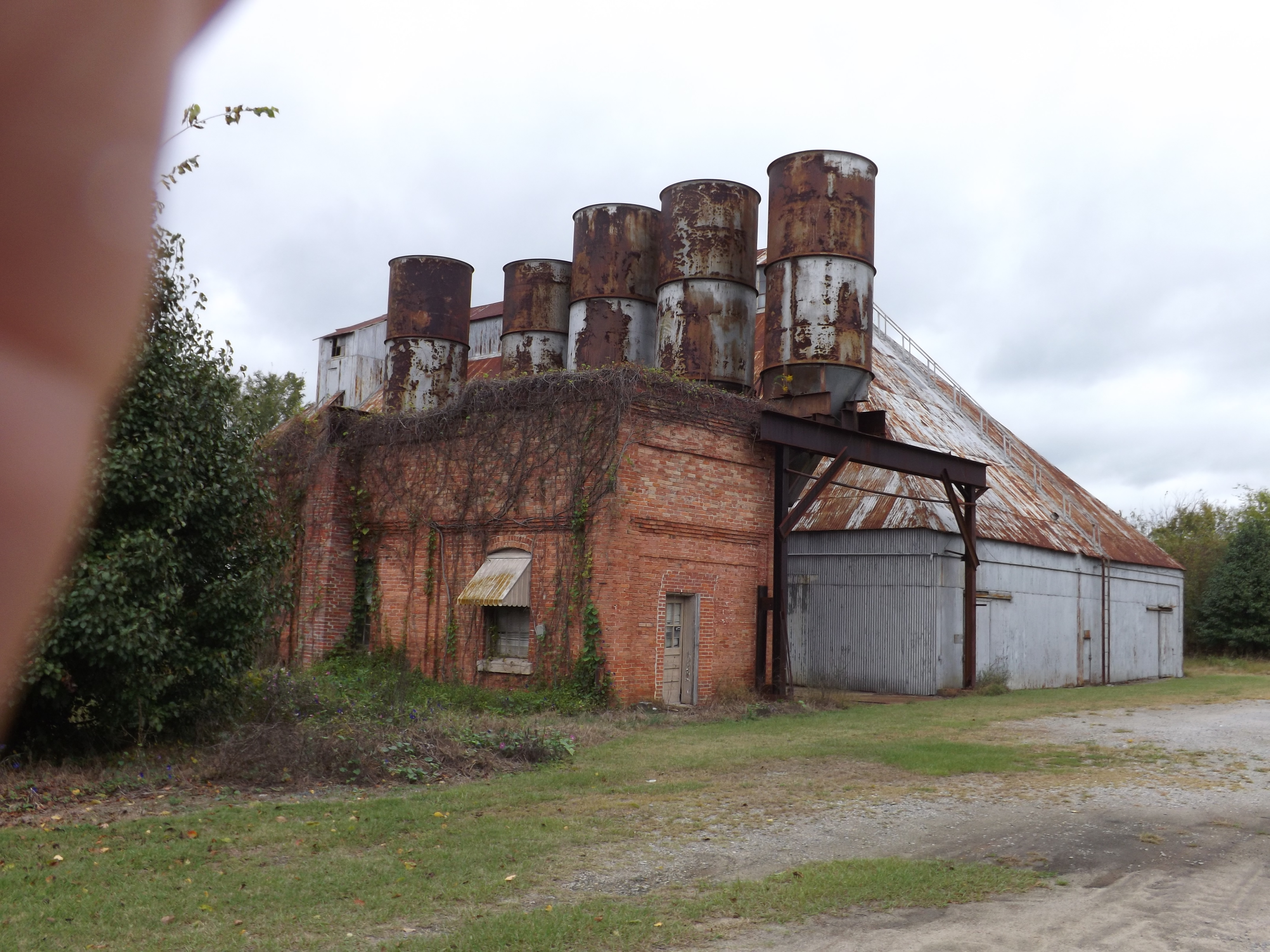
Pine Level Grain(?)

Rainbow center
Passing through Kenley NC
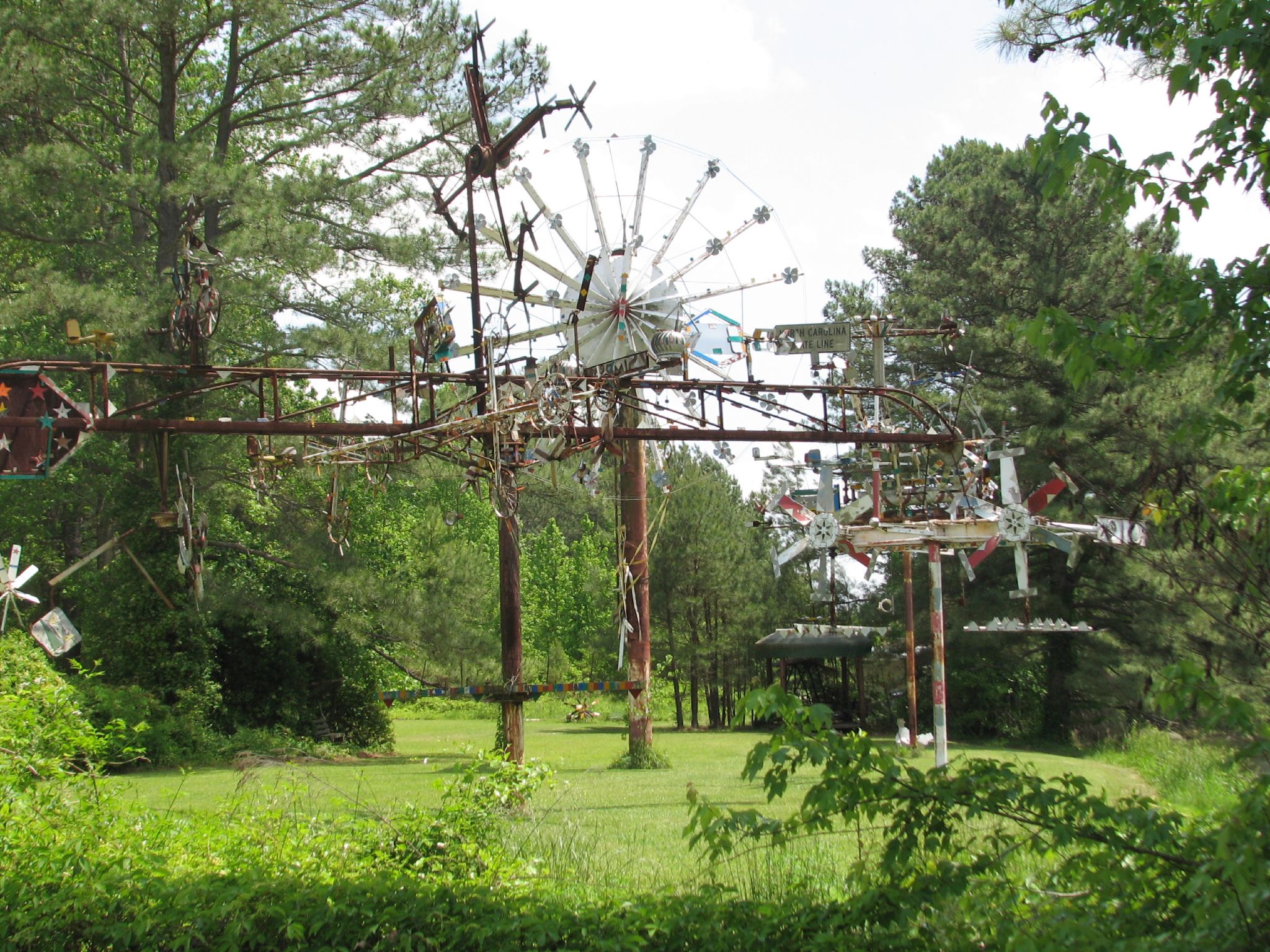
Park View Vollis Simpson Whirligig 6339

Colorful Sunrise
IT'S ELECTRIC

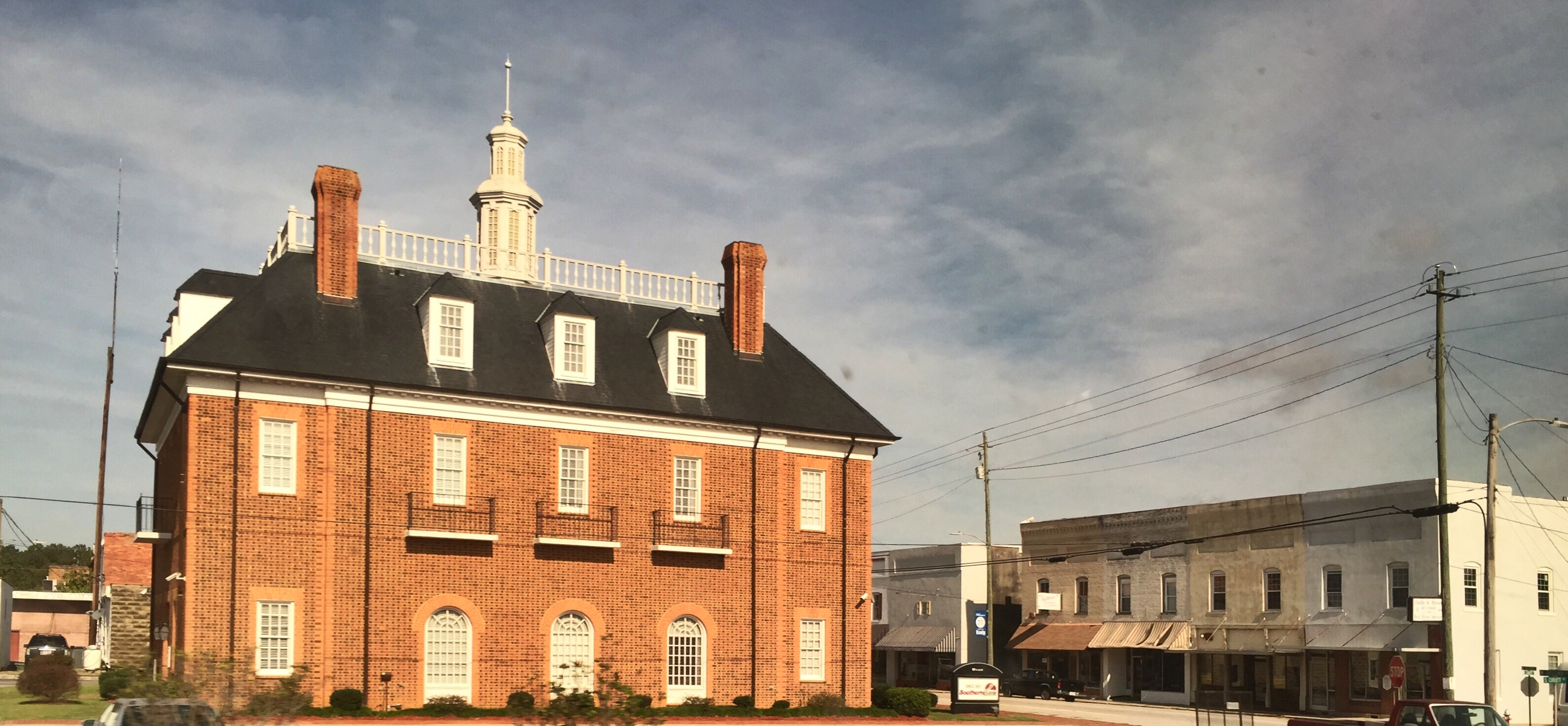
The Town of Pikeville

Cloud filled sunrise
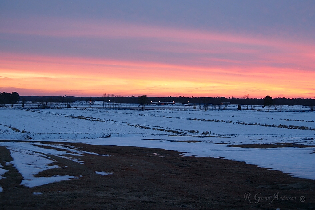
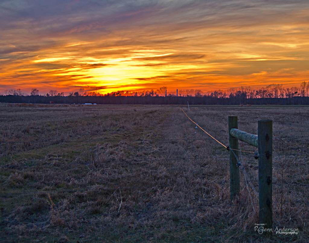
Winter Sunset
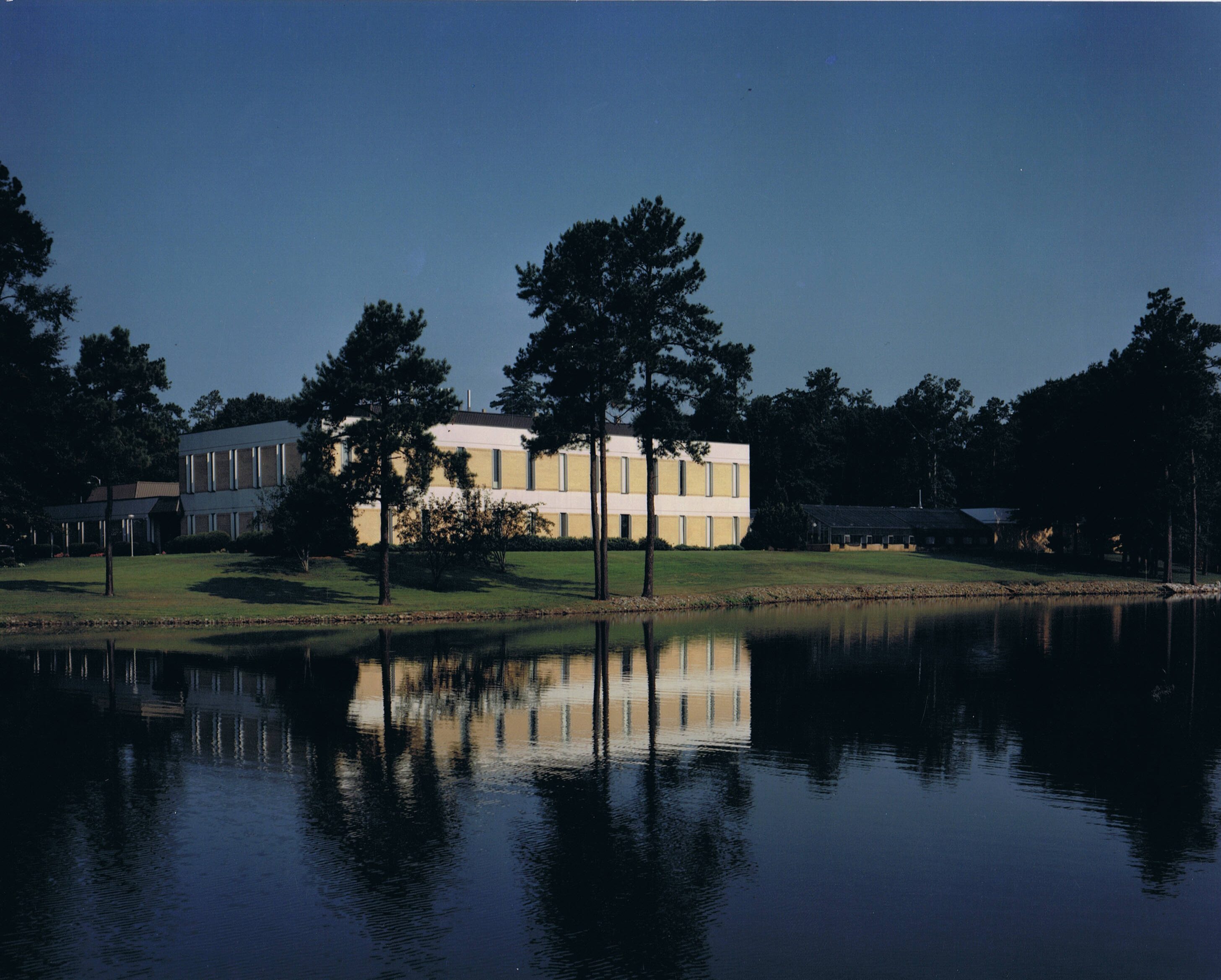
Ag Research Facility

Frosty Morning
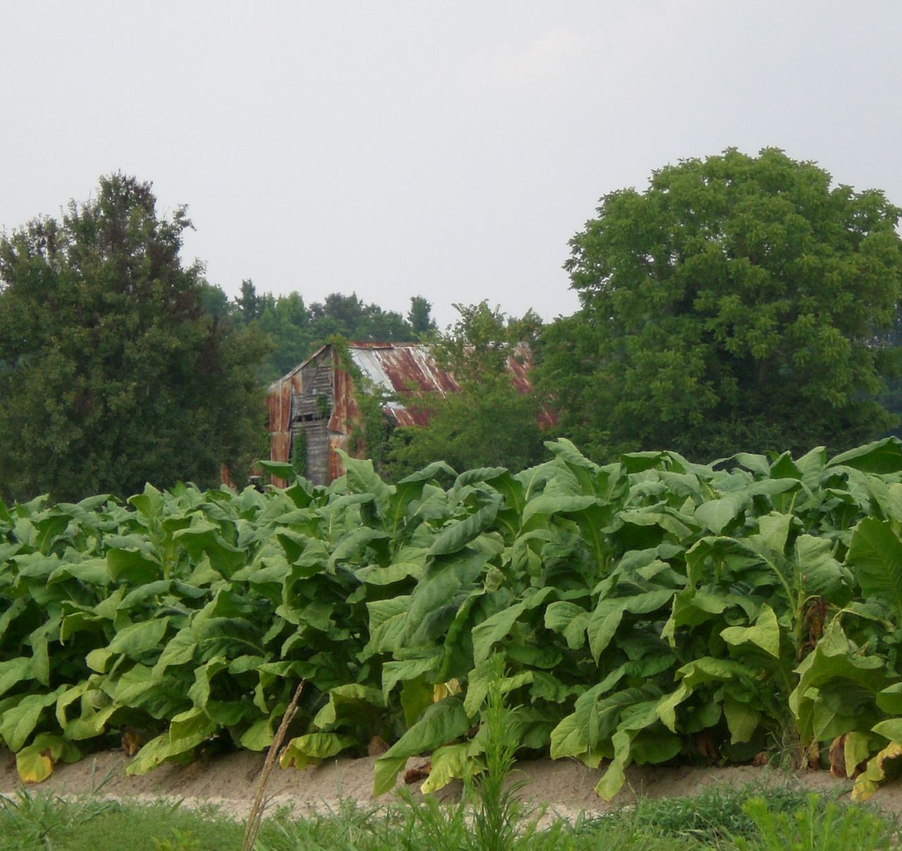
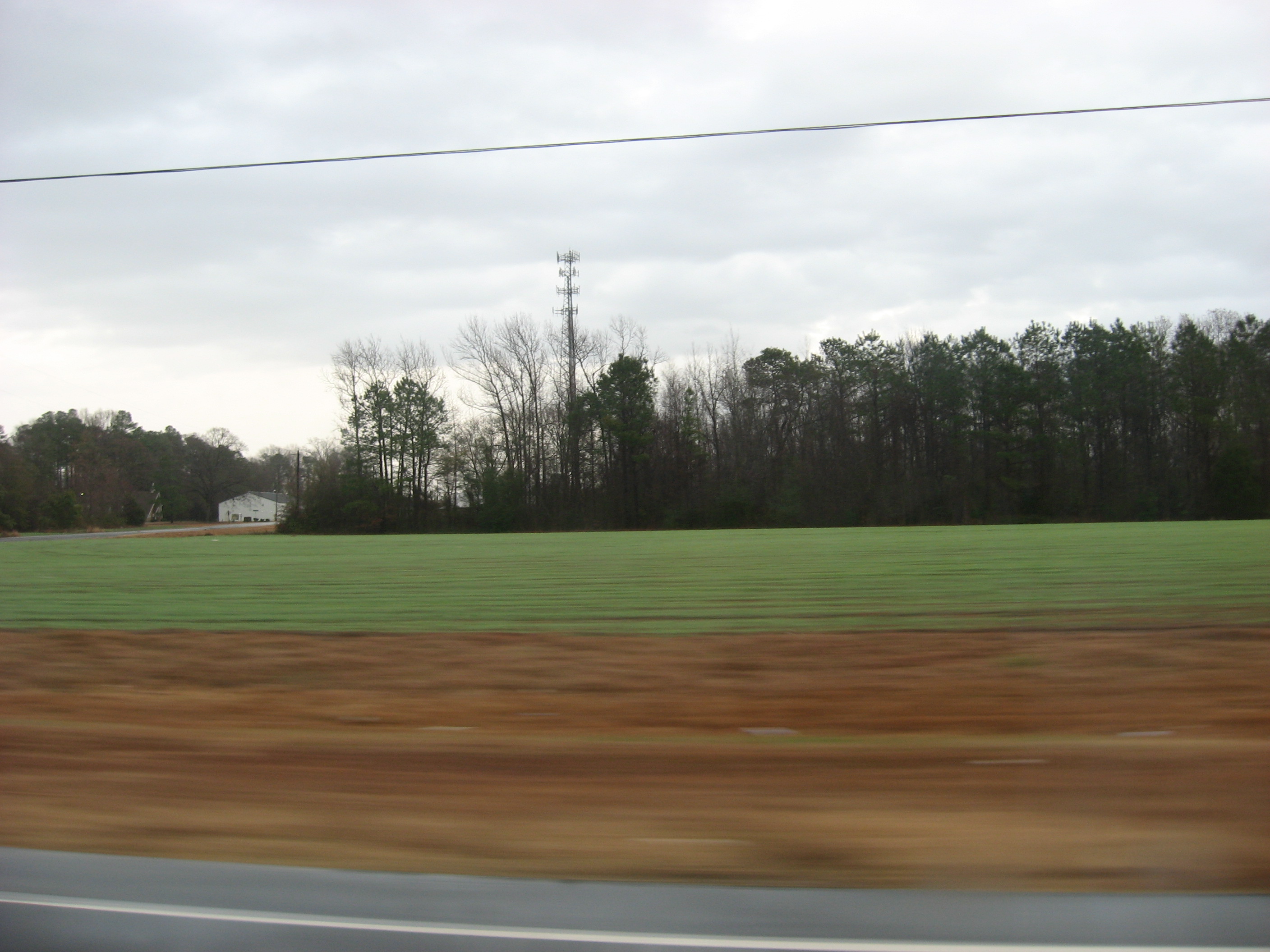
Tobacco Fields
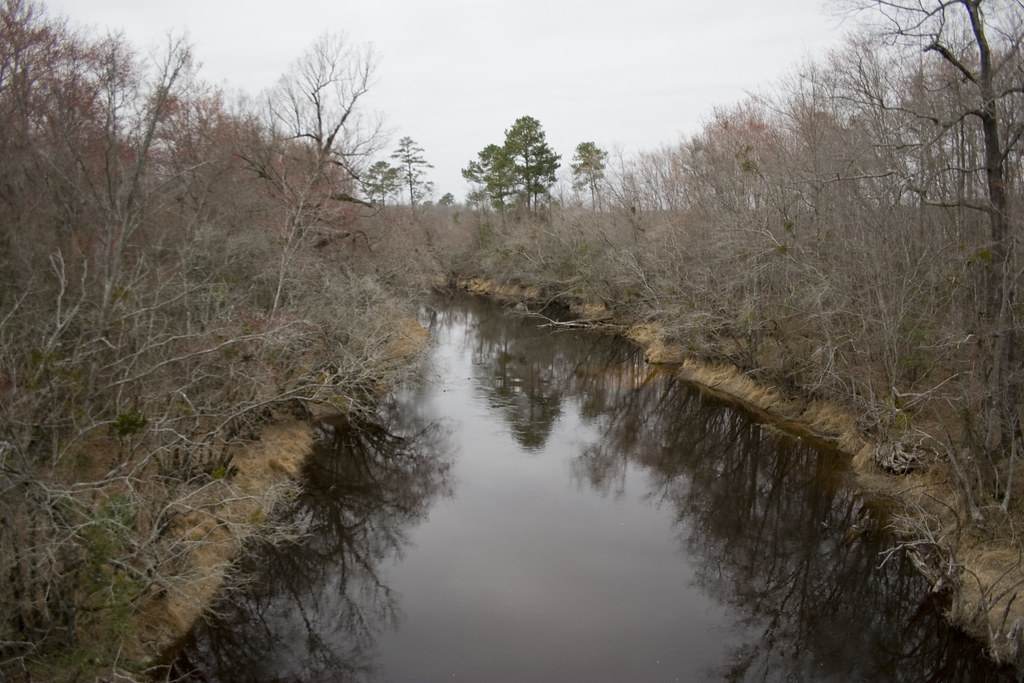
Tar River
Picture 010
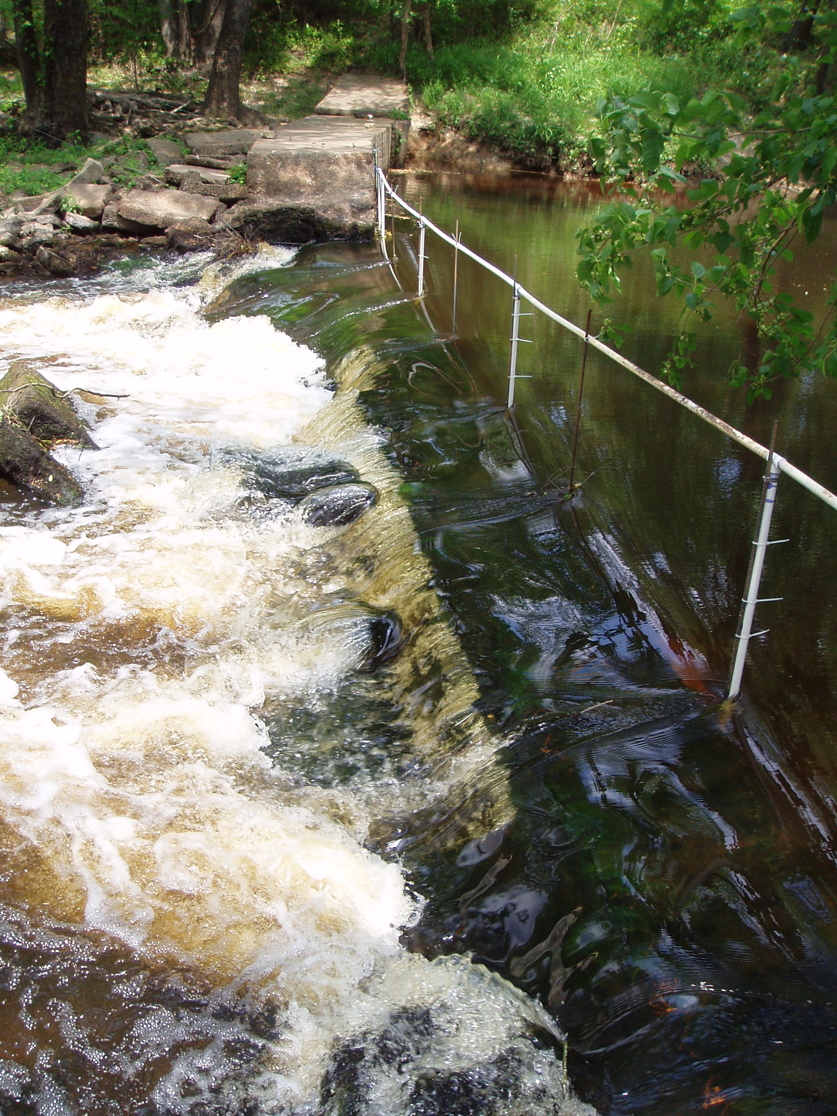
notched dam
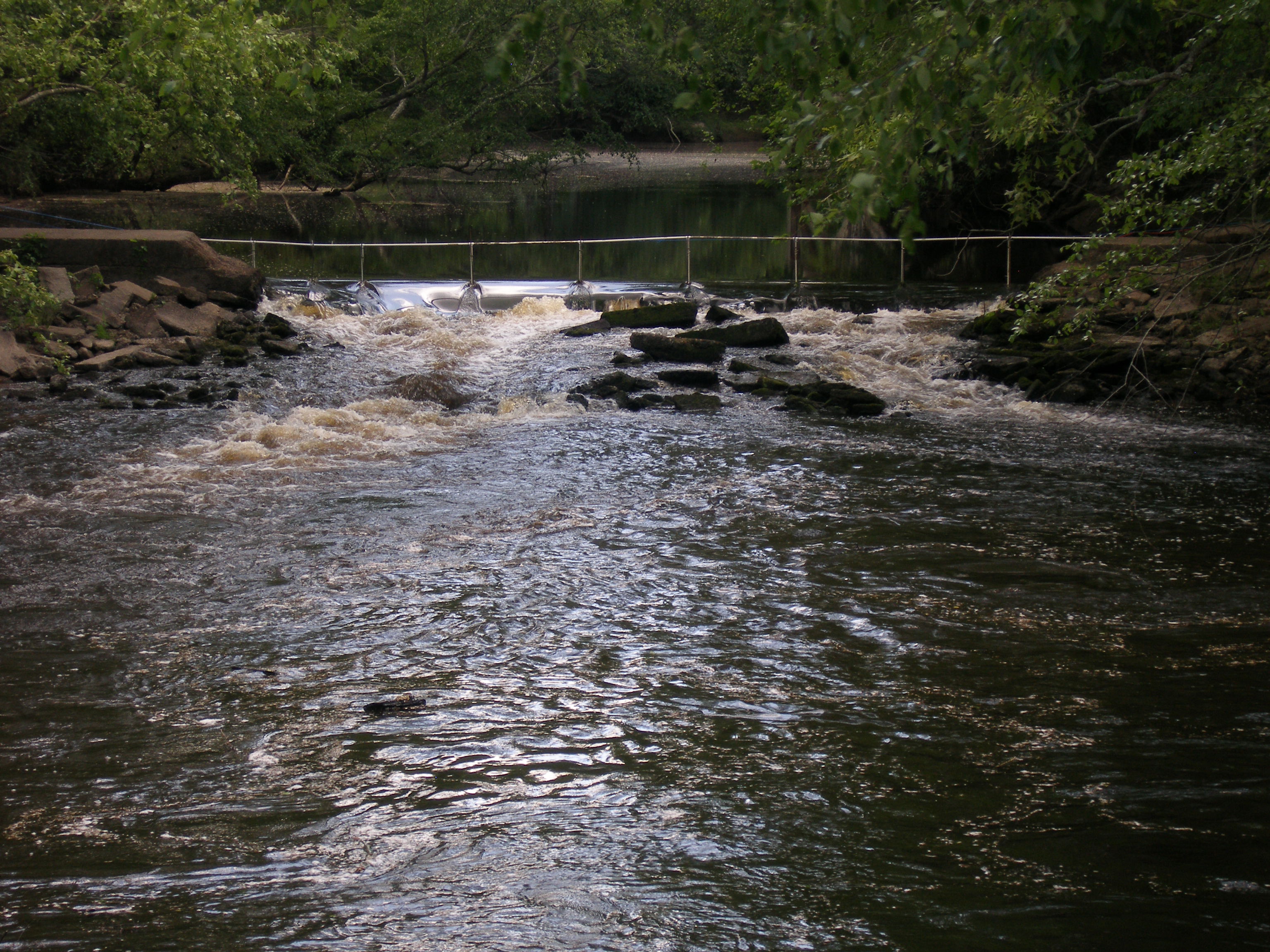
notched dam pit antenna
Topographic Map of Pinkney Church Rd, Fremont, NC, USA
Find elevation by address:

Places near Pinkney Church Rd, Fremont, NC, USA:
Radford Road
Kenly
Beulah
Springhill Church Rd, Lucama, NC, USA
Old Stancil Rd, Kenly, NC, USA
Springhill
Springfield School Road
128 Cessna Ln
Pine Level
3088 Nc-39
North Carolina 39
49 Dr M.l.k. Jr. Way
Selma
Selma
1003 S Pollock St
708 N Brightleaf Blvd
Turner Drive
Smithfield
Smithfield Neuse Riverwalk
520 Buffalo Rd
Recent Searches:
- Elevation of Corso Fratelli Cairoli, 35, Macerata MC, Italy
- Elevation of Tallevast Rd, Sarasota, FL, USA
- Elevation of 4th St E, Sonoma, CA, USA
- Elevation of Black Hollow Rd, Pennsdale, PA, USA
- Elevation of Oakland Ave, Williamsport, PA, USA
- Elevation of Pedrógão Grande, Portugal
- Elevation of Klee Dr, Martinsburg, WV, USA
- Elevation of Via Roma, Pieranica CR, Italy
- Elevation of Tavkvetili Mountain, Georgia
- Elevation of Hartfords Bluff Cir, Mt Pleasant, SC, USA