Elevation of Pine View Dr, Middletown, CA, USA
Location: United States > California > Lake County > Middletown >
Longitude: -122.71036
Latitude: 38.8069419
Elevation: 823m / 2700feet
Barometric Pressure: 92KPa
Elevation Map:
Satellite Map:
Related Photos:
Autumn in Lake
Eagle Rock
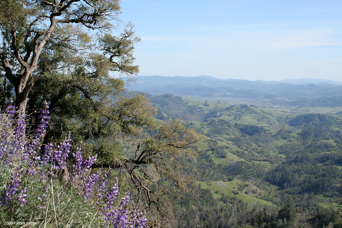
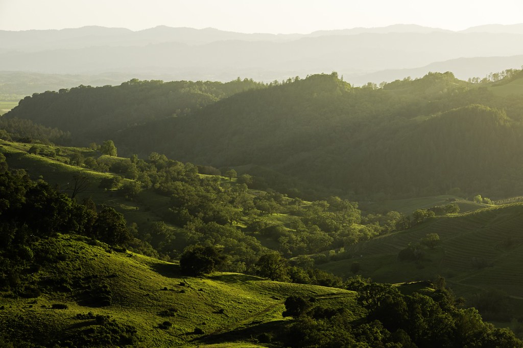
Valley Panorama

Misty Moon
Geyser Road
dome view
Steep Slopes
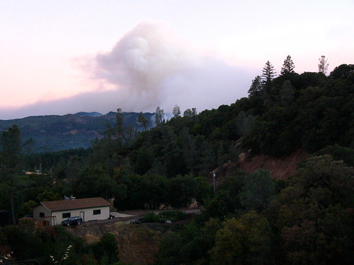
What They're Up Against
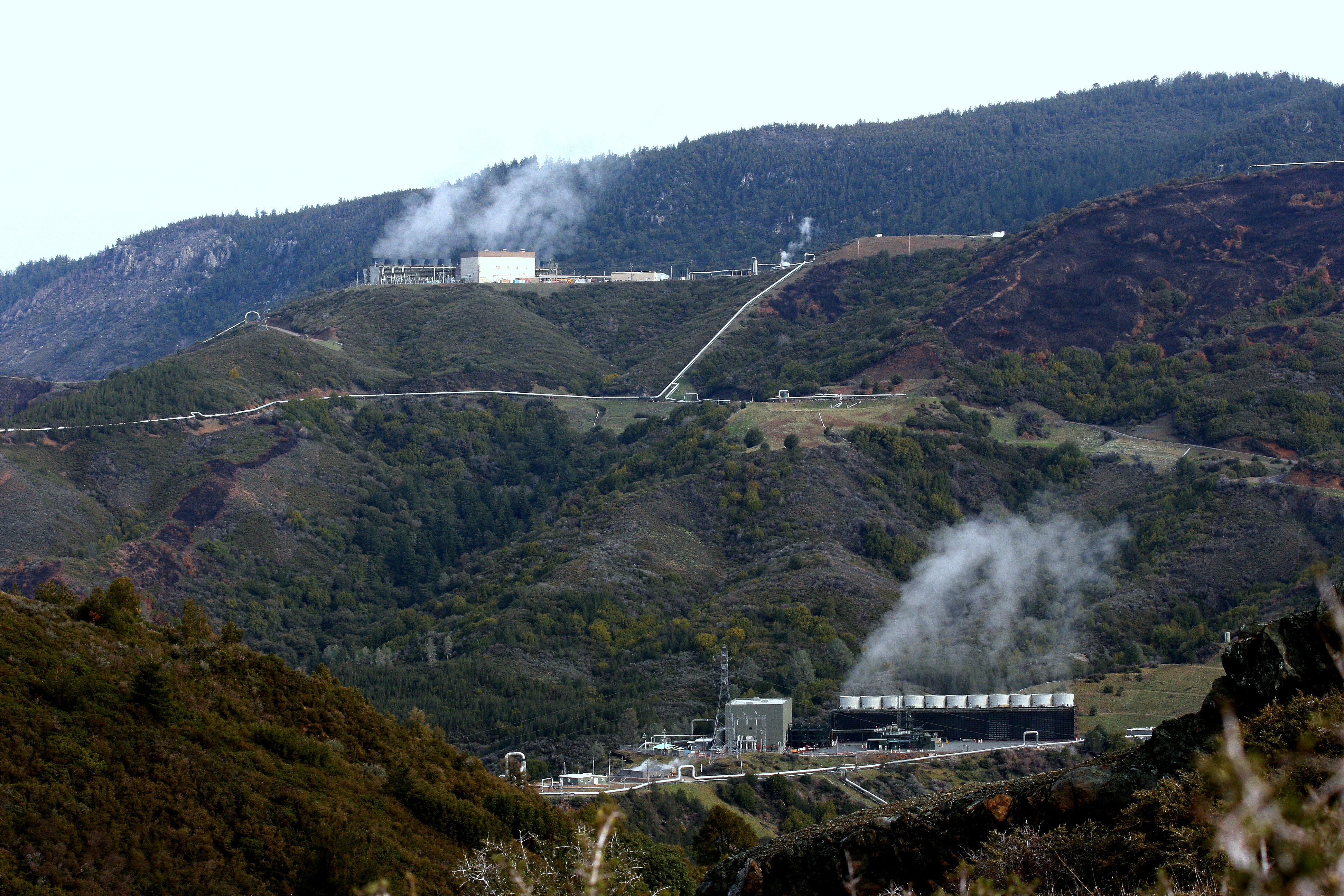
The Geysers steam field
The Drop
The Drop
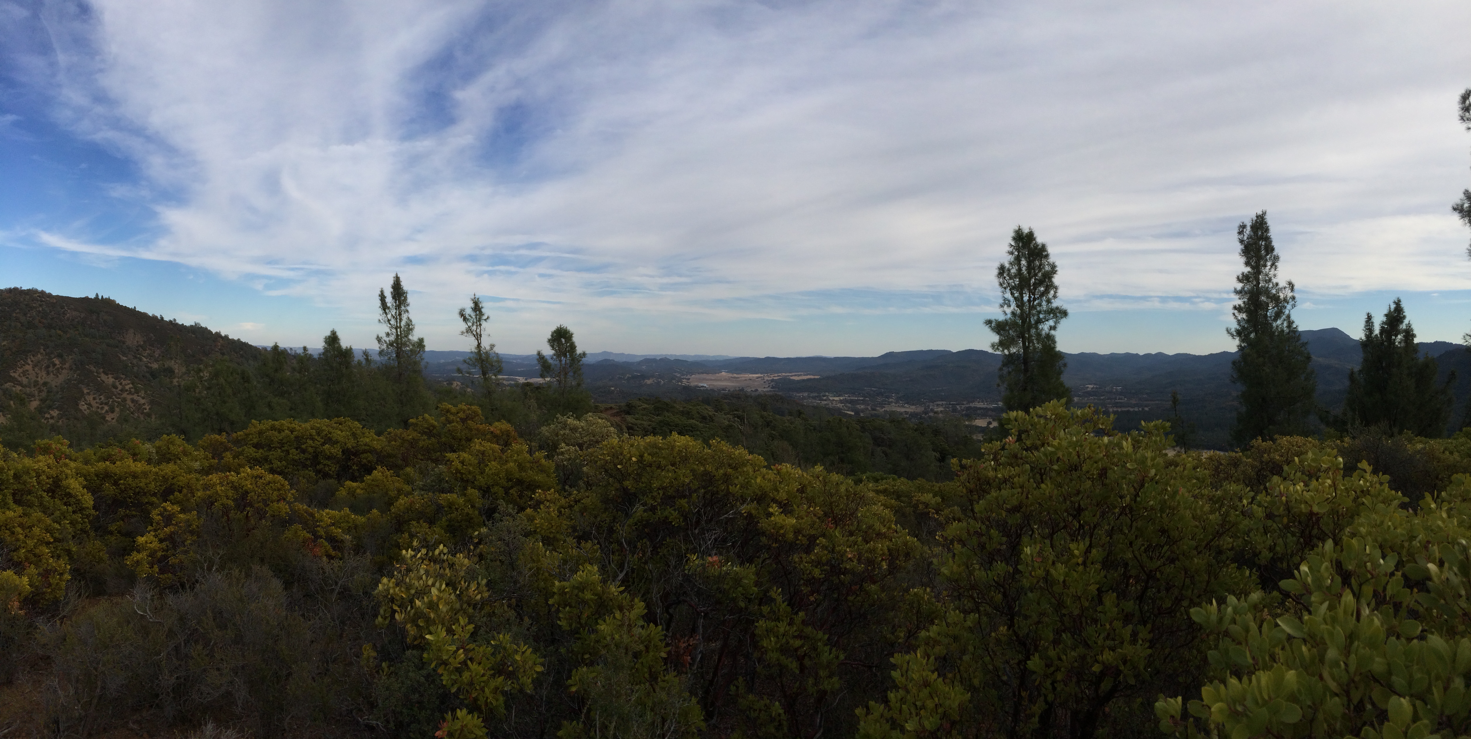
View From Pine Flat
The Rage at Cal Pine

Copter on Patrol Surrounded by the Odds
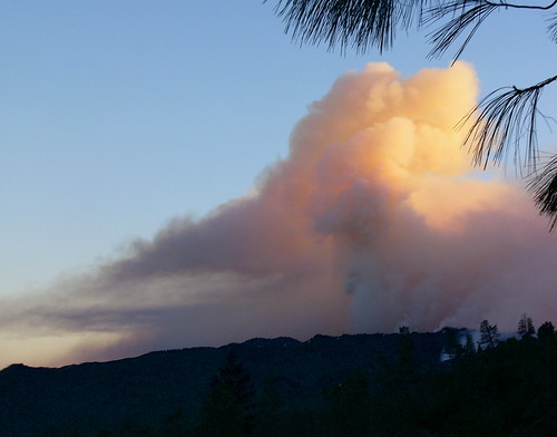
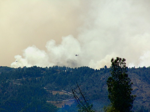
Closer views of the rising Smoke
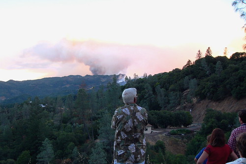
Worried Cobb Mountain Residents
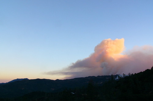
The Picture of Beauty and Rage
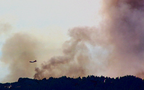
Air Tanker Support
Threatened Dwelling One Ridge Away
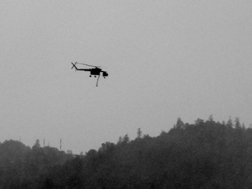
Helo Silouette

Valley Fire View from Hidden Valley Lake
Mt. St. Helena from Geyers Peak. #geyersroad #mountsainthelena #mountains #geyserspeak #healdsburg #alexandervalley

Fog Shrouded Valley

Buckeye, Pine Flat Road, Sonoma Co, April 1998

Buckeye, Pine Flat Road, Sonoma CO, Early Spring, 1998

_9110047.NEF

Hiking in Cobb. California (United States)

Rows of Gold

Artemisiospiza belli belli Bell's Sparrow
photo (1)

_9110049.NEF

_9110056.NEF
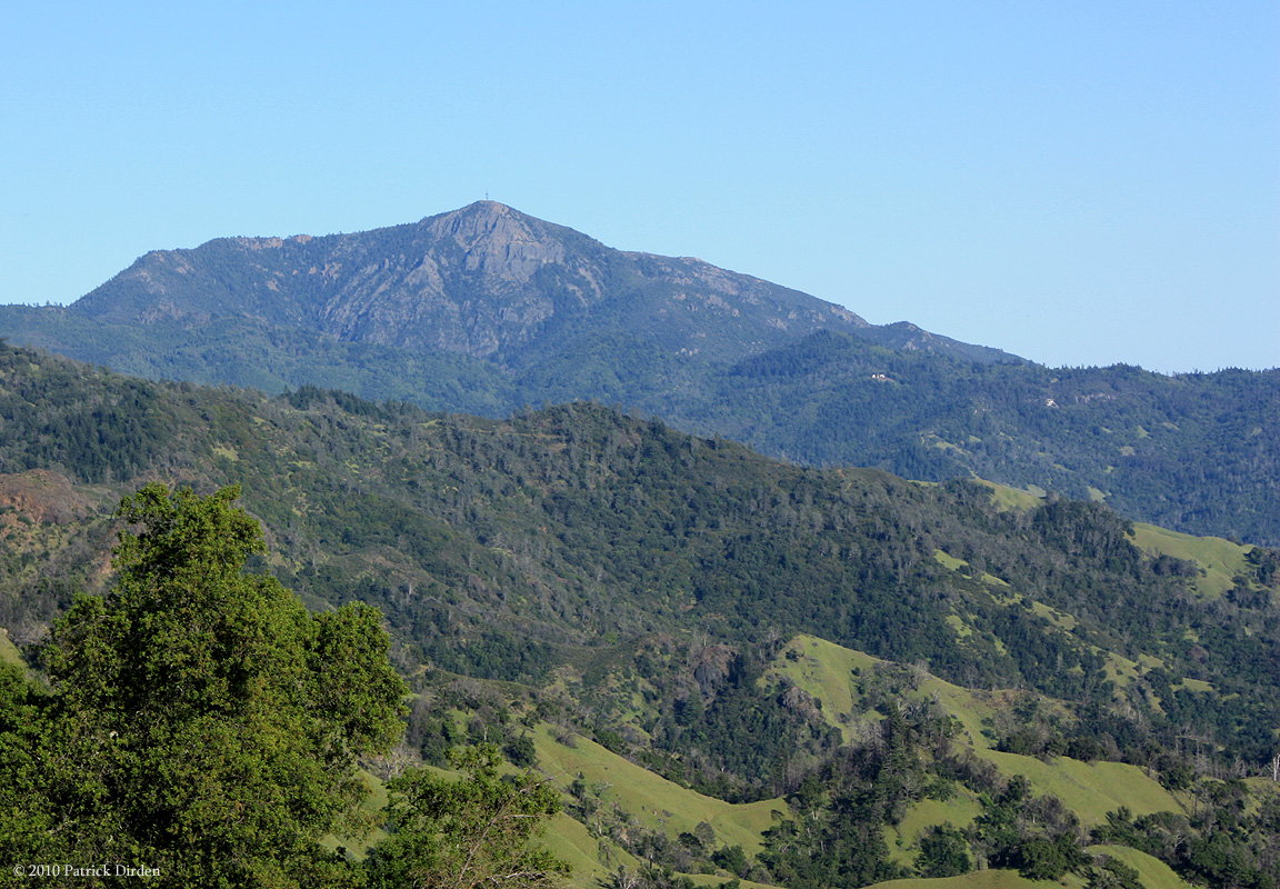
Broad Shoulders of Mt St Helena
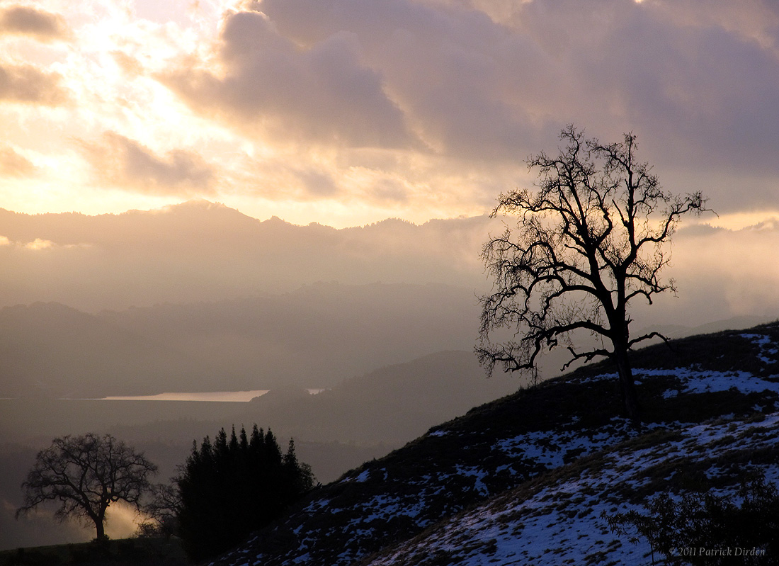
Snowy Sunset
Cobb Mountain Sunset
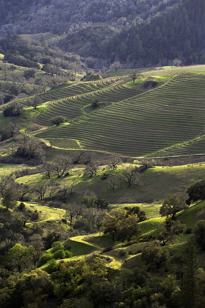
Terraced Vines
Hidden Valley

Buckeye, Pine Flat Road, Sonoma Co, Autumn, 1997
Harbin Hot Springs
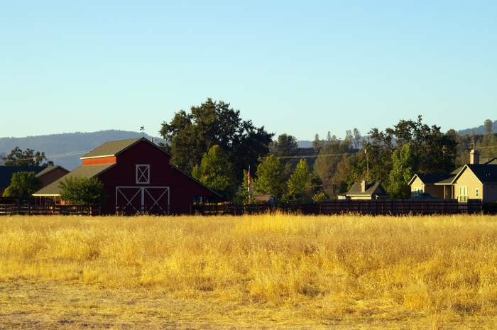
Napa Valley Farm
Topographic Map of Pine View Dr, Middletown, CA, USA
Find elevation by address:

Places near Pine View Dr, Middletown, CA, USA:
Pine View Drive
11091 Oak St
Schwartz Rd, Cobb, CA, USA
9685 Meadow Dr
Cobb
Cobb Mountain
11385 Alder Ln
Castle Rock Springs
CA-, Middletown, CA, USA
Grouse Road
Socrates Mine Rd, Middletown, CA, USA
The Geysers
14847 Bottle Rock Rd
High Valley Rd, Cobb, CA, USA
Geysers Rd, Geyserville, CA, USA
Mercuryville
Aidlin Geothermal Power Plant
Geyserville Ave, Geyserville, CA, USA
Geyserville
27485 River Rd
Recent Searches:
- Elevation of Corso Fratelli Cairoli, 35, Macerata MC, Italy
- Elevation of Tallevast Rd, Sarasota, FL, USA
- Elevation of 4th St E, Sonoma, CA, USA
- Elevation of Black Hollow Rd, Pennsdale, PA, USA
- Elevation of Oakland Ave, Williamsport, PA, USA
- Elevation of Pedrógão Grande, Portugal
- Elevation of Klee Dr, Martinsburg, WV, USA
- Elevation of Via Roma, Pieranica CR, Italy
- Elevation of Tavkvetili Mountain, Georgia
- Elevation of Hartfords Bluff Cir, Mt Pleasant, SC, USA