Elevation of Pine St, Crisfield, MD, USA
Location: United States > Maryland > Somerset County > 7, Crisfield > Crisfield >
Longitude: -75.853461
Latitude: 37.9824353
Elevation: -10000m / -32808feet
Barometric Pressure: 295KPa
Elevation Map:
Satellite Map:
Related Photos:

The Changing Face of Crisfield

Gull's eye view of Crisfield

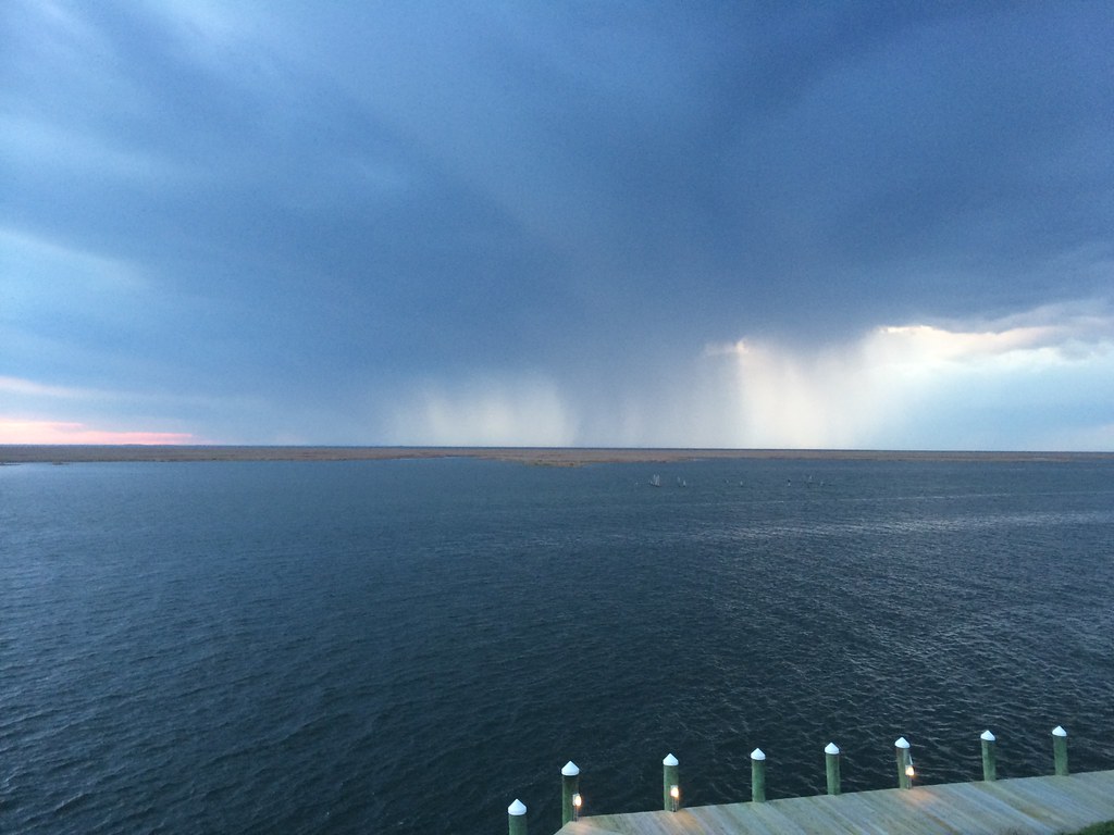
View across Somers Cove

Main Street, Crisfield, MD

12th Street, Crisfield, MD

Upper Main Street, Crisfield, MD

12th Street, Crisfield, Md.

Residence on Upper Main Street, Crisfield, MD

Upper Main Street, Crisfield, MD

Upper Main Street, Crisfield, MD

Chesapeake Avenue, Crisfield, MD

Corner of Somerset Avenue and Asbury Avenue, Crisfield, MD

Asbury Avenue, Crisfield, MD
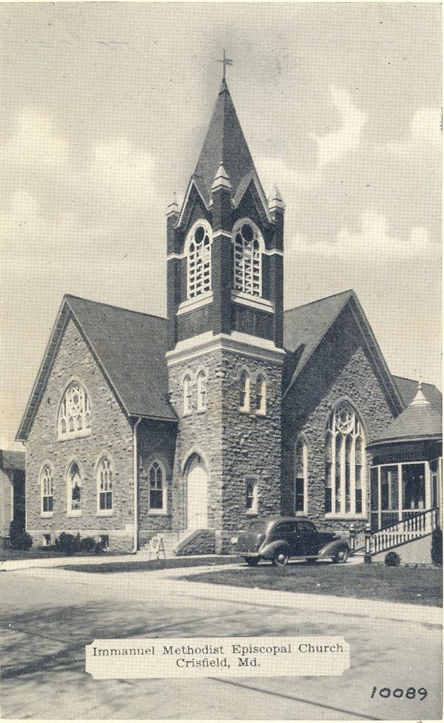
Immanuel Methodist Episcopal Church, Crisfield, MD

Immanuel Methodist Episcopal Church, Crisfield, Md.
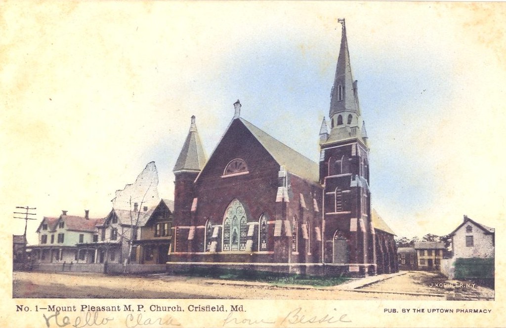
Mount Pleasant M.P. Church, Crisfield, MD

Methodist Protestant Church, Crisfield, MD

Methodist Protestant Church, Crisfield, MD

Mount Pleasant Church, Crisfield, MD

Lilyan Stratton Corbin Memorial Library, Crisfield, MD
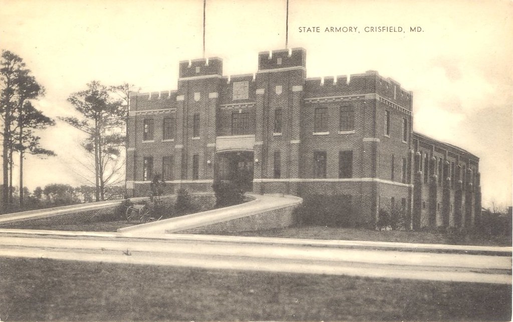
State Armory, Crisfield, MD

Martin National Wildlife Refuge

20170320-IMG_6300

Smith Island, Md.
2014-04-26 19.39.38
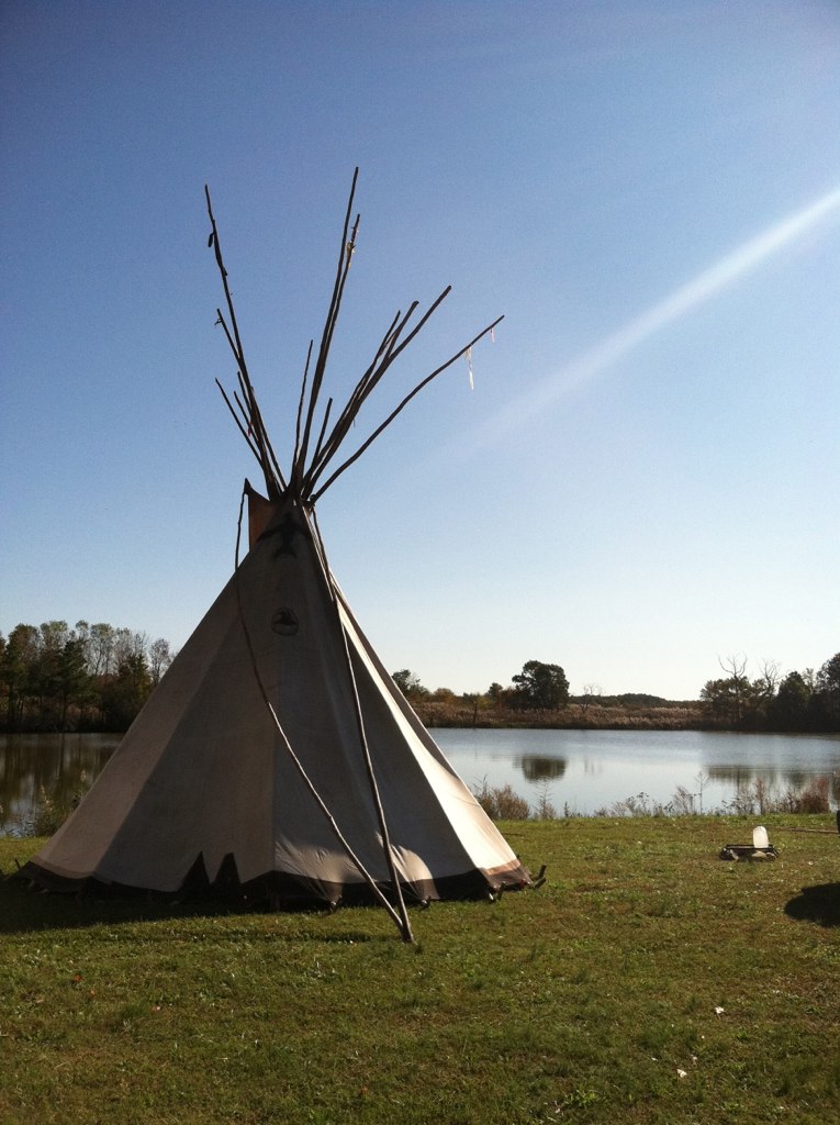
Accohannock Pow Wow 2011 - Marion Station, MD

Smith Island MD

Grass 2

Long Point Shadows

2014-04-26 19.23.13

Saxis Virginia

Crisfeild Sun Salutation
2014-04-26 19.25.26

Martin National Wildlife Refuge

Crisfeild Sun Salutation

Somers Cove Swim Lessons

Crisfield City dock-2

Crisfield City dock-1

Martin National Wildlife Refuge

2014-04-26 10.59.19

Accohannock Pow Wow 2011 - Marion Station, MD
Topographic Map of Pine St, Crisfield, MD, USA
Find elevation by address:

Places near Pine St, Crisfield, MD, USA:
N 4th St, Crisfield, MD, USA
Crisfield
26230 Stouty Sterling Rd
7, Crisfield
2630 Hinman Ln
26447 Main St Ext
26468 Asbury Ave
Sackertown Rd, Crisfield, MD, USA
Mariners Rd, Crisfield, MD, USA
26067 Lawson Barnes Rd
26067 Lawson Barnes Rd
8, Lawsons
5019 Annemessex Rd
27729 Holland Crossing Rd
Evans Drive
28176 Holland Crossing Rd
5631 Cedar Landing Dr
28177 Crisfield Marion Rd
28551 L Q Powell Rd
Frenchtown-rumbly
Recent Searches:
- Elevation of Corso Fratelli Cairoli, 35, Macerata MC, Italy
- Elevation of Tallevast Rd, Sarasota, FL, USA
- Elevation of 4th St E, Sonoma, CA, USA
- Elevation of Black Hollow Rd, Pennsdale, PA, USA
- Elevation of Oakland Ave, Williamsport, PA, USA
- Elevation of Pedrógão Grande, Portugal
- Elevation of Klee Dr, Martinsburg, WV, USA
- Elevation of Via Roma, Pieranica CR, Italy
- Elevation of Tavkvetili Mountain, Georgia
- Elevation of Hartfords Bluff Cir, Mt Pleasant, SC, USA