Elevation of Pine Dr, Coulterville, CA, USA
Location: United States > California > Mariposa County > Coulterville >

Longitude: -120.18047

Latitude: 37.7756301

Elevation: 1029m / 3376feet

Barometric Pressure: 90KPa

Elevation Map:

elevation map of Pine Dr, Coulterville, CA, USA

Satellite Map:

Satellite map of Pine Dr, Coulterville, CA, USA

Related Photos:

fern macro duotone top20macro claremont groveland fleurnoir creamme giantchainfern tuolumnecounty curatek utatapayshomage lawfav utatamasterblossfeldt cal07 bbshow
giant chain fern
california nightphotography northerncalifornia stars landscape space sagittarius astrophotography astronomy nightsky universe vega scorpius scutum nebulae sierranevadafoothills landscapephotography summertriangle adobecreativesuite astrometrydotnet:status=failed adobelightroom3 nightskyimages astrometrydotnet:id=nova261059
down the milky rift
coulterville goinghome boeing777 avión aereo vliegtuig avion flugzeug awyren aircraft airliner airplane plane jet altitude flight fly aerial aério aéreo windowview windowseat 777 b777 boeing airplanewing jetwing wing λεπίδοσ πτερόν adain aile vleugel ala flügel kalifornien norcal cali californië kalifornia καλιφόρνια カリフォルニア州 캘리포니아 주 californie california northerncalifornia カリフォルニア 加州 калифорния แคลิฟอร์เนีย كاليفورنيا
#GoingHome #Boeing777
fire groveland rimfire pml
Marina View
house fire
First view of our house. Still there. What a relief!
pinemountainlake vandenheuvel griffincabin
View from the backyard
the morning view from mom’s place: smmmmmmoky
christmas morning view from mom’s house
california sunset sky color tree view yosemite karith
Lillaskog Sunset 2
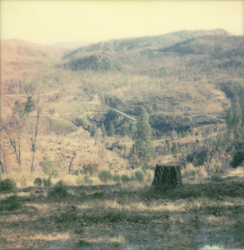
stump groveland view forest burned momshouse film polaroid 600 slr680
view from mom's
instagramapp square squareformat iphoneography uploaded:by=instagram
another view from mom's place
california sunset sky color landscape view yosemite karith lillaskoglodge
Lillaskog Sunset 3
view from Mom’s house, this morning — clearing after yesterday’s huge storm!
instagramapp square squareformat iphoneography uploaded:by=instagram
sunrise at mom's house this morning
california panorama forest stanislaus nationalpark nikon nationalforest national yosemite yosemitenationalpark nationalparkservice stitched 28300mm highway120 johnk rimoftheworld rimfire stanislausnationalforest d610 johnkrzesinski randomok nikond610
Rim of the World Panorama, 8 months after the fire...
usa california highway 120 big oak flat road yosemite mountains view landscape forest rainbow pool river tuolumne falls
Rainbow Pool
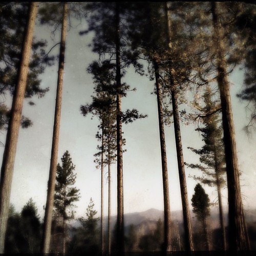
tree film pine forest polaroid view sierras groveland 669 packfilm tuolumnecounty automatic250
view from mom's place
fire vegetation
View from Rim of the World
fire vegetation
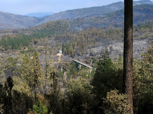
View towards route 120
fire vegetation
View from our house towards route 120
fire vegetation
View from our house towards Cherry Lake Road and the PG&E lines.
sierranevada alpine wilderness canyon trout
Canyon of the Tuolumne
yosemite california nationalpark park
Yosemite 129
pinemountainlake pinemountainlakelodge groveland california tree forest water landscape shore shoreline lake marina day cloud outdoor reflection waterreflection lensflair flair symmetry sony a7 a7ii a7mii alpha7mii ilce7m2 fullframe vintagelens dreamlens canon50mmf095 canon 3xp raw photomatix hdr qualityhdr qualityhdrphotography fav100 sky pier
I remember how to daydream
back home at Mom’s house, and the light is still gorgeous!!
nature photography reflection color balance dance perfect water lake artistic blue orange sticks plants impressionist art eye beauty canon silhouette flckr moonjazz ballet reeds pink shapes lines abstract still zen
Water Reflection Photography
america beautifulnature camera california clouds d600 fx fullframe landscape mountains nature nikon northamerica parcnationaldeyosemite parquenacionaldeyosemite roadtrip season sky summer tamannasionalyosemite travel trip usnationalparks usa viagem viaje world wilderness yosemitenationalpark yosemitenemzetiparkezalapegyellenőrzöttváltozatarész アメリカ アメリカ大陸 ニコン ヨセミテ国立公園 優勝美地國家公園 北米 夏 季節 季節感 旅行 요세미티국립공원 groveland unitedstates yosemite park
Stanislaus National Forest Vista: Rim of the World, Near Yosemite National Park
california forest stanislaus waterfall rainbow falls national pools groveland
Rainbow Falls and Pools
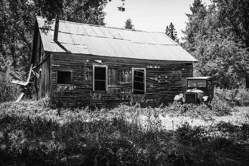
solemn d850 landscape headlights bushes brush blackwhite quiet california abandoned barn monochrome smokestack farm forgotten creepy antique modelt scary serious groveland unitedstates us
Groveland, California
solemn california shack abandoned landscape tree scary forgotten farm creepy quiet antique d850 field groveland unitedstates us
Groveland, California
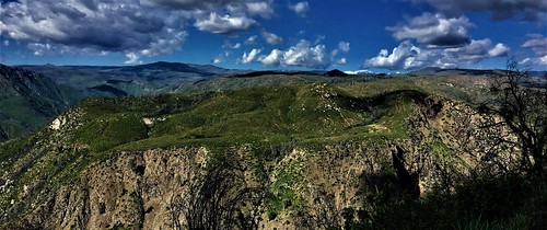
The Tuolumne Drainage
snow antoniaquestphotography white winter weather road rain travel trees utah image ice imagine photography photo picture art digital forest great grand highway landscape zion national park explore color cold clouds vacation valley beauty bright nature mountains mist tree sky
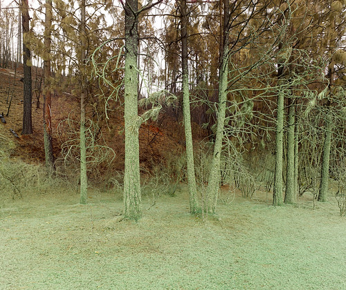
Sadness in the Forest
life sky music sun tree art silhouette clouds sunrise canon landscape photography eos death rainbow day outdoor yes rip arc band shannon after rise dslr canondslr canoneos memoriam lifeafterdeath skyart 50d shannonday canoneos50d circumzenthal eosdslr canoneos50ddslr lifeafterdeathstudios lifeafterdeathphotography shannondayphotography shannondaylifeafterdeath lifeafterdeathstudiosartandphotography shannondayartandphotography
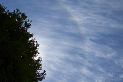
Circumzenithal Arc
life california blue trees sky sunlight tree art silhouette pine forest canon airplane landscape photography eos death stanislaus day contrail cross outdoor shannon pines national rush hour after rushhour chemtrail dslr crisscross contrails chem canondslr canoneos foothill criss stanislausnationalforest lifeafterdeath 50d shannonday canoneos50d eosdslr canoneos50ddslr lifeafterdeathstudios lifeafterdeathphotography shannondayphotography shannondaylifeafterdeath
Rush Hour in the Pines
california unitedstates groveland
0IQ180_8269-72