Elevation of Pincher Creek Airport, Pincher Creek, AB T0K 1W0, Canada
Location: Canada > Alberta > Division No. 3 > Pincher Creek >
Longitude: -113.99722
Latitude: 49.520556
Elevation: 1186m / 3891feet
Barometric Pressure: 88KPa
Elevation Map:
Satellite Map:
Related Photos:
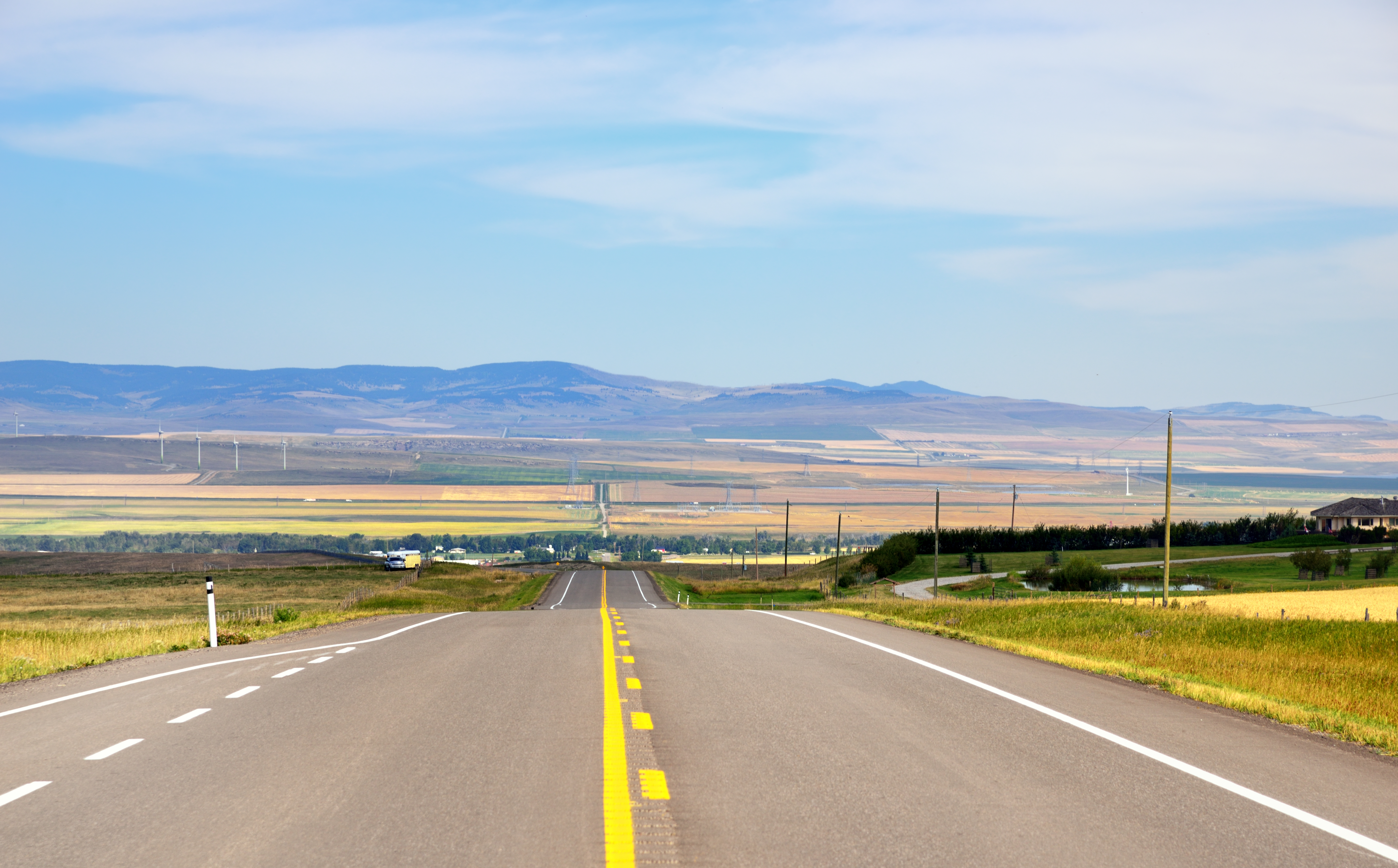
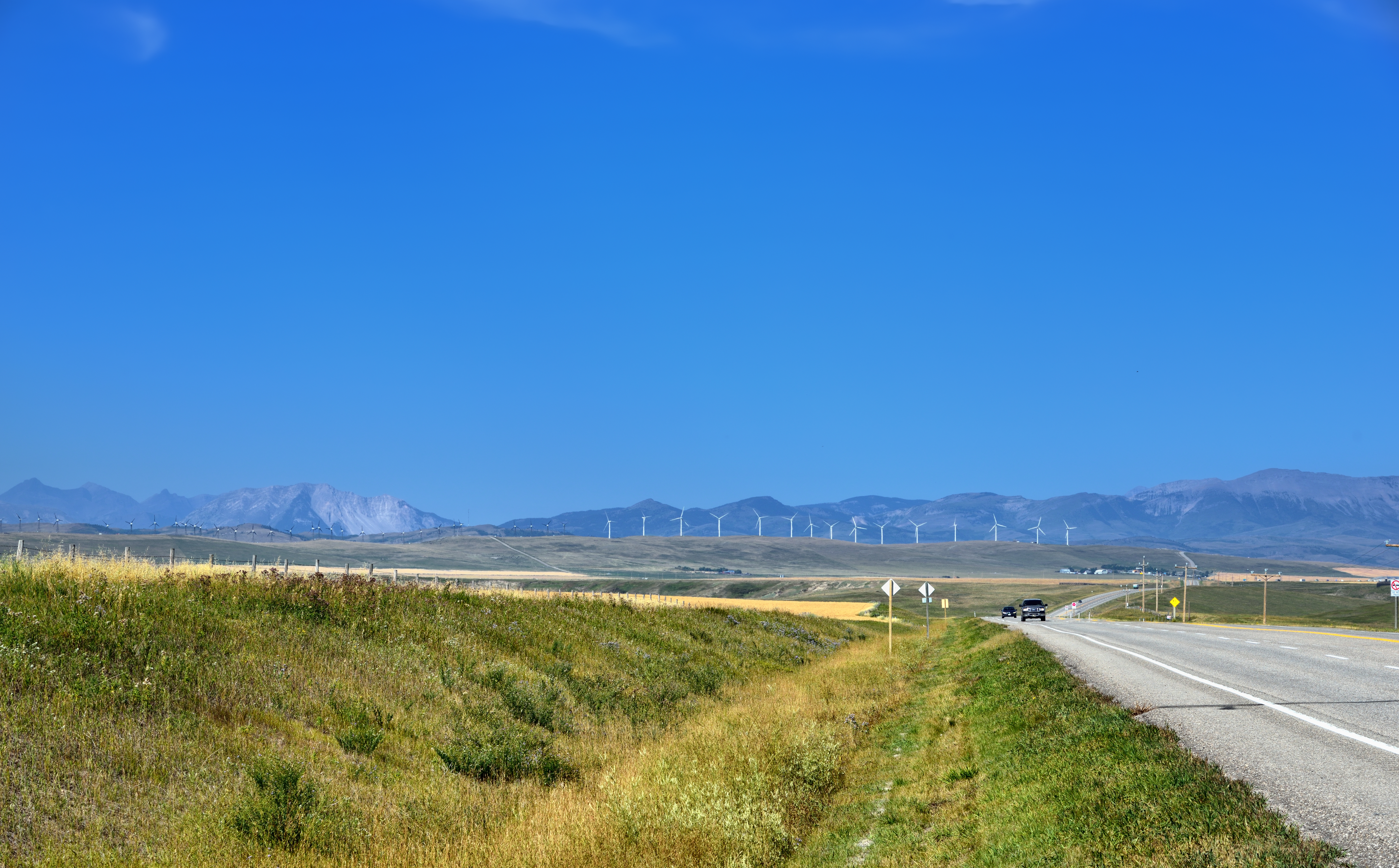
A Long Stretch of Highway
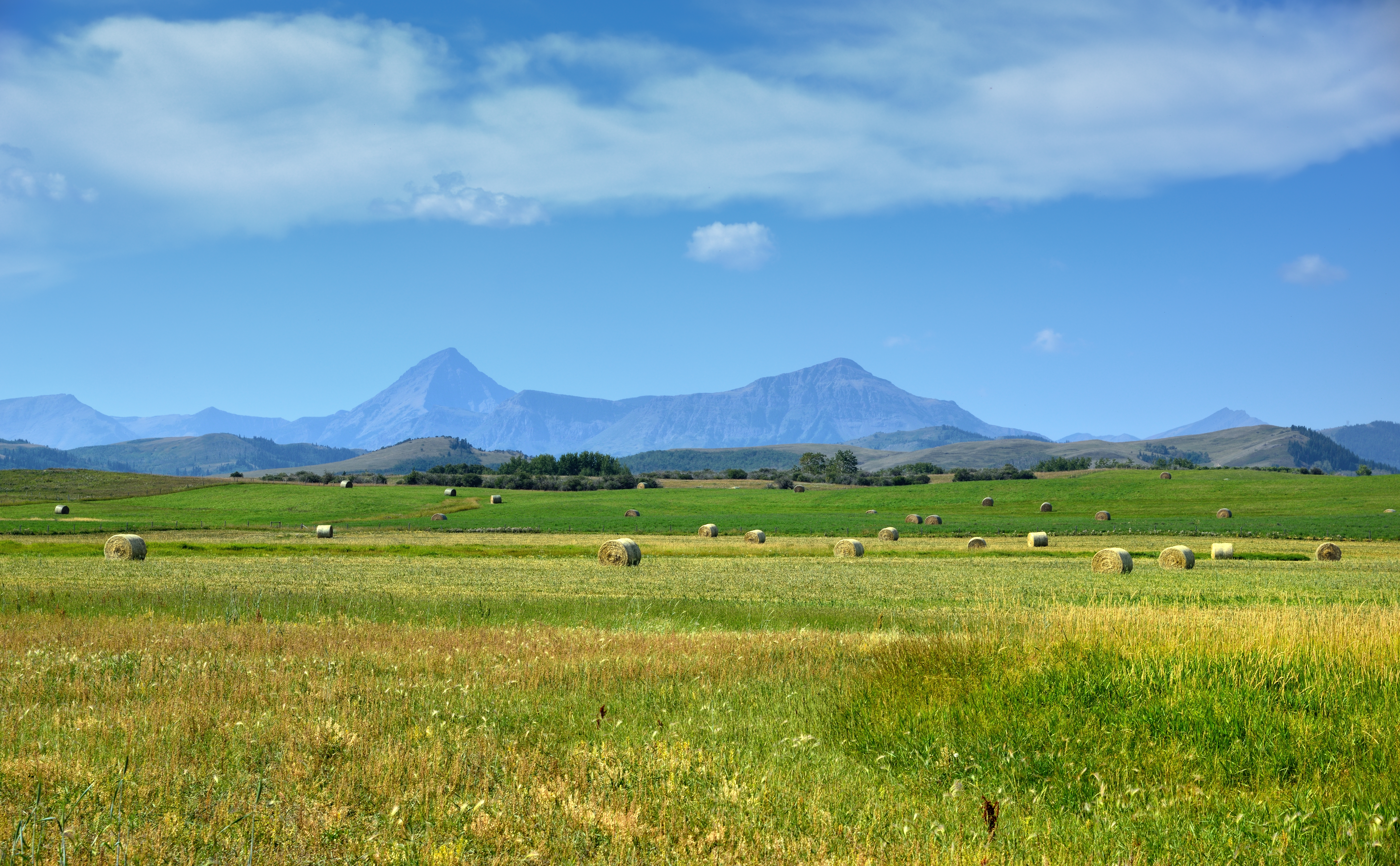
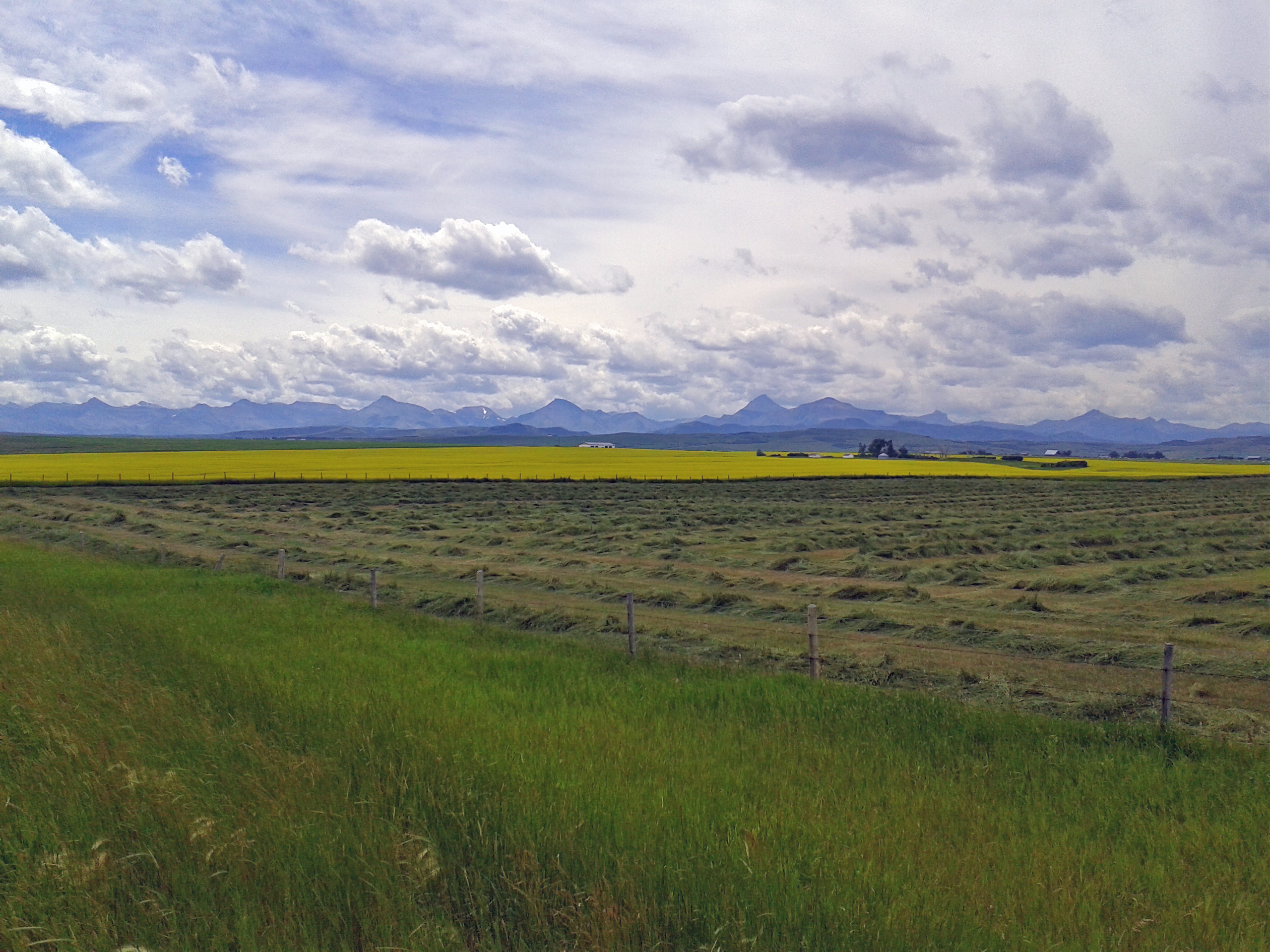
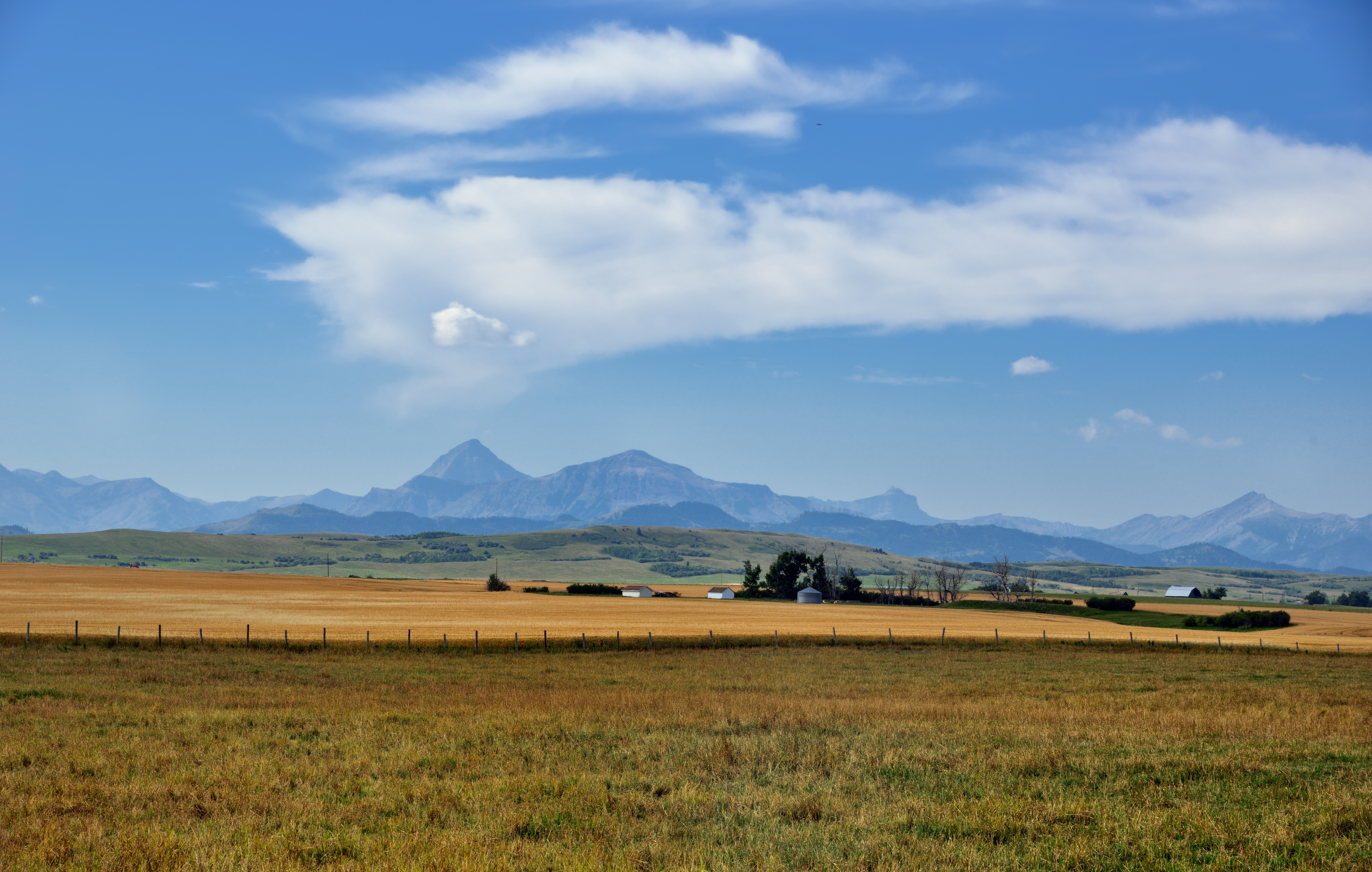
Prairie Meets the Mountains
A Hill
view of the pool from the diving board
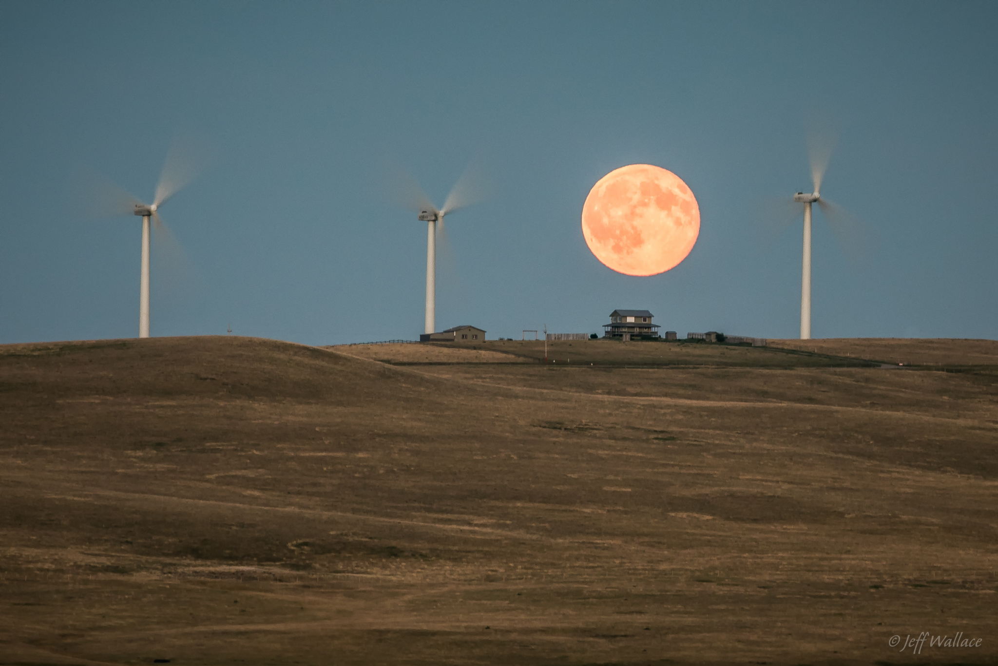
July's "Buck Moon"
A View of Pincher Creek
Oldman Reservoir, Southern Alberta
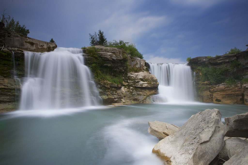
Lundbreck Falls, Alberta
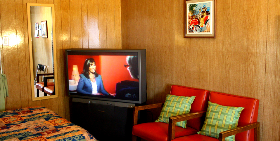
#5 Room View, Blue Mountain Motel - Pincher Creek AB
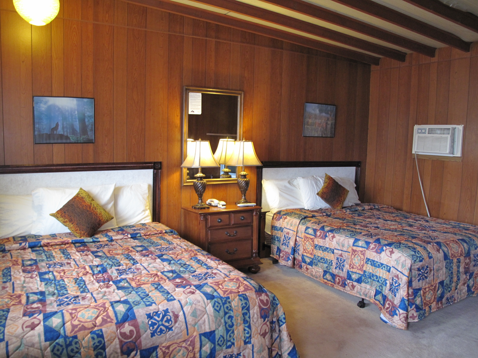
#3 Room View, Blue Mountain Motel - Pincher Creek AB
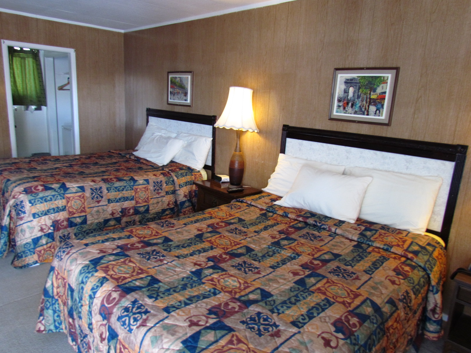
#1 Room View, Blue Mountain Motel - Pincher Creek AB
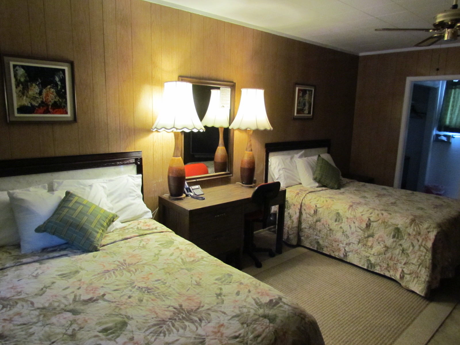
#2 Room View, Blue Mountain Motel - Pincher Creek AB
2014-07-20 13.47.46_edited-1
2014-07-20 13.48.58_edited-1
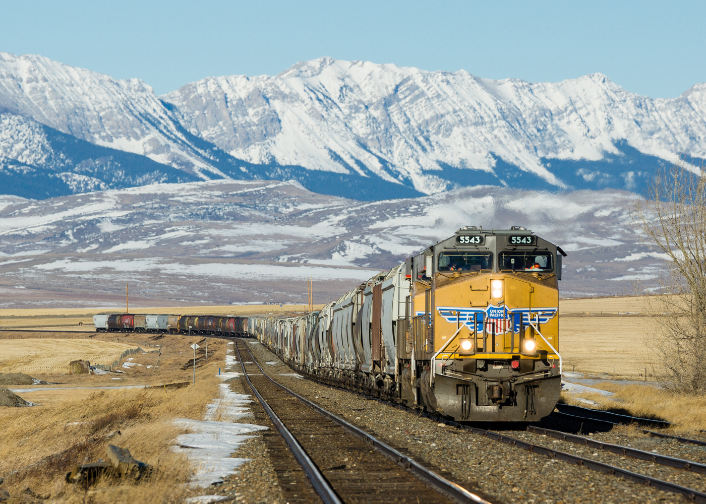
CP 386 @ Cowley, AB
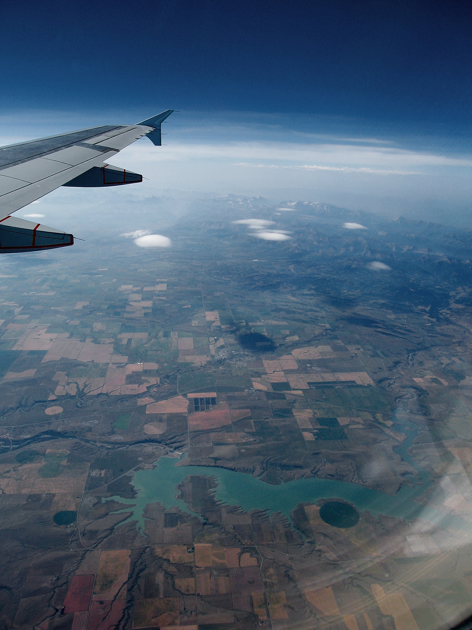
Farmland and Mountains (wide angle)
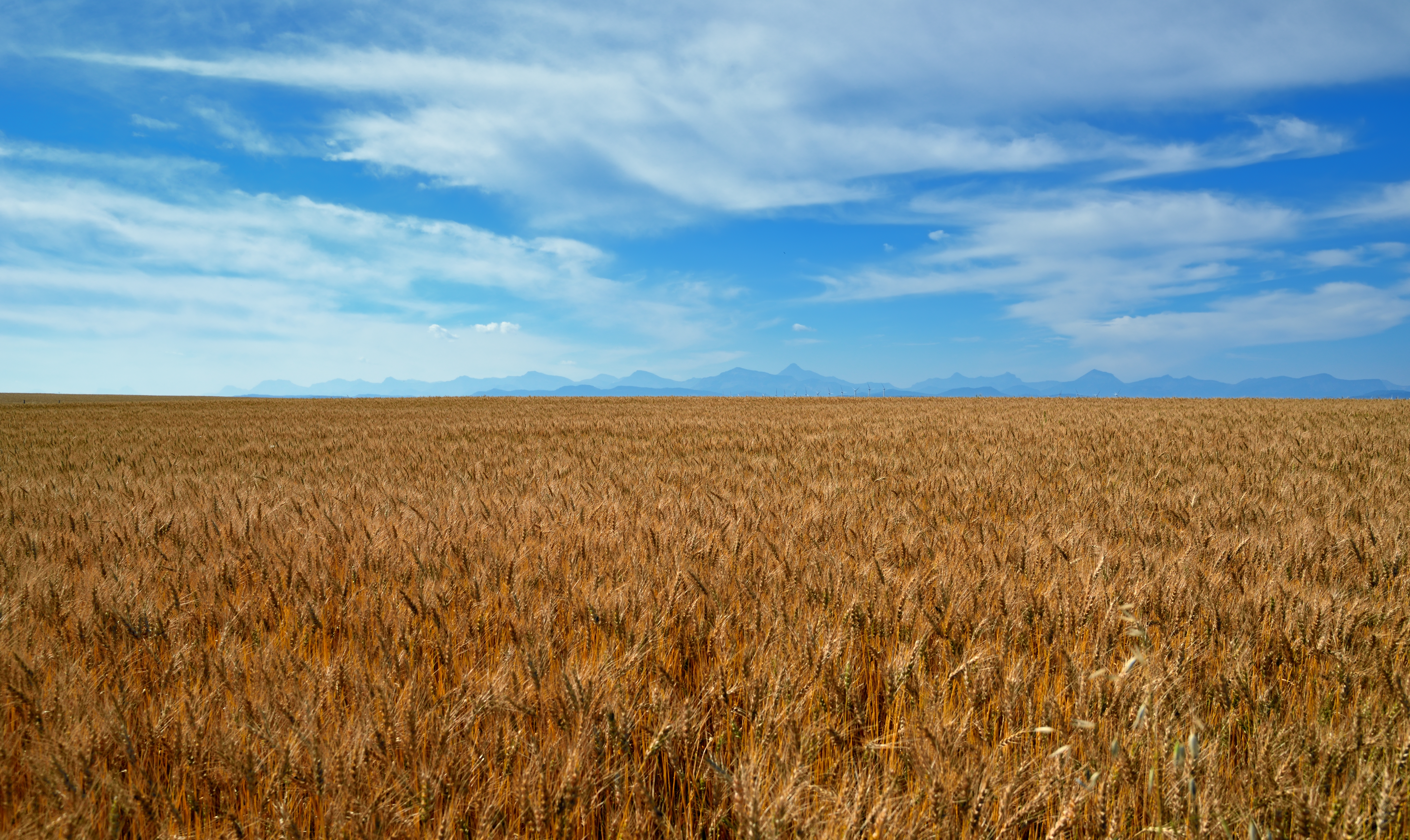
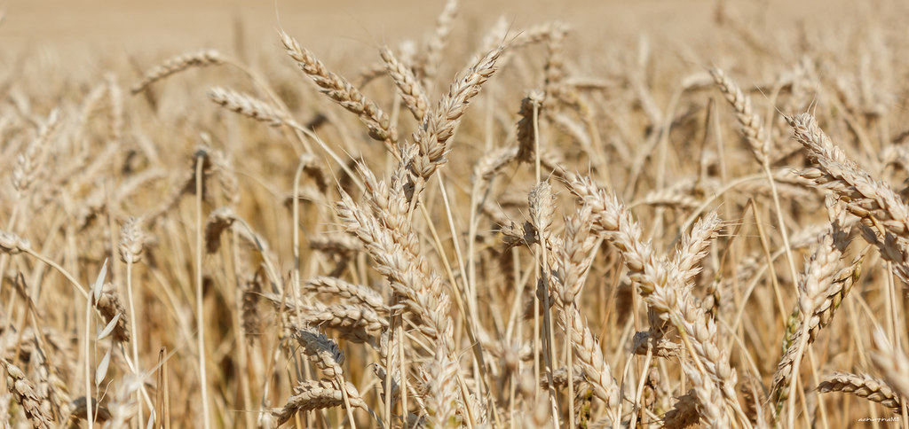
A Field of Wheat Stretching on and on...
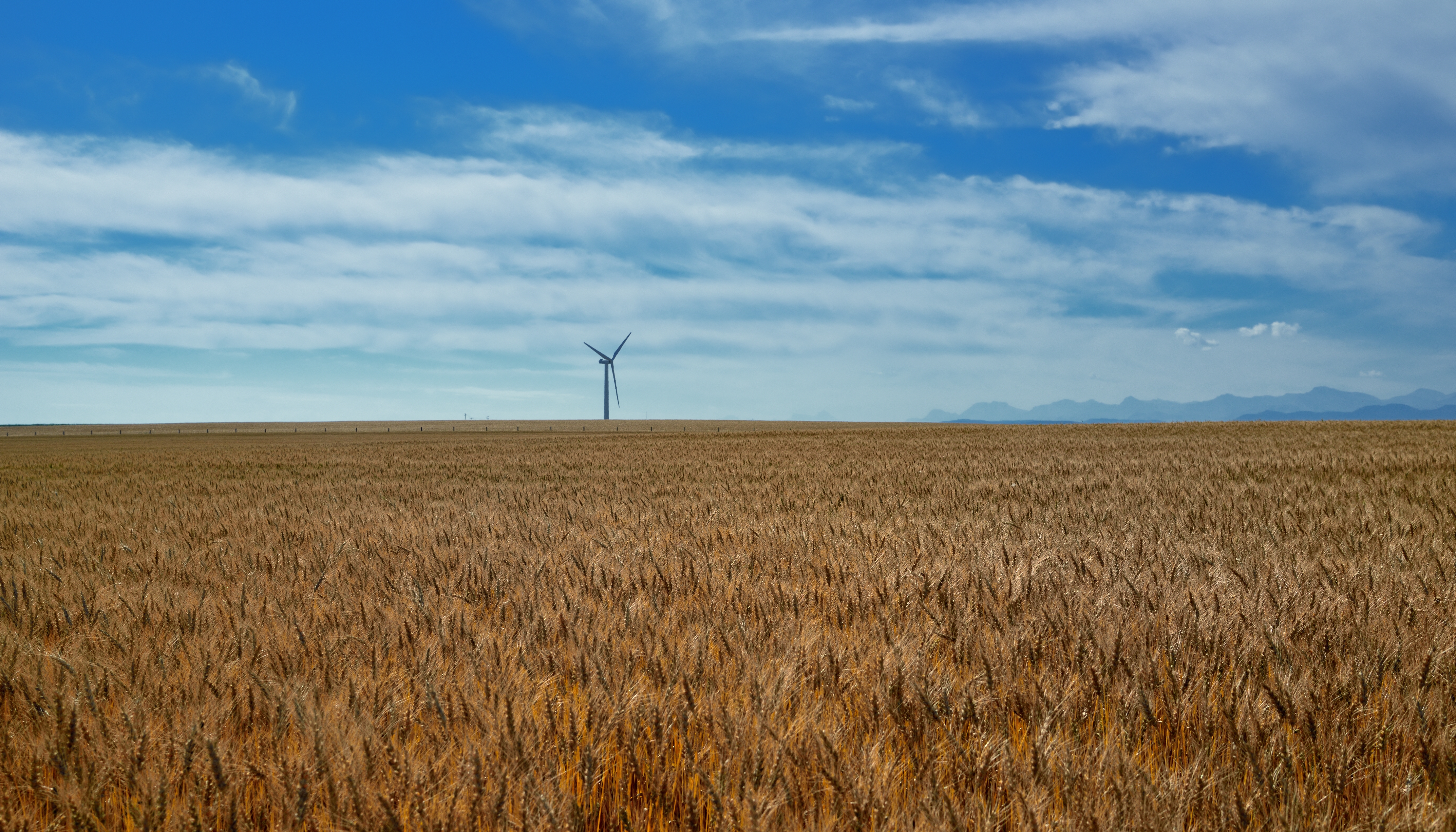
A Lone Wind Turbine
A Wind Farm on the Alberta Plains
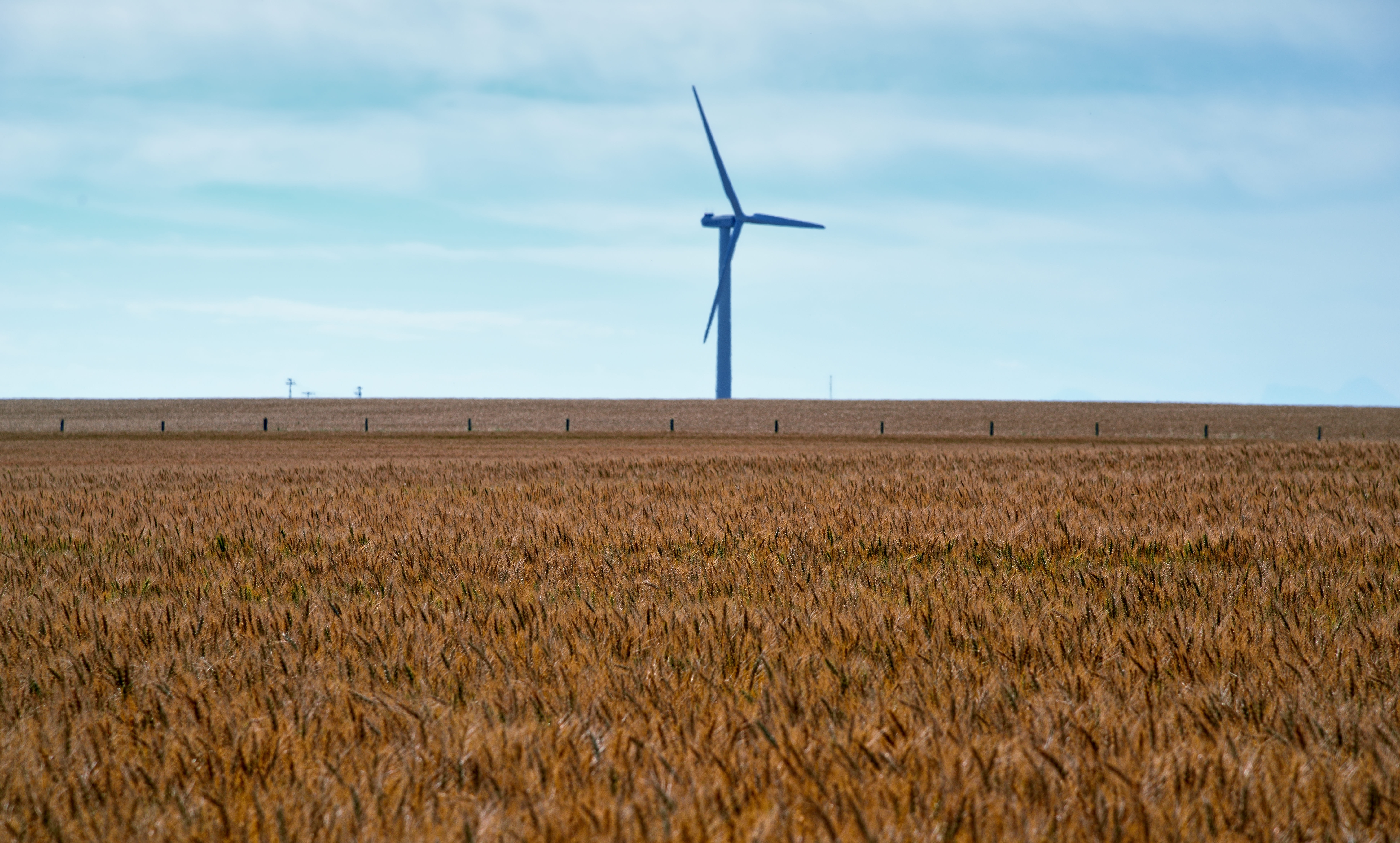
Wind Turbine
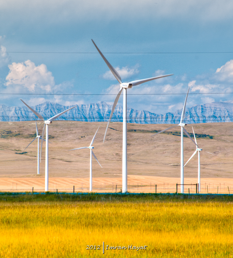
Pincher Creek wind turbines
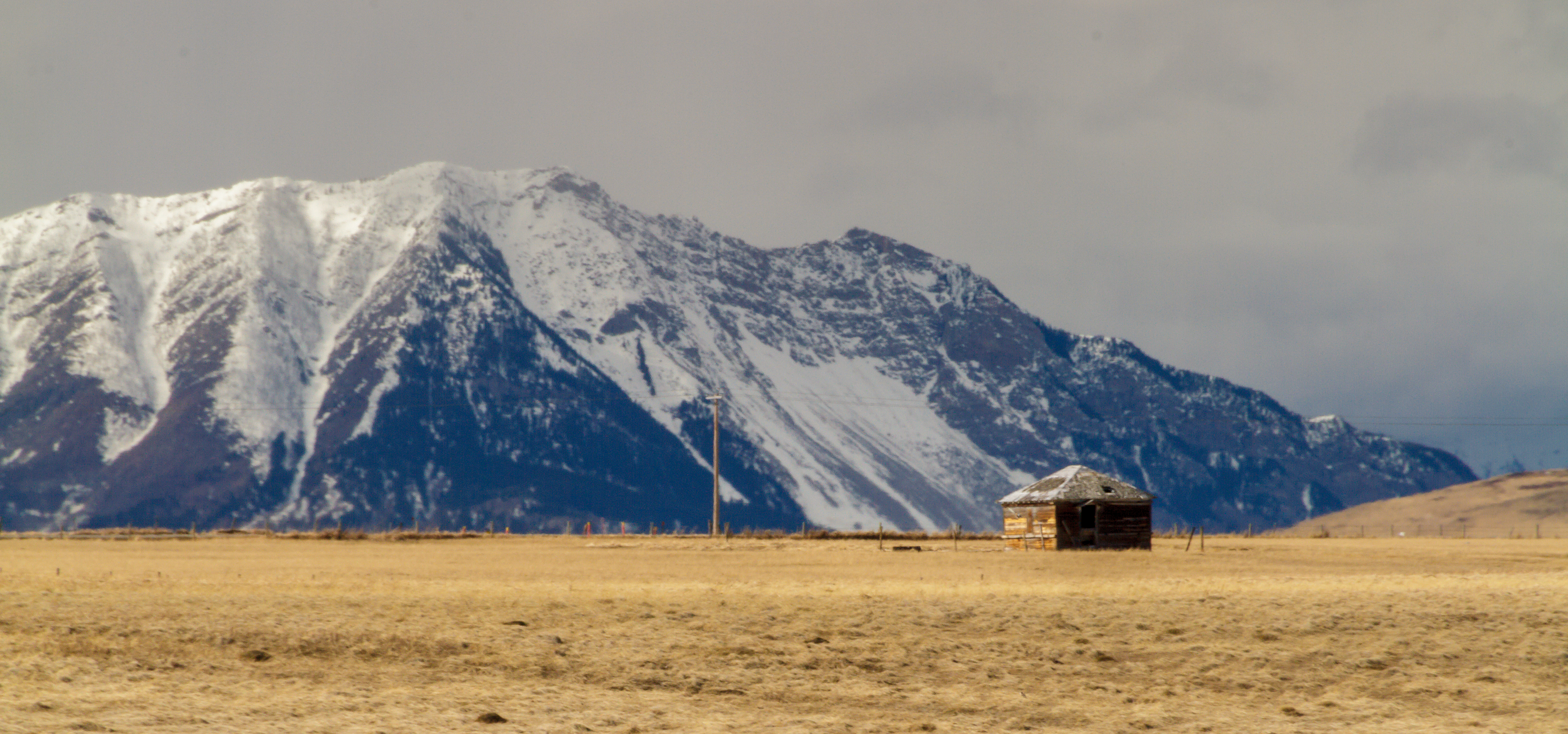
Little House on the Prairie
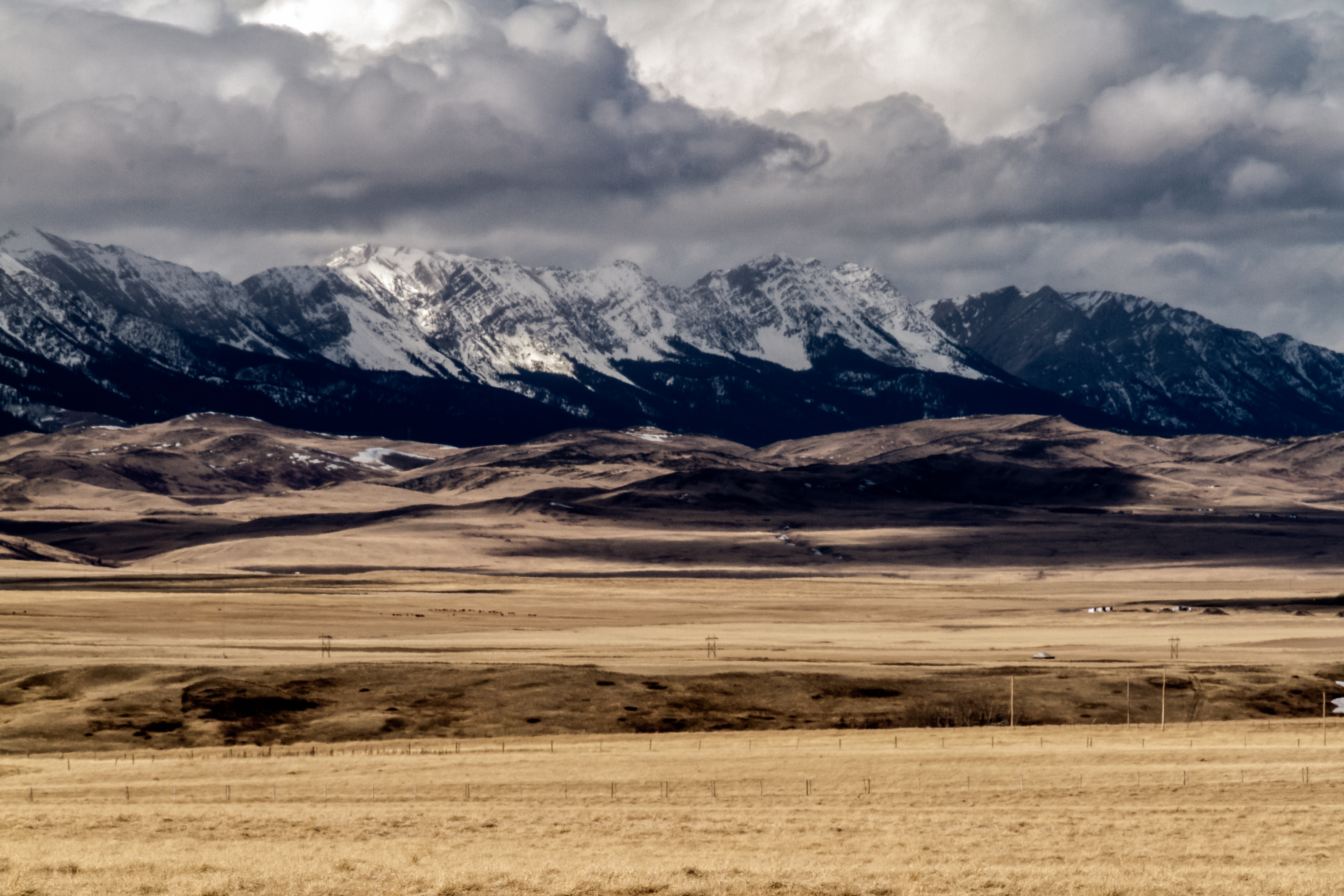
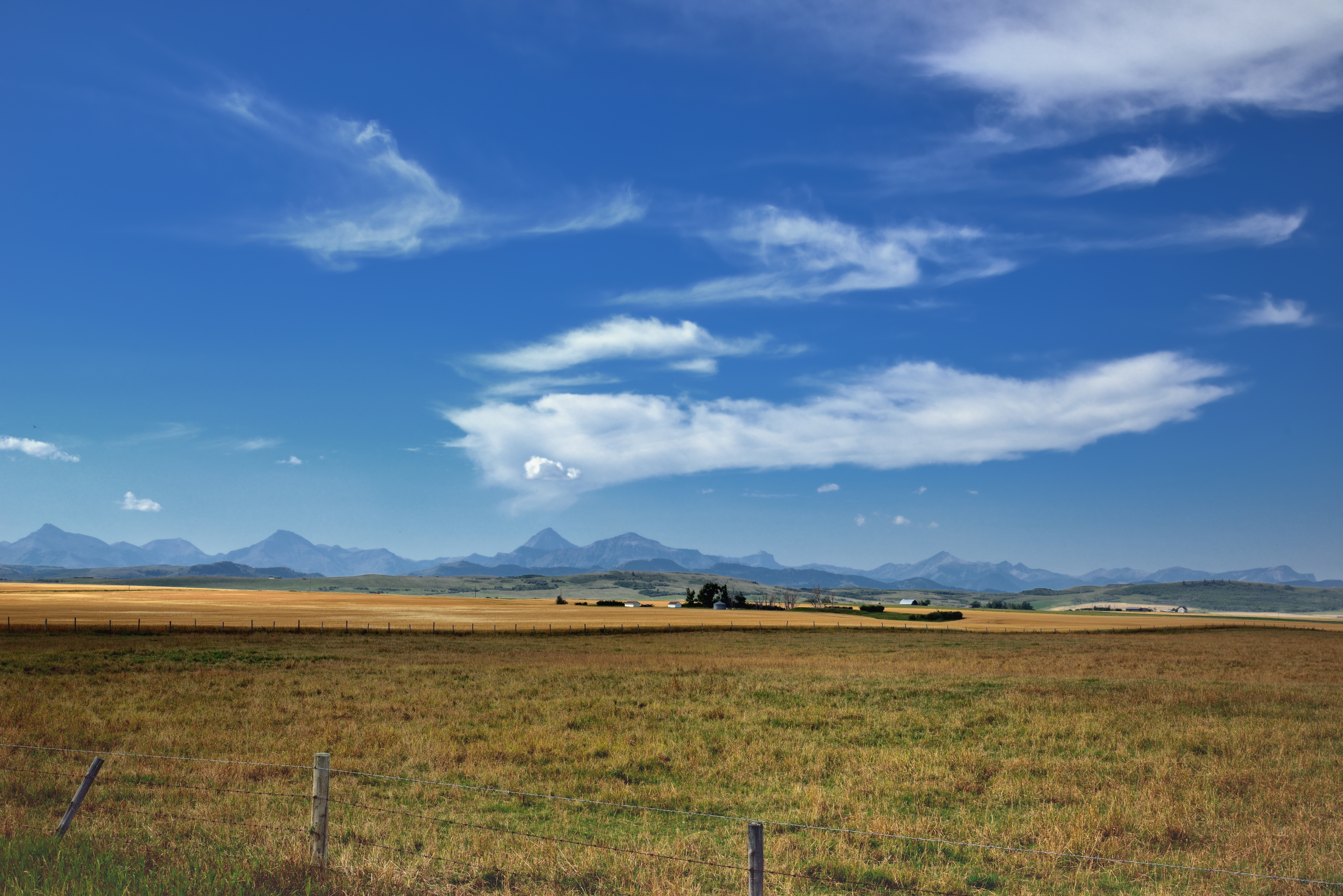
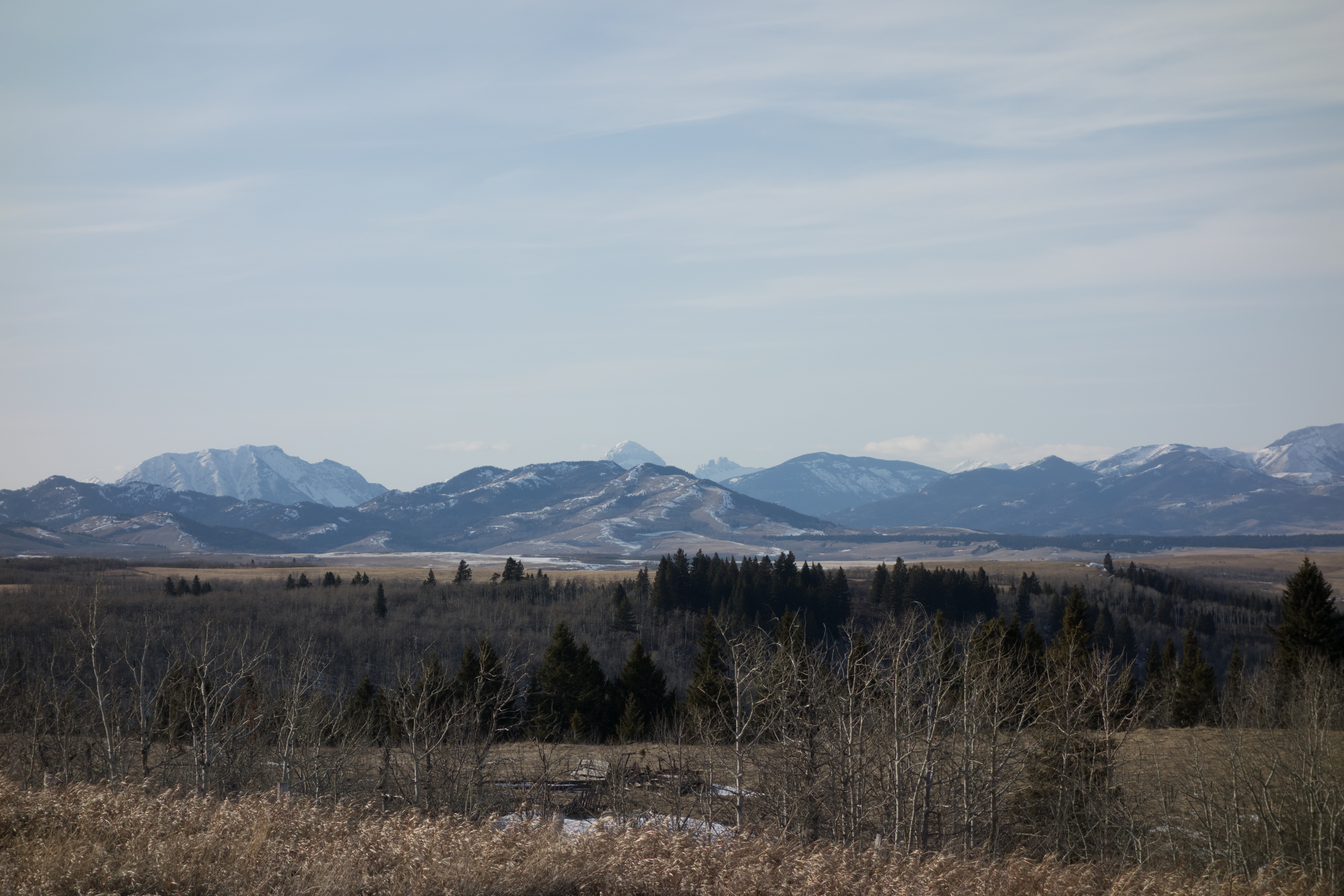
Spring on the Rockies Front [Explored]
Spring on the Rockies Front II

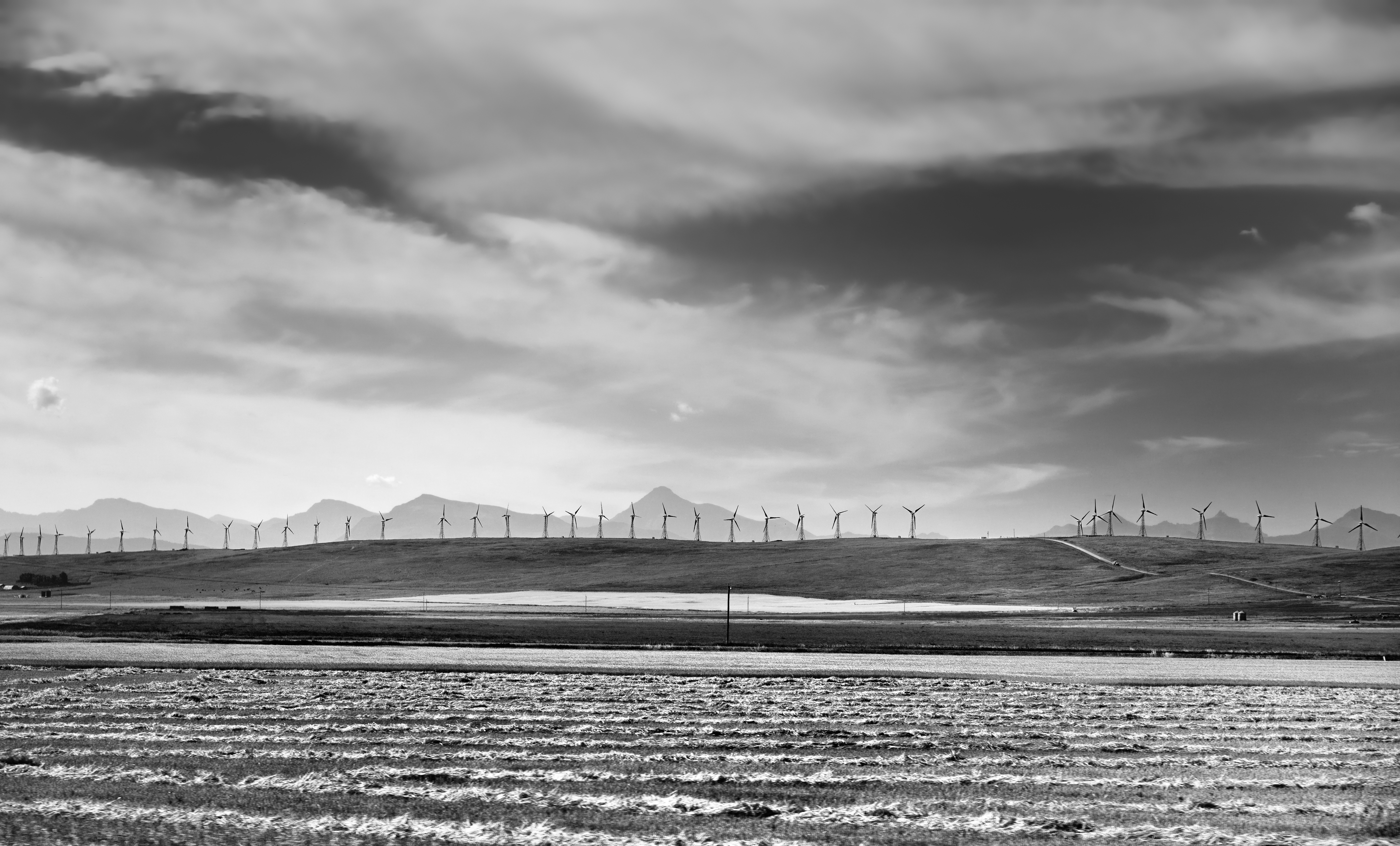
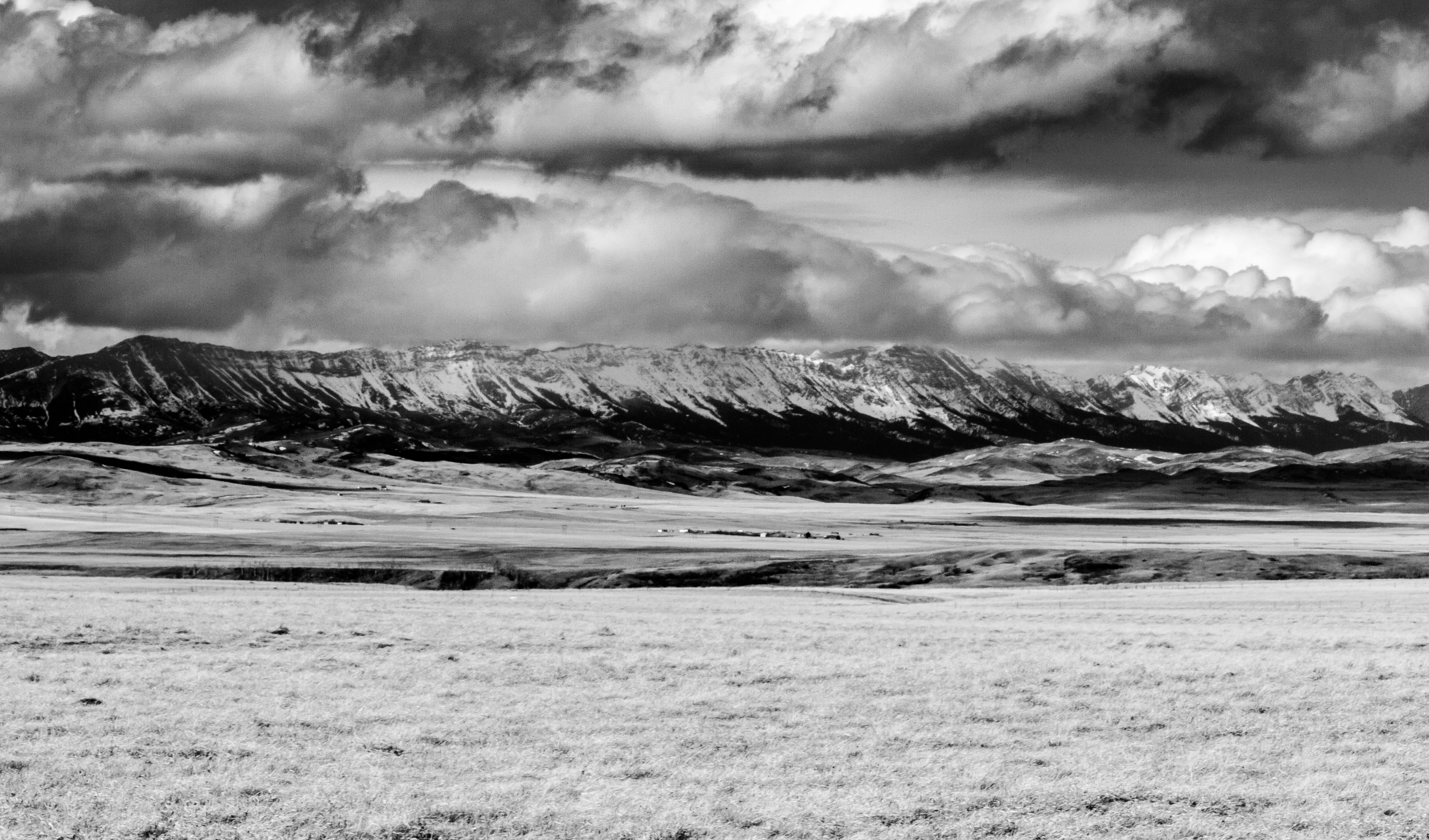
A Field of Wheat Stretching on and on...(Black & White)
Farmland and Mountains
"You reap what you sow"
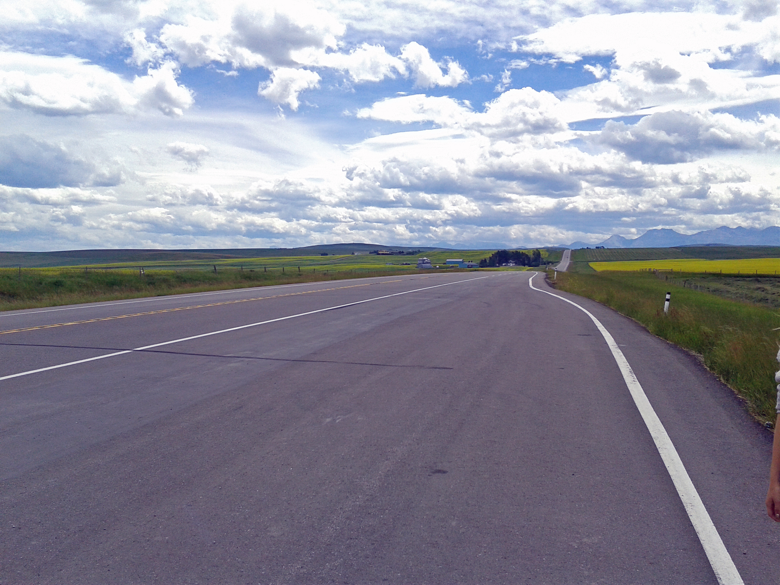
Driving the Highways of Alberta

Loaf Mountain, Alberta
DSC04991 near Beauvais Lake, Alberta
The Field That Dreams Are Made Of...

Chinook arch, Cowley, Ab, Nov. 2009
Canyon "red rock"
Topographic Map of Pincher Creek Airport, Pincher Creek, AB T0K 1W0, Canada
Find elevation by address:

Places near Pincher Creek Airport, Pincher Creek, AB T0K 1W0, Canada:
Pincher Creek
Beauvais Lake Provincial Park
Pincher Creek No. 9
Lundbreck
Beaver Mines
Robertson Peak
Hillcrest Mines
Frank
20 Ave, Blairmore, AB T0K 0E0, Canada
1629 129 St
12202 18 Ave
12202 18 Ave
12202 18 Ave
Pass Powderkeg Ski Area
Blairmore
Rainy Ridge N
Rainy Ridge
Three Lakes Ridge
Syncline Mountain
Gravenstafel Ridge
Recent Searches:
- Elevation of Corso Fratelli Cairoli, 35, Macerata MC, Italy
- Elevation of Tallevast Rd, Sarasota, FL, USA
- Elevation of 4th St E, Sonoma, CA, USA
- Elevation of Black Hollow Rd, Pennsdale, PA, USA
- Elevation of Oakland Ave, Williamsport, PA, USA
- Elevation of Pedrógão Grande, Portugal
- Elevation of Klee Dr, Martinsburg, WV, USA
- Elevation of Via Roma, Pieranica CR, Italy
- Elevation of Tavkvetili Mountain, Georgia
- Elevation of Hartfords Bluff Cir, Mt Pleasant, SC, USA