Elevation of Rainy Ridge, Pincher Creek No. 9, AB T0K, Canada
Location: Canada > Alberta > Division No. 3 > Pincher Creek No. 9 >
Longitude: -114.38055
Latitude: 49.2477777
Elevation: 2432m / 7979feet
Barometric Pressure: 75KPa
Elevation Map:
Satellite Map:
Related Photos:
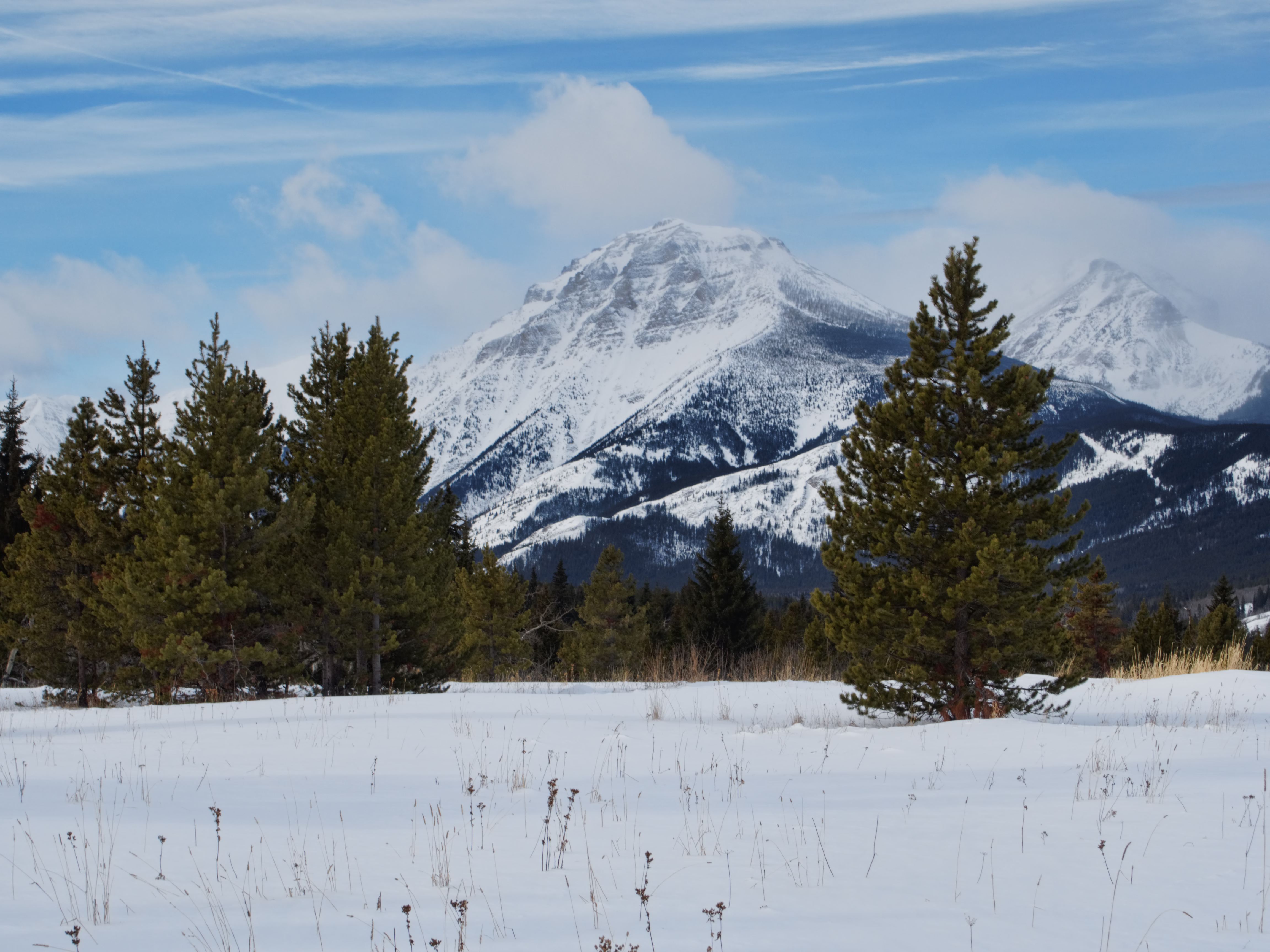
P2240018 Syncline Mtn viewed from near the Castle River, Alberta

Valley View

First View
Topographic Map of Rainy Ridge, Pincher Creek No. 9, AB T0K, Canada
Find elevation by address:

Places near Rainy Ridge, Pincher Creek No. 9, AB T0K, Canada:
Rainy Ridge N
Three Lakes Ridge
Haig S3
Mount Haig
Gravenstafel Ridge
Tombstone Mountain
St. Eloi Mountain
Saint Eloi Sw3
Saint Eloi Sw1
Syncline Mountain
Packhorse Peak
Mount Mccarty
Centre E3
Centre Se1
Darrah Se4
Mount Borsato
Centre Mountain
Beaver Mines
Darrah S2
Mount Darrah
Recent Searches:
- Elevation of Corso Fratelli Cairoli, 35, Macerata MC, Italy
- Elevation of Tallevast Rd, Sarasota, FL, USA
- Elevation of 4th St E, Sonoma, CA, USA
- Elevation of Black Hollow Rd, Pennsdale, PA, USA
- Elevation of Oakland Ave, Williamsport, PA, USA
- Elevation of Pedrógão Grande, Portugal
- Elevation of Klee Dr, Martinsburg, WV, USA
- Elevation of Via Roma, Pieranica CR, Italy
- Elevation of Tavkvetili Mountain, Georgia
- Elevation of Hartfords Bluff Cir, Mt Pleasant, SC, USA