Elevation of Pilot Grove Township, MO, USA
Location: United States > Missouri > Cooper County >
Longitude: -92.917595
Latitude: 38.8887307
Elevation: 213m / 699feet
Barometric Pressure: 99KPa
Elevation Map:
Satellite Map:
Related Photos:

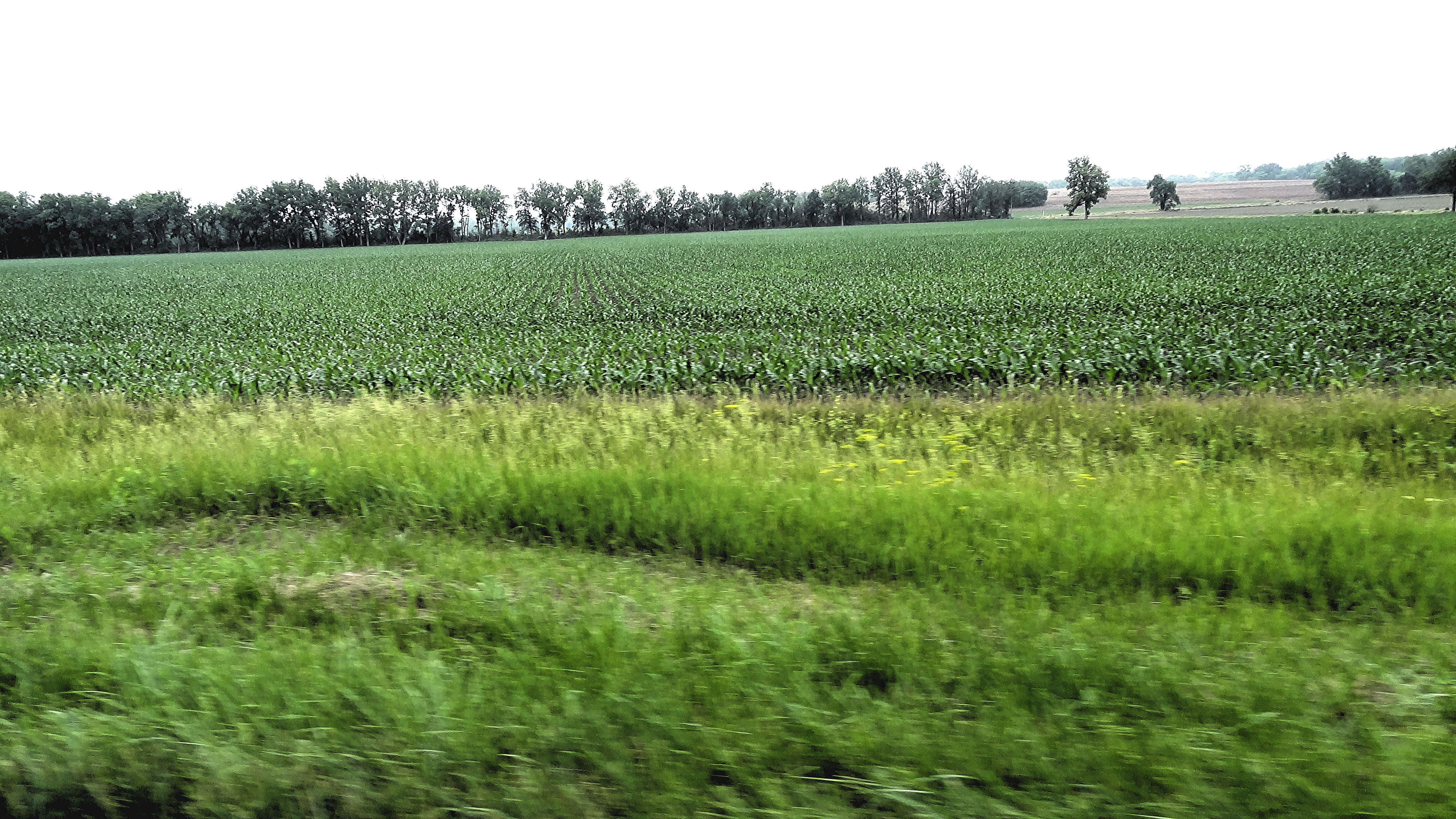
Old barn on the prairie.

Farm near Boonville, MO

The Lamine River

Red Barn

Barn on the road to Arrow Rock

Hannah Cole Roadside Park - Missouri

Missouri Sky
Missouri: Cooper County - DSC02197a

kansas city

missouri countryside_6331
Topographic Map of Pilot Grove Township, MO, USA
Find elevation by address:

Places near Pilot Grove Township, MO, USA:
9708 Prairie Lick Rd
Cooper County
Prairie Lick Road
17800 Clear Springs Dr
17790 Clear Springs Dr
17790 Clear Springs Dr
State Hwy A, Bunceton, MO, USA
Lebanon Township
Arrow Rock Township
Main St, Arrow Rock, MO, USA
Arrow Rock
County Road 314
Syracuse
E Front St, Syracuse, MO, USA
957 S Fork Ln
19074 Hwy O
Mallard Trail, Marshall, MO, USA
18173 Mallard Trail
Bowling Green Township
Mill Creek Township
Recent Searches:
- Elevation of Corso Fratelli Cairoli, 35, Macerata MC, Italy
- Elevation of Tallevast Rd, Sarasota, FL, USA
- Elevation of 4th St E, Sonoma, CA, USA
- Elevation of Black Hollow Rd, Pennsdale, PA, USA
- Elevation of Oakland Ave, Williamsport, PA, USA
- Elevation of Pedrógão Grande, Portugal
- Elevation of Klee Dr, Martinsburg, WV, USA
- Elevation of Via Roma, Pieranica CR, Italy
- Elevation of Tavkvetili Mountain, Georgia
- Elevation of Hartfords Bluff Cir, Mt Pleasant, SC, USA