Elevation of County Road, Co Rd, Boonslick Township, MO, USA
Location: United States > Missouri > Howard County >
Longitude: -92.876138
Latitude: 39.1014416
Elevation: 238m / 781feet
Barometric Pressure: 98KPa
Elevation Map:
Satellite Map:
Related Photos:

Bathtub View
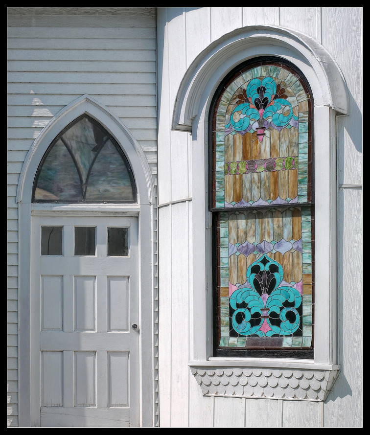
Closed Openings

Red Barn
092718-307F

Rare sight

Missouri River at Arrow Rock
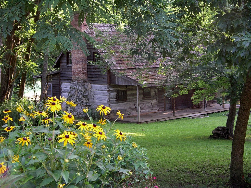
Arrow Rock, MO
Missouri: Cooper County - DSC02197a

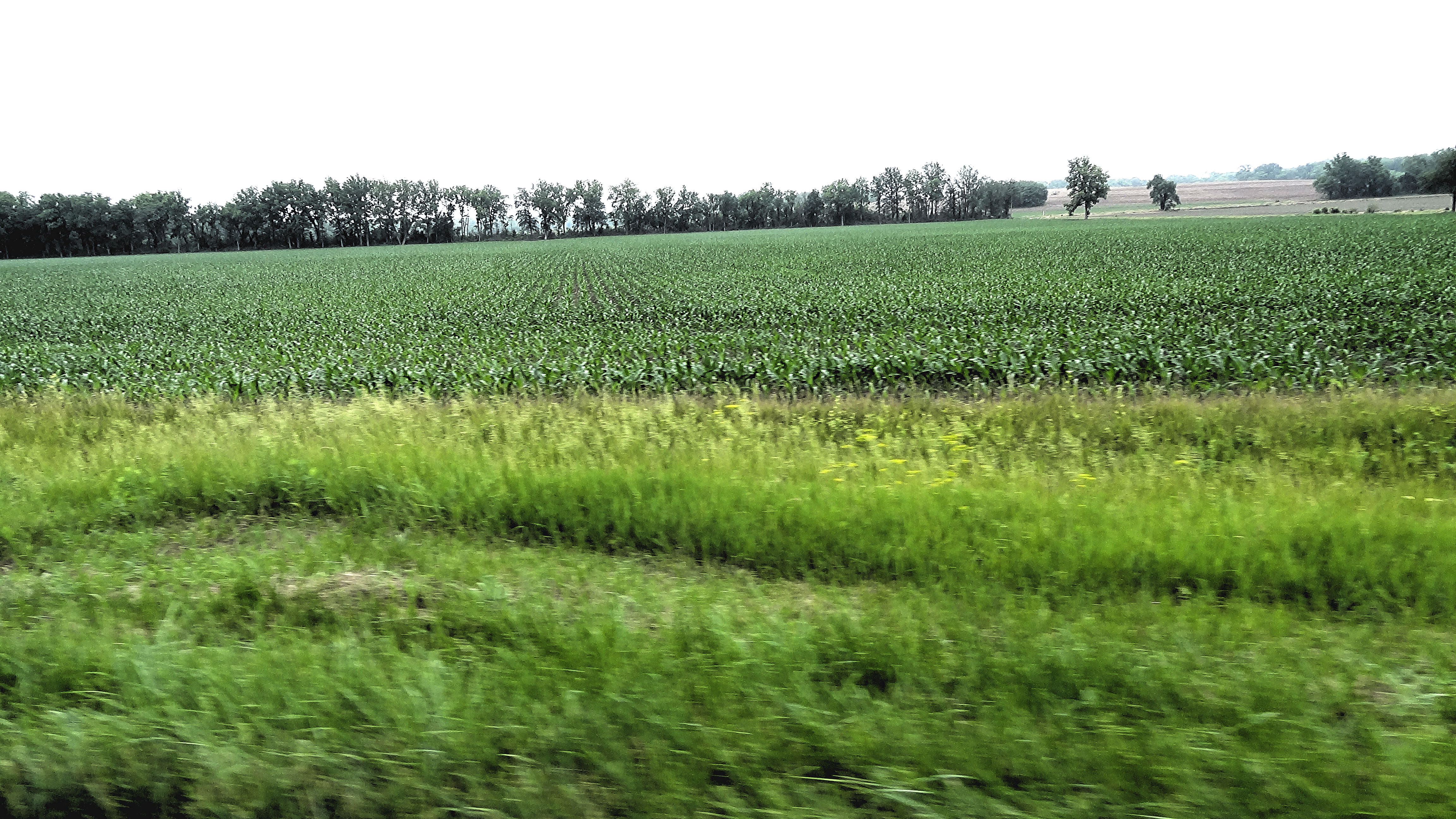
Corn field in Missouri
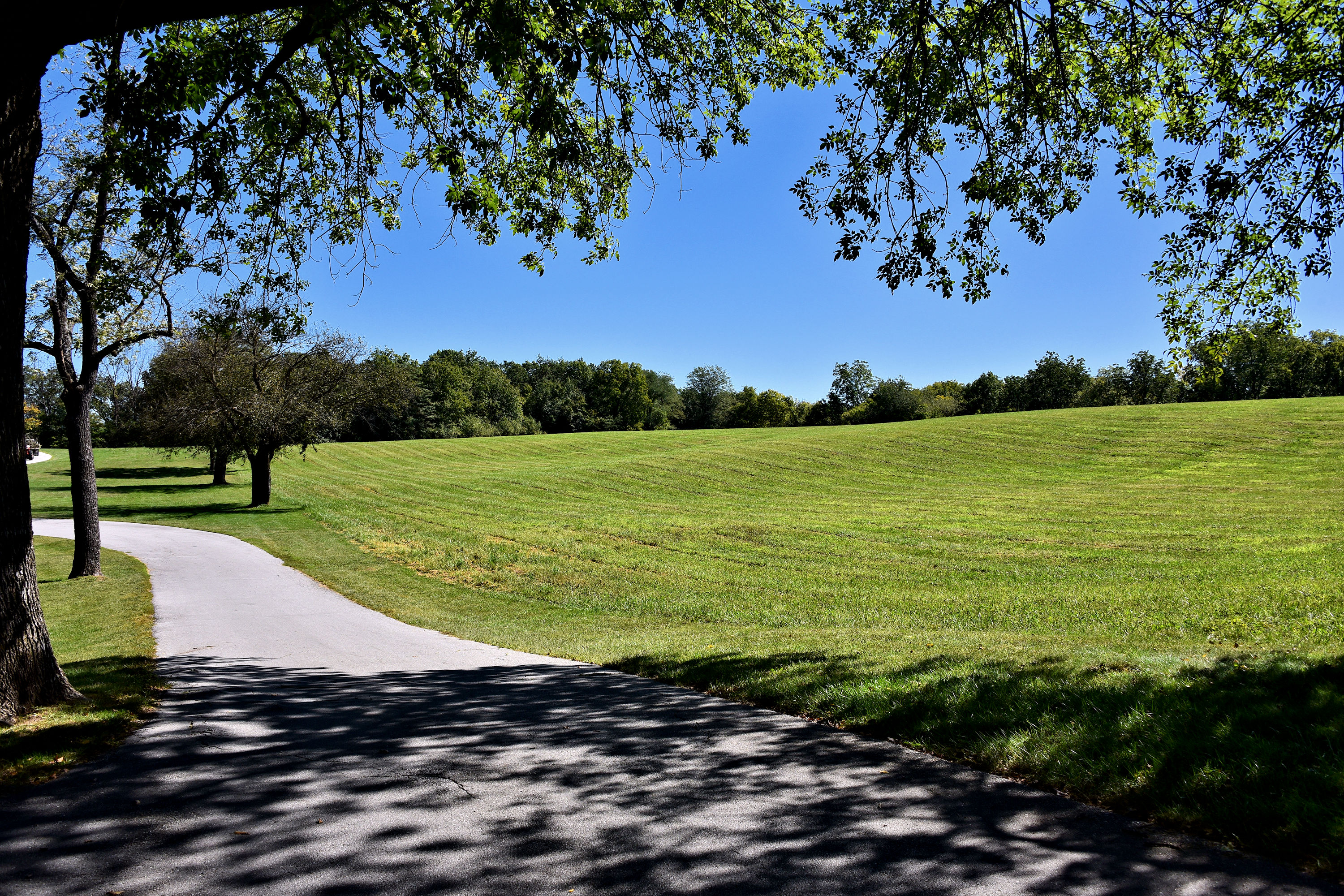
Arrow Rock Park, MO
151107-01 (2015-11-07) - 0027
151107-01 (2015-11-07) - 0004
Topographic Map of County Road, Co Rd, Boonslick Township, MO, USA
Find elevation by address:

Places near County Road, Co Rd, Boonslick Township, MO, USA:
Arrow Rock
Main St, Arrow Rock, MO, USA
202 5th St
Arrow Rock Township
17800 Clear Springs Dr
17790 Clear Springs Dr
17790 Clear Springs Dr
MO-, Gilliam, MO, USA
Prairie Lick Road
18173 Mallard Trail
Mallard Trail, Marshall, MO, USA
9708 Prairie Lick Rd
329 N Emmerson St
Pilot Grove Township
Slater
Cambridge Township
Cooper County
E Eastwood St, Marshall, MO, USA
Saline County
Marshall
Recent Searches:
- Elevation of Corso Fratelli Cairoli, 35, Macerata MC, Italy
- Elevation of Tallevast Rd, Sarasota, FL, USA
- Elevation of 4th St E, Sonoma, CA, USA
- Elevation of Black Hollow Rd, Pennsdale, PA, USA
- Elevation of Oakland Ave, Williamsport, PA, USA
- Elevation of Pedrógão Grande, Portugal
- Elevation of Klee Dr, Martinsburg, WV, USA
- Elevation of Via Roma, Pieranica CR, Italy
- Elevation of Tavkvetili Mountain, Georgia
- Elevation of Hartfords Bluff Cir, Mt Pleasant, SC, USA