Elevation of Pik Garmo, Tajikistan
Location: Tajikistan > Gorno-badakhshan Autonomous Province > Tavildara >
Longitude: 72.0724999
Latitude: 38.8108333
Elevation: 6561m / 21526feet
Barometric Pressure: 44KPa
Elevation Map:
Satellite Map:
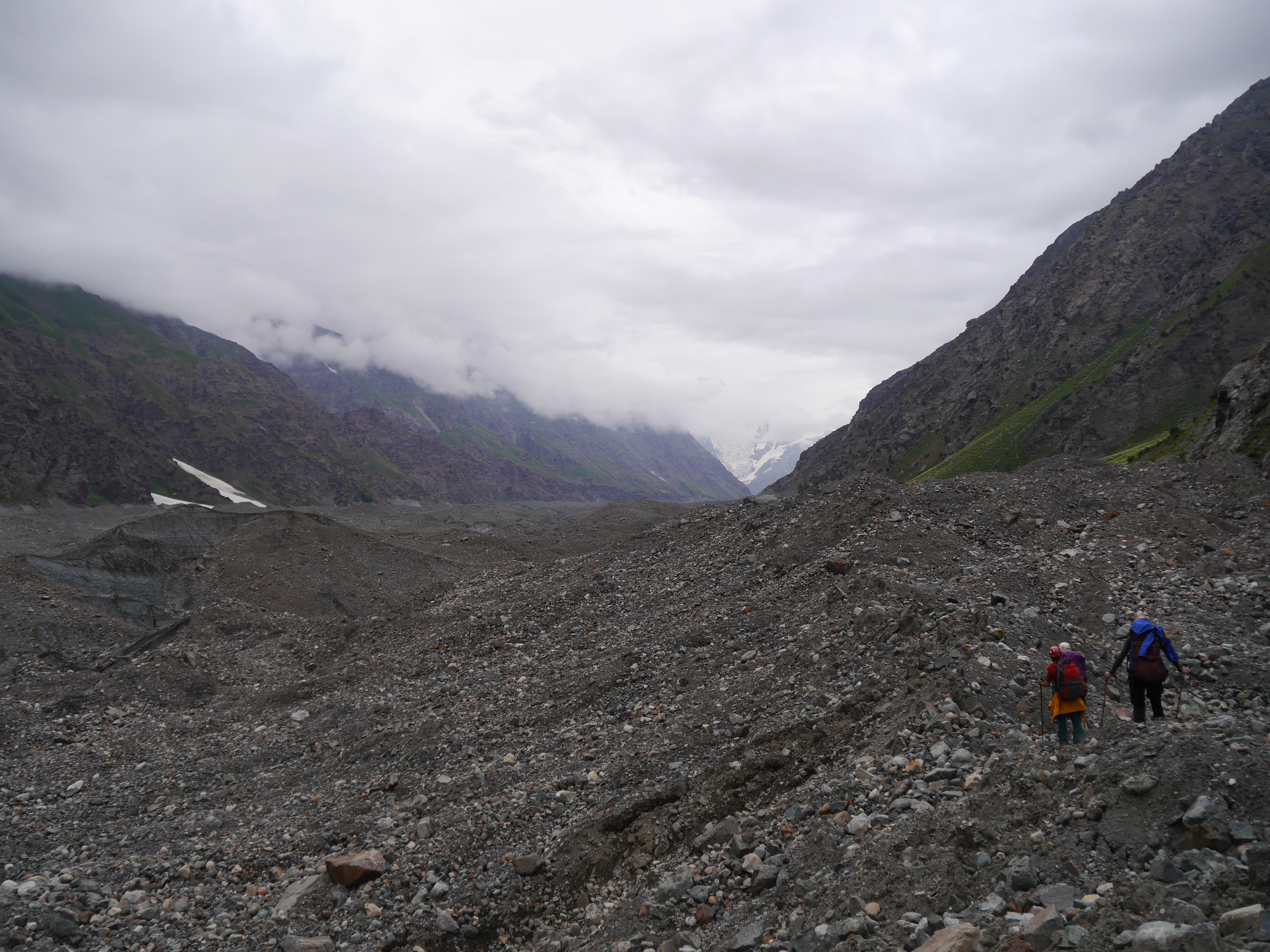
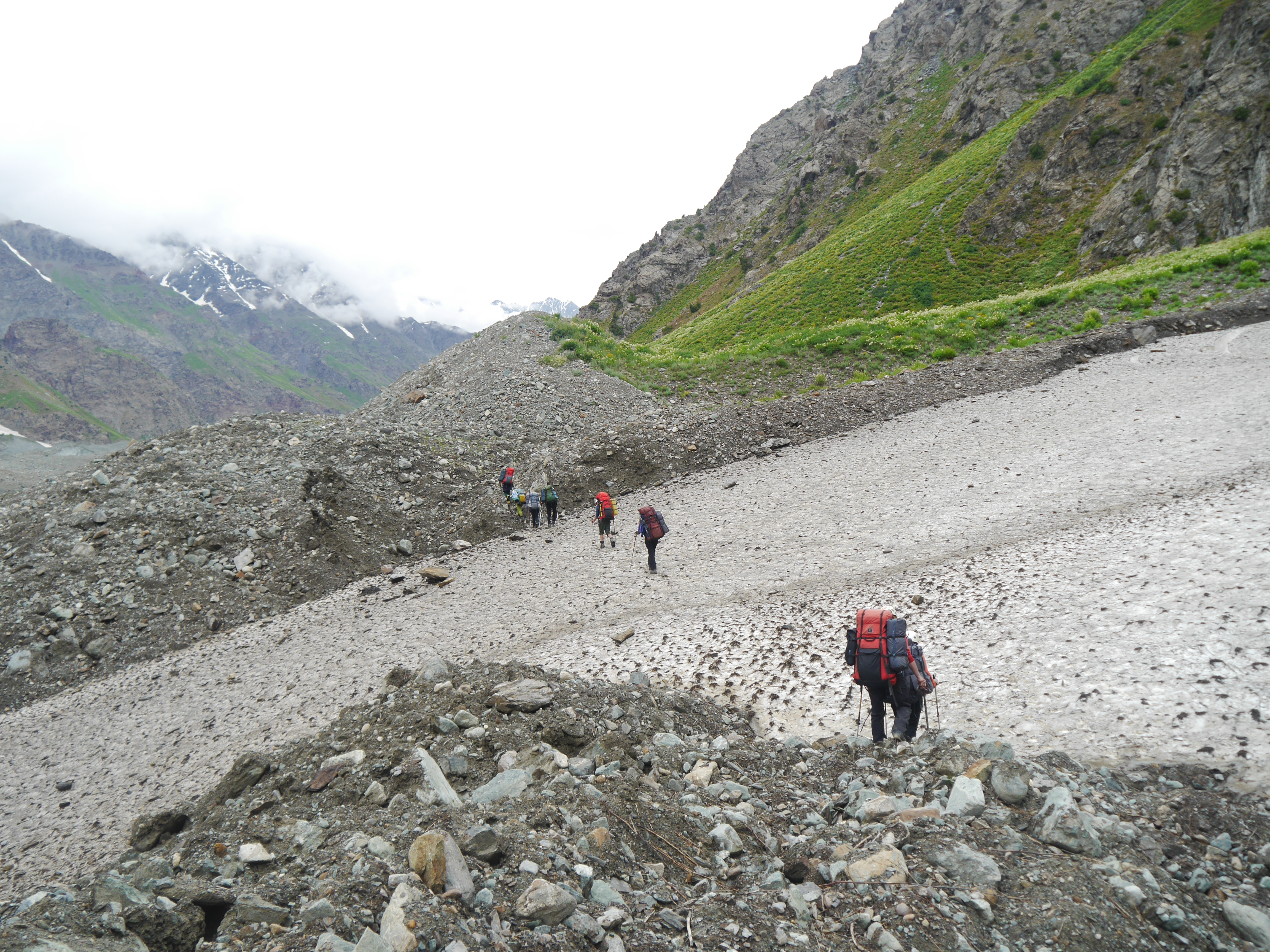
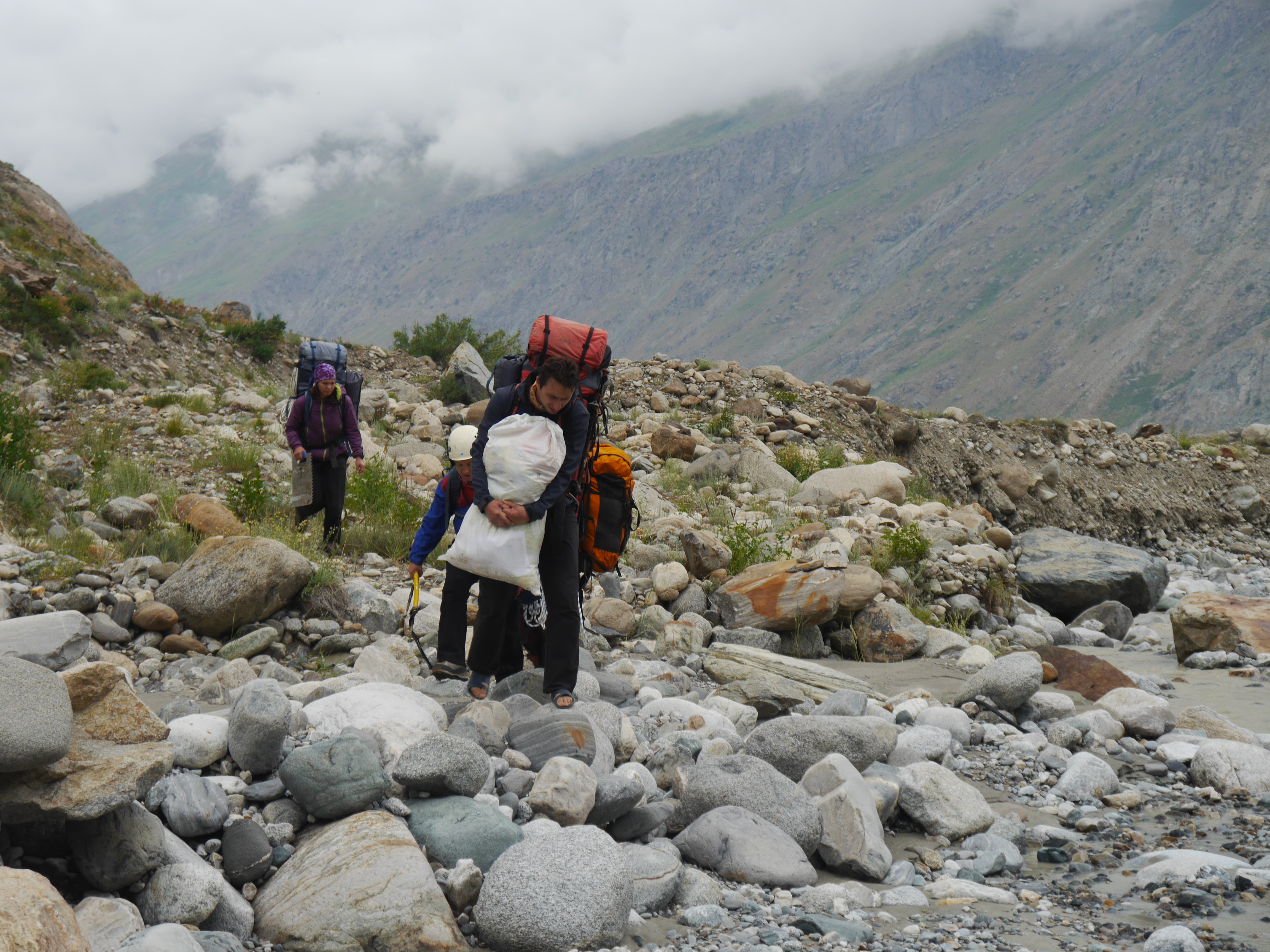
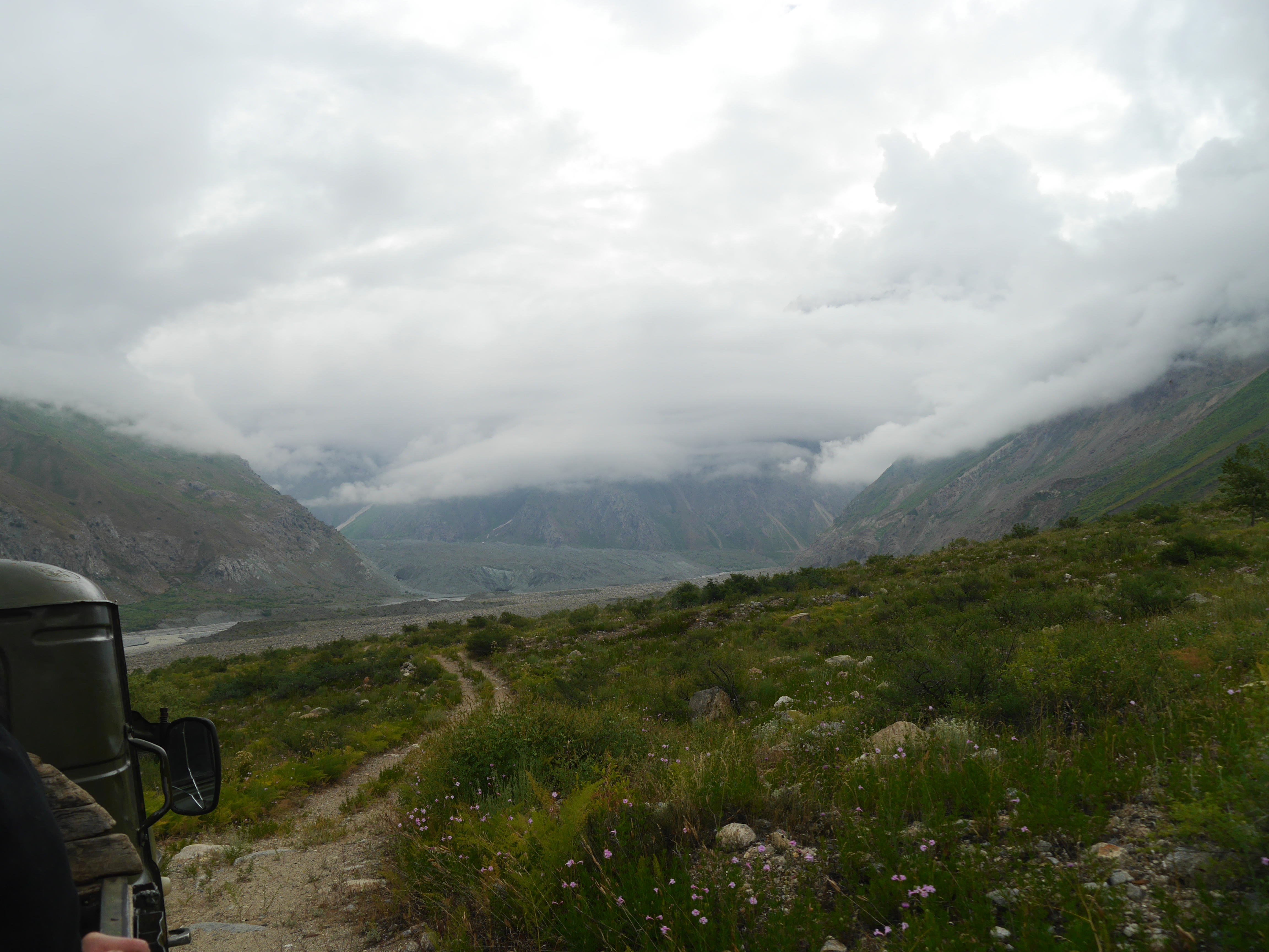
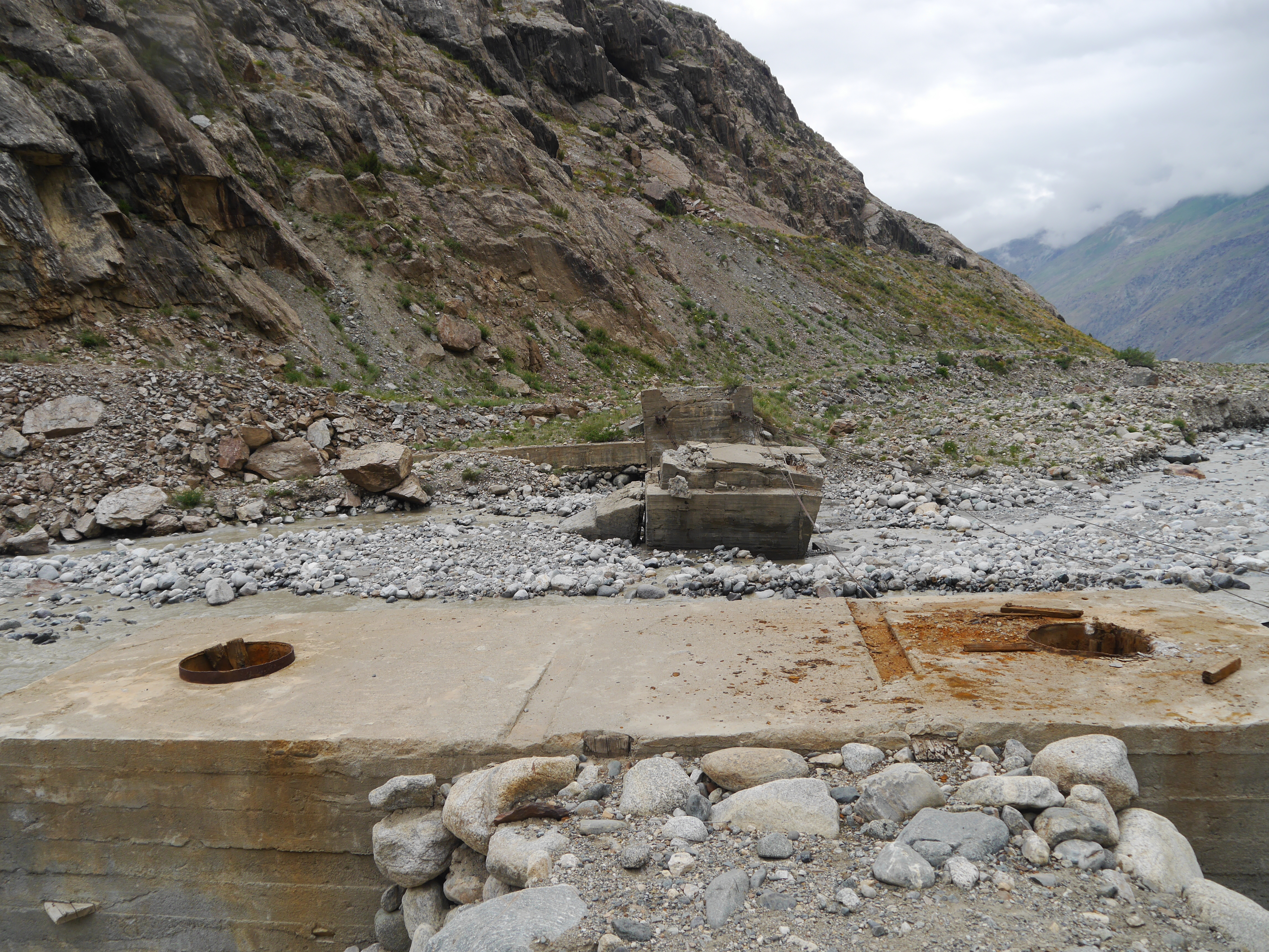
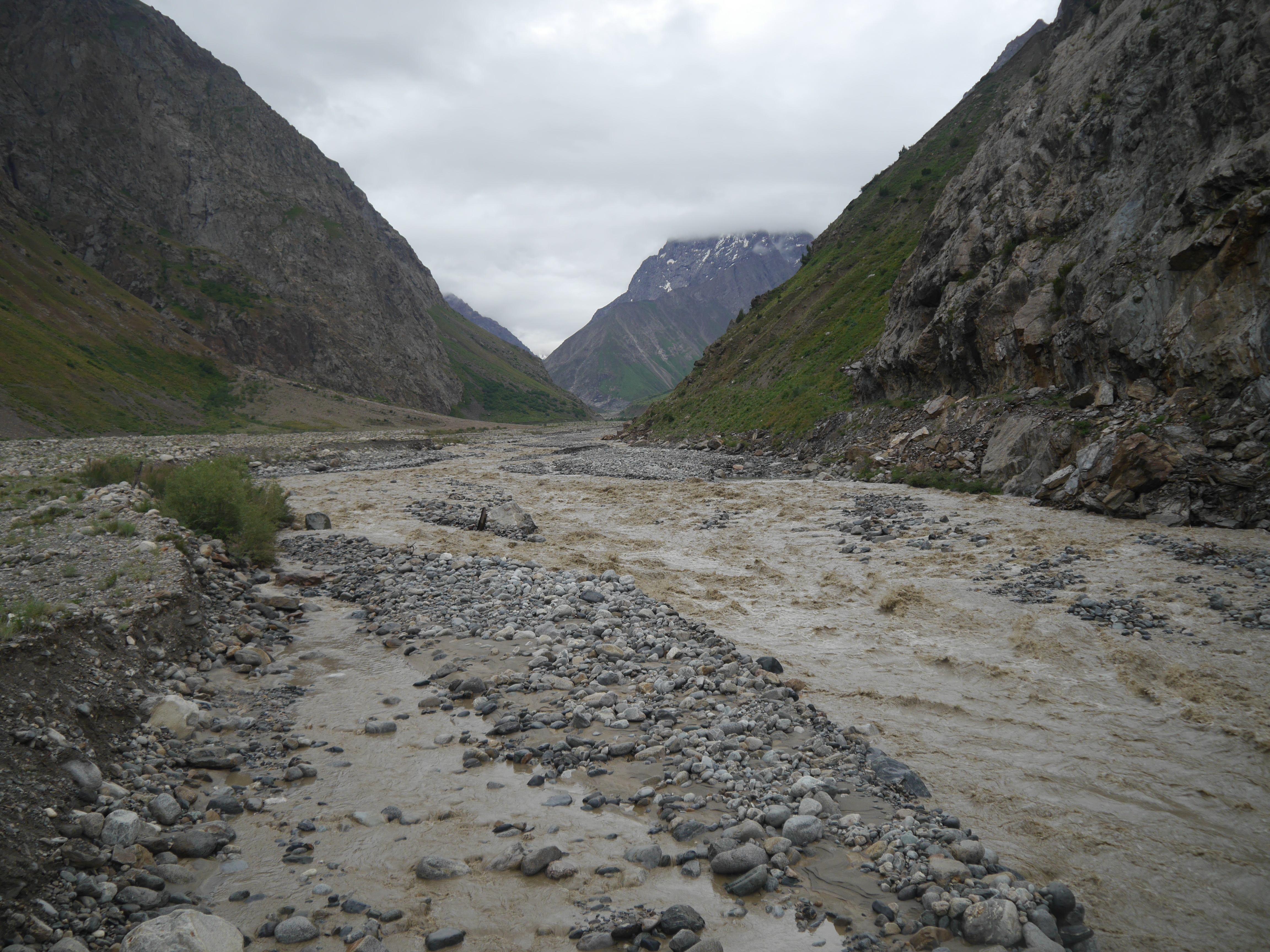
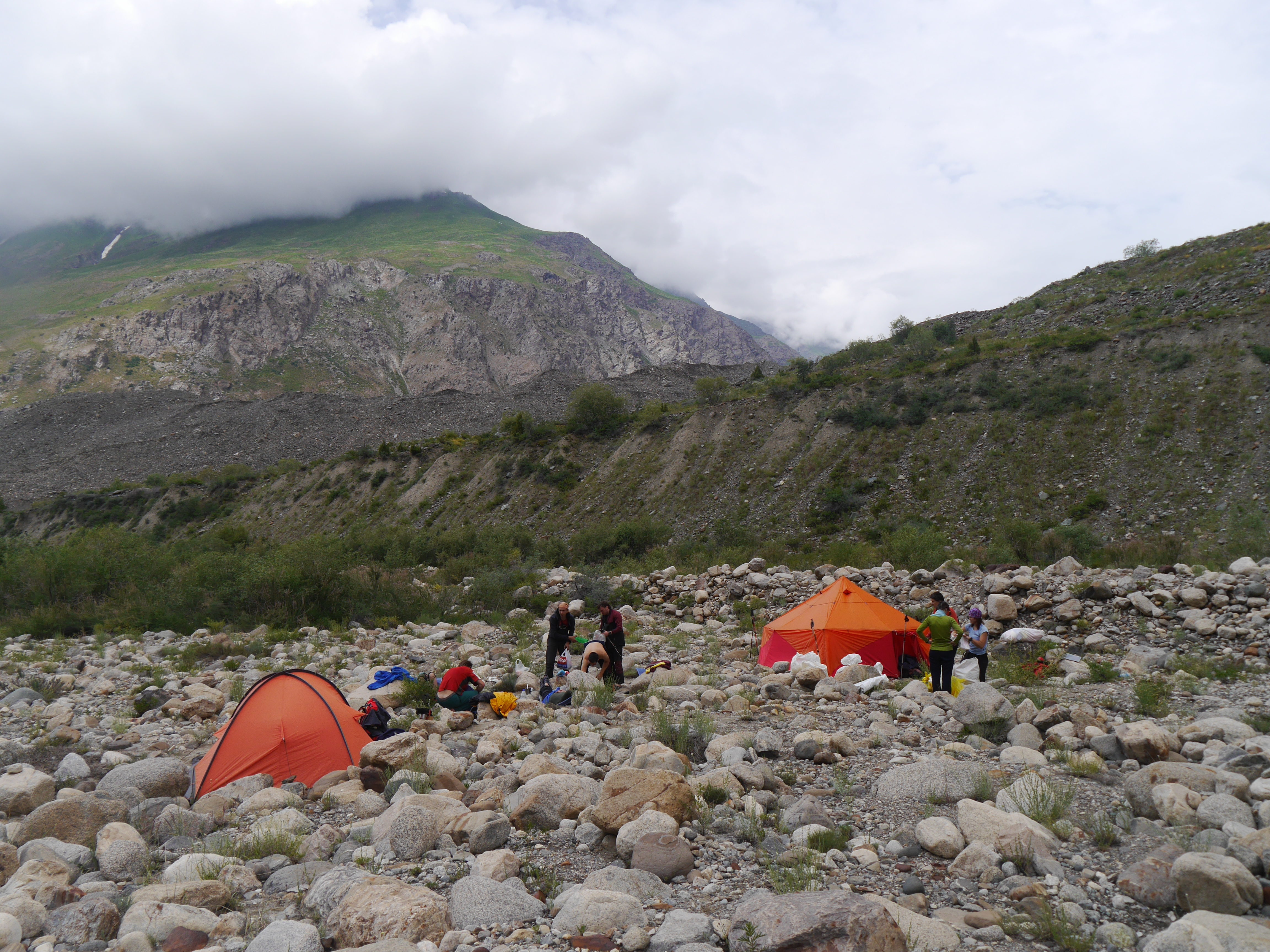
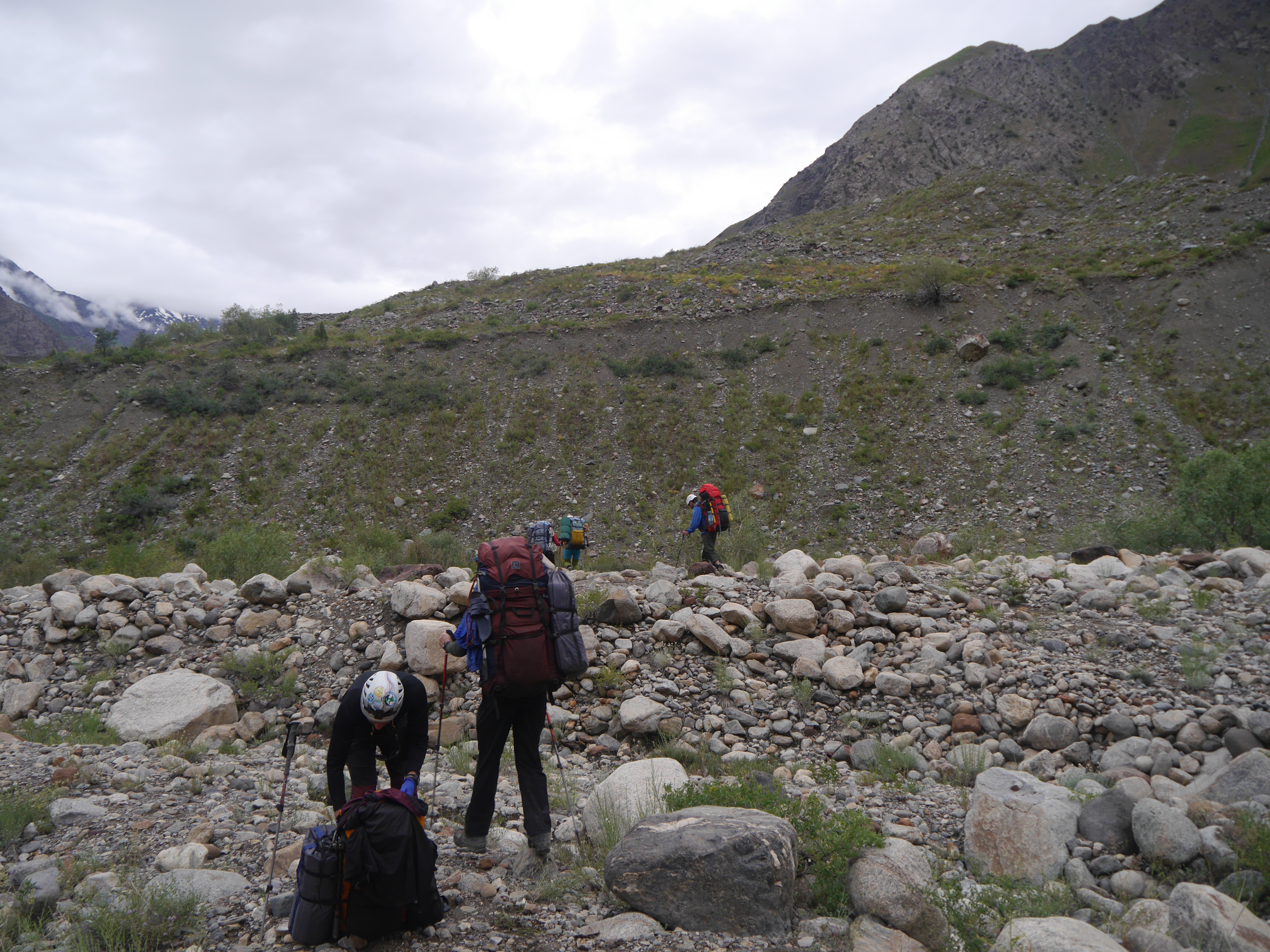
Related Photos:
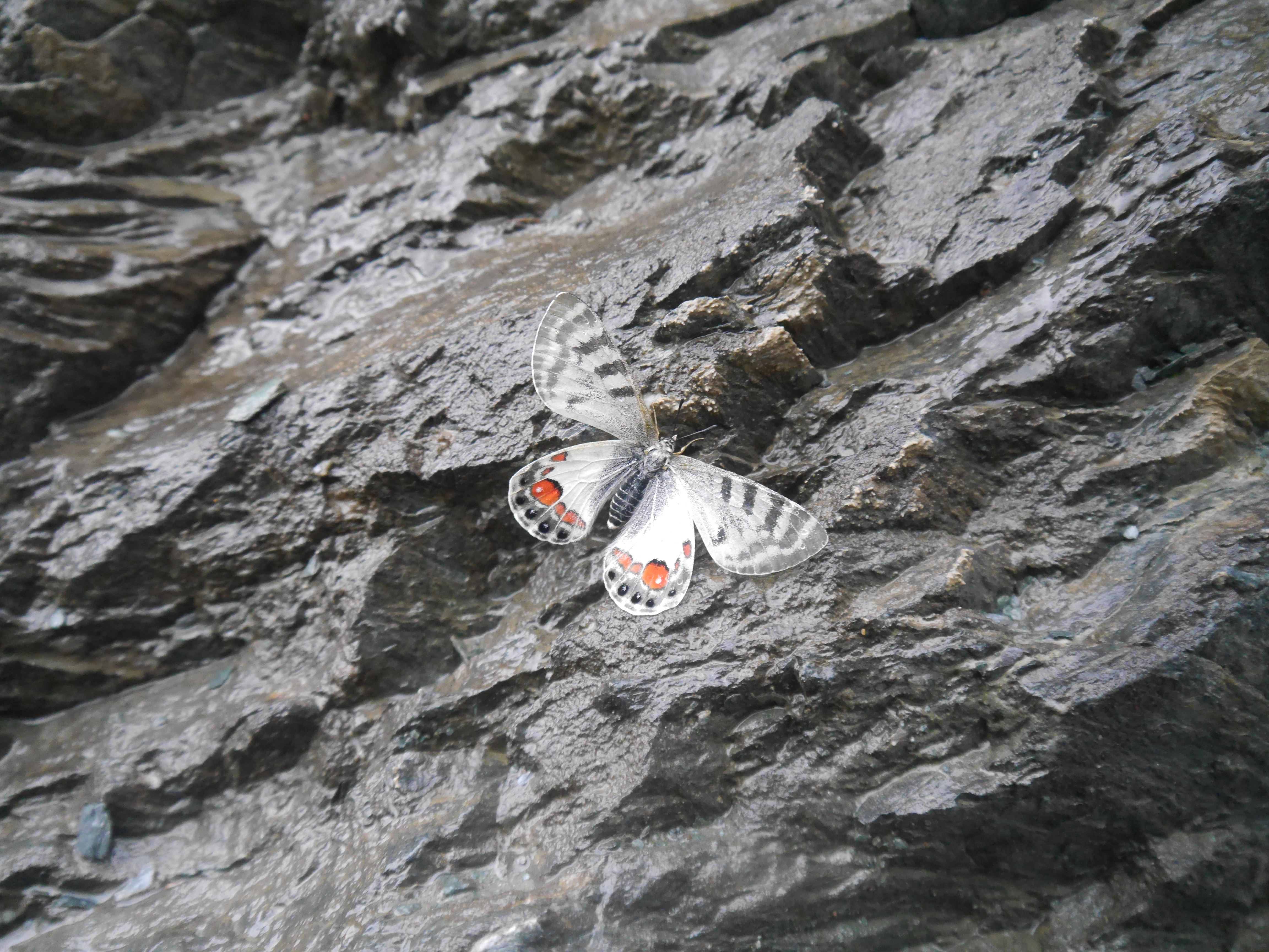
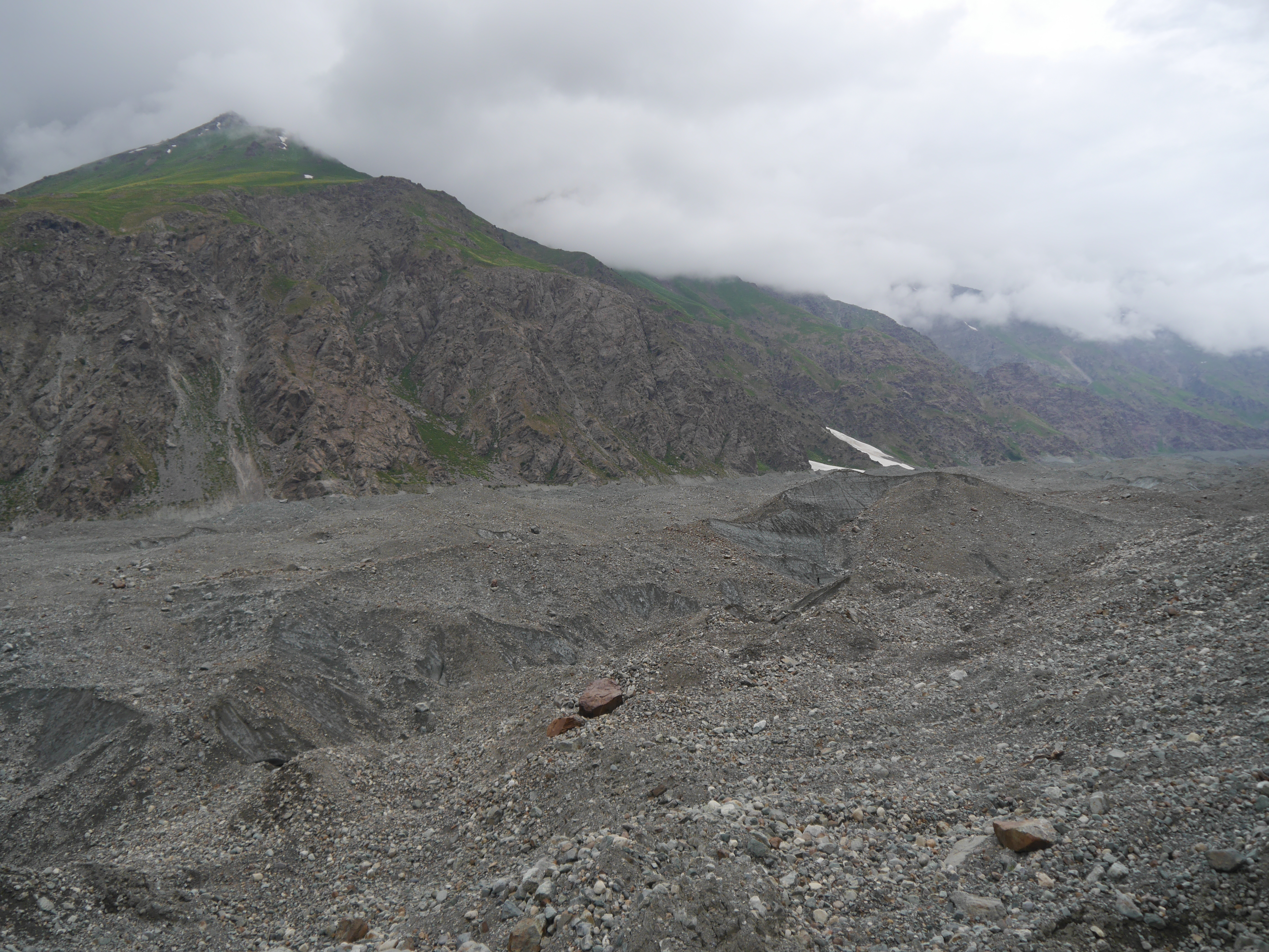
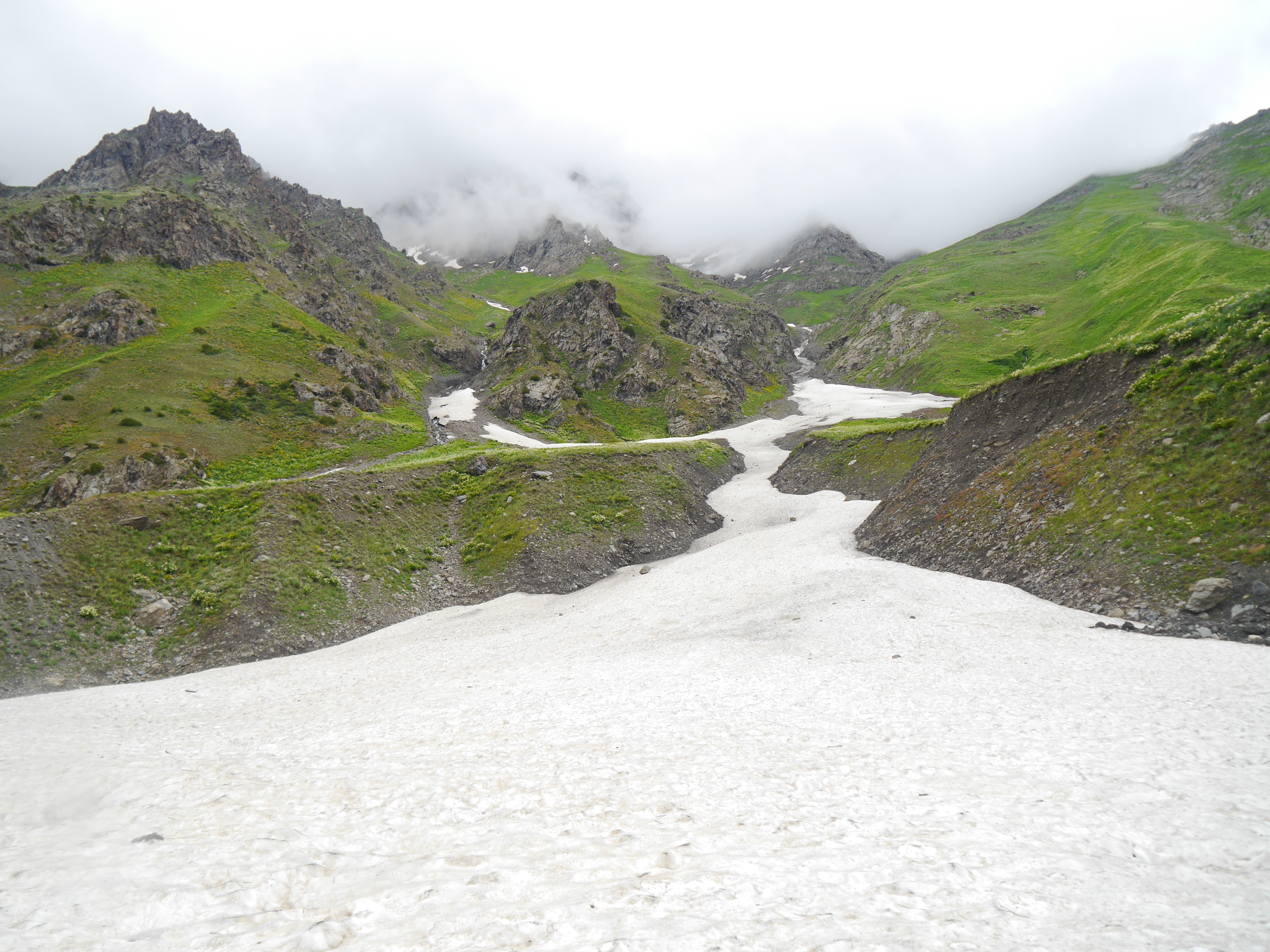
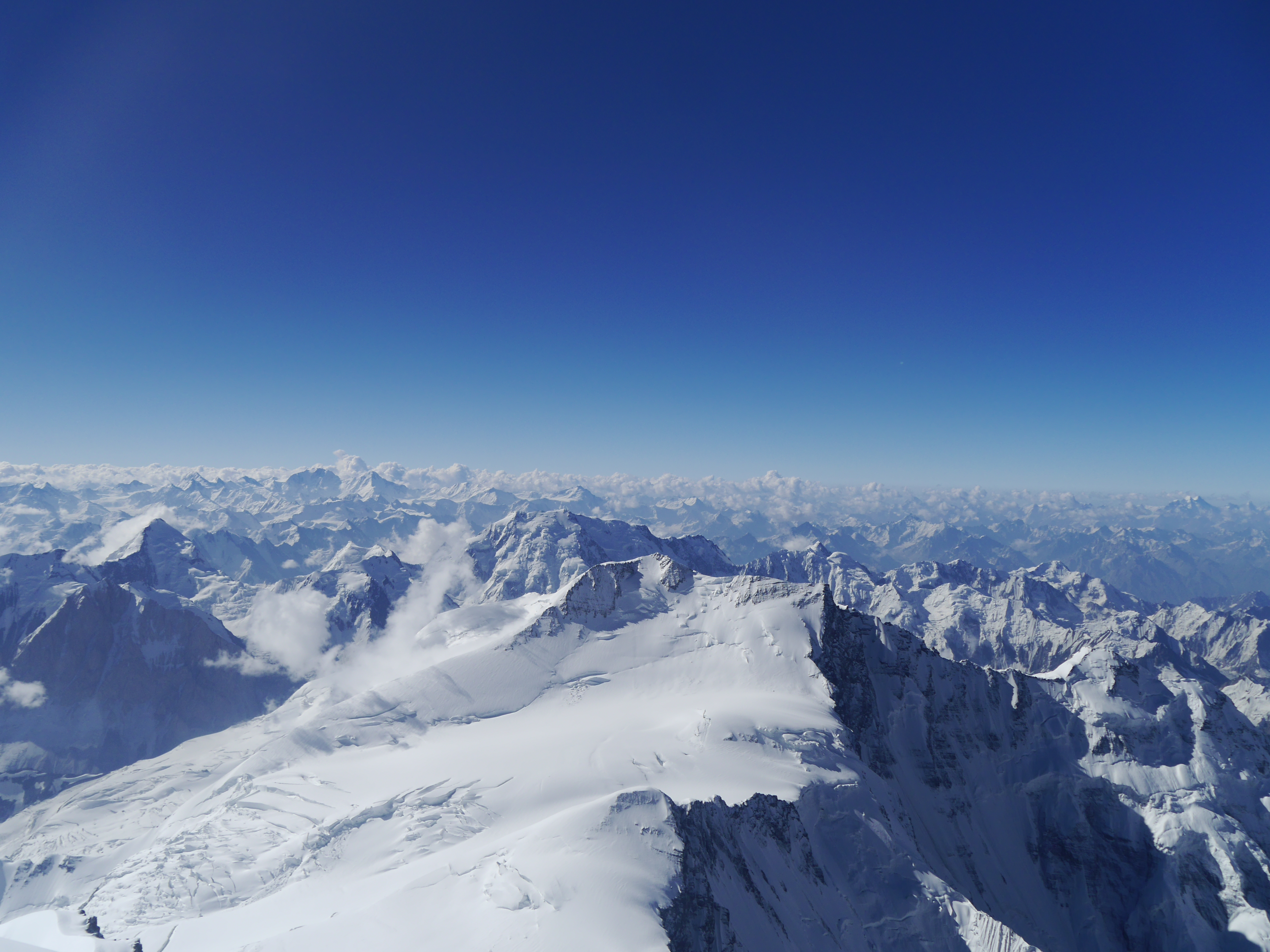
2015-08-04 06.35.17
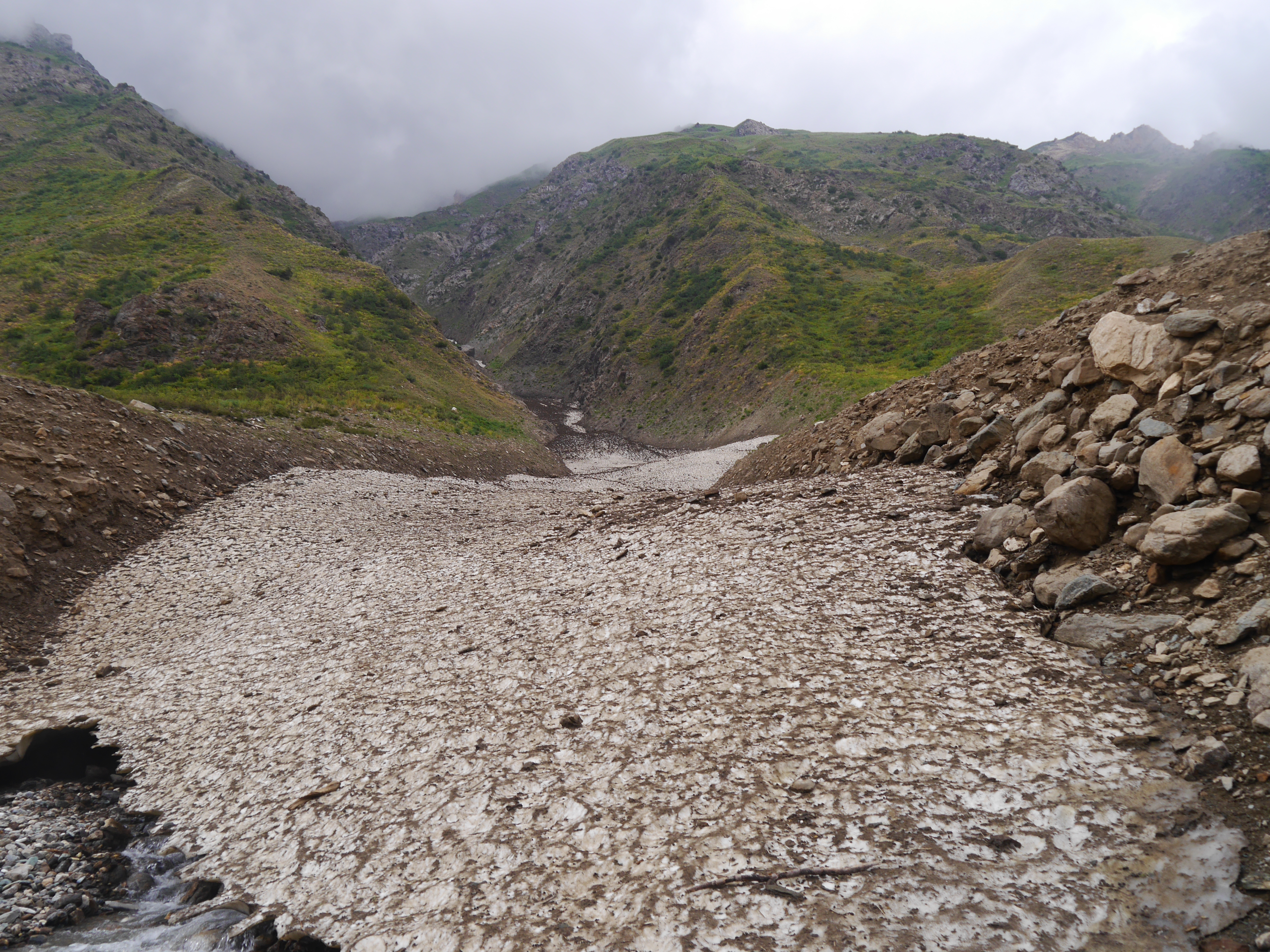
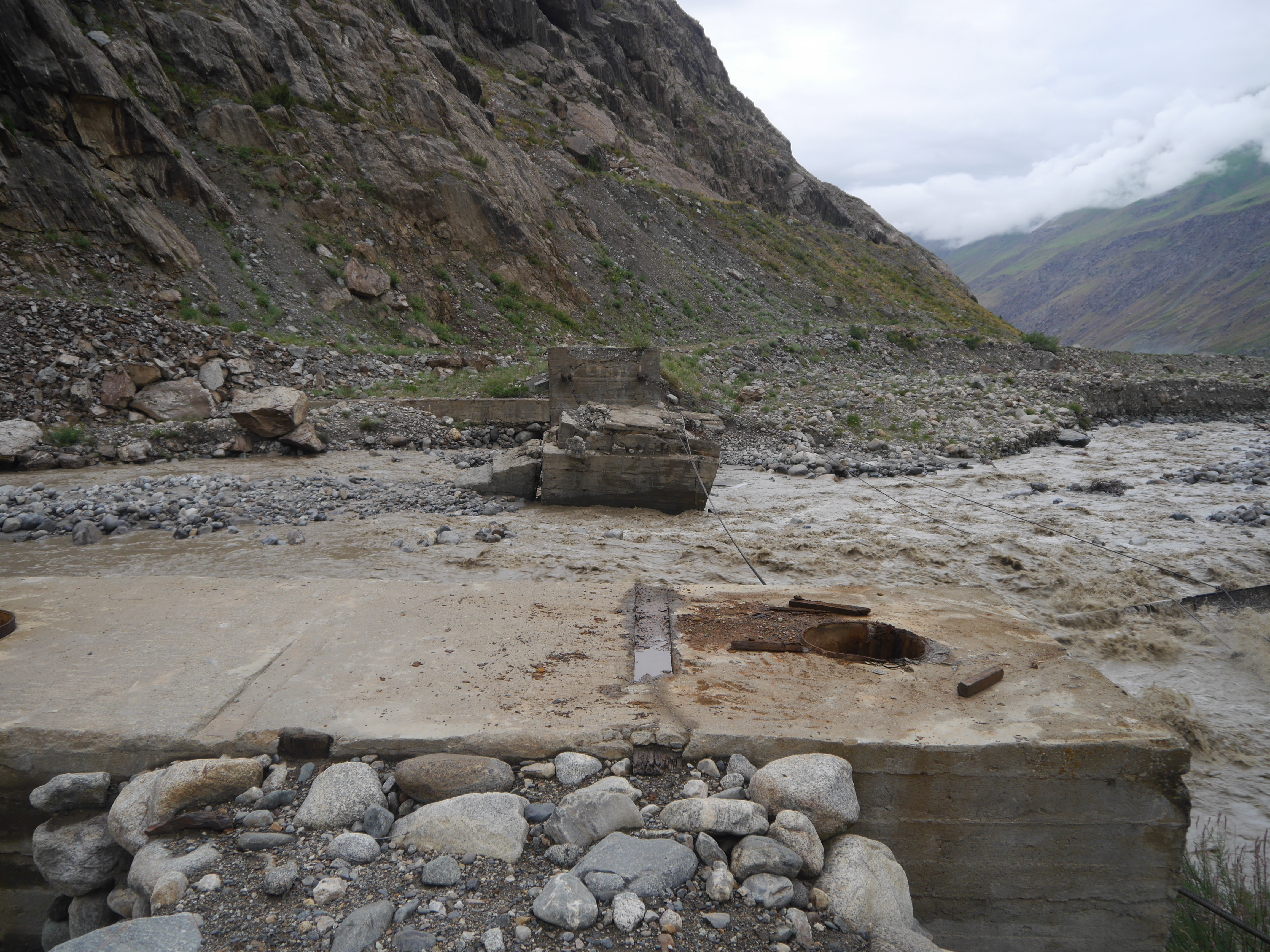
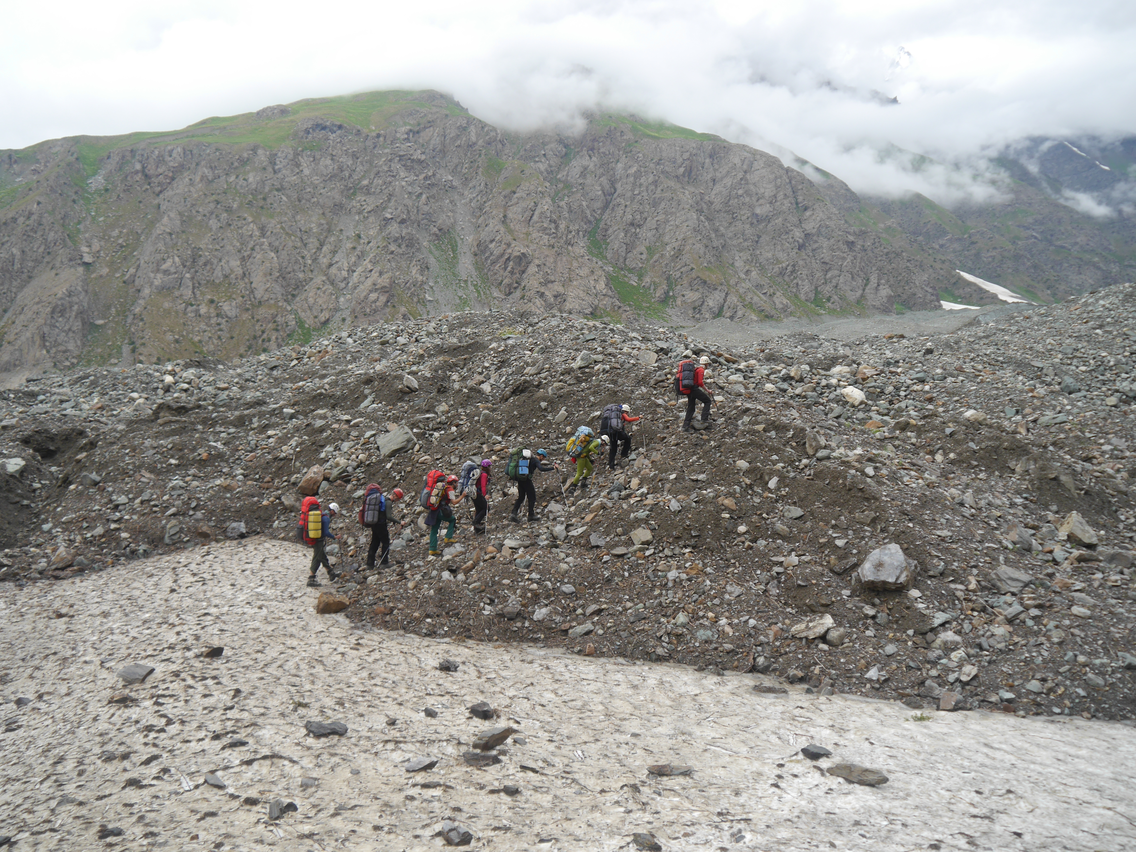
2015-07-20 09.22.33
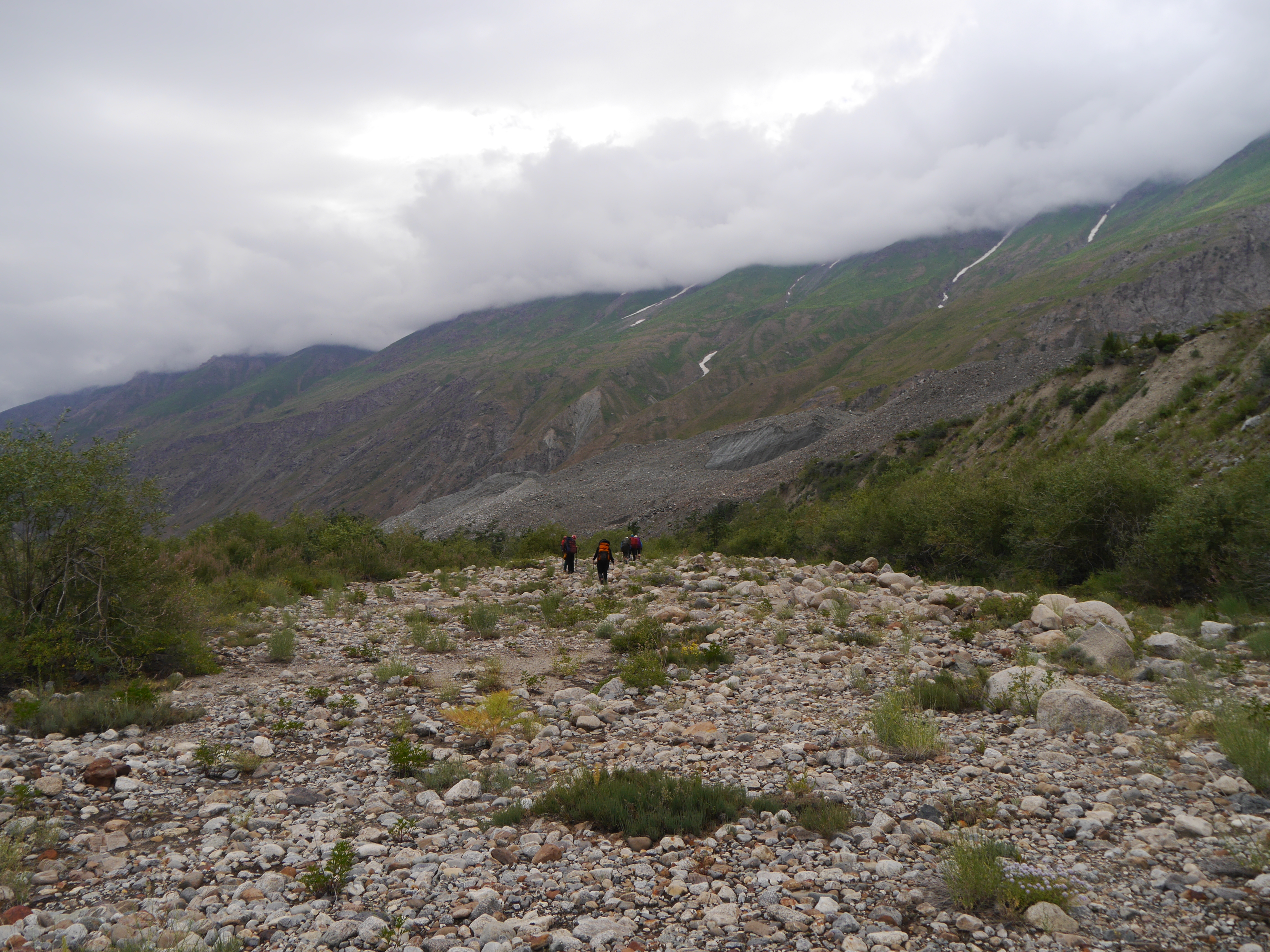
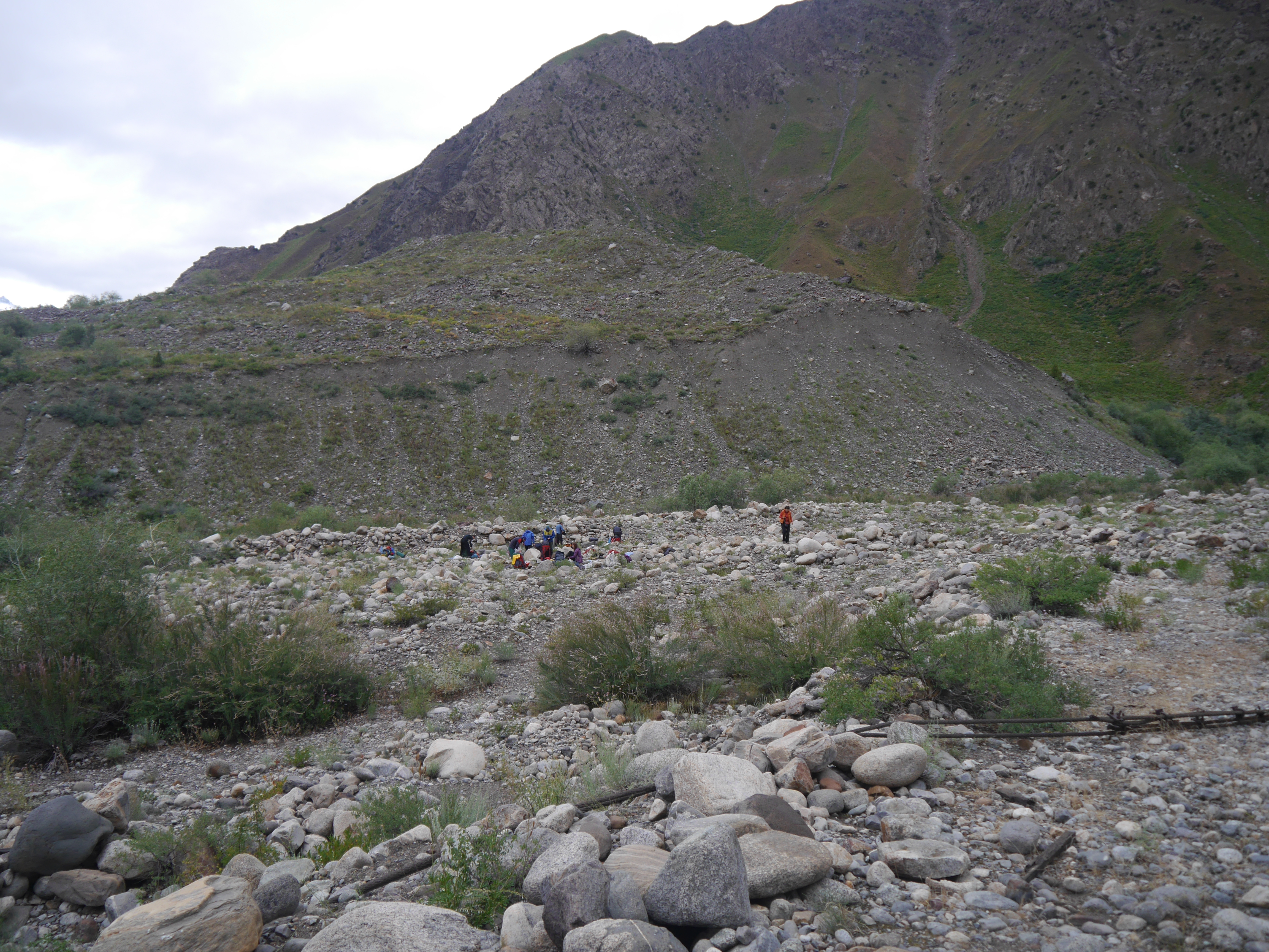
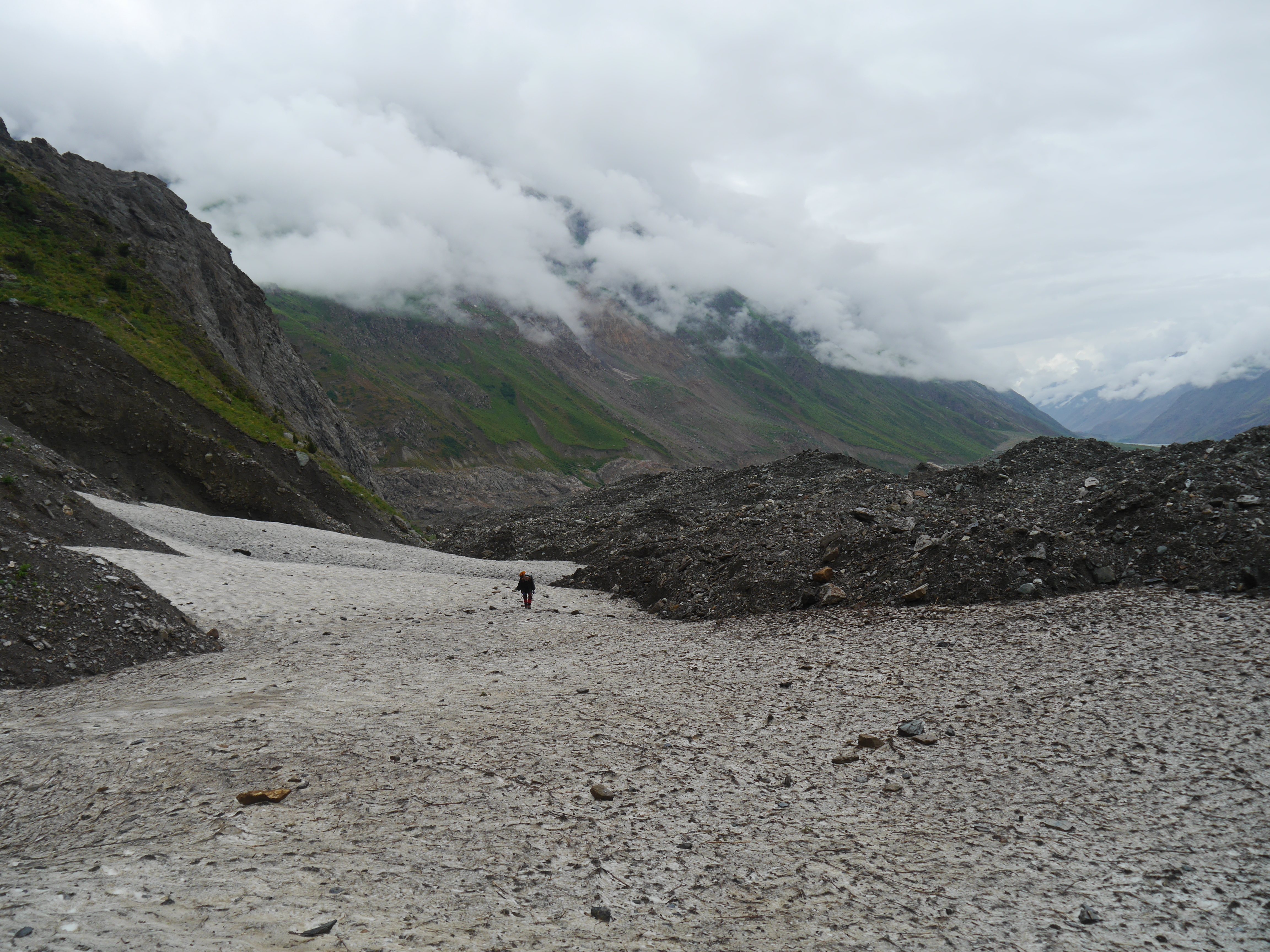
2015-07-20 15.23.46
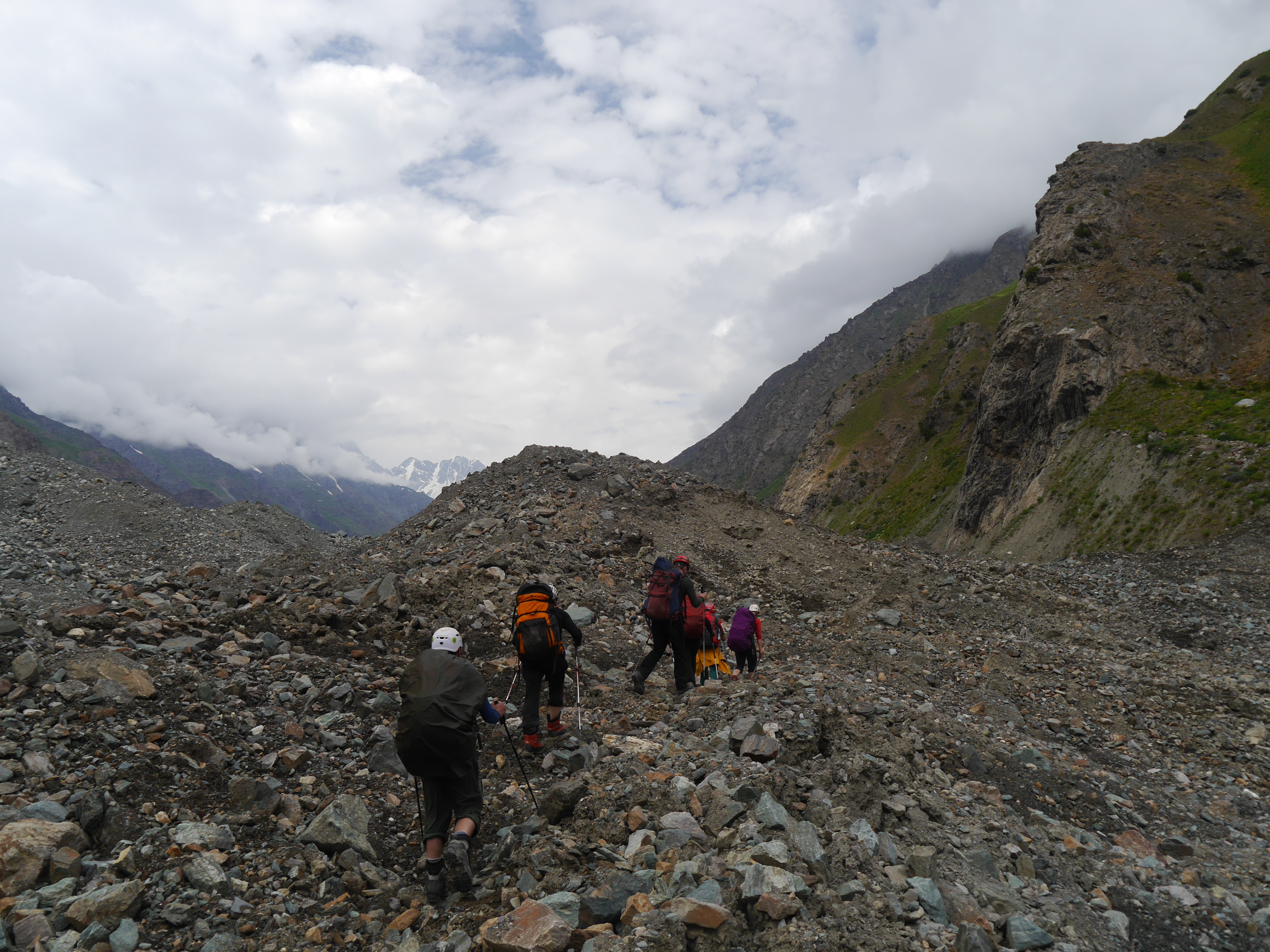
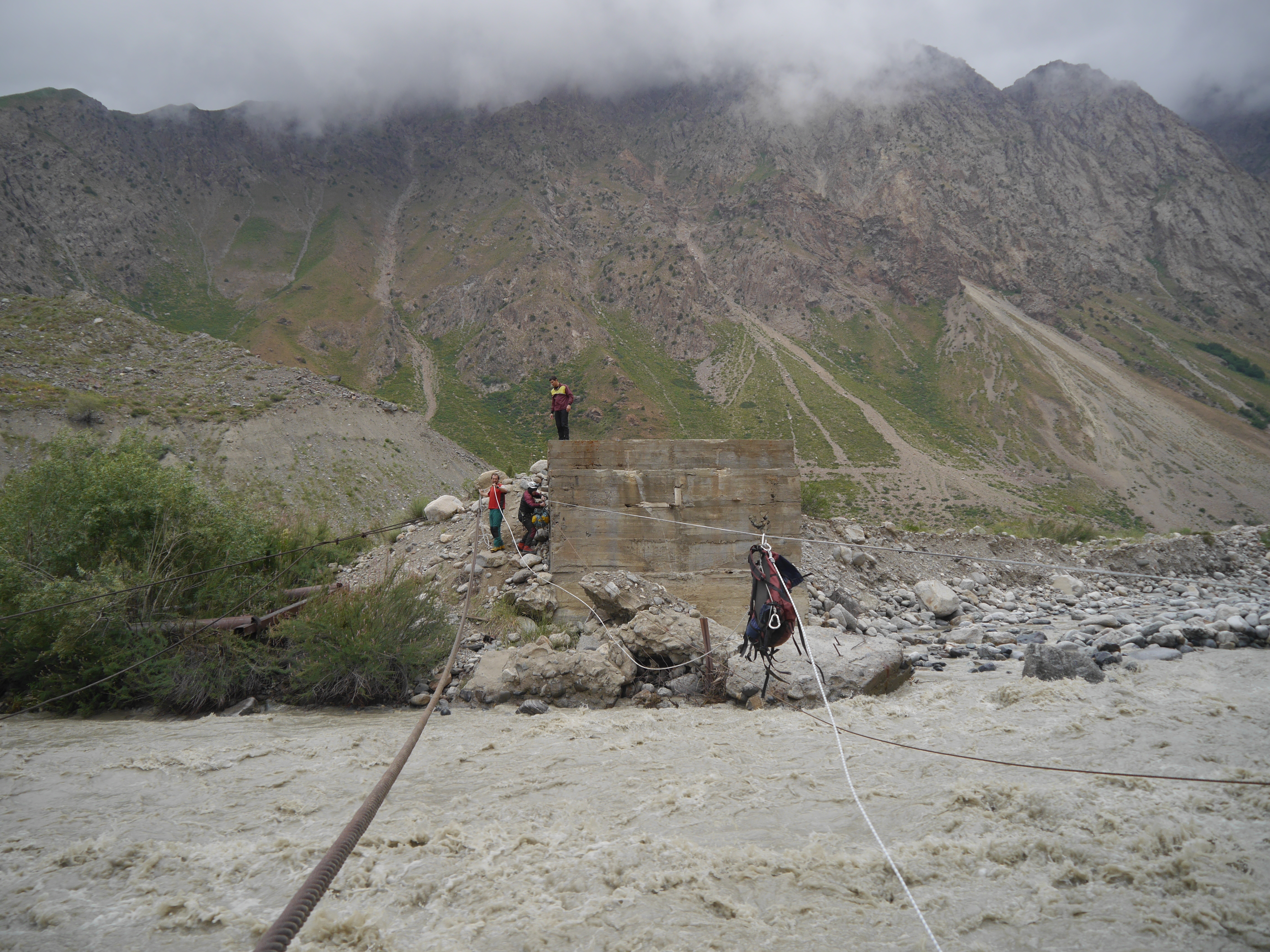
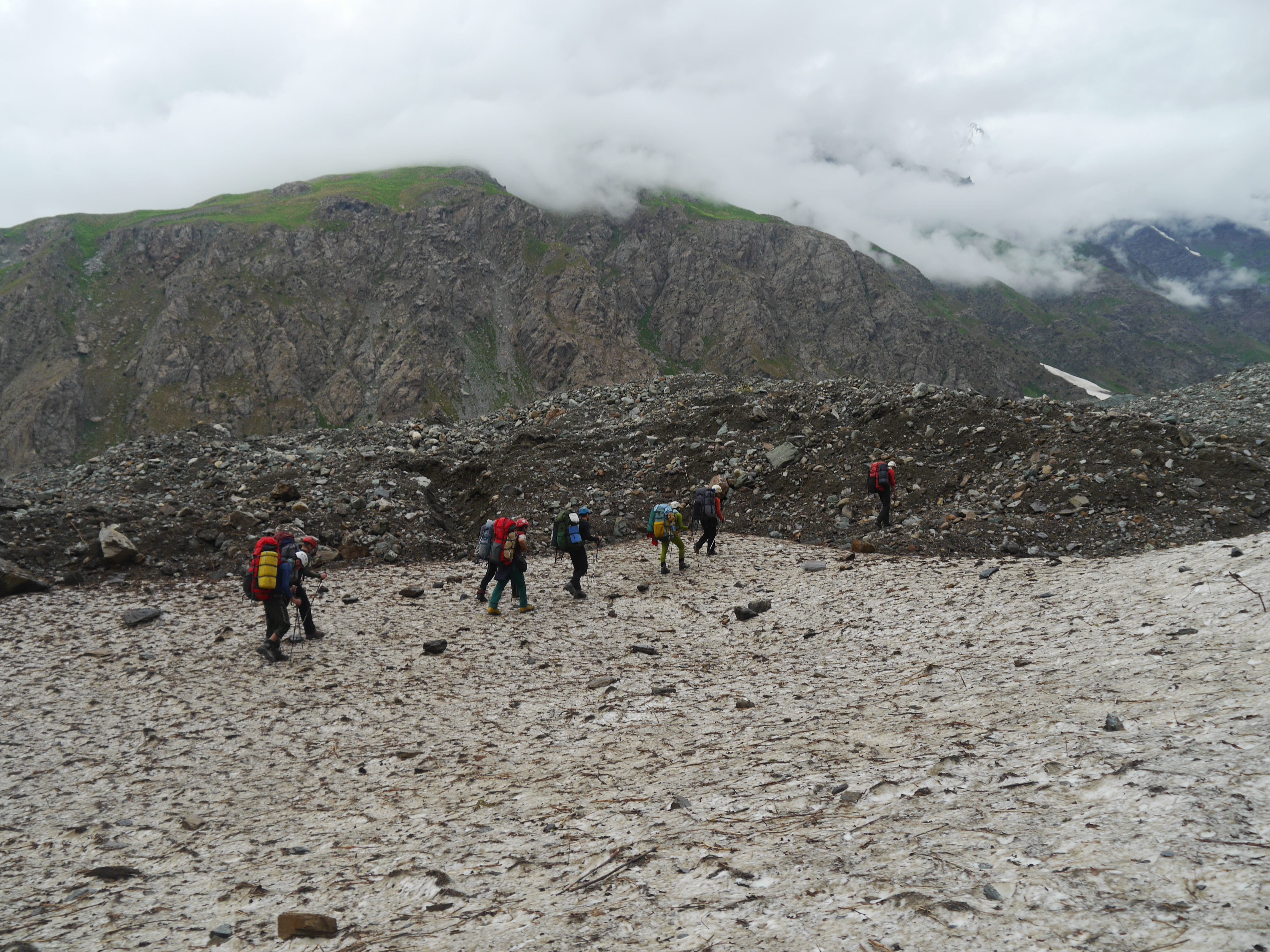
2015-07-20 15.53.35
2015-07-20 16.37.04
2015-07-21 09.54.20
2015-07-20 10.24.32
2015-07-20 09.50.27
2015-07-20 16.37.00
2015-07-21 07.21.01
2015-07-21 07.21.39
2015-07-20 11.24.36
2015-07-20 11.50.32
2015-07-21 07.21.49
2015-07-20 14.20.18
2015-07-21 07.46.01
2015-07-21 14.47.17
2015-07-21 08.53.37
2015-07-21 08.53.45
2015-07-21 08.53.18
2015-08-17 08.36.10
Topographic Map of Pik Garmo, Tajikistan
Find elevation by address:

Places near Pik Garmo, Tajikistan:
Ismoil Somoni Peak
Pamir Mountains
Jirgatol
Bartang
Qullai Vudor
Rushon
Gora Kulin
Lenin Peak
Gorno-badakhshan Autonomous Province
Recent Searches:
- Elevation of Corso Fratelli Cairoli, 35, Macerata MC, Italy
- Elevation of Tallevast Rd, Sarasota, FL, USA
- Elevation of 4th St E, Sonoma, CA, USA
- Elevation of Black Hollow Rd, Pennsdale, PA, USA
- Elevation of Oakland Ave, Williamsport, PA, USA
- Elevation of Pedrógão Grande, Portugal
- Elevation of Klee Dr, Martinsburg, WV, USA
- Elevation of Via Roma, Pieranica CR, Italy
- Elevation of Tavkvetili Mountain, Georgia
- Elevation of Hartfords Bluff Cir, Mt Pleasant, SC, USA