Elevation map of Jirgatol, Tajikistan
Location: Tajikistan > Gorno-badakhshan Autonomous Province >
Longitude: 71.8571331
Latitude: 39.11633
Elevation: 4305m / 14124feet
Barometric Pressure: 59KPa
Elevation Map:
Satellite Map:
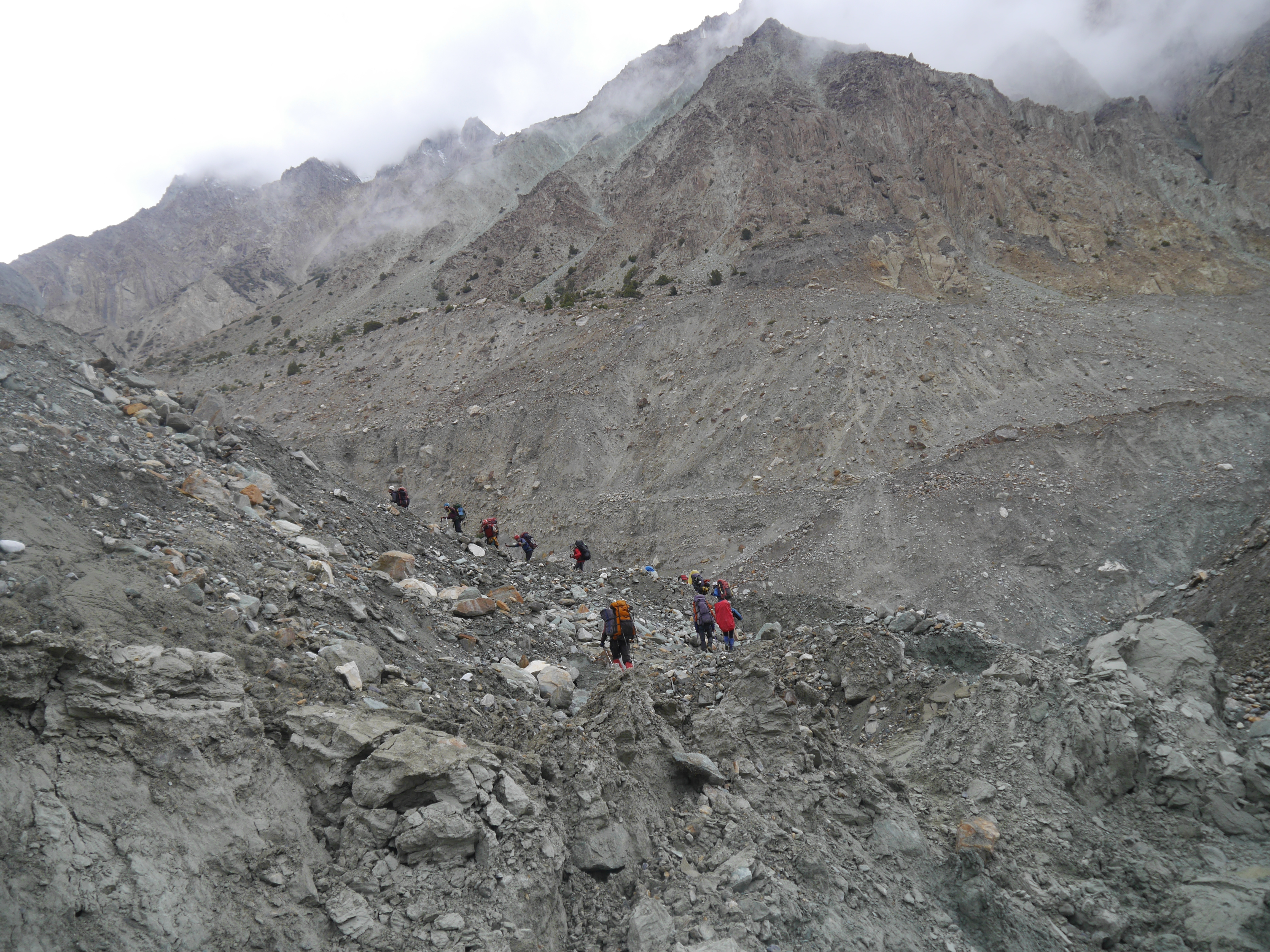
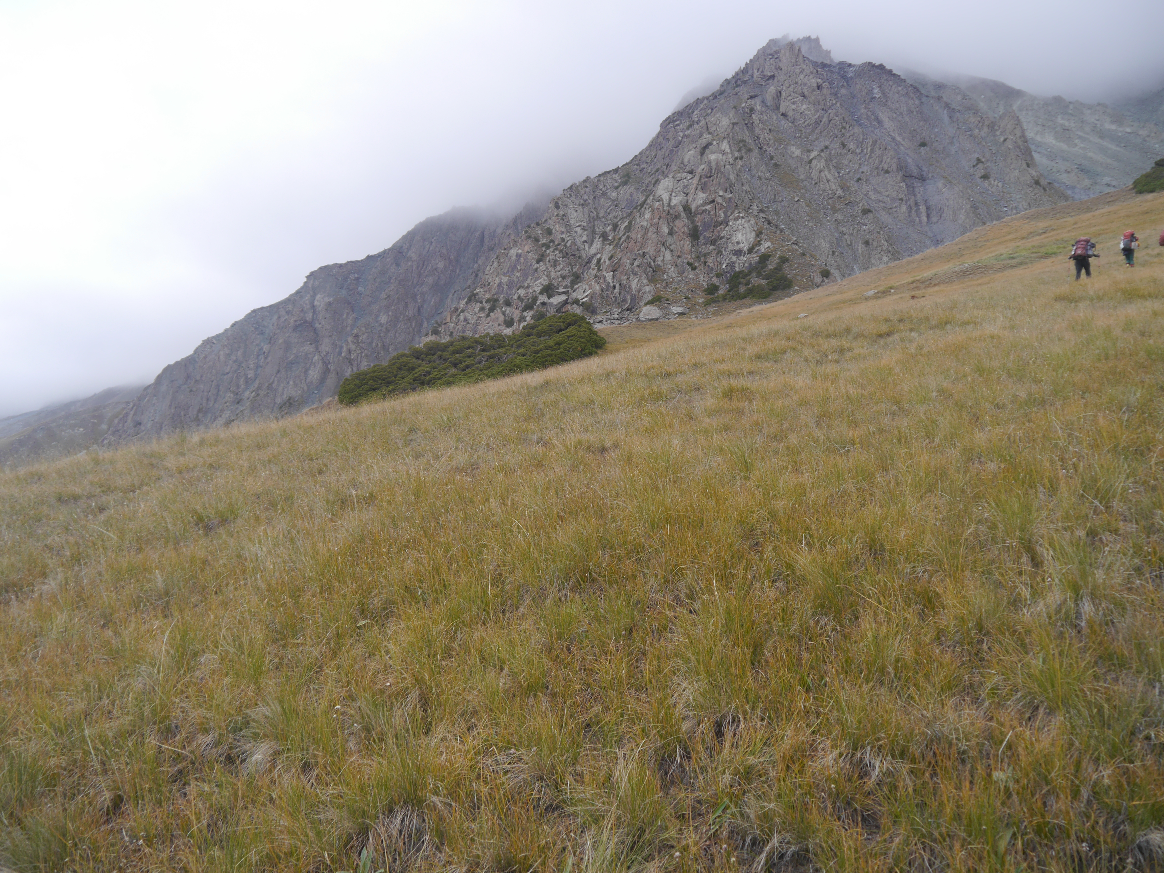
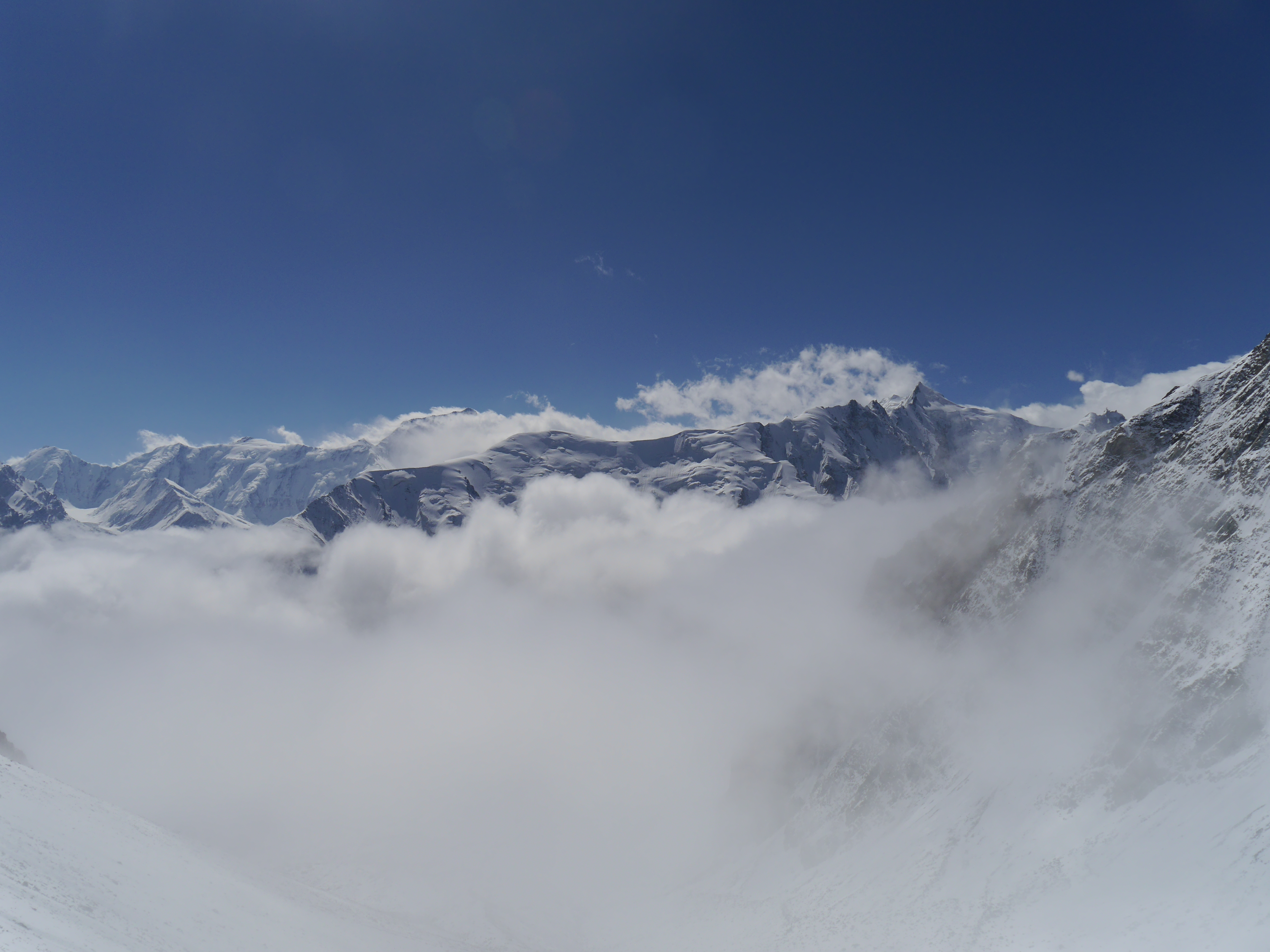
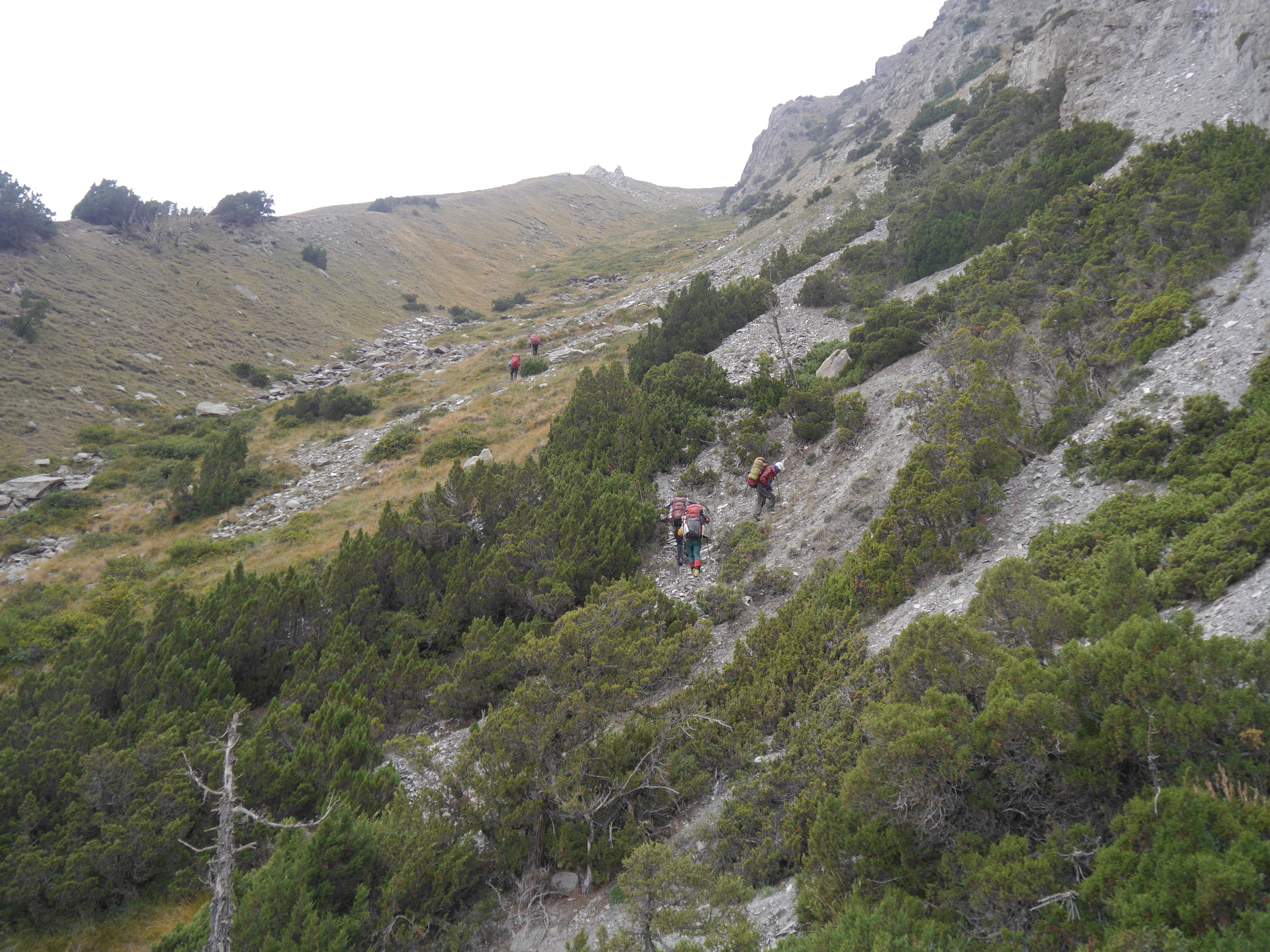
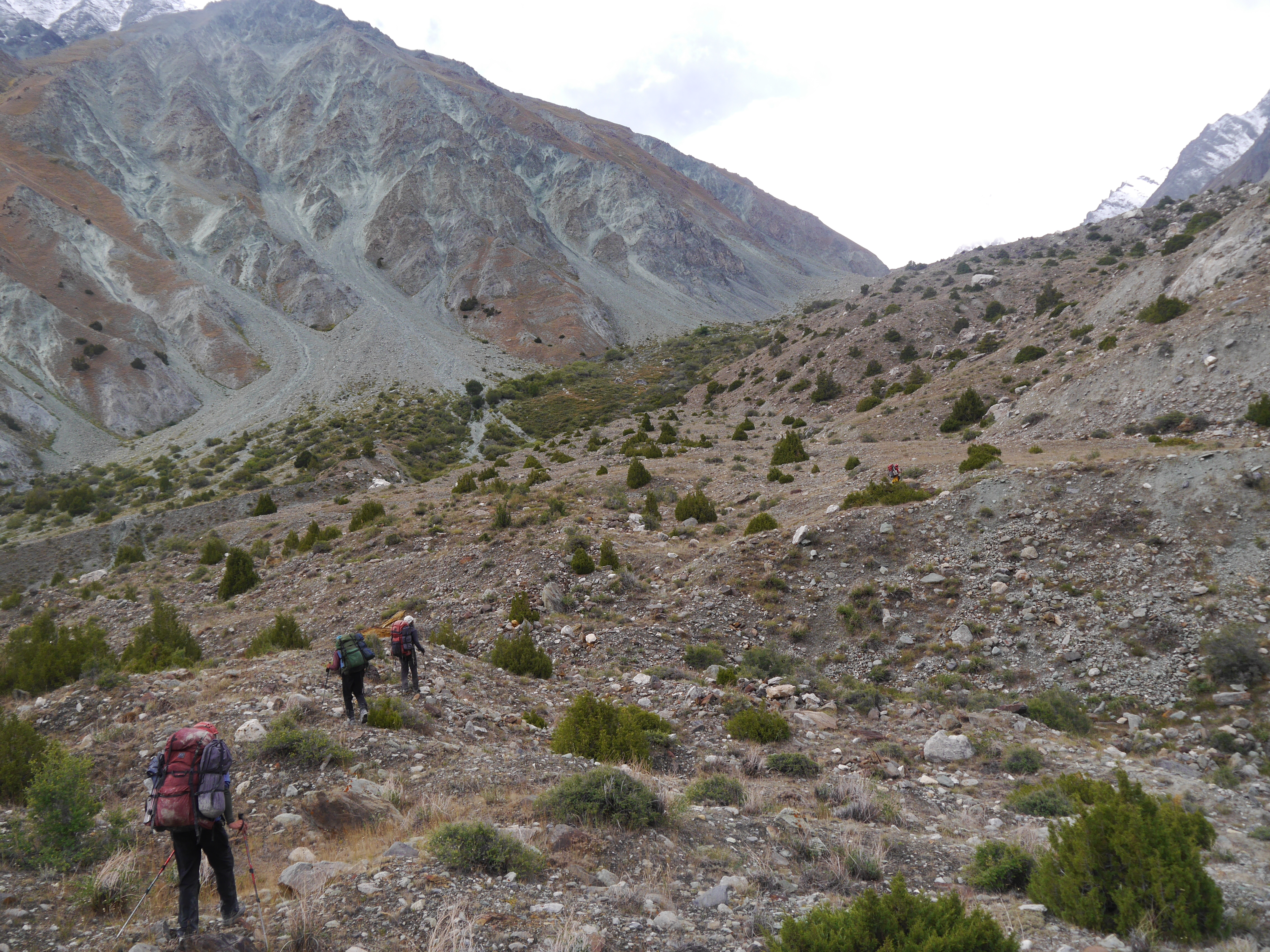
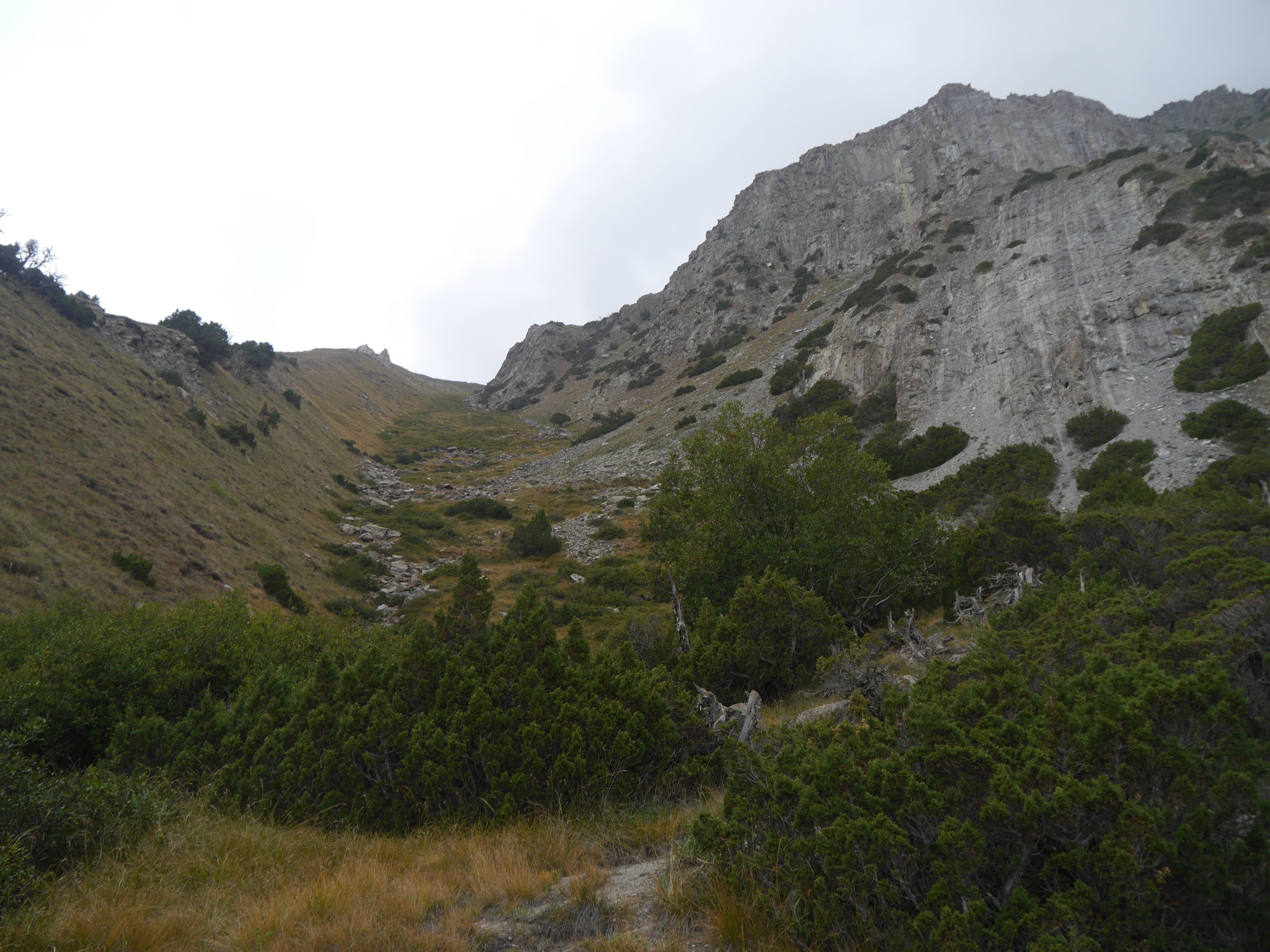
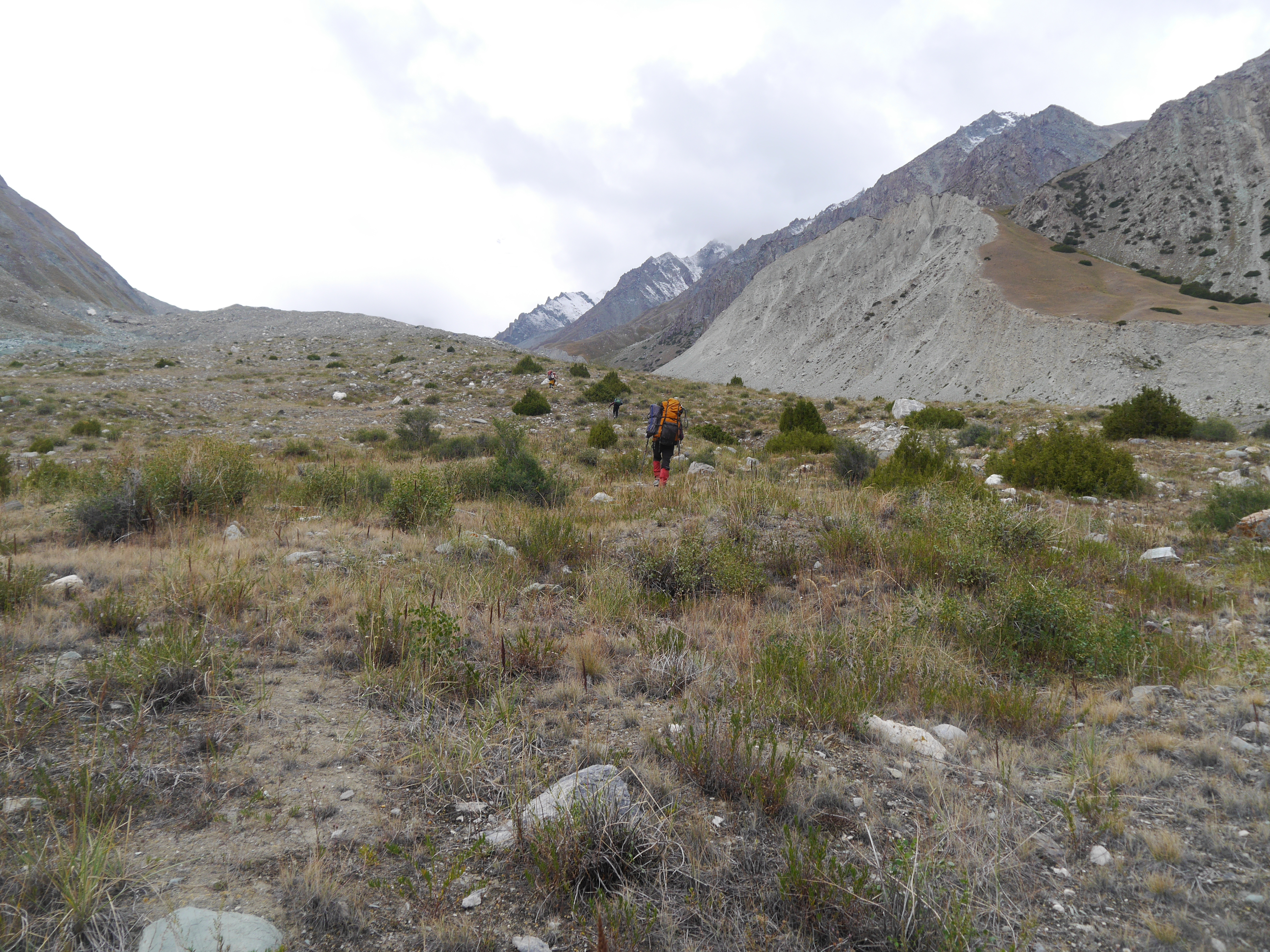
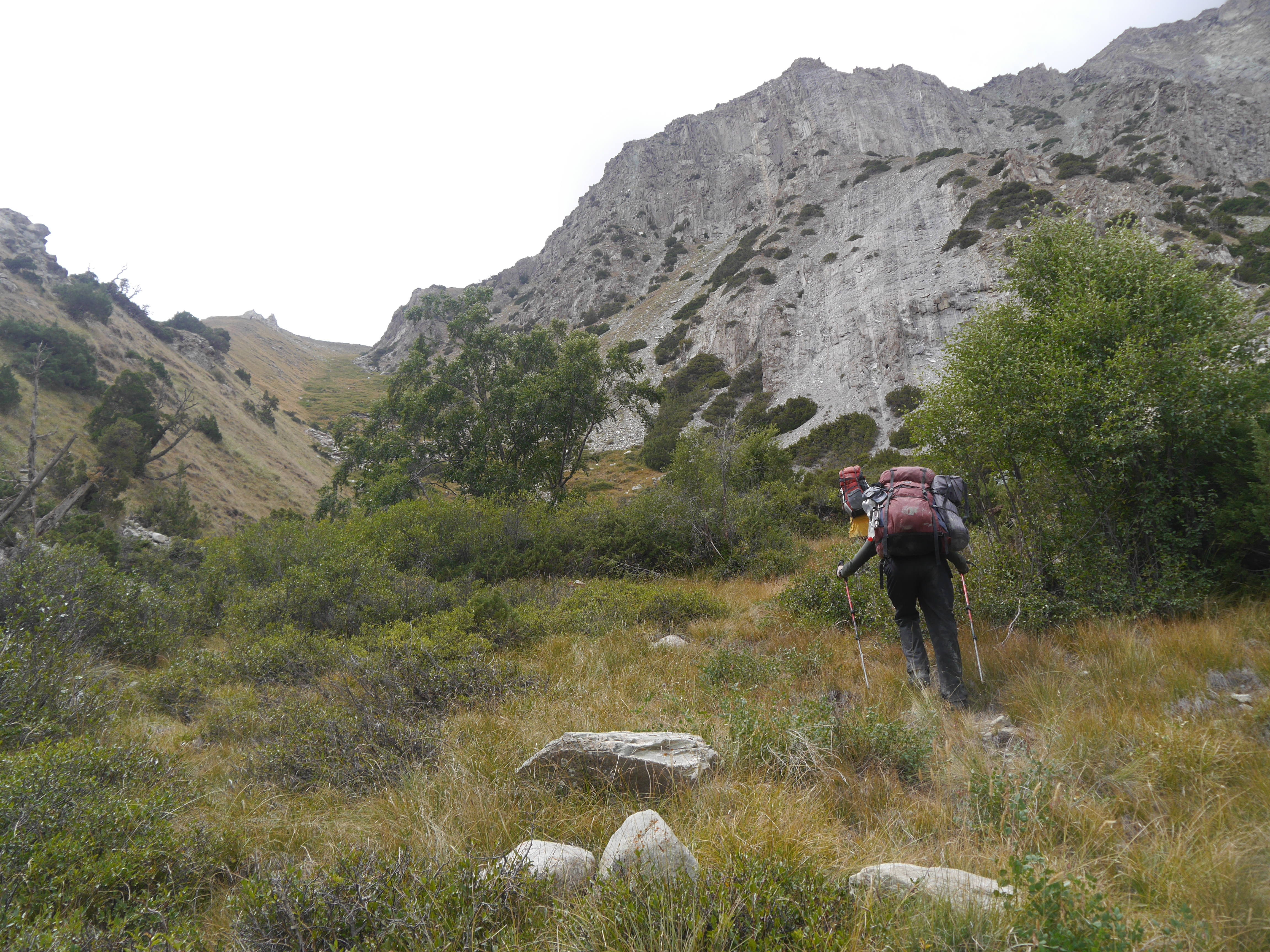
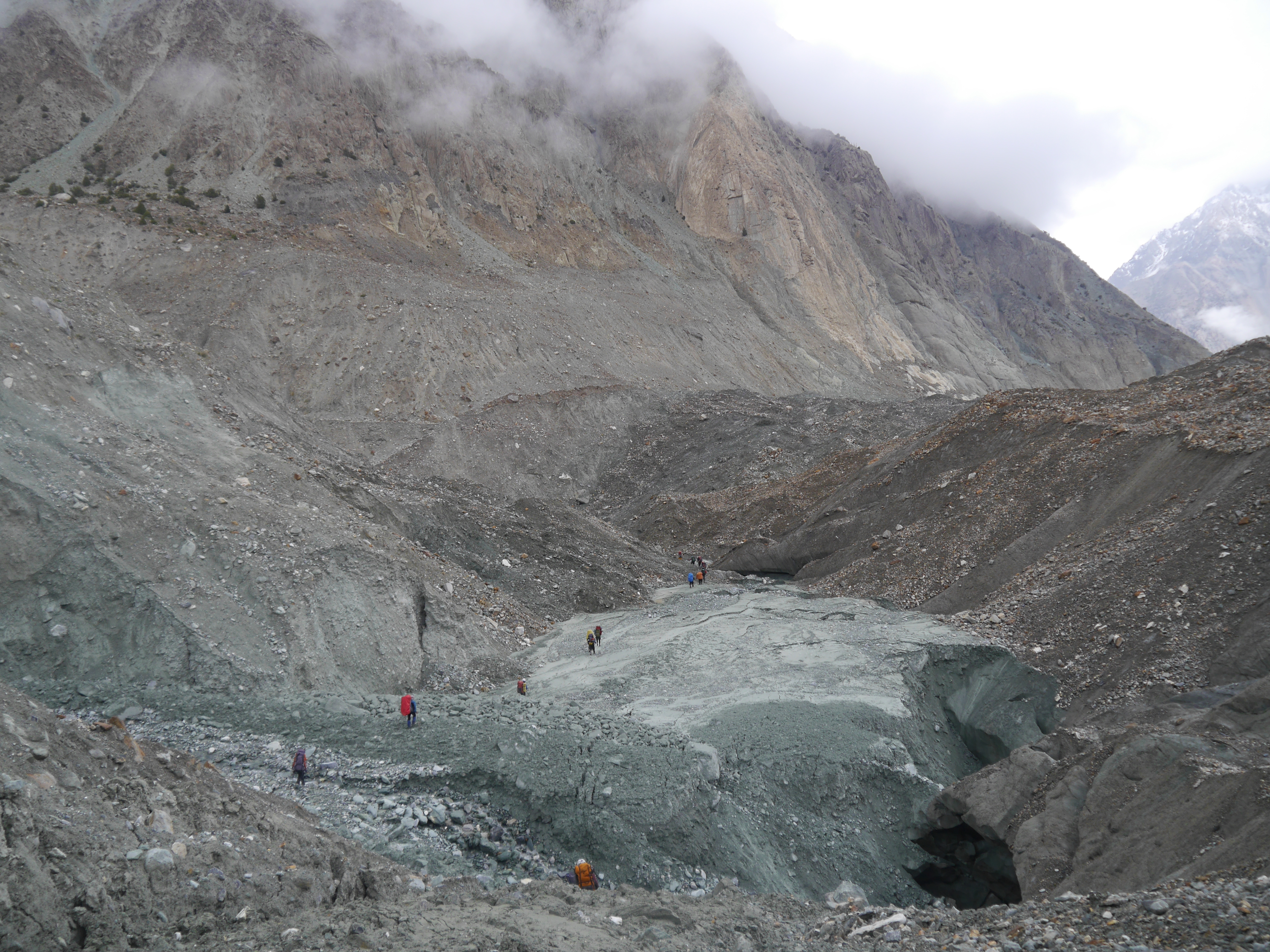
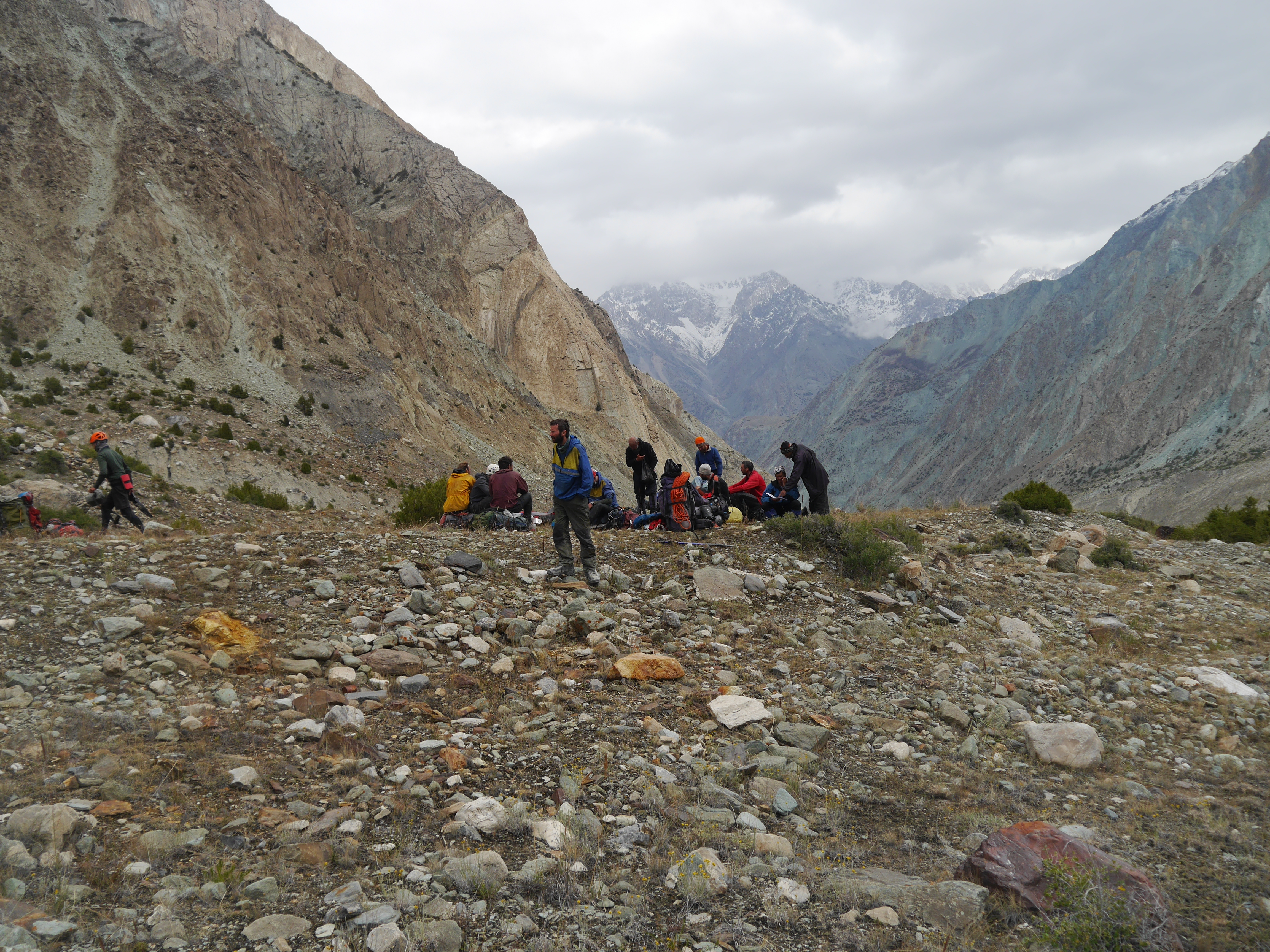
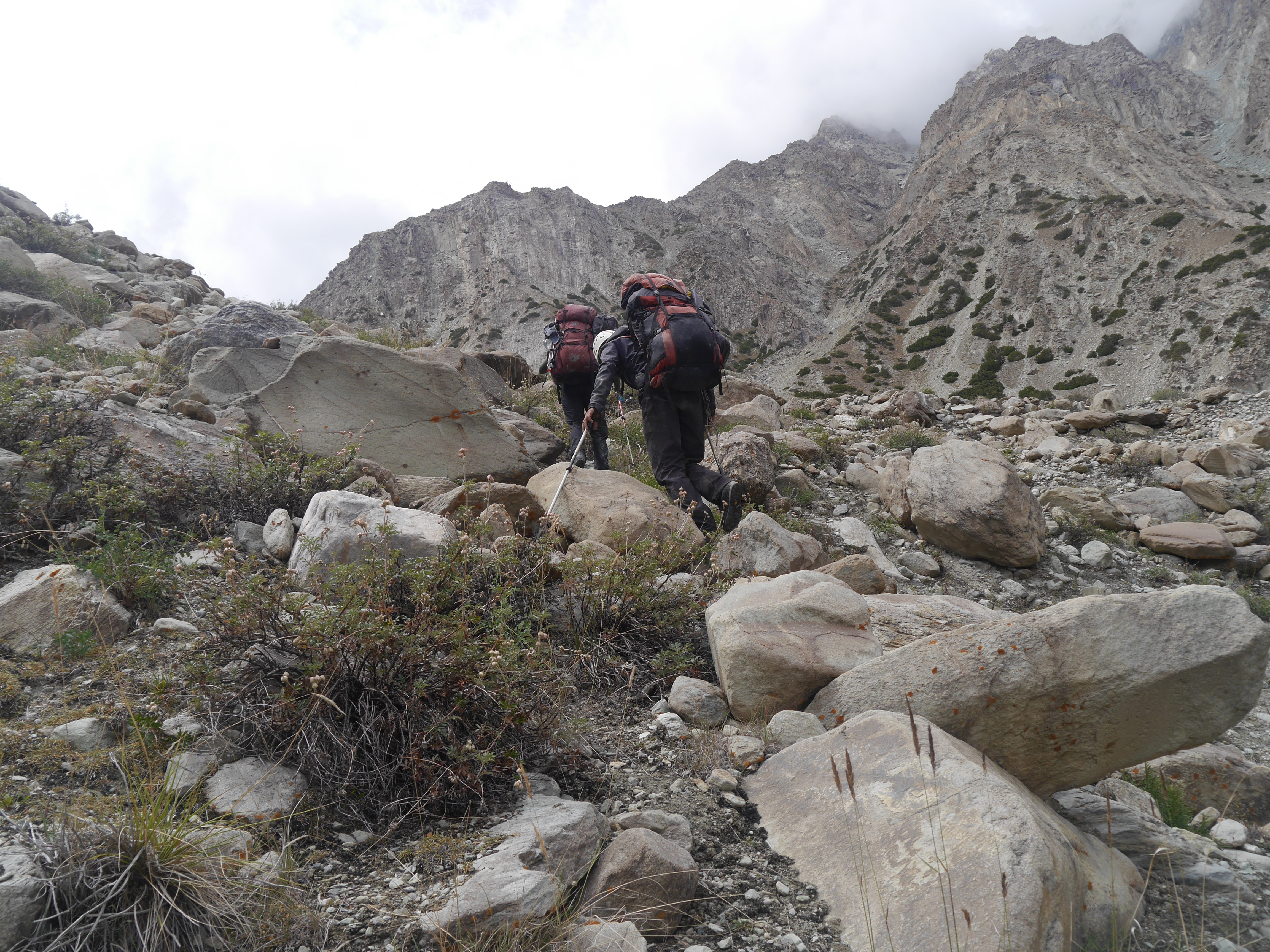
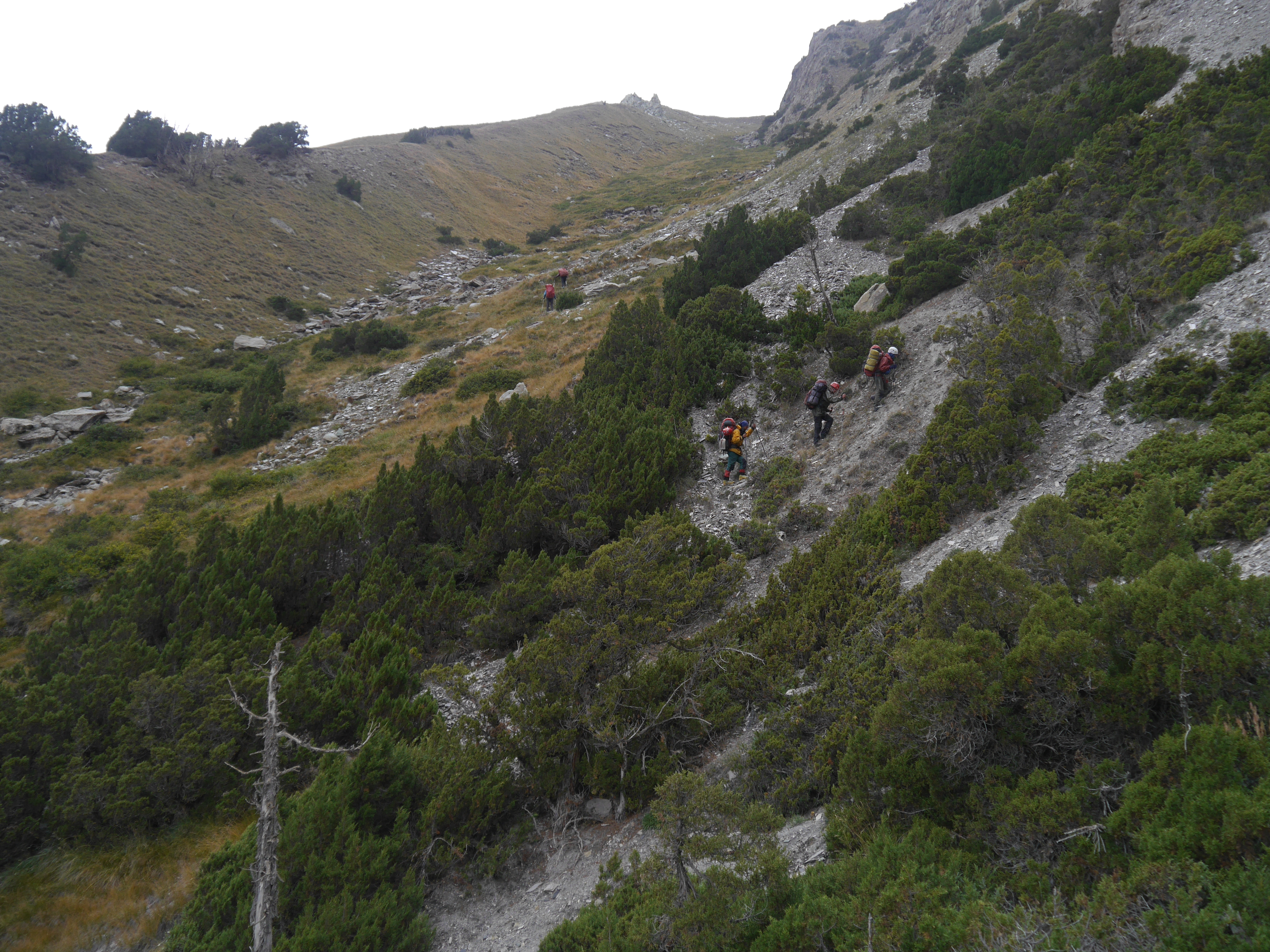
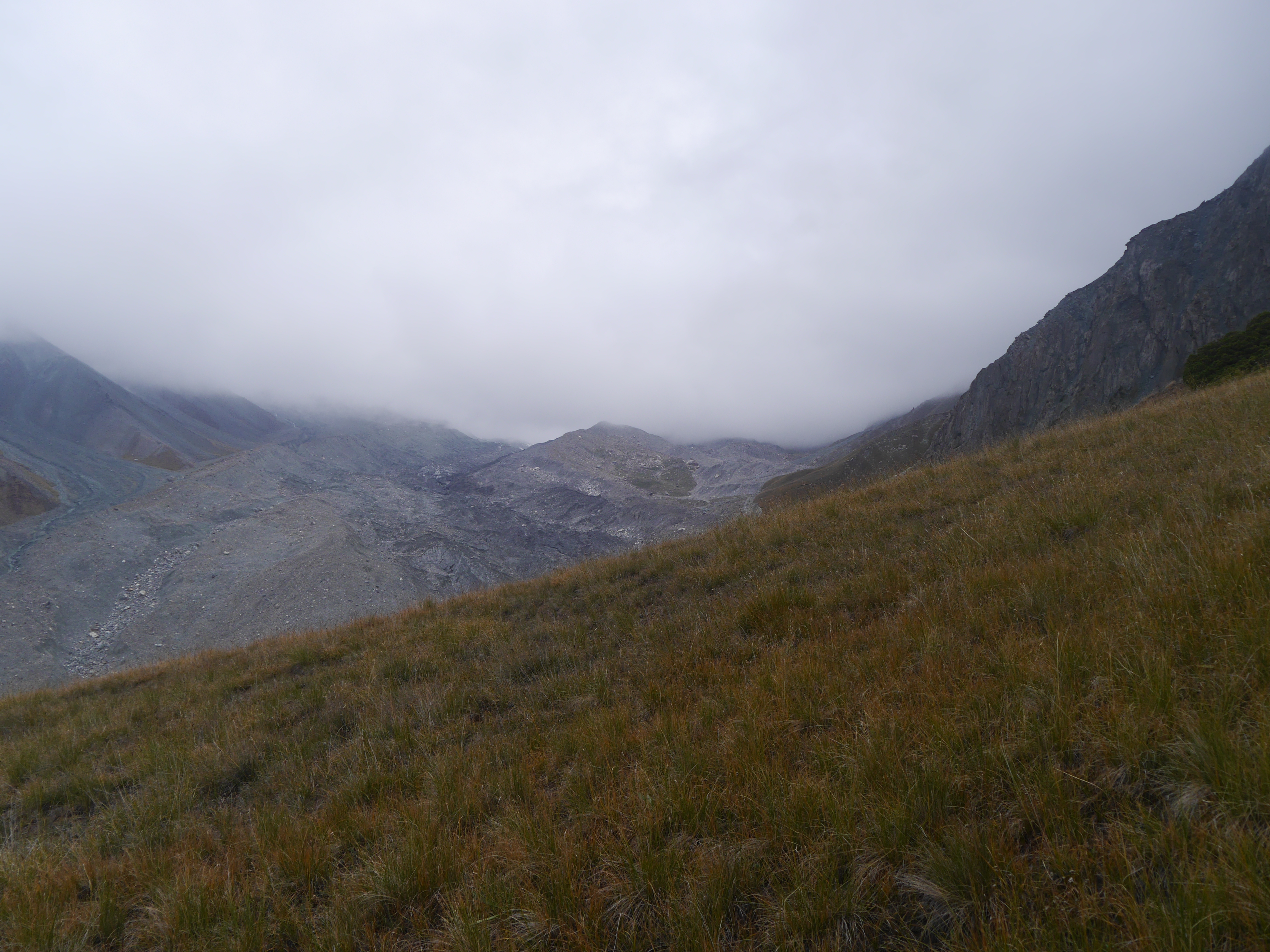
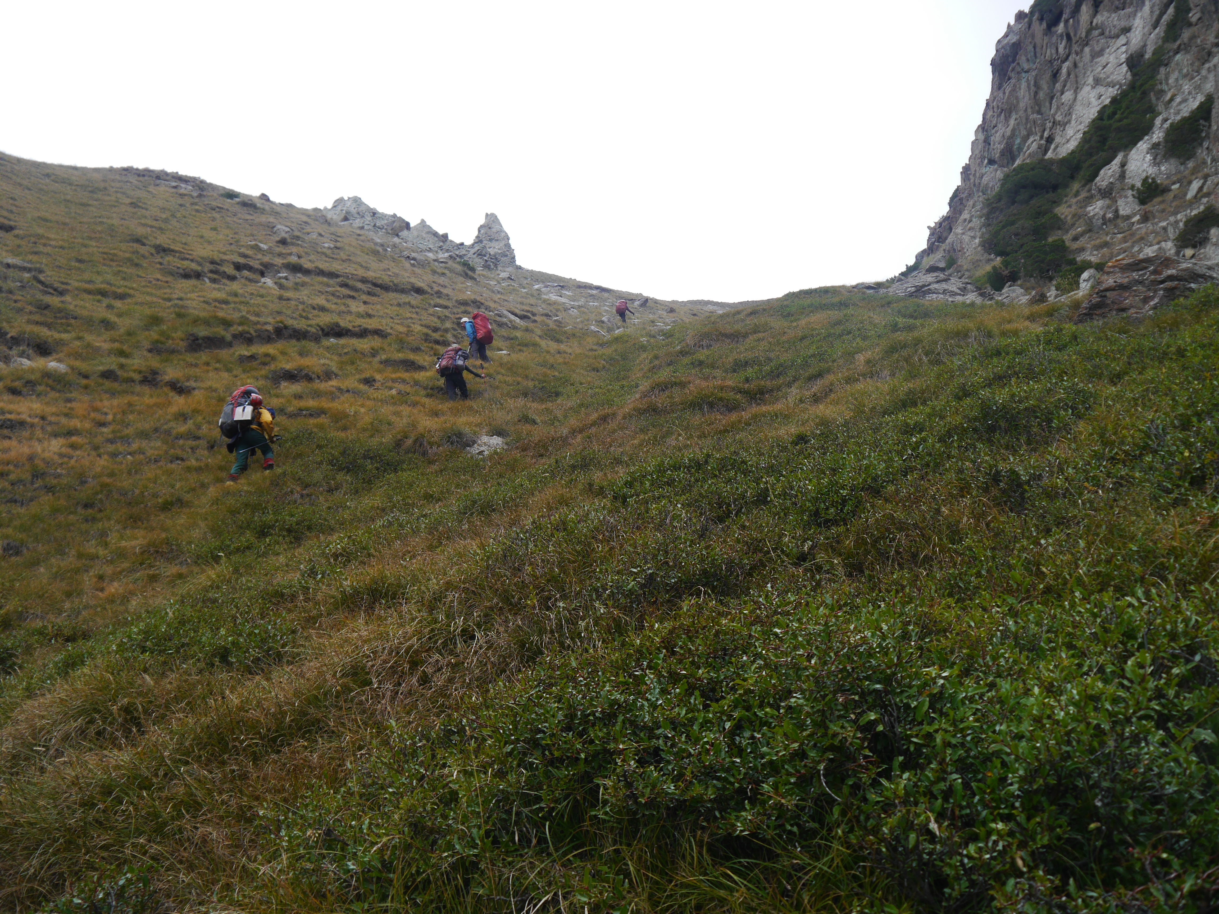
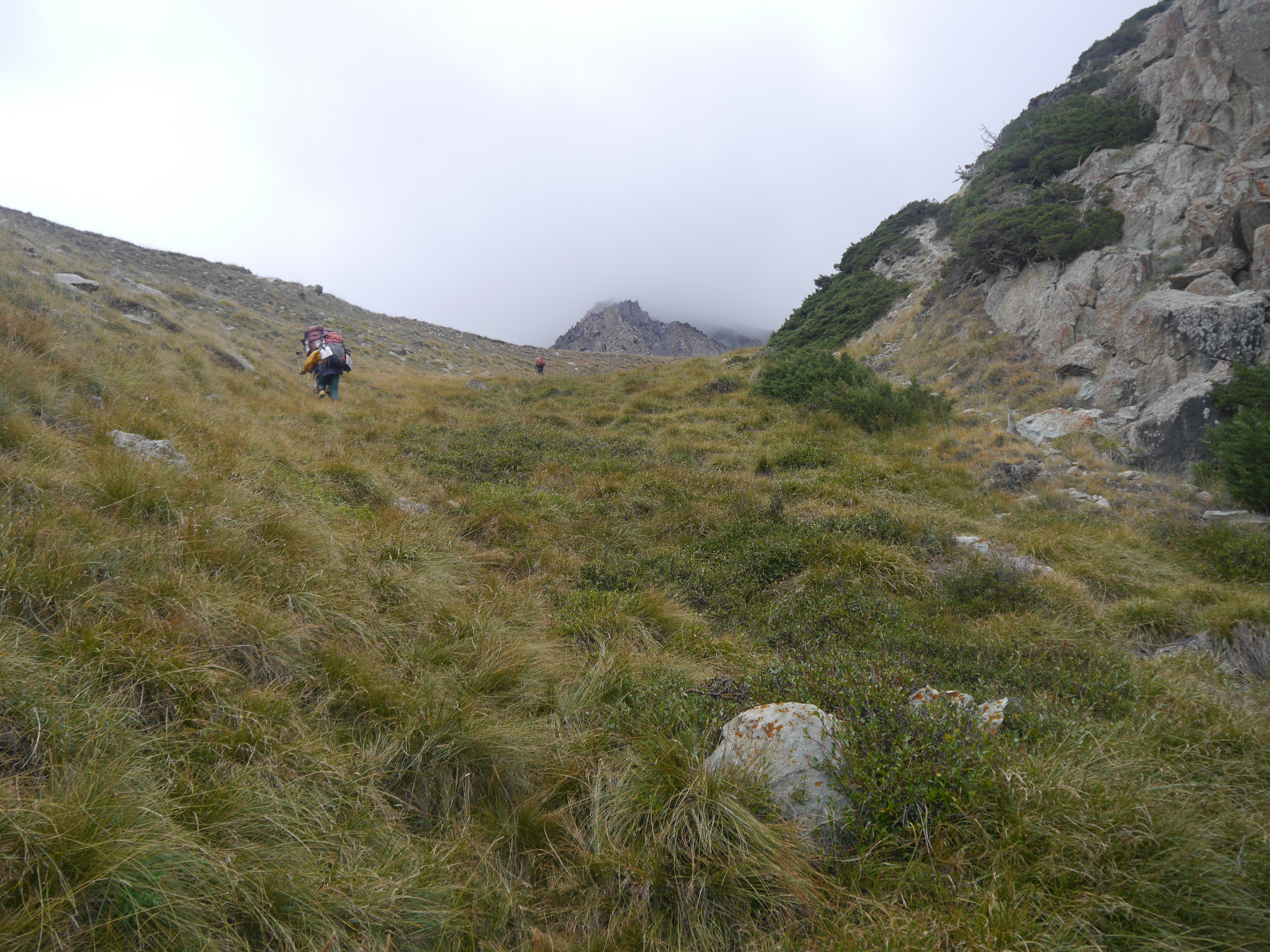
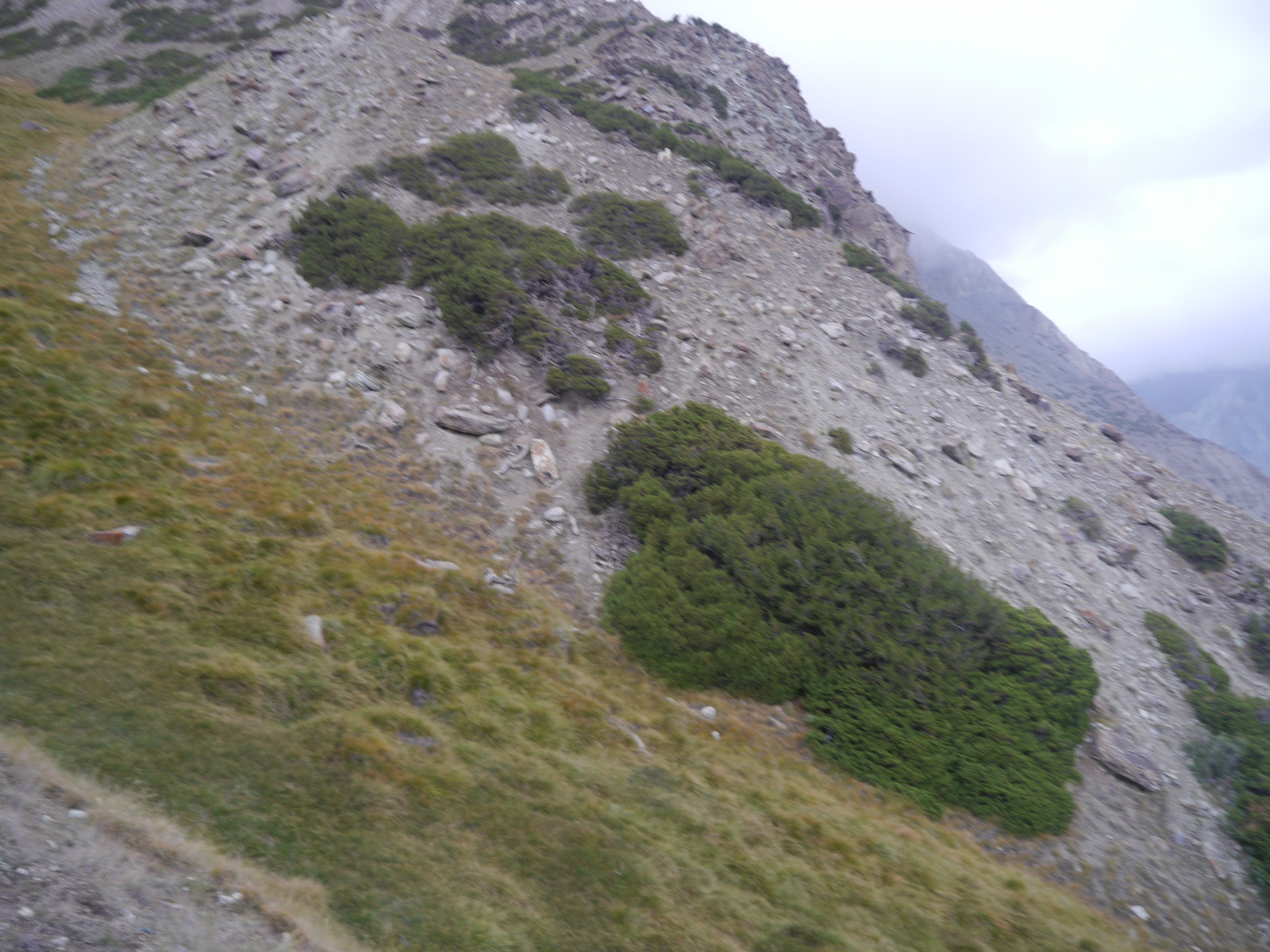
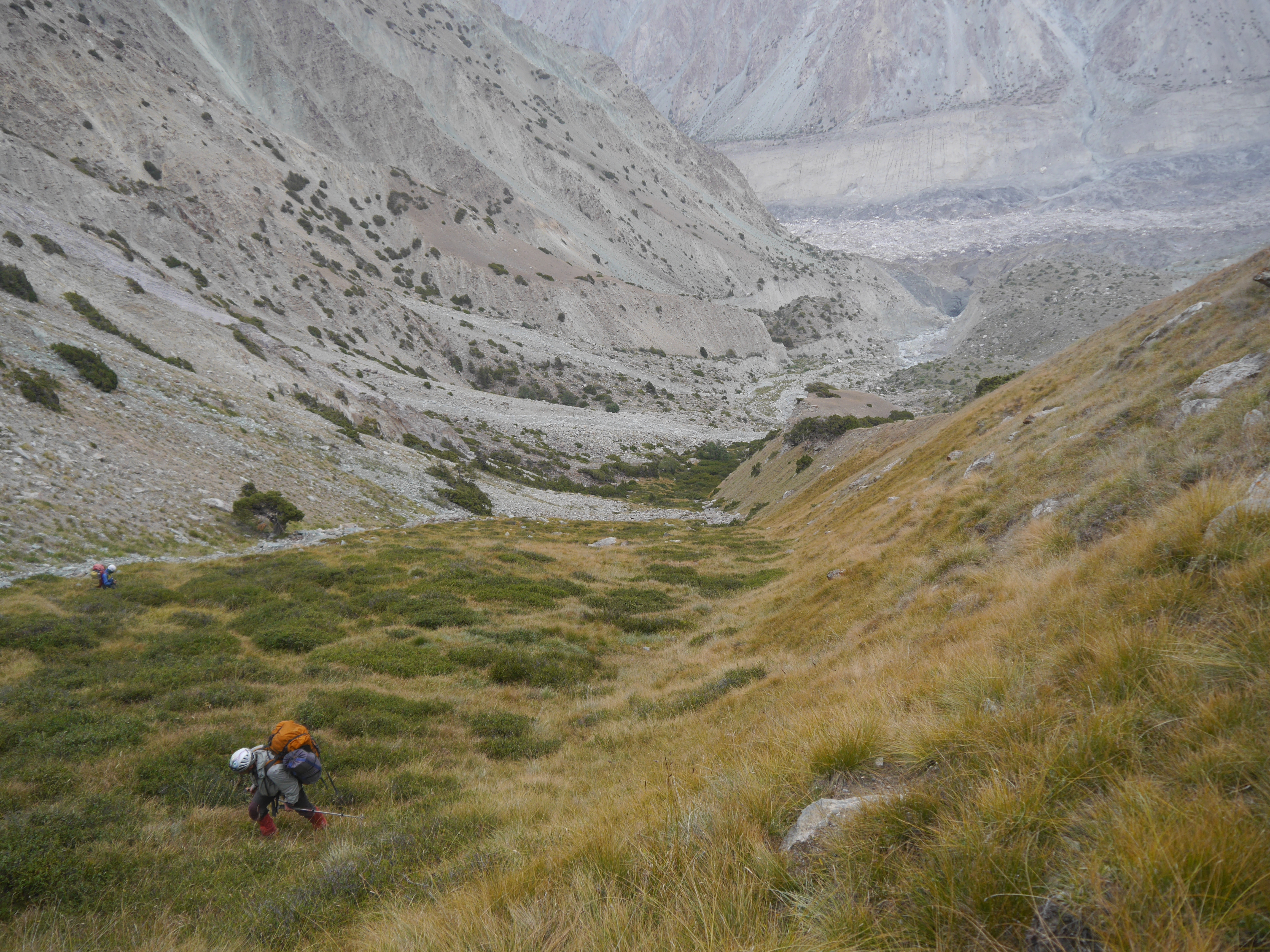
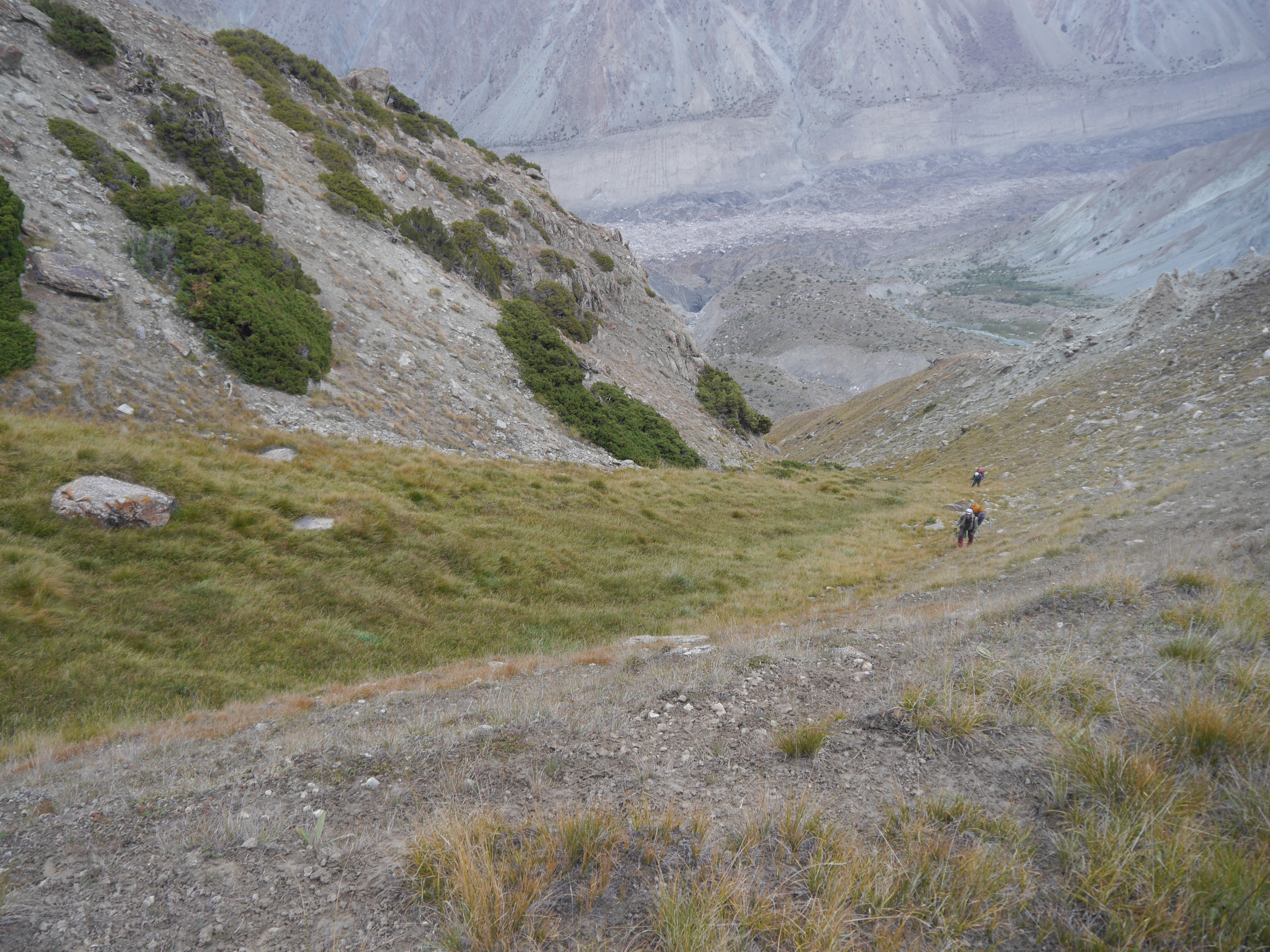
Related Photos:
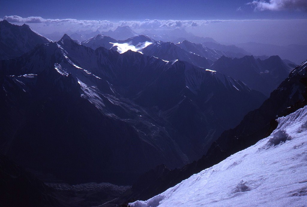
view from stratosphere ;-) to Pik Moscow (left) and the western Pamir Range, seen from the way up to Camp 3 ~6200m at Pik Korzhenevskoy 7105m
2015-08-23 09.06.29
2015-08-23 14.58.56
2015-08-24 09.57.03
2015-08-23 14.20.12
2015-08-23 09.29.53
2015-08-23 14.13.39
2015-08-23 10.34.31
2015-08-23 12.31.54
2015-08-23 09.03.15
2015-08-23 10.02.45
2015-08-23 12.21.32-2

2015-08-23 12.21.32
2015-08-23 14.20.21
2015-08-23 14.58.54-2
2015-08-23 14.43.52
2015-08-23 14.51.30
2015-08-23 14.59.00
2015-08-23 14.46.30
2015-08-23 14.59.02

2015-08-23 14.58.57
Topographic Map of Jirgatol, Tajikistan
Find elevation by address:

Places in Jirgatol, Tajikistan:
Places near Jirgatol, Tajikistan:
Pamir Mountains
Ismoil Somoni Peak
Pik Garmo
Qullai Vudor
Bartang
Lenin Peak
Rushon
Gora Kulin
Gorno-badakhshan Autonomous Province
Recent Searches:
- Elevation of Corso Fratelli Cairoli, 35, Macerata MC, Italy
- Elevation of Tallevast Rd, Sarasota, FL, USA
- Elevation of 4th St E, Sonoma, CA, USA
- Elevation of Black Hollow Rd, Pennsdale, PA, USA
- Elevation of Oakland Ave, Williamsport, PA, USA
- Elevation of Pedrógão Grande, Portugal
- Elevation of Klee Dr, Martinsburg, WV, USA
- Elevation of Via Roma, Pieranica CR, Italy
- Elevation of Tavkvetili Mountain, Georgia
- Elevation of Hartfords Bluff Cir, Mt Pleasant, SC, USA