Elevation of Pico do Fogo, Cape Verde
Location: Cape Verde > Santa Catarina >
Longitude: -24.340433
Latitude: 14.9494002
Elevation: -248m / -814feet
Barometric Pressure: 104KPa
Elevation Map:
Satellite Map:
Related Photos:

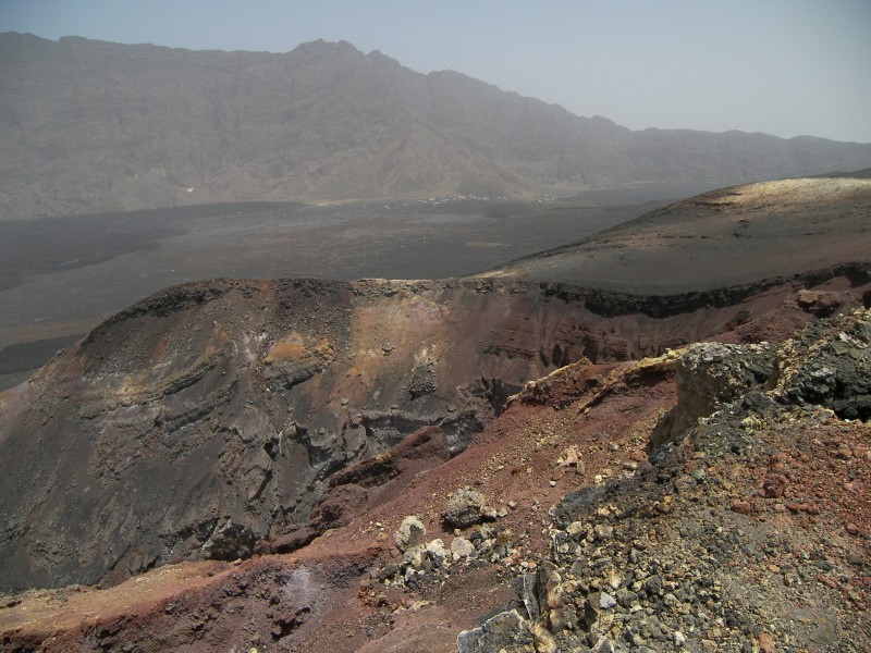
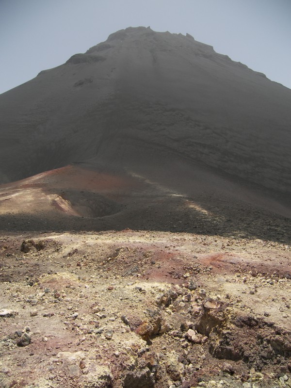
View from Pico do Fogo
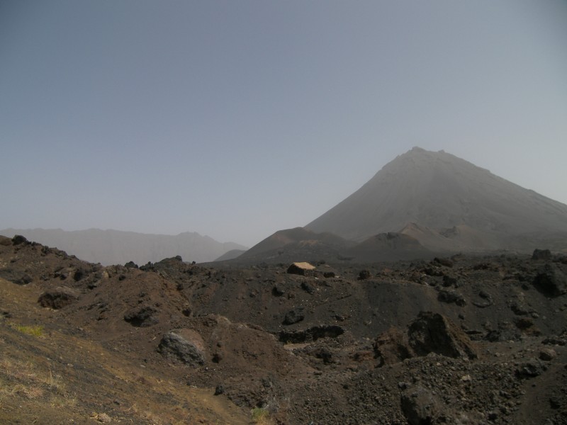
Pico Pequeno
Entering the Caldeira
small Pico, big Pico
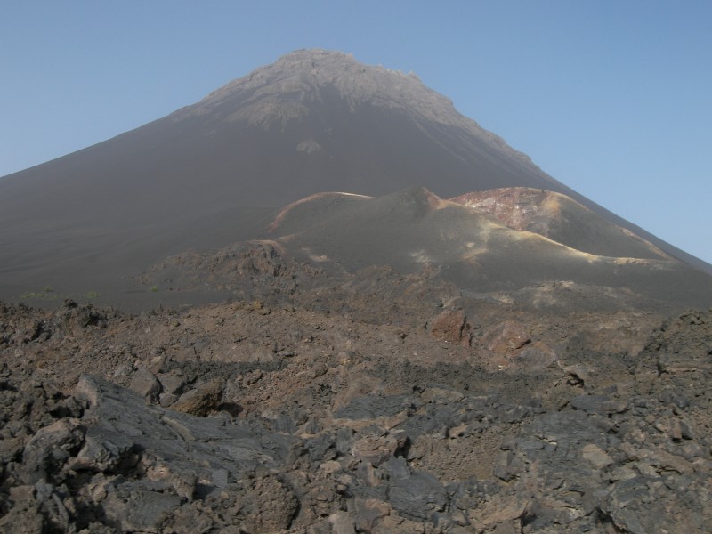
Pico de Fogo (2829m)
Topographic Map of Pico do Fogo, Cape Verde
Find elevation by address:

Places near Pico do Fogo, Cape Verde:
Recent Searches:
- Elevation of Corso Fratelli Cairoli, 35, Macerata MC, Italy
- Elevation of Tallevast Rd, Sarasota, FL, USA
- Elevation of 4th St E, Sonoma, CA, USA
- Elevation of Black Hollow Rd, Pennsdale, PA, USA
- Elevation of Oakland Ave, Williamsport, PA, USA
- Elevation of Pedrógão Grande, Portugal
- Elevation of Klee Dr, Martinsburg, WV, USA
- Elevation of Via Roma, Pieranica CR, Italy
- Elevation of Tavkvetili Mountain, Georgia
- Elevation of Hartfords Bluff Cir, Mt Pleasant, SC, USA