Elevation of Cape Verde
| Latitude | 15.120142 |
|---|---|
| Longitude | -23.6051722 |
| Elevation | 290m / 951feet |
| Barometric Pressure | 979KPa |
Related Photos:
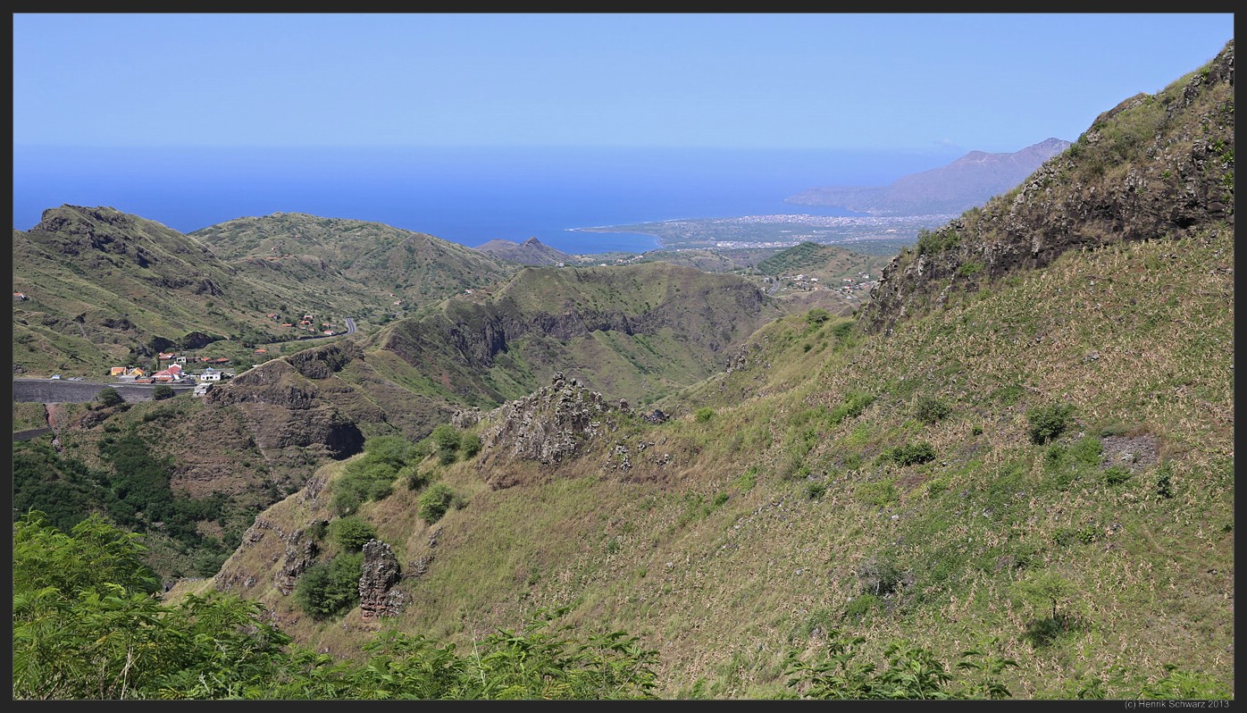
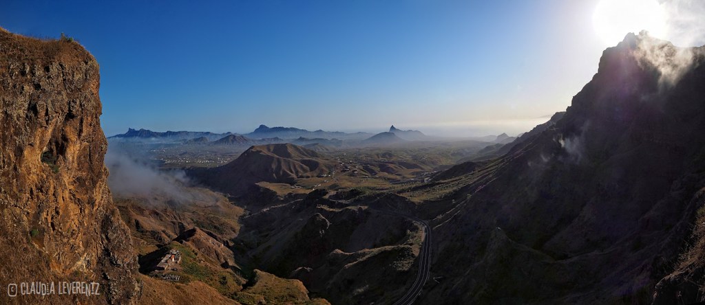
Serra Malagueta, Santiago Island, Cape Verde

Olive oil tin truck #3: Santana, Cape Verde

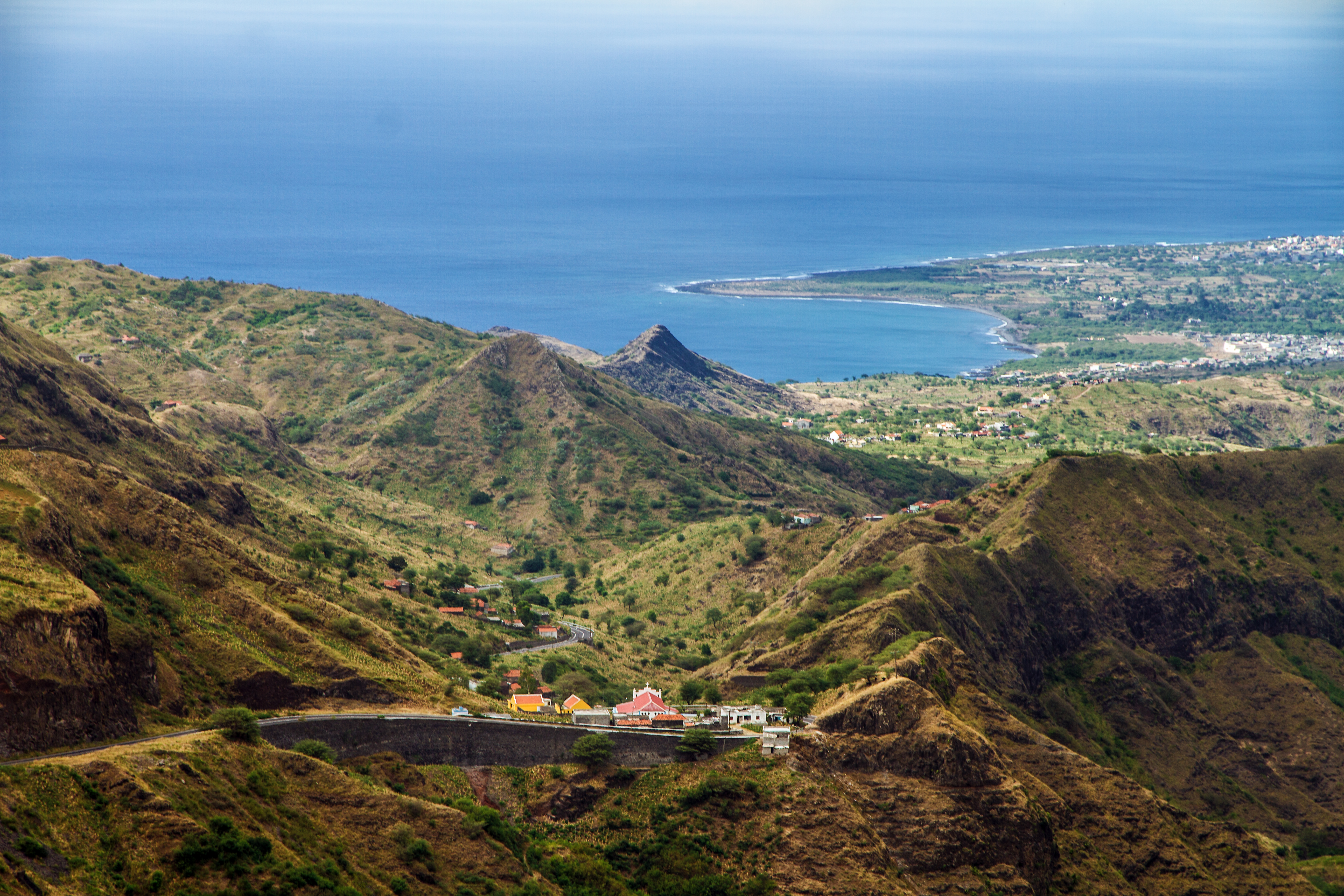
Another view of the Achadinha di Santana
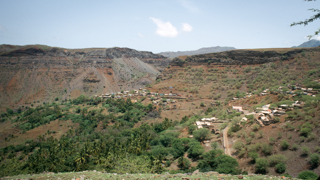
View from Santana toward the ribeira

Santiago Island Interior, Cape Verde
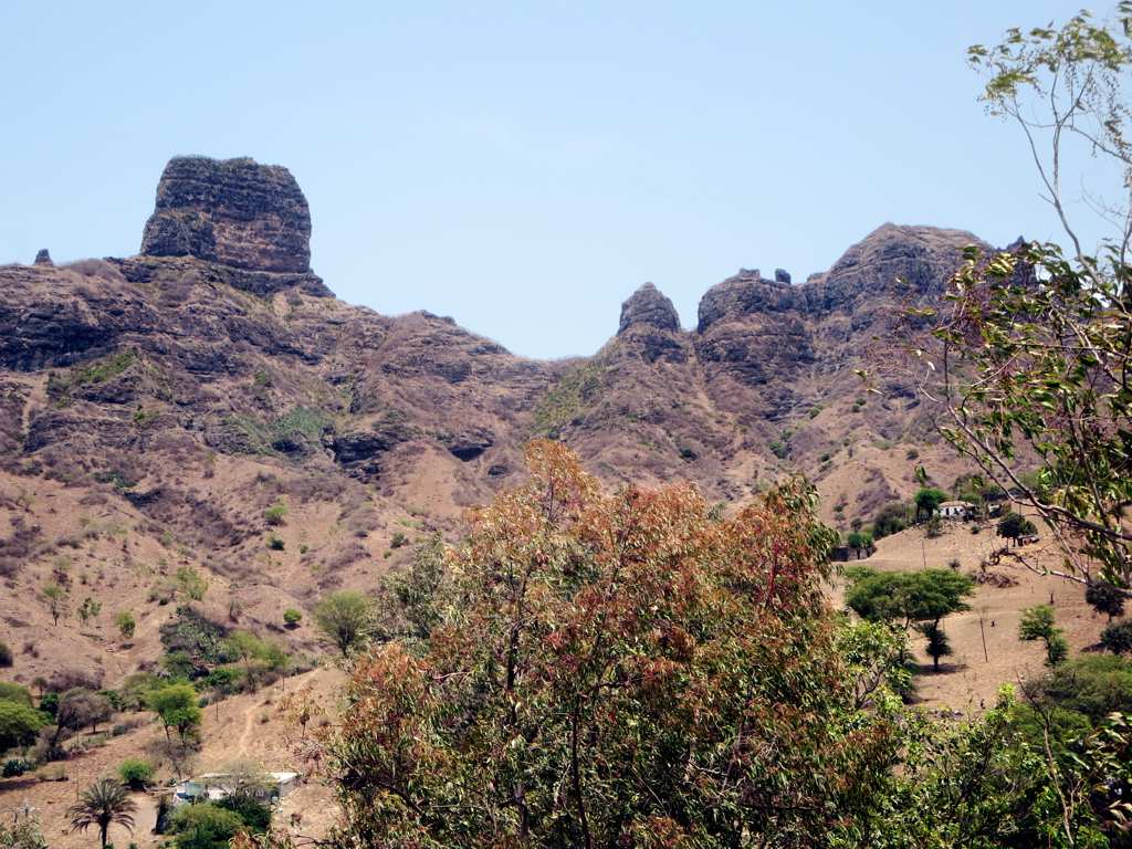
Dramatic Ridge
Cape Verde

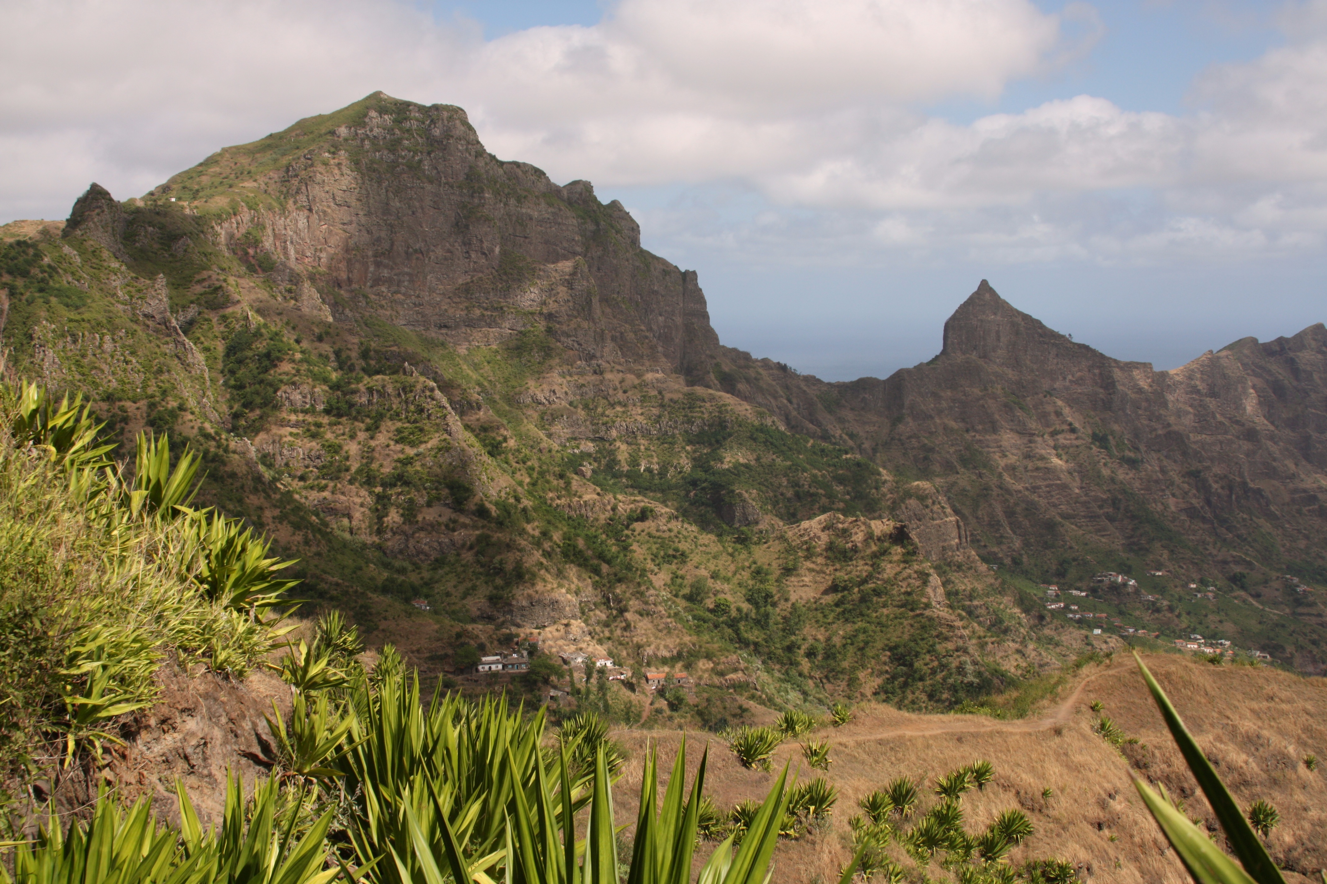
Mountain Scenery
Cabo Verde - Santiago

rua central

boa entrada
vista sobre chão bom

1346 Insel Santiago 01-12-2013 Kopie

1219 Insel Santiago 01-12-2013 Kopie

Landschaft auf dem Weg von Tarrafal nach Assomada

1369 Staudamm de Polião Insel Santiago 01-12-2013 Kopie

1233 Insel Santiago 01-12-2013 Kopie

1349 Insel Santiago 01-12-2013 Kopie

1341 Insel Santiago 01-12-2013 Kopie

1348 Insel Santiago 01-12-2013 Kopie

1252 Insel Santiago 01-12-2013 Kopie

1239 Insel Santiago 01-12-2013 Kopie

1372 Staudamm de Polião Insel Santiago 01-12-2013 Kopie
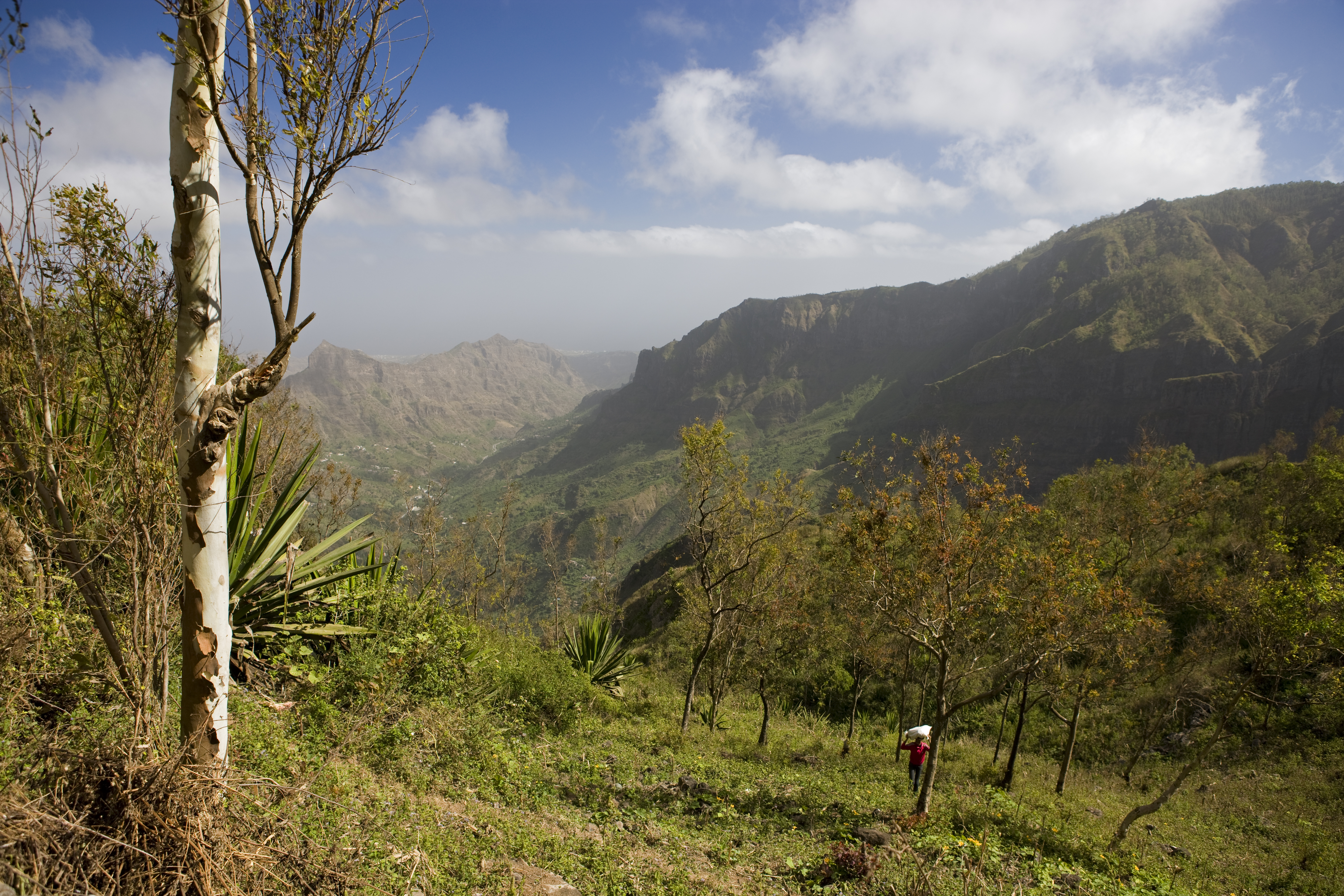
Serra Malagueta National Park
Topographic Map of Cape Verde
Find elevation by address:
Places in Cape Verde:
Places near Cape Verde:
Recent Searches:
- Elevation of 104, Chancery Road, Middletown Township, Bucks County, Pennsylvania, 19047, USA
- Elevation of 1212, Cypress Lane, Dayton, Liberty County, Texas, 77535, USA
- Elevation map of Central Hungary, Hungary
- Elevation map of Pest, Central Hungary, Hungary
- Elevation of Pilisszentkereszt, Pest, Central Hungary, Hungary
- Elevation of Dharamkot Tahsil, Punjab, India
- Elevation of Bhinder Khurd, Dharamkot Tahsil, Punjab, India
- Elevation of 2881, Chabot Drive, San Bruno, San Mateo County, California, 94066, USA
- Elevation of 10370, West 107th Circle, Westminster, Jefferson County, Colorado, 80021, USA
- Elevation of 611, Roman Road, Old Ford, Bow, London, England, E3 2RW, United Kingdom
- Elevation of 116, Beartown Road, Underhill, Chittenden County, Vermont, 05489, USA
- Elevation of Window Rock, Colfax County, New Mexico, 87714, USA
- Elevation of 4807, Rosecroft Street, Kempsville Gardens, Virginia Beach, Virginia, 23464, USA
- Elevation map of Matawinie, Quebec, Canada
- Elevation of Sainte-Émélie-de-l'Énergie, Matawinie, Quebec, Canada
- Elevation of Rue du Pont, Sainte-Émélie-de-l'Énergie, Matawinie, Quebec, J0K2K0, Canada
- Elevation of 8, Rue de Bécancour, Blainville, Thérèse-De Blainville, Quebec, J7B1N2, Canada
- Elevation of Wilmot Court North, 163, University Avenue West, Northdale, Waterloo, Region of Waterloo, Ontario, N2L6B6, Canada
- Elevation map of Panamá Province, Panama
- Elevation of Balboa, Panamá Province, Panama