Elevation of Phultala Upazila, Bangladesh
Location: Bangladesh > Khulna Division > Khulna District >
Longitude: 89.445851
Latitude: 22.9406641
Elevation: 4m / 13feet
Barometric Pressure: 0KPa
Related Photos:
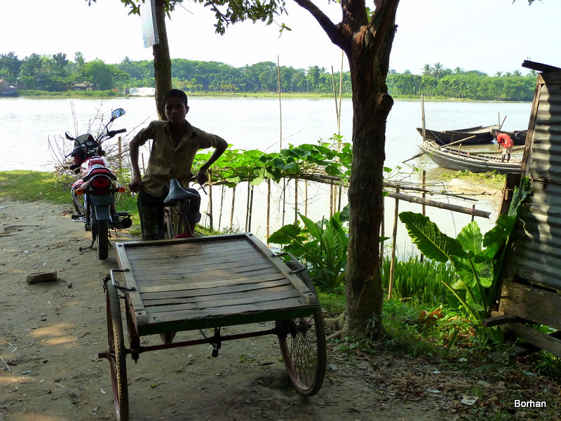
boy with his ride
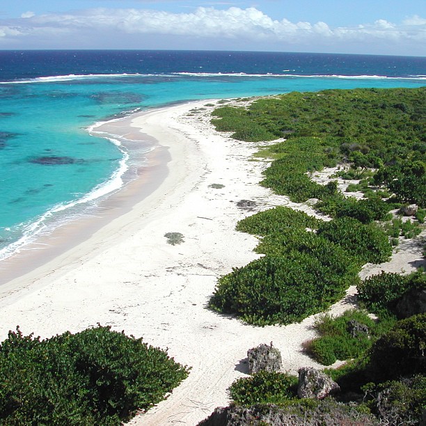
Who want to go this place ?
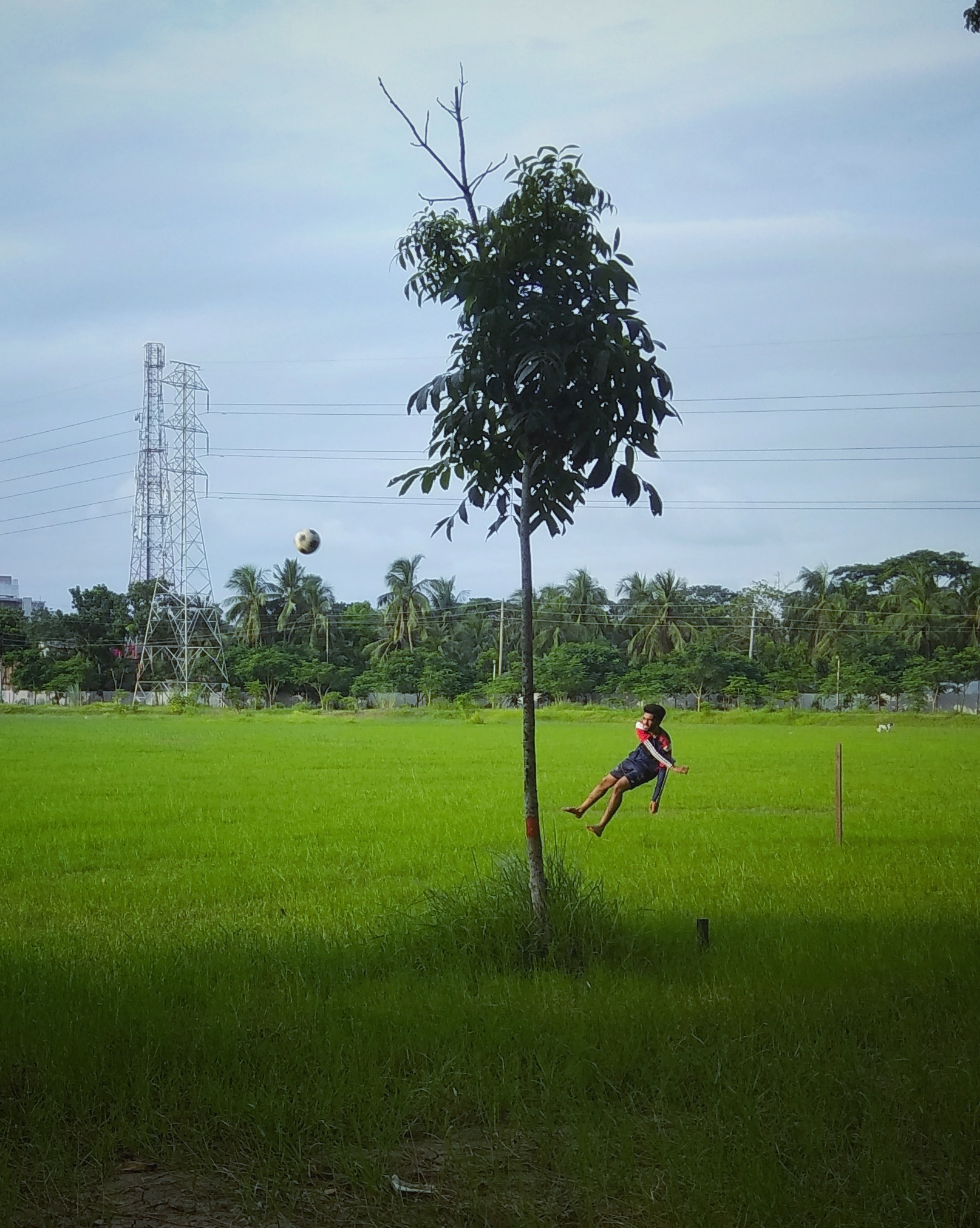
IMG_20180824_171927_1-01
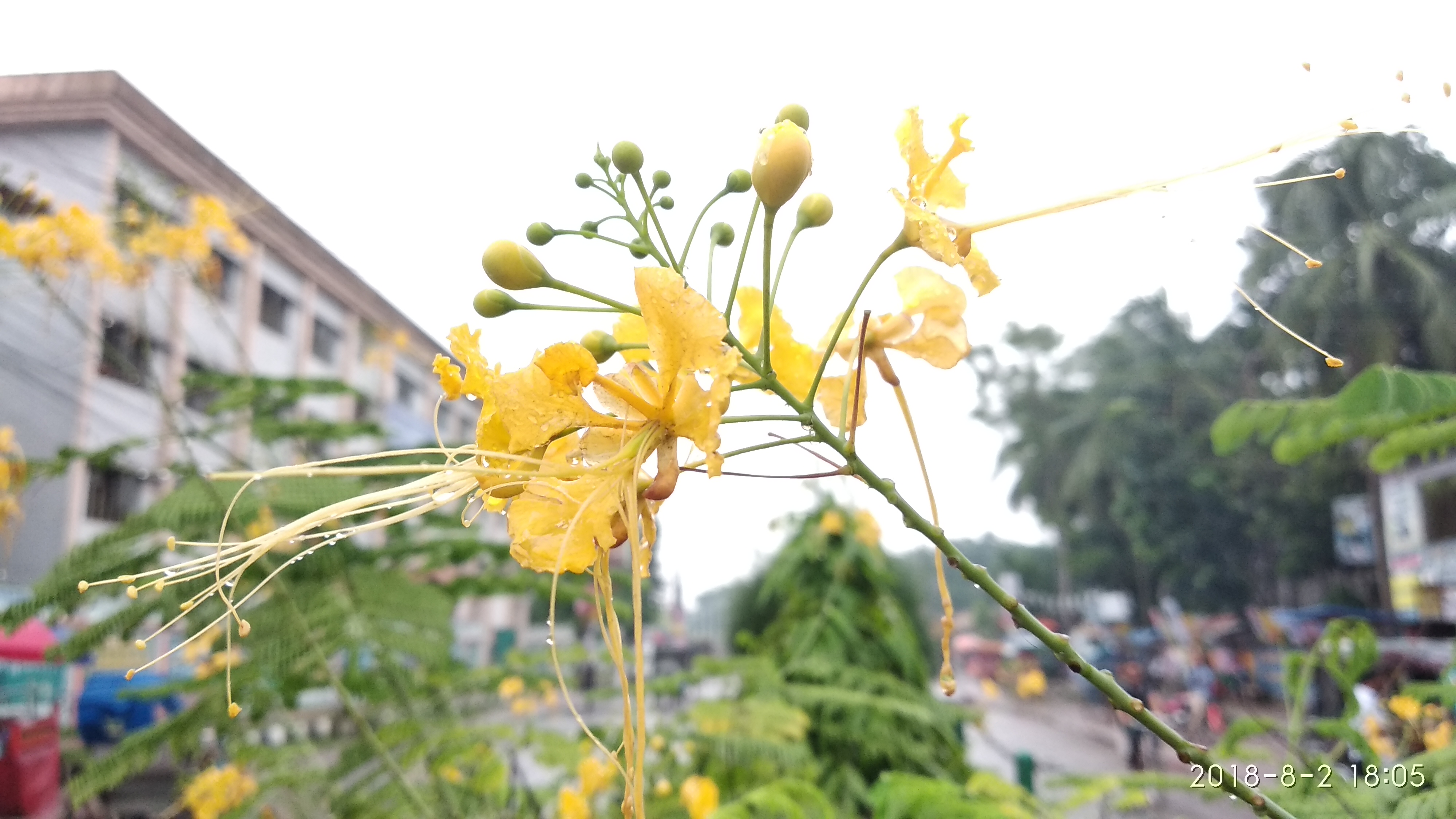
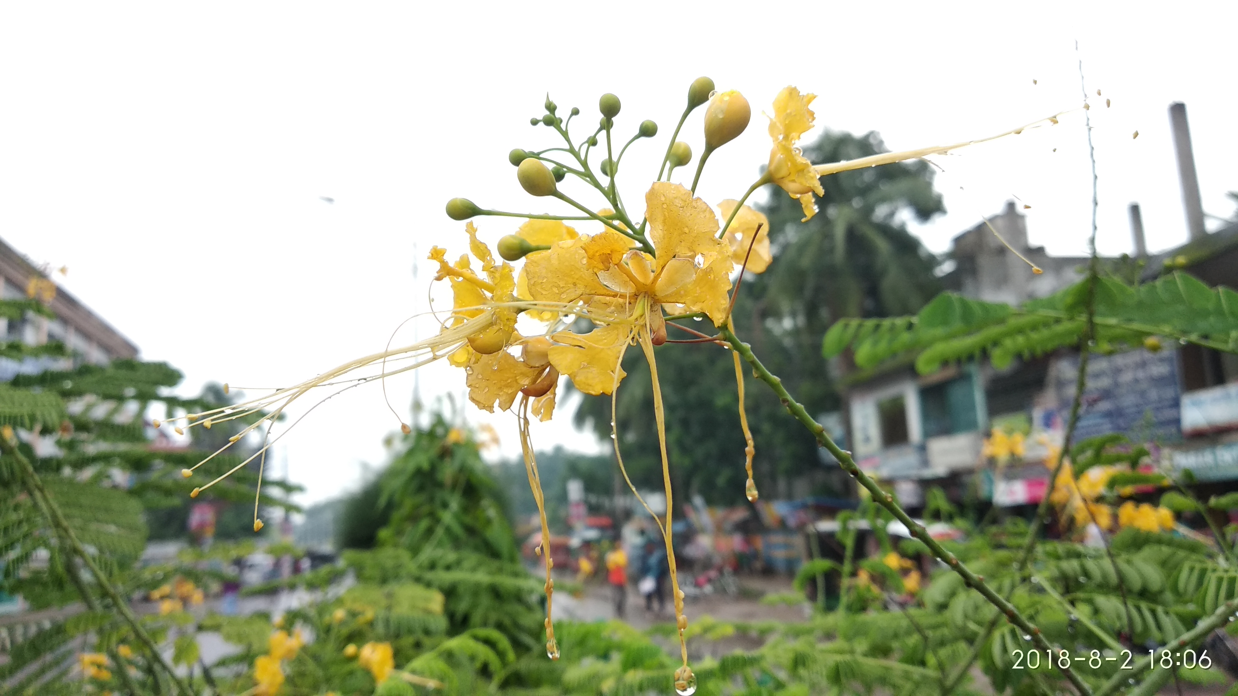
Nature before the eyes of a lunatic
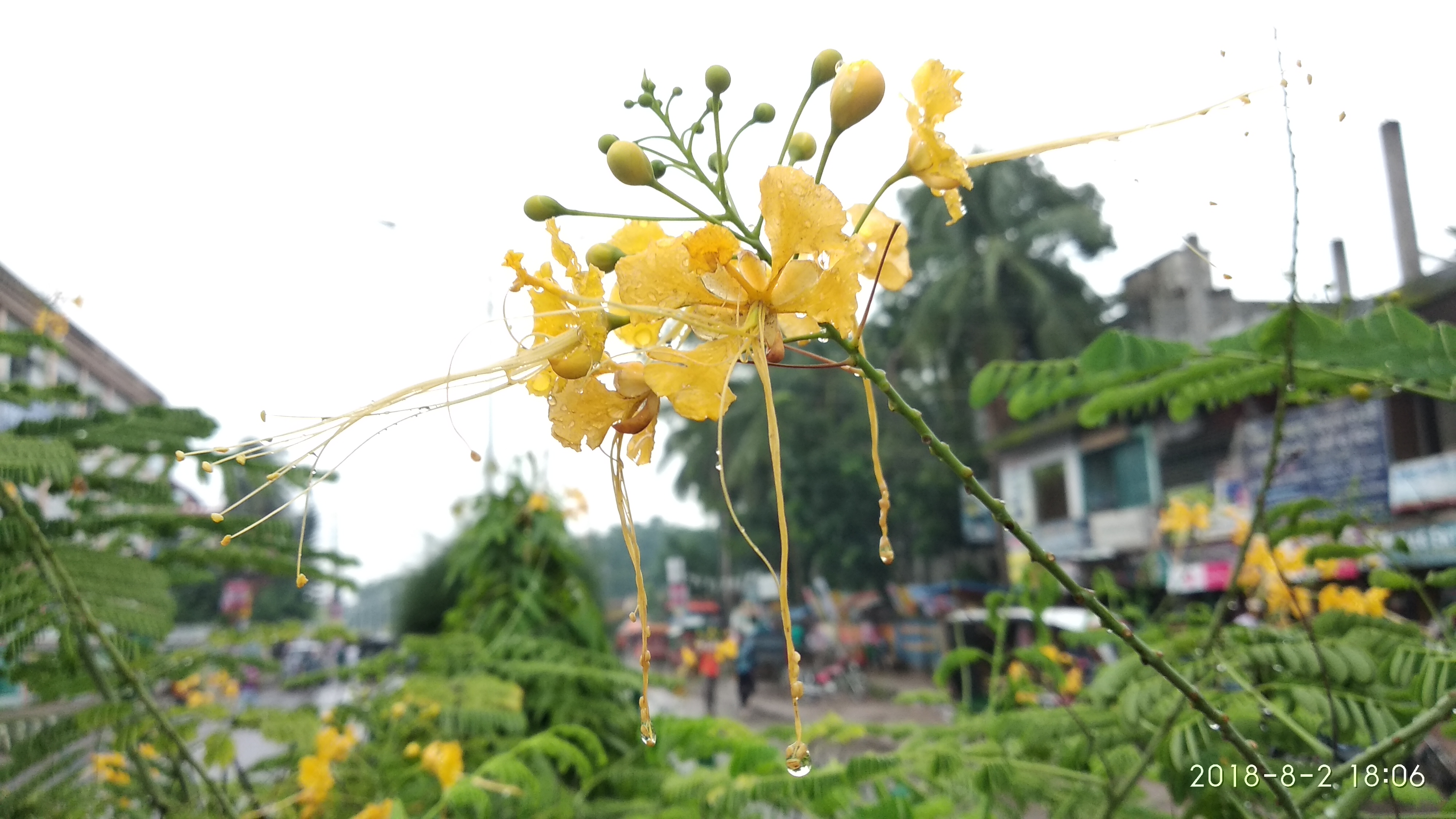
Nature before the eyes of a lunatic
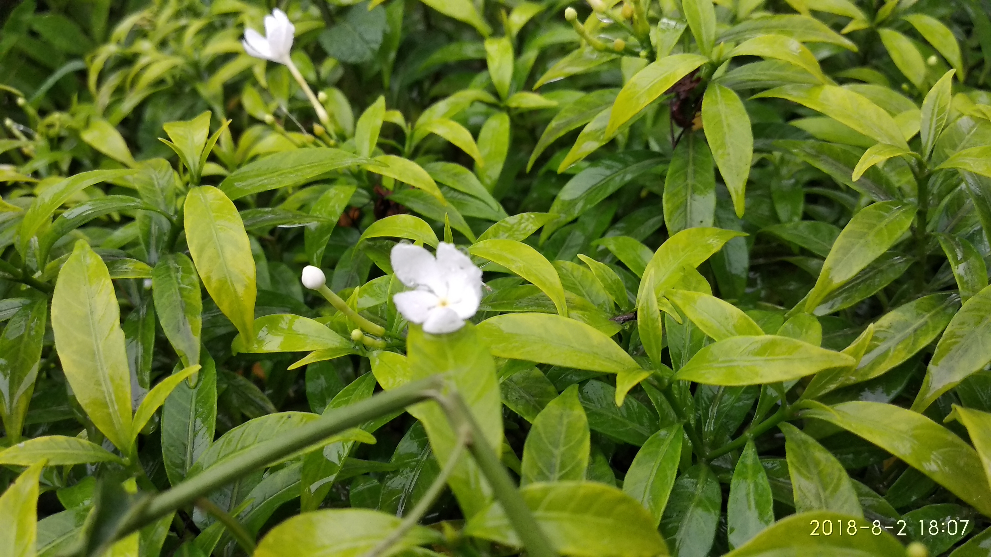
Nature before the eyes of a lunatic
Nature before the eyes of a lunatic
Topographic Map of Phultala Upazila, Bangladesh
Find elevation by address:

Places near Phultala Upazila, Bangladesh:
Arongghata Railway Station
Dighalia Upazila
Arongghata
Digholia Upazila Health Complex, Khulna
Daulatpur
Khulna
Krishna Nagar
Khulna University
Sher-e-bangla Road
Khulna City
Lakshipur
Khulna City Bypass
Batiaghata Bazar
Hantalbunia
Batiaghata Upazila
Narail District
Khulna Division
Khulna District
Jessore
Dacope
Recent Searches:
- Elevation map of Greenland, Greenland
- Elevation of Sullivan Hill, New York, New York, 10002, USA
- Elevation of Morehead Road, Withrow Downs, Charlotte, Mecklenburg County, North Carolina, 28262, USA
- Elevation of 2800, Morehead Road, Withrow Downs, Charlotte, Mecklenburg County, North Carolina, 28262, USA
- Elevation of Yangbi Yi Autonomous County, Yunnan, China
- Elevation of Pingpo, Yangbi Yi Autonomous County, Yunnan, China
- Elevation of Mount Malong, Pingpo, Yangbi Yi Autonomous County, Yunnan, China
- Elevation map of Yongping County, Yunnan, China
- Elevation of North 8th Street, Palatka, Putnam County, Florida, 32177, USA
- Elevation of 107, Big Apple Road, East Palatka, Putnam County, Florida, 32131, USA
- Elevation of Jiezi, Chongzhou City, Sichuan, China
- Elevation of Chongzhou City, Sichuan, China
- Elevation of Huaiyuan, Chongzhou City, Sichuan, China
- Elevation of Qingxia, Chengdu, Sichuan, China
- Elevation of Corso Fratelli Cairoli, 35, Macerata MC, Italy
- Elevation of Tallevast Rd, Sarasota, FL, USA
- Elevation of 4th St E, Sonoma, CA, USA
- Elevation of Black Hollow Rd, Pennsdale, PA, USA
- Elevation of Oakland Ave, Williamsport, PA, USA
- Elevation of Pedrógão Grande, Portugal