Elevation of Phillips, ME, USA
Location: United States > Maine > Franklin County > Phillips >
Longitude: -70.383740
Latitude: 44.8619905
Elevation: 252m / 827feet
Barometric Pressure: 98KPa
Elevation Map:
Satellite Map:
Related Photos:
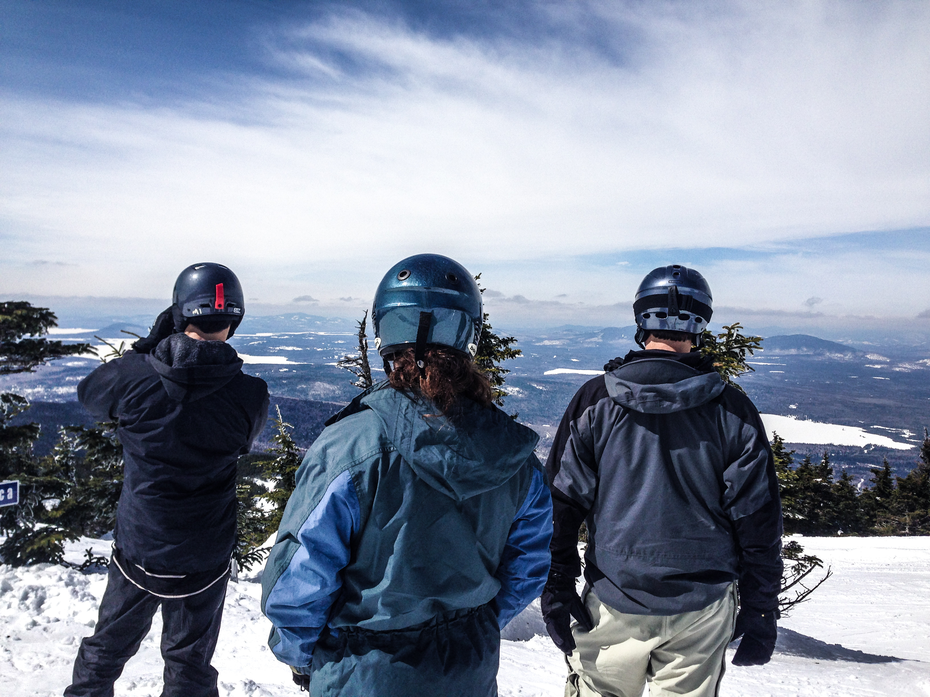
Checking the View
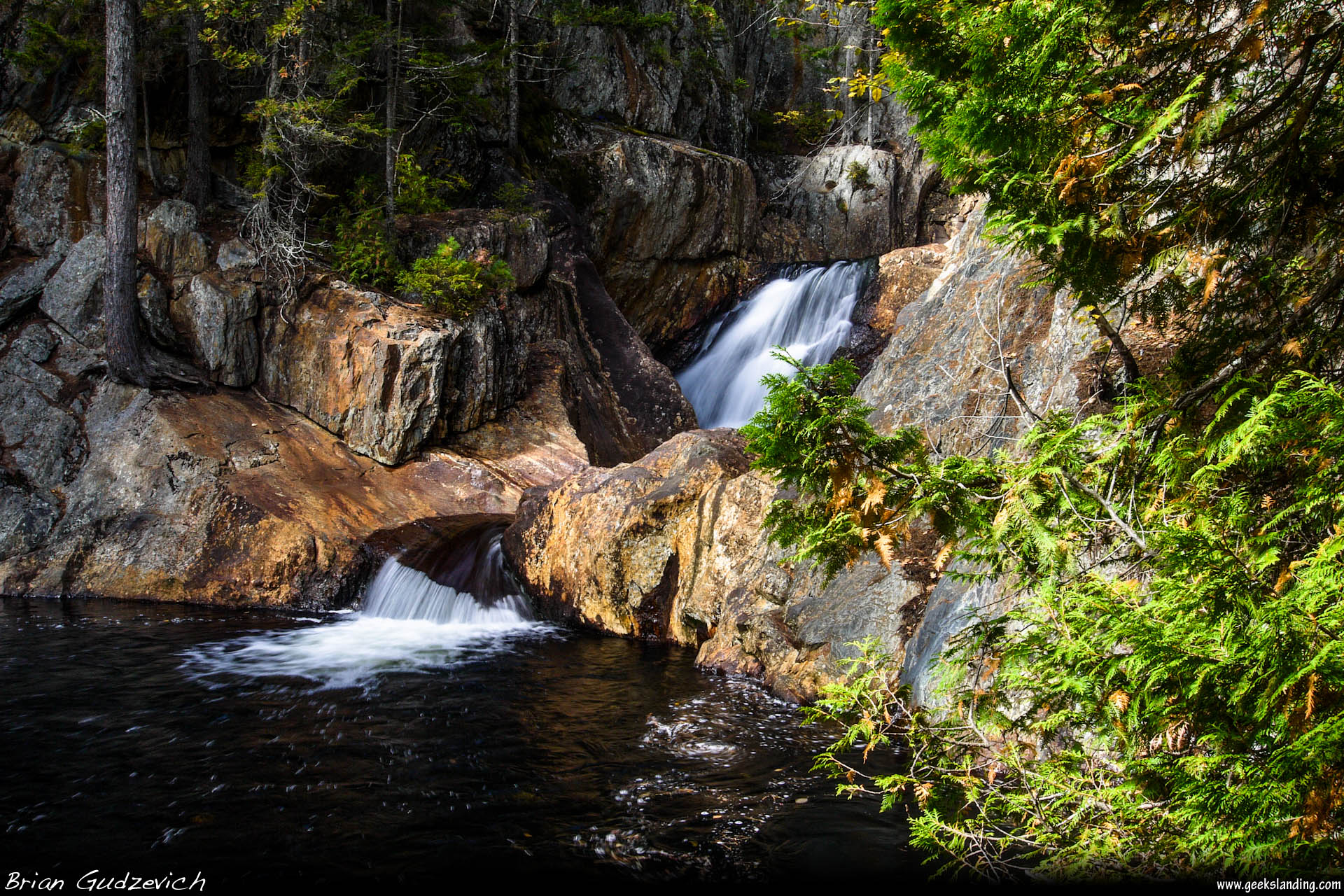
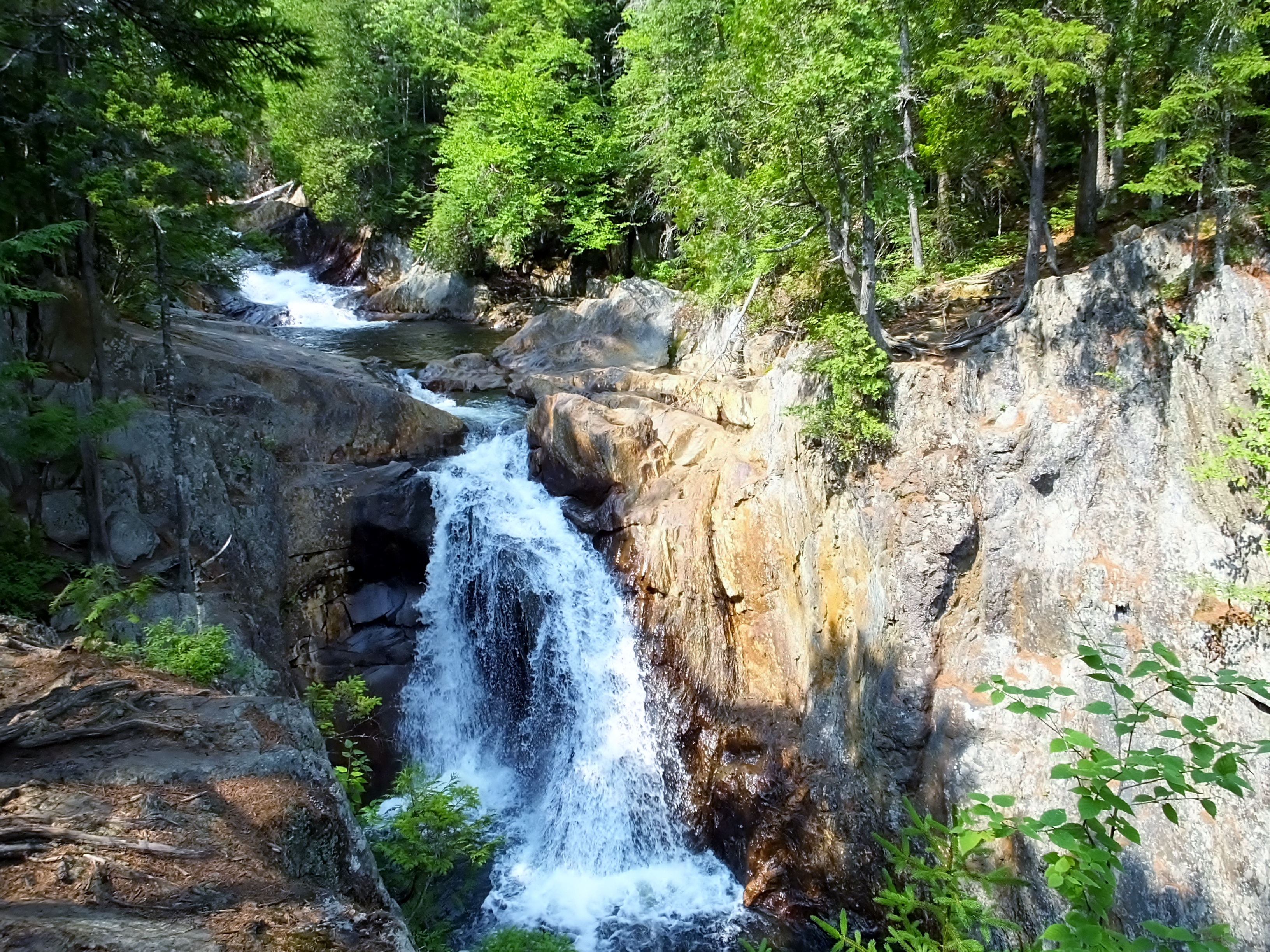
More Small's Falls
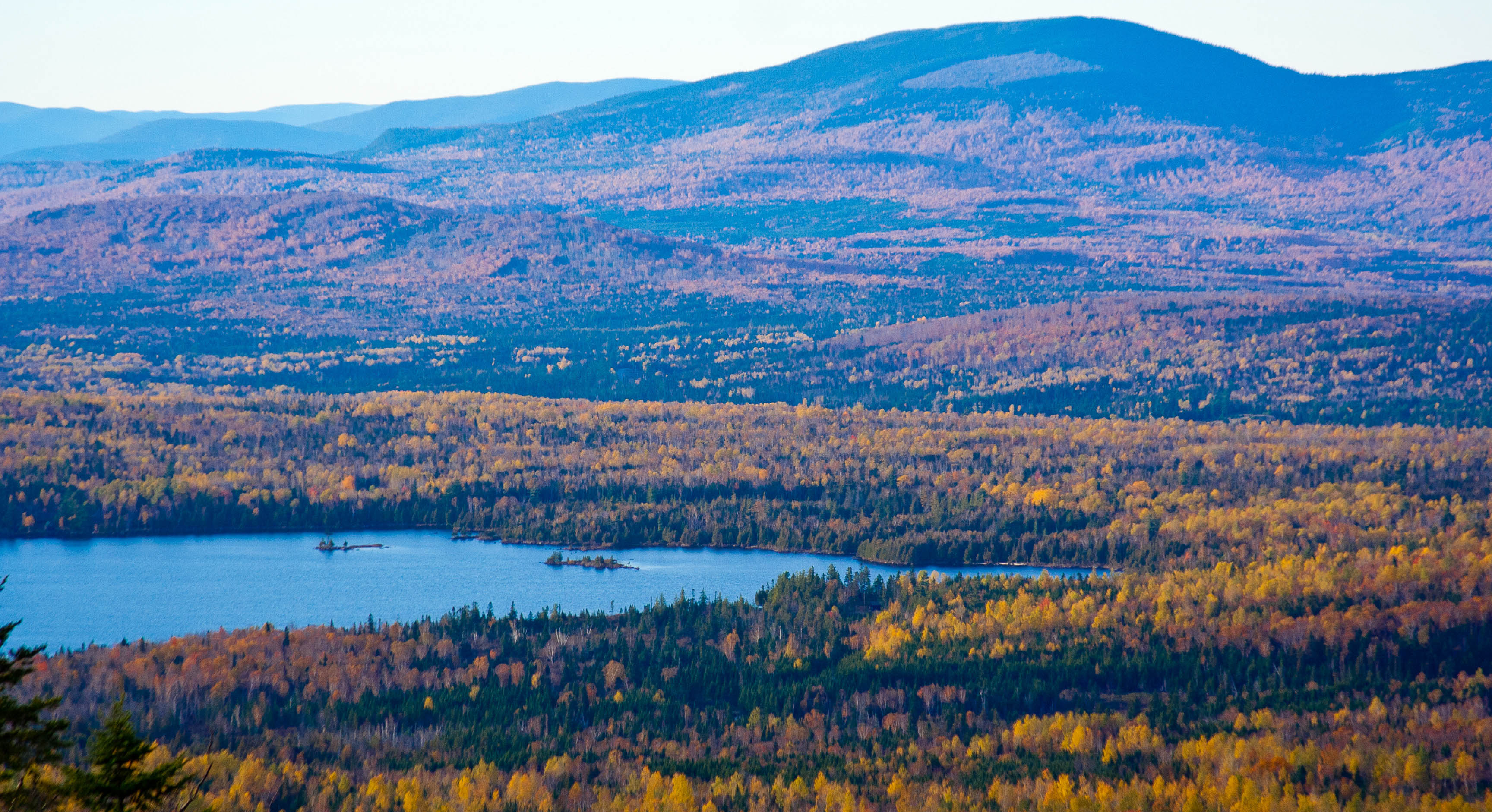
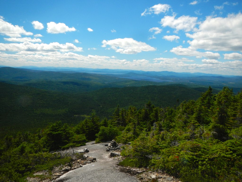
Saddleback Mountain View
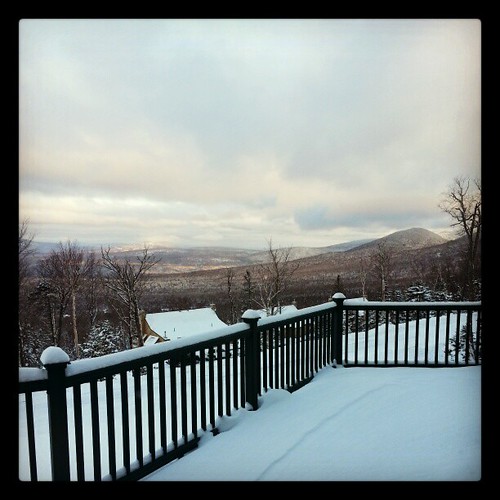
This morning's view
Maine 4 to Redington Stream Campsite
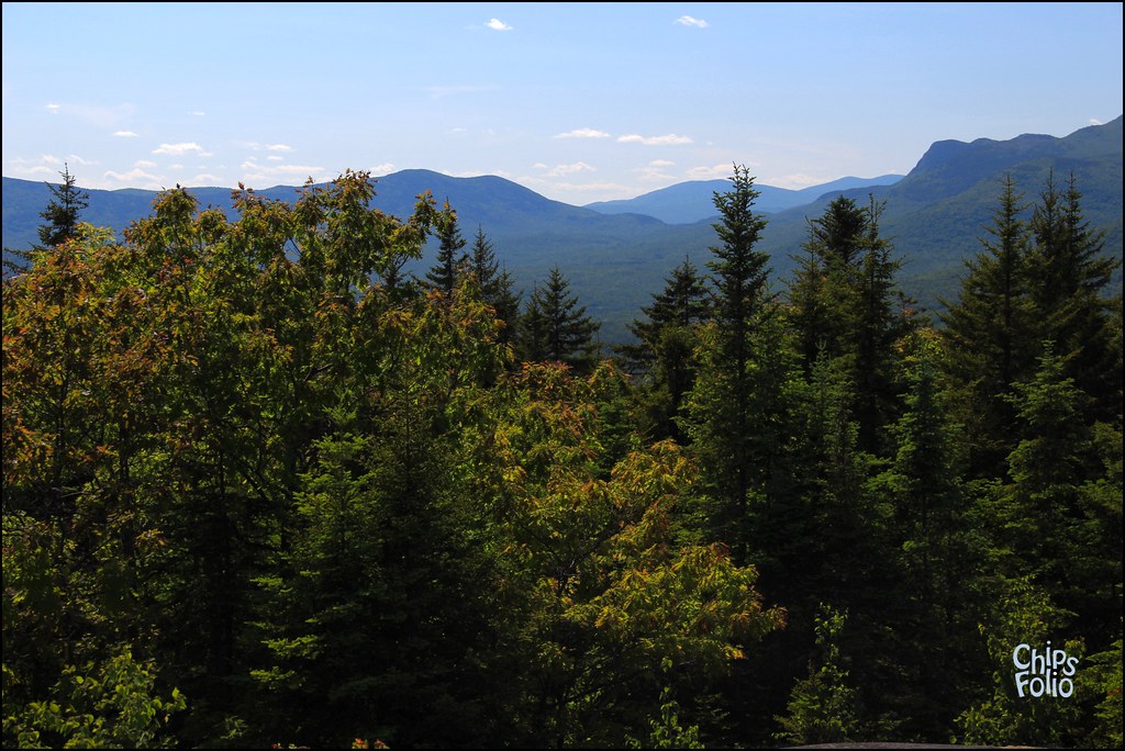
View from Mt Blue State Park
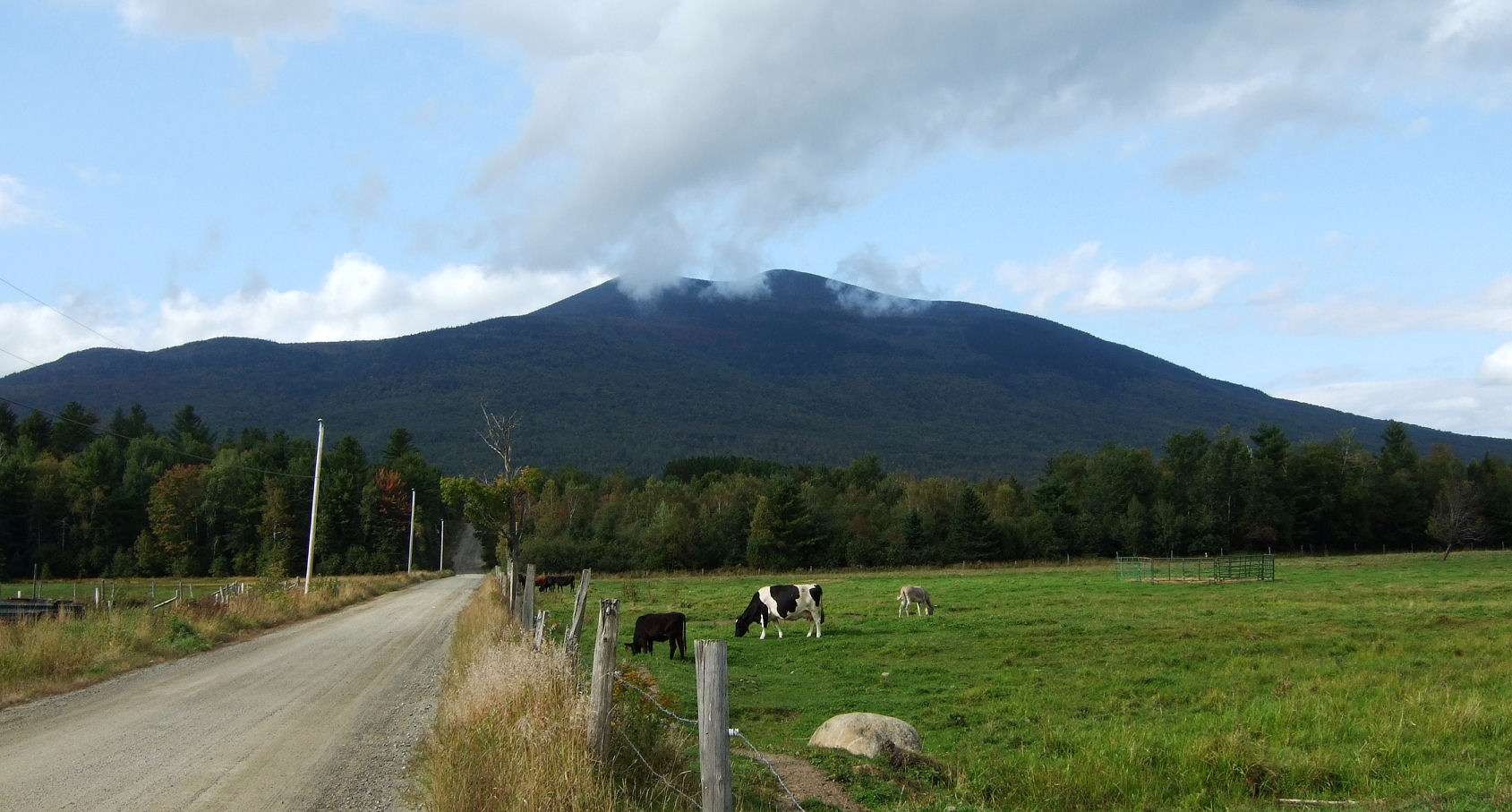
Salem Maine Cow Cattle & Donkey
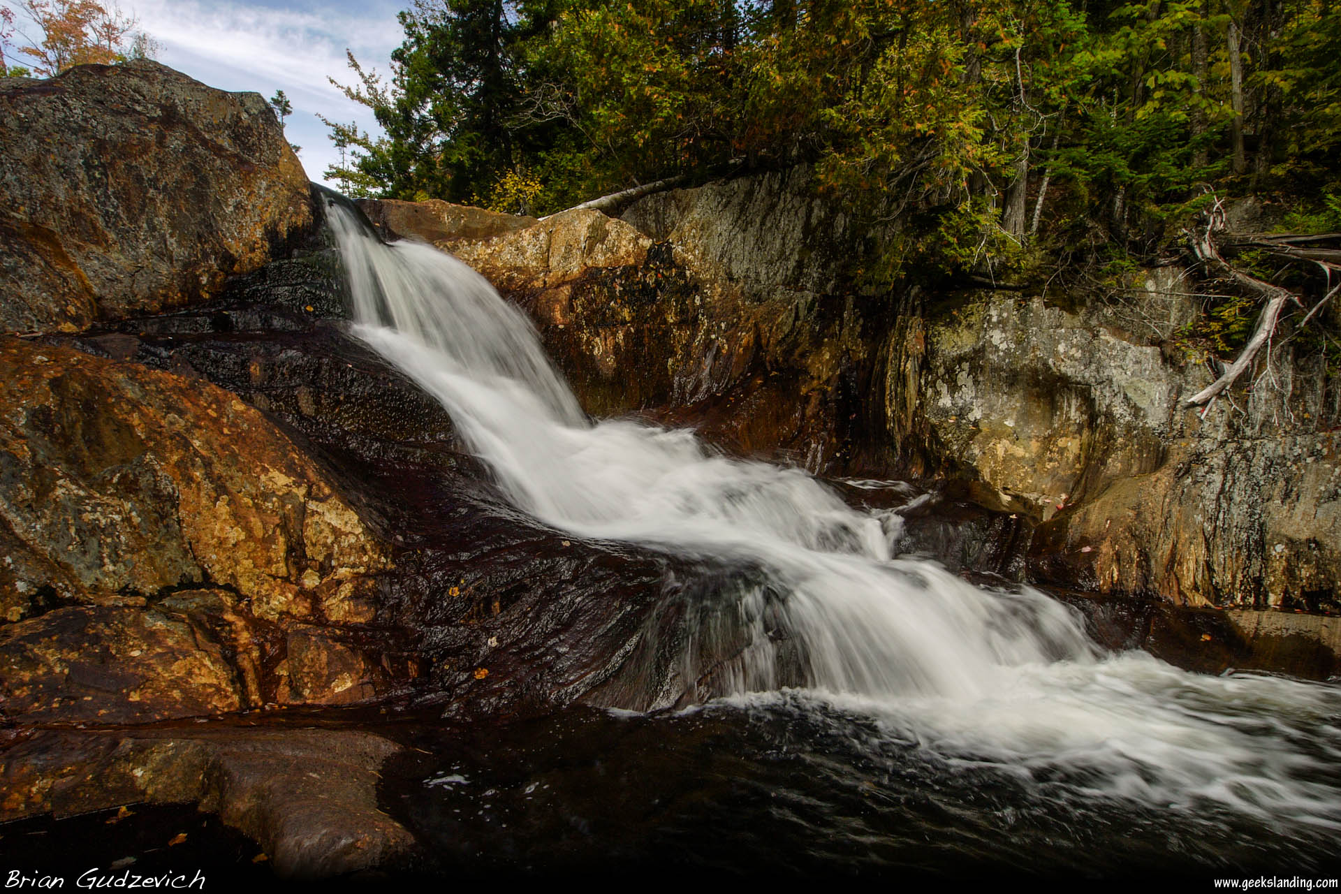
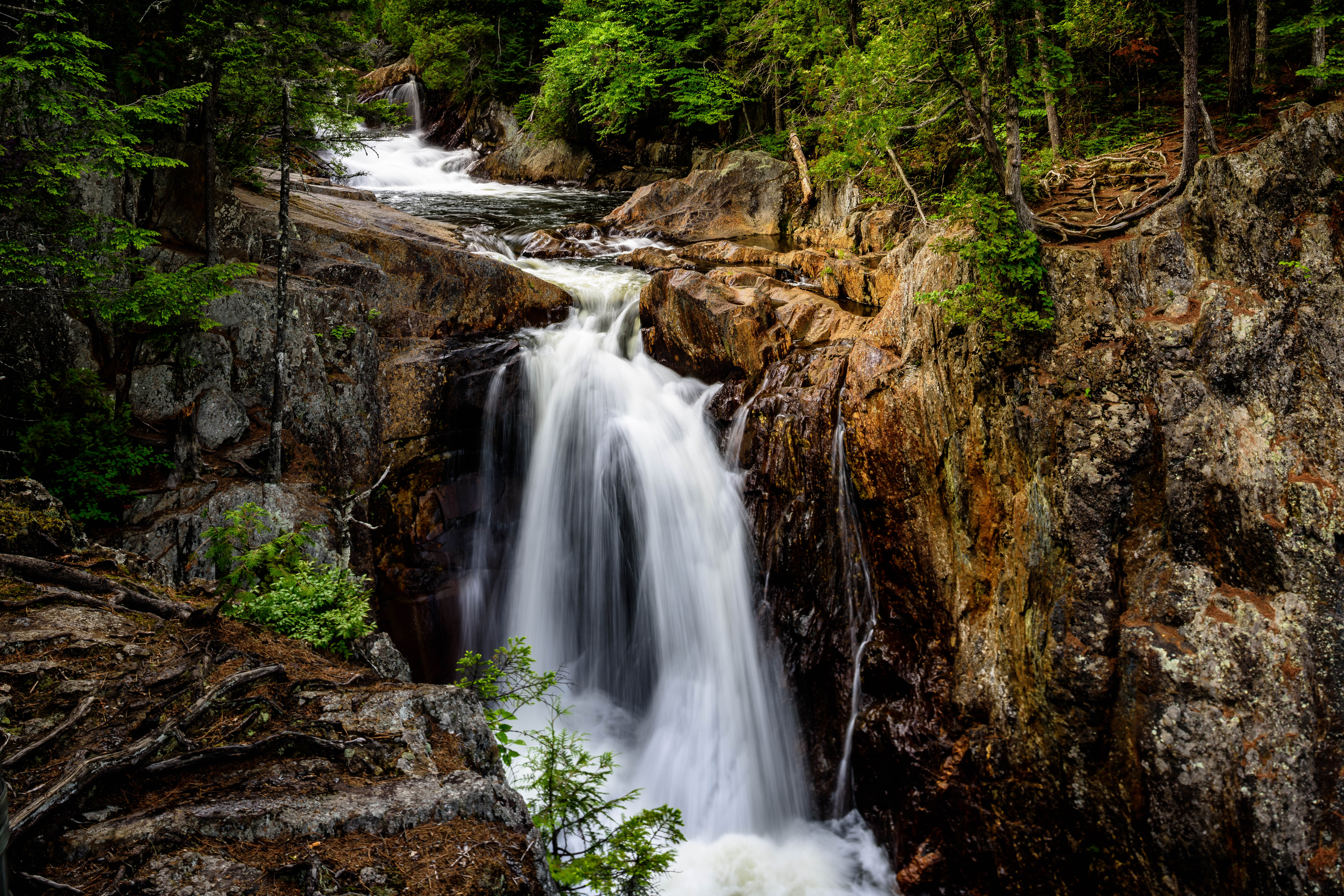
Small's Falls
Smalls Falls - Rangeley, Maine

Taylor on Saddleback Mt.
Smalls Falls, West Central Franklin 1

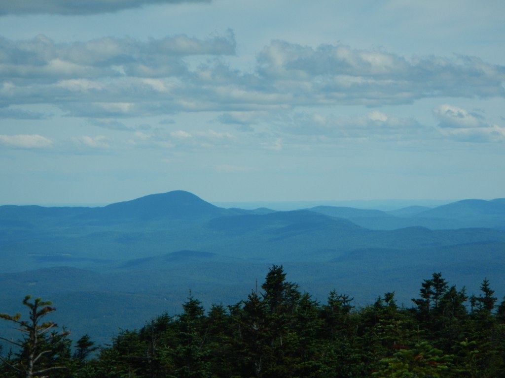
Clouds In Phillips
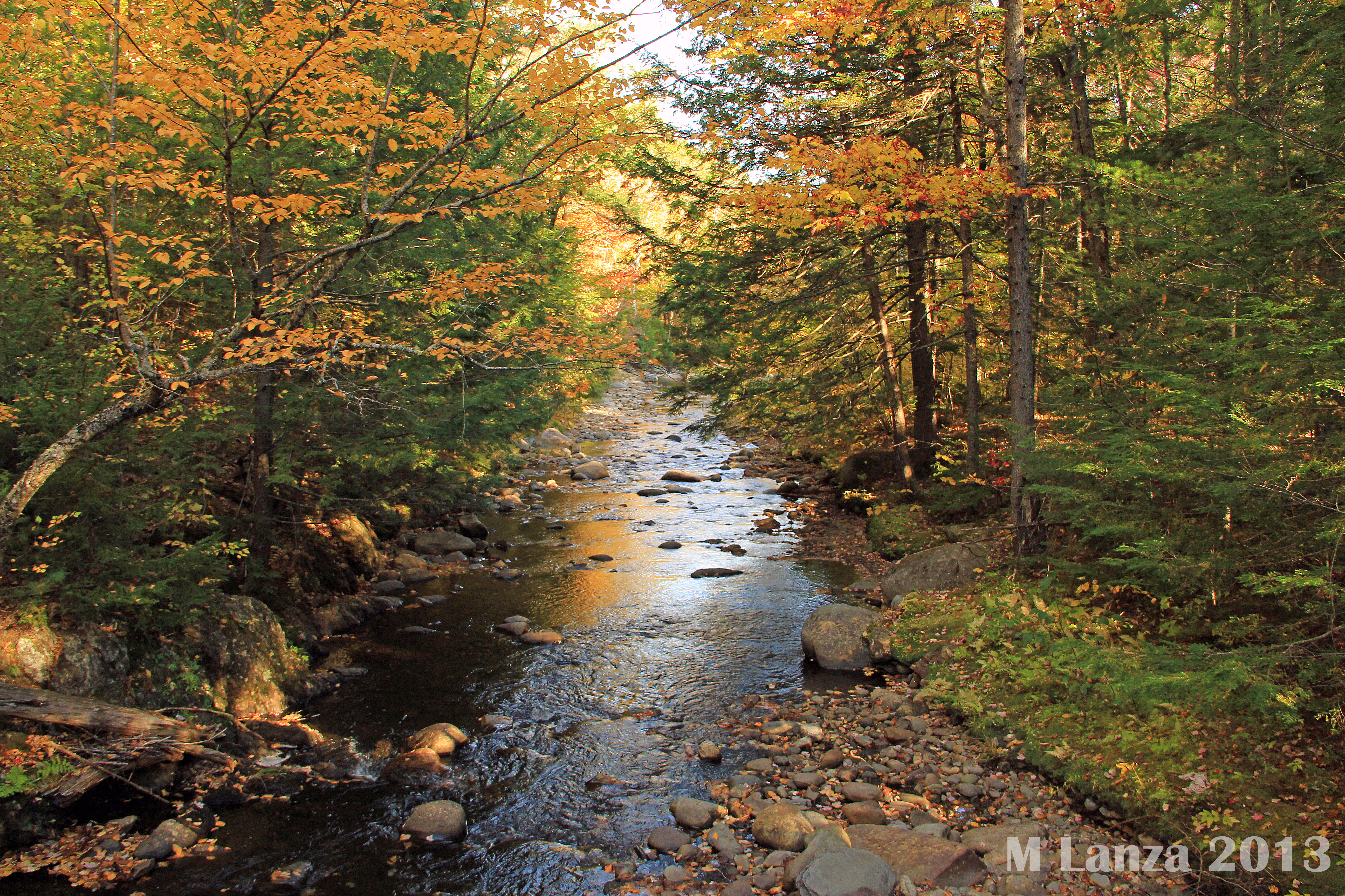
Sandy River

Maine 2015

Maine 2015
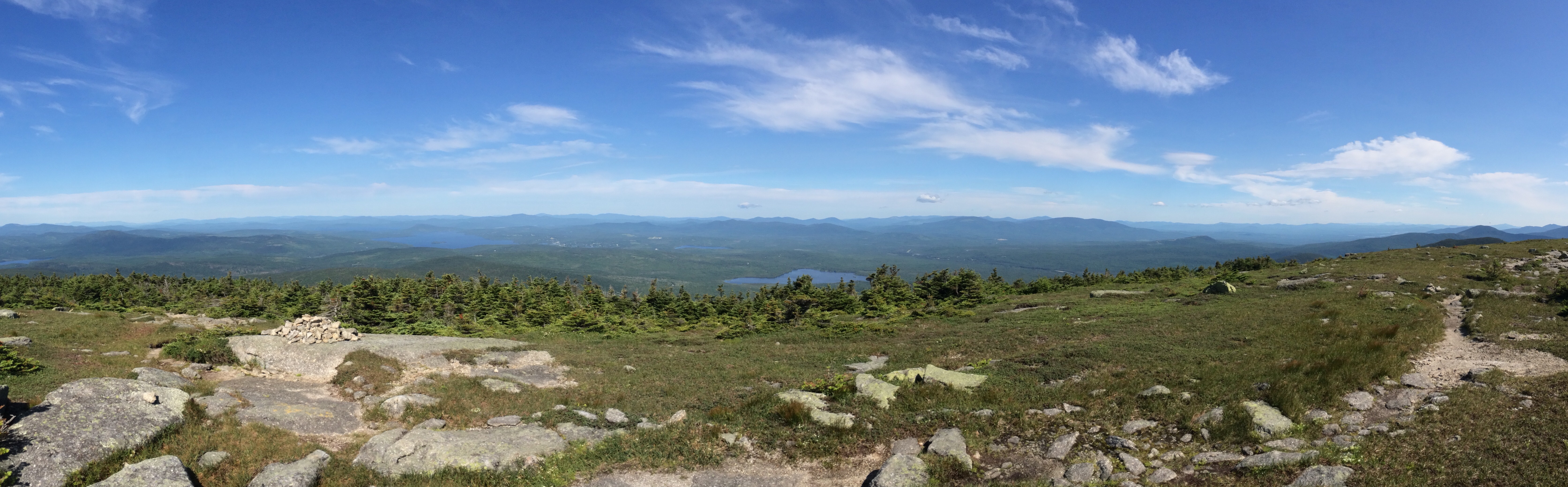
Saddleback Mtn. looking over Rangeley

Maine 2015

Smalls Falls

Smalls Falls 2

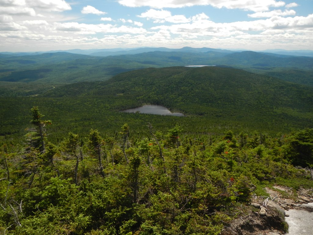
South of Eddy Pond, Saddleback, Maine
Maine 4 to Redington Stream Campsite

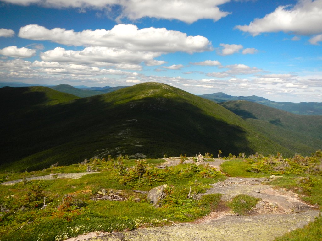
From Saddleback looking SW towards the White Mountains in NH
Maine 4 to Redington Stream Campsite
Maine 4 to Redington Stream Campsite
Topographic Map of Phillips, ME, USA
Find elevation by address:

Places near Phillips, ME, USA:
Toothaker Pond Road
27 Bray Hill Rd
Bog Pond Road
250 Salem Rd
7 Wilbur Rd
562 Salem Rd
562 Salem Rd
3 Meadowside Ln
3 Meadowside Ln
Town Of Madrid
Soule Cabin
Madrid
East Central Franklin
Mount Abraham
The Horn
Saddleback Mountain
Sandy River
524 Saddleback Mountain Rd
Stinchfield Road
7 Robbins Nest Ln
Recent Searches:
- Elevation of Corso Fratelli Cairoli, 35, Macerata MC, Italy
- Elevation of Tallevast Rd, Sarasota, FL, USA
- Elevation of 4th St E, Sonoma, CA, USA
- Elevation of Black Hollow Rd, Pennsdale, PA, USA
- Elevation of Oakland Ave, Williamsport, PA, USA
- Elevation of Pedrógão Grande, Portugal
- Elevation of Klee Dr, Martinsburg, WV, USA
- Elevation of Via Roma, Pieranica CR, Italy
- Elevation of Tavkvetili Mountain, Georgia
- Elevation of Hartfords Bluff Cir, Mt Pleasant, SC, USA