Elevation of Pheasant Hill Ln, Shelburne, VT, USA
Location: United States > Vermont > Chittenden County > Shelburne >
Longitude: -73.258345
Latitude: 44.410535
Elevation: 75m / 246feet
Barometric Pressure: 100KPa
Elevation Map:
Satellite Map:
Related Photos:
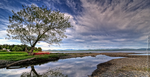
The Red Canoe
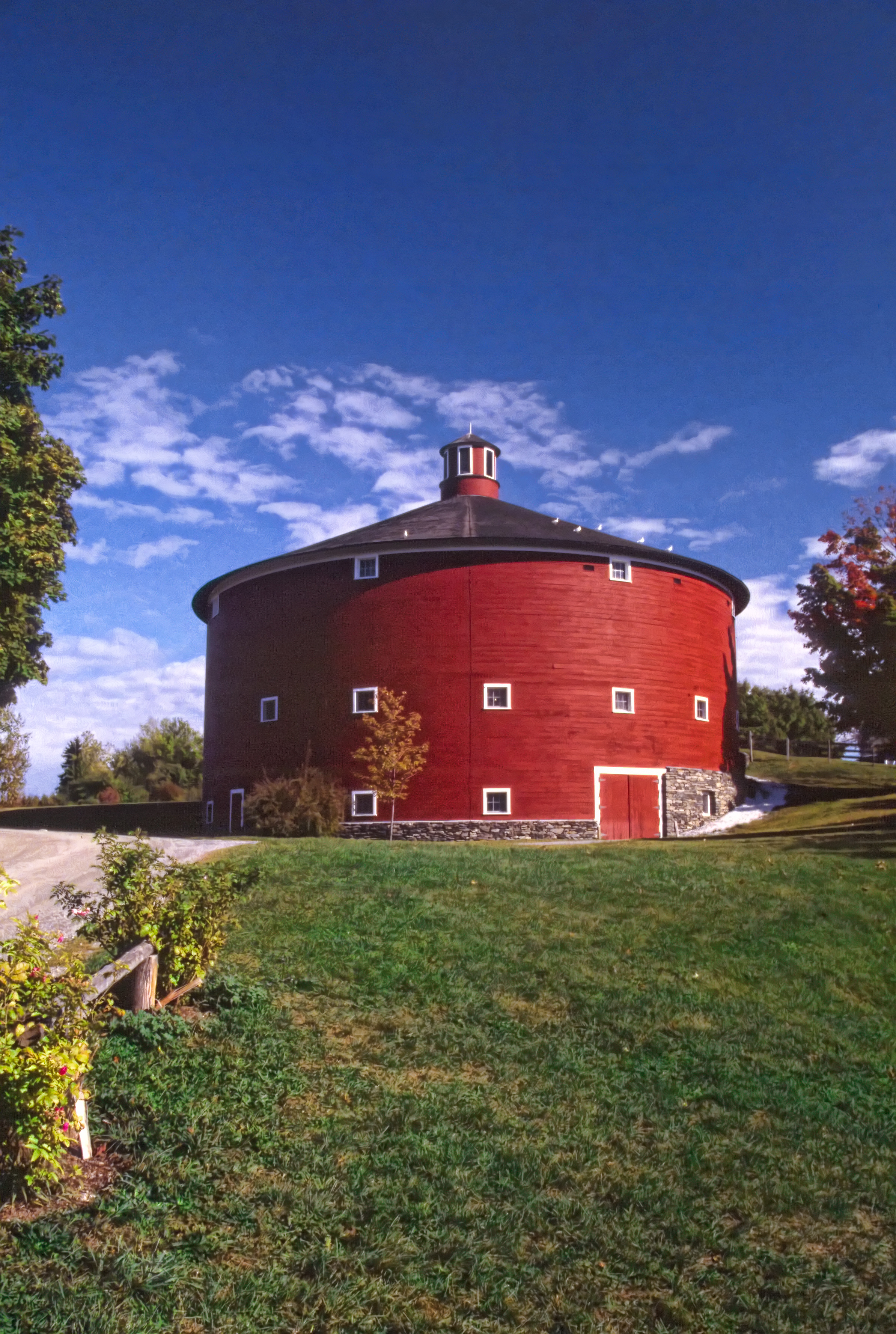
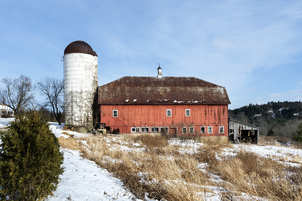
Round Barn, Shelbourne, VT
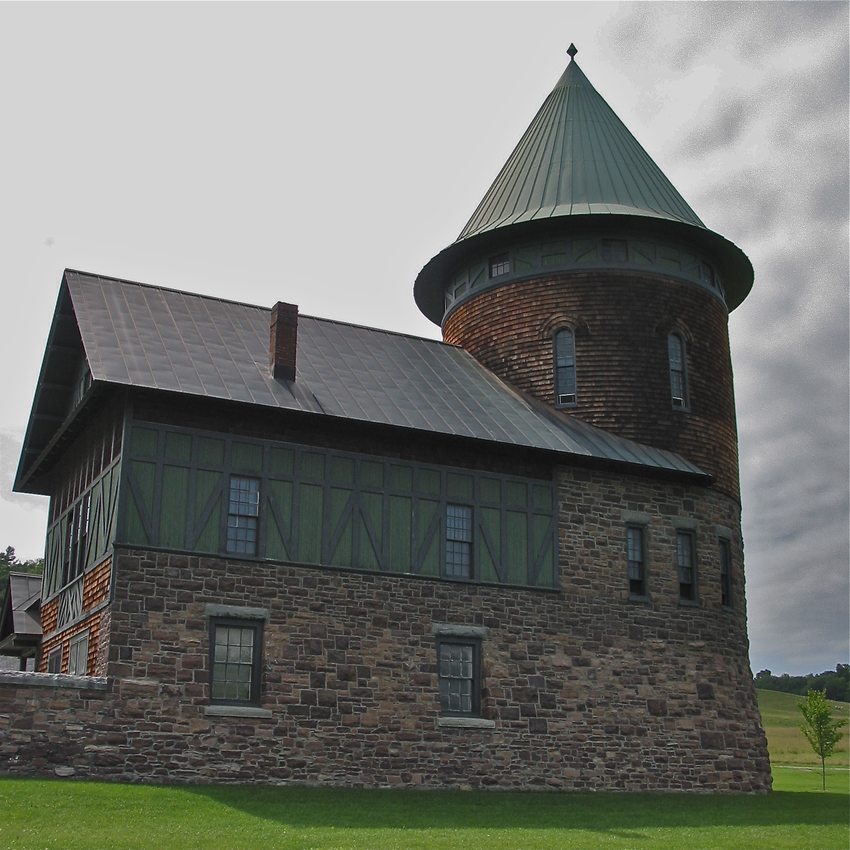
Shelburne Farms (1886) – Farm Barn (1888-90) - detail
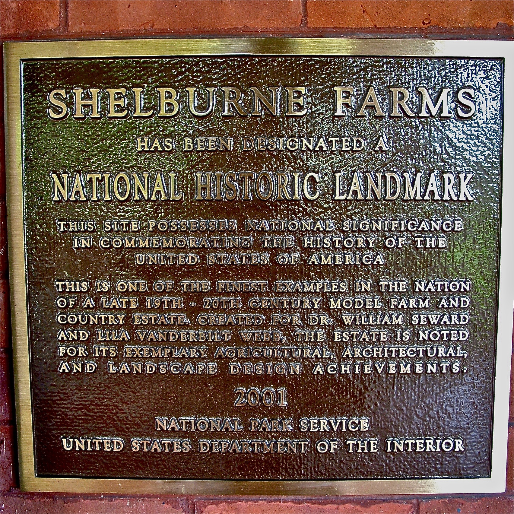
Shelburne Farms (1886) – National Historic Landmark plaque
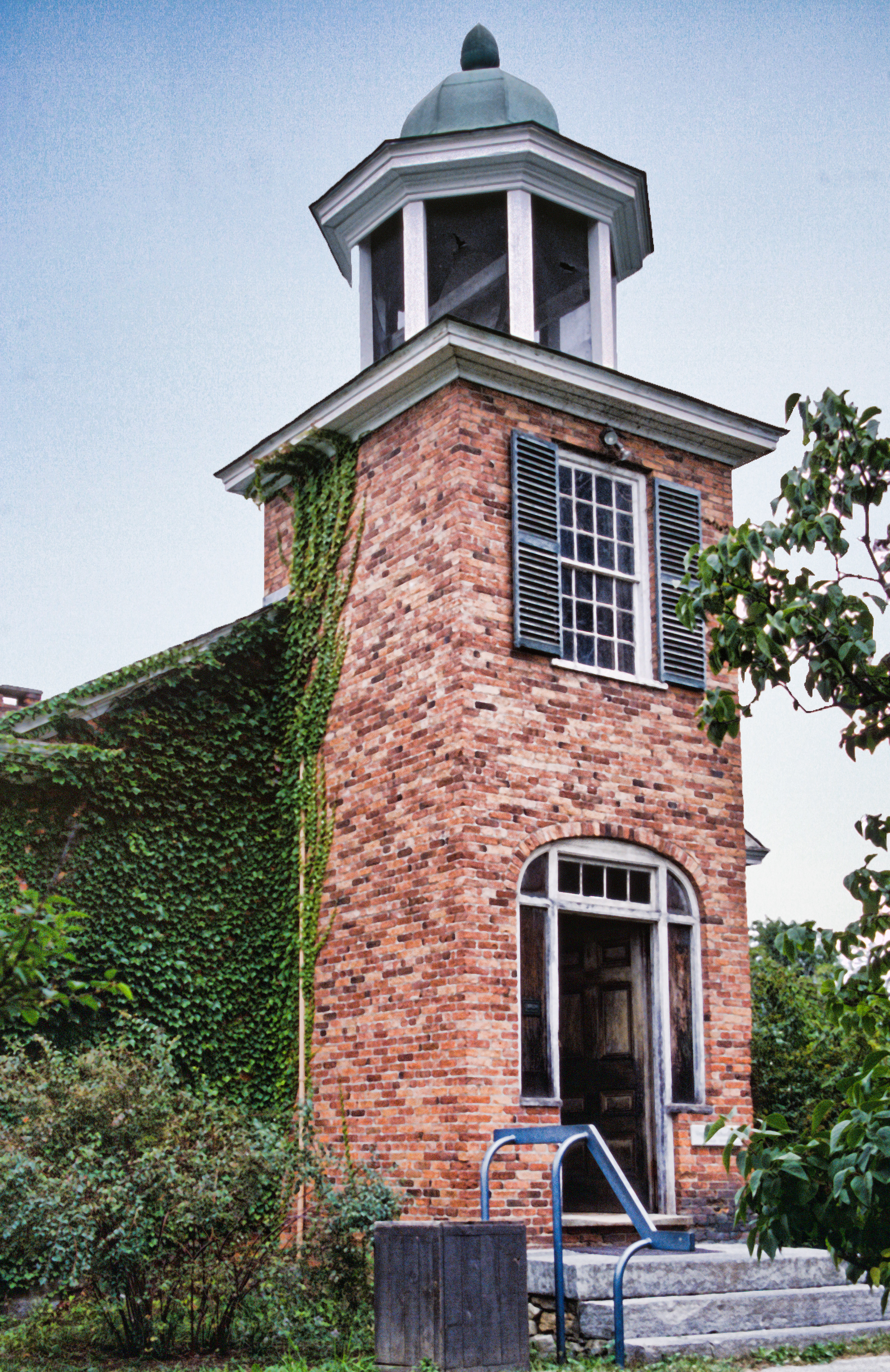
Vergennes Schoolhouse, Shelbourne Vermont
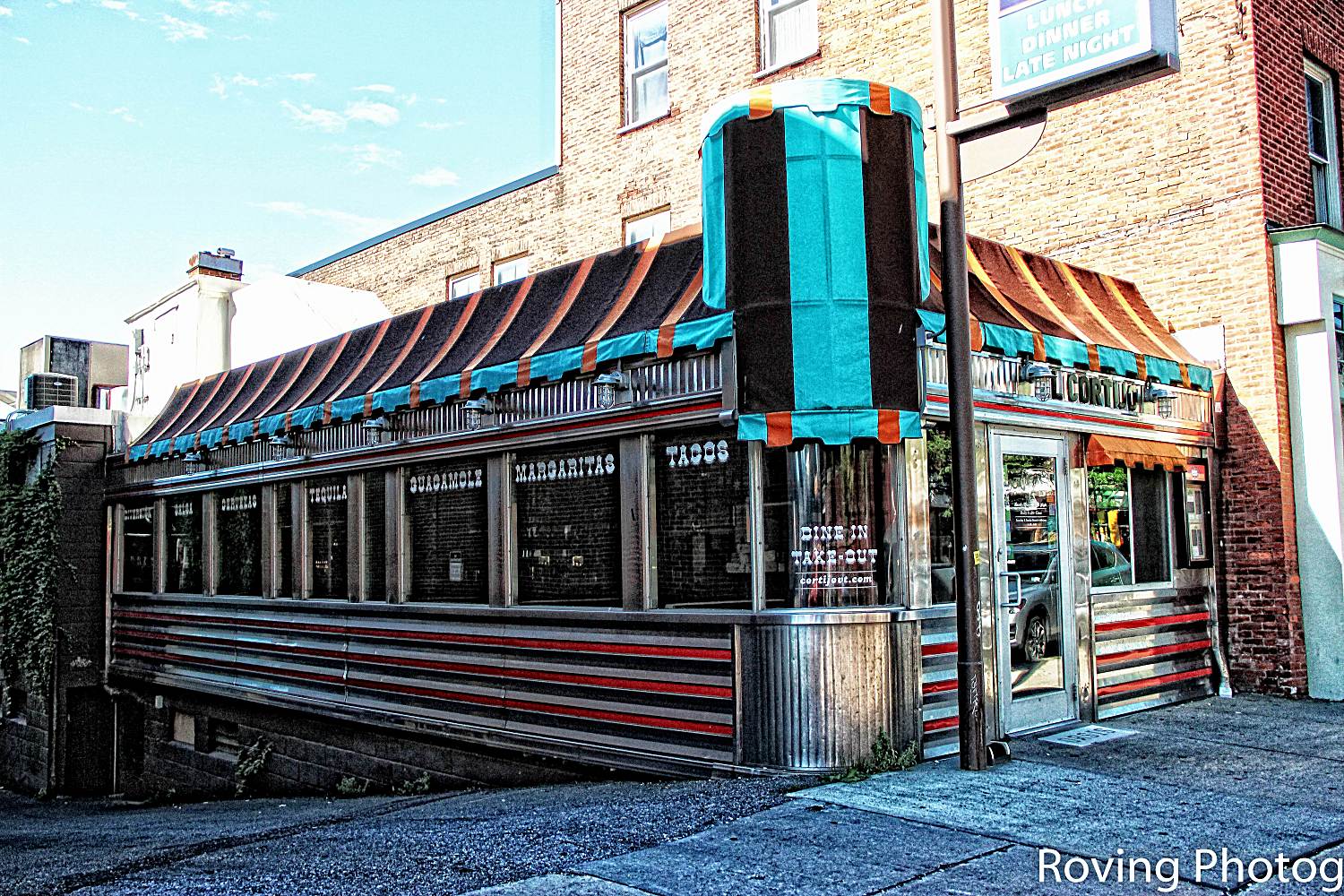
Cortijo Diner
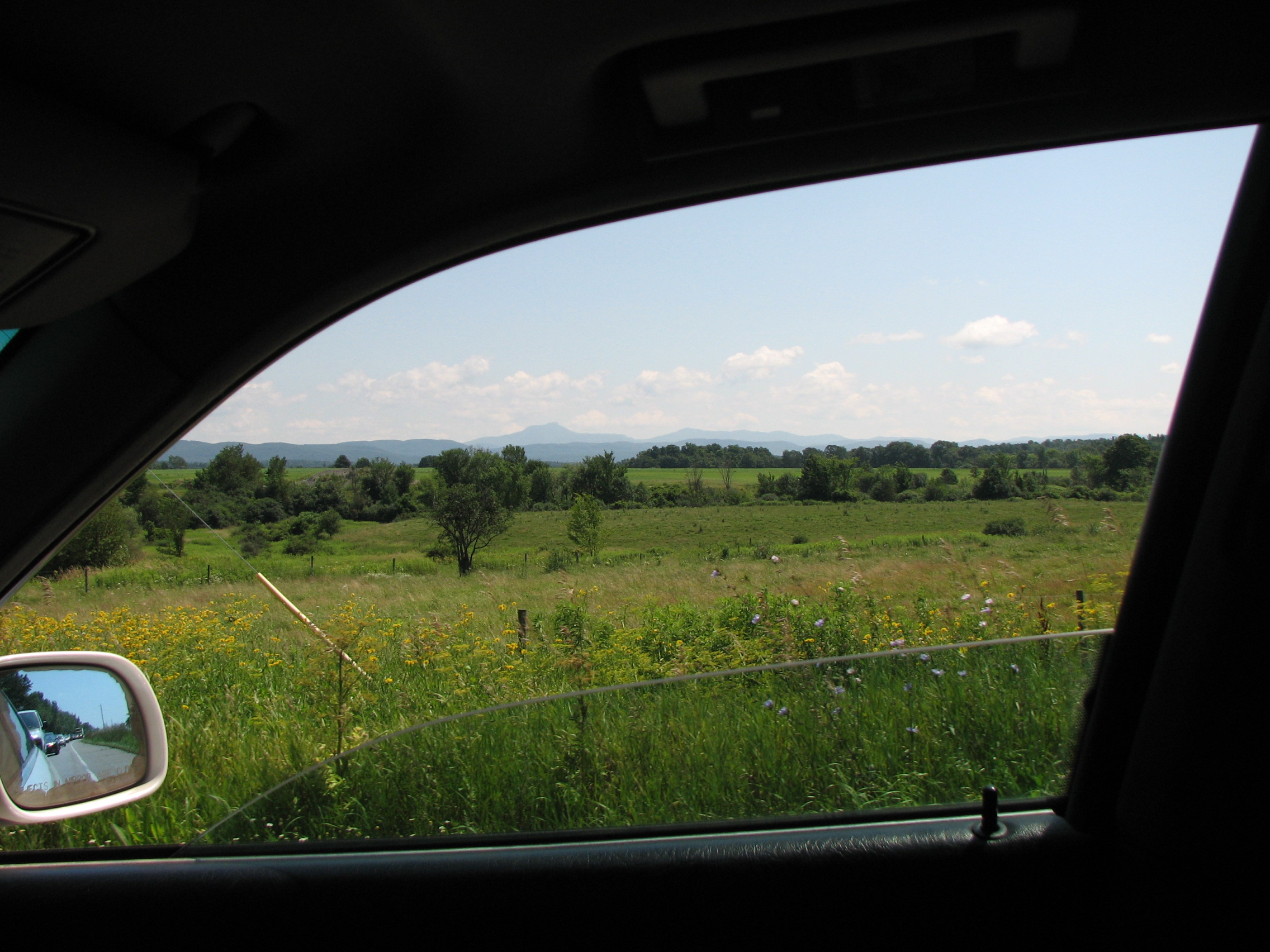
car.window • view
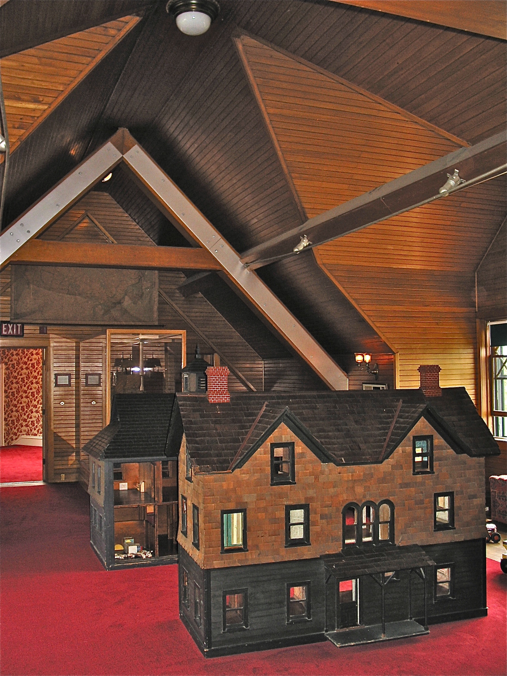
Shelburne Farms (1886) – Shelburne House (1899) - playroom
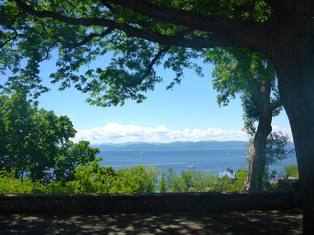
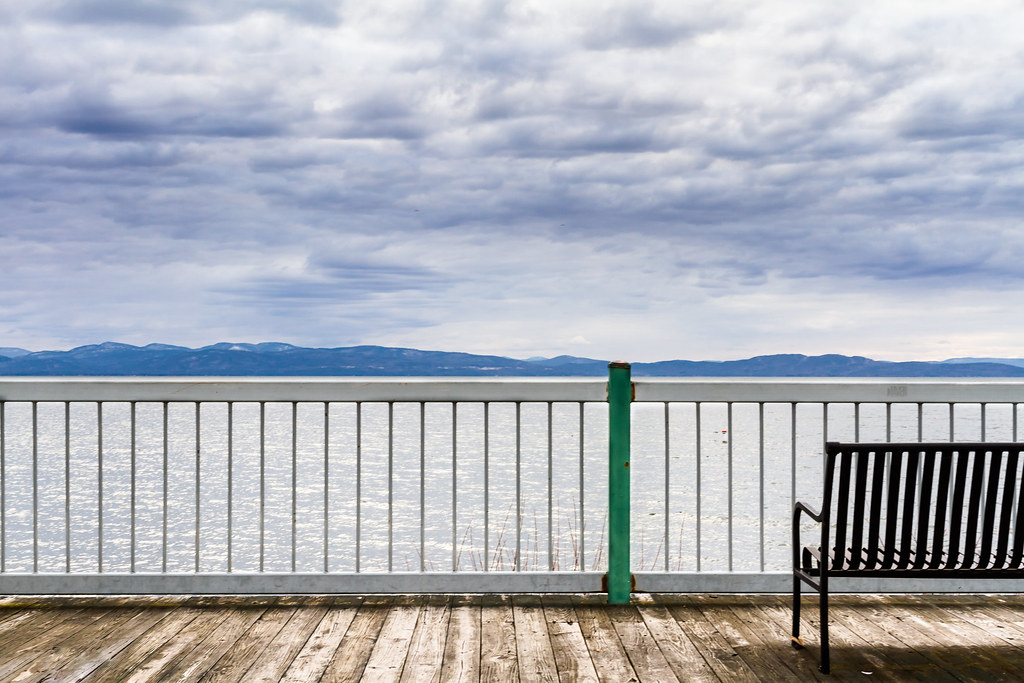
The Overlook
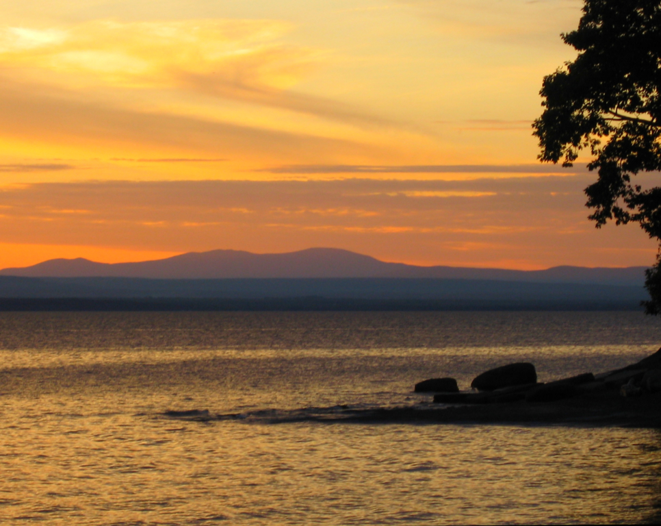
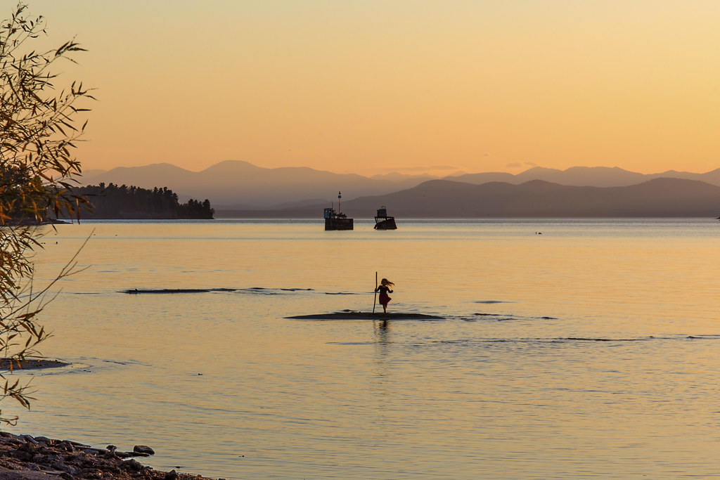
Vermont Sunset, Emmy's Beach

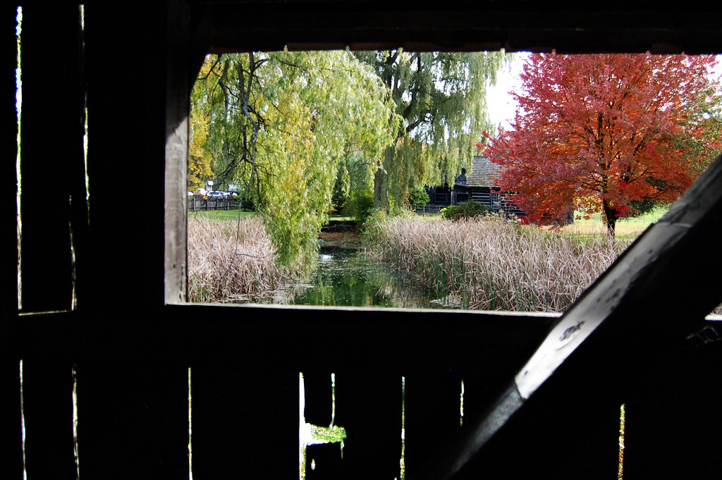
Framing the view

Richardson Place (1894) – elaborate roofline
view from a bridge
TrackHead Studios - Lake Champlain

The Unknown Sailor pano view
Just a Half
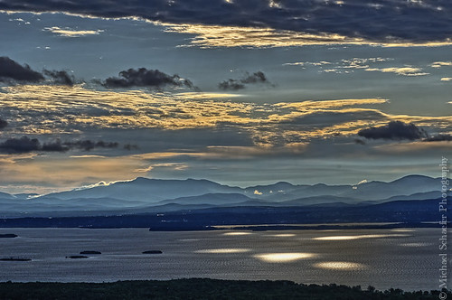
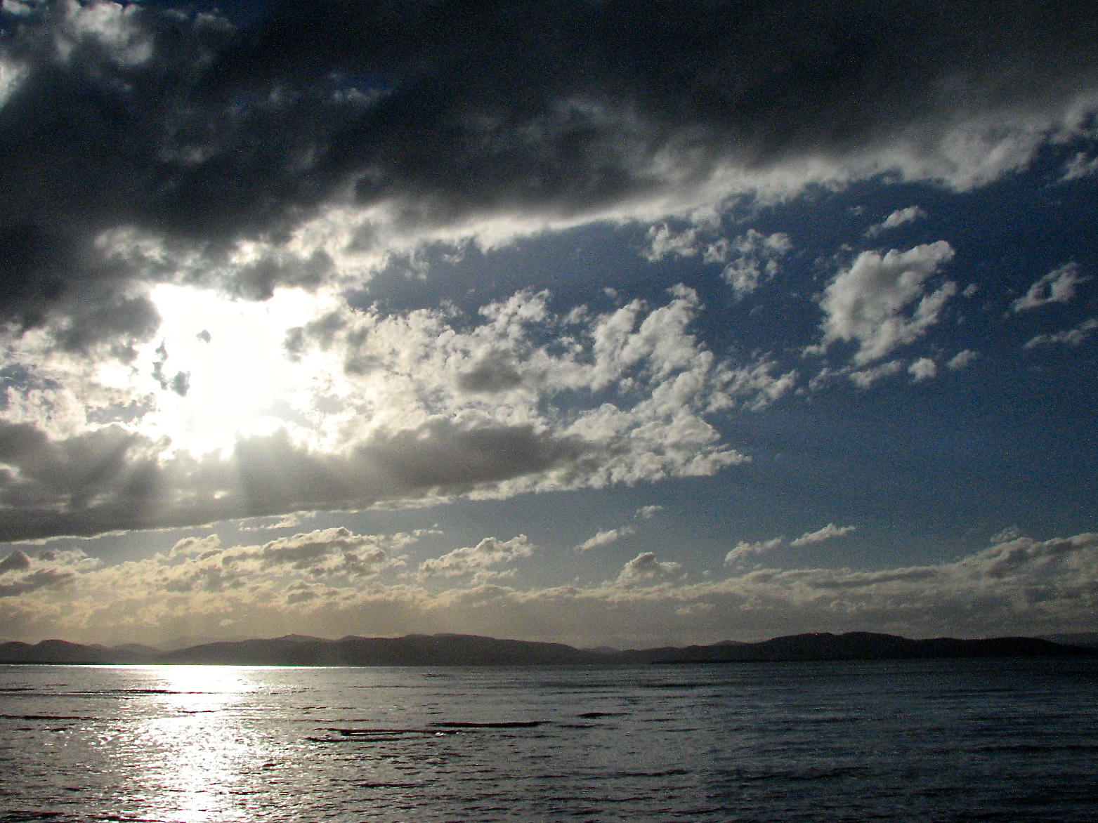
Morning Light over Lake Champlain

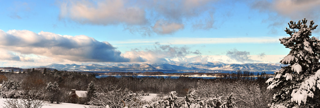
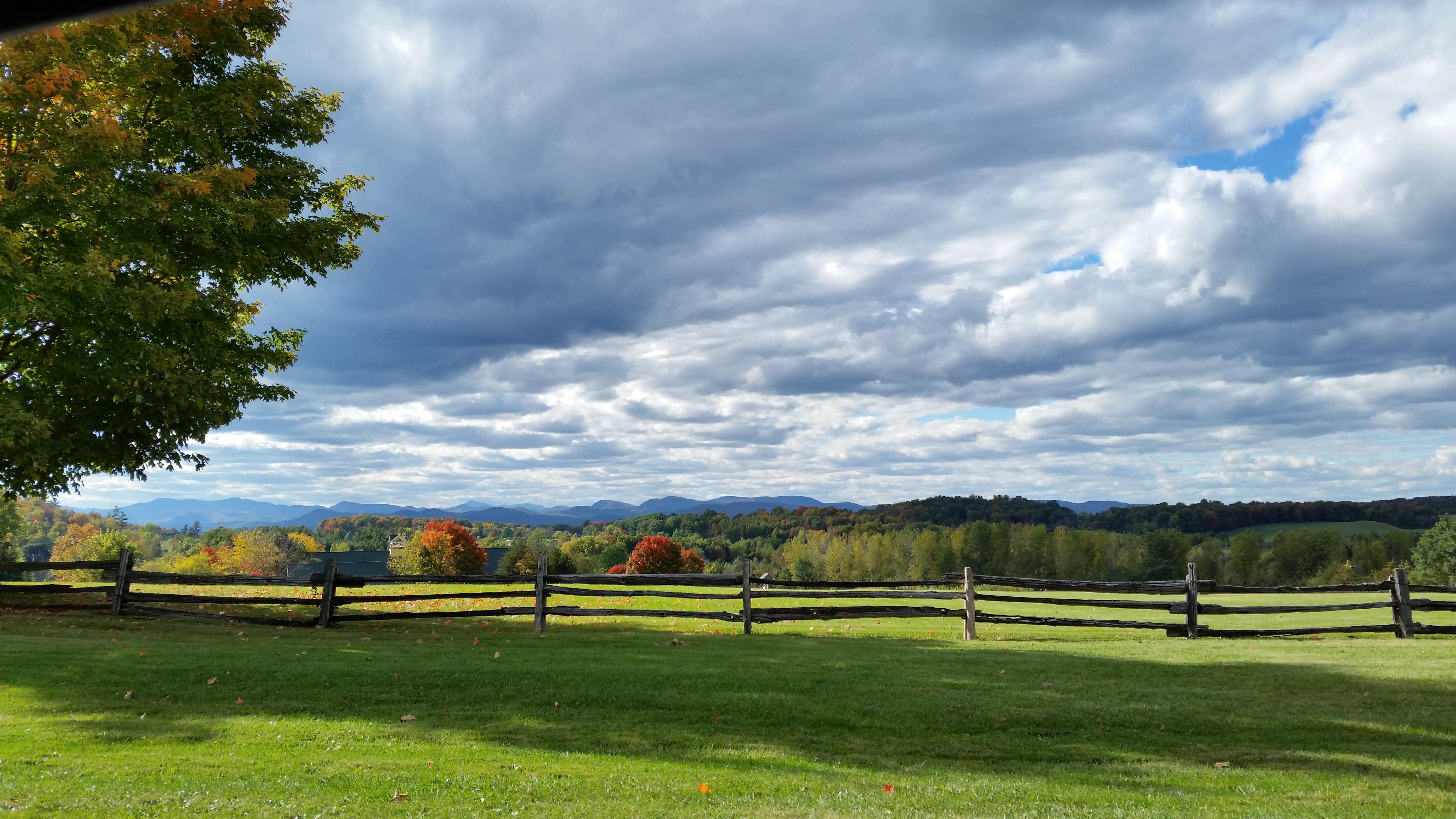
Another beautiful morning in Vermont.
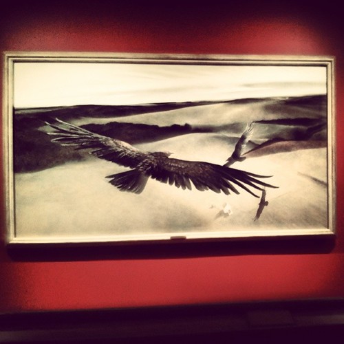
Frightening Bird's Eye View... #perspective #vantage #art #artspaces #museumspaces #museumseries Painting: "Soaring" (1950) by Andrew Wyeth (1917 - 2009)
Roadside View
lake.champlain • sunset

Dali Re-enacted in 21st Century #landscape #artspaces #sculpturegarden
low perspective
The Magic Path
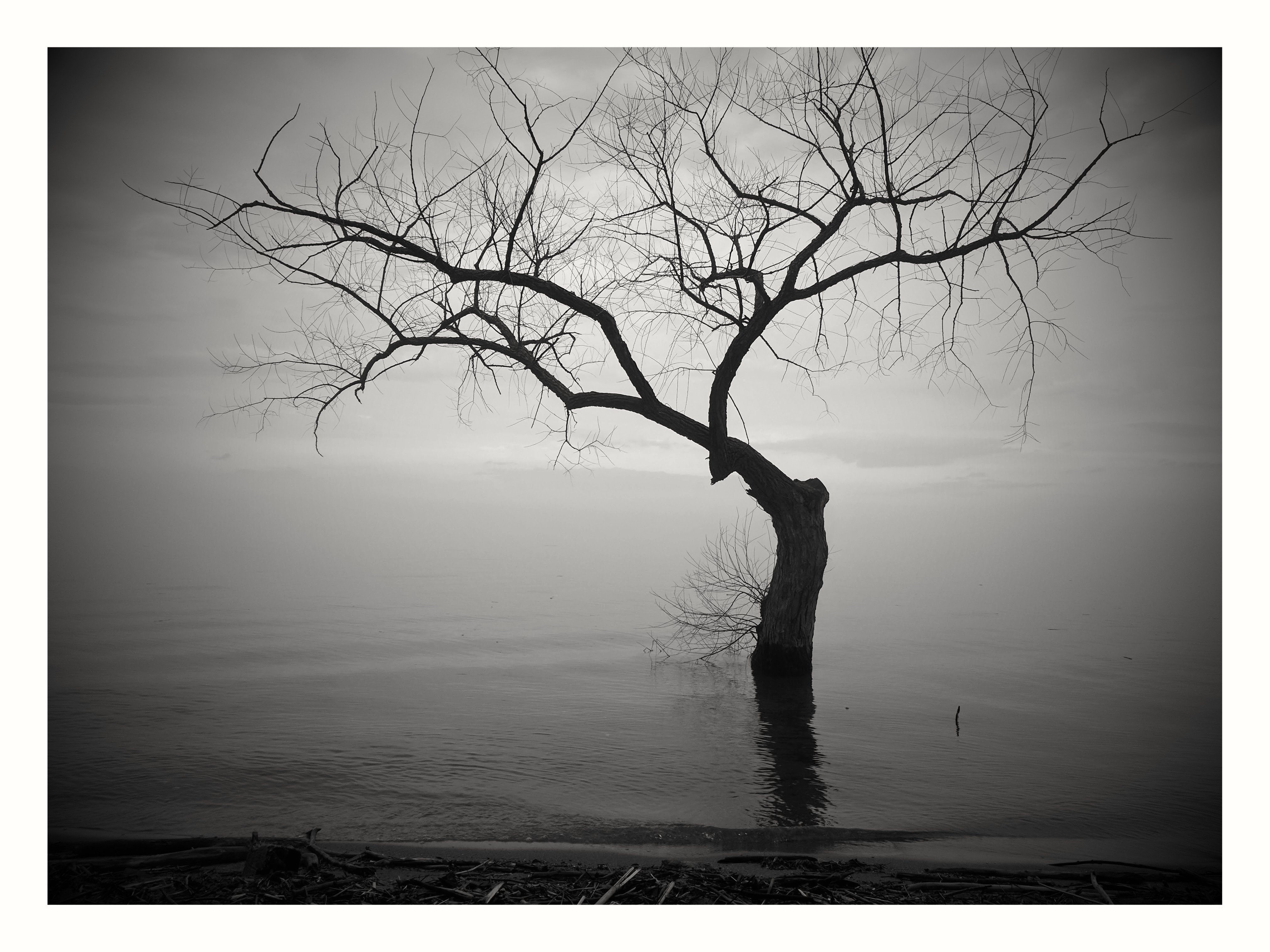
Tree in Lake Champlain in Burlington VT. Passed by it on a foggy morning run south along the lake.

Adirondack sunset
Vermont_D718766-Edit.jpg

Puffy White Clouds
Primal Dance #2
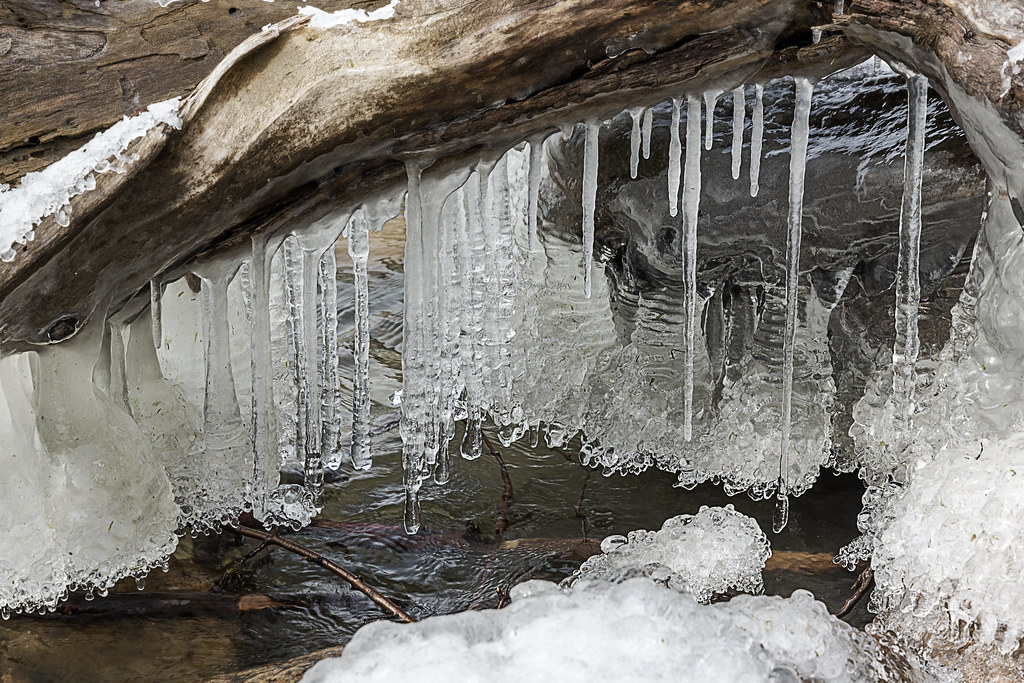
lake ice
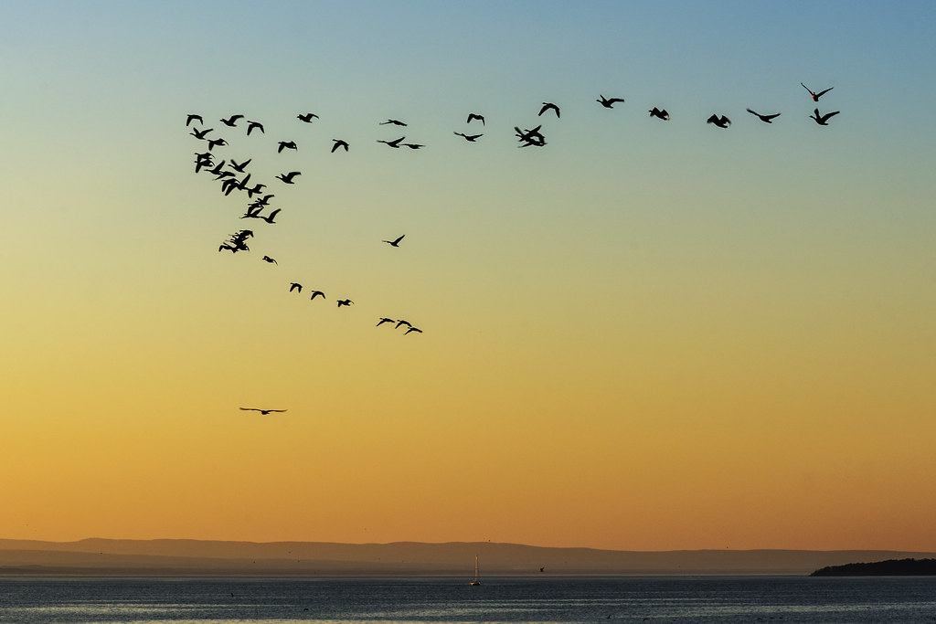
Flying South

primal dance
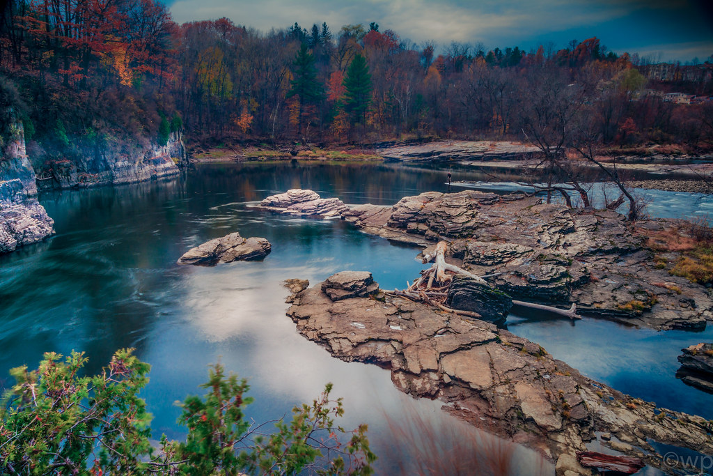
The Winooski Falls
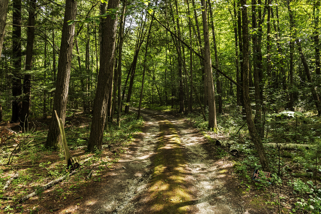
Forest path
Vermont_D718863-Edit.jpg
Ferrisburgh Barn - Topaz Impression | Pastel I

Ten Foot Clearance

After the Moonset
Snow for Christmas
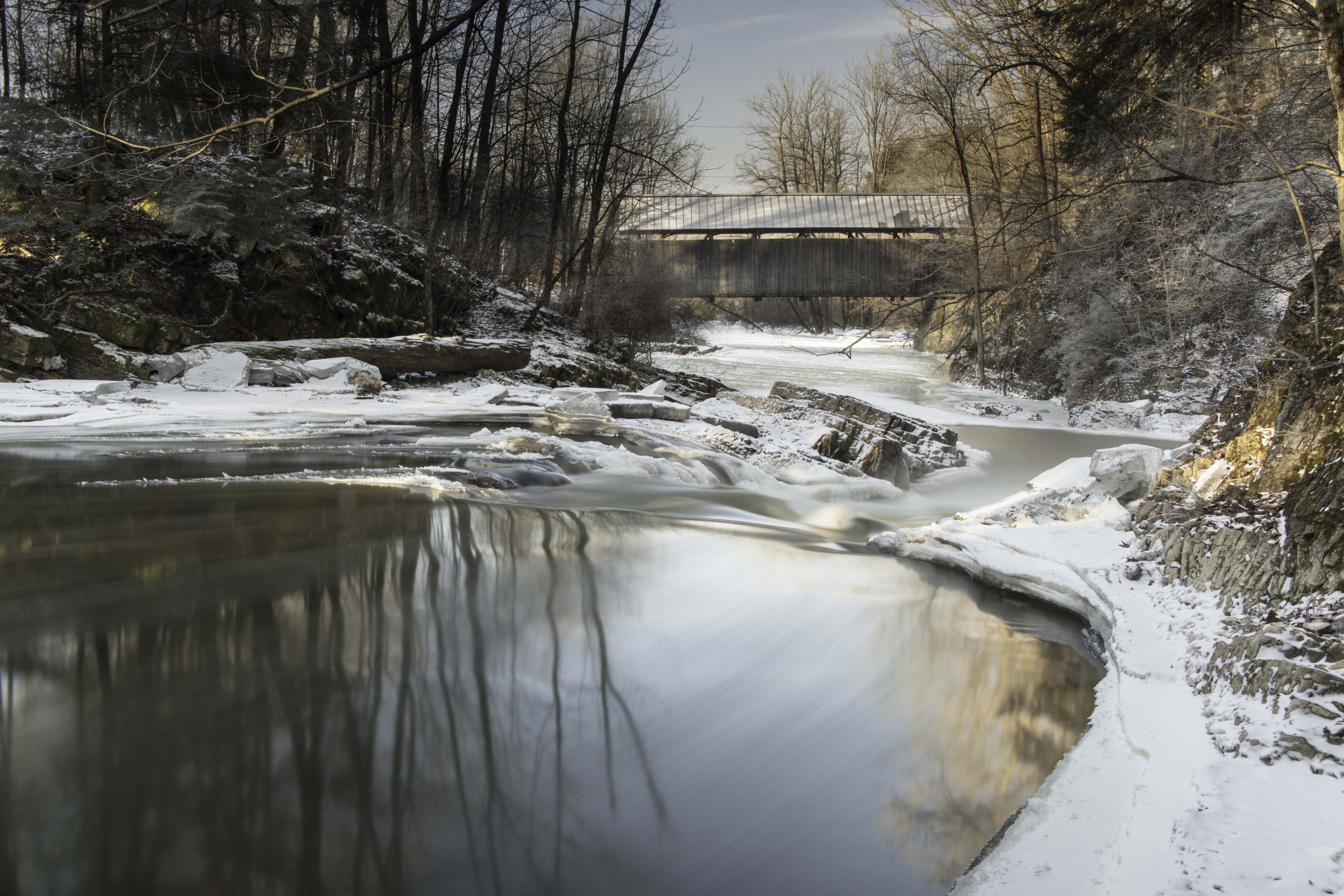
Seguin Covered Bridge
Topographic Map of Pheasant Hill Ln, Shelburne, VT, USA
Find elevation by address:

Places near Pheasant Hill Ln, Shelburne, VT, USA:
201 Pheasant Hill Ln
Harbor Road
29 Harbor Rd, Shelburne, VT, USA
5288 Shelburne Rd
Shelburne
Red Rocks Park
43 Cardinal Way
114 Central Ave
241 S Cove Rd
6000 Shelburne Rd
Central Avenue
65 Oakledge Dr
Oakledge Park
1 Flynn Ave
57 Fayette Dr
Shelburne Rd, South Burlington, VT, USA
300 Wake Robin Dr
11 Irish Hill Rd, Shelburne, VT, USA
76 Rivervale Rd
439 10 Stones Cir
Recent Searches:
- Elevation of Corso Fratelli Cairoli, 35, Macerata MC, Italy
- Elevation of Tallevast Rd, Sarasota, FL, USA
- Elevation of 4th St E, Sonoma, CA, USA
- Elevation of Black Hollow Rd, Pennsdale, PA, USA
- Elevation of Oakland Ave, Williamsport, PA, USA
- Elevation of Pedrógão Grande, Portugal
- Elevation of Klee Dr, Martinsburg, WV, USA
- Elevation of Via Roma, Pieranica CR, Italy
- Elevation of Tavkvetili Mountain, Georgia
- Elevation of Hartfords Bluff Cir, Mt Pleasant, SC, USA