Elevation of Petersville, AK, USA
Location: United States > Alaska > Matanuska-susitna >
Longitude: -150.76555
Latitude: 62.4963889
Elevation: 491m / 1611feet
Barometric Pressure: 96KPa
Elevation Map:
Satellite Map:
Related Photos:
IMG_4904.JPG
IMG_4903.JPG
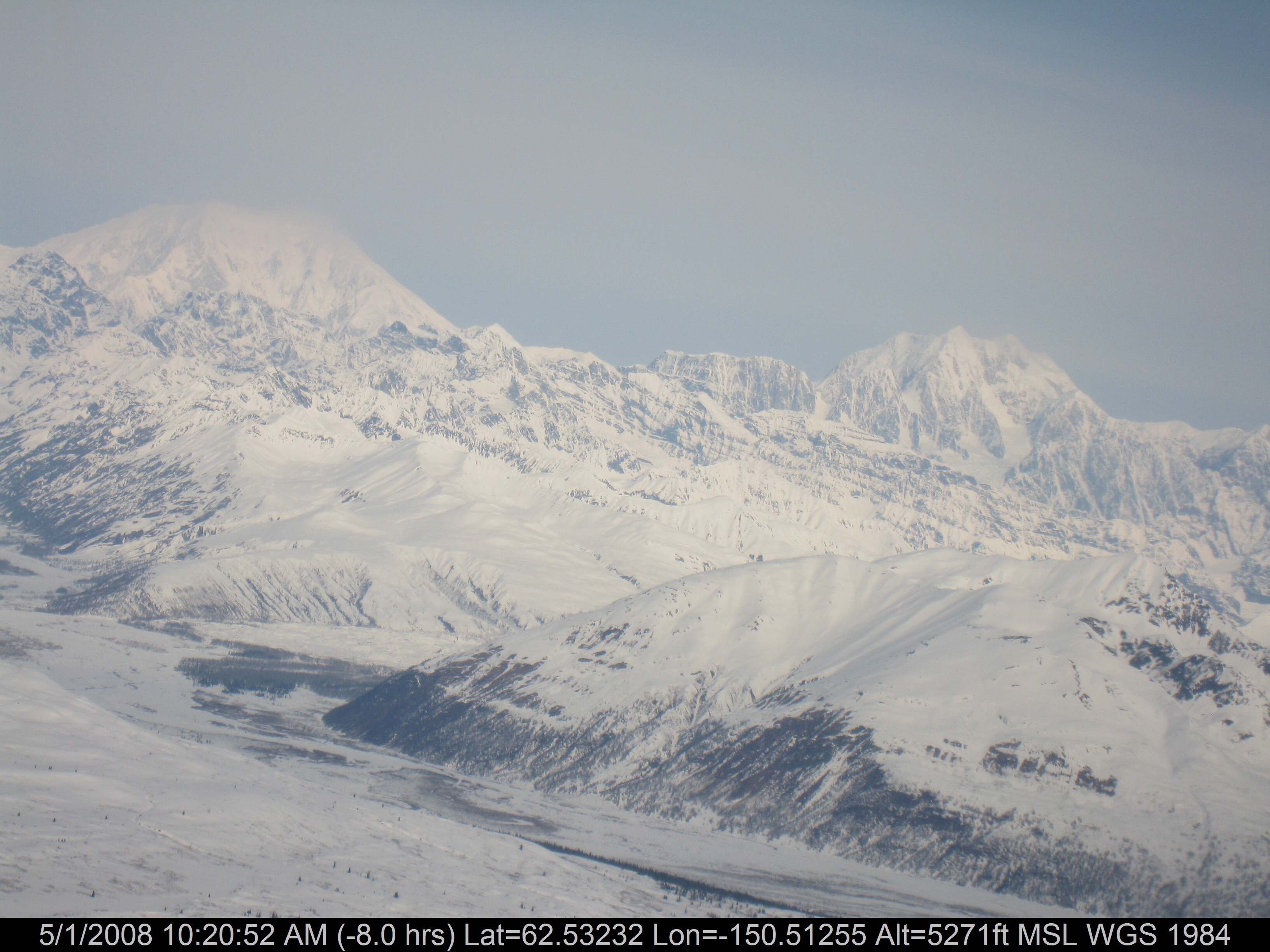
My first look at Denali
Day 02 Talkeetna-07-26-145255-IMG_8149

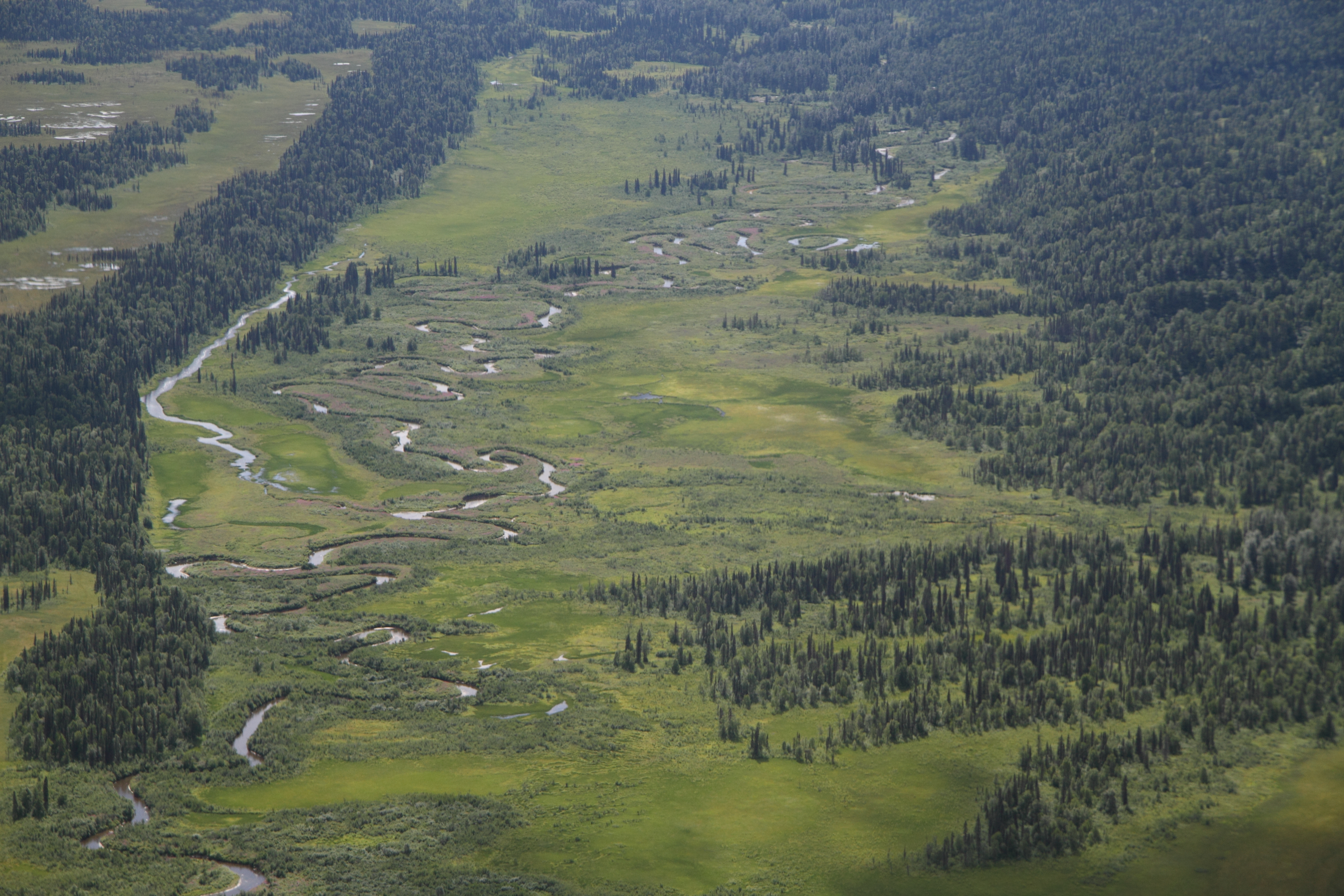
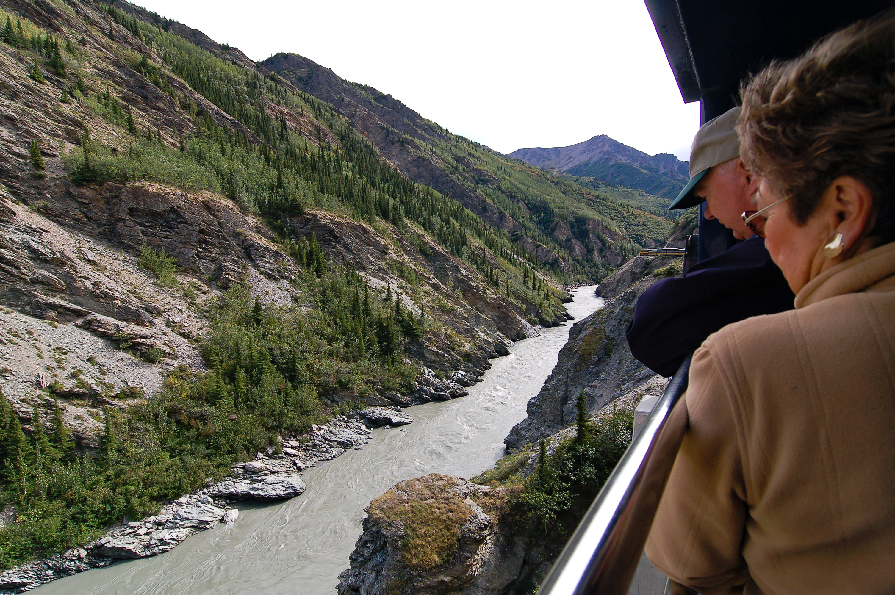
Forêts et marécages

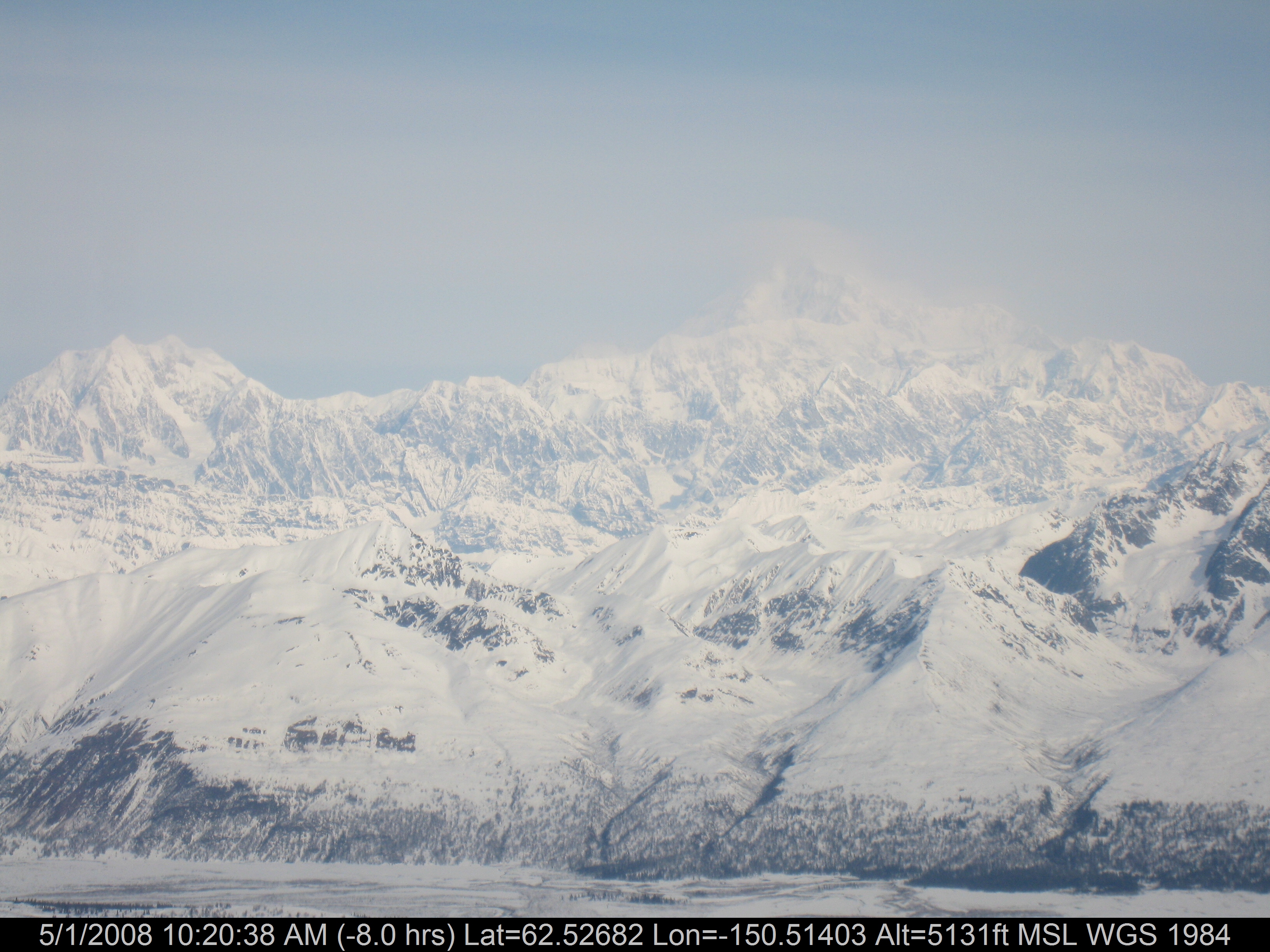
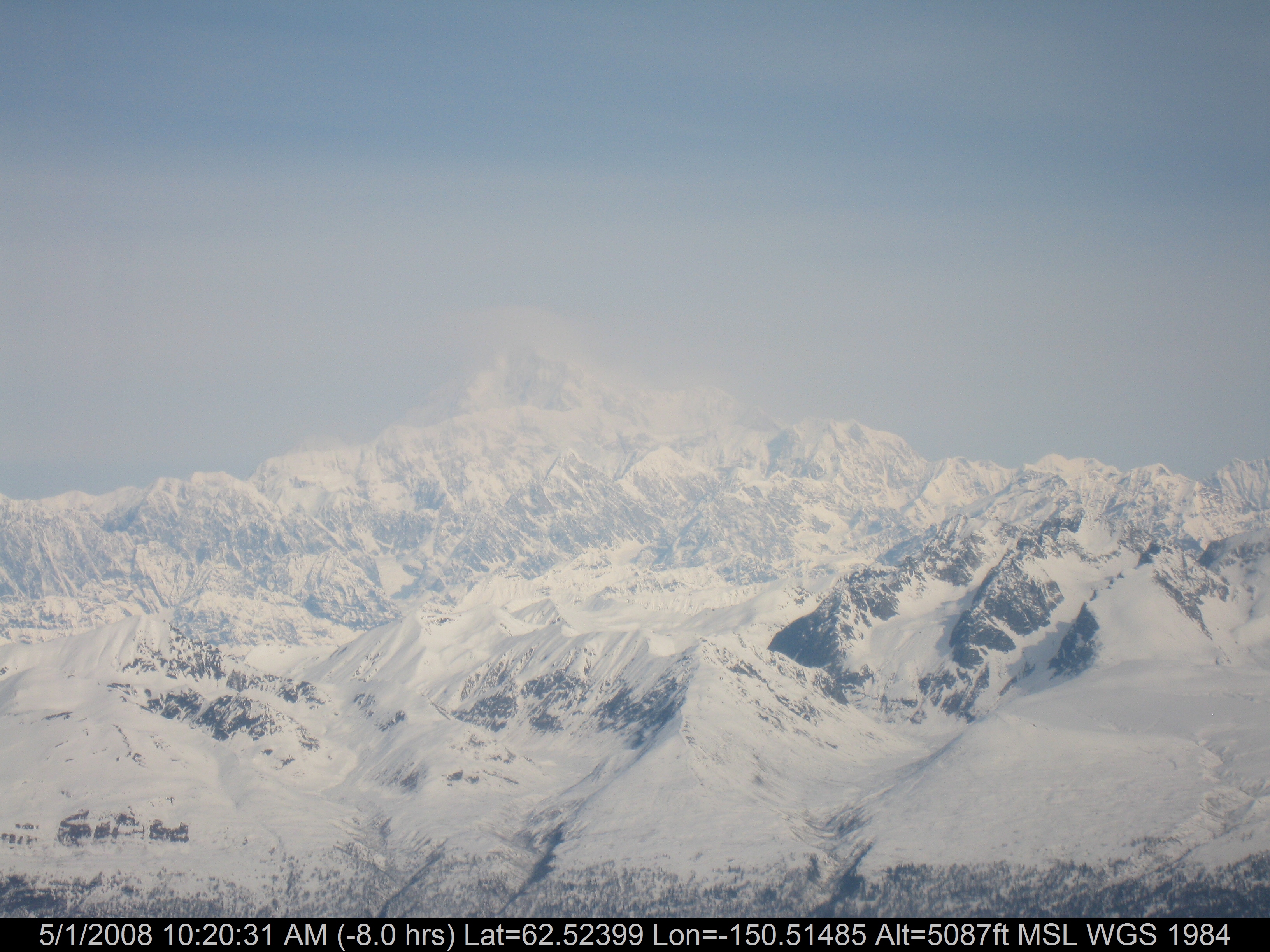
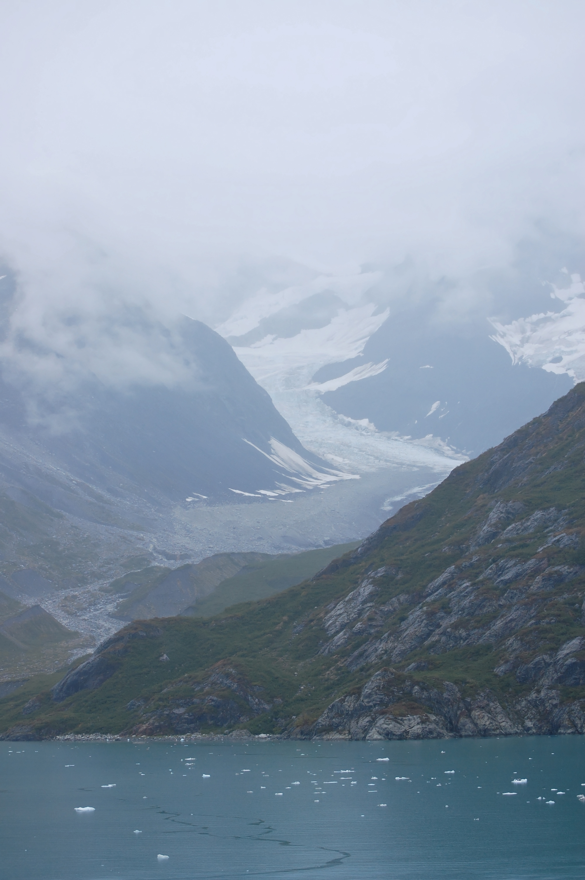
Alaska Range
Ketchikan-15
Ketchikan-37

Beside the Petersville Road
Day 02 Talkeetna-07-26-145200-IMG_8146
Topographic Map of Petersville, AK, USA
Find elevation by address:

Places in Petersville, AK, USA:
Places near Petersville, AK, USA:
36401 Petersville Rd
Cache Creek Trail, Petersville, AK, USA
Denali
Alaska Range
Peak A
North Peak
Skwentna
Denali National Park And Preserve
Denali National Park And Preserve
Recent Searches:
- Elevation of Corso Fratelli Cairoli, 35, Macerata MC, Italy
- Elevation of Tallevast Rd, Sarasota, FL, USA
- Elevation of 4th St E, Sonoma, CA, USA
- Elevation of Black Hollow Rd, Pennsdale, PA, USA
- Elevation of Oakland Ave, Williamsport, PA, USA
- Elevation of Pedrógão Grande, Portugal
- Elevation of Klee Dr, Martinsburg, WV, USA
- Elevation of Via Roma, Pieranica CR, Italy
- Elevation of Tavkvetili Mountain, Georgia
- Elevation of Hartfords Bluff Cir, Mt Pleasant, SC, USA