Elevation of Peak A, Alaska, USA
Location: United States > Alaska > Healy >
Longitude: -150.62333
Latitude: 63.1094444
Elevation: 3530m / 11581feet
Barometric Pressure: 65KPa
Elevation Map:
Satellite Map:
Related Photos:
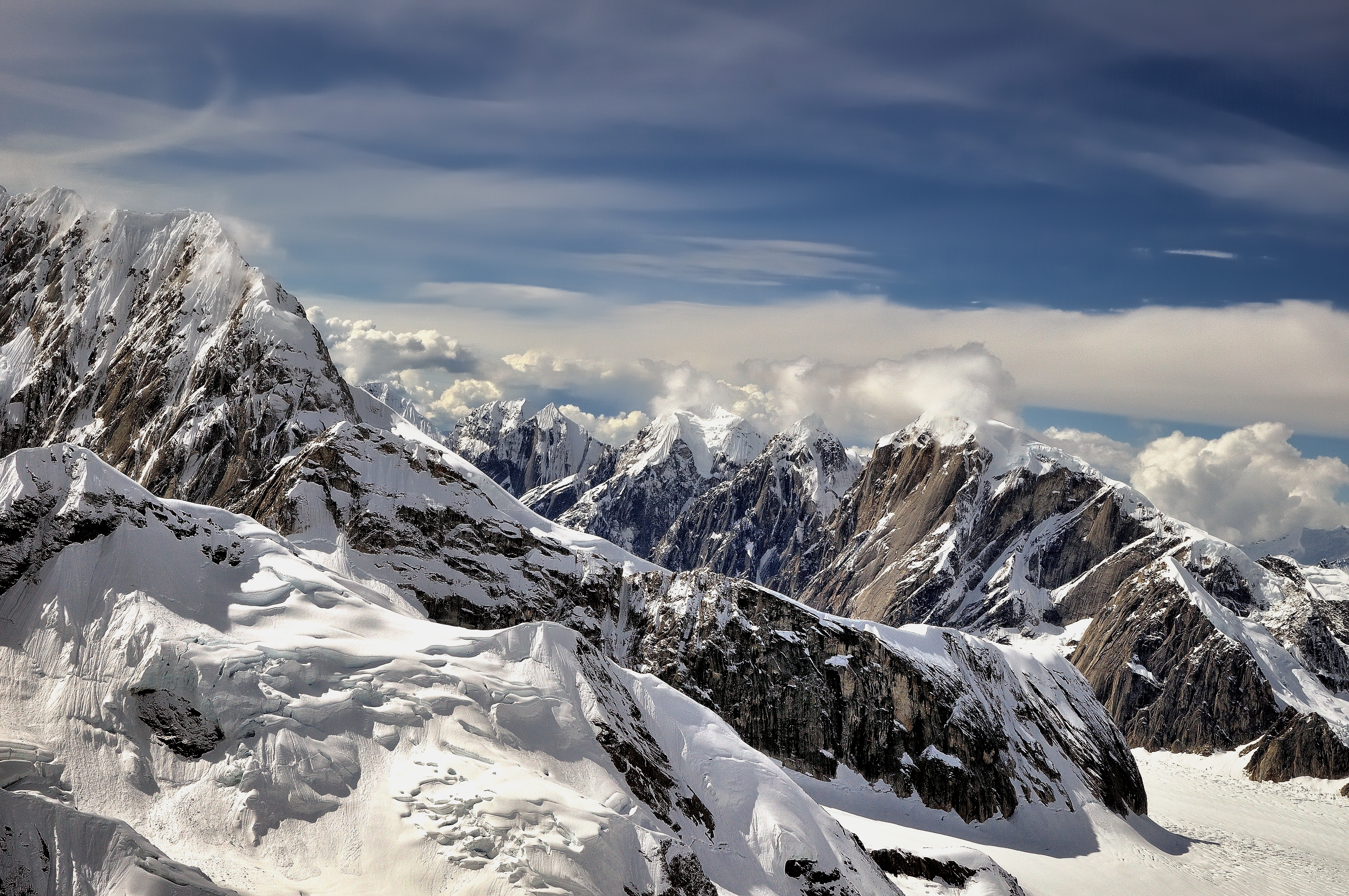
Heavenly View of Mountains, Snow and Surrounding Clouds
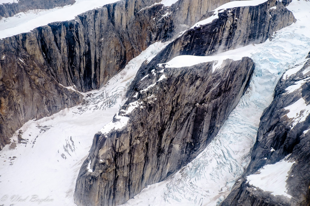
Mt. McKinley
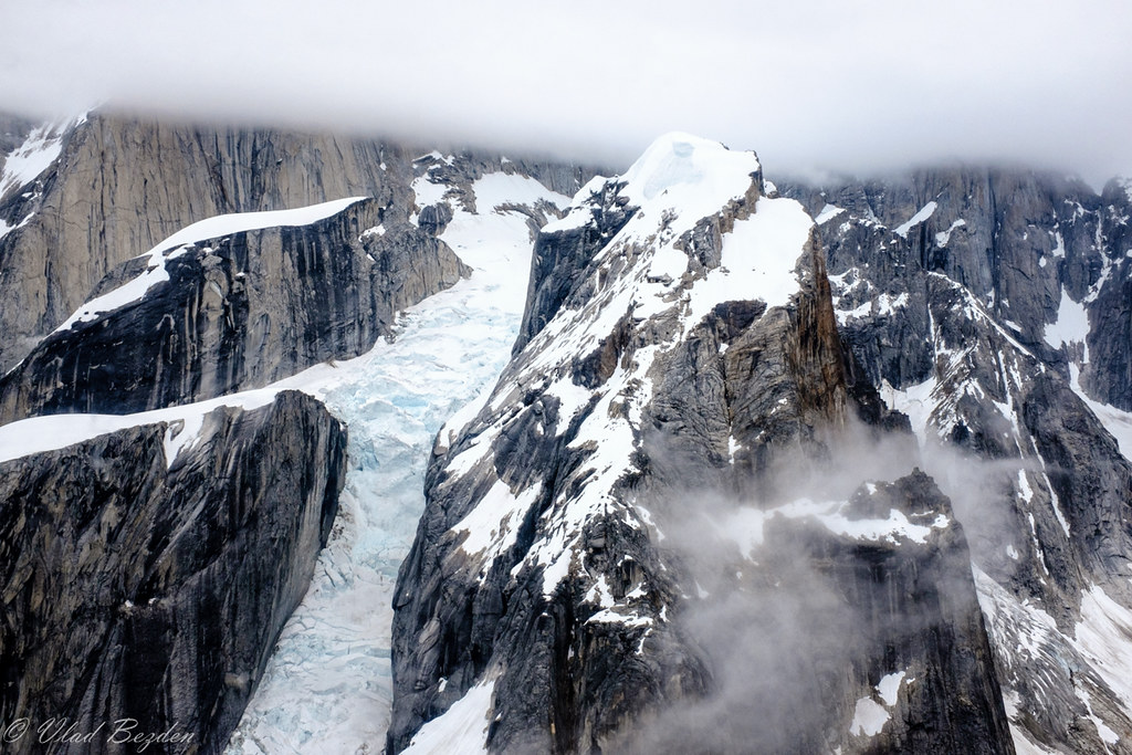
Mt. McKinley
Topographic Map of Peak A, Alaska, USA
Find elevation by address:

Places near Peak A, Alaska, USA:
North Peak
Denali
Alaska Range
Denali National Park And Preserve
Denali National Park And Preserve
Petersville
36401 Petersville Rd
Cache Creek Trail, Petersville, AK, USA
Skwentna
Recent Searches:
- Elevation of Corso Fratelli Cairoli, 35, Macerata MC, Italy
- Elevation of Tallevast Rd, Sarasota, FL, USA
- Elevation of 4th St E, Sonoma, CA, USA
- Elevation of Black Hollow Rd, Pennsdale, PA, USA
- Elevation of Oakland Ave, Williamsport, PA, USA
- Elevation of Pedrógão Grande, Portugal
- Elevation of Klee Dr, Martinsburg, WV, USA
- Elevation of Via Roma, Pieranica CR, Italy
- Elevation of Tavkvetili Mountain, Georgia
- Elevation of Hartfords Bluff Cir, Mt Pleasant, SC, USA