Elevation of Perthshire Rd, Gunnison, MS, USA
Location: United States > Mississippi > Bolivar County > Gunnison >
Longitude: -90.911810
Latitude: 33.9744457
Elevation: 48m / 157feet
Barometric Pressure: 101KPa
Elevation Map:
Satellite Map:
Related Photos:

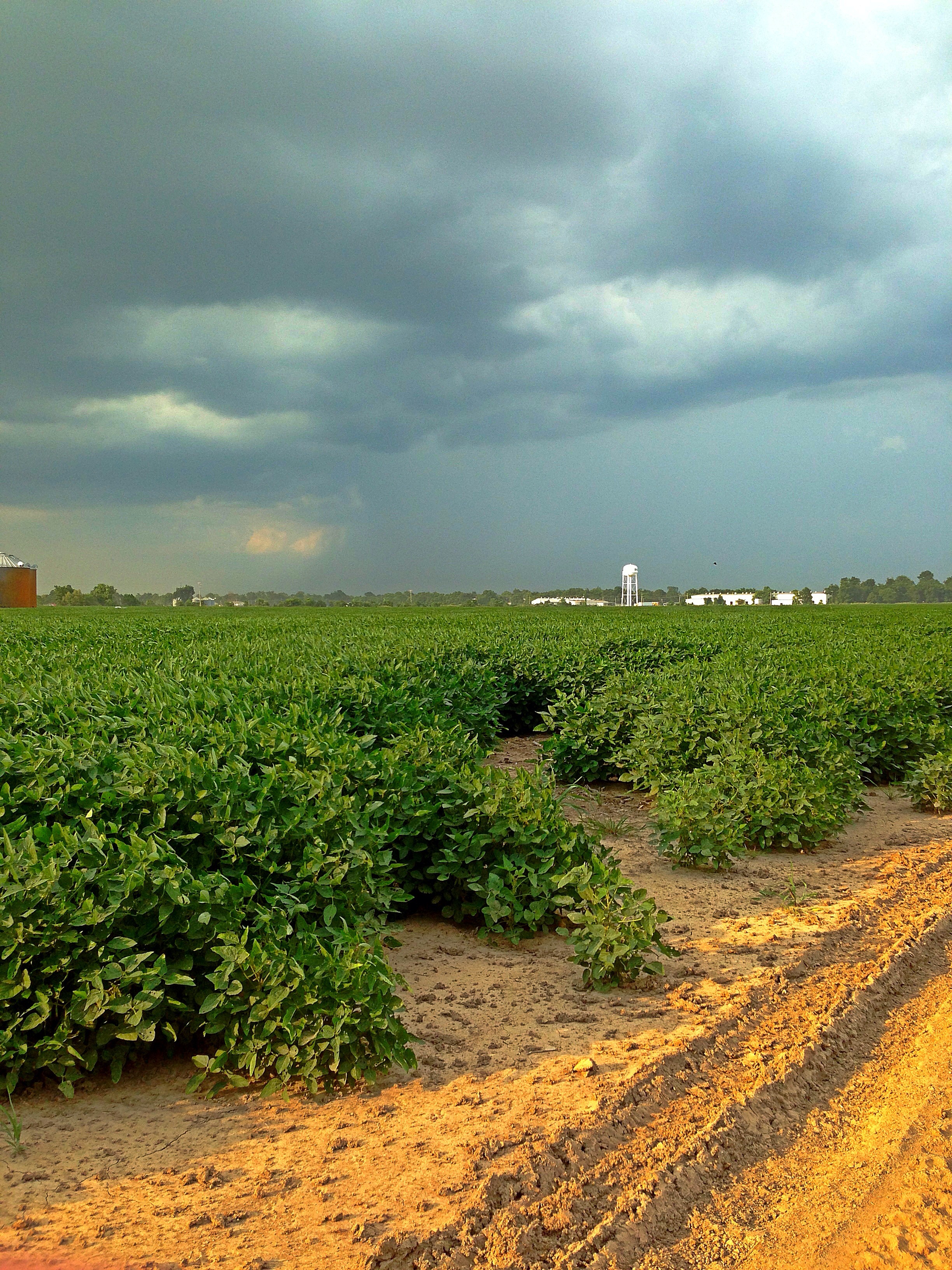
_DSC4876
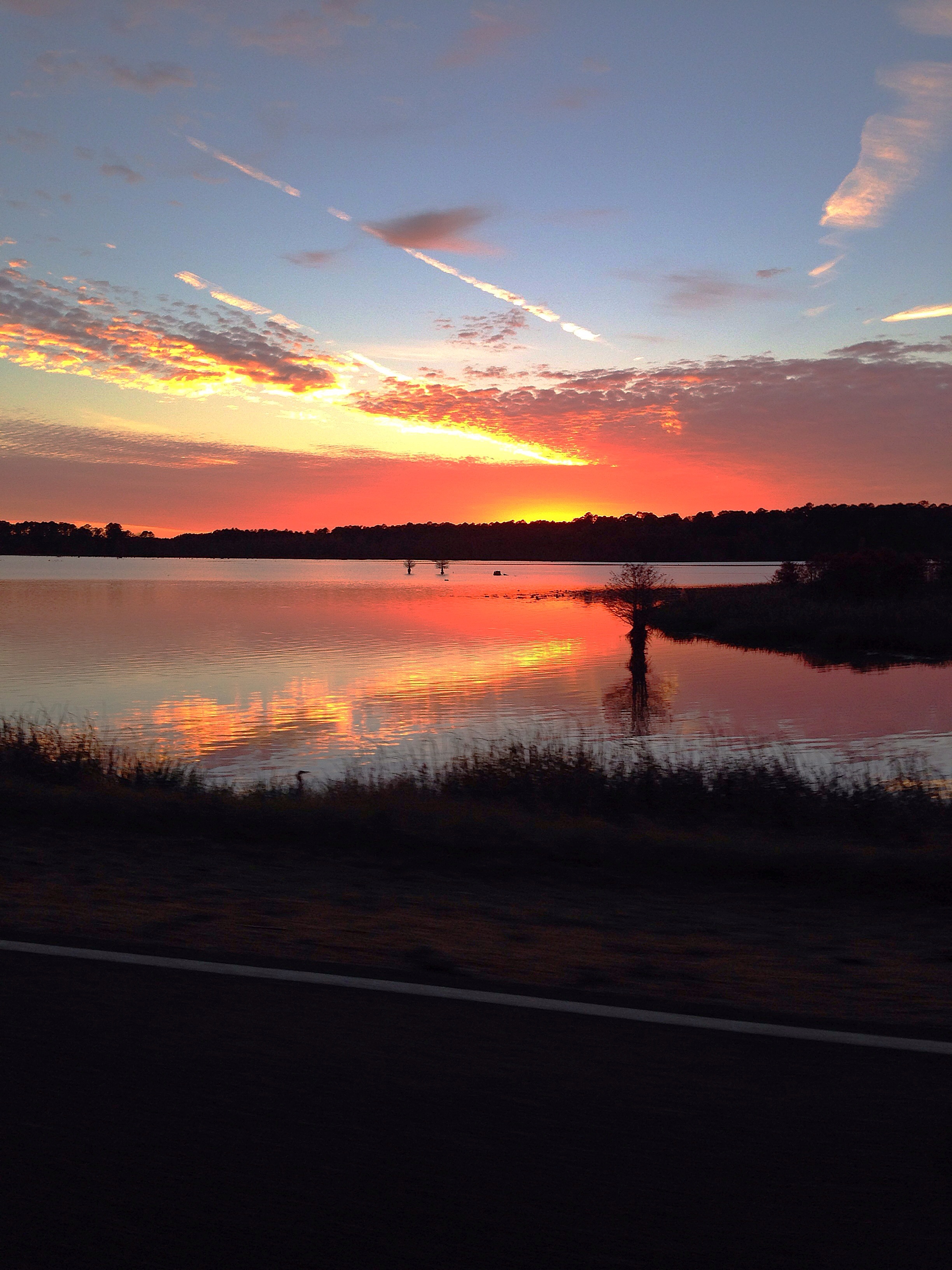

IMG_3888
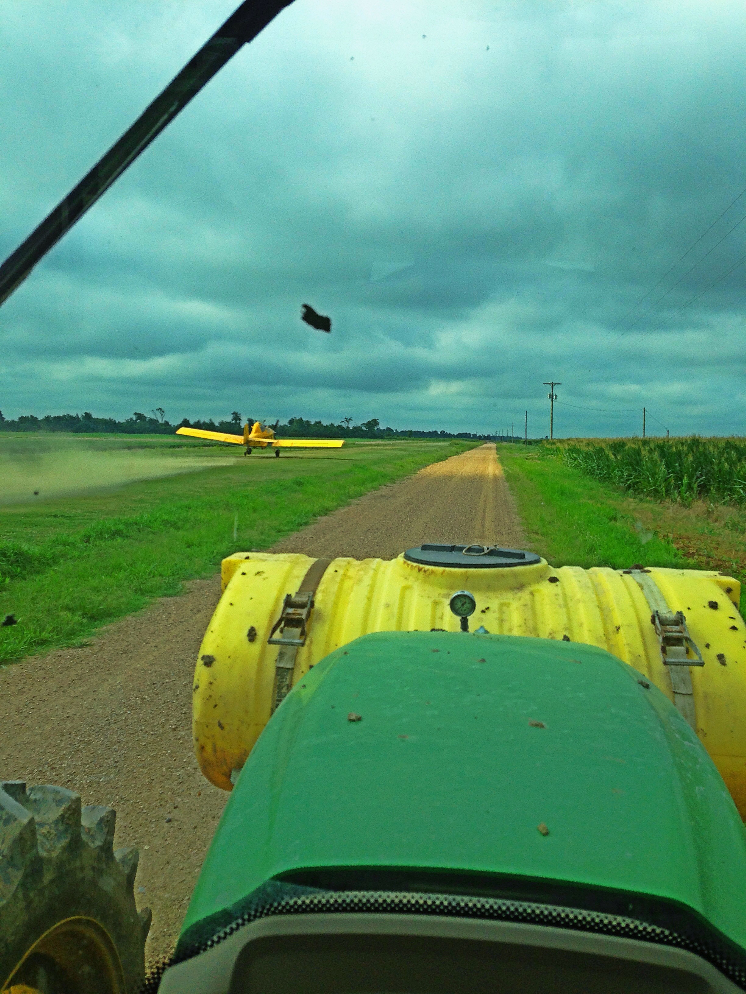
_DSC4852


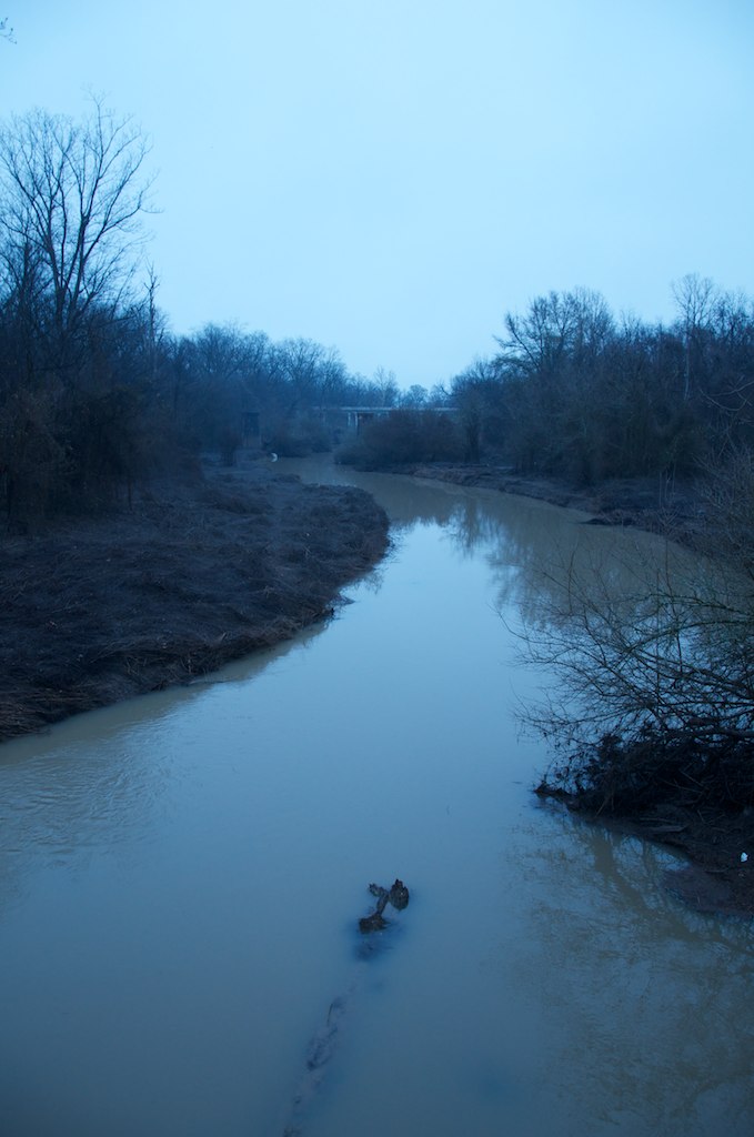
IMG_3948
_DSC1552
_DSC4867

_DSC4895
_DSC4917

_DSC4875
_DSC4894
_DSC1481
_DSC4924
_DSC4886
Topographic Map of Perthshire Rd, Gunnison, MS, USA
Find elevation by address:

Places near Perthshire Rd, Gunnison, MS, USA:
Gunnison
MS-1, Duncan, MS, USA
1016 Cattle Ranch Rd
Bolivar County
Shelby
E 2nd Ave, Shelby, MS, USA
Bruce St, Rosedale, MS, USA
Rosedale
84 Burroughs Rd, Shelby, MS, USA
Montgomery Point Lock & Dam (lock 99)
Duncan
Mound Bayou
Spencer St, Mound Bayou, MS, USA
Po' Monkey's Lounge
Merigold
1595 N Bayou Rd
1595 N Bayou Rd
Ford St, Clarksdale, MS, USA
Sunflower School Rd, Clarksdale, MS, USA
MS-1, Clarksdale, MS, USA
Recent Searches:
- Elevation of Corso Fratelli Cairoli, 35, Macerata MC, Italy
- Elevation of Tallevast Rd, Sarasota, FL, USA
- Elevation of 4th St E, Sonoma, CA, USA
- Elevation of Black Hollow Rd, Pennsdale, PA, USA
- Elevation of Oakland Ave, Williamsport, PA, USA
- Elevation of Pedrógão Grande, Portugal
- Elevation of Klee Dr, Martinsburg, WV, USA
- Elevation of Via Roma, Pieranica CR, Italy
- Elevation of Tavkvetili Mountain, Georgia
- Elevation of Hartfords Bluff Cir, Mt Pleasant, SC, USA