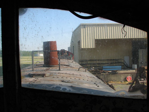
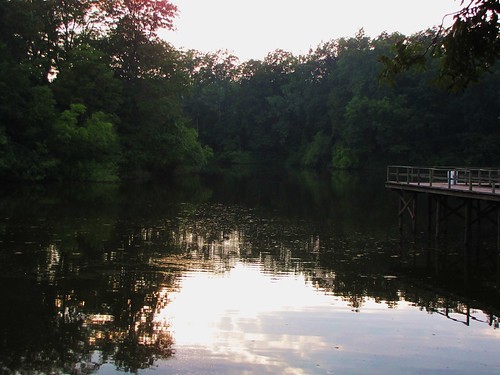
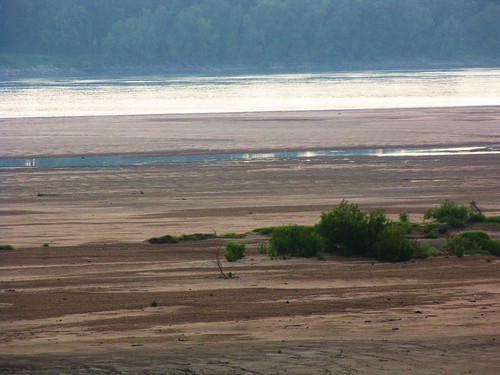
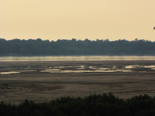
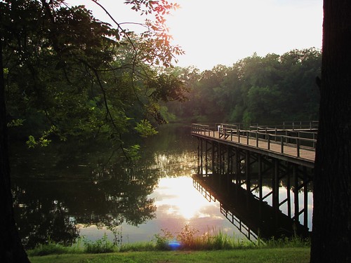
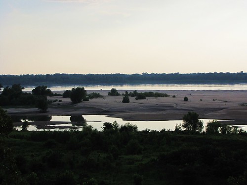
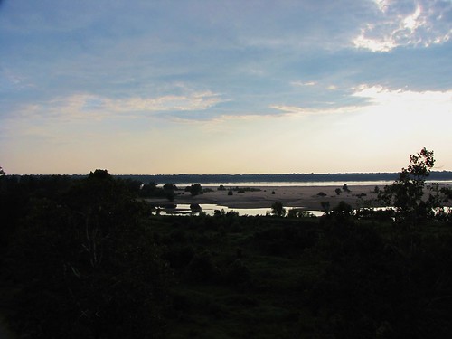
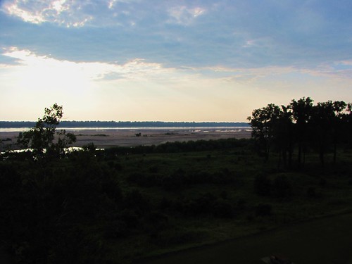
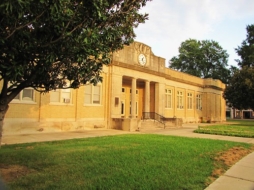
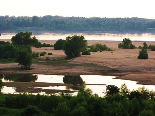
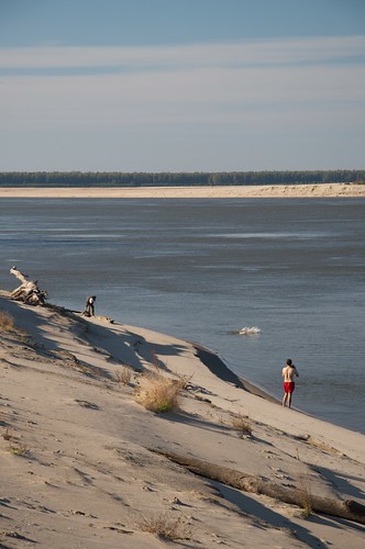
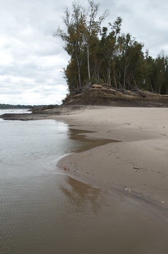
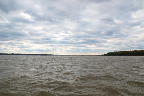
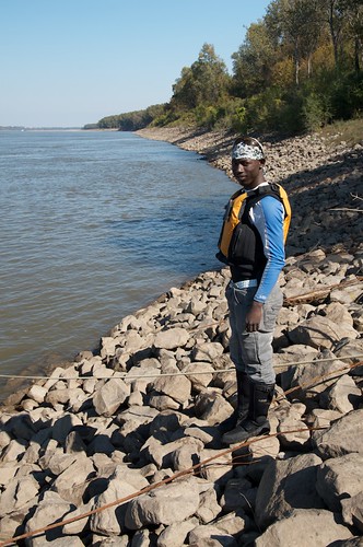
Elevation of Bruce St, Rosedale, MS, USA
Location: United States > Mississippi > Bolivar County > Rosedale >
Longitude: -91.027333
Latitude: 33.8531497
Elevation: 46m / 151feet
Barometric Pressure: 101KPa
Related Photos:
Topographic Map of Bruce St, Rosedale, MS, USA
Find elevation by address:

Places near Bruce St, Rosedale, MS, USA:
Rosedale
Montgomery Point Lock & Dam (lock 99)
1016 Cattle Ranch Rd
Gunnison
Perthshire Rd, Gunnison, MS, USA
Bolivar County
AR-1, Watson, AR, USA
Watson
MS-1, Duncan, MS, USA
Red Fork Township
Baxter Rd, Watson, AR, USA
Richland Township
Po' Monkey's Lounge
Chester Township
Shelby
E 2nd Ave, Shelby, MS, USA
1595 N Bayou Rd
1595 N Bayou Rd
10 Bayou Cove Cir, McGehee, AR, USA
Mound Bayou
Recent Searches:
- Elevation of Corso Fratelli Cairoli, 35, Macerata MC, Italy
- Elevation of Tallevast Rd, Sarasota, FL, USA
- Elevation of 4th St E, Sonoma, CA, USA
- Elevation of Black Hollow Rd, Pennsdale, PA, USA
- Elevation of Oakland Ave, Williamsport, PA, USA
- Elevation of Pedrógão Grande, Portugal
- Elevation of Klee Dr, Martinsburg, WV, USA
- Elevation of Via Roma, Pieranica CR, Italy
- Elevation of Tavkvetili Mountain, Georgia
- Elevation of Hartfords Bluff Cir, Mt Pleasant, SC, USA
