Elevation of Perth County, ON, Canada
Location: Canada > Ontario >
Longitude: -81.075465
Latitude: 43.518746
Elevation: 365m / 1198feet
Barometric Pressure: 97KPa
Elevation Map:
Satellite Map:
Related Photos:

Day 155: Madill Track & Field Team Rocks the Regionals

Countryside. #stratford

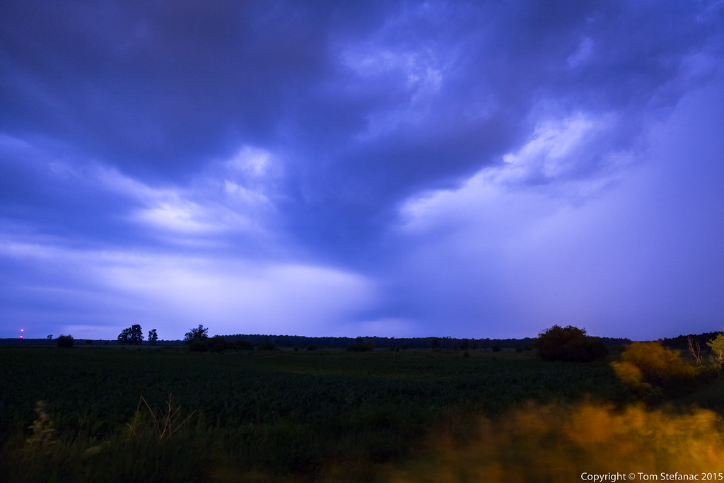
Scud Lifting
Elevated Look
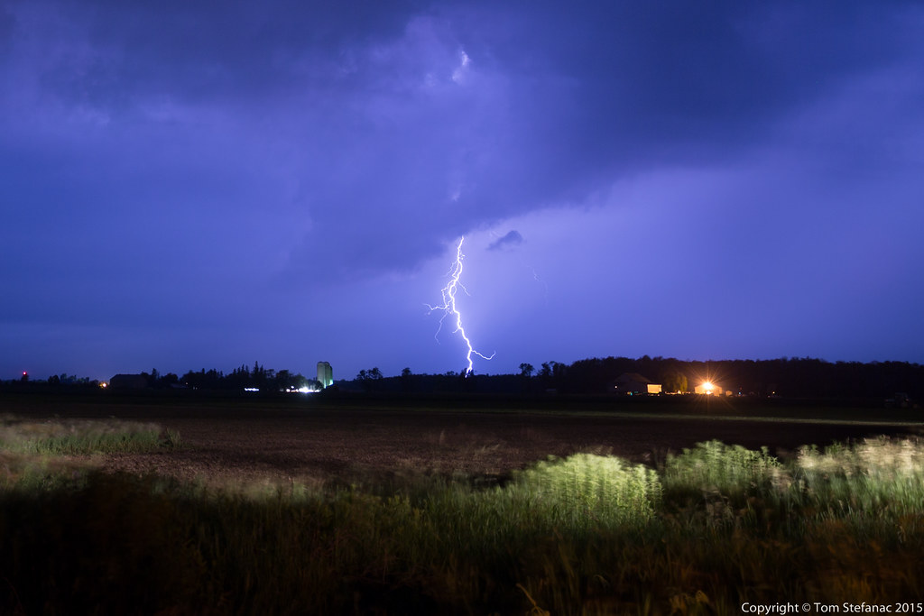
Supercell Lightning

Drift Bustin' outside of Mitchell

More Scud

Really Late

Stratford fields. On a bike ride.
Clearing Structure

Gobbling Up The Farms
Farm Field
Topographic Map of Perth County, ON, Canada
Find elevation by address:

Places in Perth County, ON, Canada:
Perth East
North Perth
Stratford
West Perth
Perth South
Saint Marys
Water St S, St. Marys, ON N4X, Canada
Places near Perth County, ON, Canada:
Wartburg
Perth County Rd, Rostock, ON N0K 1T0, Canada
Rostock
First St John's Lutheran Chr
Sebringville
Perth East
Mitchell
6658 42 Line
128 Adelaide St
West Perth
Dr. Jacinta Willems Nd
81 Herbert St
Carlingford
37 Hossie Terrace
13 Windemere Crescent
701 W Gore St
147 Avon St
147 Avon St
Perth County Rd, Gads Hill, ON N0K 1J0, Canada
Gads Hill
Recent Searches:
- Elevation of Corso Fratelli Cairoli, 35, Macerata MC, Italy
- Elevation of Tallevast Rd, Sarasota, FL, USA
- Elevation of 4th St E, Sonoma, CA, USA
- Elevation of Black Hollow Rd, Pennsdale, PA, USA
- Elevation of Oakland Ave, Williamsport, PA, USA
- Elevation of Pedrógão Grande, Portugal
- Elevation of Klee Dr, Martinsburg, WV, USA
- Elevation of Via Roma, Pieranica CR, Italy
- Elevation of Tavkvetili Mountain, Georgia
- Elevation of Hartfords Bluff Cir, Mt Pleasant, SC, USA