Elevation of 81 Herbert St, Mitchell, ON N0K 1N0, Canada
Location: Canada > Ontario > Perth County > West Perth > Mitchell >
Longitude: -81.200994
Latitude: 43.4615743
Elevation: 338m / 1109feet
Barometric Pressure: 97KPa
Elevation Map:
Satellite Map:
Related Photos:

Blue Grosbeak in Perth County

Blue Grosbeak in Perth County
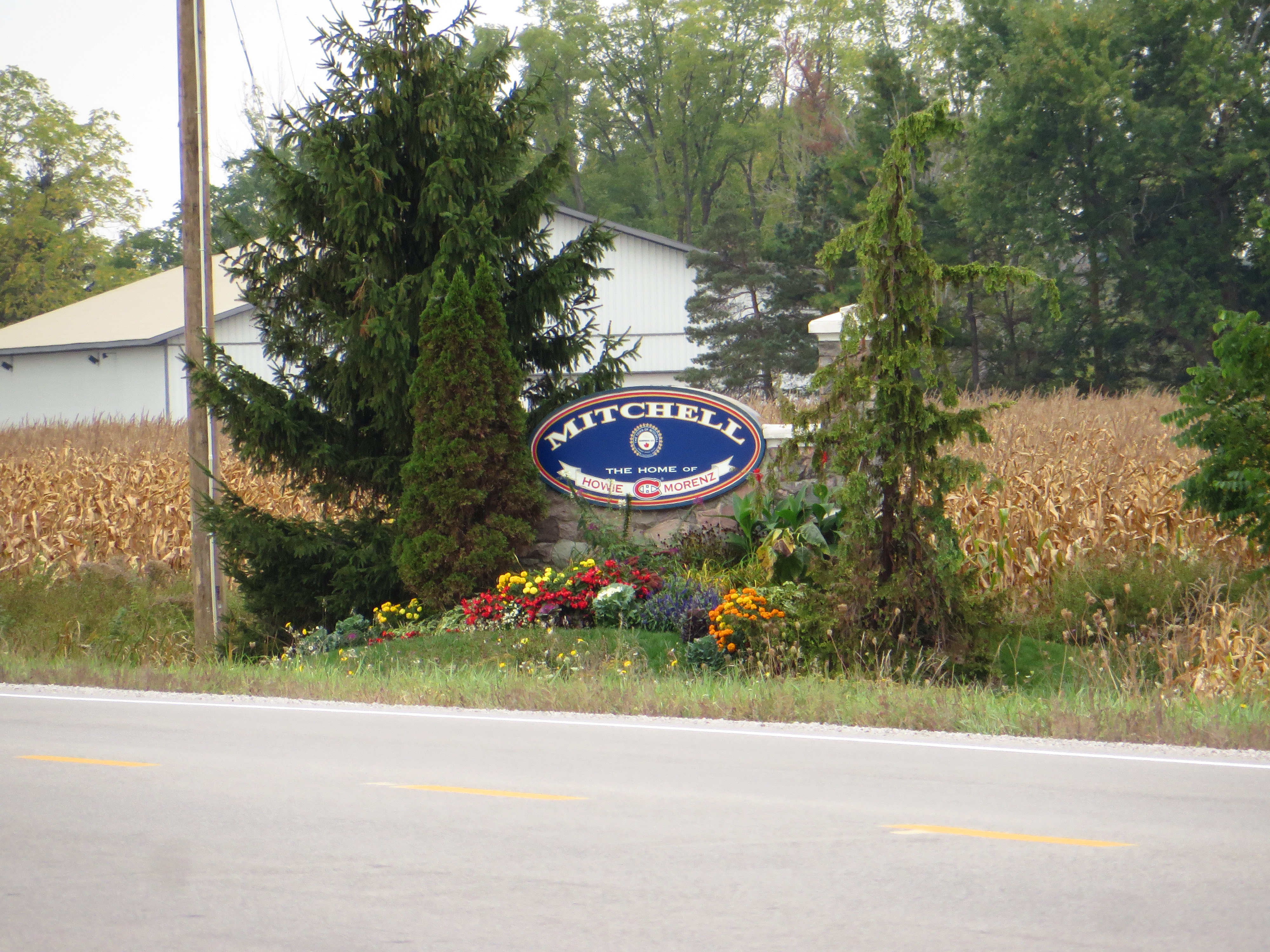
Mitchell, Ontario

First Day of Spring

Drift Bustin' outside of Mitchell
20160626-085A7757.jpg
Clearing Structure

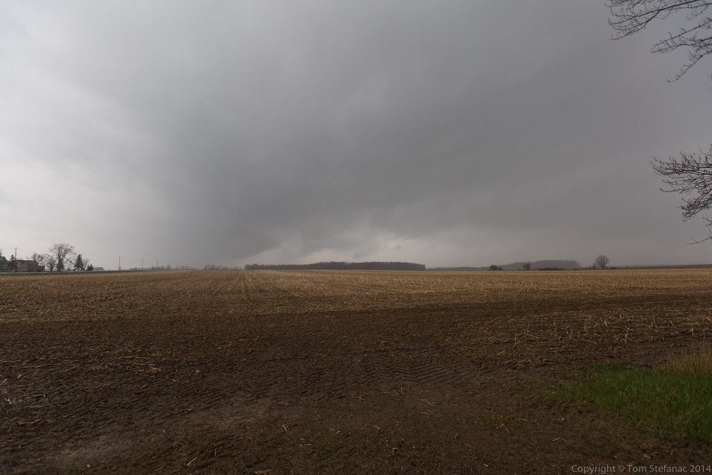
Gobbling Up The Farms

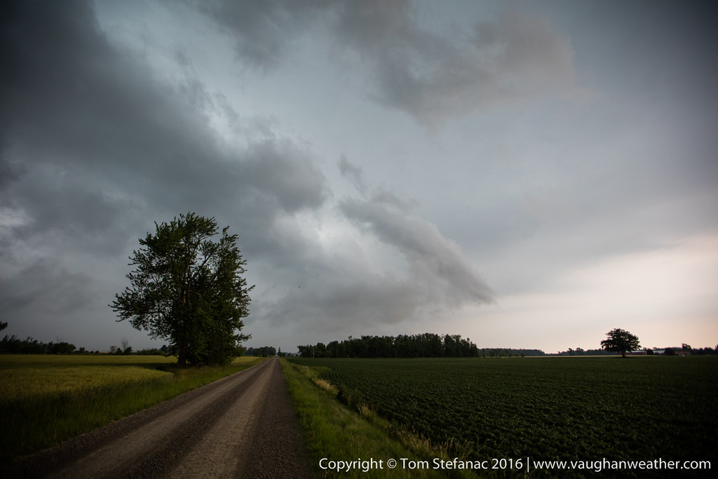
July 8, 2016 Storm Chase
Low Level Moisture
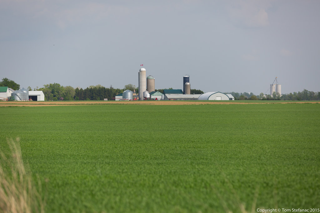
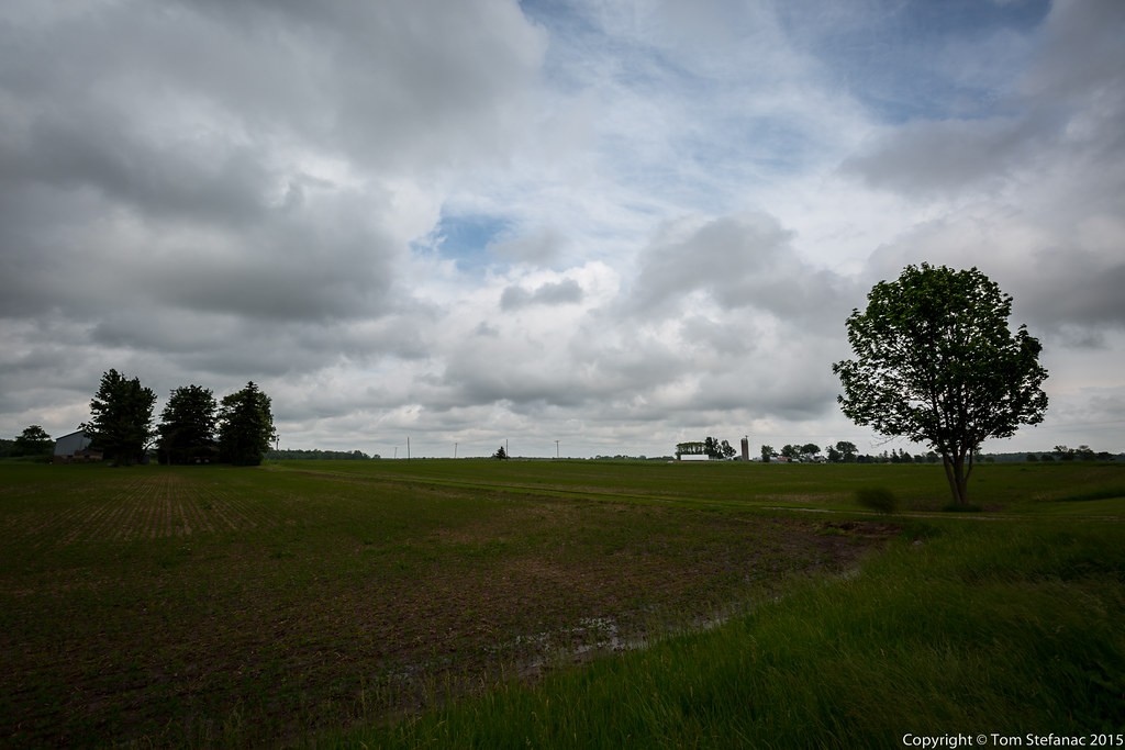
Farm Field
Topographic Map of 81 Herbert St, Mitchell, ON N0K 1N0, Canada
Find elevation by address:

Places near 81 Herbert St, Mitchell, ON N0K 1N0, Canada:
128 Adelaide St
Mitchell
West Perth
6658 42 Line
26 Line, Staffa, ON N0K 1Y0, Canada
Dr. Jacinta Willems Nd
Carlingford
First St John's Lutheran Chr
Perth County
Staffa
Sebringville
Wartburg
Perth County Rd, Rostock, ON N0K 1T0, Canada
Perth South
Hensall Road
Rostock
Trailside Court
Perth Rd, St. Marys, ON N4X 1C4, Canada
Seaforth Golf & Country Club
Saint Marys
Recent Searches:
- Elevation of Corso Fratelli Cairoli, 35, Macerata MC, Italy
- Elevation of Tallevast Rd, Sarasota, FL, USA
- Elevation of 4th St E, Sonoma, CA, USA
- Elevation of Black Hollow Rd, Pennsdale, PA, USA
- Elevation of Oakland Ave, Williamsport, PA, USA
- Elevation of Pedrógão Grande, Portugal
- Elevation of Klee Dr, Martinsburg, WV, USA
- Elevation of Via Roma, Pieranica CR, Italy
- Elevation of Tavkvetili Mountain, Georgia
- Elevation of Hartfords Bluff Cir, Mt Pleasant, SC, USA